Elevation of Unam Station, North Pyongan, North Korea
Location: North Korea > North Pyongan >
Longitude: 125.400990
Latitude: 39.6013236
Elevation: 10m / 33feet
Barometric Pressure: 101KPa
Elevation Map:
Satellite Map:
Related Photos:
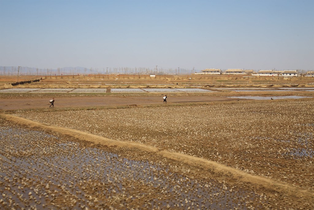
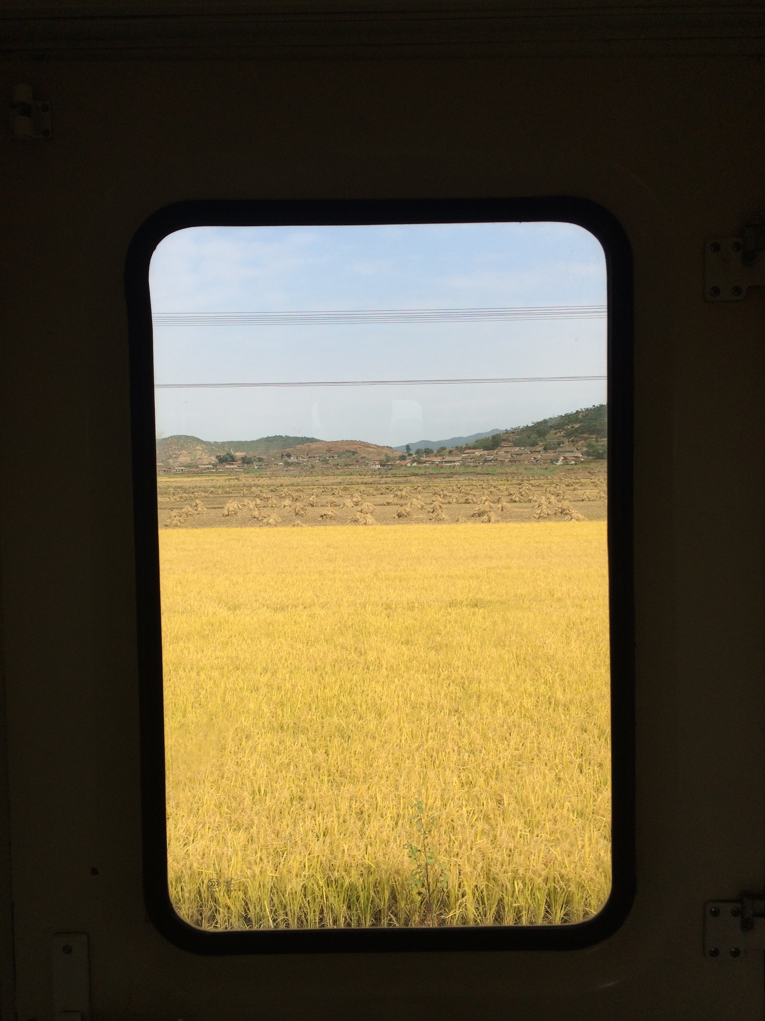
Corée du Nord
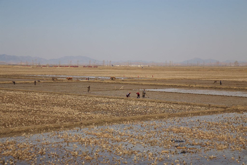
Corée du Nord
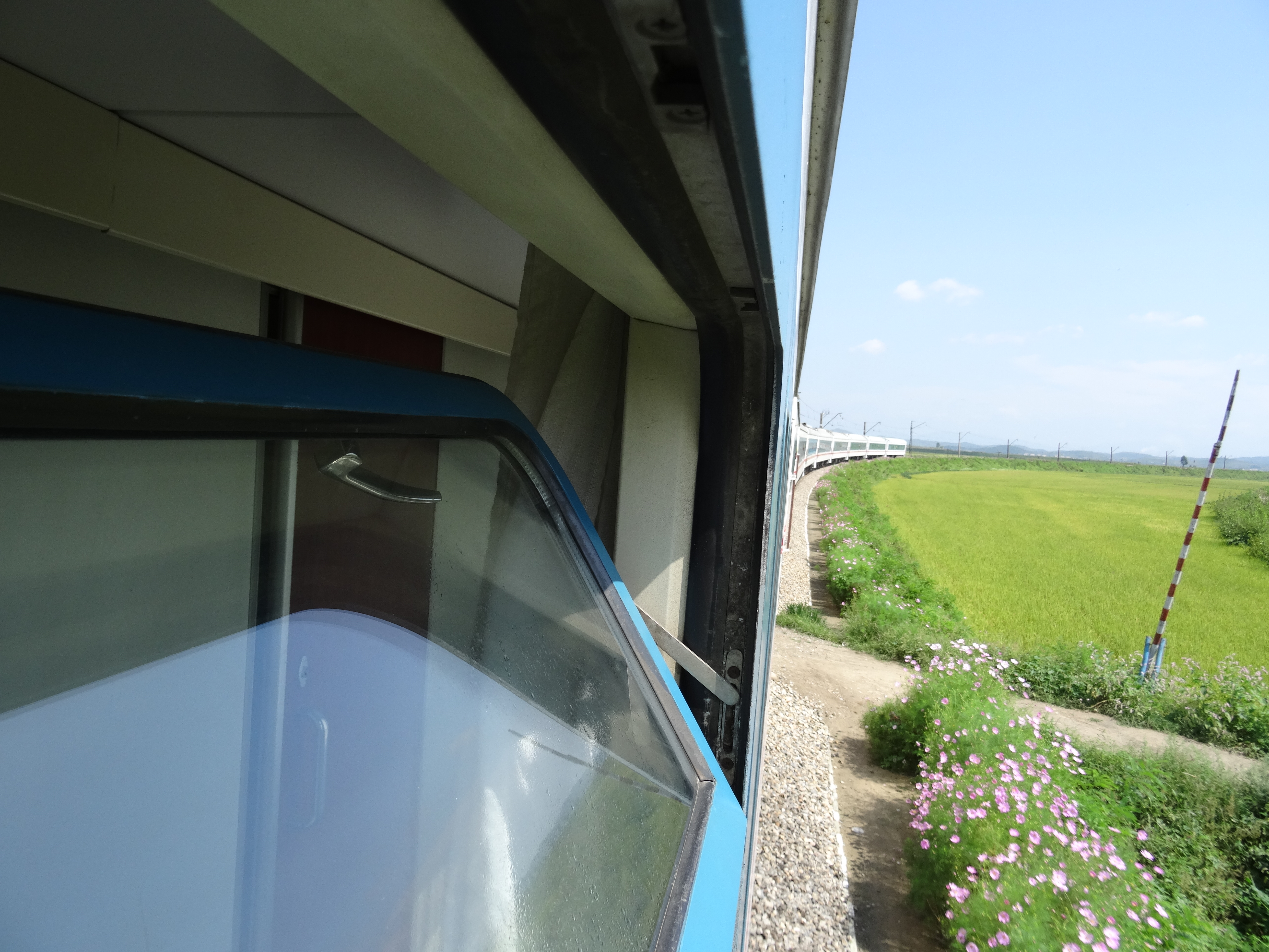
Trein DPRK

Taegyo / 대교 (North Korea) - Railway Station
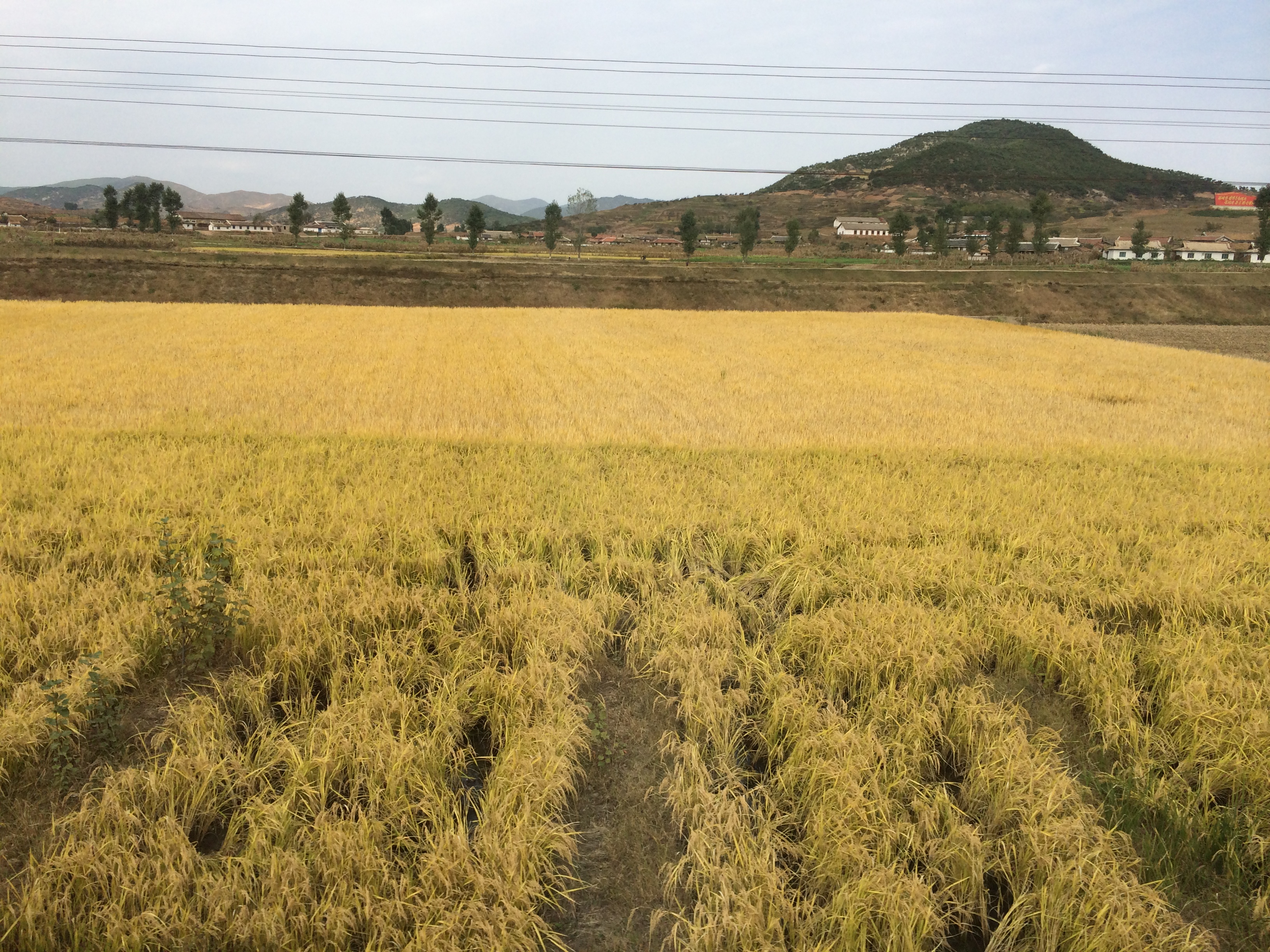
2014 Oct North Korea trip DPRK (2450)
2014 Oct North Korea trip DPRK (2452)
Topographic Map of Unam Station, North Pyongan, North Korea
Find elevation by address:

Places near Unam Station, North Pyongan, North Korea:
Sinanju Cheongnyeon Station
Jeongju Cheongnyeon Station
Mundeok Station
Chongju
Anju
North Pyongan
Kusong
Kaechon
Sunchŏn
Hyangsan
Tokchon
Hyangsan Hotel
Mount Myohyang
Huichon
Chagang
Recent Searches:
- Elevation of Estates Loop, Priest River, ID, USA
- Elevation of Woodland Oak Pl, Thousand Oaks, CA, USA
- Elevation of Brownsdale Rd, Renfrew, PA, USA
- Elevation of Corcoran Ln, Suffolk, VA, USA
- Elevation of Mamala II, Sariaya, Quezon, Philippines
- Elevation of Sarangdanda, Nepal
- Elevation of 7 Waterfall Way, Tomball, TX, USA
- Elevation of SW 57th Ave, Portland, OR, USA
- Elevation of Crocker Dr, Vacaville, CA, USA
- Elevation of Pu Ngaol Community Meeting Hall, HWHM+3X7, Krong Saen Monourom, Cambodia