Elevation map of Mount Myohyang, Mt. Myohyang
Location: North Korea > North Pyongan >
Longitude: 126.326894
Latitude: 39.9823817
Elevation: 1456m / 4777feet
Barometric Pressure: 85KPa
Elevation Map:
Satellite Map:
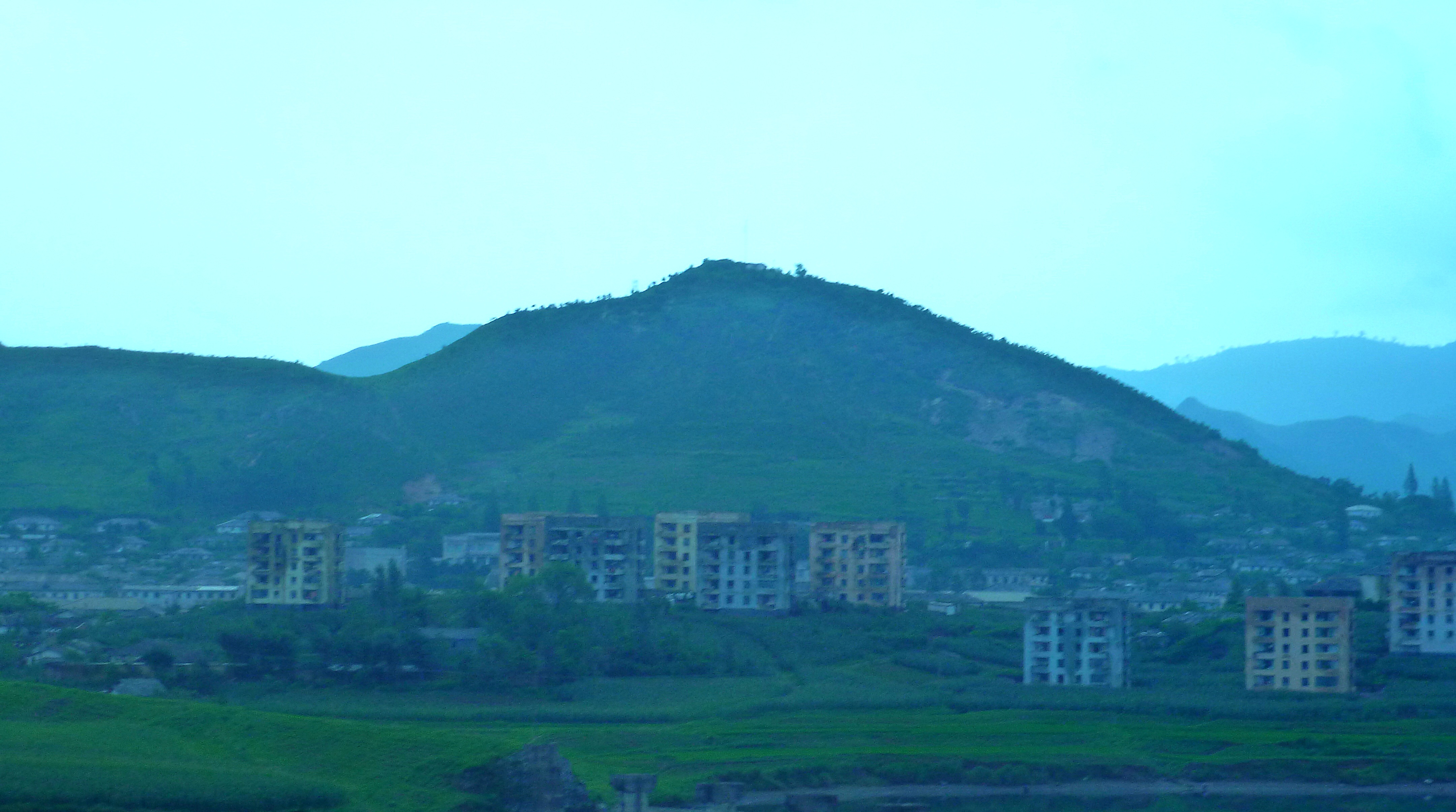
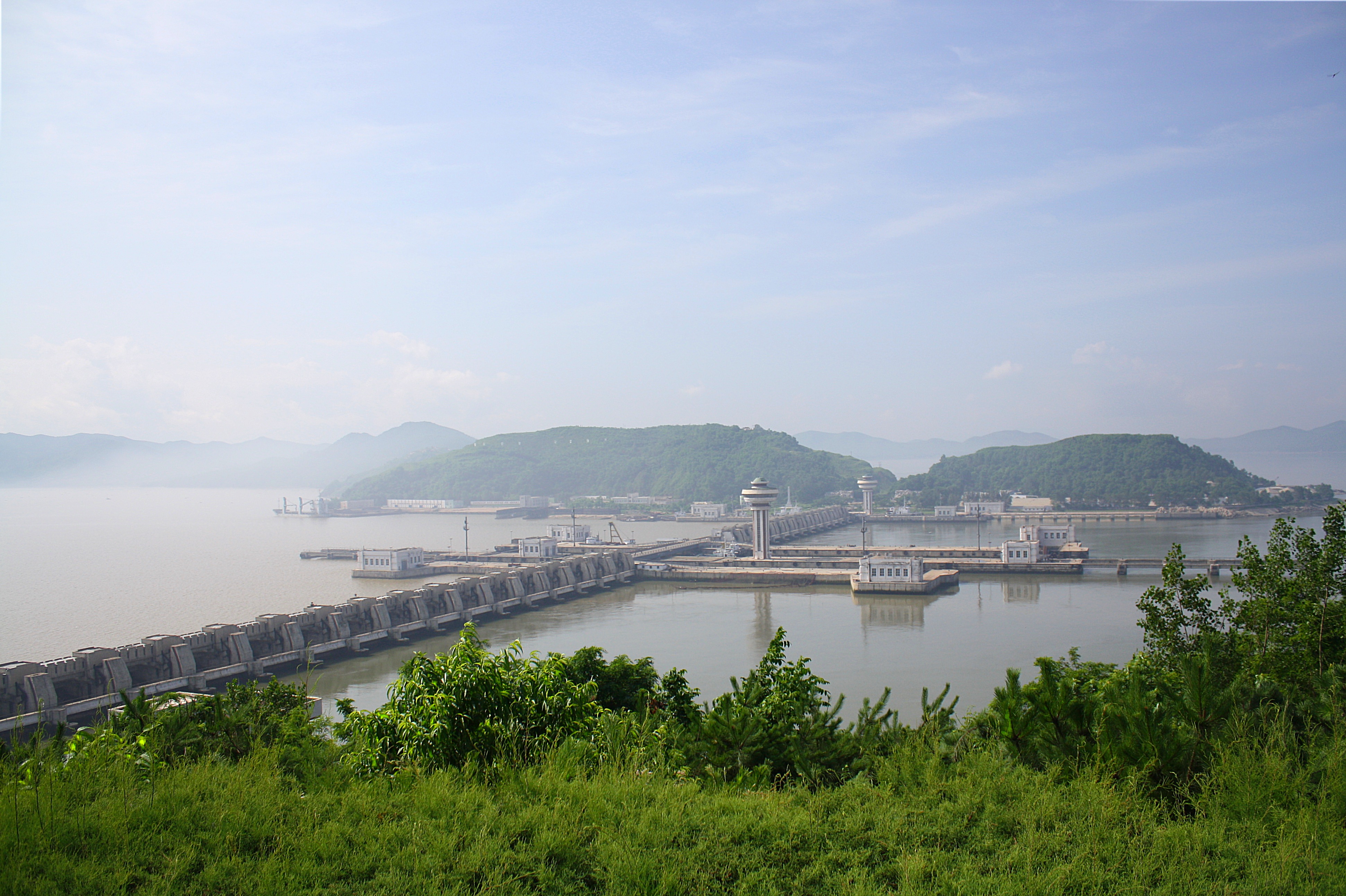
Related Photos:
View from the back patio
2011-08-15-20-56-11_1000002354
2011-08-11-19-53-24_1000001817
2011-08-09-19-15-35_1000001708
Hyangsan Hike
2011-08-11-13-02-58_1000001787
2011-08-14-13-53-08_1000002102
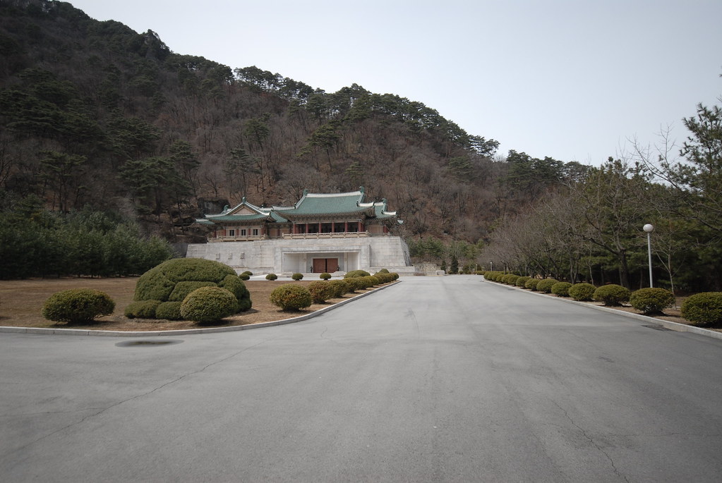
Kim Jong Il friendship exhibition
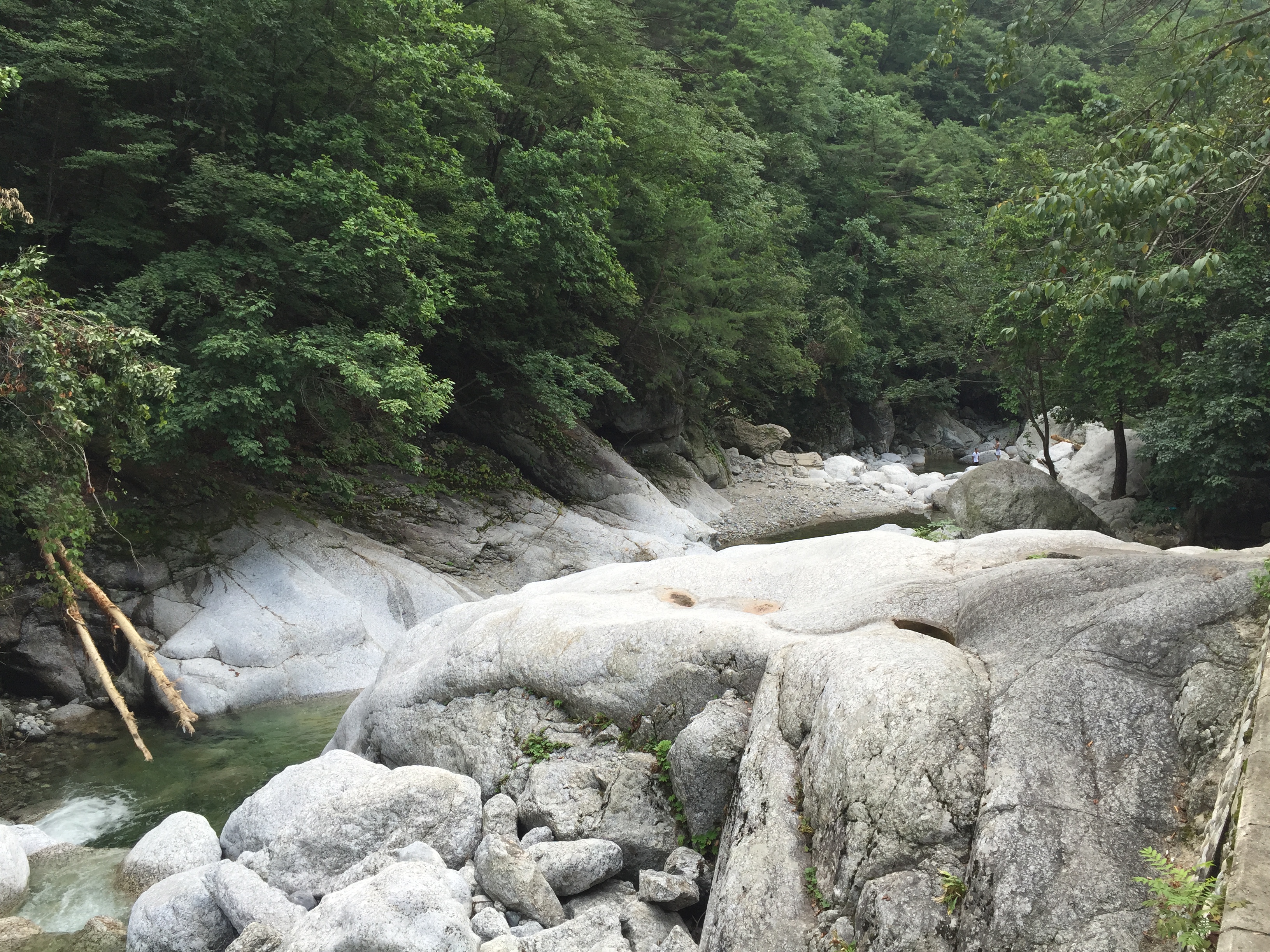
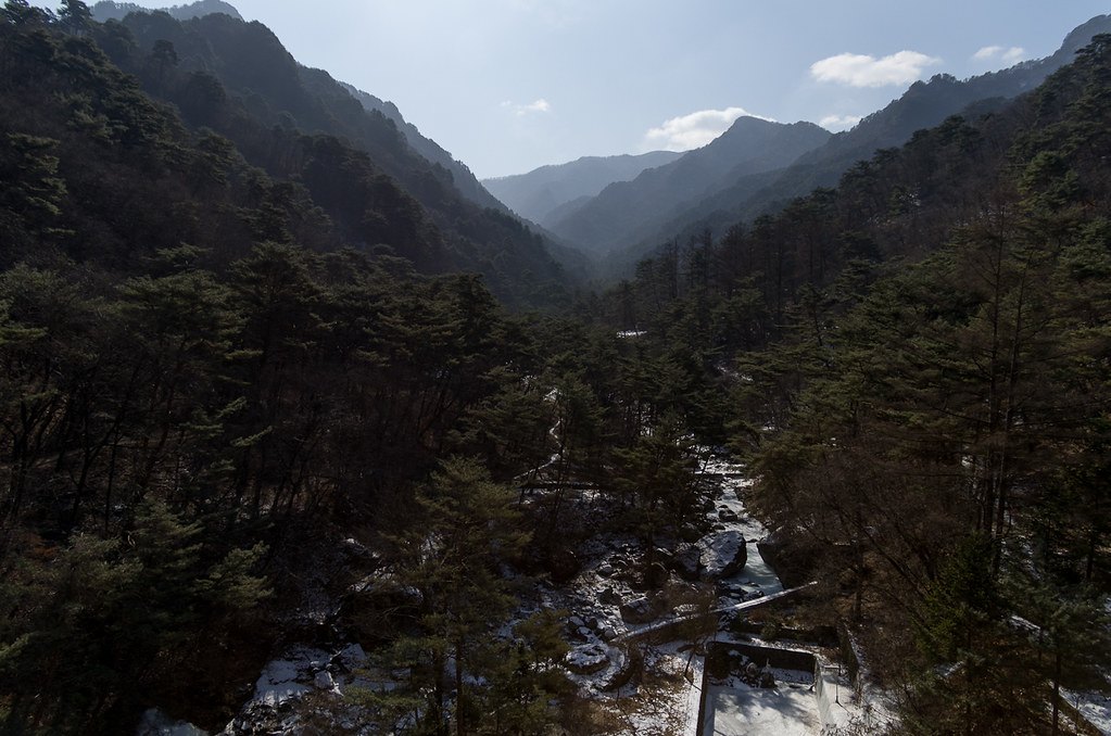
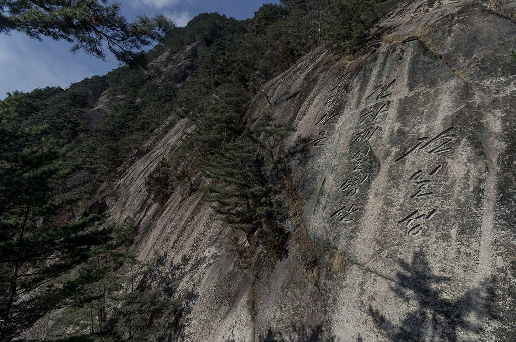
묘향산 계곡
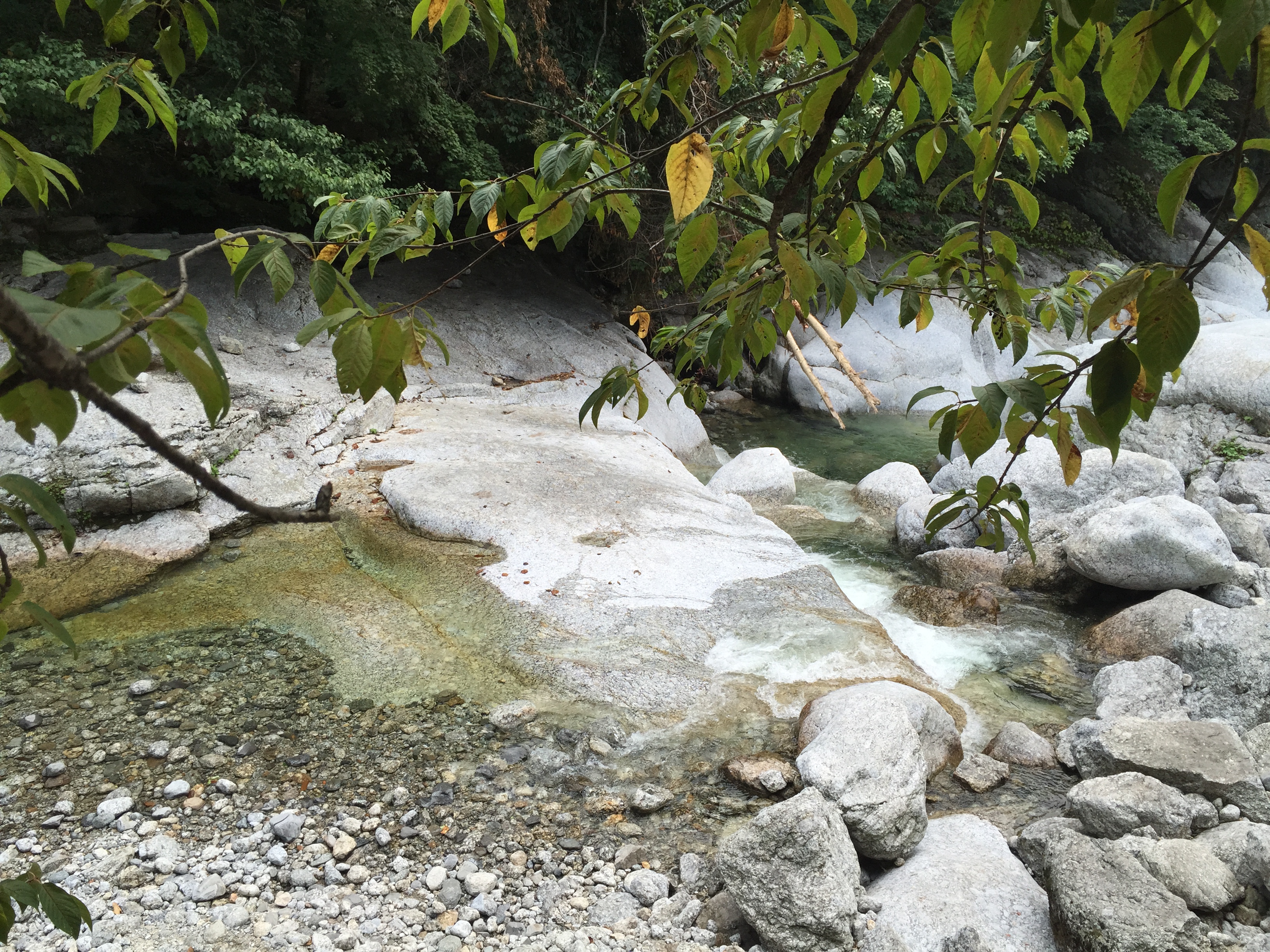
묘향산 계곡
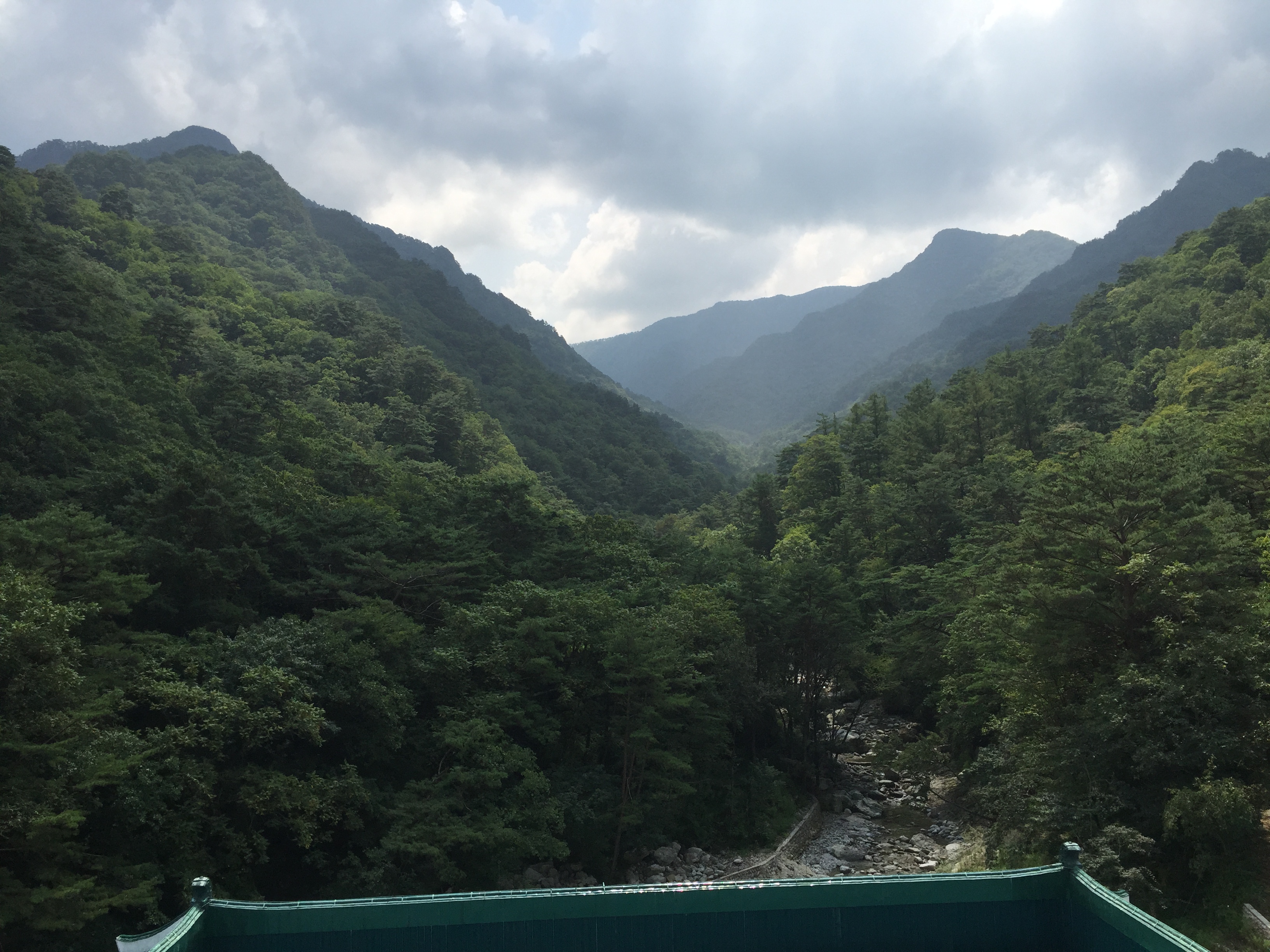
묘향산
Topographic Map of Mount Myohyang, Mt. Myohyang
Find elevation by address:

Places near Mount Myohyang, Mt. Myohyang:
Hyangsan Hotel
Hyangsan
Huichon
Tokchon
Kaechon
Sunchŏn
Anju
Chagang
Sinanju Cheongnyeon Station
Mundeok Station
North Pyongan
Unam Station
Kusong
Jeongju Cheongnyeon Station
Chongju
Recent Searches:
- Elevation of SW Elderview Dr, Sherwood, OR, USA
- Elevation of Hickory St, Greenville, NC, USA
- Elevation of Poplar Ln, Guffey, CO, USA
- Elevation of Falling Spring Rd, Clyde, NC, USA
- Elevation of Kingsfield St, Castle Rock, CO, USA
- Elevation of AMELIA CT HSE, VA, USA
- Elevation of Abbey Dr, Virginia Beach, VA, USA
- Elevation of Brooks Lp, Spearfish, SD, USA
- Elevation of Panther Dr, Maggie Valley, NC, USA
- Elevation of Jais St - Wadi Shehah - Ras al Khaimah - United Arab Emirates