Elevation of Chongju, North Pyongan, North Korea
Location: North Korea > North Pyongan >
Longitude: 125.206683
Latitude: 39.6975916
Elevation: 27m / 89feet
Barometric Pressure: 101KPa
Elevation Map:
Satellite Map:
Related Photos:
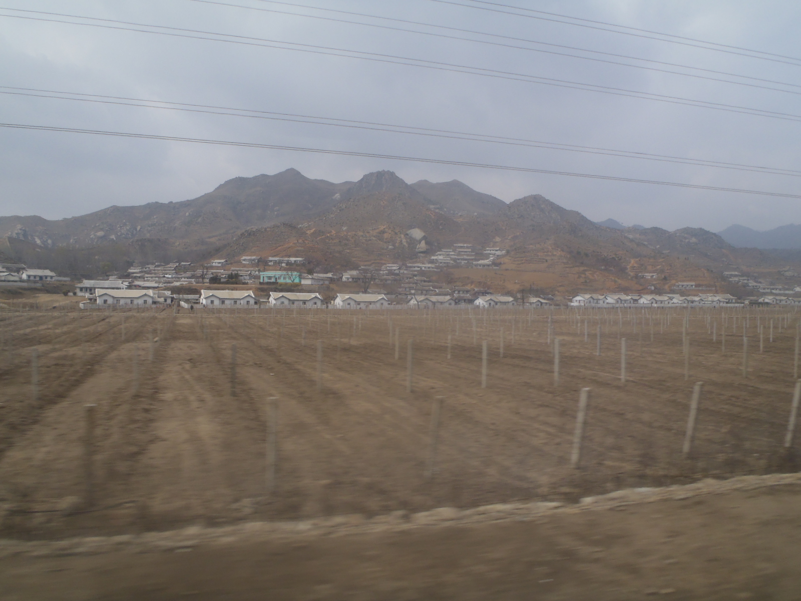
P4300209
P4300212

P4300211
P4300214

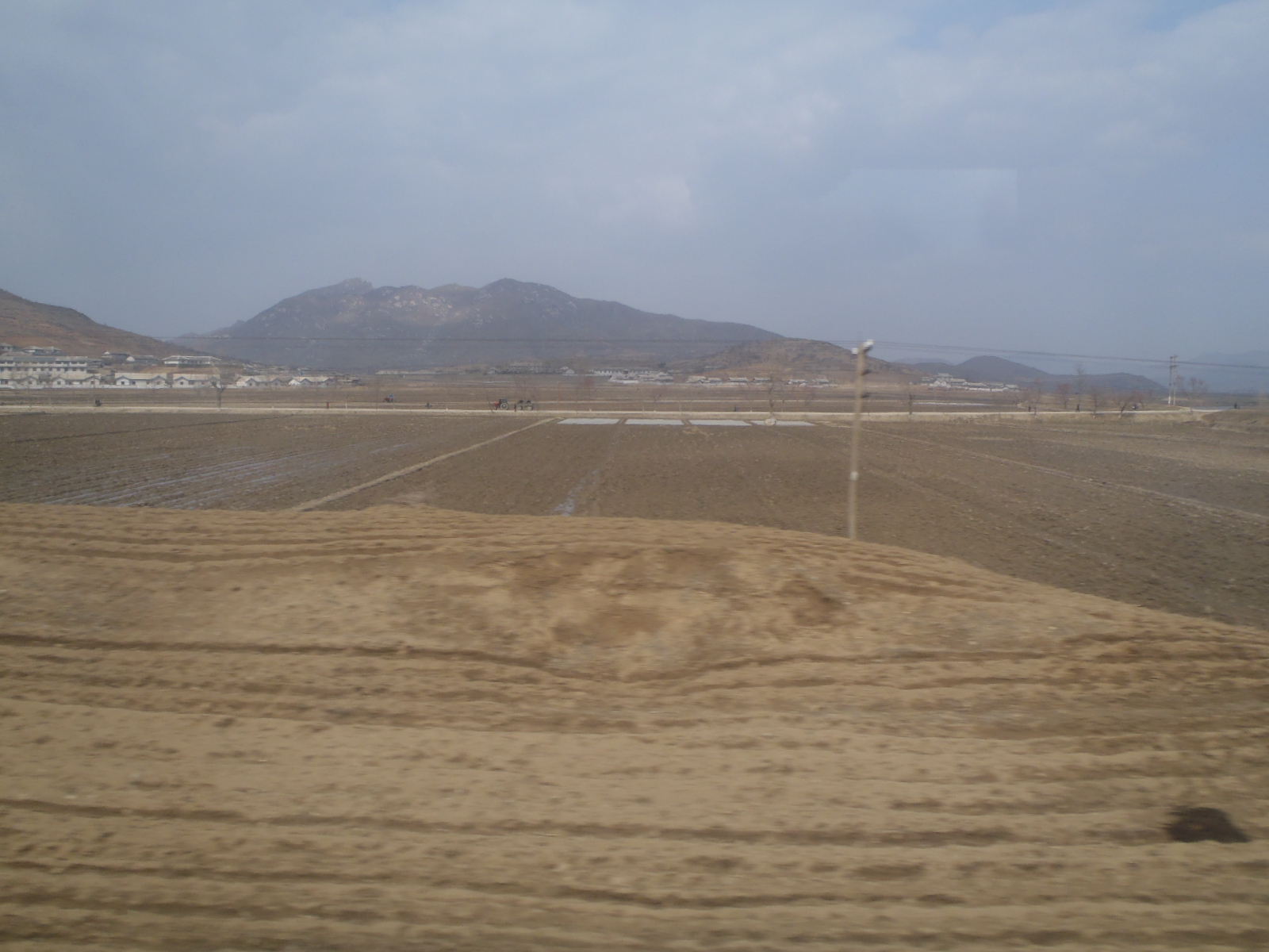
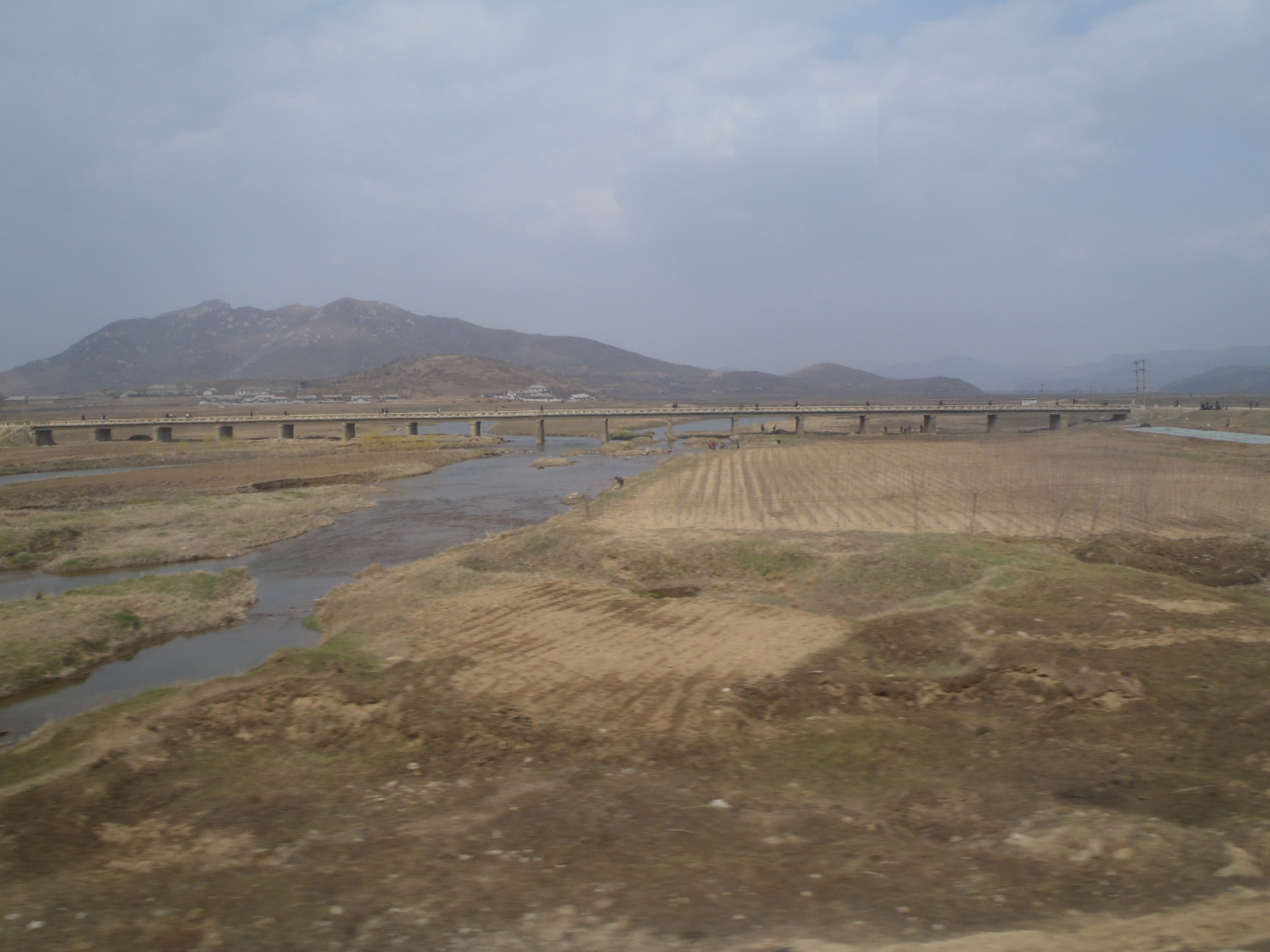
DSC12109

DSC12087

DSC12110

DSC12082

DSC14033
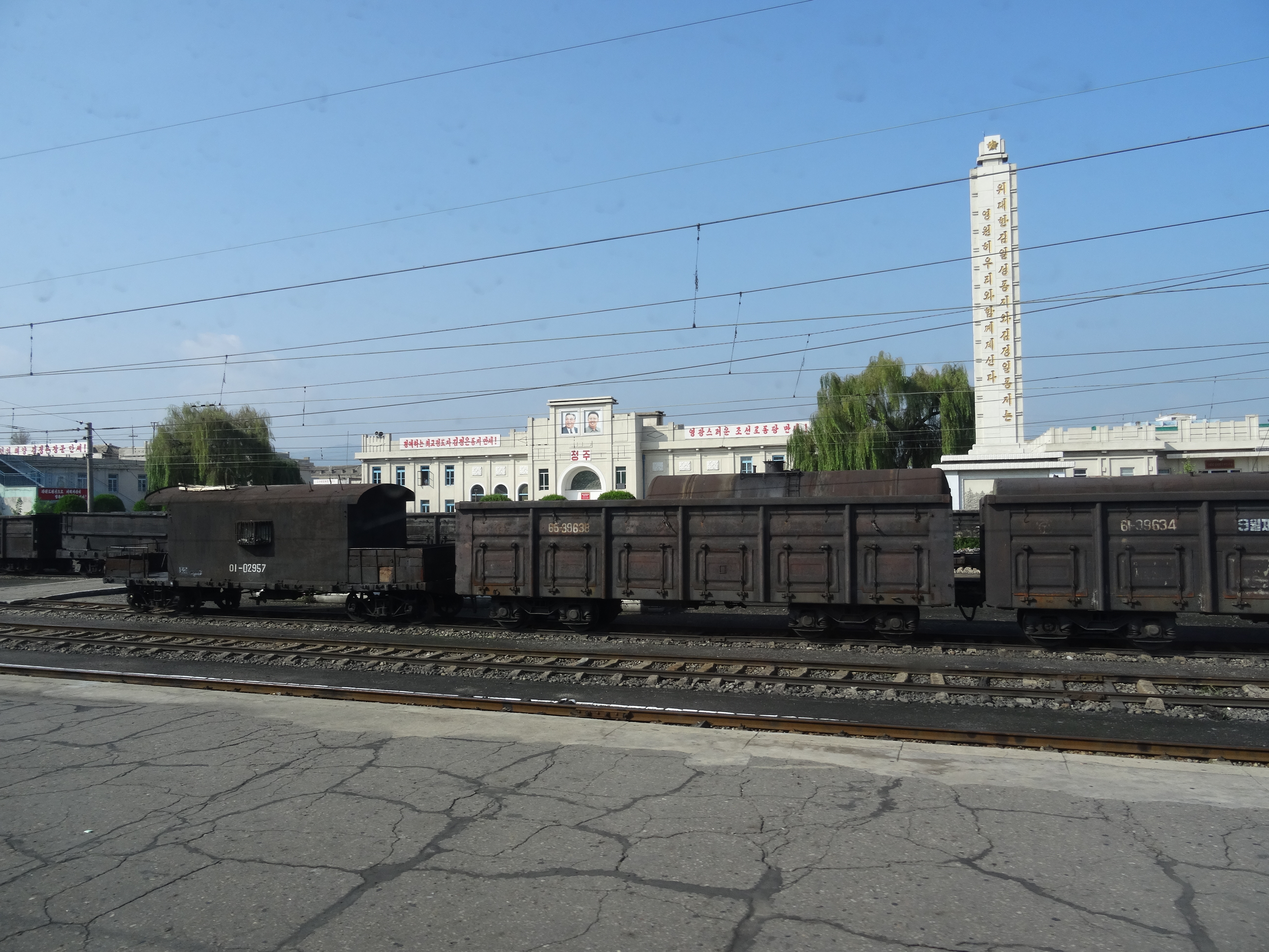
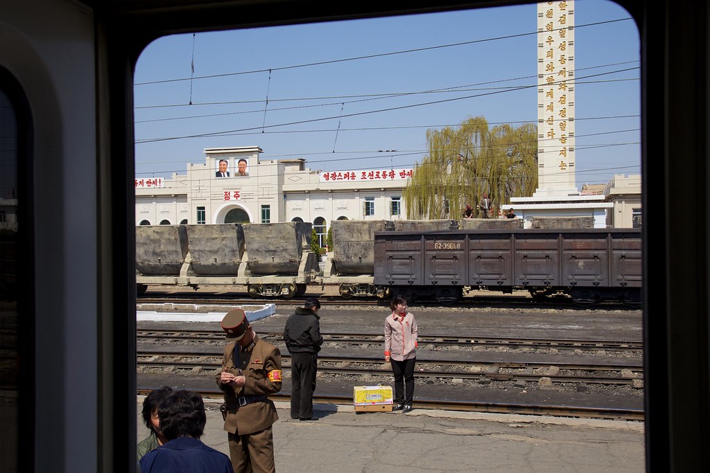
Station Chŏngju Ch'ŏngnyŏn 정주청년역
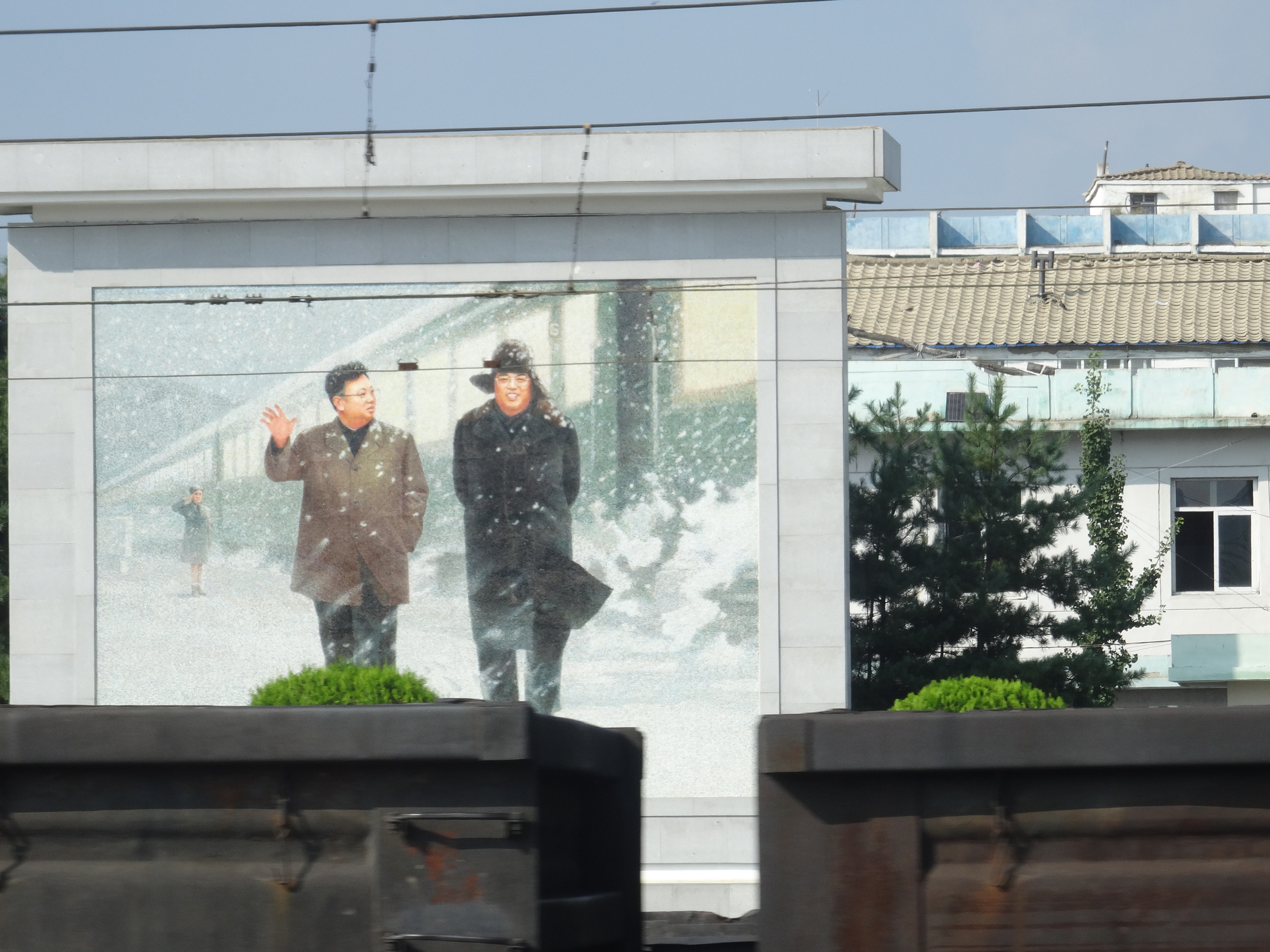
Kim Il-sung en Kim Jong-il
Corée du Nord
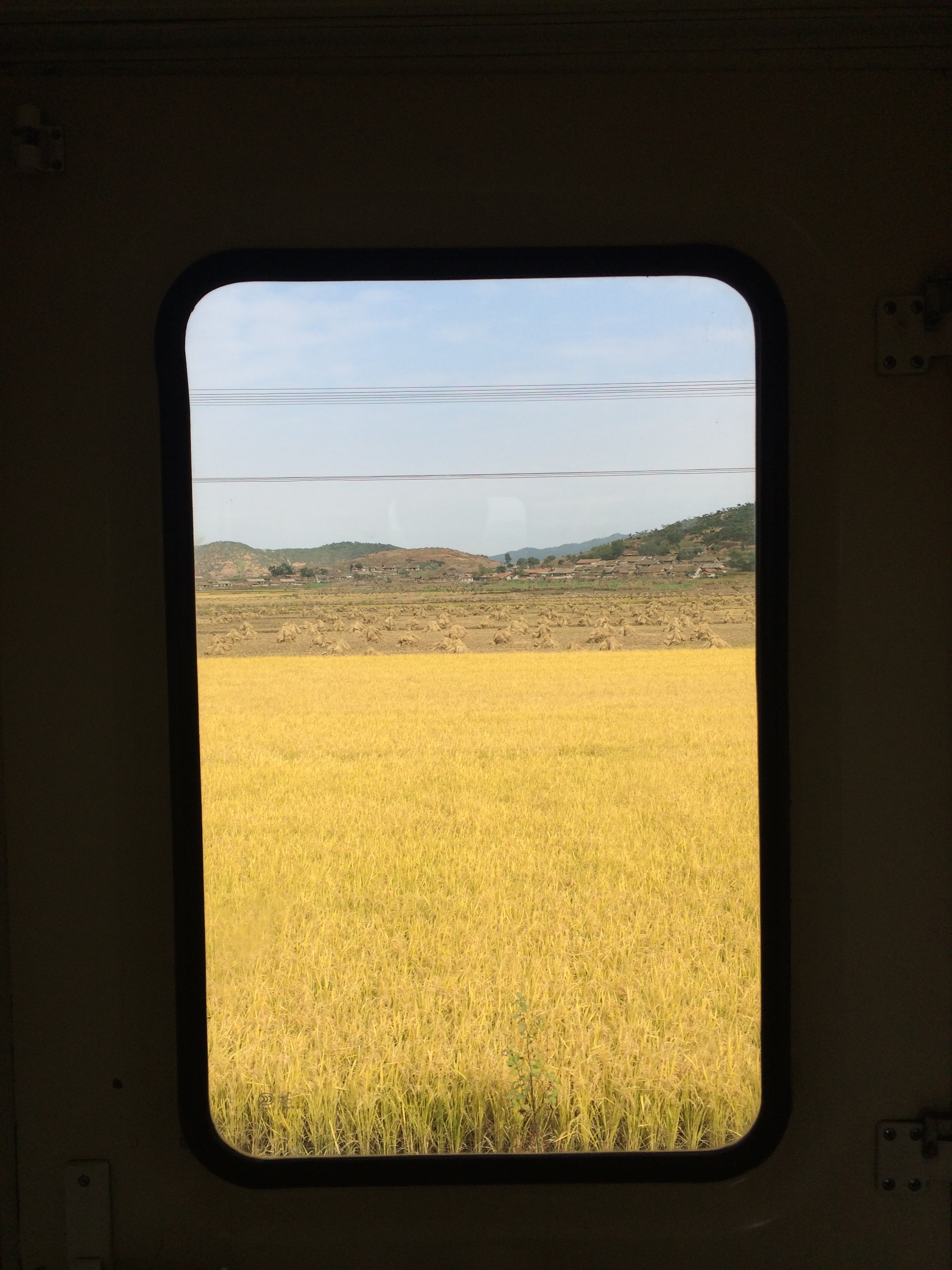
2014 Oct North Korea trip DPRK (2452)
Topographic Map of Chongju, North Pyongan, North Korea
Find elevation by address:

Places near Chongju, North Pyongan, North Korea:
Jeongju Cheongnyeon Station
Unam Station
Kusong
North Pyongan
Sinanju Cheongnyeon Station
Mundeok Station
Anju
Kaechon
Sunchŏn
Hyangsan
Hyangsan Hotel
Tokchon
Mount Myohyang
Huichon
Chagang
Recent Searches:
- Elevation of Woodland Oak Pl, Thousand Oaks, CA, USA
- Elevation of Brownsdale Rd, Renfrew, PA, USA
- Elevation of Corcoran Ln, Suffolk, VA, USA
- Elevation of Mamala II, Sariaya, Quezon, Philippines
- Elevation of Sarangdanda, Nepal
- Elevation of 7 Waterfall Way, Tomball, TX, USA
- Elevation of SW 57th Ave, Portland, OR, USA
- Elevation of Crocker Dr, Vacaville, CA, USA
- Elevation of Pu Ngaol Community Meeting Hall, HWHM+3X7, Krong Saen Monourom, Cambodia
- Elevation of Royal Ontario Museum, Queens Park, Toronto, ON M5S 2C6, Canada