Elevation of Hyangsan, North Pyongan, North Korea
Location: North Korea > North Pyongan >
Longitude: 126.198105
Latitude: 40.024016
Elevation: 130m / 427feet
Barometric Pressure: 100KPa
Elevation Map:
Satellite Map:
Related Photos:
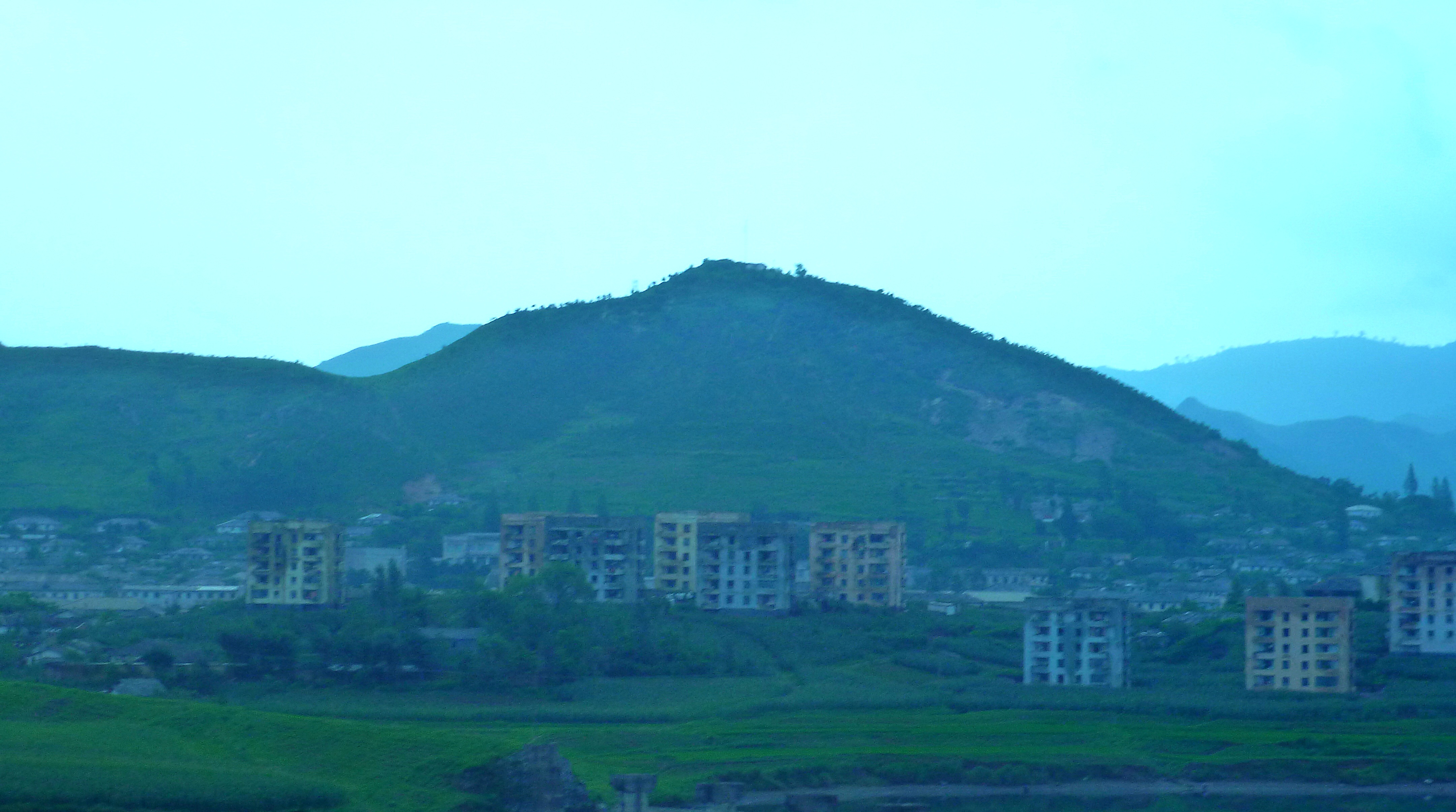
View from the back patio

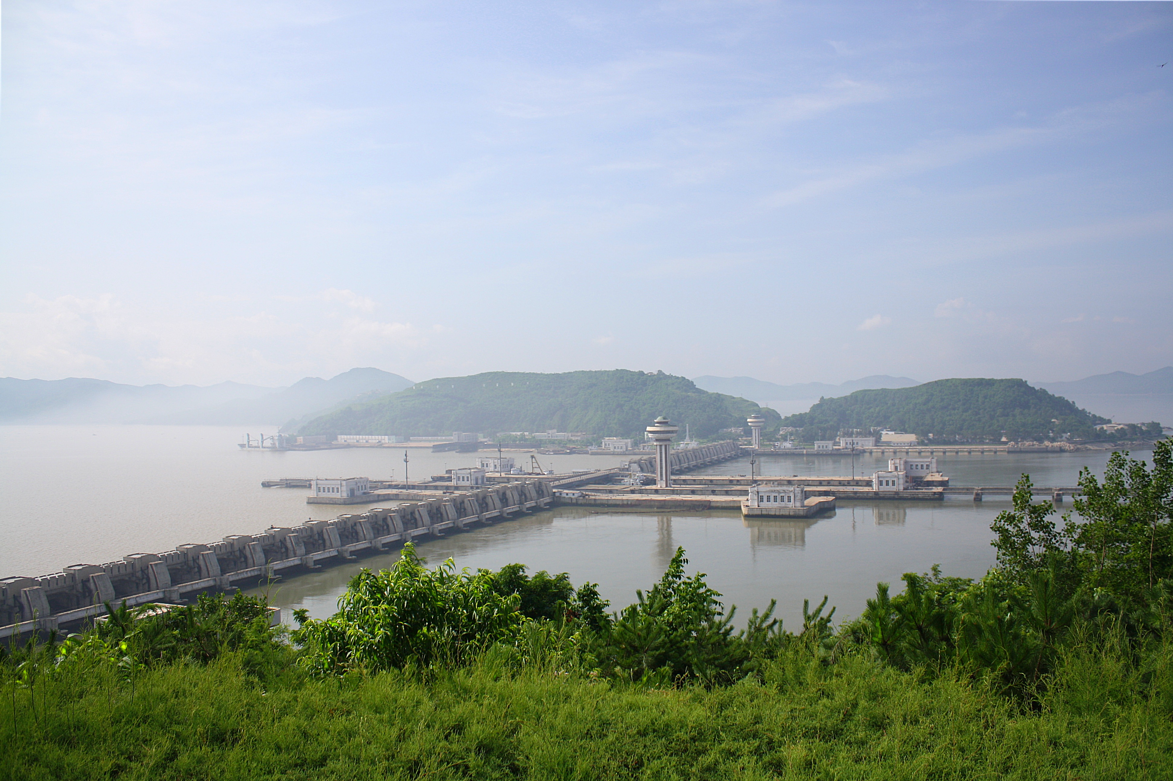
2011-08-15-20-56-11_1000002354
2011-08-11-19-53-24_1000001817
2011-08-09-19-15-35_1000001708
Hyangsan Hike
2011-08-11-13-02-58_1000001787
2011-08-14-13-53-08_1000002102
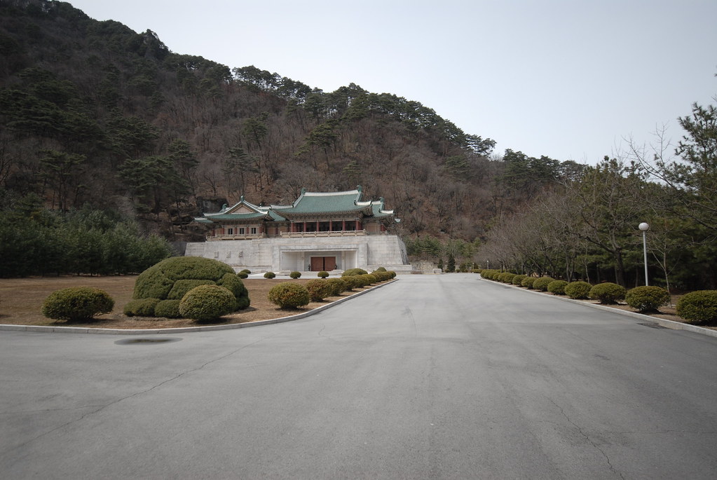
Kim Jong Il friendship exhibition
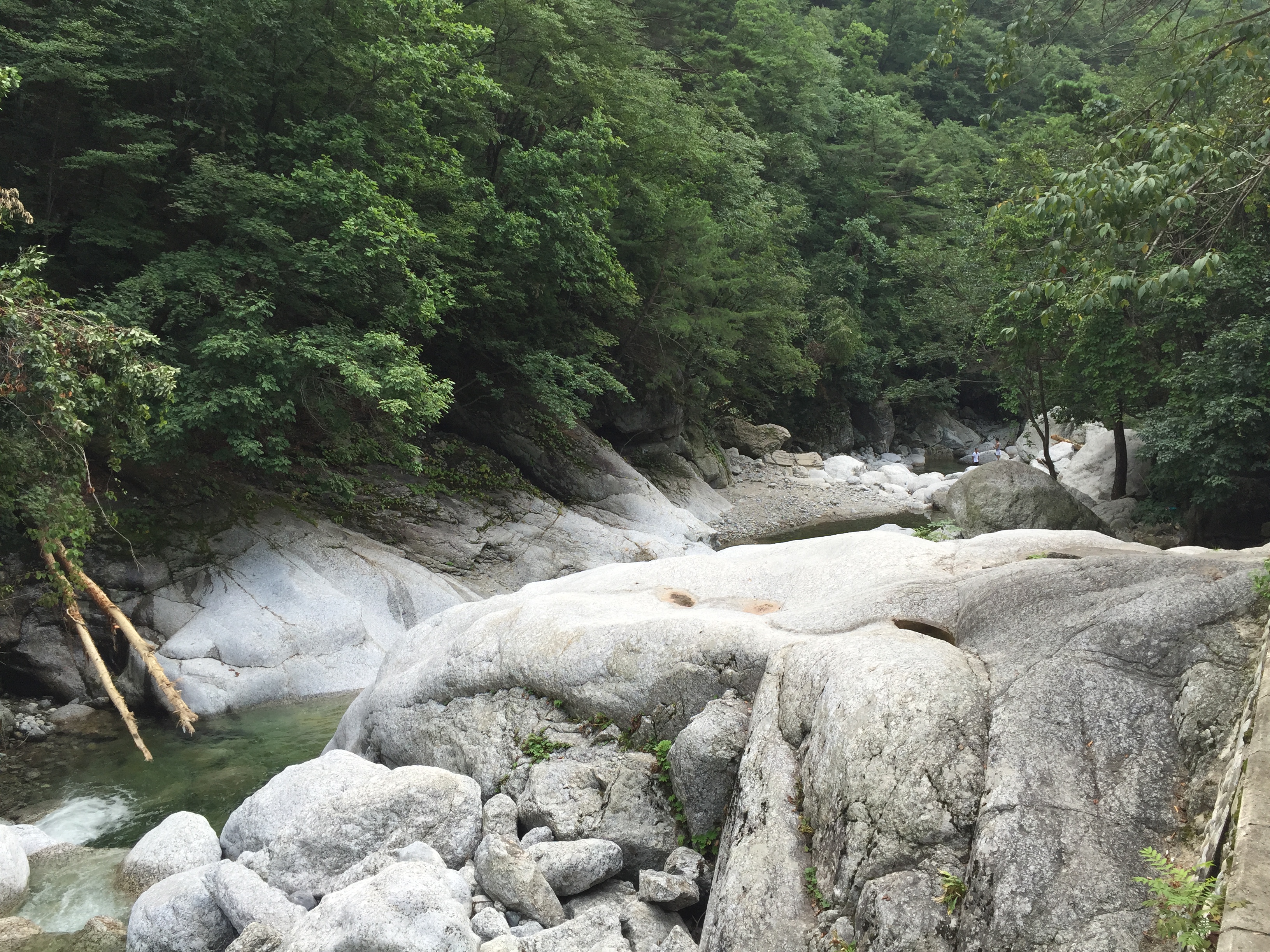
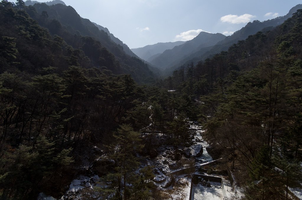
묘향산 계곡
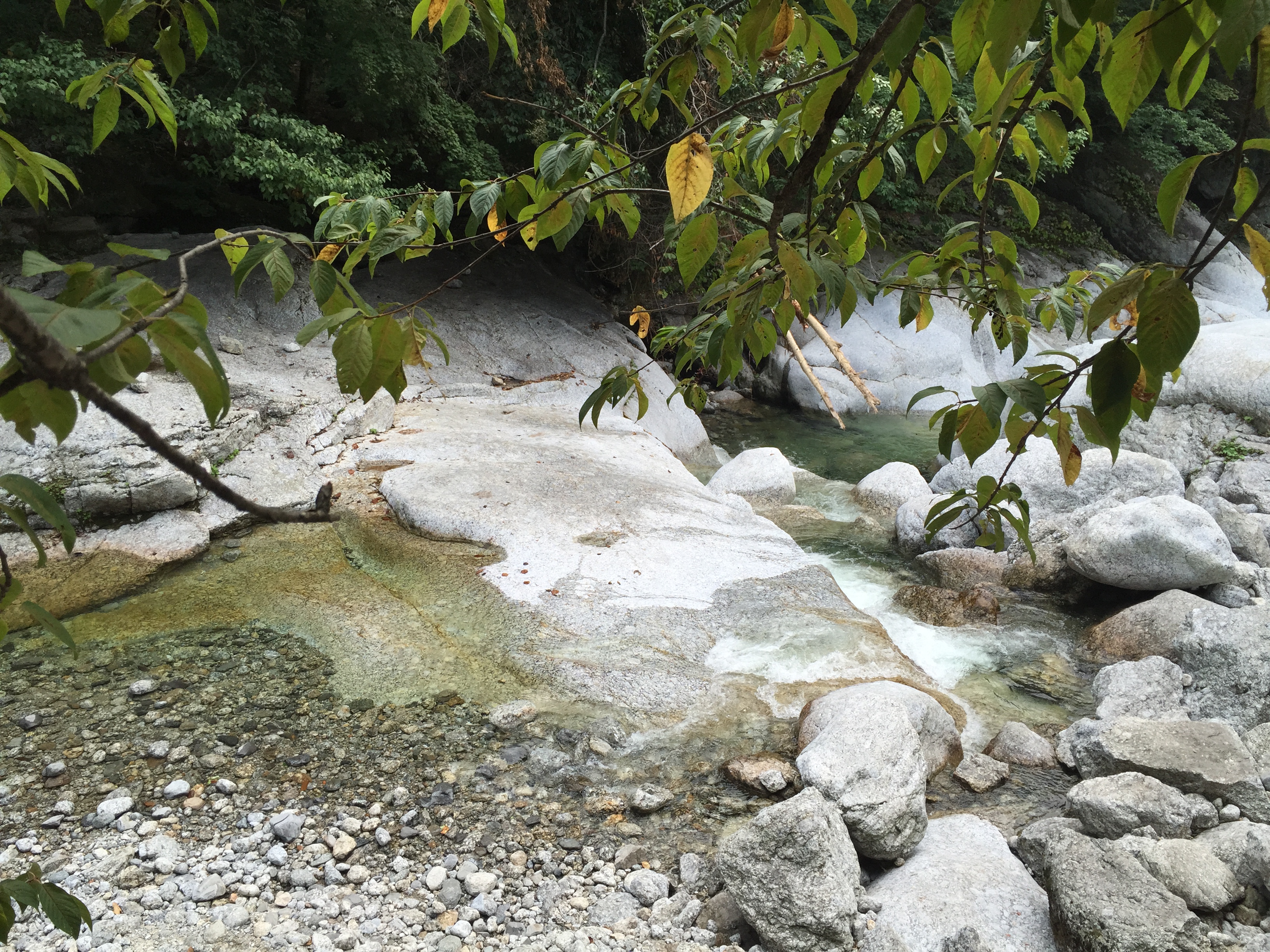
묘향산 계곡
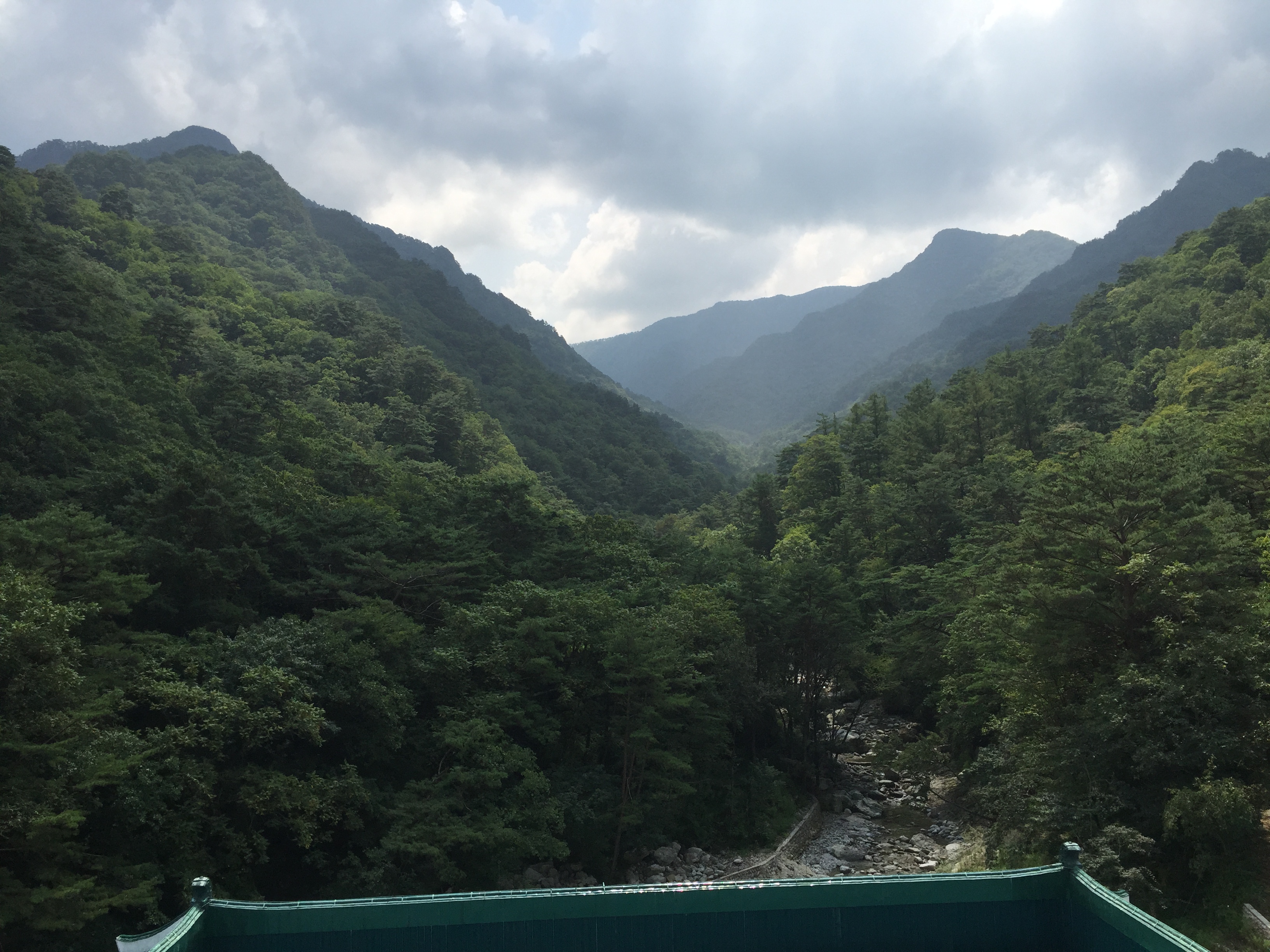
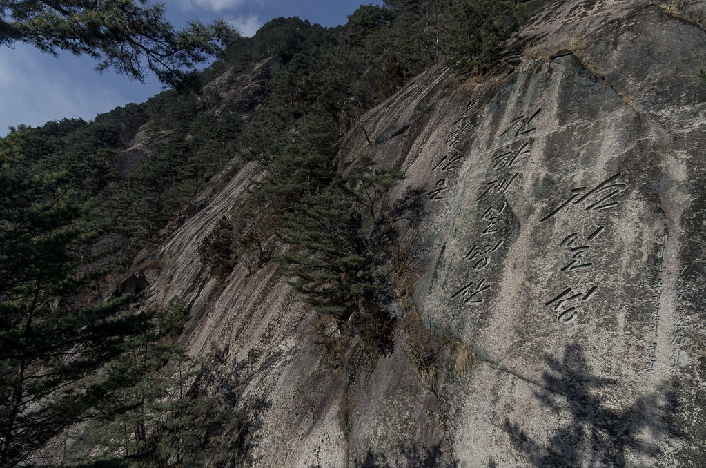
묘향산
Topographic Map of Hyangsan, North Pyongan, North Korea
Find elevation by address:

Places near Hyangsan, North Pyongan, North Korea:
Hyangsan Hotel
Mount Myohyang
Huichon
Tokchon
Kaechon
Sunchŏn
Anju
Sinanju Cheongnyeon Station
Chagang
Mundeok Station
North Pyongan
Unam Station
Kusong
Jeongju Cheongnyeon Station
Chongju
Recent Searches:
- Elevation of W Granada St, Tampa, FL, USA
- Elevation of Pykes Down, Ivybridge PL21 0BY, UK
- Elevation of Jalan Senandin, Lutong, Miri, Sarawak, Malaysia
- Elevation of Bilohirs'k
- Elevation of 30 Oak Lawn Dr, Barkhamsted, CT, USA
- Elevation of Luther Road, Luther Rd, Auburn, CA, USA
- Elevation of Unnamed Road, Respublika Severnaya Osetiya — Alaniya, Russia
- Elevation of Verkhny Fiagdon, North Ossetia–Alania Republic, Russia
- Elevation of F. Viola Hiway, San Rafael, Bulacan, Philippines
- Elevation of Herbage Dr, Gulfport, MS, USA