Elevation of U.S., US-, Rawlins, WY, USA
Location: United States > Wyoming > Carbon County >
Longitude: -107.42742
Latitude: 42.1368199
Elevation: 1989m / 6526feet
Barometric Pressure: 80KPa
Elevation Map:
Satellite Map:
Related Photos:

Carbon - Wyoming Landscape

Bairoil - Salty Colour Difference

Carbon - Pronghorn Herd

Bairoil - Salt Creek

Moto West 2012

Bairoil - Salty Waters

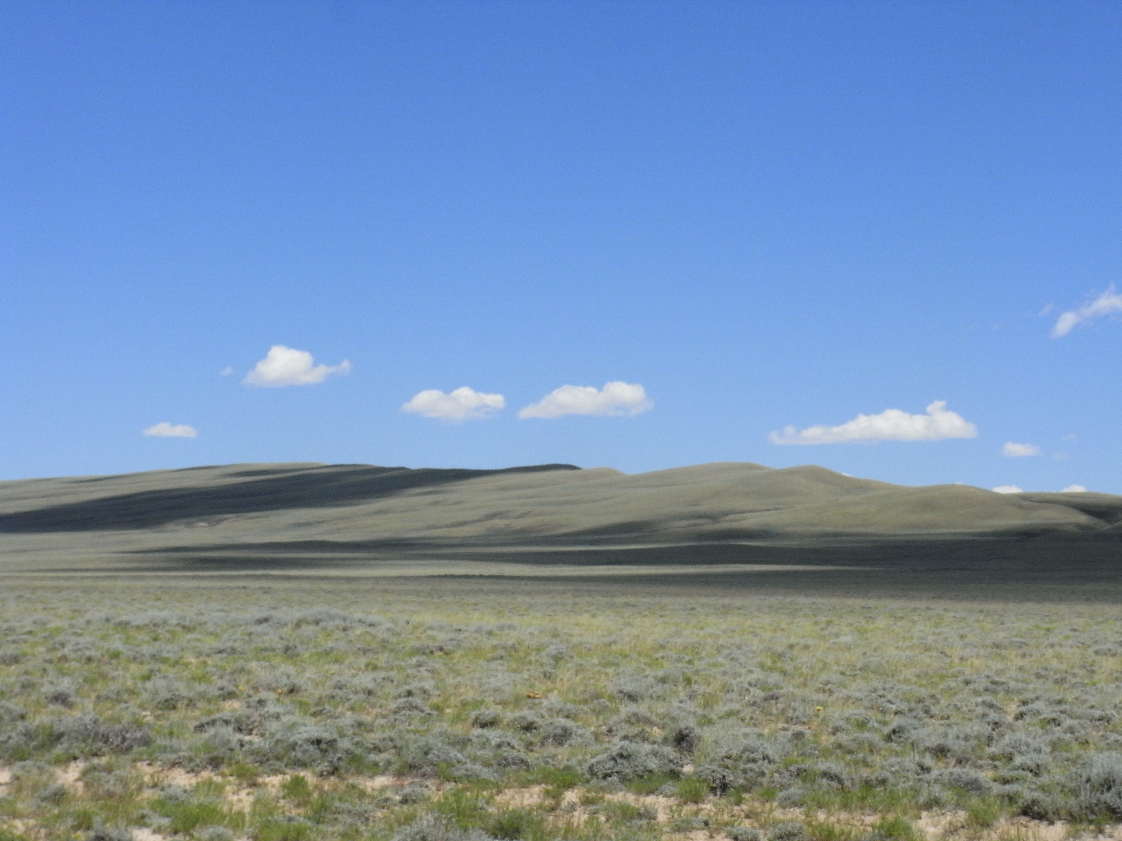
Wyoming Plains
Riverton to Laramie
There's a lot more to...
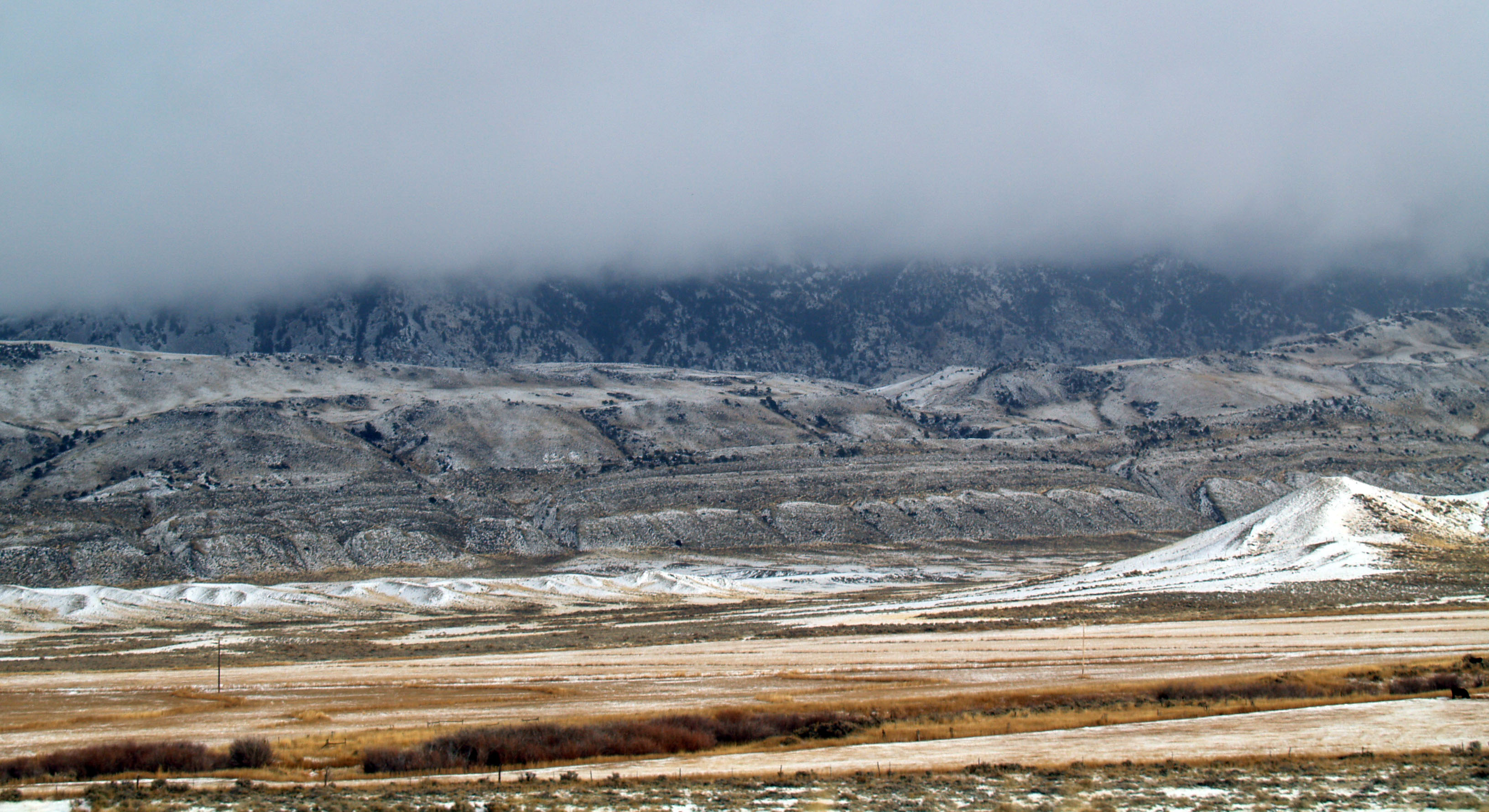
Clouds over the basin
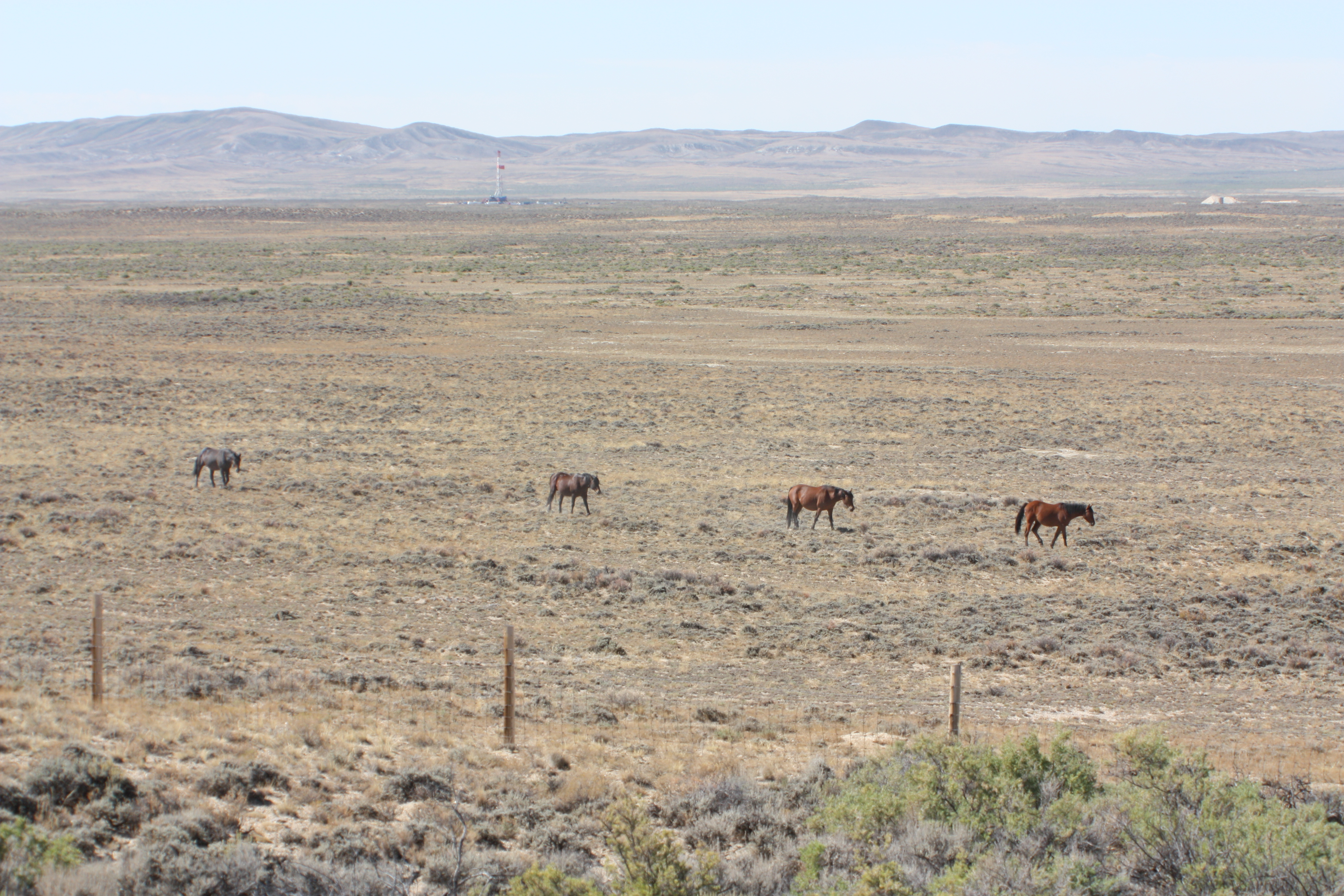
Feral horses
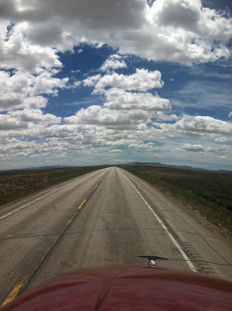
X-ing USA
Topographic Map of U.S., US-, Rawlins, WY, USA
Find elevation by address:

Places near U.S., US-, Rawlins, WY, USA:
1300 Us-287
248 La Paloma Dr
Rawlins
221 3rd St
Baymont By Wyndham Rawlins
Rawlins Koa Journey
Chokecherry Knob
Creston
Miller Hill
Continental Divide
Continental Divide Trail
Wamsutter
Carbon County
Divide Peak
Jack Creek Campground
Sharp Hill
Green Ridge
Tipton
Singer Peak
North Flat Top
Recent Searches:
- Elevation of Estates Loop, Priest River, ID, USA
- Elevation of Woodland Oak Pl, Thousand Oaks, CA, USA
- Elevation of Brownsdale Rd, Renfrew, PA, USA
- Elevation of Corcoran Ln, Suffolk, VA, USA
- Elevation of Mamala II, Sariaya, Quezon, Philippines
- Elevation of Sarangdanda, Nepal
- Elevation of 7 Waterfall Way, Tomball, TX, USA
- Elevation of SW 57th Ave, Portland, OR, USA
- Elevation of Crocker Dr, Vacaville, CA, USA
- Elevation of Pu Ngaol Community Meeting Hall, HWHM+3X7, Krong Saen Monourom, Cambodia