Elevation of Jack Creek Campground, Wyoming, United States
Location: United States > Wyoming > Carbon County >
Longitude: -107.12002
Latitude: 41.2825294
Elevation: 2564m / 8412feet
Barometric Pressure: 74KPa
Elevation Map:
Satellite Map:
Related Photos:
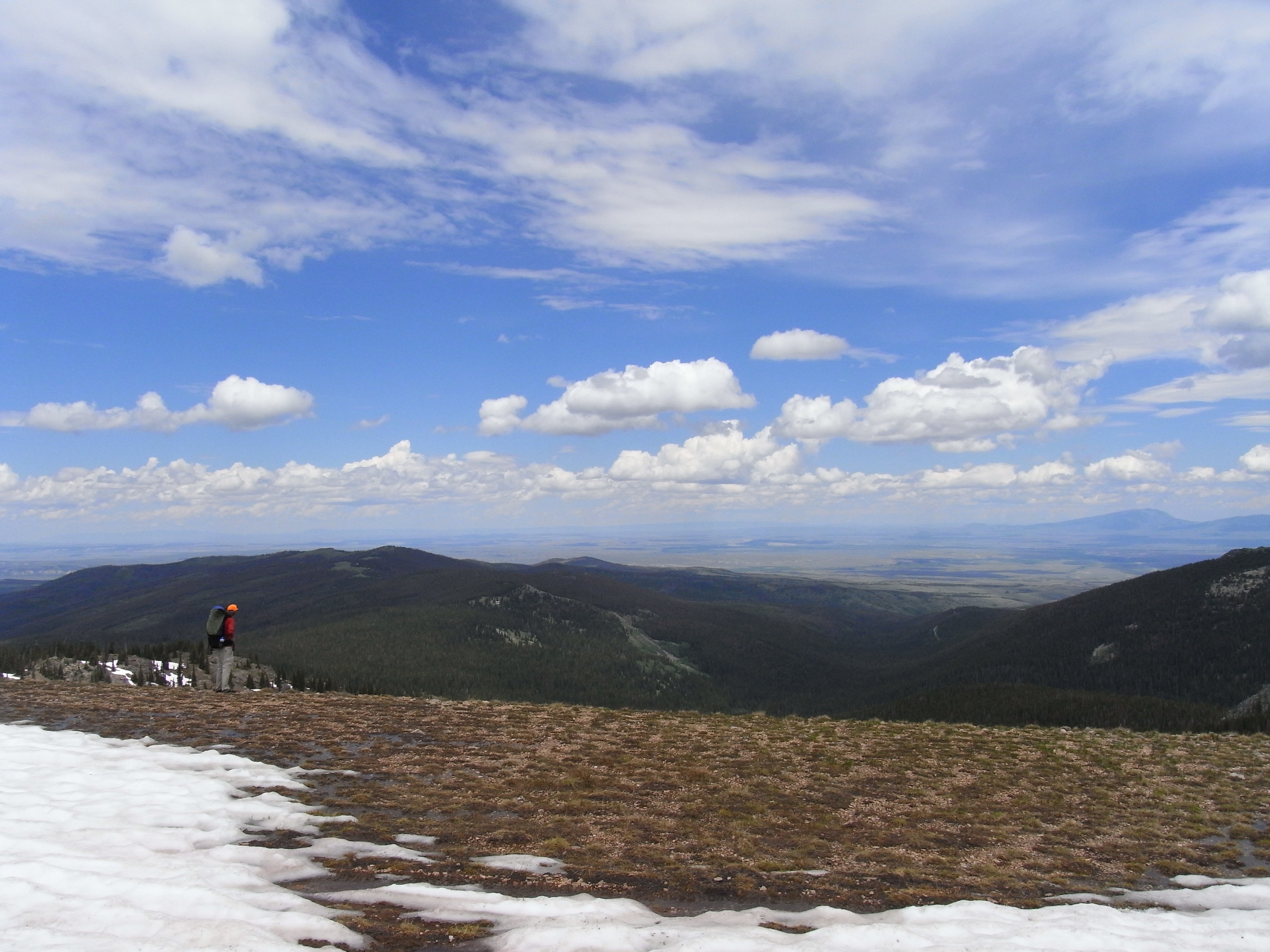
Continental Divide Views
Topographic Map of Jack Creek Campground, Wyoming, United States
Find elevation by address:

Places near Jack Creek Campground, Wyoming, United States:
Divide Peak
Singer Peak
Sharp Hill
Vulcan Mountain
Quartzite Peak
Lost Creek Campground
Green Ridge
Wyoming 70
Green Mountain
Battle Mountain
Twin Buttes
Elkhorn Mountain
Piney Mountain
Miller Hill
The Lodge And Spa At Three Forks Ranch
Shield Mountain
West Gibraltar Peak
Carbon County
Circle Ridge
Columbus Mountain
Recent Searches:
- Elevation of Corso Fratelli Cairoli, 35, Macerata MC, Italy
- Elevation of Tallevast Rd, Sarasota, FL, USA
- Elevation of 4th St E, Sonoma, CA, USA
- Elevation of Black Hollow Rd, Pennsdale, PA, USA
- Elevation of Oakland Ave, Williamsport, PA, USA
- Elevation of Pedrógão Grande, Portugal
- Elevation of Klee Dr, Martinsburg, WV, USA
- Elevation of Via Roma, Pieranica CR, Italy
- Elevation of Tavkvetili Mountain, Georgia
- Elevation of Hartfords Bluff Cir, Mt Pleasant, SC, USA