Elevation of Divide Peak, Wyoming, USA
Location: United States > Wyoming > Carbon County >
Longitude: -107.17255
Latitude: 41.296906
Elevation: 2733m / 8967feet
Barometric Pressure: 73KPa
Elevation Map:
Satellite Map:
Related Photos:
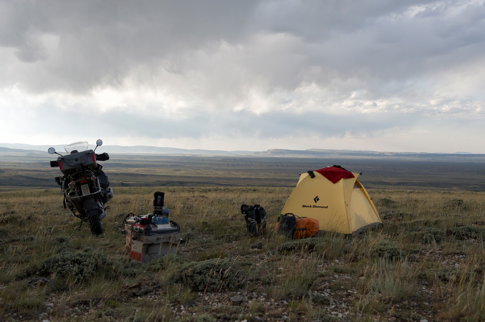
Camp. View is 15 miles.
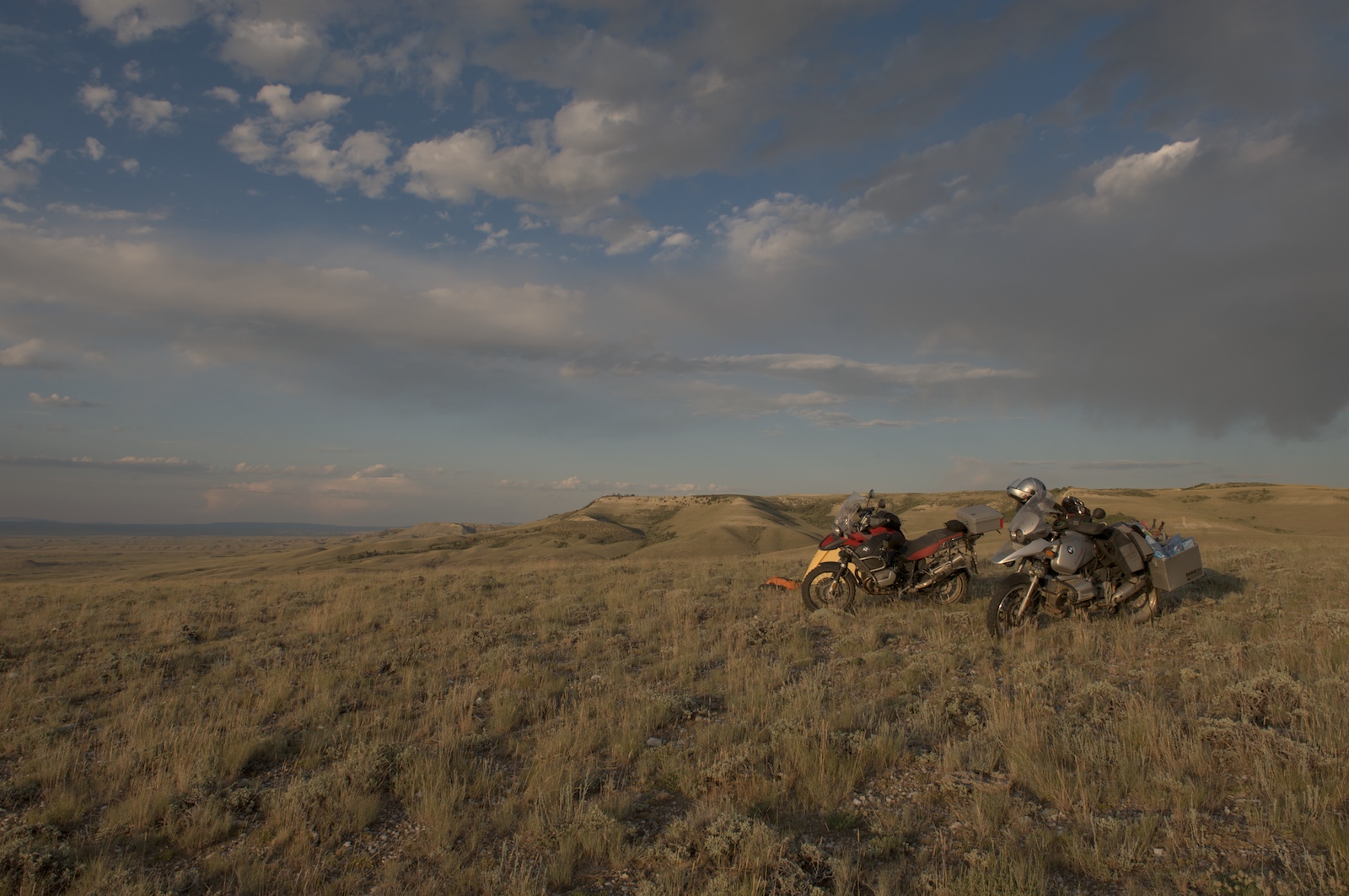
Away from the road, we camp.
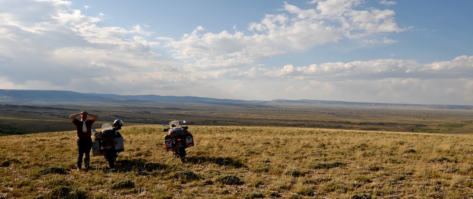
Stop here.
Deep Gulch
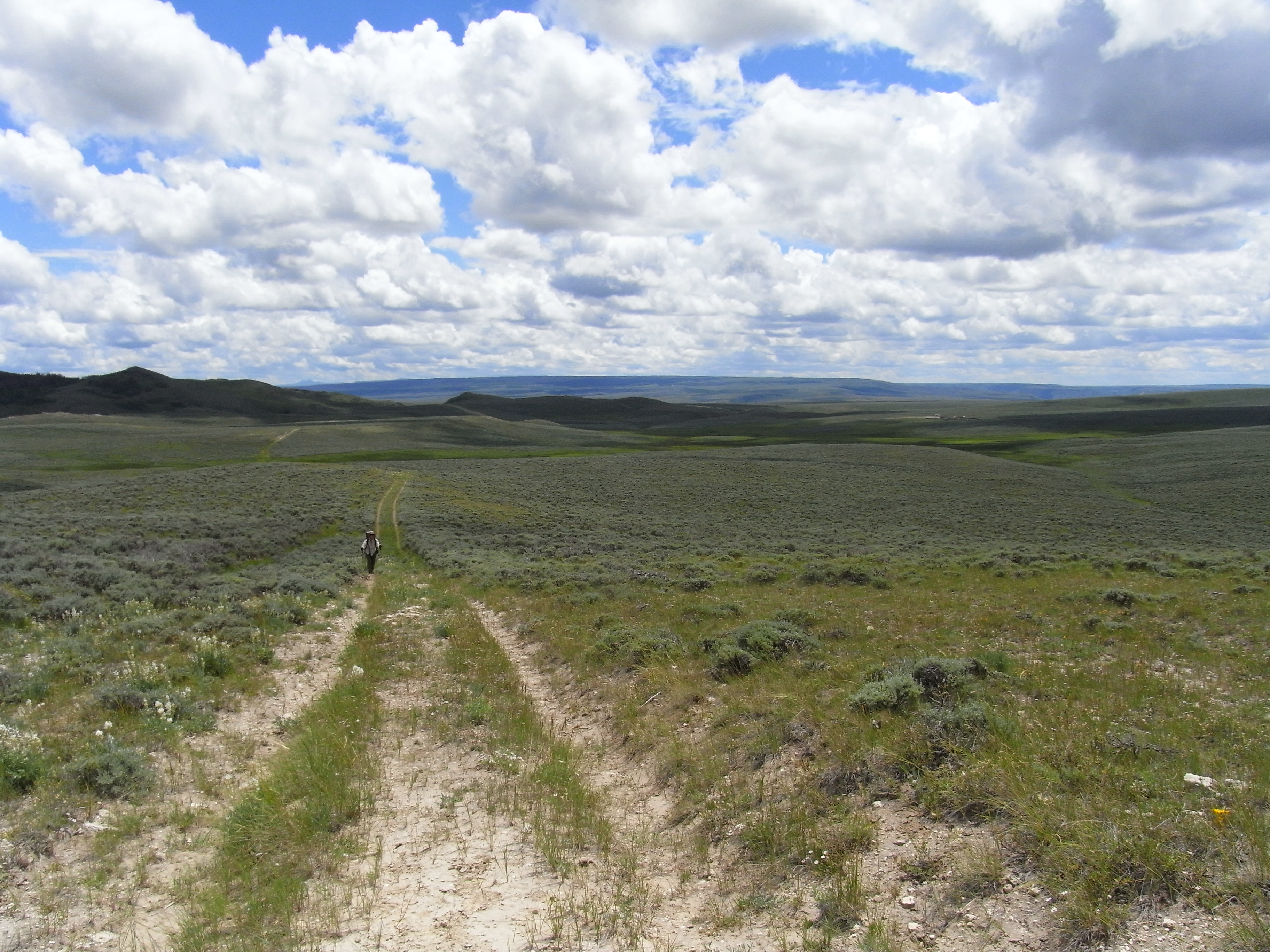
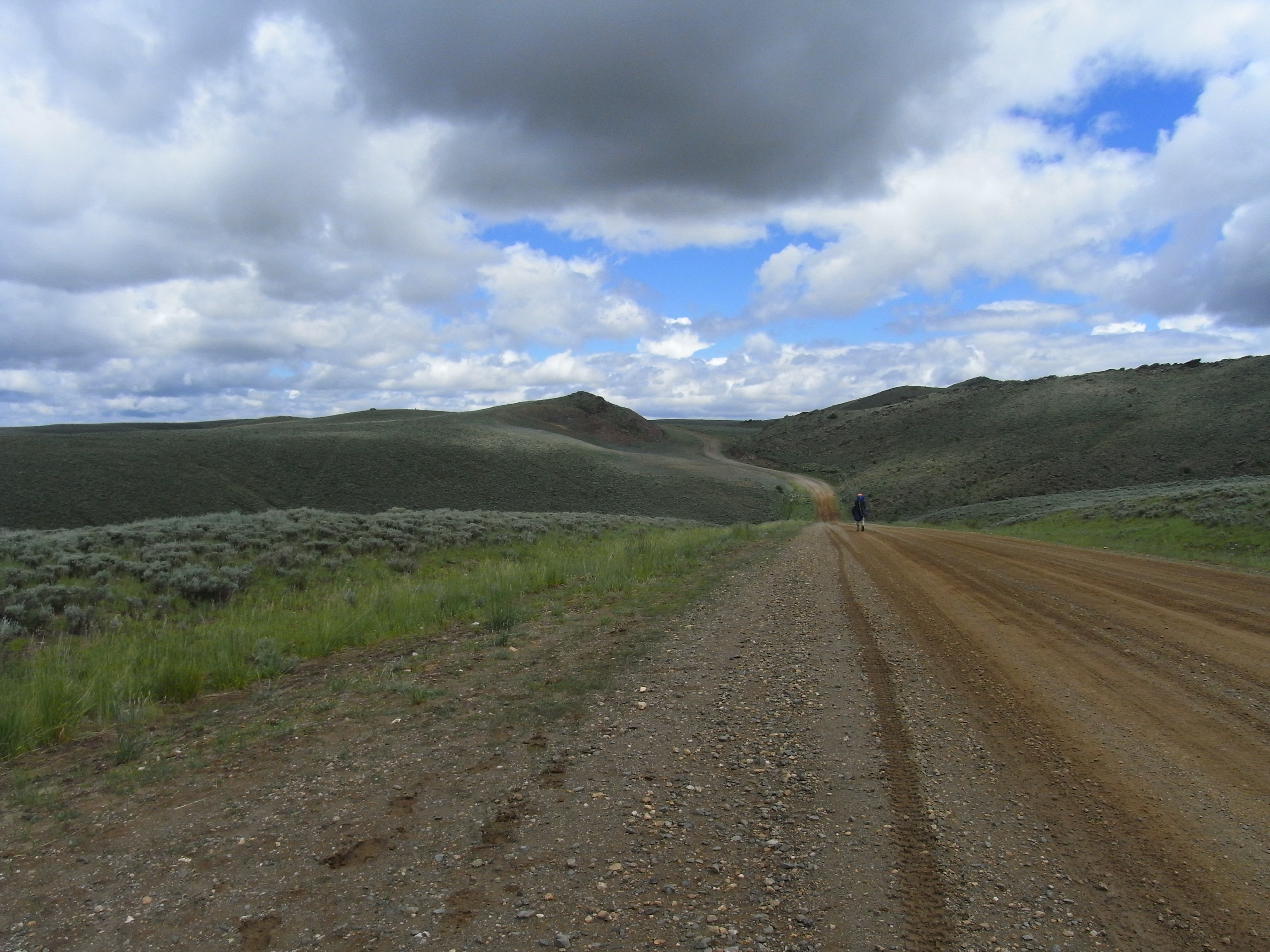
Prairie Road
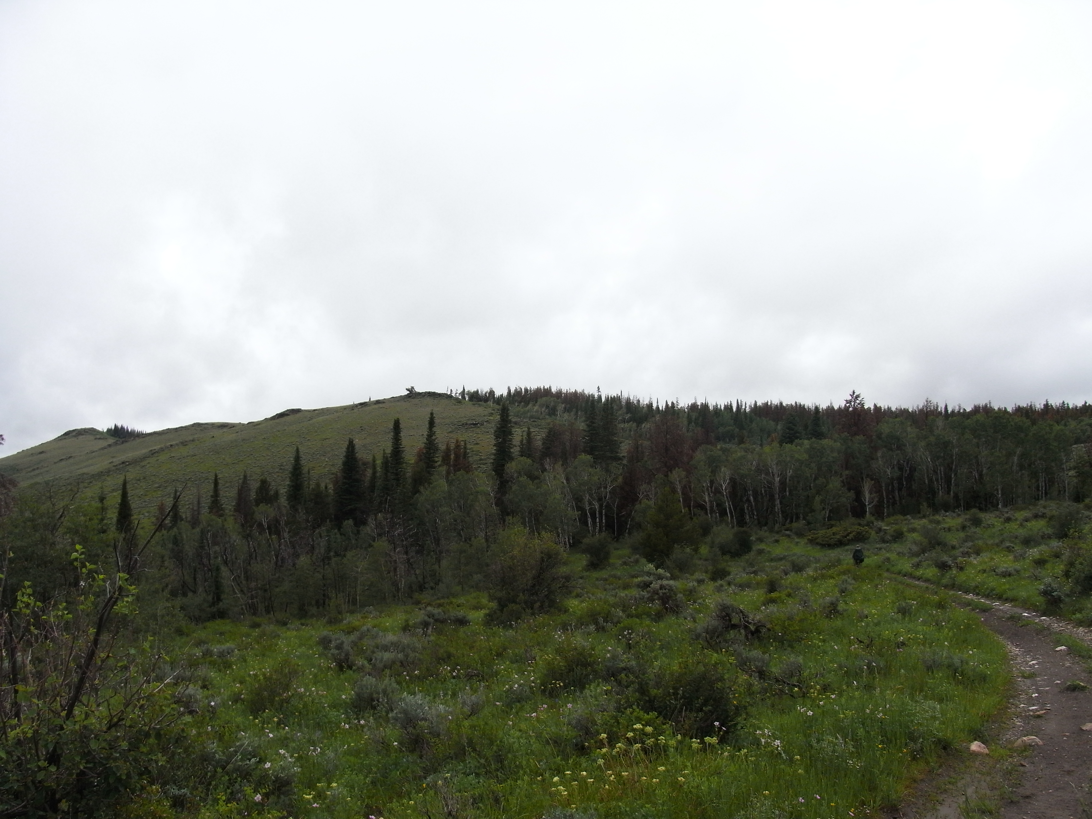
Dappled Divide
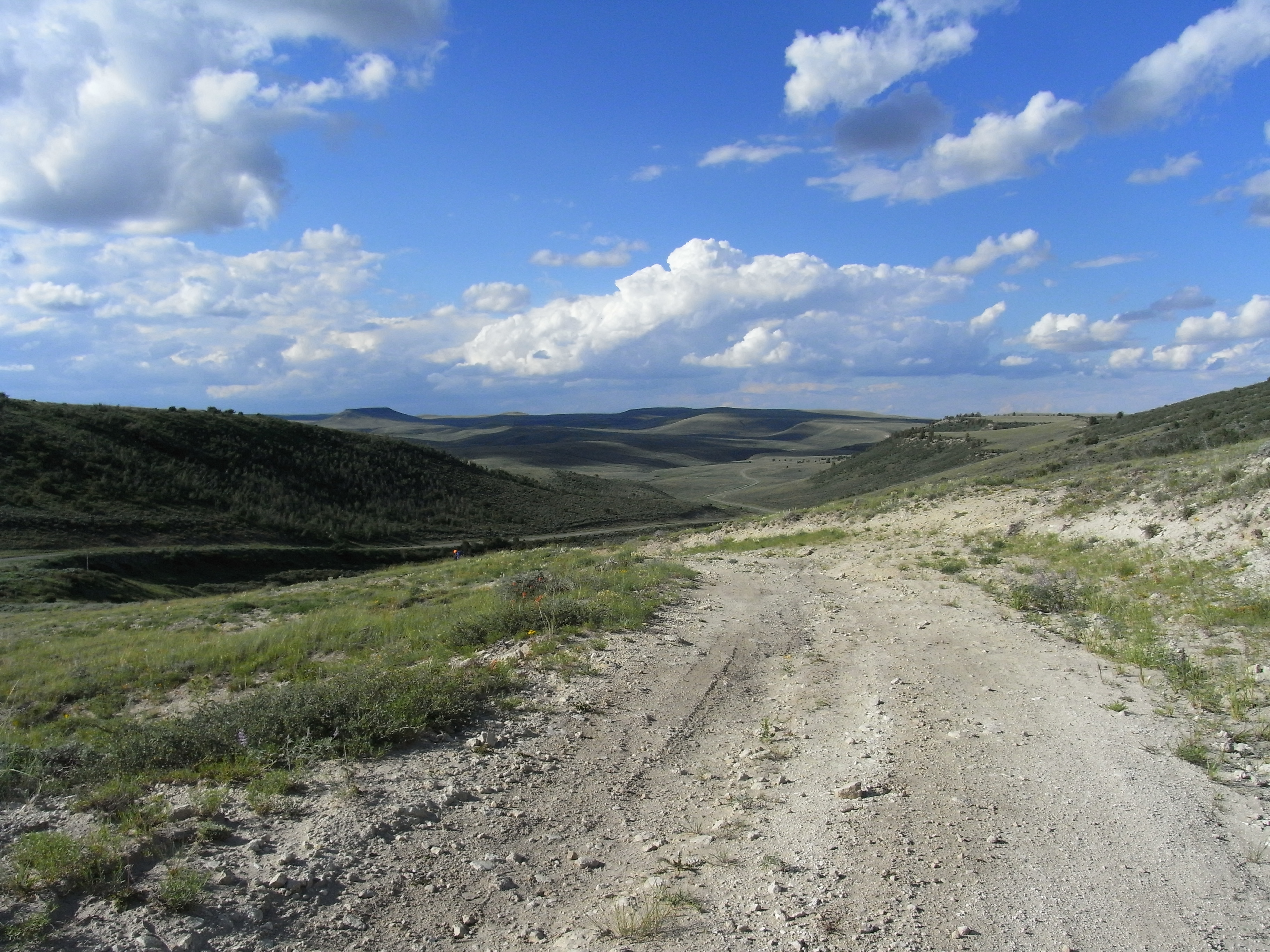
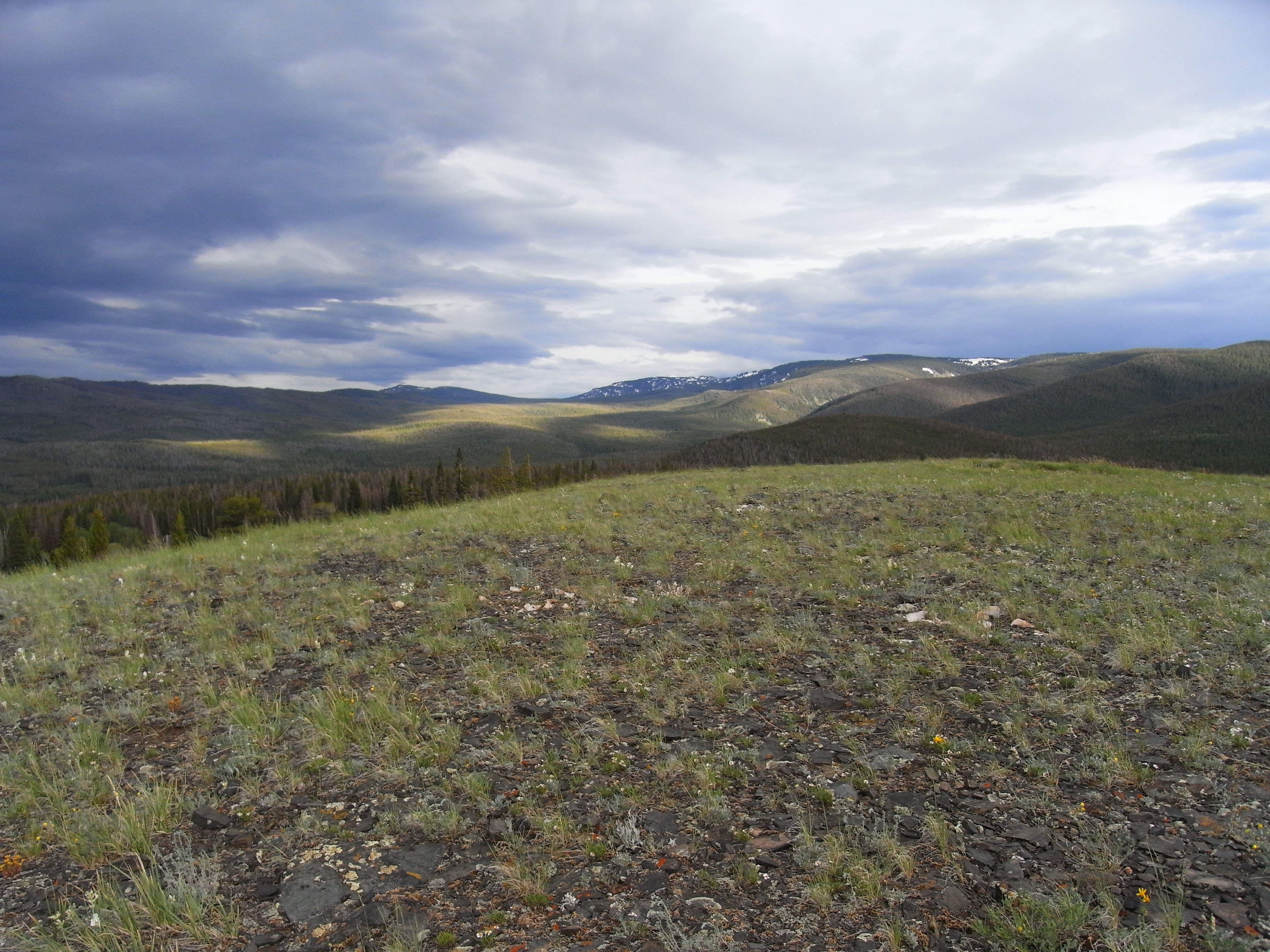
Descent to the Plains
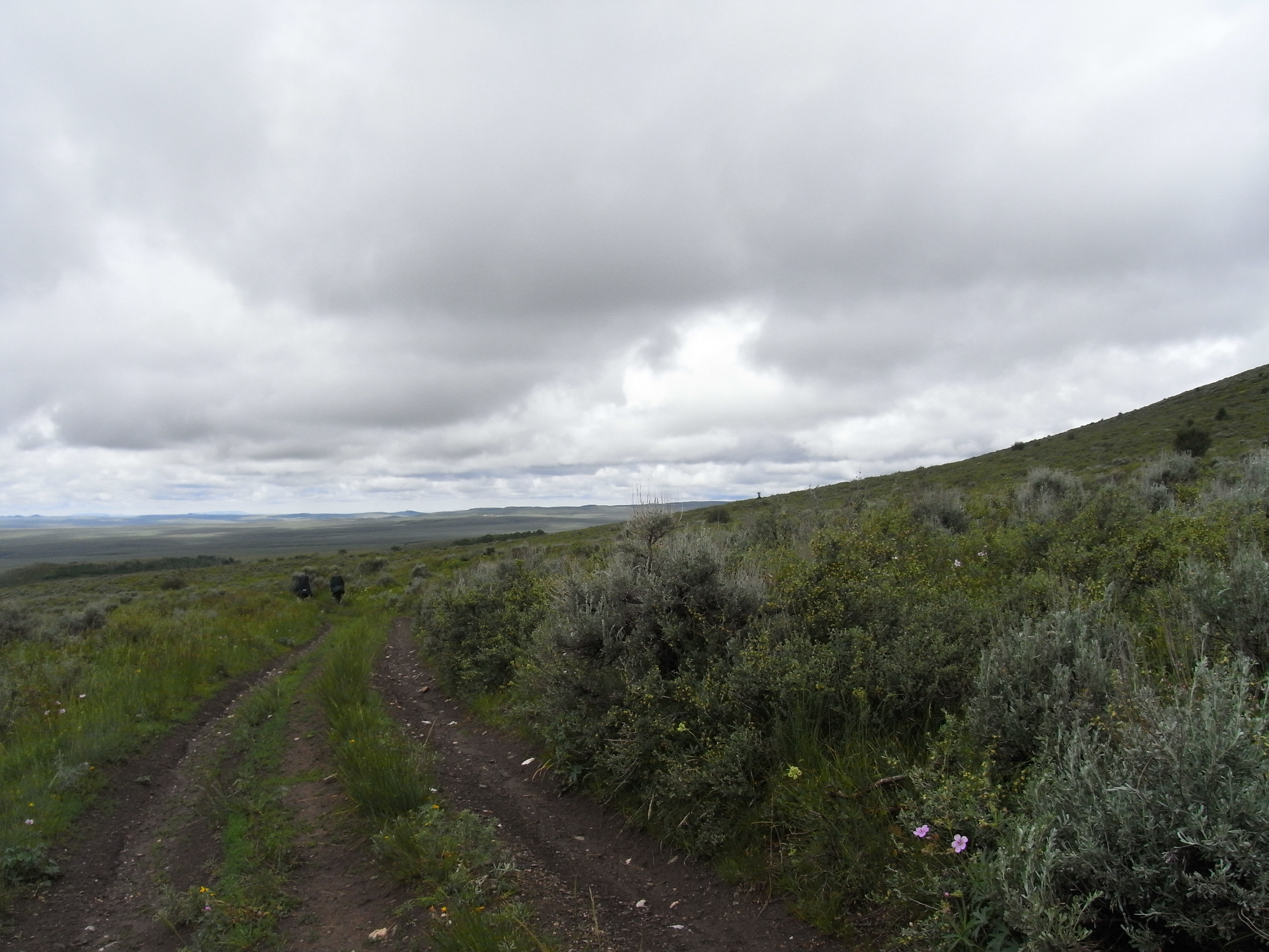
Wet Divide
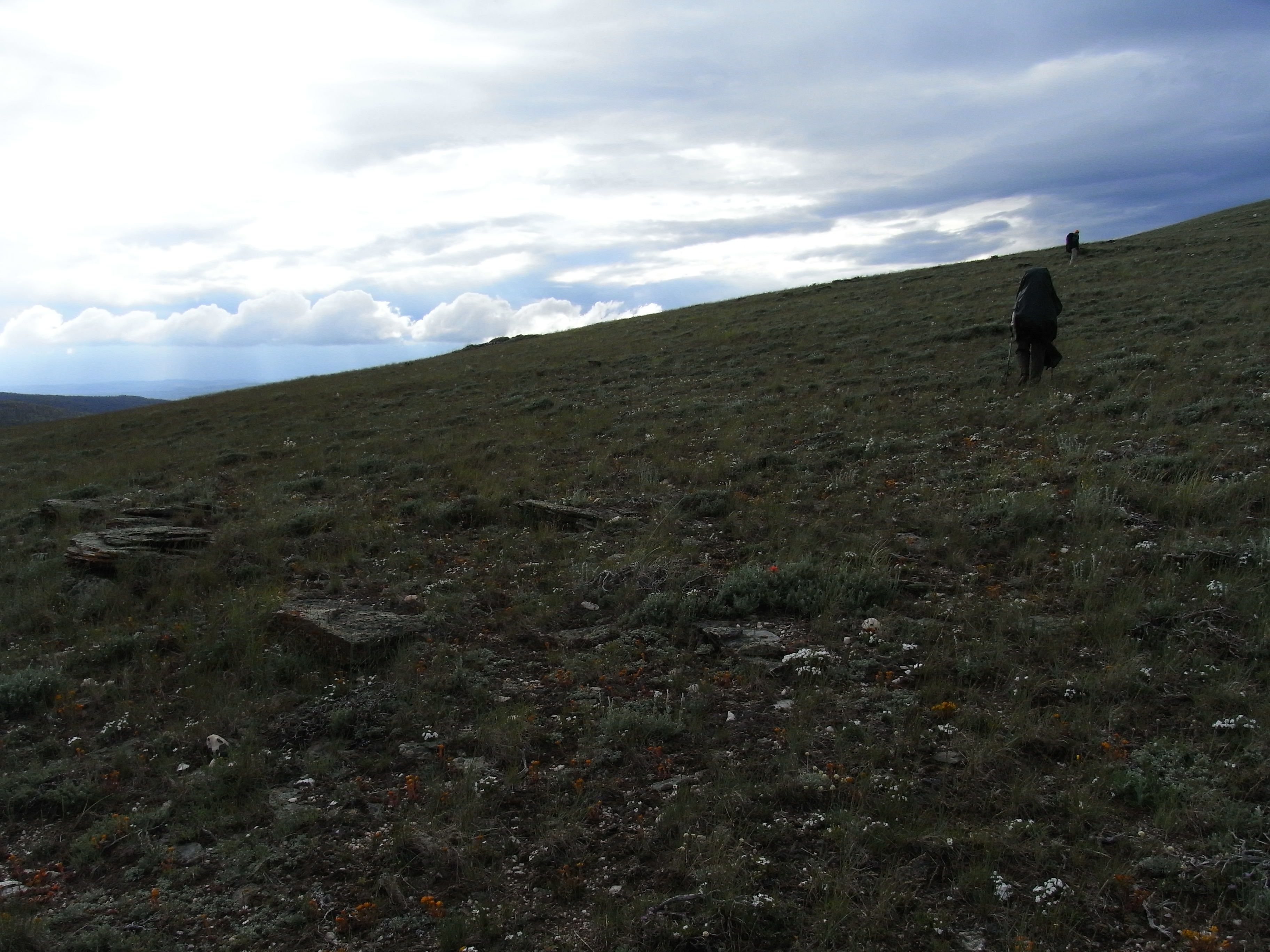
Magical Sky
Looking Back
Topographic Map of Divide Peak, Wyoming, USA
Find elevation by address:

Places near Divide Peak, Wyoming, USA:
Jack Creek Campground
Singer Peak
Sharp Hill
Green Ridge
Quartzite Peak
Lost Creek Campground
Vulcan Mountain
Wyoming 70
Battle Mountain
Green Mountain
Miller Hill
Twin Buttes
The Lodge And Spa At Three Forks Ranch
Piney Mountain
Continental Divide Trail
Elkhorn Mountain
West Gibraltar Peak
Chokecherry Knob
Savery
Shield Mountain
Recent Searches:
- Elevation of Corso Fratelli Cairoli, 35, Macerata MC, Italy
- Elevation of Tallevast Rd, Sarasota, FL, USA
- Elevation of 4th St E, Sonoma, CA, USA
- Elevation of Black Hollow Rd, Pennsdale, PA, USA
- Elevation of Oakland Ave, Williamsport, PA, USA
- Elevation of Pedrógão Grande, Portugal
- Elevation of Klee Dr, Martinsburg, WV, USA
- Elevation of Via Roma, Pieranica CR, Italy
- Elevation of Tavkvetili Mountain, Georgia
- Elevation of Hartfords Bluff Cir, Mt Pleasant, SC, USA