Elevation of Continental Divide Trail, United States
Longitude: -107.48882
Latitude: 41.4754056
Elevation: 2183m / 7162feet
Barometric Pressure: 78KPa
Elevation Map:
Satellite Map:
Related Photos:

Shepherd Digs

Dirt and Sage

All Photos-730

#sunset #skyline #android #Wyoming
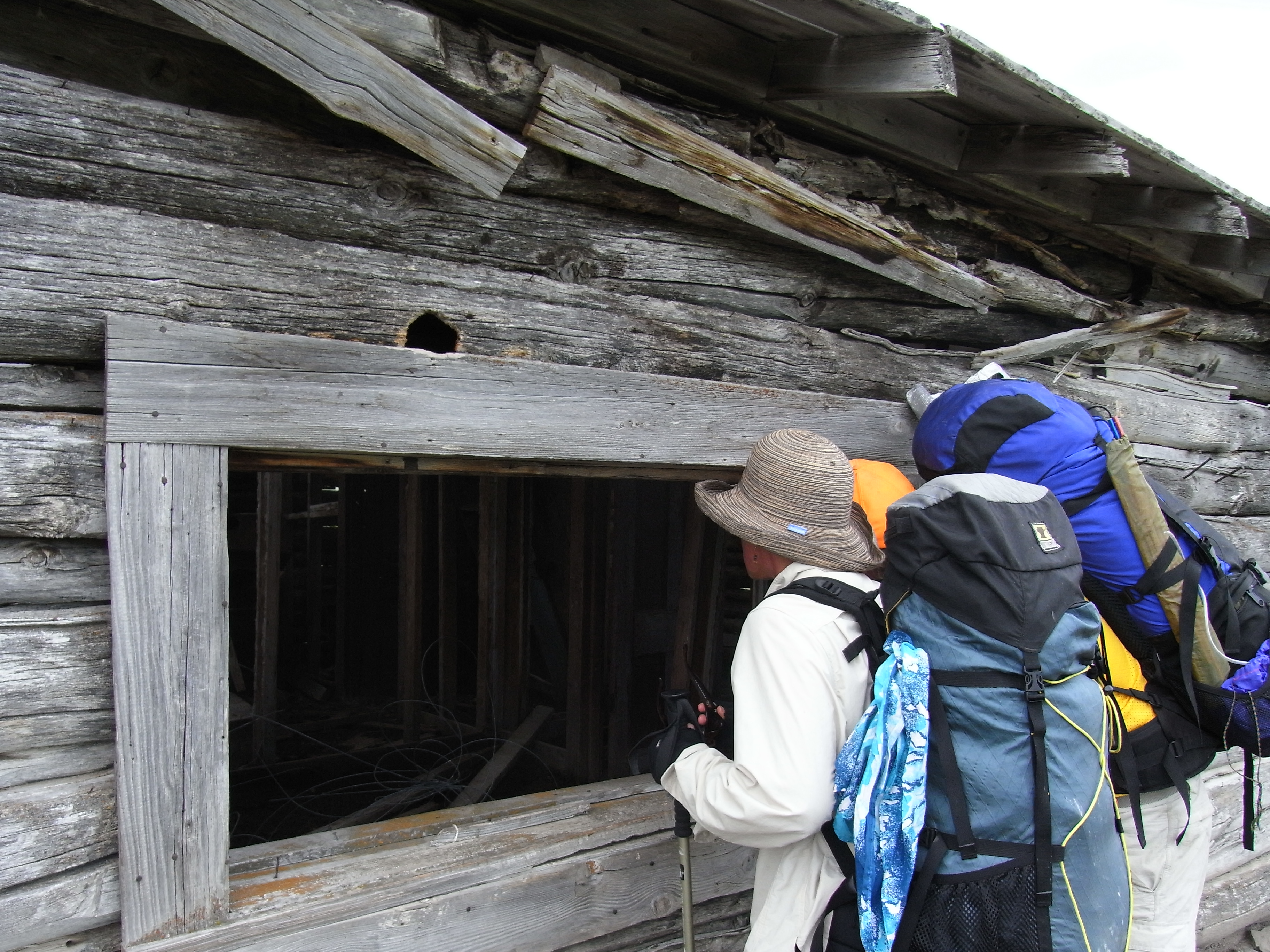
Peeking in
Topographic Map of Continental Divide Trail, United States
Find elevation by address:

Places near Continental Divide Trail, United States:
Miller Hill
Continental Divide
Chokecherry Knob
Creston
Green Ridge
Divide Peak
248 La Paloma Dr
Rawlins Koa Journey
221 3rd St
Rawlins
1300 Us-287
Jack Creek Campground
Baymont By Wyndham Rawlins
North Flat Top
Singer Peak
Savery
Wyoming 70
Baggs
Battle Mountain
The Lodge And Spa At Three Forks Ranch
Recent Searches:
- Elevation of Mamala II, Sariaya, Quezon, Philippines
- Elevation of Sarangdanda, Nepal
- Elevation of 7 Waterfall Way, Tomball, TX, USA
- Elevation of SW 57th Ave, Portland, OR, USA
- Elevation of Crocker Dr, Vacaville, CA, USA
- Elevation of Pu Ngaol Community Meeting Hall, HWHM+3X7, Krong Saen Monourom, Cambodia
- Elevation of Royal Ontario Museum, Queens Park, Toronto, ON M5S 2C6, Canada
- Elevation of Groblershoop, South Africa
- Elevation of Power Generation Enterprises | Industrial Diesel Generators, Oak Ave, Canyon Country, CA, USA
- Elevation of Chesaw Rd, Oroville, WA, USA