Elevation of TX-75, Teague, TX, USA
Location: United States > Texas > Freestone County > Teague >
Longitude: -96.139306
Latitude: 31.5944703
Elevation: 141m / 463feet
Barometric Pressure: 100KPa
Elevation Map:
Satellite Map:
Related Photos:

Fairfield House

Three Doors
cedar stump ranch
Teague Hotel with view of Big Mike and the train Depot
House view from the South
#i45 & I #Texss.
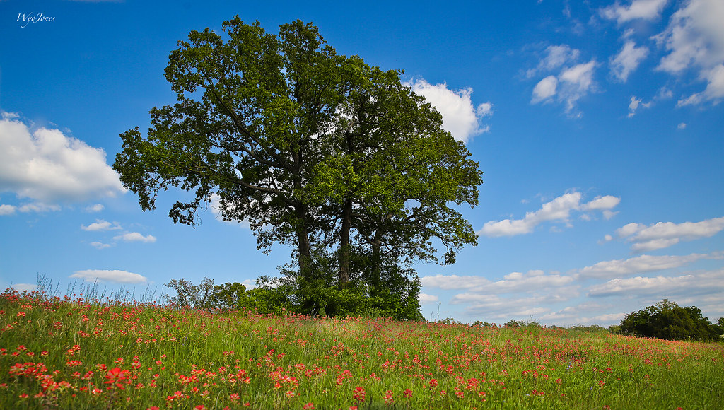
Oak Trees In Sping
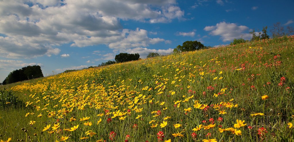
Spring Hillside
The Texas sky!! You just don't see this is in Louisiana.
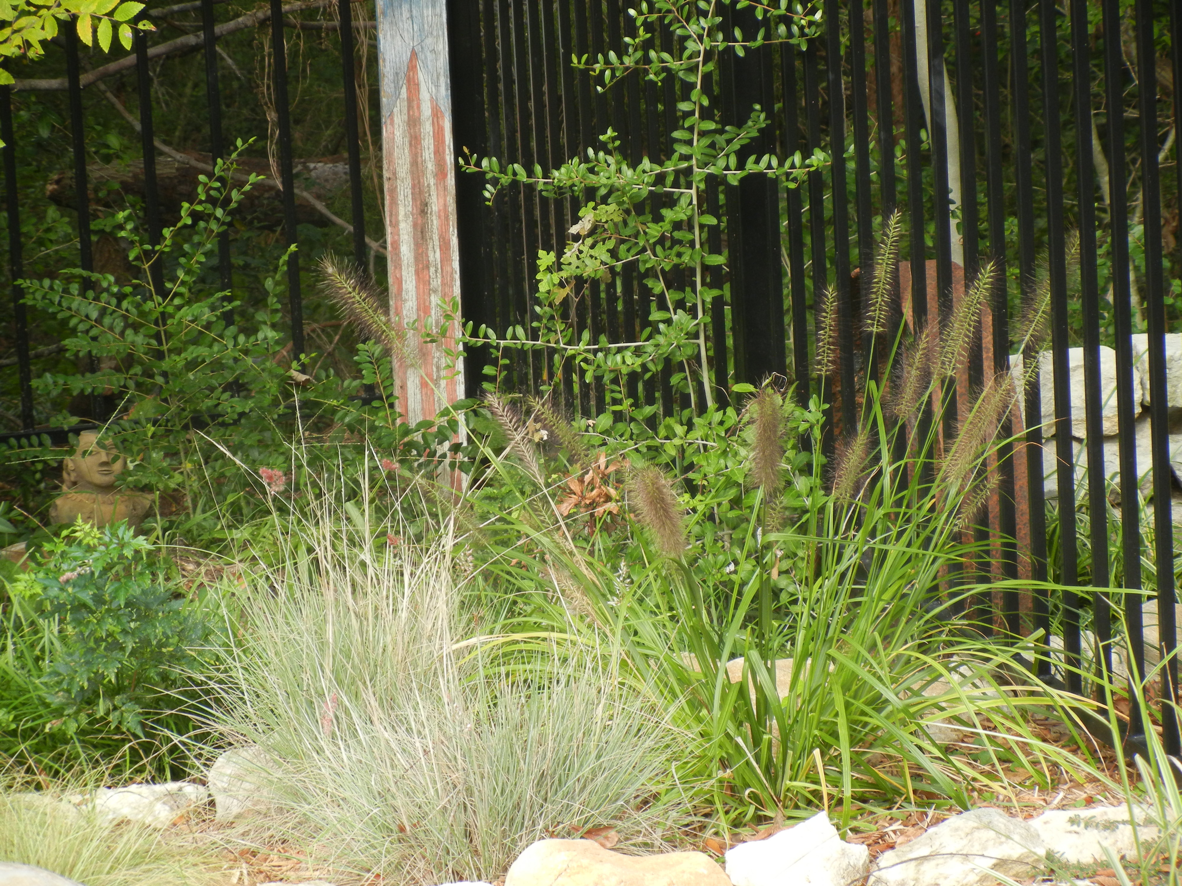
Pool Plantings
warm morning light

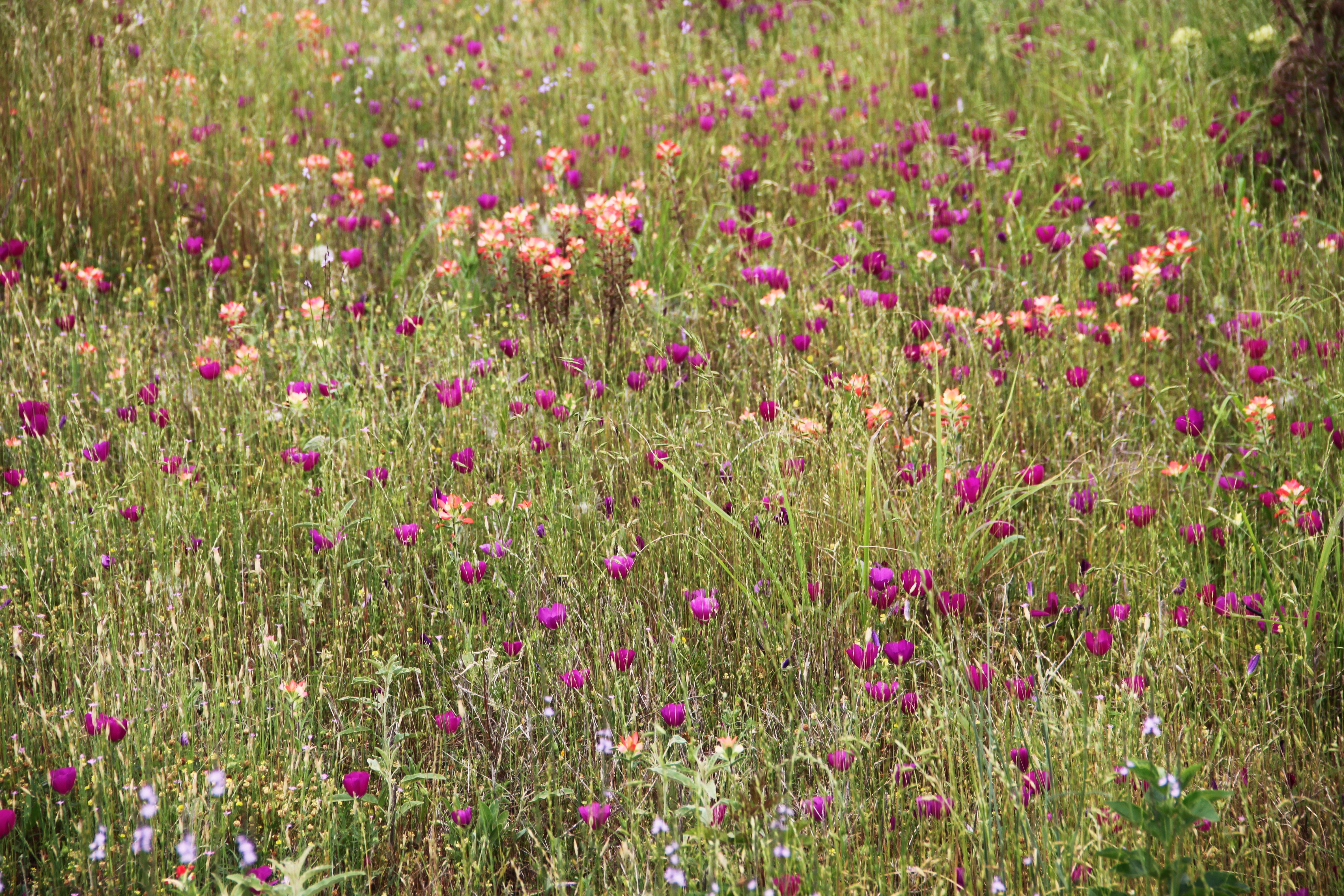
Flowers of the Field
roadside beauty
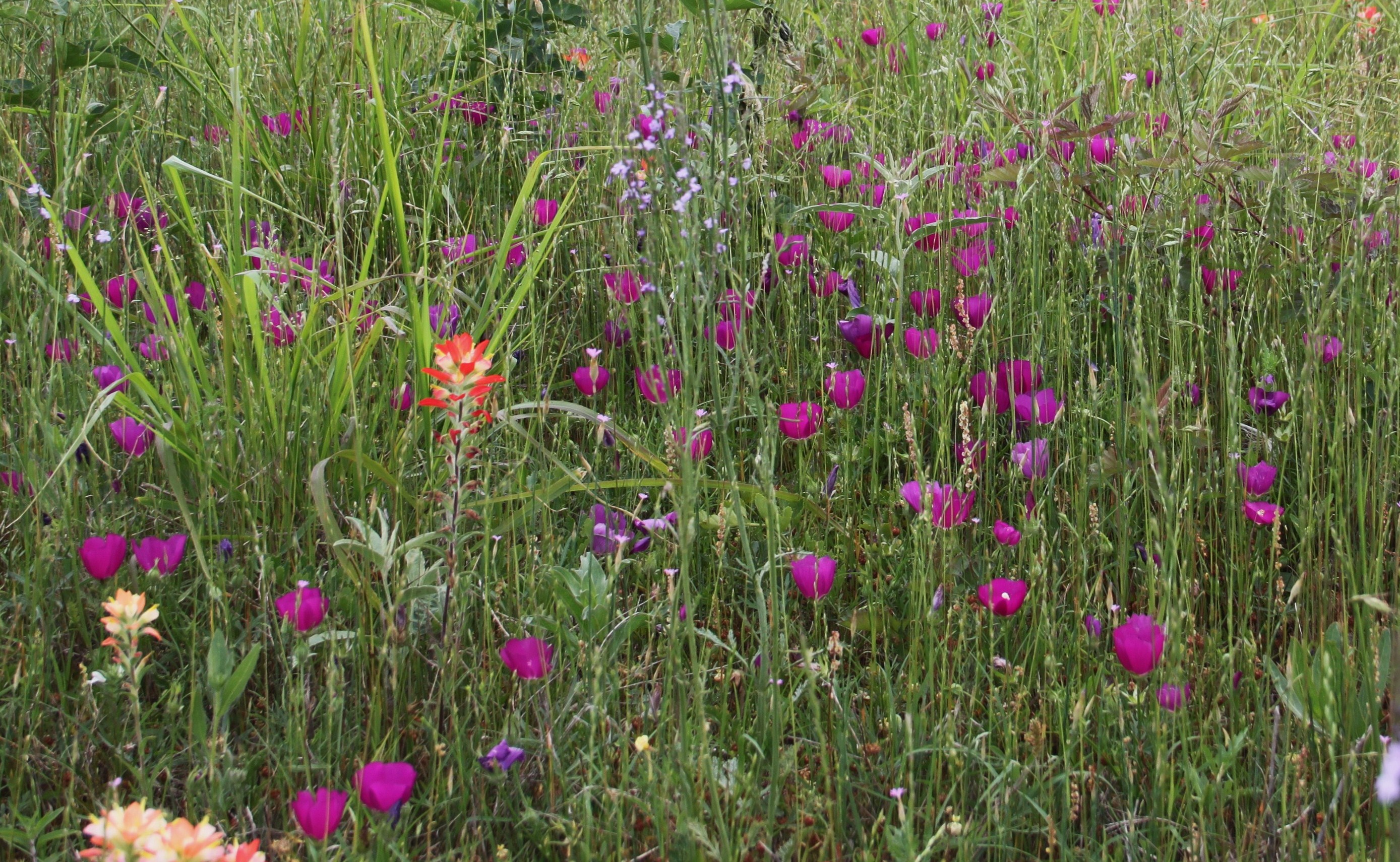
purple poppy mallow

Rock Shelter

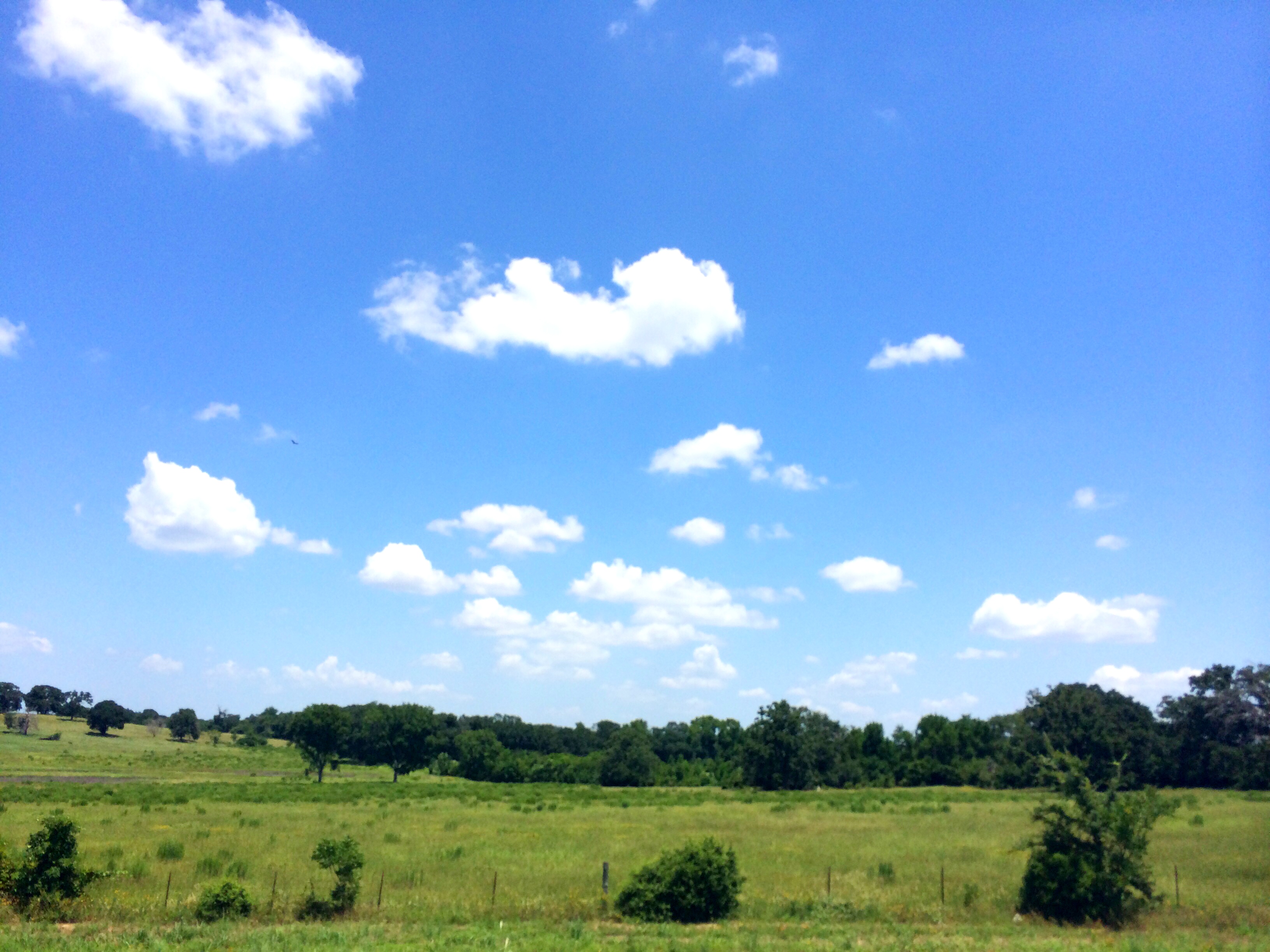
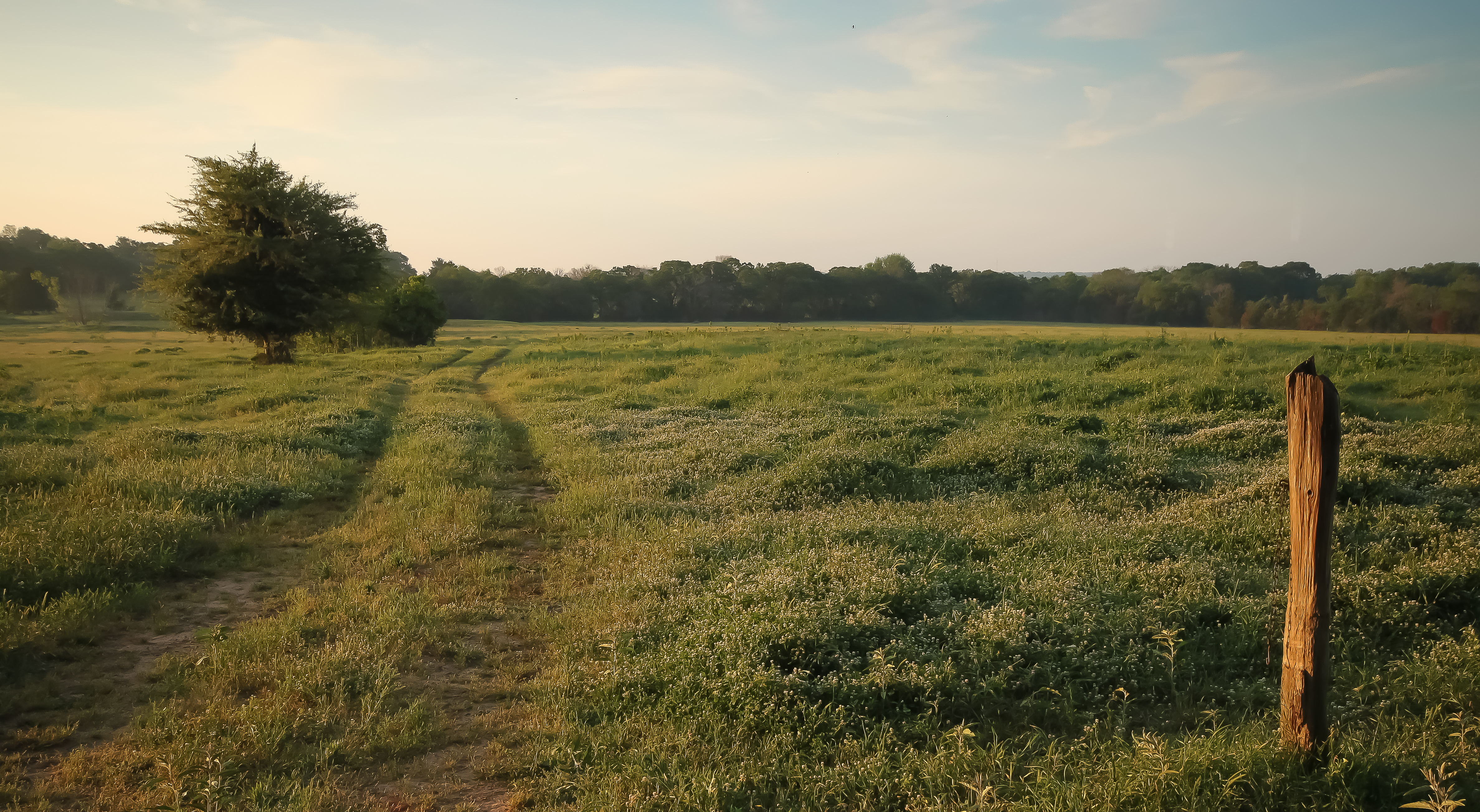
Big Texas Sky
Topographic Map of TX-75, Teague, TX, USA
Find elevation by address:

Places near TX-75, Teague, TX, USA:
Farm To Market Road 1580
TX-75, Fairfield, TX, USA
361 Co Rd 431
Fairfield
304 N Hall St
Main St, Donie, TX, USA
535 F County Rd 751
Donie
1241 N Buffalo Ave
1241 N Buffalo Ave
Teague
Buffalo
Old Buffalo Rd & Center St
Donie, TX, USA
Freestone County
FM, Buffalo, TX, USA
US-84, Fairfield, TX, USA
132 Co Rd 930
132 Co Rd 930
County Road 930
Recent Searches:
- Elevation of Lampiasi St, Sarasota, FL, USA
- Elevation of Elwyn Dr, Roanoke Rapids, NC, USA
- Elevation of Congressional Dr, Stevensville, MD, USA
- Elevation of Bellview Rd, McLean, VA, USA
- Elevation of Stage Island Rd, Chatham, MA, USA
- Elevation of Shibuya Scramble Crossing, 21 Udagawacho, Shibuya City, Tokyo -, Japan
- Elevation of Jadagoniai, Kaunas District Municipality, Lithuania
- Elevation of Pagonija rock, Kranto 7-oji g. 8"N, Kaunas, Lithuania
- Elevation of Co Rd 87, Jamestown, CO, USA
- Elevation of Tenjo, Cundinamarca, Colombia