Elevation of Teague, TX, USA
Location: United States > Texas > Freestone County >
Longitude: -96.283862
Latitude: 31.6271145
Elevation: 151m / 495feet
Barometric Pressure: 100KPa
Elevation Map:
Satellite Map:
Related Photos:

Fairfield House
Teague Hotel with view of Big Mike and the train Depot
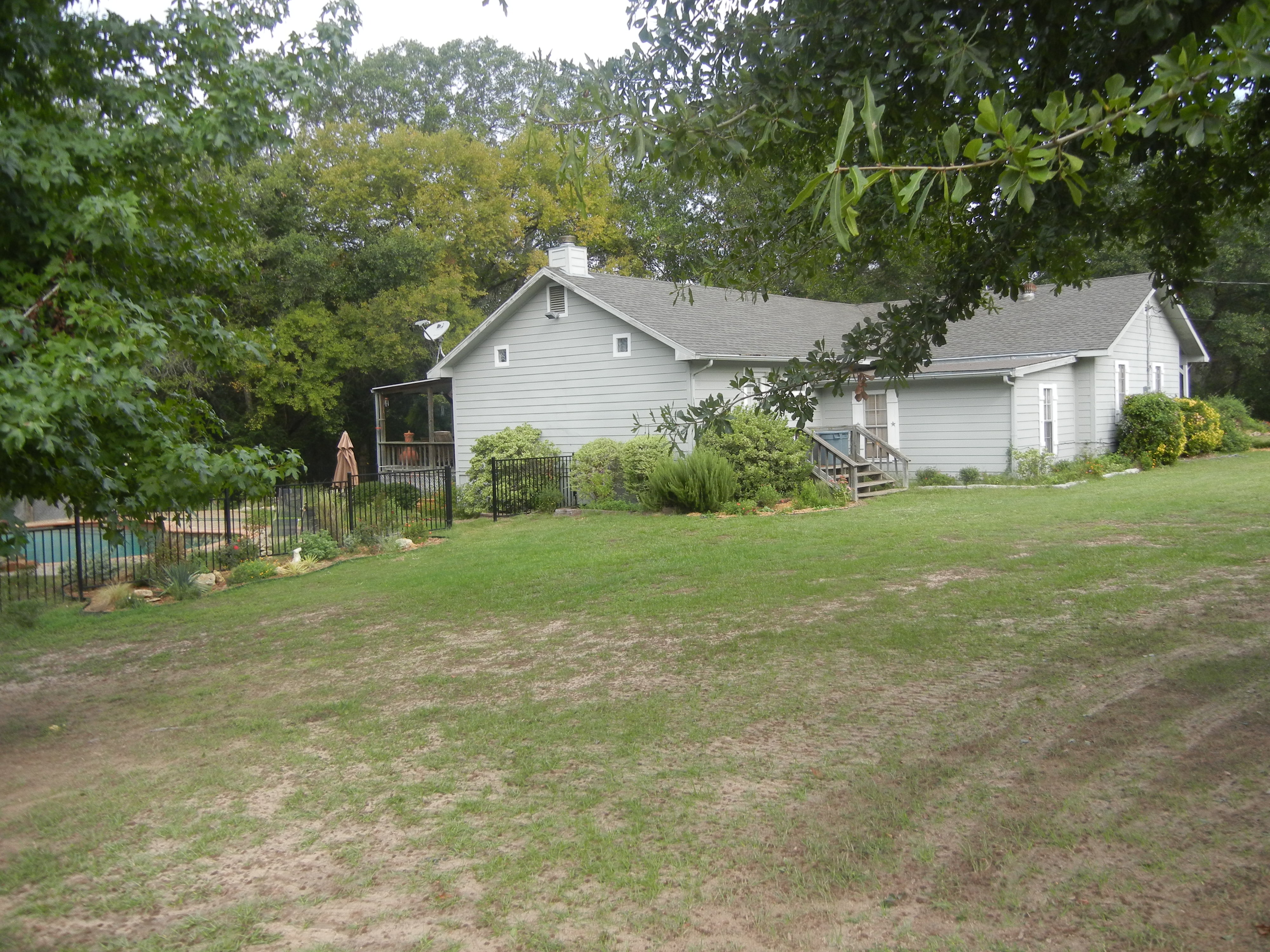
House view from the South

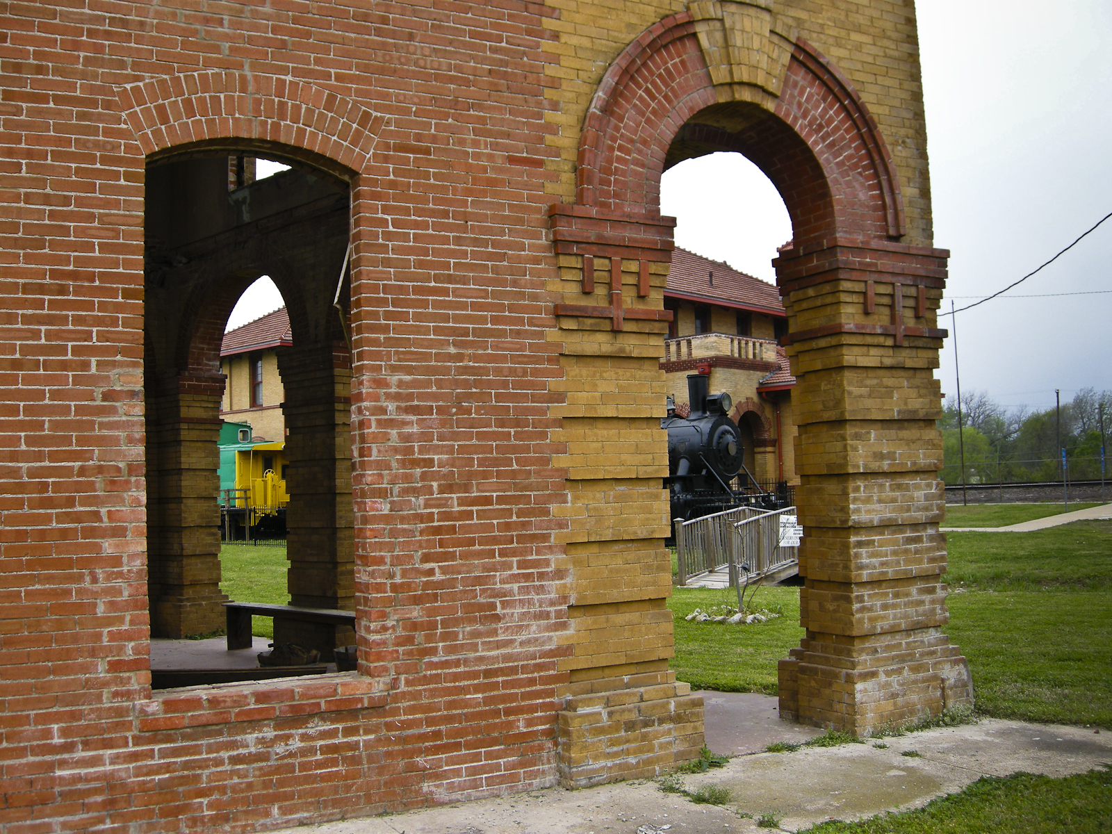
Three Doors
#i45 & I #Texss.
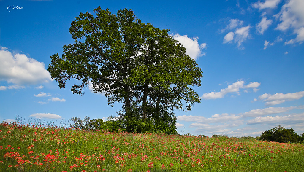
Oak Trees In Sping

Spring Hillside
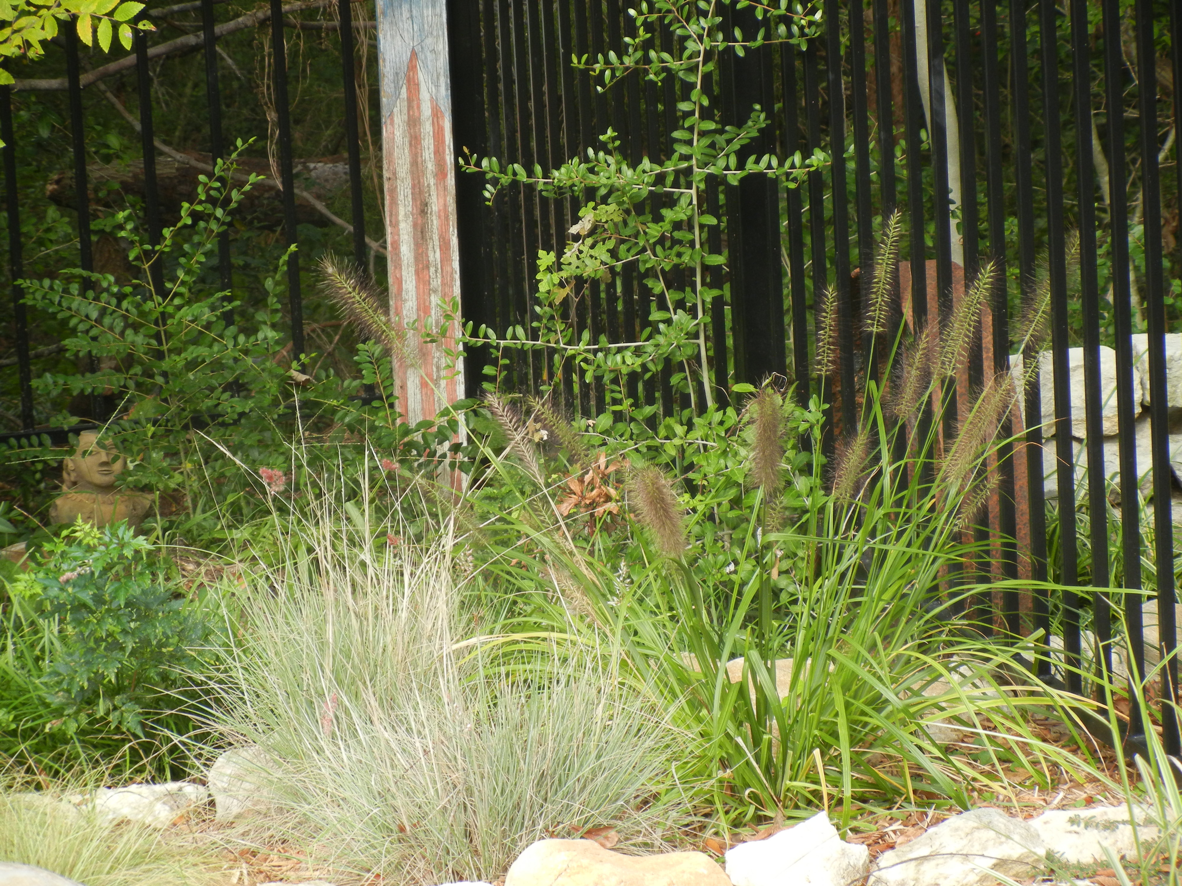
Pool Plantings
warm morning light

Flowers of the Field

roadside beauty

purple poppy mallow

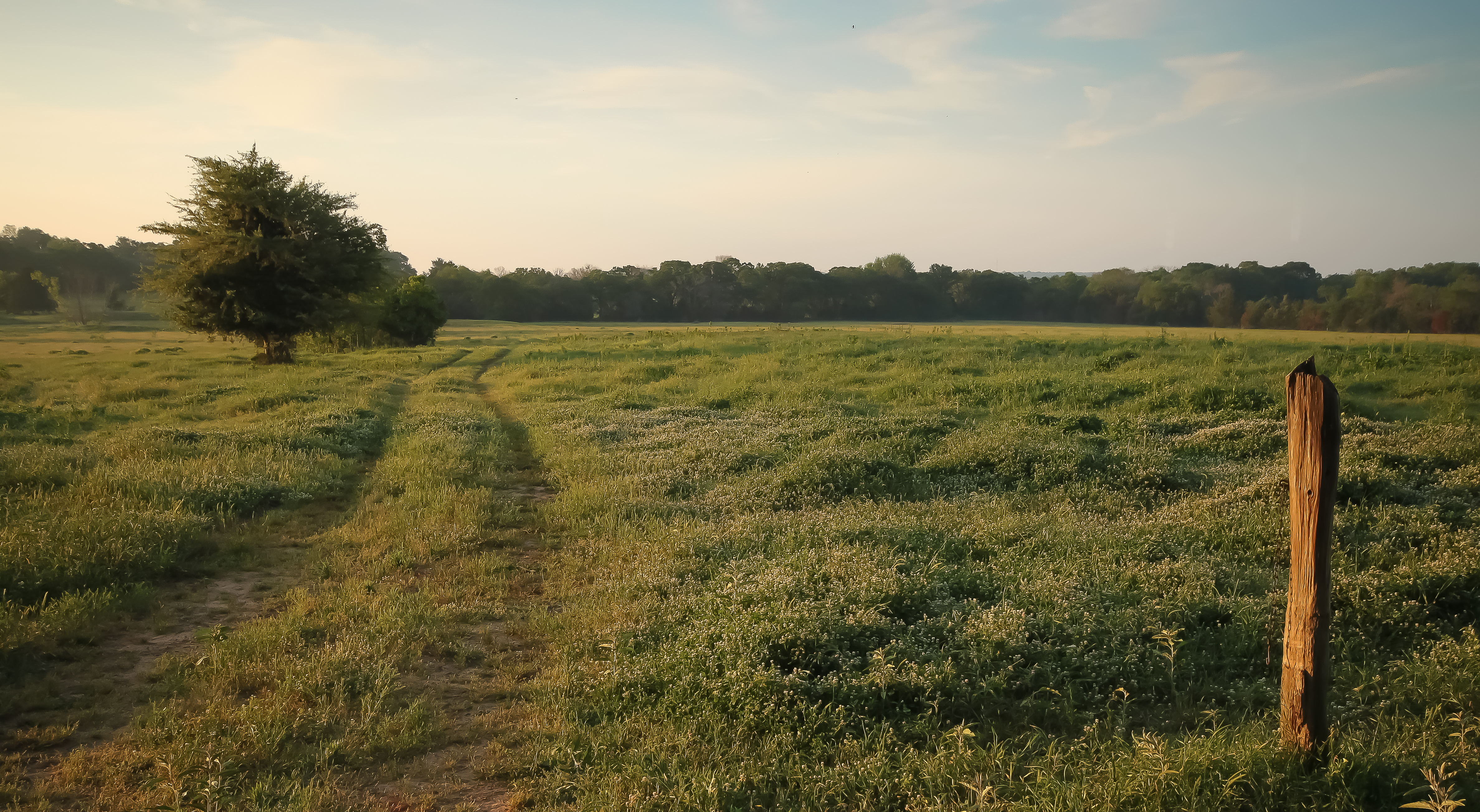
Big Texas Sky
Topographic Map of Teague, TX, USA
Find elevation by address:

Places in Teague, TX, USA:
Places near Teague, TX, USA:
132 Co Rd 930
132 Co Rd 930
County Road 930
Lcr 443
535 F County Rd 751
TX-75, Fairfield, TX, USA
Main St, Streetman, TX, USA
TX-75, Teague, TX, USA
Fairfield
Farm To Market Road 1580
Main St, Donie, TX, USA
Donie
304 N Hall St
FM, Groesbeck, TX, USA
Freestone County
Donie, TX, USA
Mexia
470 Co Rd 995
419 Lcr 779
Lcr911
Recent Searches:
- Elevation of SW 57th Ave, Portland, OR, USA
- Elevation of Crocker Dr, Vacaville, CA, USA
- Elevation of Pu Ngaol Community Meeting Hall, HWHM+3X7, Krong Saen Monourom, Cambodia
- Elevation of Royal Ontario Museum, Queens Park, Toronto, ON M5S 2C6, Canada
- Elevation of Groblershoop, South Africa
- Elevation of Power Generation Enterprises | Industrial Diesel Generators, Oak Ave, Canyon Country, CA, USA
- Elevation of Chesaw Rd, Oroville, WA, USA
- Elevation of N, Mt Pleasant, UT, USA
- Elevation of 6 Rue Jules Ferry, Beausoleil, France
- Elevation of Sattva Horizon, 4JC6+G9P, Vinayak Nagar, Kattigenahalli, Bengaluru, Karnataka, India