Elevation of Freestone County, TX, USA
Location: United States > Texas >
Longitude: -96.152698
Latitude: 31.7534889
Elevation: 120m / 394feet
Barometric Pressure: 100KPa
Elevation Map:
Satellite Map:
Related Photos:

Fairfield House

Old 75
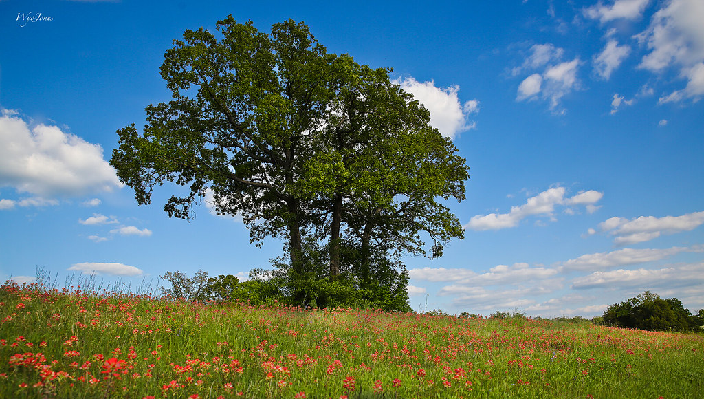
Oak Trees In Sping

peach orchard

Spring Hillside

Yep.
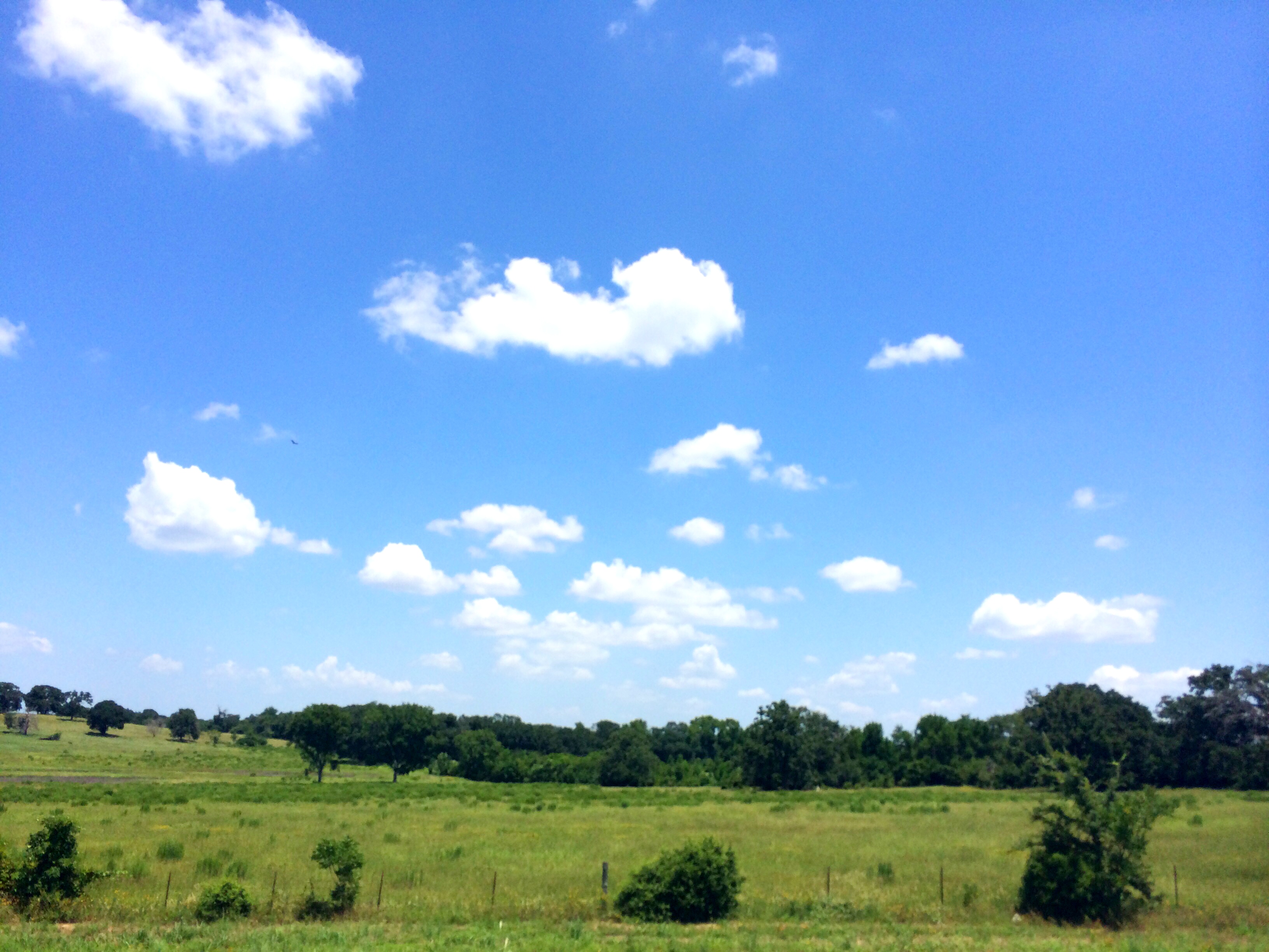
The Texas sky!! You just don't see this is in Louisiana.

Flowers of the Field

Hammock-119

Butterfly On Globe Thistle
Topographic Map of Freestone County, TX, USA
Find elevation by address:

Places in Freestone County, TX, USA:
Places near Freestone County, TX, USA:
304 N Hall St
Fairfield
TX-75, Fairfield, TX, USA
Farm To Market Road 1580
361 Co Rd 431
TX-75, Teague, TX, USA
Main St, Streetman, TX, USA
Teague
110 April Cove
Winkler
132 Co Rd 930
132 Co Rd 930
225 Pelican Point
County Road 930
Streetman
US-84, Fairfield, TX, USA
275 Pr 307
470 Co Rd 995
Clubhouse Drive
535 F County Rd 751
Recent Searches:
- Elevation of Corso Fratelli Cairoli, 35, Macerata MC, Italy
- Elevation of Tallevast Rd, Sarasota, FL, USA
- Elevation of 4th St E, Sonoma, CA, USA
- Elevation of Black Hollow Rd, Pennsdale, PA, USA
- Elevation of Oakland Ave, Williamsport, PA, USA
- Elevation of Pedrógão Grande, Portugal
- Elevation of Klee Dr, Martinsburg, WV, USA
- Elevation of Via Roma, Pieranica CR, Italy
- Elevation of Tavkvetili Mountain, Georgia
- Elevation of Hartfords Bluff Cir, Mt Pleasant, SC, USA