Elevation of N Hall St, Fairfield, TX, USA
Location: United States > Texas > Freestone County > Fairfield >
Longitude: -96.157897
Latitude: 31.7293562
Elevation: 147m / 482feet
Barometric Pressure: 100KPa
Elevation Map:
Satellite Map:
Related Photos:

Old 75
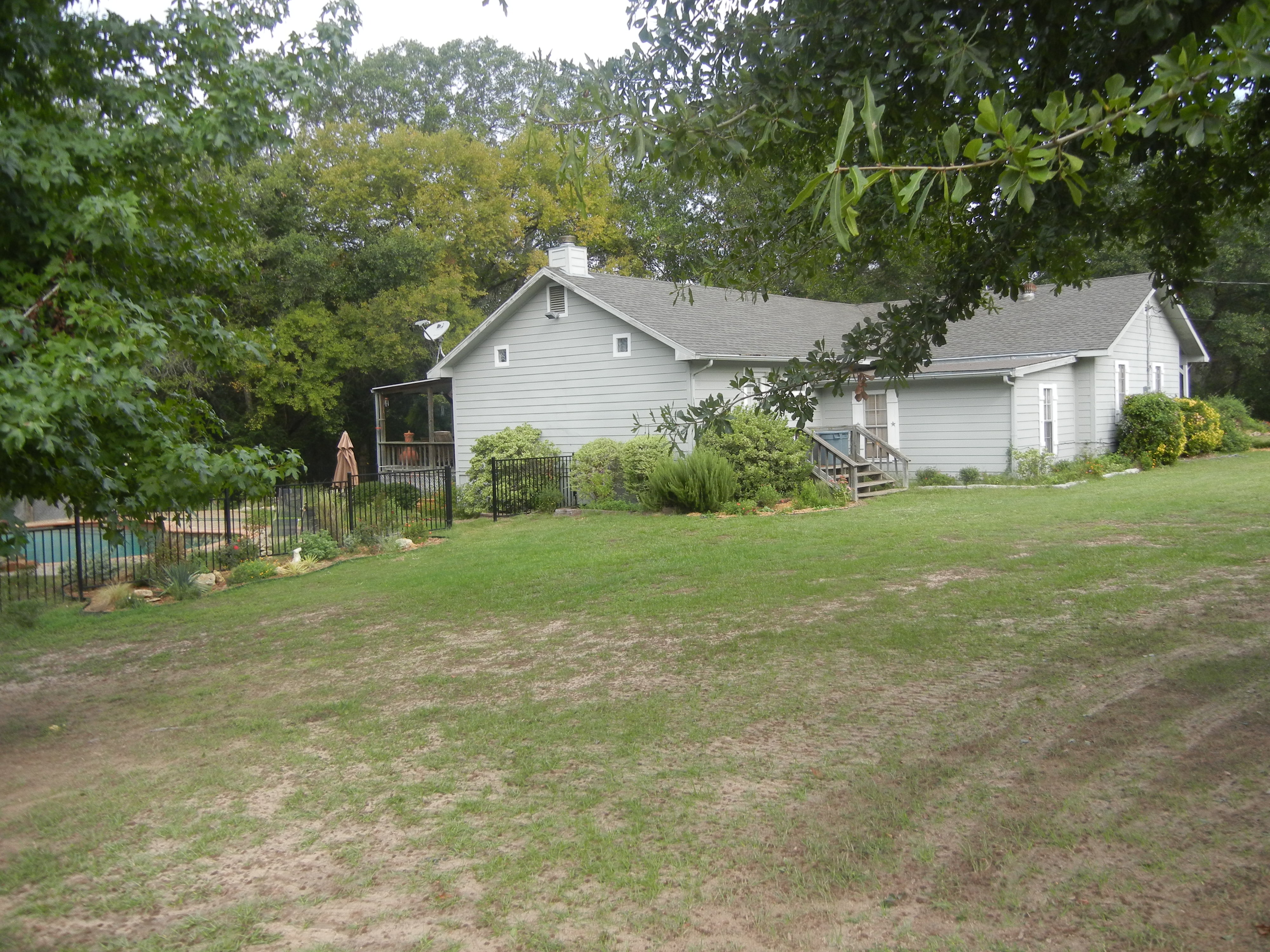
House view from the South
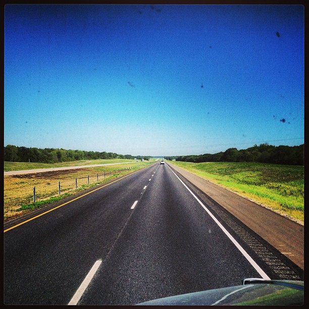
#i45 & I #Texss.
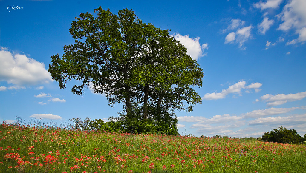
Oak Trees In Sping

Spring Hillside

Yep.
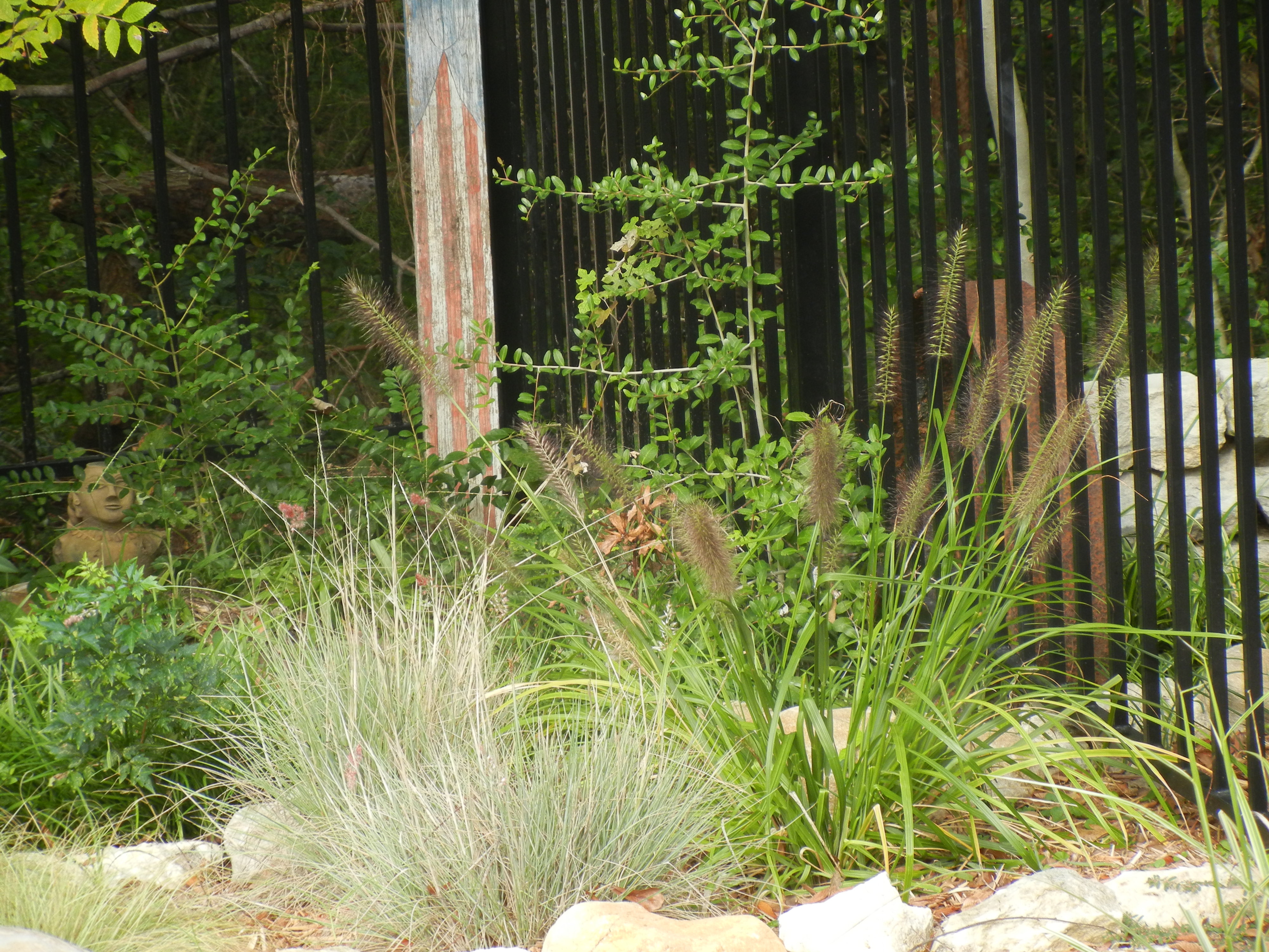
Pool Plantings
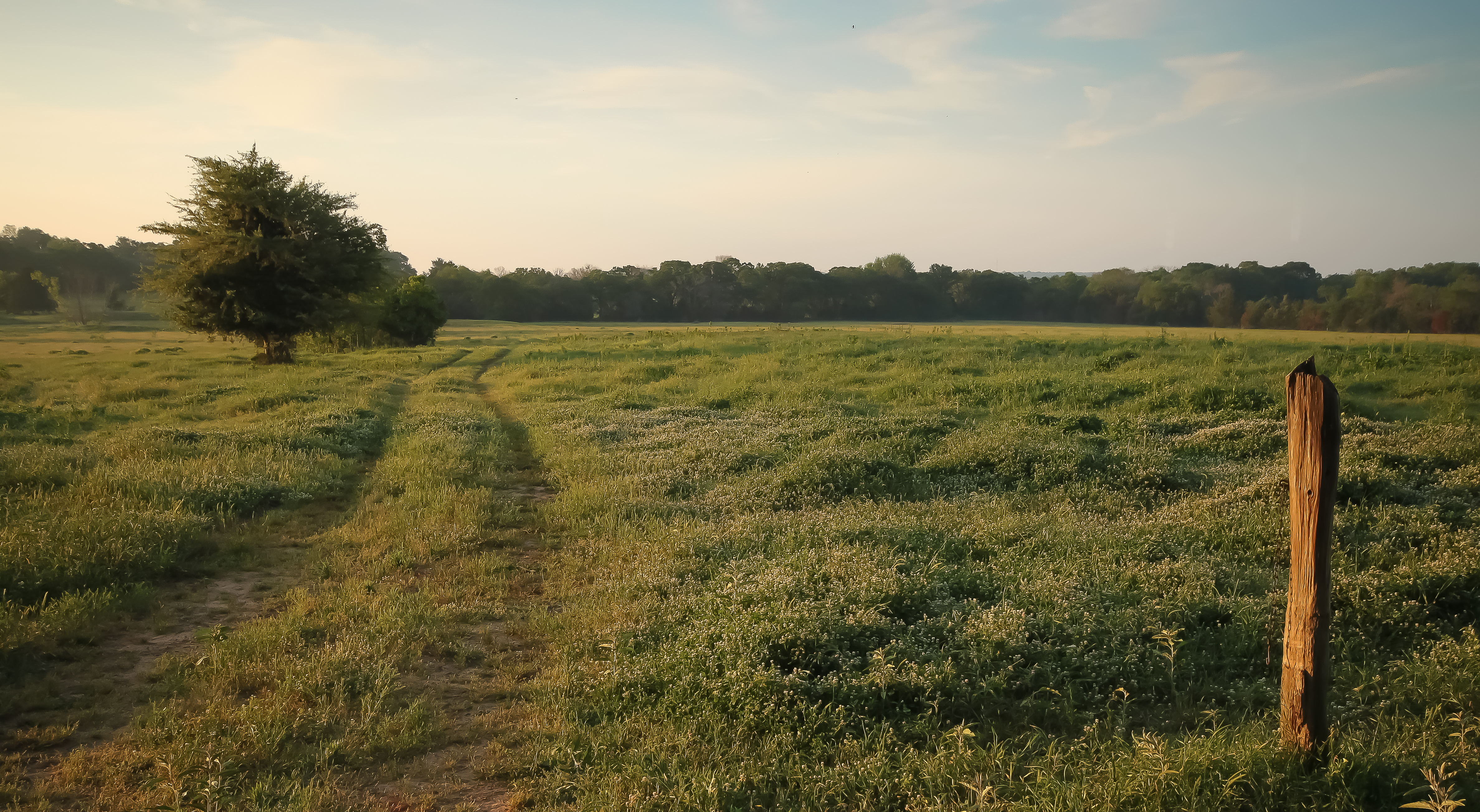
warm morning light

roadside beauty

purple poppy mallow

Butterfly On Globe Thistle
Topographic Map of N Hall St, Fairfield, TX, USA
Find elevation by address:

Places near N Hall St, Fairfield, TX, USA:
Fairfield
Freestone County
TX-75, Fairfield, TX, USA
Farm To Market Road 1580
361 Co Rd 431
TX-75, Teague, TX, USA
Teague
Main St, Streetman, TX, USA
132 Co Rd 930
132 Co Rd 930
County Road 930
US-84, Fairfield, TX, USA
110 April Cove
Winkler
225 Pelican Point
Streetman
535 F County Rd 751
275 Pr 307
470 Co Rd 995
Main St, Donie, TX, USA
Recent Searches:
- Elevation of Lampiasi St, Sarasota, FL, USA
- Elevation of Elwyn Dr, Roanoke Rapids, NC, USA
- Elevation of Congressional Dr, Stevensville, MD, USA
- Elevation of Bellview Rd, McLean, VA, USA
- Elevation of Stage Island Rd, Chatham, MA, USA
- Elevation of Shibuya Scramble Crossing, 21 Udagawacho, Shibuya City, Tokyo -, Japan
- Elevation of Jadagoniai, Kaunas District Municipality, Lithuania
- Elevation of Pagonija rock, Kranto 7-oji g. 8"N, Kaunas, Lithuania
- Elevation of Co Rd 87, Jamestown, CO, USA
- Elevation of Tenjo, Cundinamarca, Colombia