Elevation of Twin Buttes, Salome, AZ, USA

Location: United States > Arizona > La Paz County > Salome >

Longitude: -113.95004

Latitude: 33.680588

Elevation: 412m / 1352feet

Barometric Pressure: 96KPa

Elevation Map:

elevation map of Twin Buttes, Salome, AZ, USA

Satellite Map:

Satellite map of Twin Buttes, Salome, AZ, USA

Related Photos:

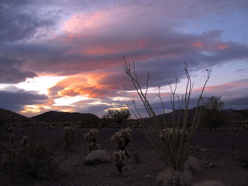
arizona sunset desert view beautiful desertscape illuminated cactus arockyhotandpokeyplace evening sky desertpavement chollacactus teddybearcholla cylindropuntiabigelovii deadlysharp spiny ocotillo fouquieriasplendens mountains scenic spellbinding epic beauty eveninglight sundown illumination sonorandesert plomosamountains lapazcounty westernaz exploration outdoors adventure outinthewild southwest nature canonpowershotg12 pspx8 zoniedude1 earthnaturelife explore
A Rocky Hot and Pokey Place
sunset arizona cactus sky southwest nature colors strange beautiful beauty clouds outdoors evening view desert awesome silhouettes adventure exploration epic sonorandesert ocotillo cholla cloudformations inthewild weirdclouds desertscape spellbinding lapazcounty zoniedude1 plomosamountains bestsunsetsintheworld canonpowershotg11 earthnaturelife pspx6 onedeserteve
One Desert Eve
sunset arizona cactus sky mountains southwest nature beautiful beauty clouds outdoors evening view desert scenic silhouettes stormy adventure exploration epic sonorandesert saguaros saguarocactus cloudformations desertskies desertscape spellbinding outinthewild lapazcounty zoniedude1 plomosamountains bestsunsetsintheworld earthnaturelife canonpowershotg12 pspx8 eveningatmospherics
Desert Skies
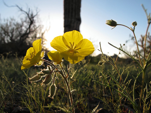
arizona desert spring wildflowers backlitbloomery yellowcups chylismiabrevipes onagraceae mojavesuncup desertprimrose annual native blooming flowers plomosamountains lapazcounty 1600ftelevation light shadow beauty harshenvironment outdoors exploration sonorandesert westernaz desertspring2019 closeup detail macro outinthewild southwest nature canonpowershotg12 pspx19 zoniedude1 earthnaturelife
Back Lit Bloomery
city arizona town flight aerialview aerial brenda unitedairlines windowseat iahtolax zeesstof houstontola
Brenda, AZ
arizona desert spring wildflowers rockydesert phacelia scorpionweed phaceliacrenulata boraginaceae forgetmenotfamily annual native cleftleafwildheliotrope notchleafscorpionweed scallopedphacelia blooming purple flowers desertpavement rock bluesky plomosamountains lapazcounty 1600ftelevation beauty rockgarden outdoors exploration sonorandesert westernaz desertspring2015 closeup detail macro outinthewild southwest nature canonpowershotg12 pspx8 zoniedude1 earthnaturelife
Rock Garden
sunset arizona cactus sky mountains southwest nature beautiful beauty clouds outdoors evening view desert scenic silhouettes stormy adventure explore exploration epic sonorandesert saguaros saguarocactus cloudformations desertscape spellbinding outinthewild lapazcounty zoniedude1 plomosamountains bestsunsetsintheworld earthnaturelife cloudsstormssunsetssunrises canonpowershotg12 pspx8 eveningatmospherics
Evening Atmospherics
red arizona greenleaves southwest detail macro green nature closeup outdoors spring desert bluesky wildflowers weirdness exploration drseuss sonorandesert ocotillo redflowers blooming thorny desertscape outinthewild lapazcounty zoniedude1 plomosamountains earthnaturelife canonpowershotg12 westernaz pspx6 desertspring2015
Weird Beauty
flowers arizona southwest detail macro nature beauty closeup outdoors spring purple desert native bluesky wildflowers annual exploration sonorandesert phacelia blooming phaceliacrenulata boraginaceae scorpionweed forgetmenotfamily cleftleafwildheliotrope scallopedphacelia outinthewild lapazcounty zoniedude1 plomosamountains earthnaturelife notchleafscorpionweed canonpowershotg12 westernaz pspx6 elegantlydisplayed desertspring2015 1600ftelevation
Elegantly Displayed
light arizona cactus sky southwest nature clouds landscape outdoors evening desert sharp saguaro exploration prickly sonorandesert cholla teddybearcholla opuntiabigelovii desertscape lapazcounty starkbeauty zoniedude1 plomosamountains pronouncedchoyuh earthnaturelife canonpowershotg12 westernaz pspx6 aridwest
Arid West
arizona sign i10 us60 interchange terminus interstatehighway biggreensign freewayjunction
I-10 West - Exit 31
light sunset arizona southwest nature beauty landscape outdoors evening glow desert sundown illumination deadtree gnarly exploration discovery sonorandesert paloverde creosote teddybearcholla saguarocactus mesquitetree desertscape lapazcounty zoniedude1 plomosamountains canonpowershotg11 earthnaturelife weatheredremains
Weathered Remains
arizona desert geocoded outback wilderness
Twin Peaks, New Water Mountains
0115-154500
arizona panorama desert geocoded wilderness newwater
New Water Wilderness
arizona desert geocoded outback wilderness
New Water Mountains Wilderness
aerial
0104-153938
square squareformat iphoneography instagramapp uploaded:by=instagram
Arizona Sunset. #nofilter #roadtrippin #arizona
arizona geocoded rockart petroglyphs
Petroglyphs East of Dripping Springs
arizona desert geocoded outback wilderness
New Water Mountains
arizona 2012 minitakesthestates mtts2012
Arizona Landscape (B & W)
arizona 2012 minitakesthestates mtts2012
Arizona Landscape
county la 10 paz interstate eastbound
Interstate 10 Eastbound in La Paz County at Gold Nugget Rd
0103-173234
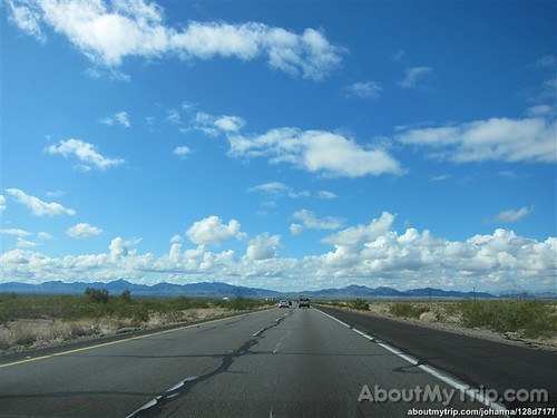
arizona usa unitedstates roadtrip lapazcounty pearlharbormemorialhighway aboutmytripdotcom
Arizona, La Paz County
arizona usa unitedstates roadtrip lapazcounty pearlharbormemorialhighway aboutmytripdotcom
Arizona, La Paz County
arizona usa unitedstates roadtrip lapazcounty pearlharbormemorialhighway aboutmytripdotcom
Arizona, La Paz County
arizona usa unitedstates roadtrip lapazcounty pearlharbormemorialhighway aboutmytripdotcom
Arizona, La Paz County
arizona usa unitedstates roadtrip lapazcounty pearlharbormemorialhighway aboutmytripdotcom
Arizona, La Paz County