Elevation of Pallowalla Rd, Blythe, CA, USA
Location: United States > California > Riverside County > Blythe >
Longitude: -114.73046
Latitude: 33.605782
Elevation: 120m / 394feet
Barometric Pressure: 100KPa
Elevation Map:
Satellite Map:
Related Photos:
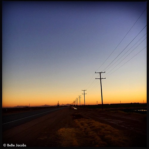
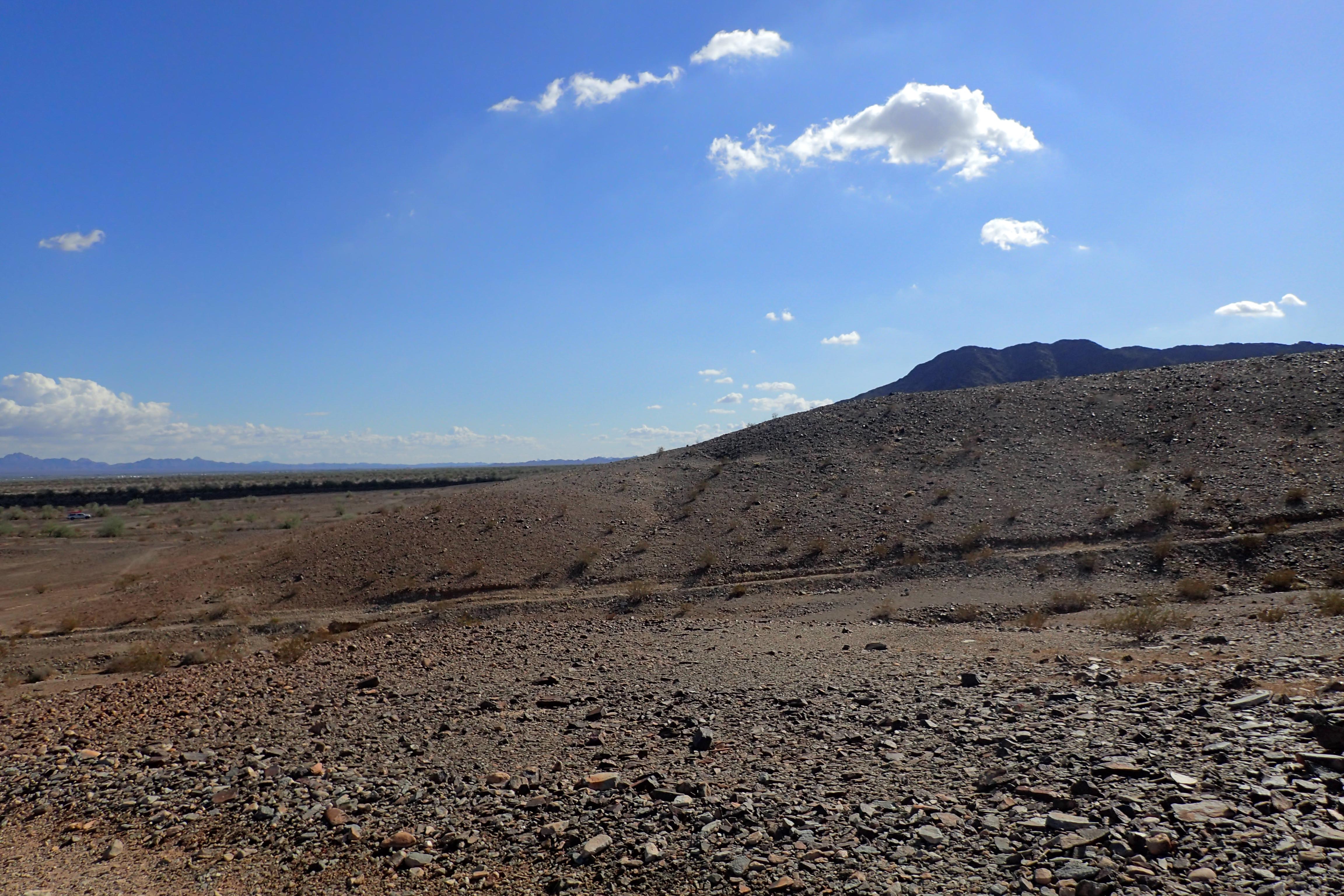
Sunset in Blythe
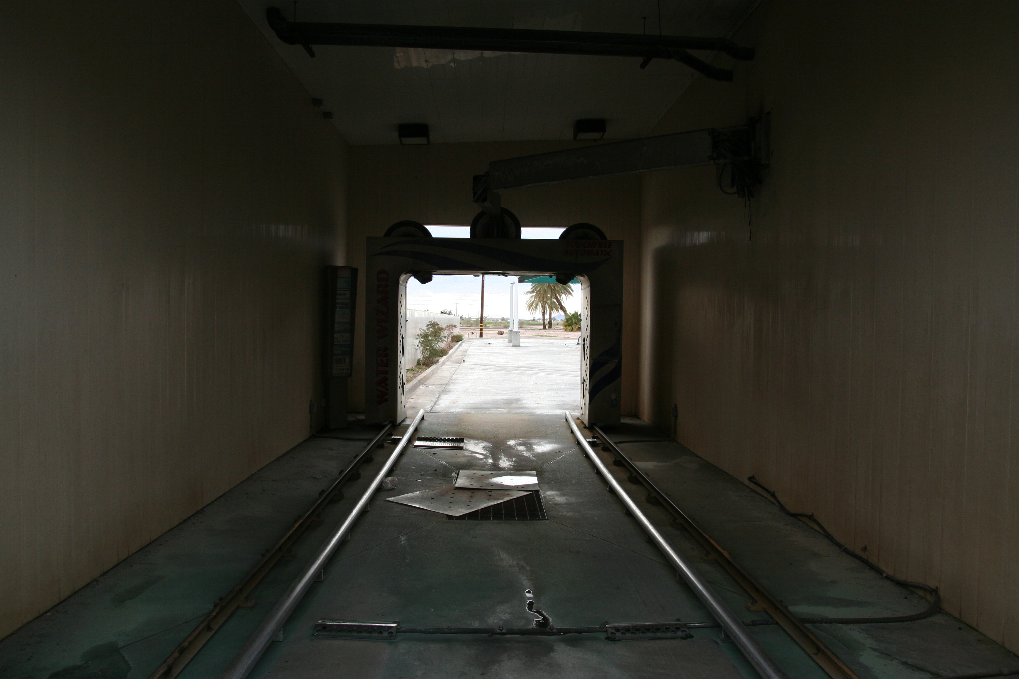
view of car wash

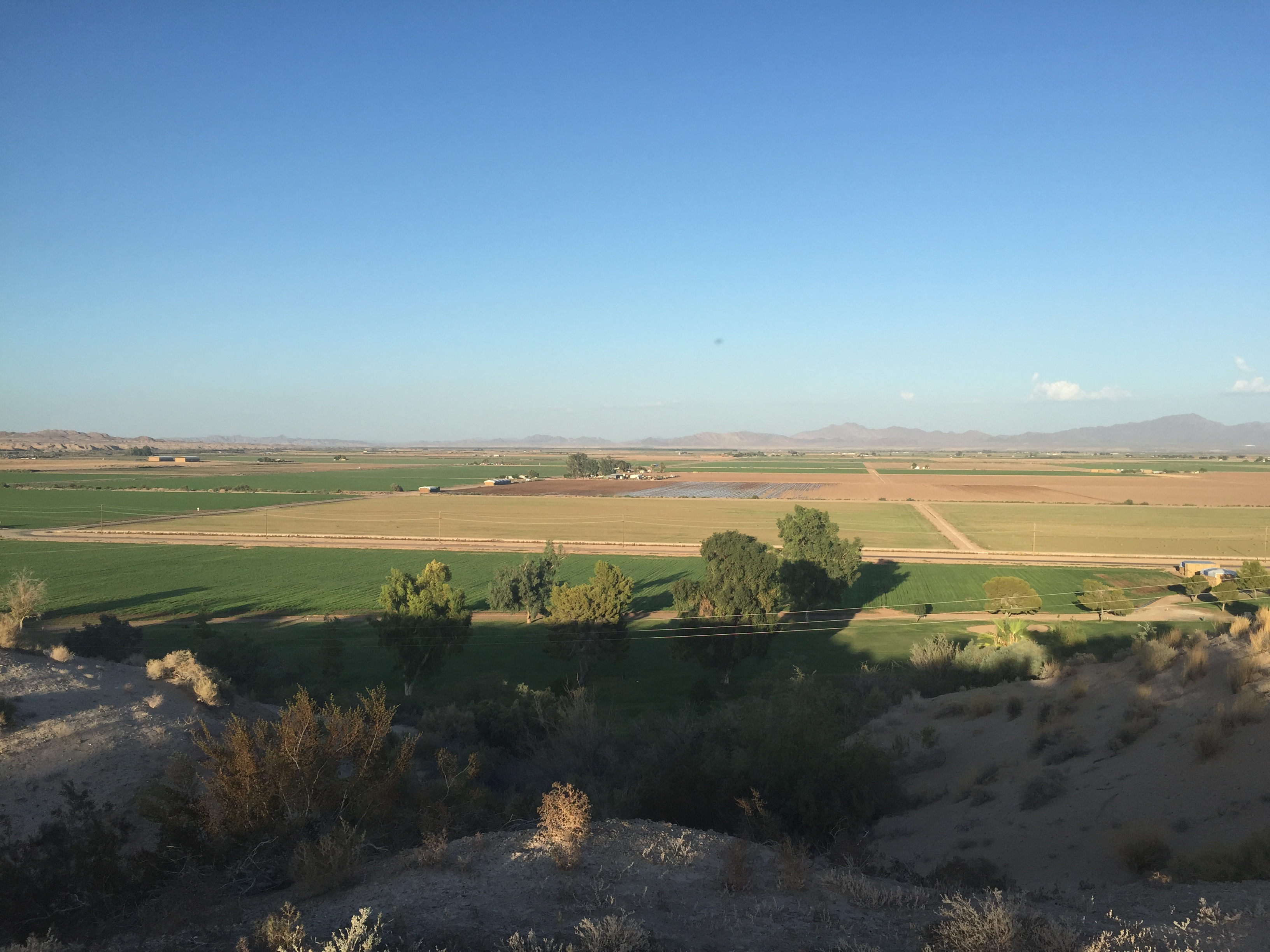
Hotel View
A #View not bad
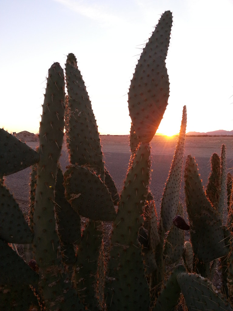
Sunset. #Blythe #BlytheCA #California #sunset
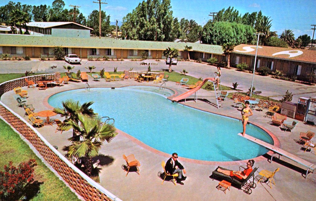
Sahara Motor Hotel - Blythe, California
PA214594.jpg

What's up Cali!? This has been one helluva bus ride. Ready to stretch my legs and go for a bike ride!
California Palms
PA214605.jpg
PA214600.jpg
PA214579.jpg
Oakland to Phoenix
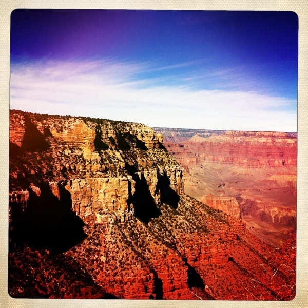
Grand Canyon
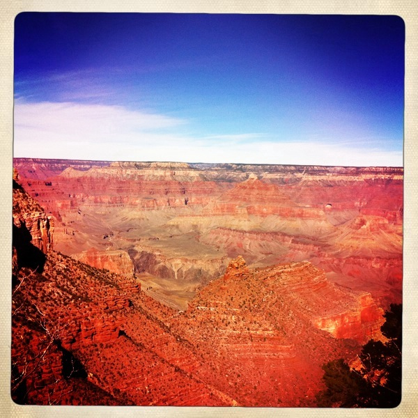
Grand Canyon
On our way to #joshuatree. #california #i10 #vscocam
P2162559.jpg

Caminhão nos Estados Unidos

McCoy Peak
USA Cosmos Golden West Tour-186
P2162551.jpg
P2162561.jpg
P2162546.jpg
P2162557.jpg
Topographic Map of Pallowalla Rd, Blythe, CA, USA
Find elevation by address:

Places near Pallowalla Rd, Blythe, CA, USA:
18th Ave, Blythe, CA, USA
W Wells Rd, Blythe, CA, USA
Blythe
M Star Inn And Suites Blythe
881 S Intake Blvd
0 Ca-78
Palo Verde
15 Sunset, Palo Verde, CA, USA
2323 Riviera Dr
Ehrenberg
Ehrenberg-Parker Hwy, Ehrenberg, AZ, USA
Palo Verde Dam
Ehrenberg-cibola Road
Tom Wells Rd, Ehrenberg, AZ, USA
Walters Camp Rd, Palo Verde, CA, USA
2690 Rio Vista Way
Quartzsite
200 N Moon Mountain Ave
Rice Ranch
77 Plymouth Rd
Recent Searches:
- Elevation of Congressional Dr, Stevensville, MD, USA
- Elevation of Bellview Rd, McLean, VA, USA
- Elevation of Stage Island Rd, Chatham, MA, USA
- Elevation of Shibuya Scramble Crossing, 21 Udagawacho, Shibuya City, Tokyo -, Japan
- Elevation of Jadagoniai, Kaunas District Municipality, Lithuania
- Elevation of Pagonija rock, Kranto 7-oji g. 8"N, Kaunas, Lithuania
- Elevation of Co Rd 87, Jamestown, CO, USA
- Elevation of Tenjo, Cundinamarca, Colombia
- Elevation of Côte-des-Neiges, Montreal, QC H4A 3J6, Canada
- Elevation of Bobcat Dr, Helena, MT, USA