Elevation of Turnbull Road, Turnbull Rd, Warrenton, VA, USA

Location: United States > Virginia > Fauquier County > Center > Warrenton >

Longitude: -77.875324

Latitude: 38.6690249

Elevation: 135m / 443feet

Barometric Pressure: 100KPa

Elevation Map:

elevation map of Turnbull Road, Turnbull Rd, Warrenton, VA, USA

Satellite Map:

Satellite map of Turnbull Road, Turnbull Rd, Warrenton, VA, USA

Related Photos:

autumn fence virginia farm
Virginia farm, Nov 2011 - 20
blackwellroad warrenton wachtmeister fauquier airlie explore farmsandfoodpec2018
Wachtmeister Farm
view usa landscape nature nationalpark mountains background appalachian trees shenandoah colorful serenity solitude travel scenic park drive skyline virginia national warrenton unitedstates us dawn
End of Night at Hazel Mountain Overlook
briancotter culpeperregionalcjr danhaug felix jimjuicekoch mikehogiehogan n3167gta272493272cn168726 n6253c40ecn16847 n796wm94cn8815328 navy northamericanat6dtexan northamericant6gtexan peterhague robblitzkrieg trainer usairforce usnavy usaf units vfa31 virginia aerobatic airshow aviation flying formation pilot plane planes sky warbird warbirds
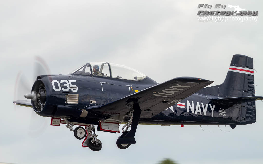
Texan Three, Rejoining
sky plane virginia flying unitedstates aviation wwii airshow planes marines warbirds usmarinecorps commemorativeairforce brandystation torpedobomber commemorativeairforcecaf culpeperregionalcjr grummangeneralmotorstbm3eavenger combatairsupportcas n40402buaer91426dorismaecn4331 vmtb143rocketraiders capitalwing aircraftmaintenancecadets
Doris Mae Takes the Stage
warrenton northwales shenandoahmountains bestminimalshot whitneystateforest fauquiercountyva
Distant Shenandoahs
plane virginia fighter unitedstates aircraft navy honor worldwarii usnavy warbird veterans brandystation commemorativeairforcecaf texasflyinglegendsmuseum culpeperregionalcjr grummangeneralmotorsfm2pwildcat n5hpcn5835
Sleeping Cat
plane virginia unitedstates aircraft honor worldwarii airforce warbird locations usaaf brandystation douglasa26binvader usarmyairforces commemorativeairforcecaf culpeperregionalcjr n99420silverdragoncn27383 exusaaf4434104
Fire In the Sky
landscapespec2018 pec2018landscapes warrenton snp shenandoahmountains whitneystateforest northwales fauquier pec10landscapes
Distant Shenandoahs
warbirds usmarinecorps commemorativeairforce culpeperregionalcjr grummangeneralmotorstbm3eavenger combatairsupportcas n40402buaer91426dorismaecn4331 vmtb143rocketraidersvirginiawwiiairshowflyingplaneplanestorpedobomber cafnationalcapitalsquadron culpeperairfest2014
Spread Your Wings
england plane virginia unitedstates worldwarii warbirds commemorativeairforce brandystation 8thairforce boeingb17gflyingfortress cafarizonawing glatton 457thbombgroup usarmyairforces culpeperregionalcjr n9323z483514fusentimentaljourneycn32155
Berlin Bound
autumn virginia farm
Virginia farm, Nov 2011 - 25
virginia unitedstates brandystation
In The Groove
plane virginia flying fighter unitedstates aircraft navy honor worldwarii planes virginiabeach warbirds usnavy warbird brandystation fighterfactory commemorativeairforcecaf militaryaviationmuseum voughtgoodyearfg1dcorsair culpeperregionalcjr n46rl9250831cn3769 exnavybuno92508 vf17jollyrogers johnglenfuentes ltsheldonrraybeacham
Black Corsair
lake virginia pond farm fauquier
Farm pond, Fauquier County VA
flower nature virginia spring purple blossoms steps ants unknown blooms remington stlukesepiscopalchurch fauquiercounty
Feast of the Ants
midland fauquier a300 catlett cmcrockettpark germantownlake fauquiercountyva landscapespec2013
Germantown Lake
plane virginia flying fighter unitedstates aircraft navy honor worldwarii planes virginiabeach warbirds usnavy warbird brandystation fighterfactory commemorativeairforcecaf militaryaviationmuseum voughtgoodyearfg1dcorsair culpeperregionalcjr n46rl9250831cn3769 exnavybuno92508 vf17jollyrogers johnglenfuentes ltsheldonrraybeacham
Blackburn's Finest
plane virginia unitedstates navy warbirds usnavy trainer brandystation northamericant28btrojan culpeperregionalcjr gordonmbowers n65491138245nj090138245cn200316
Airfoil Underside
virginia flying unitedstates navy airshow planes usnavy trainer astronaught brandystation northamericant28btrojan culpeperregionalcjr joerebedwards n281cm140035036cn21934 culpeperairfest2014
Clean Up
plane virginia flying unitedstates aviation planes warbirds trainer unitedstatesmarinecorps brandystation commemorativeairforcecaf northamericanat6ctexan culpeperregionalcjr n623dccn881516 capitalwing meredithmitskog rickhenshaw
Above The Shadows Of Giants
cave geology stalagmite stalactite luraycaverns
Luray Cavern
agriculture business virginia environment farm farming food unitedstates camera:model=canoneos5dmarkiv exif:lens=ef70200mmf28lusm camera:make=canon geocity geostate exif:aperture=ƒ56 geo:country=unitedstates exif:isospeed=800 exif:focallength=180mm exif:model=canoneos5dmarkiv exif:make=canon
Fauquier County, Va.
trees grass work virginia pod va photoaday 365 piedmont 2012 366 365days 366days
Day 289--10/15/12: Monday at work
explore fauquier warrentonva abigfave leesridge landscapespec2013
Lees Ridge
uploaded:by=flickrmobile flickriosapp:filter=narwhal narwhalfilter
Winter Pond
Farm Lake-Hwy 17-Warenton VA 00980
landscapespec2018 warrentonva
North Wales Farm
light dawn virginia farm hiddenacres
Dawn in the Woods I
cave geology luraycaverns
Luray Caverns
cave geology luraycaverns
Luray Caverns
from blue usa mountain mountains landscape virginia us highway unitedstates ridge va appalachian shenandoah blueridge 211 amissville
Blue Ridge Mountains from US 211 Highway in Virginia
uploaded:by=flickstagram instagram:photo=50359423066487185038433534 instagram:venuename=dcskydivingcenter instagram:venue=13823148
503594230664871850_3843353420160113-32191-1rhpivm
cave geology stalagmite stalactite luraycaverns
Luray Cavern
cave geology stalagmite stalactite luraycaverns
Luray Cavern
sunset rural landscape virginia industrial
Dec. 12 Sunset
iphone
Orlean, Virginia
landscape dawn virginia industrial farm hiddenacres
Urban Farmland I
This area's gotten a LOT of rain.