Elevation of Covey Circle, Covey Cir, Jefferson, VA, USA
Location: United States > Virginia > Culpeper County > Jefferson > Jeffersonton >
Longitude: -77.963942
Latitude: 38.648542
Elevation: 135m / 443feet
Barometric Pressure: 100KPa
Elevation Map:
Satellite Map:
Related Photos:

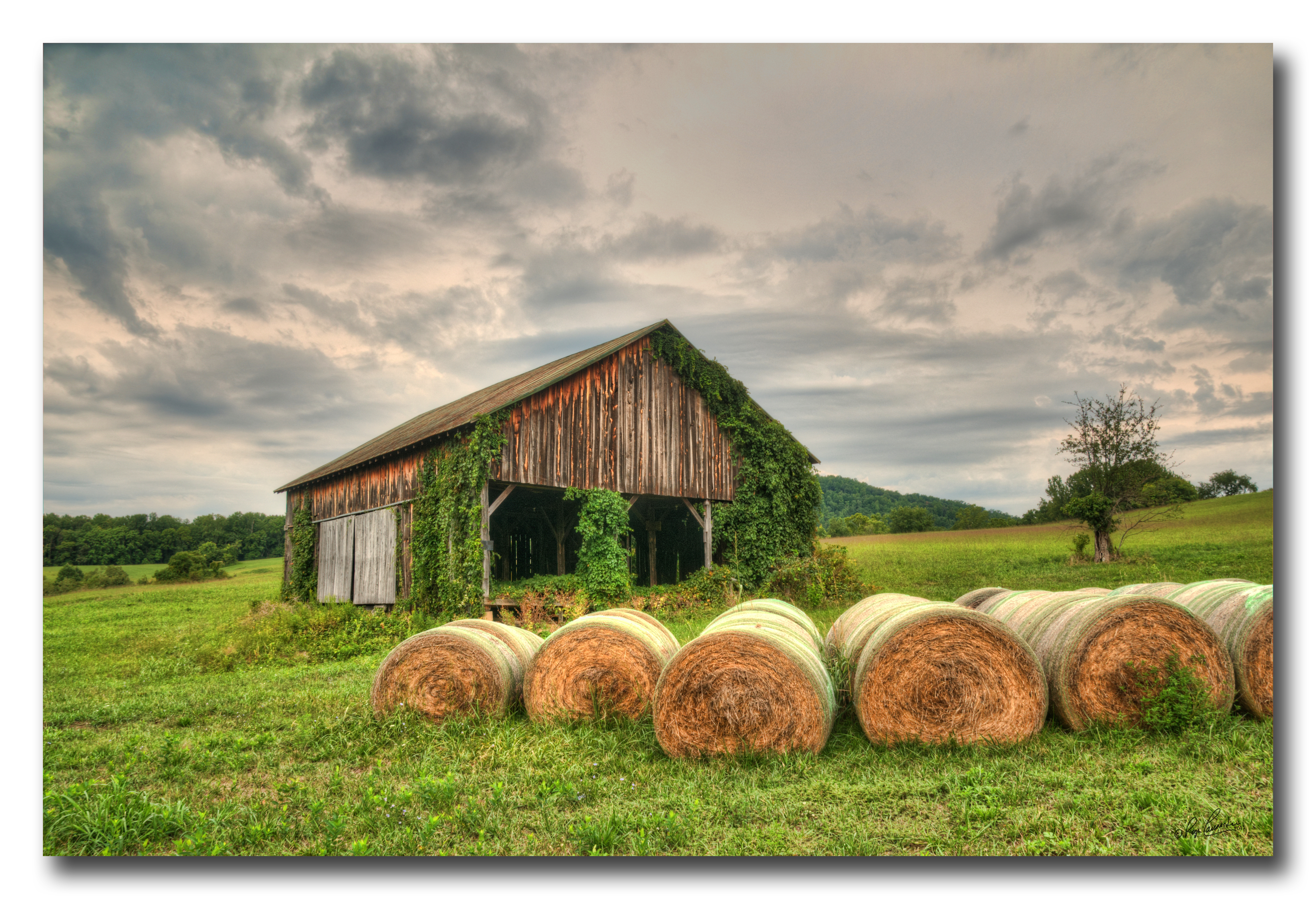
Virginia farm, Nov 2011 - 20
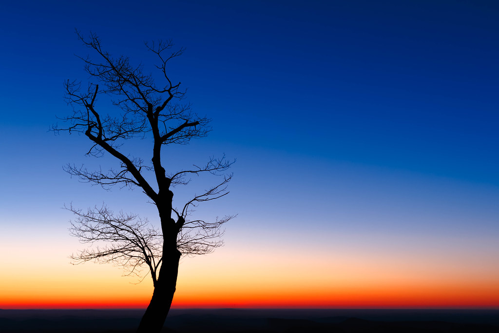
End of Night at Hazel Mountain Overlook

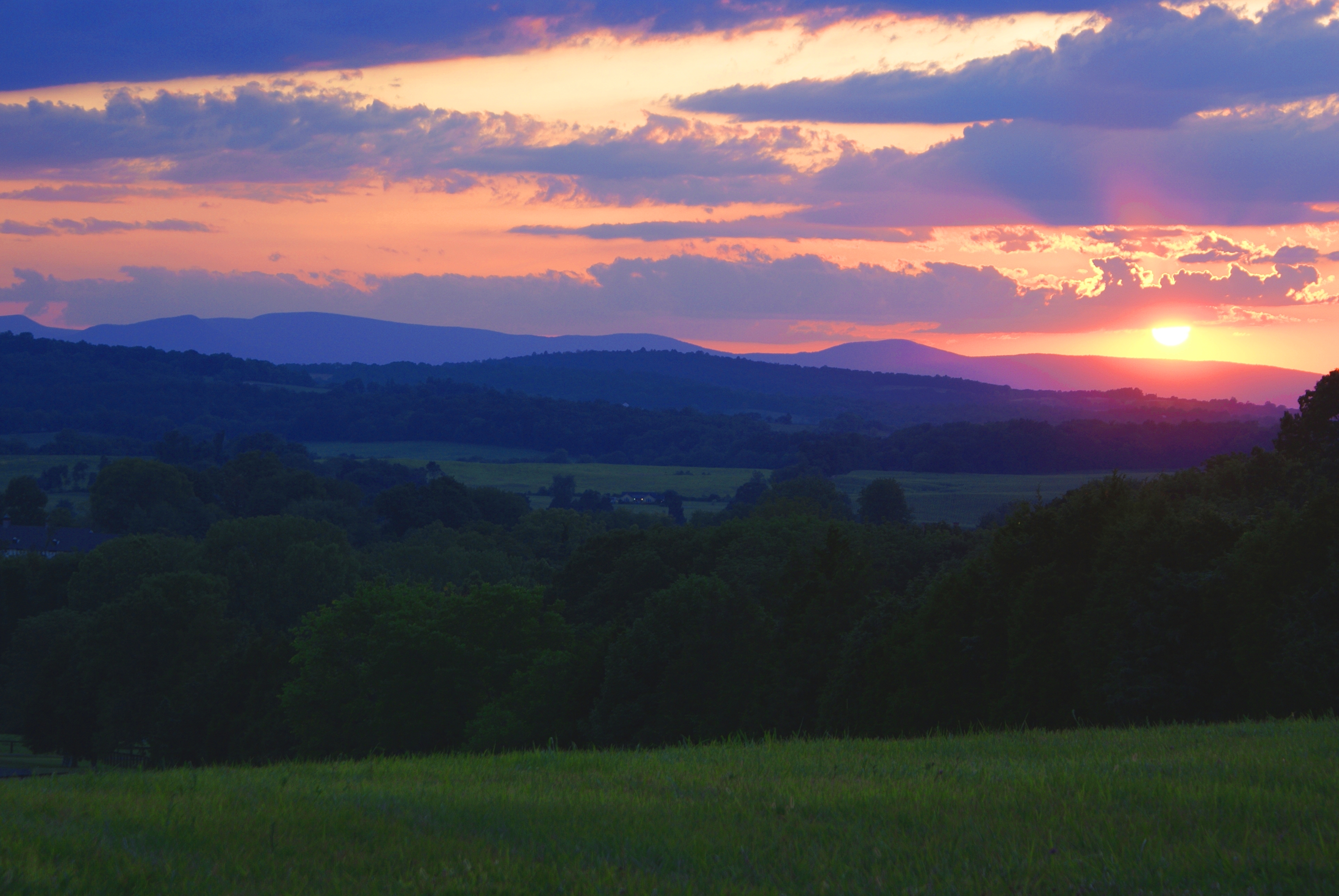
Distant Shenandoahs
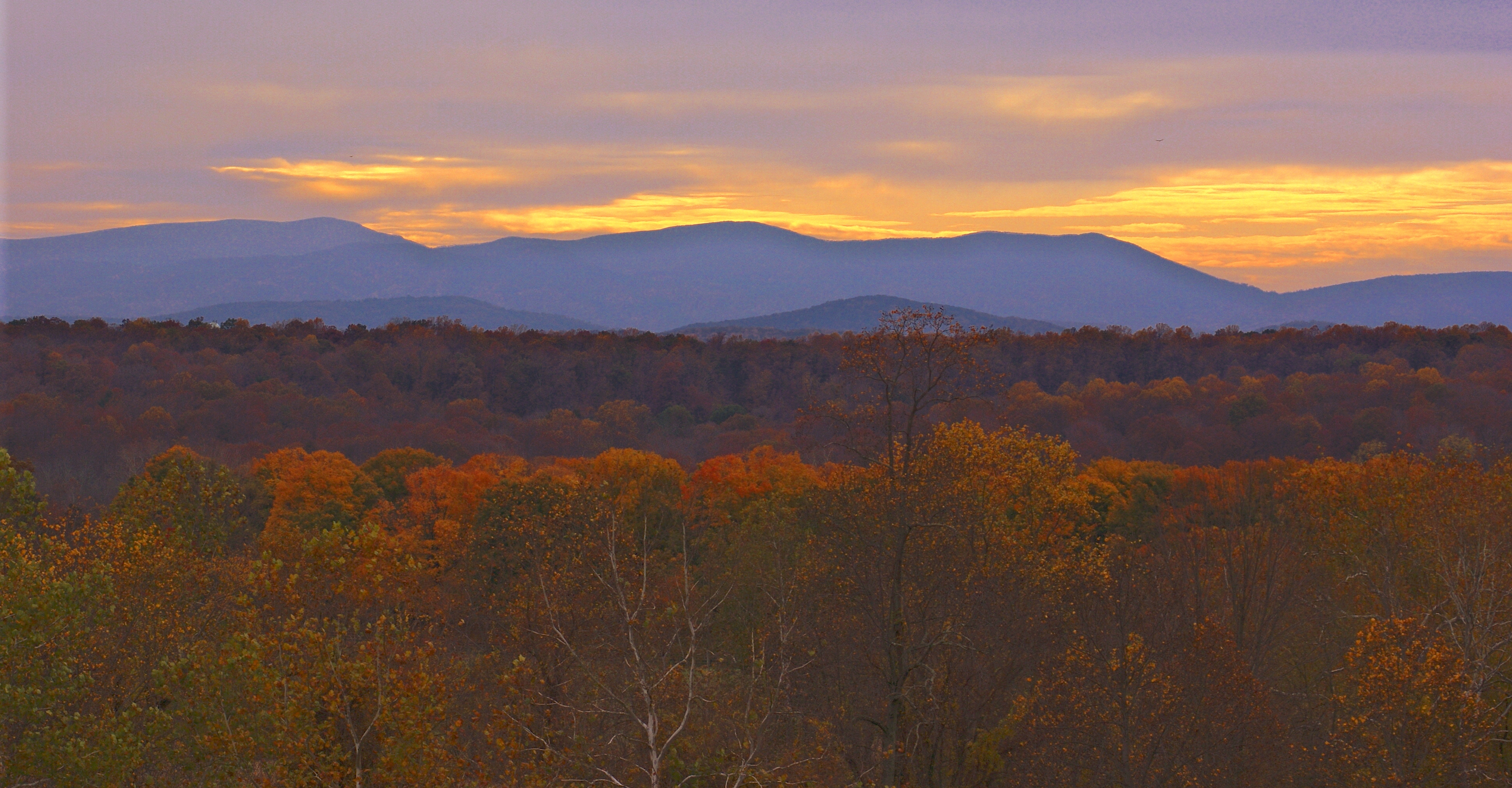
Distant Shenandoahs
Virginia farm, Nov 2011 - 25
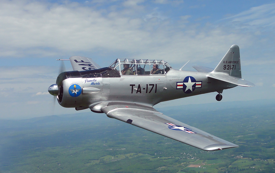
T-6 air to air

Rayus C01 Logo Side View

Massies Corner July 2010

Kaonashi!
Gorgeous Up Here
Texan 1
Farm near Flint Hill VA
Day 289--10/15/12: Monday at work
Lees Ridge

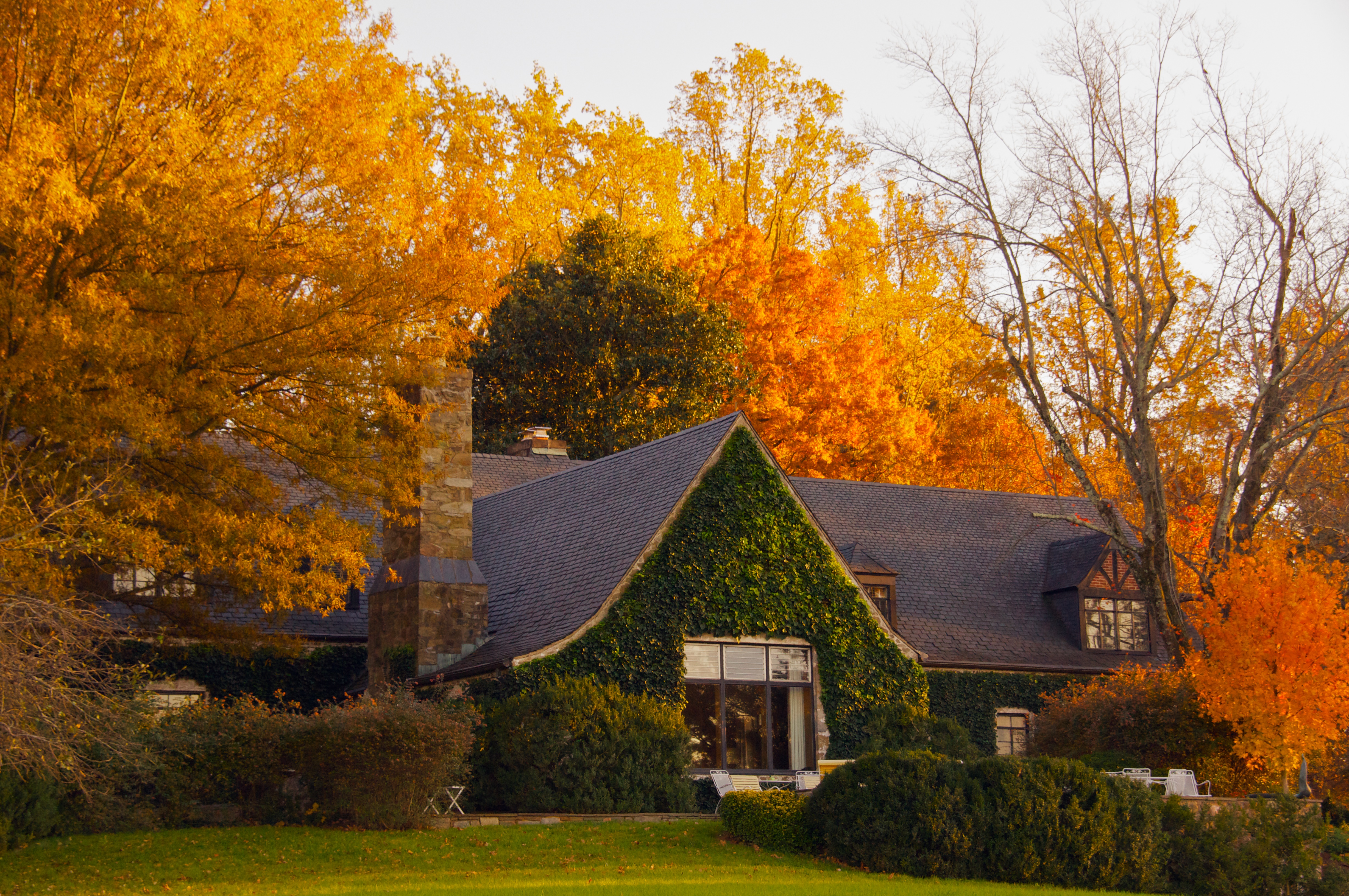
High Meadow Farm, circa 1780, Flint Hill, VA
Old Barn Day...#1
North Wales Farm
Winter Pond
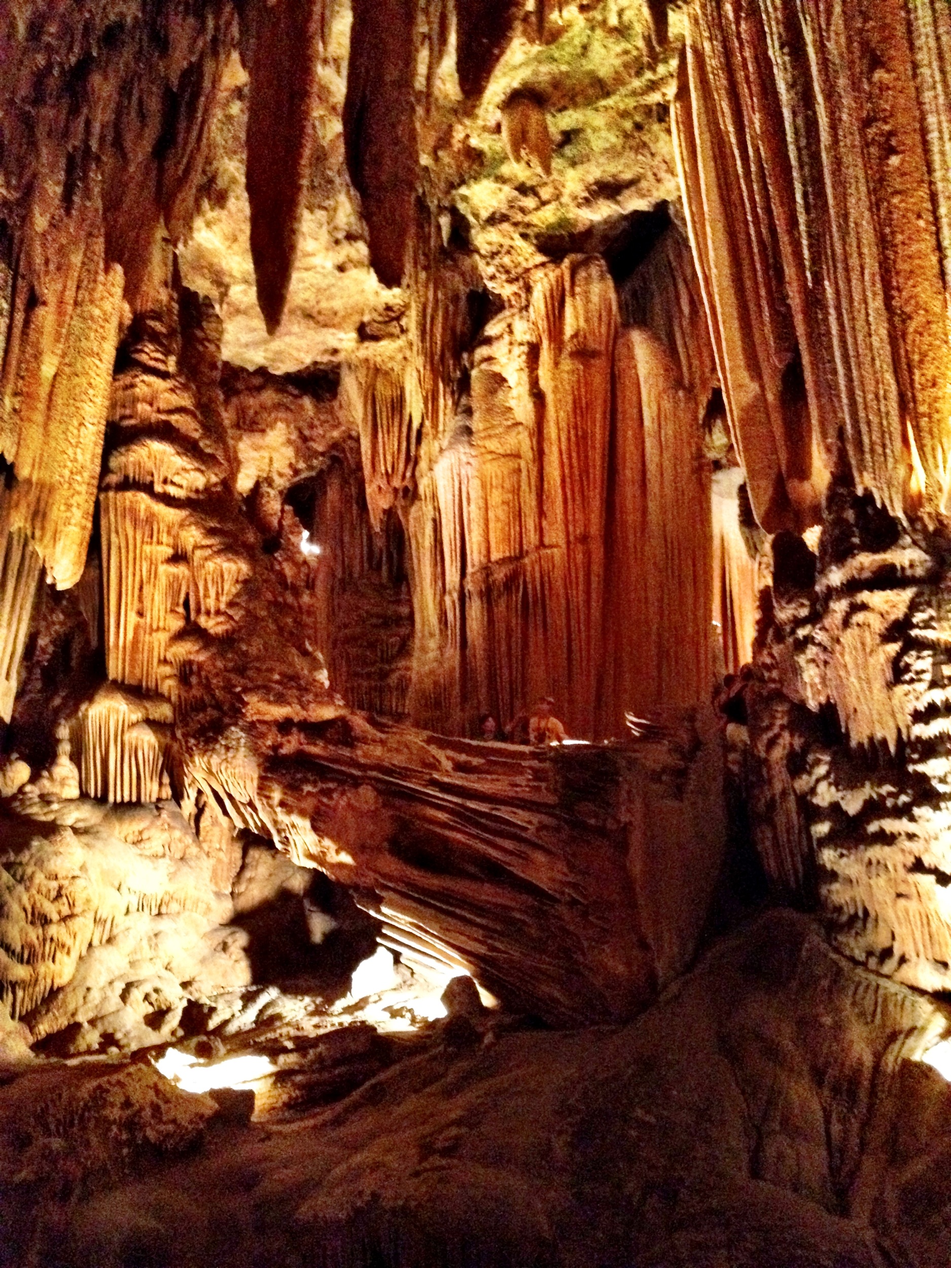
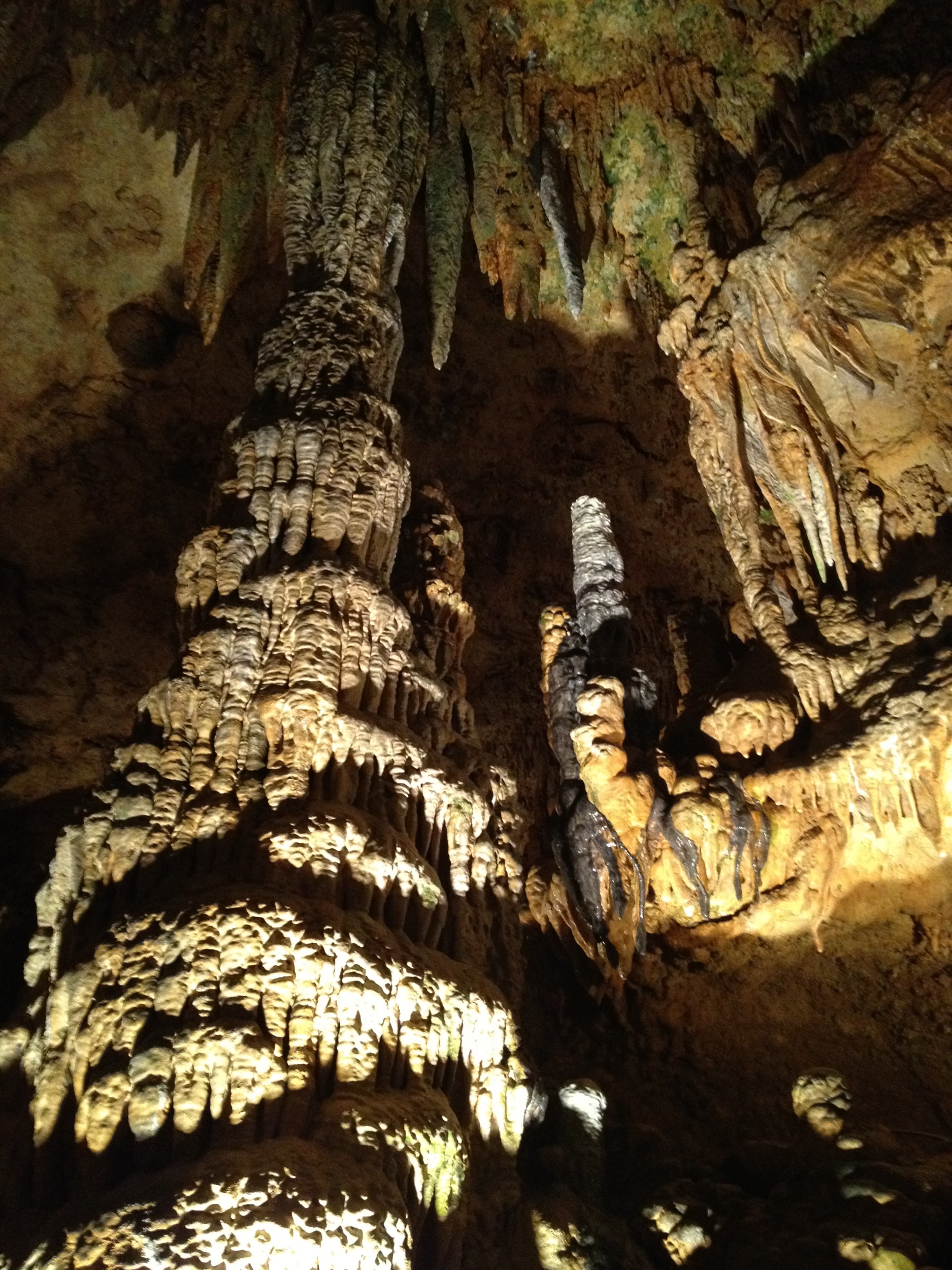
Luray Caverns

Luray Caverns
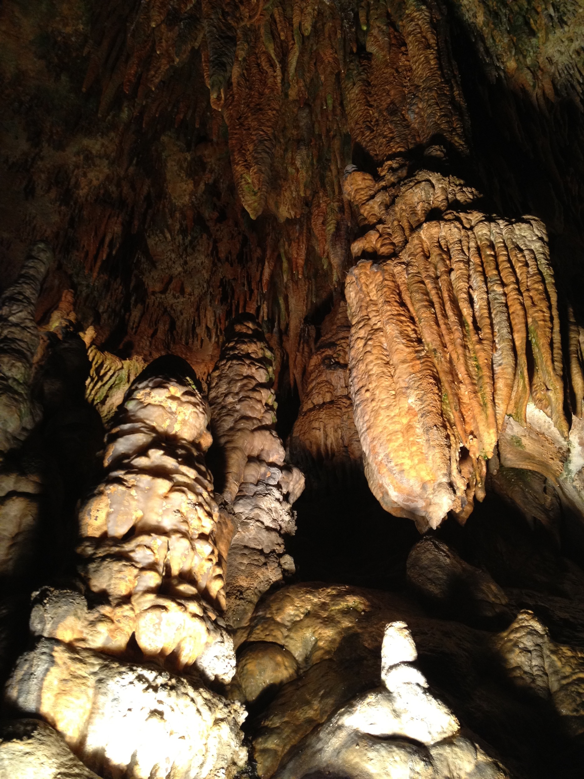
Luray Cavern
Luray Caverns
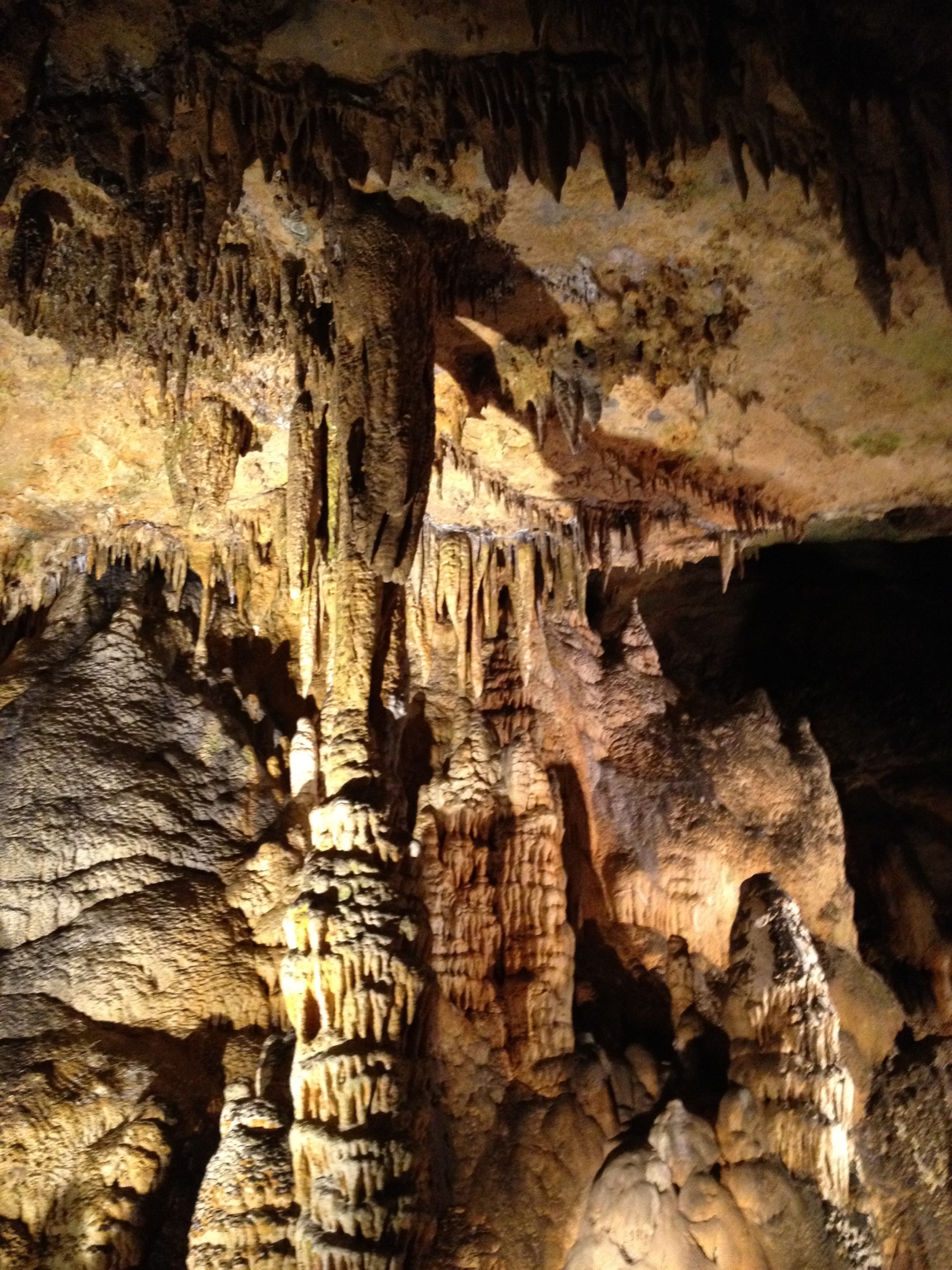
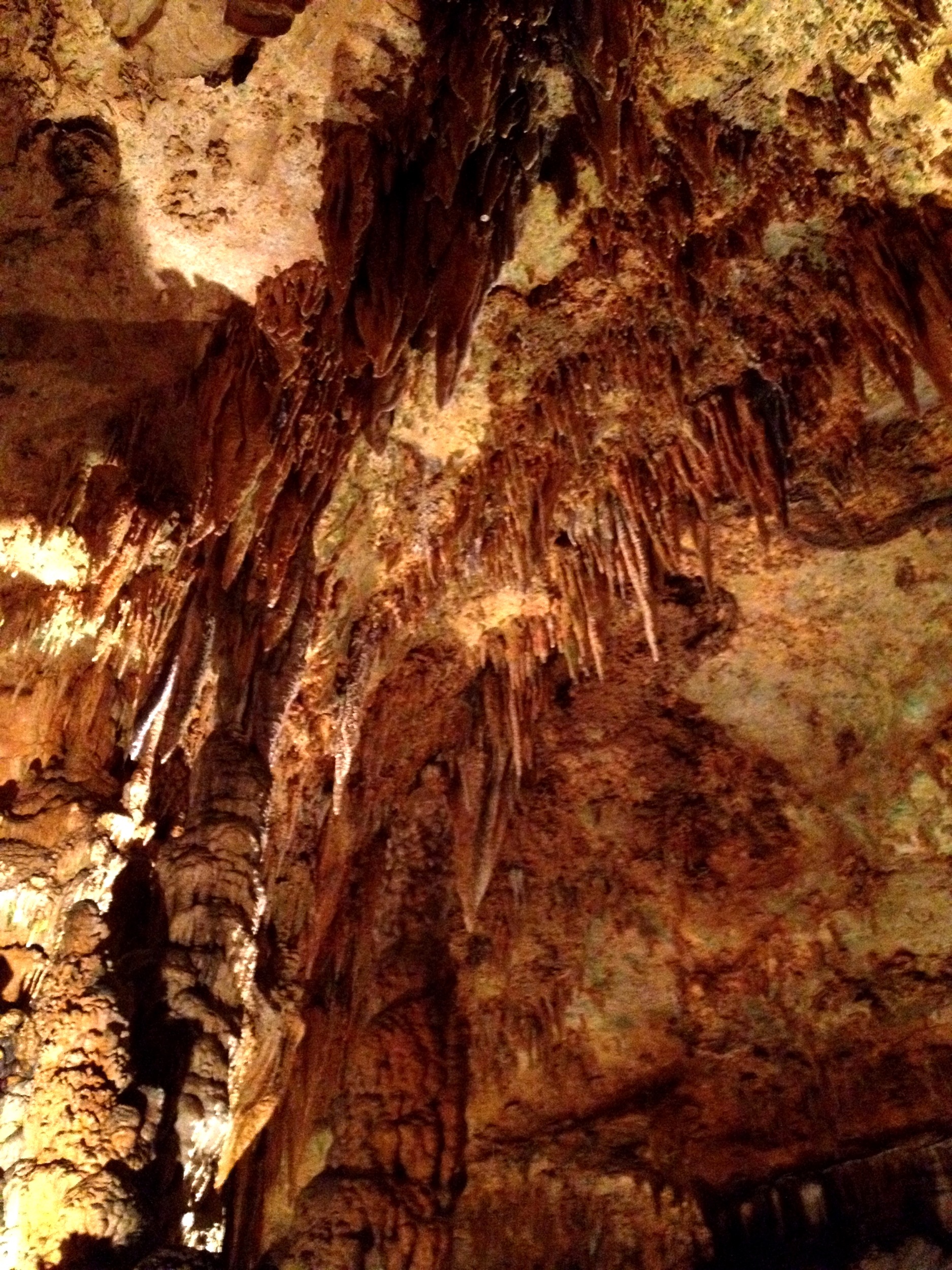
Luray Cavern

Crossing the ford on Battle Run stream
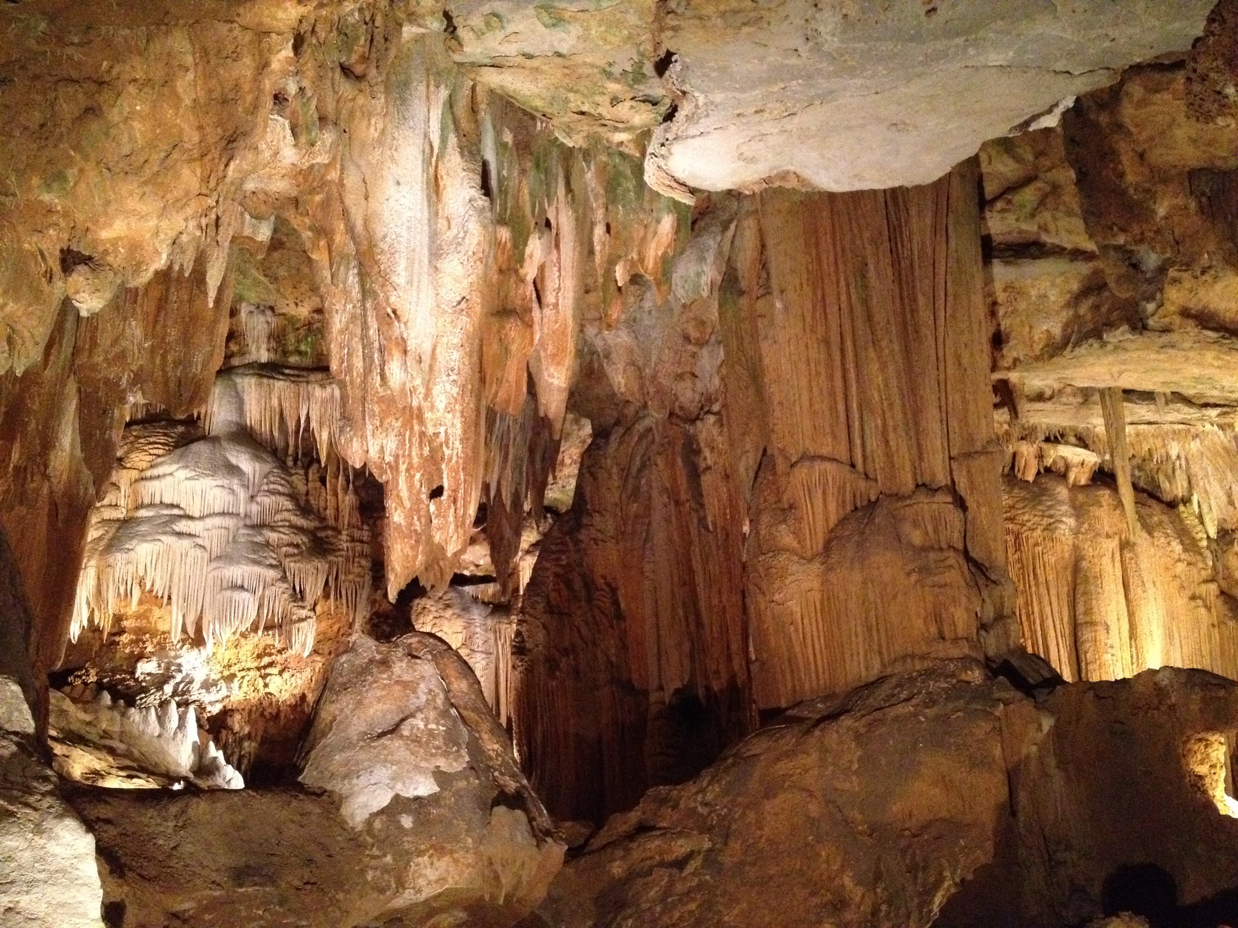
Luray Cavern
Luray Cavern

Benzinger Pond
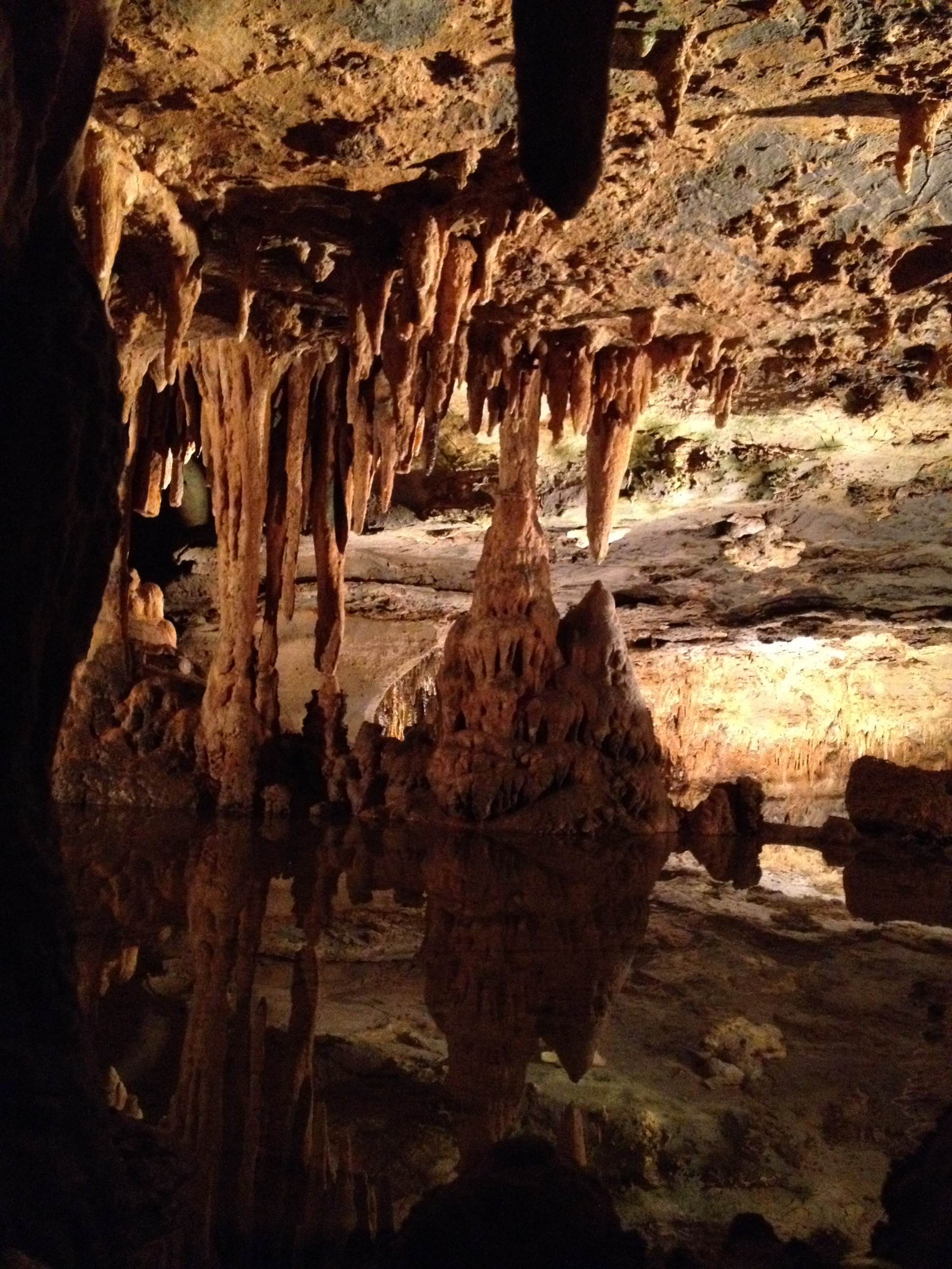
Luray Caverns
Topographic Map of Covey Circle, Covey Cir, Jefferson, VA, USA
Find elevation by address:

Places near Covey Circle, Covey Cir, Jefferson, VA, USA:
16345 Quail Ridge Dr
3184 Somerset Dr
6186 Sheads Ln
17165 Stoneleigh Pl
3459 Waterford Rd
17296 Kettlebrook Landing
Amissville
Lee Hwy, Amissville, VA, USA
Durham Pl, Jeffersonton, VA, USA
Jeffersonton
7264 Deer View Trail
7580 Rixeyville Rd
Jefferson
4117 Queens Ln
Ida Belle Lane
62 Dodson Rd
62 Dodson Rd
62 Dodson Rd
Rixeyville
Colvin Brothers Lane
Recent Searches:
- Elevation of Warwick, RI, USA
- Elevation of Fern Rd, Whitmore, CA, USA
- Elevation of 62 Abbey St, Marshfield, MA, USA
- Elevation of Fernwood, Bradenton, FL, USA
- Elevation of Felindre, Swansea SA5 7LU, UK
- Elevation of Leyte Industrial Development Estate, Isabel, Leyte, Philippines
- Elevation of W Granada St, Tampa, FL, USA
- Elevation of Pykes Down, Ivybridge PL21 0BY, UK
- Elevation of Jalan Senandin, Lutong, Miri, Sarawak, Malaysia
- Elevation of Bilohirs'k