Elevation of Stoneleigh Pl, Jeffersonton, VA, USA
Location: United States > Virginia > Culpeper County > Jefferson > Jeffersonton >
Longitude: -77.935619
Latitude: 38.667529
Elevation: 136m / 446feet
Barometric Pressure: 100KPa
Elevation Map:
Satellite Map:
Related Photos:

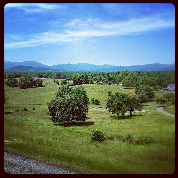
Virginia farm, Nov 2011 - 20

Distant Shenandoahs

End of Night at Hazel Mountain Overlook

Distant Shenandoahs

Virginia farm, Nov 2011 - 25
View from mom's balcony

Rayus C01 Logo Side View

Side view of the 9-7X Aero

MBA Opening Residency

Southern View Of Fauquier County Courthouse

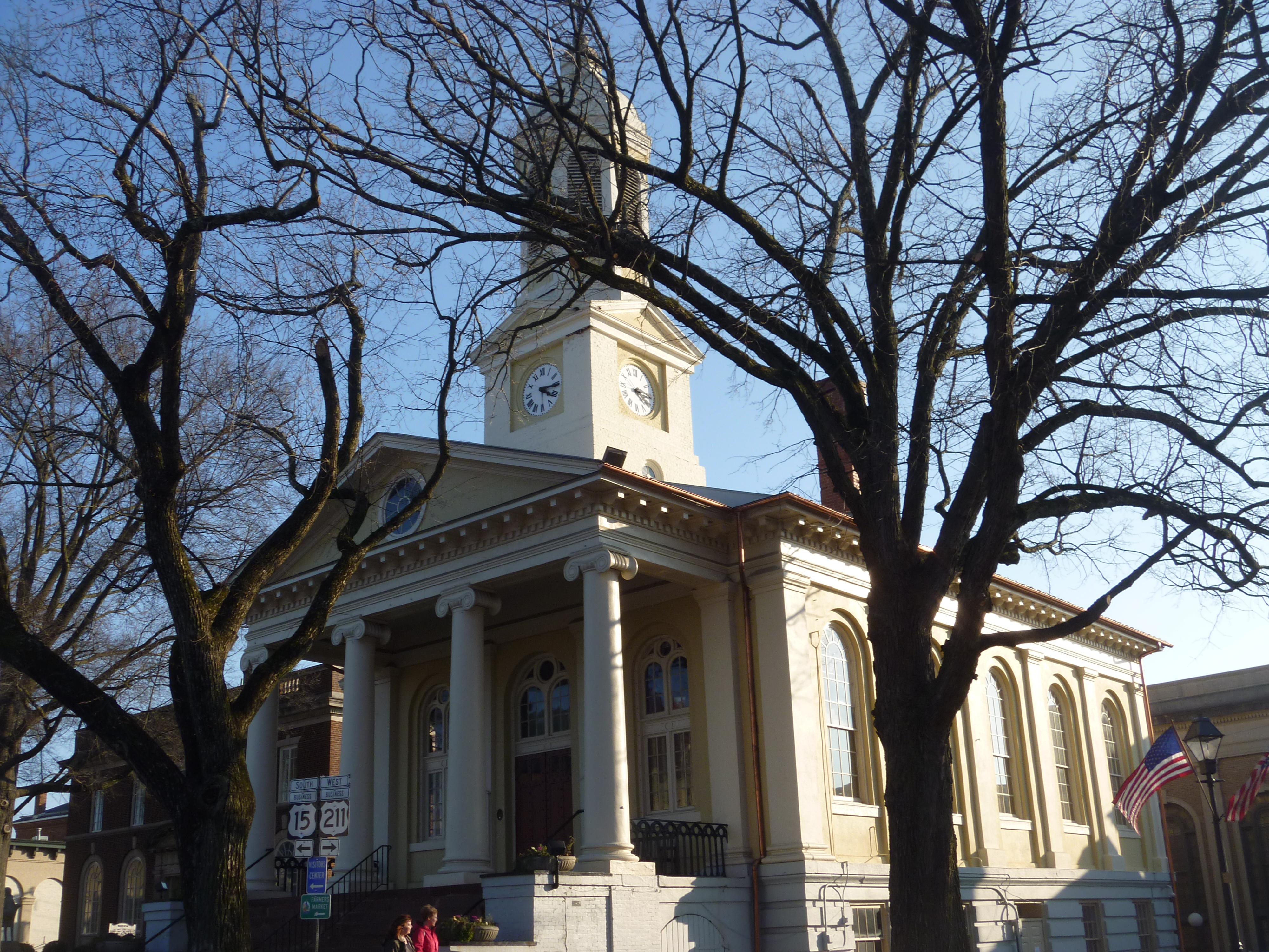
Eastern View Of The Clocktower/Cupola Of The Fauquier County Courthouse

The Warren Green in Warrenton, Virginia
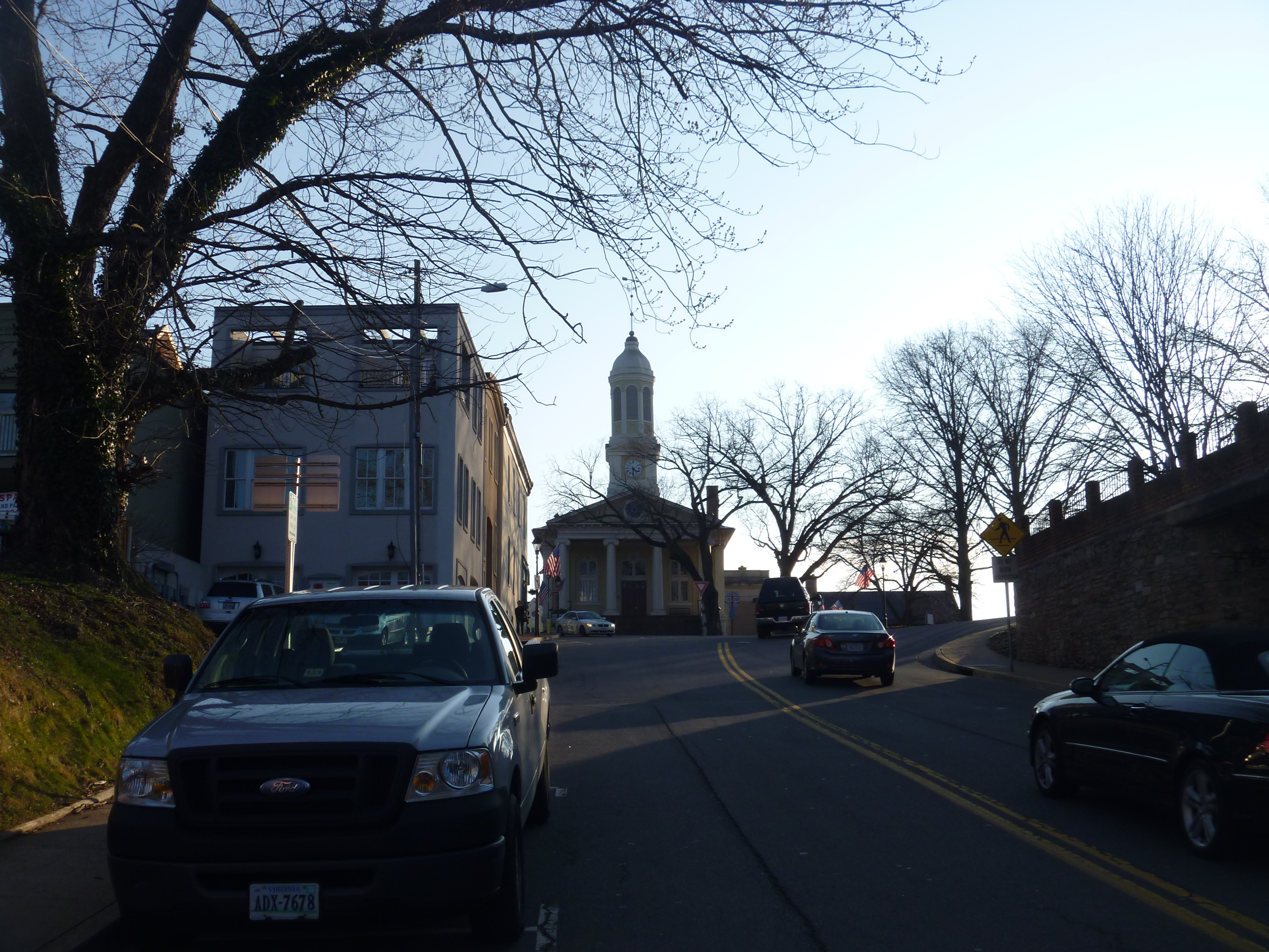
Distant View Of Fauquier County Courthouse
Western View Of Fauquier County Courthouse

Sky Meadows Beauty

Tucquan Glen Nature Preserve in Lancaster County, Pa.

T-6 air to air

Watching over the farm...

High Meadow Farm, circa 1780, Flint Hill, VA

North Wales Farm

Crossing the ford on Battle Run stream

Luray Caverns

Blue Ridge Mountains from US 211 Highway in Virginia

503594230664871850_3843353420160113-32191-1rhpivm

Luray Cavern

Luray Cavern

Orlean, Virginia

Luray Cavern

336/365: Friday, December 02, 2011: Fauquier, Virginia

Luray Caverns

Luray Caverns

Luray Cavern

Luray Cavern

20090808 01 Unicorn Winery Grounds
Topographic Map of Stoneleigh Pl, Jeffersonton, VA, USA
Find elevation by address:

Places near Stoneleigh Pl, Jeffersonton, VA, USA:
17296 Kettlebrook Landing
3184 Somerset Dr
Durham Pl, Jeffersonton, VA, USA
16345 Quail Ridge Dr
Covey Circle
Jeffersonton
4117 Queens Ln
6186 Sheads Ln
Amissville
Turnbull Road
Lee Hwy, Amissville, VA, USA
7264 Deer View Trail
3459 Waterford Rd
Turnbull
Jefferson
7580 Rixeyville Rd
8283 Opal Rd
Ida Belle Lane
Rixeyville
62 Dodson Rd
Recent Searches:
- Elevation of Congressional Dr, Stevensville, MD, USA
- Elevation of Bellview Rd, McLean, VA, USA
- Elevation of Stage Island Rd, Chatham, MA, USA
- Elevation of Shibuya Scramble Crossing, 21 Udagawacho, Shibuya City, Tokyo -, Japan
- Elevation of Jadagoniai, Kaunas District Municipality, Lithuania
- Elevation of Pagonija rock, Kranto 7-oji g. 8"N, Kaunas, Lithuania
- Elevation of Co Rd 87, Jamestown, CO, USA
- Elevation of Tenjo, Cundinamarca, Colombia
- Elevation of Côte-des-Neiges, Montreal, QC H4A 3J6, Canada
- Elevation of Bobcat Dr, Helena, MT, USA