Elevation of Tumbling Creek Rd, Saltville, VA, USA
Location: United States > Virginia > Washington County > Jefferson > Saltville >
Longitude: -81.848603
Latitude: 36.870711
Elevation: 599m / 1965feet
Barometric Pressure: 94KPa
Elevation Map:
Satellite Map:
Related Photos:

John Burk 2
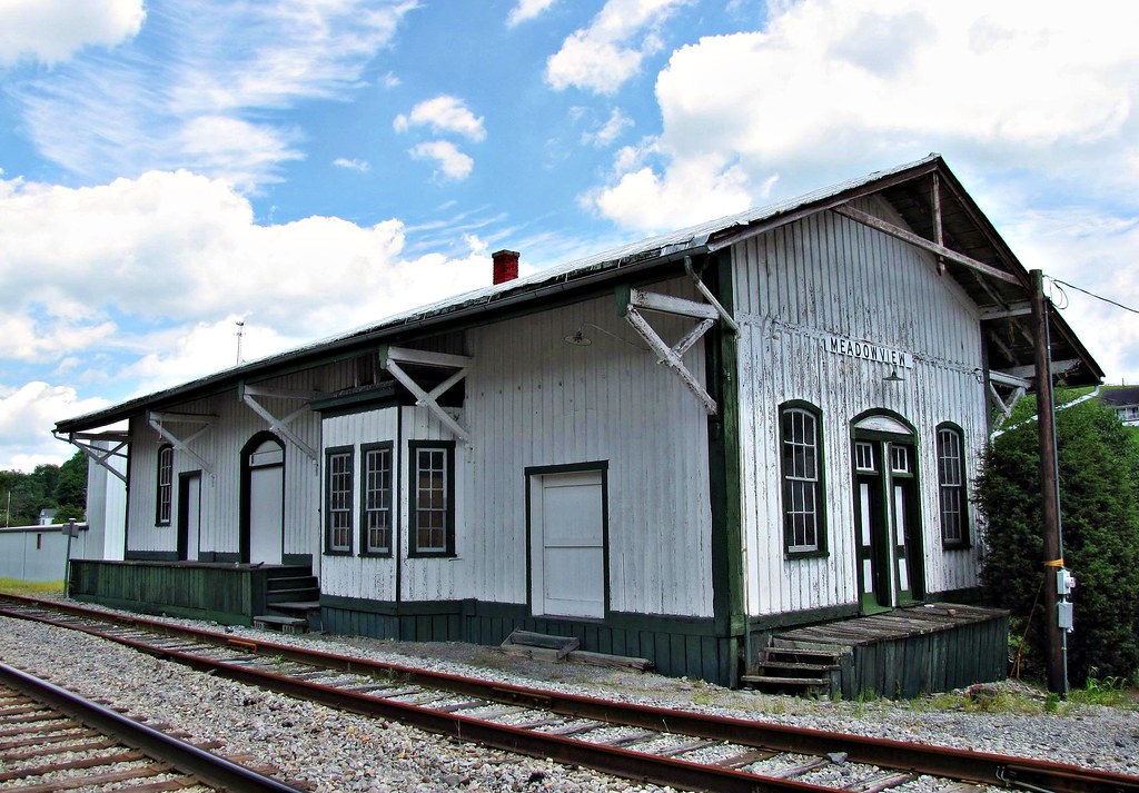
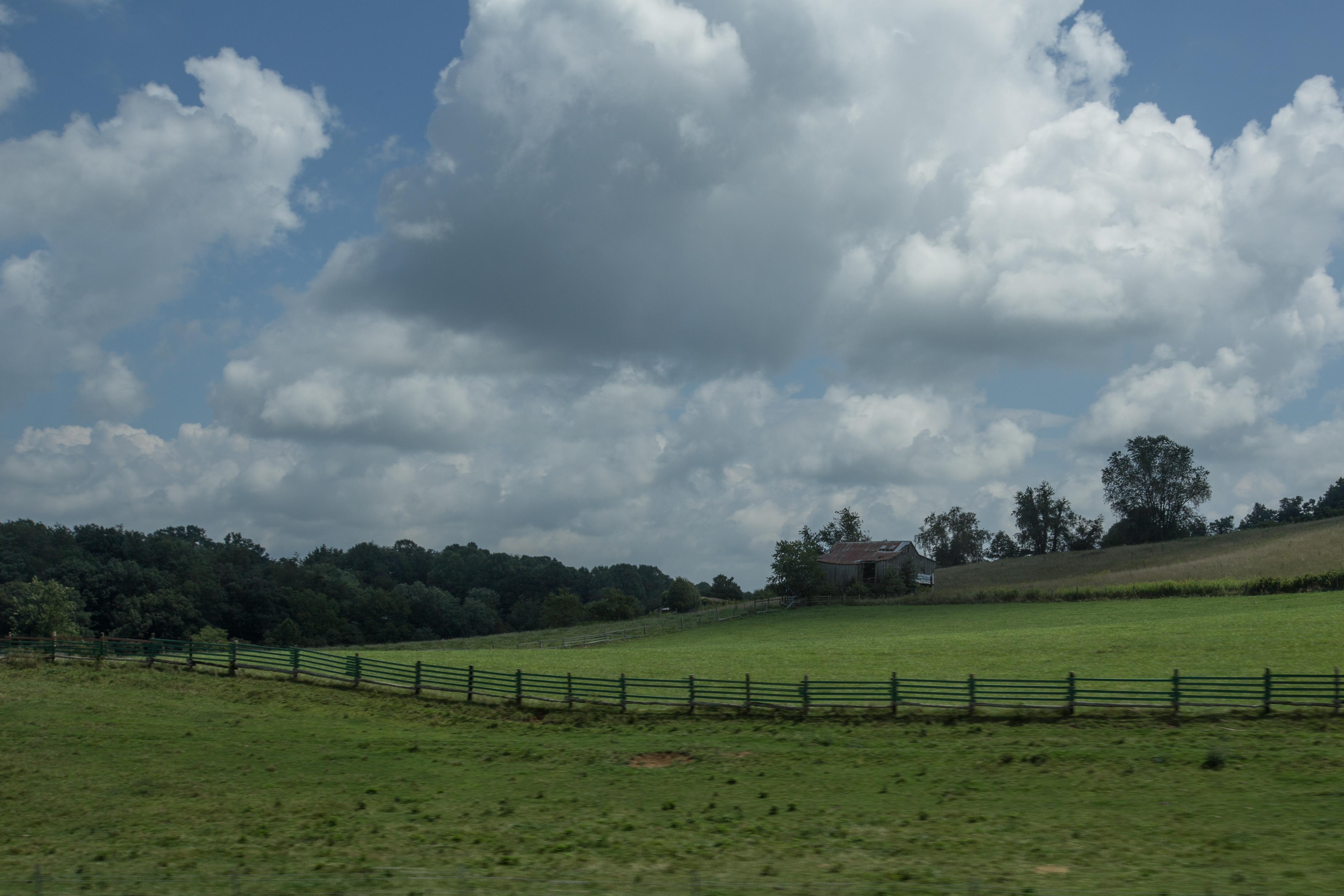
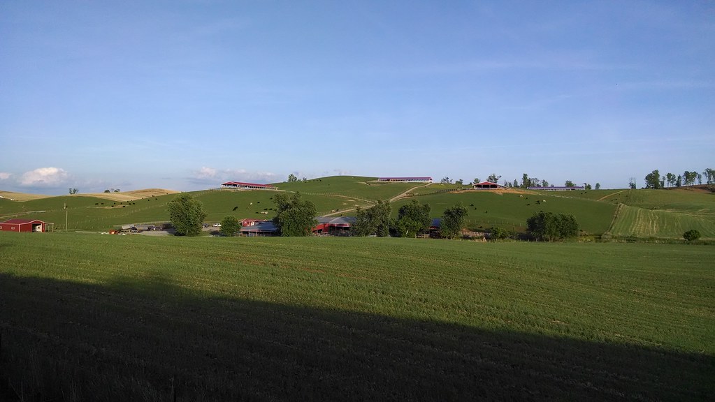
Meadowview, Virginia
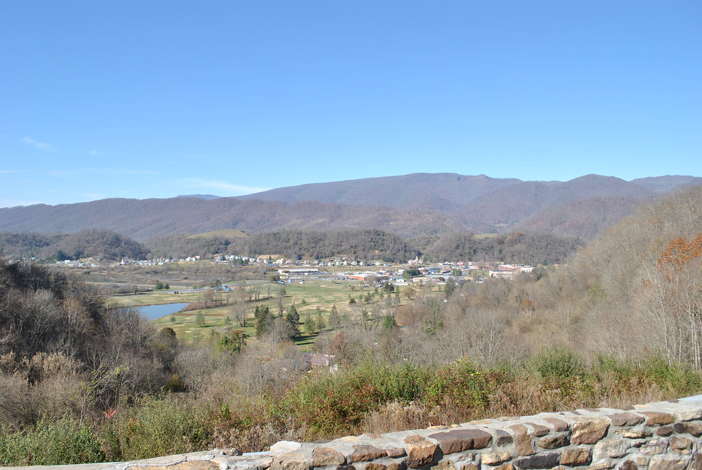
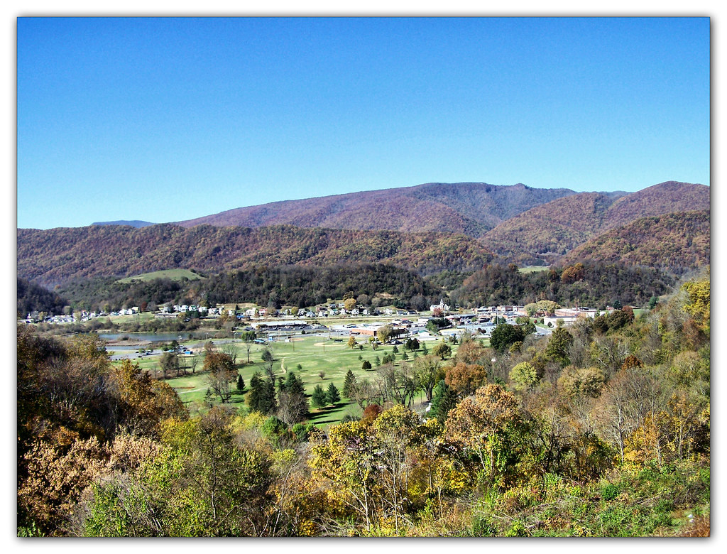
SALTVILLE OVERLOOK
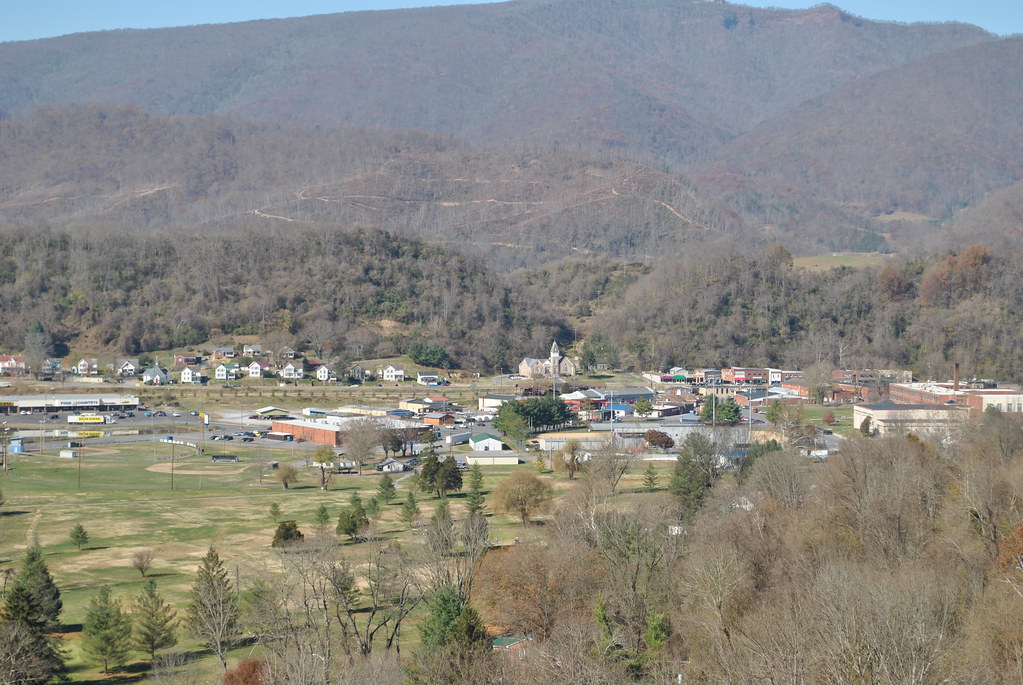
SALTVILLE OVERLOOK
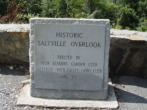
SALTVILLE OVERLOOK
IMG_2853.jpg
IMG_2845.jpg
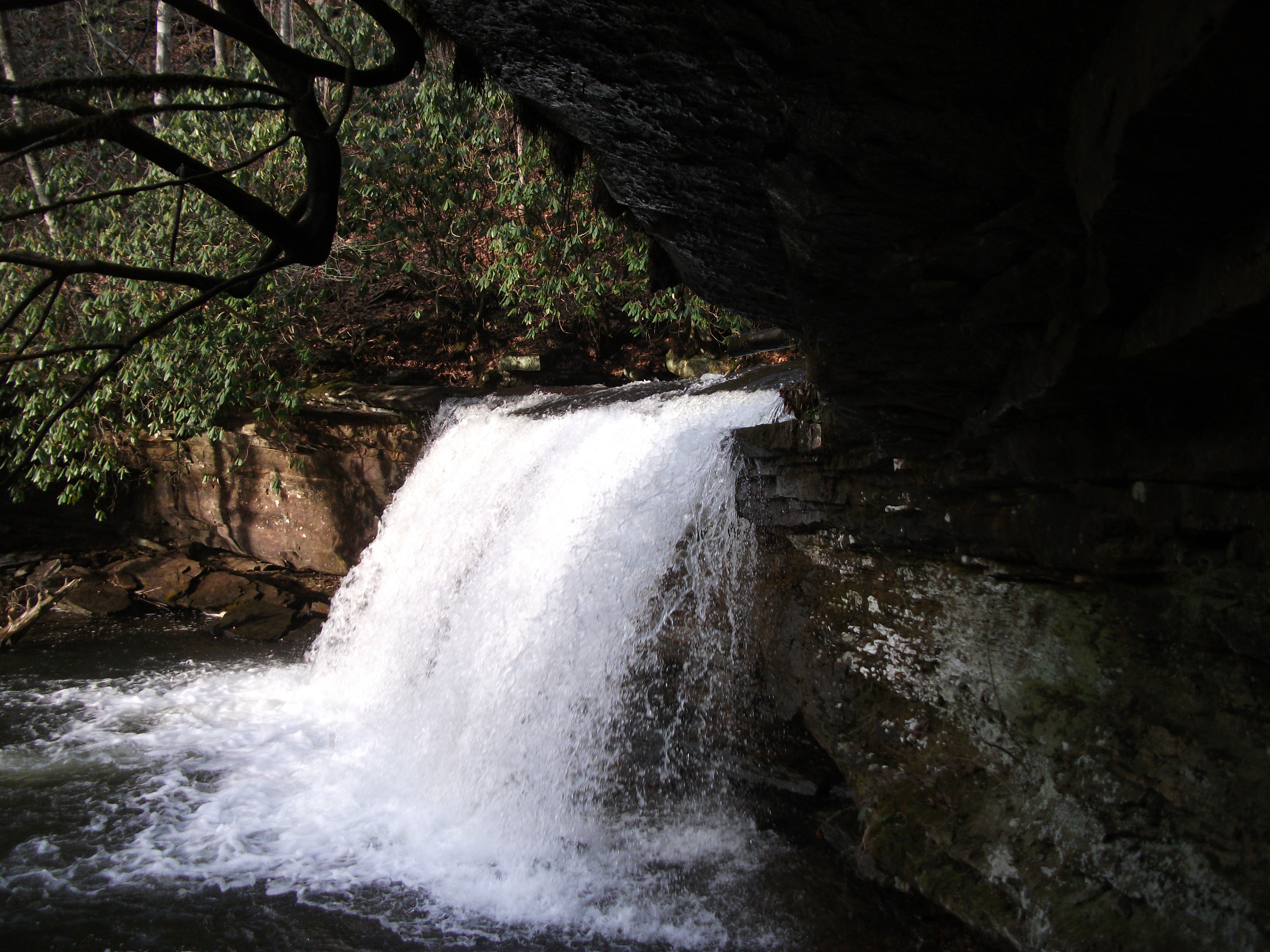
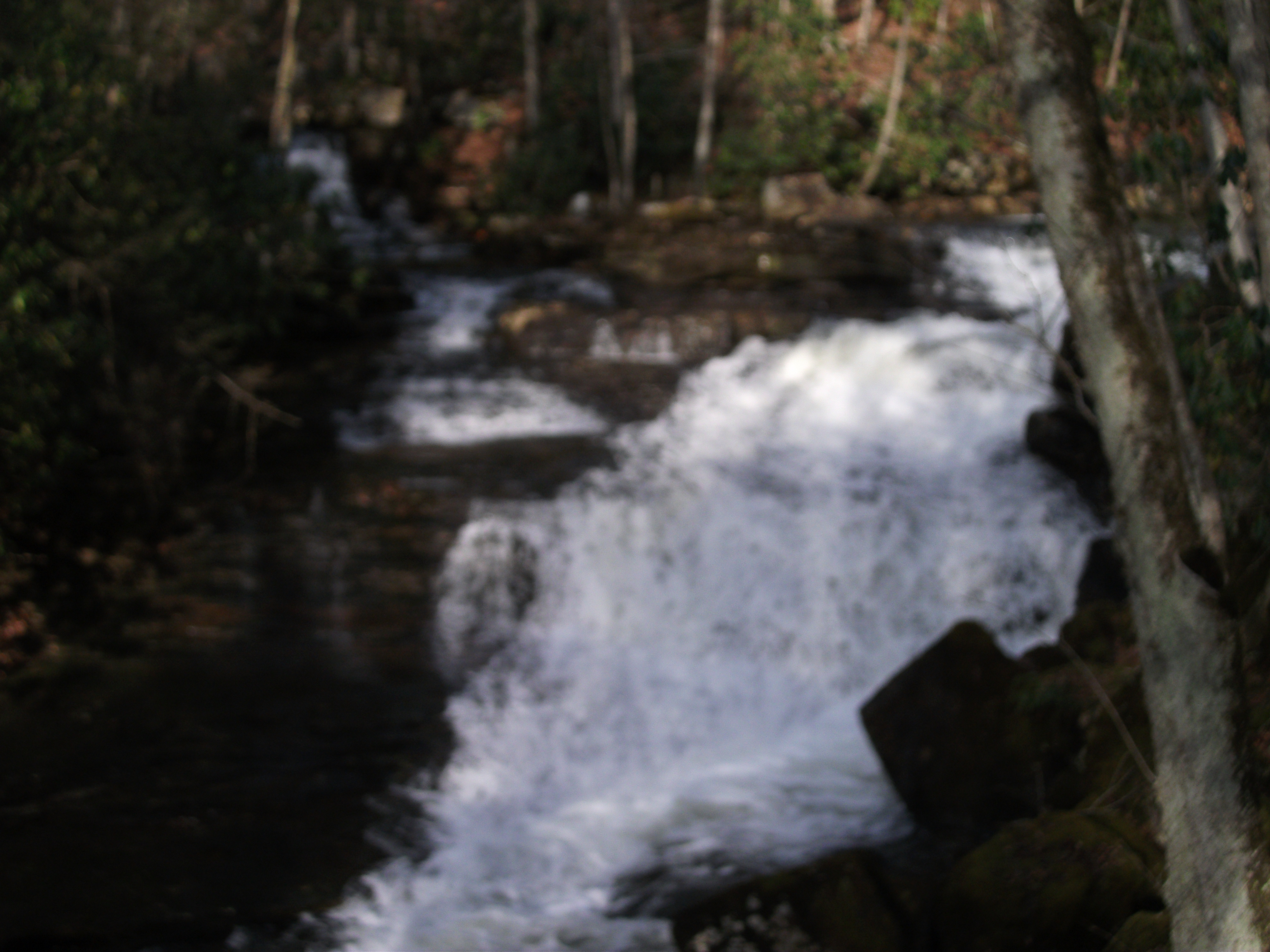
Little Tumbling Falls
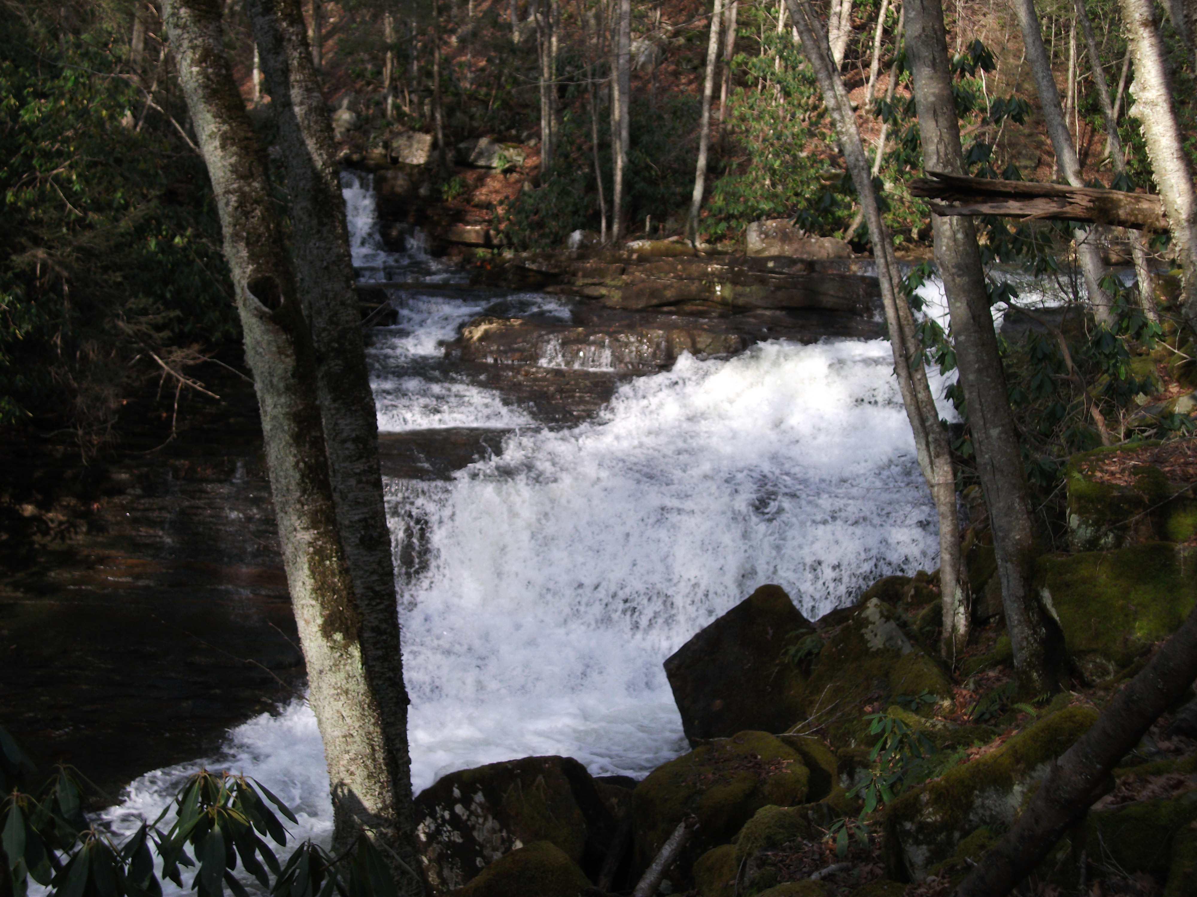
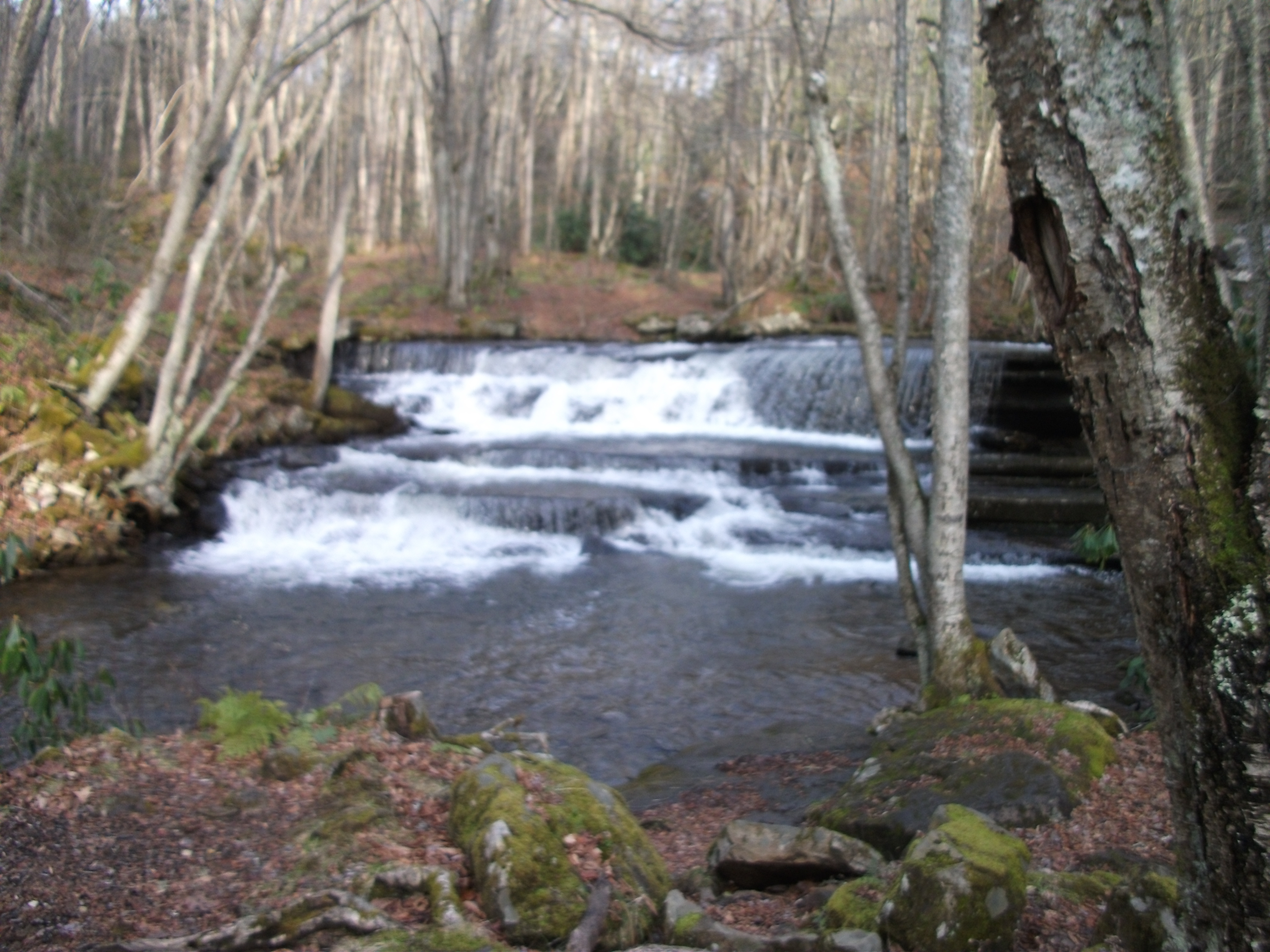
Twin Hollow Falls
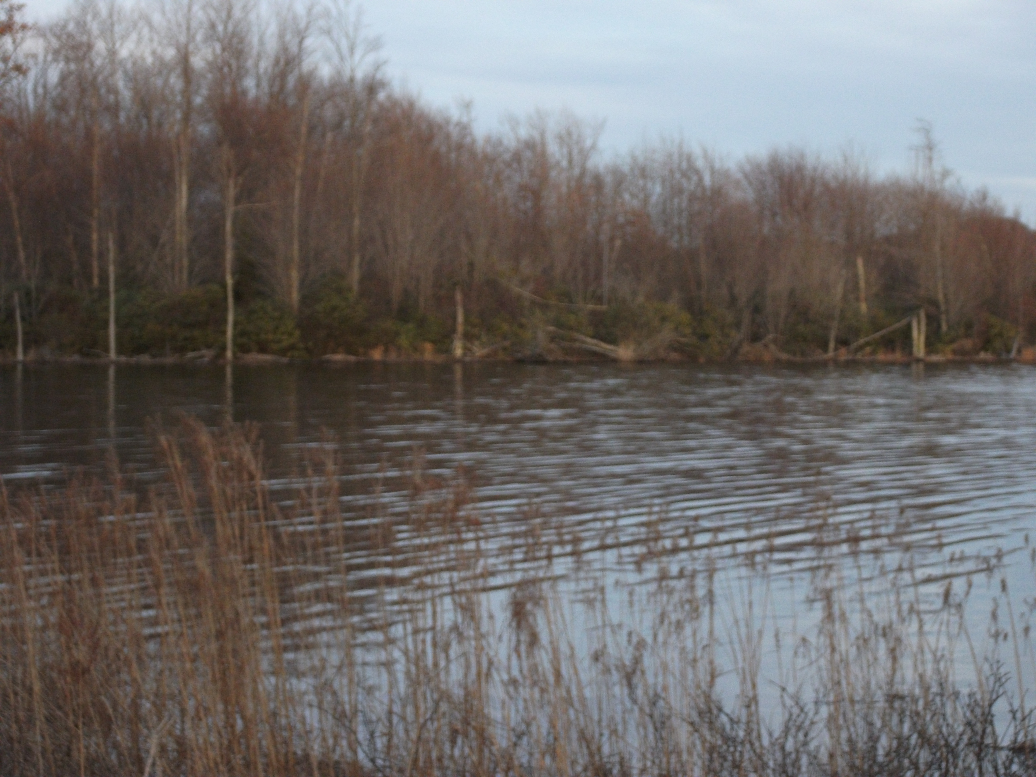
Laurel Bed Lake
Twin Hollow Falls
IMG_2854.jpg
Little Tumbling Falls
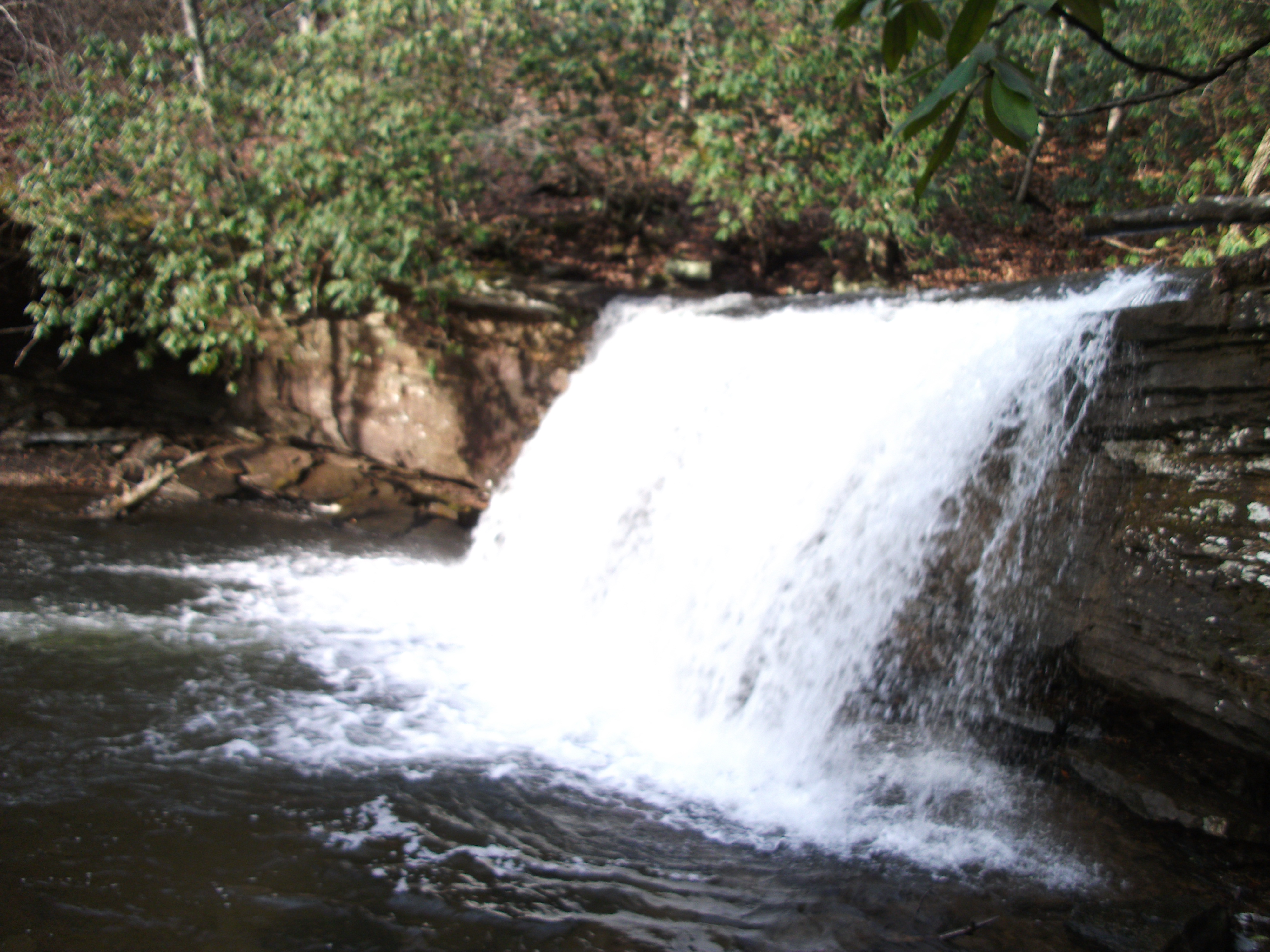
Little Tumbling Falls
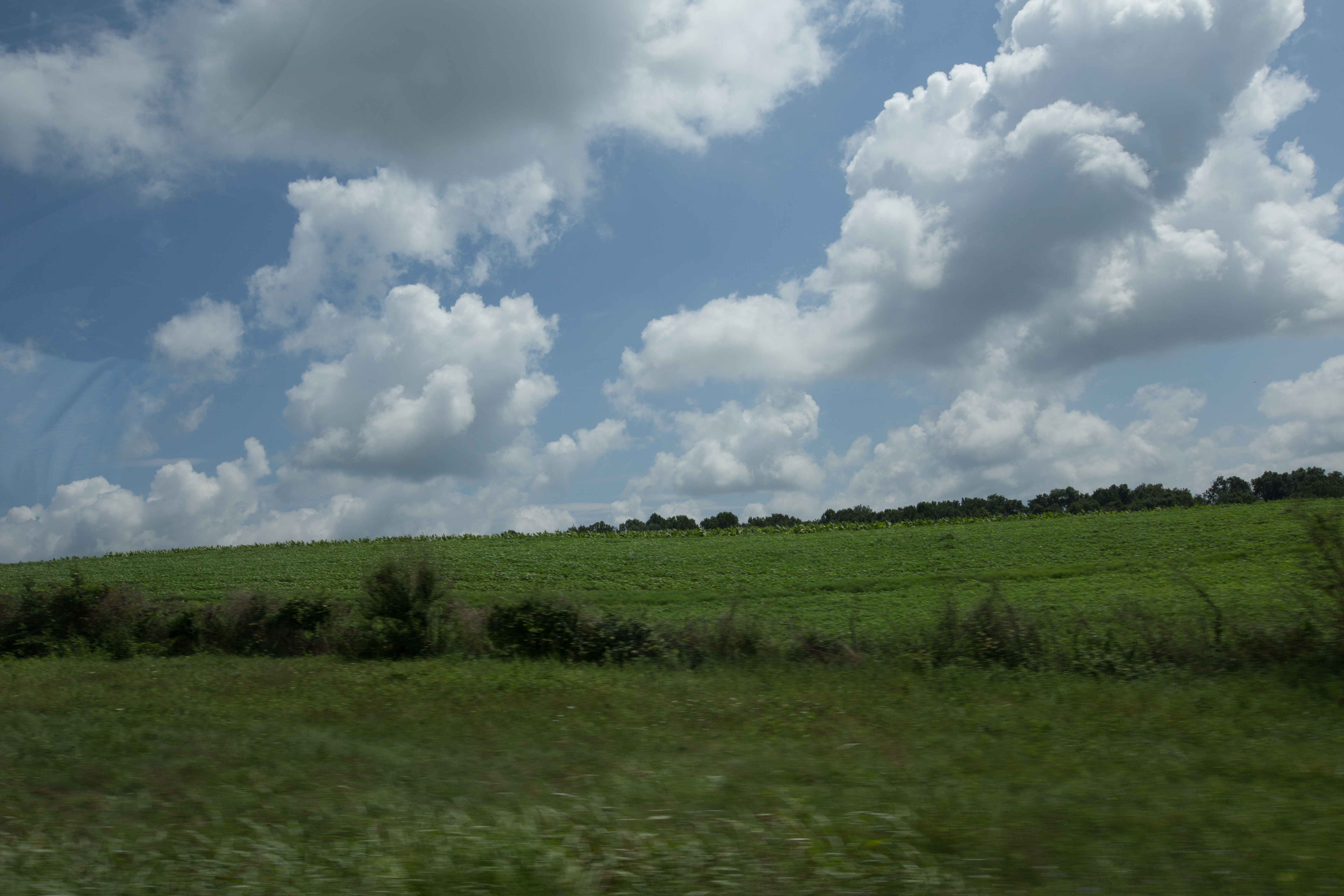
Scenery near Glade Spring
Twin Hollow Falls
Saltville, Virginia
Topographic Map of Tumbling Creek Rd, Saltville, VA, USA
Find elevation by address:

Places near Tumbling Creek Rd, Saltville, VA, USA:
Poor Valley Road
28536 Poor Valley Rd
Pearl Drive
28604 N Fork River Rd
Rich Valley Rd, Meadowview, VA, USA
27184 N Fork River Rd
9231 Stillmeadows Ln
Chestnut Ridge
26436 N Fork River Rd
Cove Street
8315 Buchanan Rd
Allison Gap Road
Blue Grass Trail
Old Mill Rd, Glade Spring, VA, USA
11391 Mt Calm Dr
Lindell
Saltville
11337 Poppy Ln
27158 Shortsville Rd
Mount Calm Drive
Recent Searches:
- Elevation of Groblershoop, South Africa
- Elevation of Power Generation Enterprises | Industrial Diesel Generators, Oak Ave, Canyon Country, CA, USA
- Elevation of Chesaw Rd, Oroville, WA, USA
- Elevation of N, Mt Pleasant, UT, USA
- Elevation of 6 Rue Jules Ferry, Beausoleil, France
- Elevation of Sattva Horizon, 4JC6+G9P, Vinayak Nagar, Kattigenahalli, Bengaluru, Karnataka, India
- Elevation of Great Brook Sports, Gold Star Hwy, Groton, CT, USA
- Elevation of 10 Mountain Laurels Dr, Nashua, NH, USA
- Elevation of 16 Gilboa Ln, Nashua, NH, USA
- Elevation of Laurel Rd, Townsend, TN, USA