Elevation of Cove Street, Cove St, Saltville, VA, USA
Location: United States > Virginia > Washington County > Jefferson > Saltville >
Longitude: -81.784088
Latitude: 36.897704
Elevation: 636m / 2087feet
Barometric Pressure: 94KPa
Elevation Map:
Satellite Map:
Related Photos:

John Burk 2
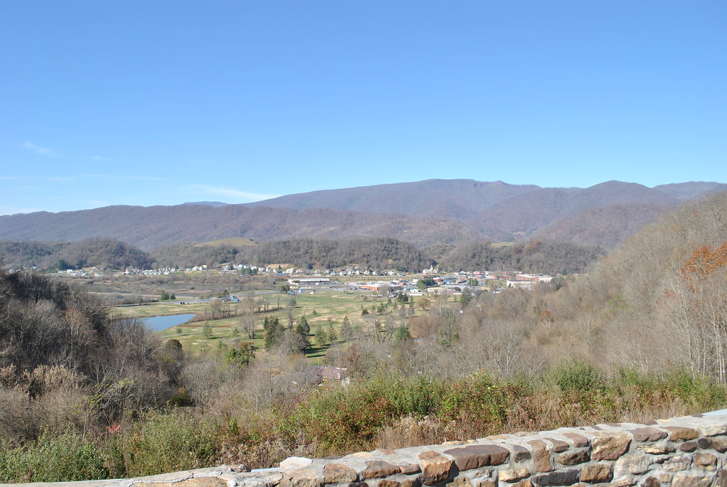
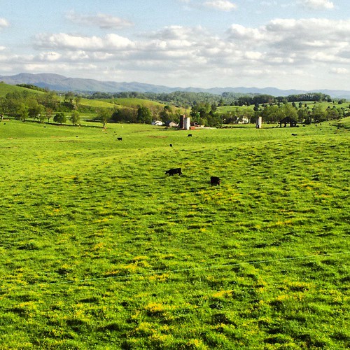
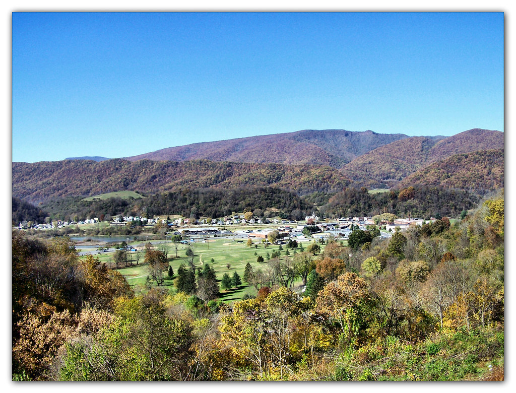
SALTVILLE OVERLOOK
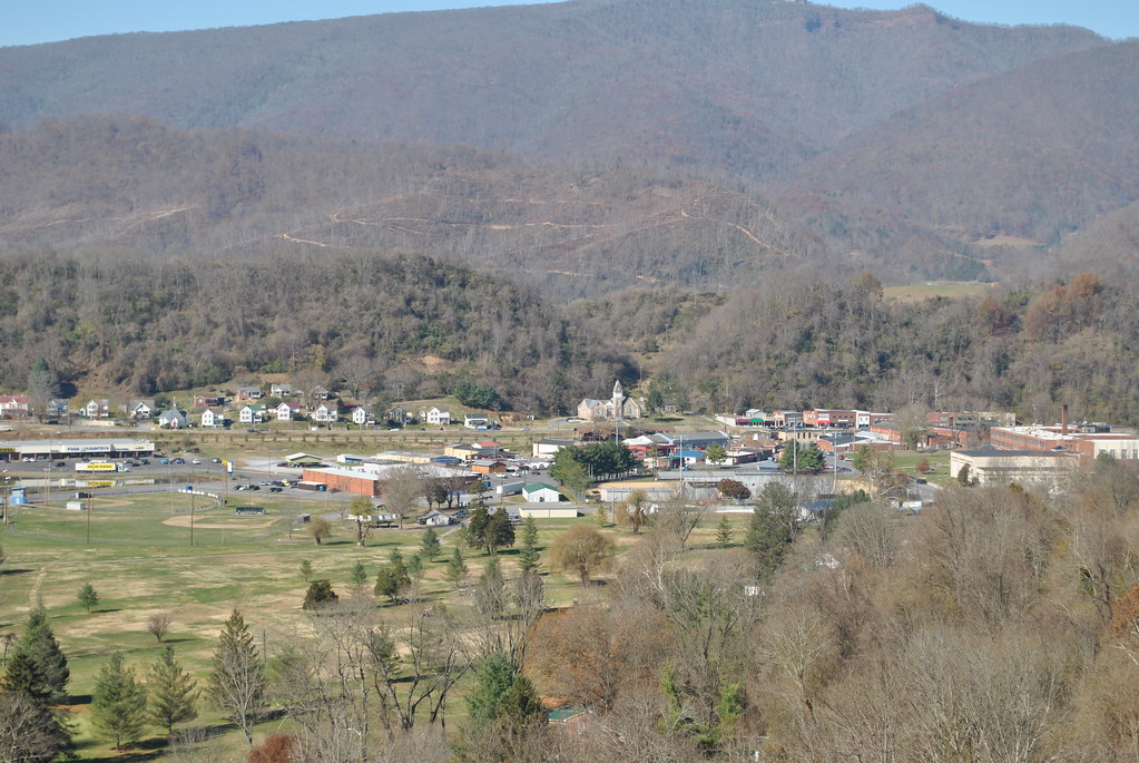
SALTVILLE OVERLOOK
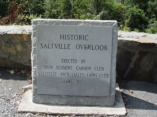
SALTVILLE OVERLOOK
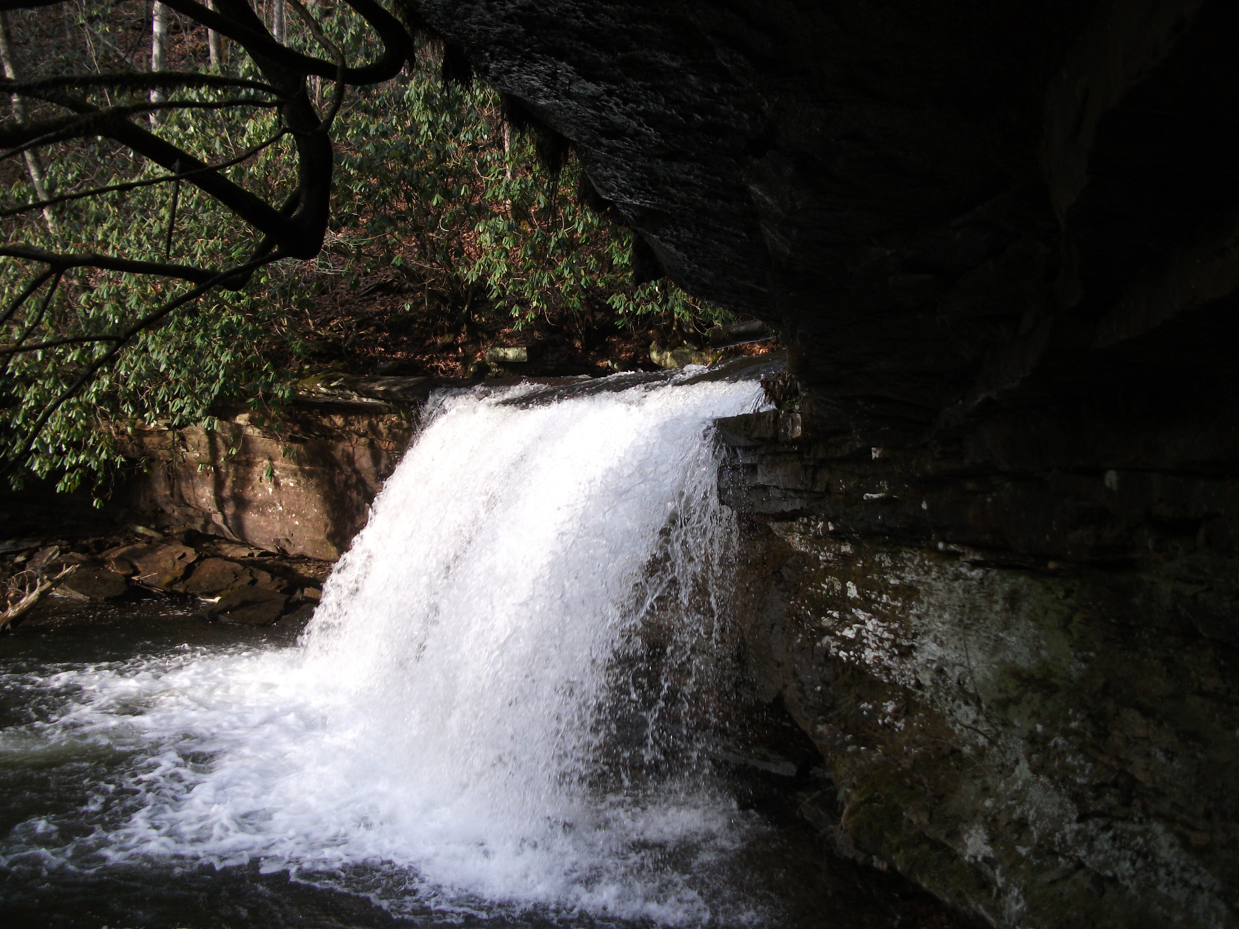
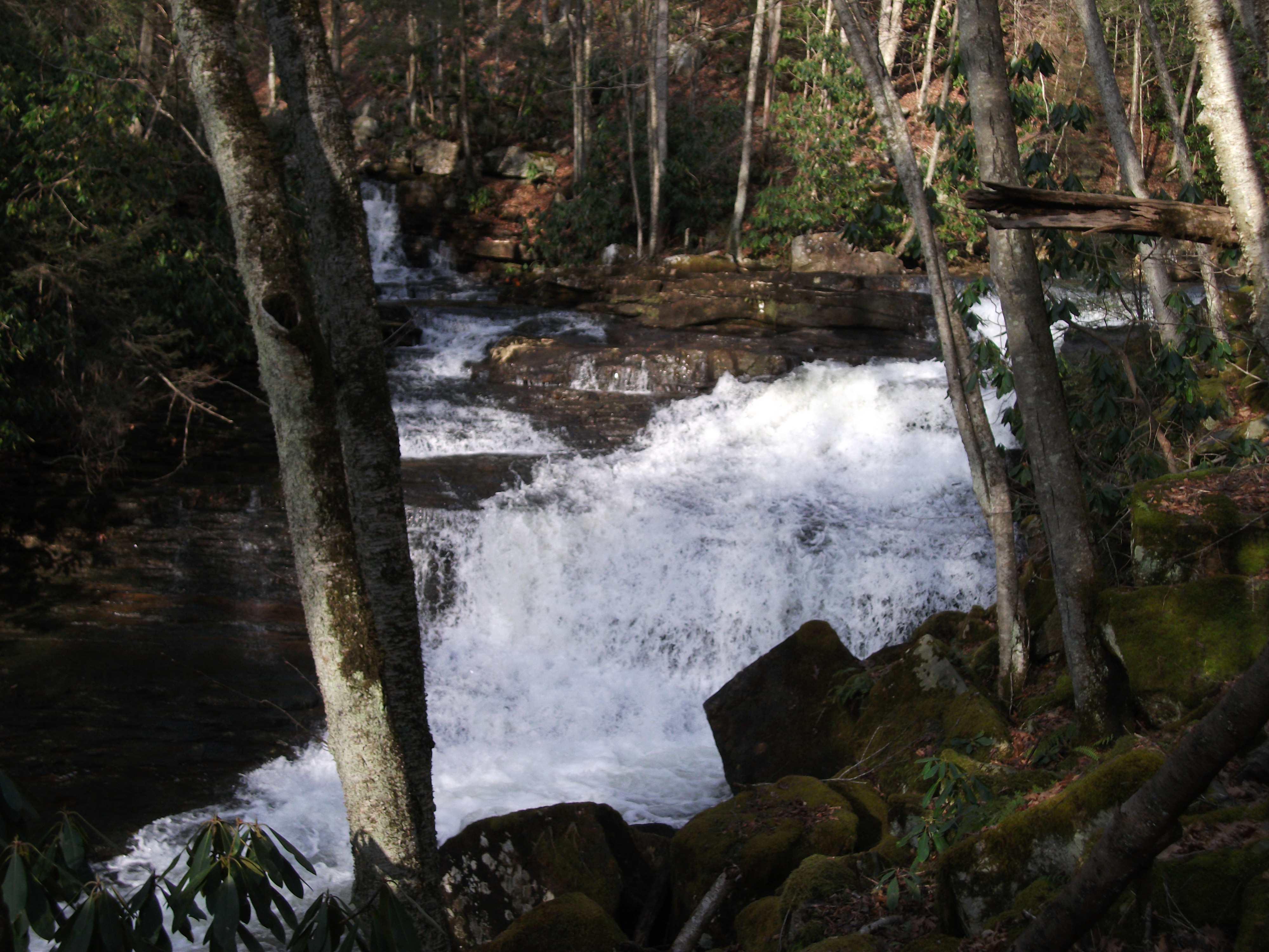
Little Tumbling Falls
More beautiful scenery in va
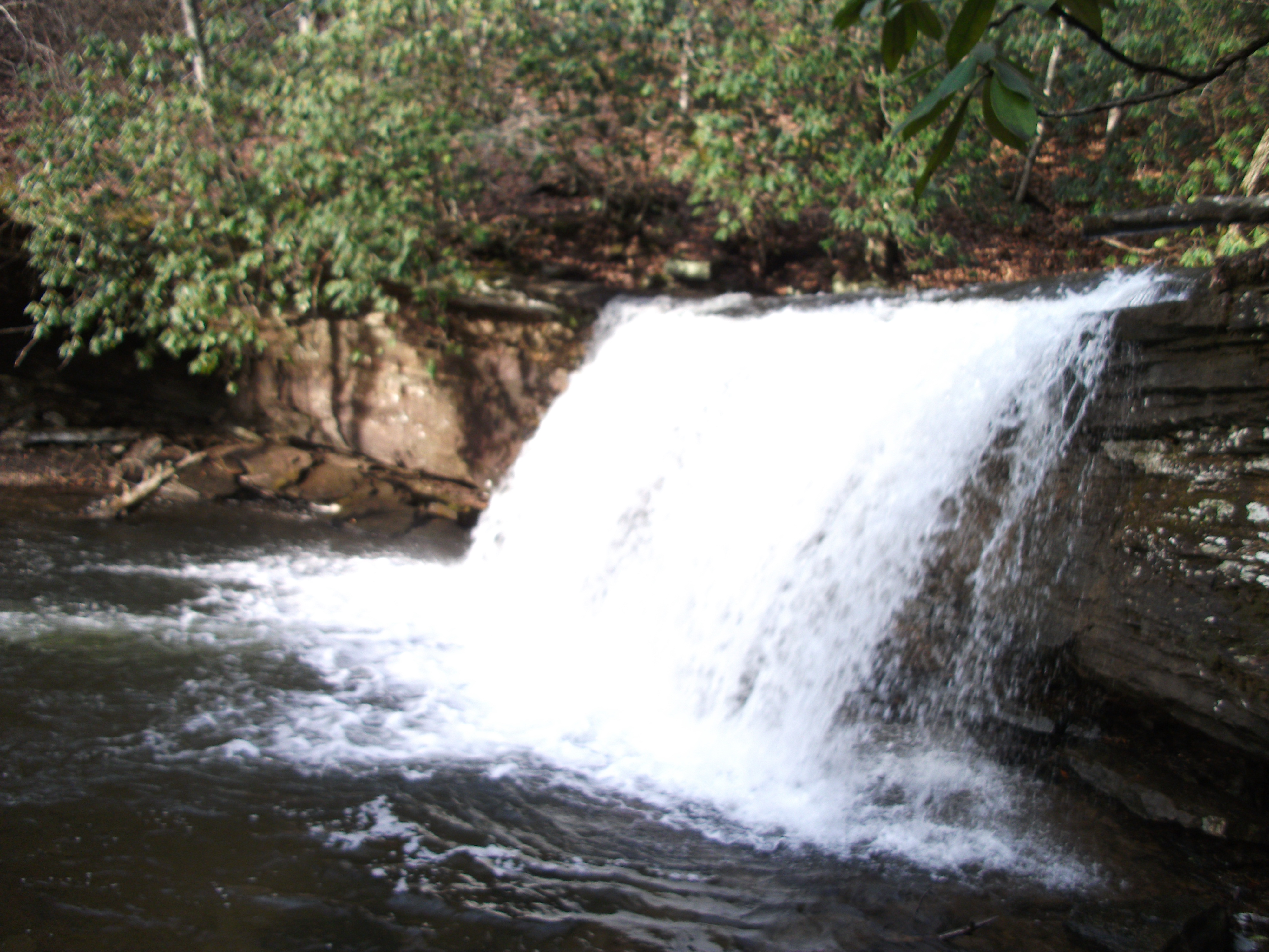
Twin Hollow Falls
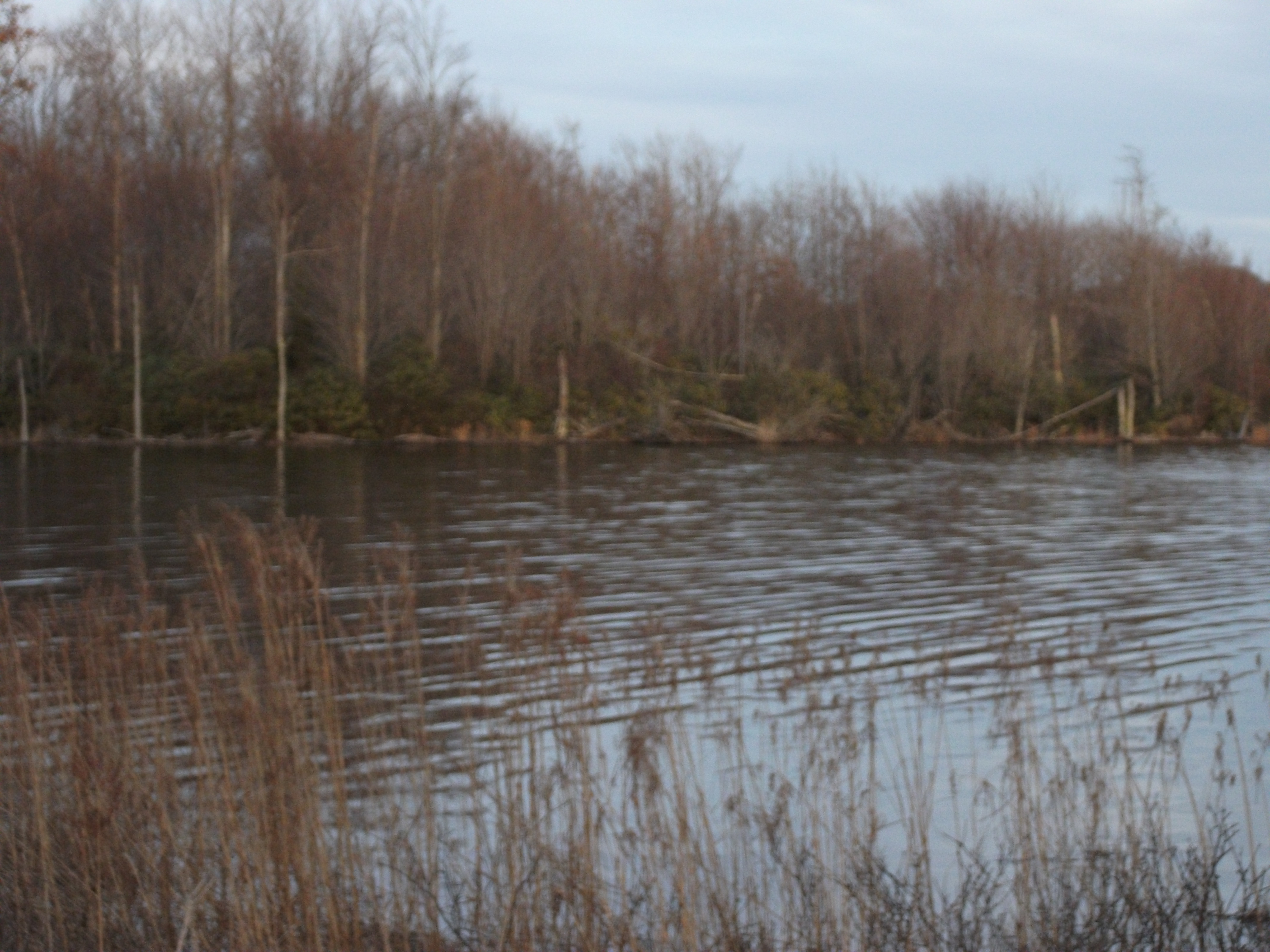
Laurel Bed Lake
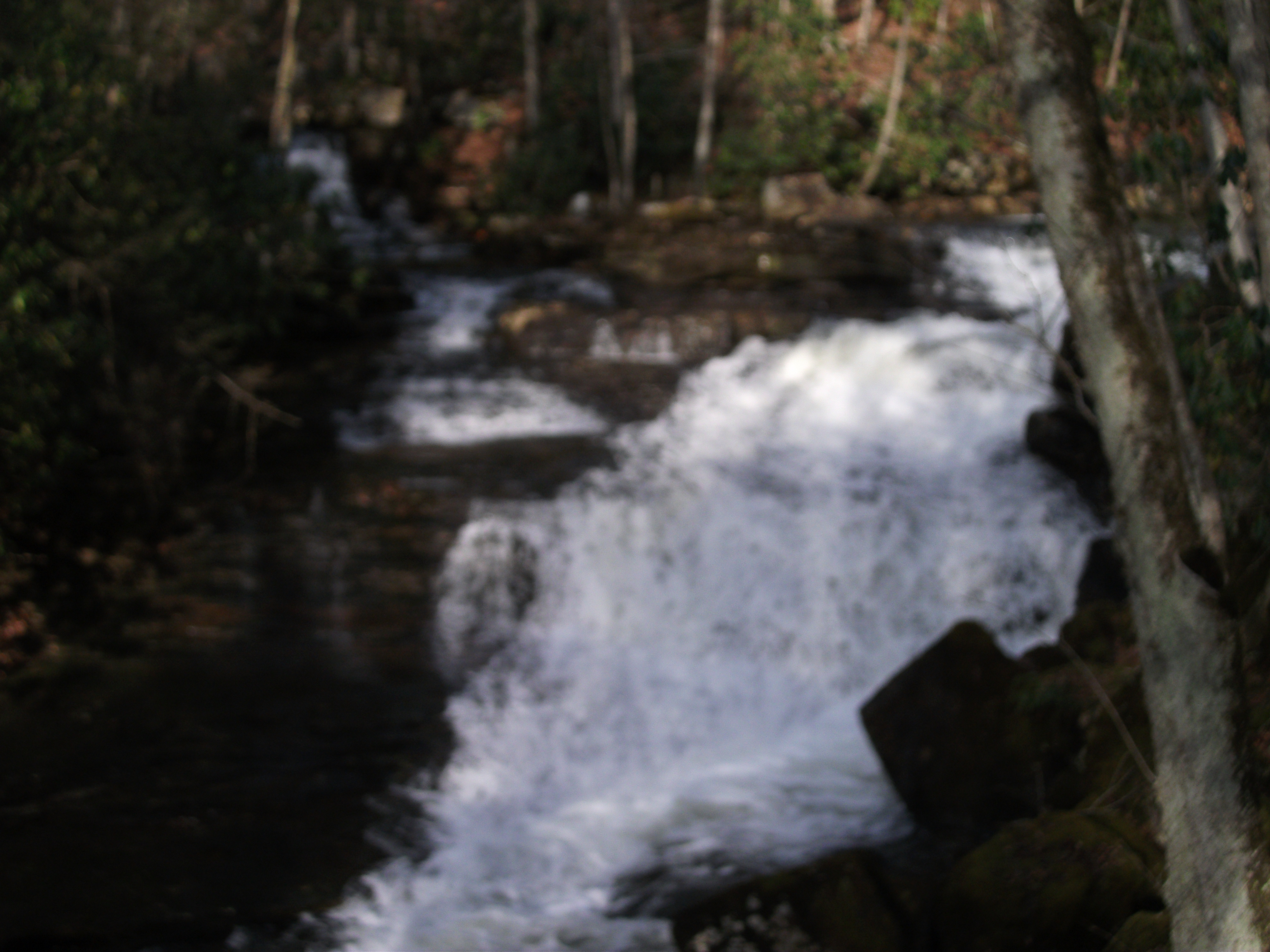
Twin Hollow Falls
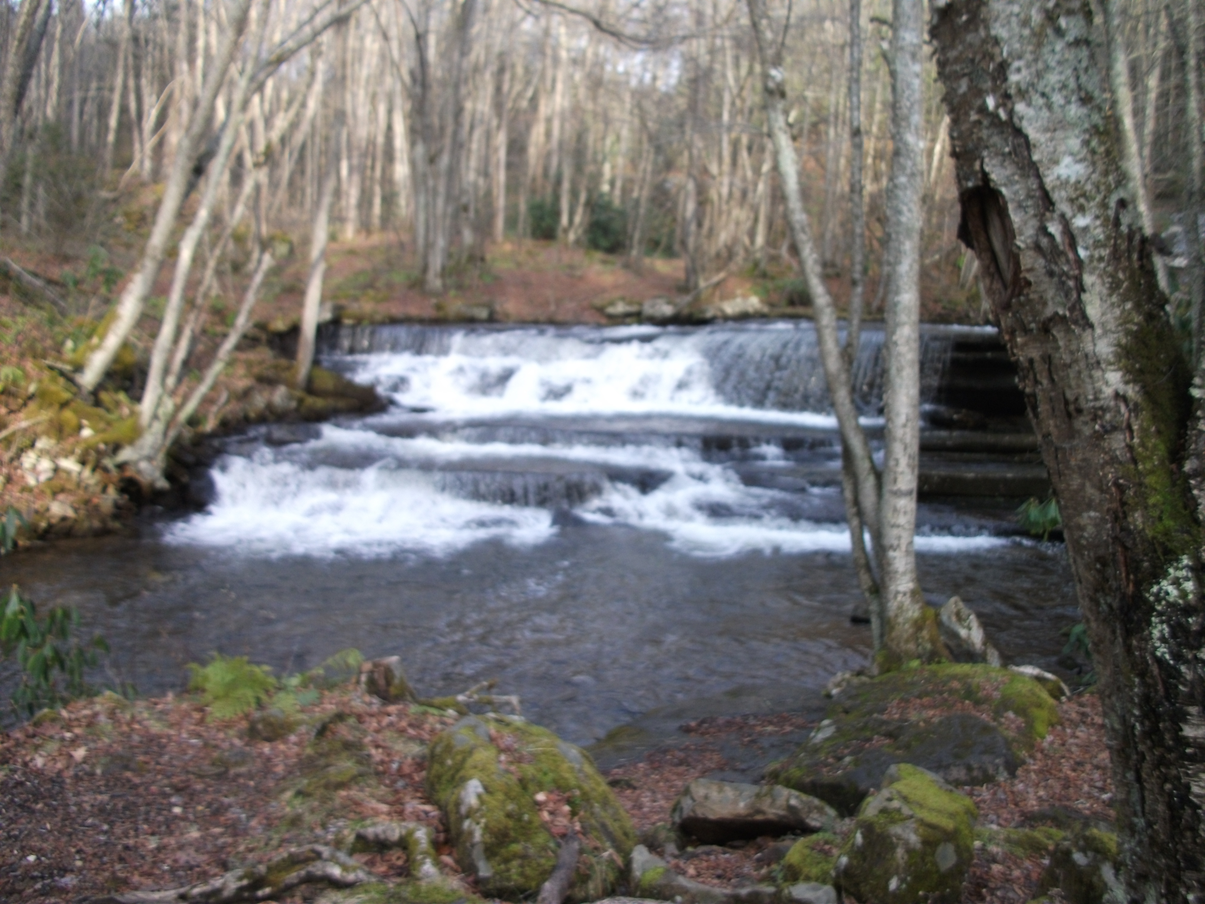
Little Tumbling Falls
Little Tumbling Falls
Scenery near Glade Spring
Twin Hollow Falls
Saltville, Virginia
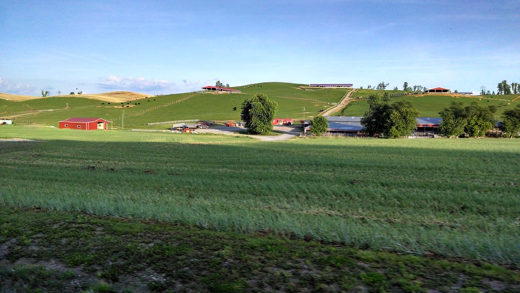
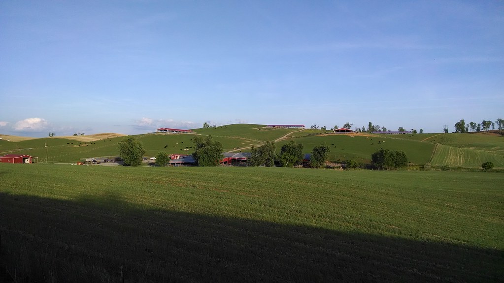
Farms near glade springs
Topographic Map of Cove Street, Cove St, Saltville, VA, USA
Find elevation by address:

Places near Cove Street, Cove St, Saltville, VA, USA:
Allison Gap Road
Blue Grass Trail
408 Davidson St
Saltville
Saltville
105 Government Plant Rd
Pearl Drive
1001 Palmer Ave
1830 Riverdale Rd
634 Pine Dr
628 Pine Dr
429 Almond Ln
190 Saddleback Rd
Poor Valley Road
8315 Buchanan Rd
Saltville Hwy, Saltville, VA, USA
5176 Tumbling Creek Rd
Virginia 91
Old Mill Rd, Glade Spring, VA, USA
9231 Stillmeadows Ln
Recent Searches:
- Elevation of Woodland Oak Pl, Thousand Oaks, CA, USA
- Elevation of Brownsdale Rd, Renfrew, PA, USA
- Elevation of Corcoran Ln, Suffolk, VA, USA
- Elevation of Mamala II, Sariaya, Quezon, Philippines
- Elevation of Sarangdanda, Nepal
- Elevation of 7 Waterfall Way, Tomball, TX, USA
- Elevation of SW 57th Ave, Portland, OR, USA
- Elevation of Crocker Dr, Vacaville, CA, USA
- Elevation of Pu Ngaol Community Meeting Hall, HWHM+3X7, Krong Saen Monourom, Cambodia
- Elevation of Royal Ontario Museum, Queens Park, Toronto, ON M5S 2C6, Canada