Elevation of Rich Valley Rd, Meadowview, VA, USA
Location: United States > Virginia > Washington County > Jefferson >
Longitude: -81.856837
Latitude: 36.828439
Elevation: 547m / 1795feet
Barometric Pressure: 95KPa
Elevation Map:
Satellite Map:
Related Photos:
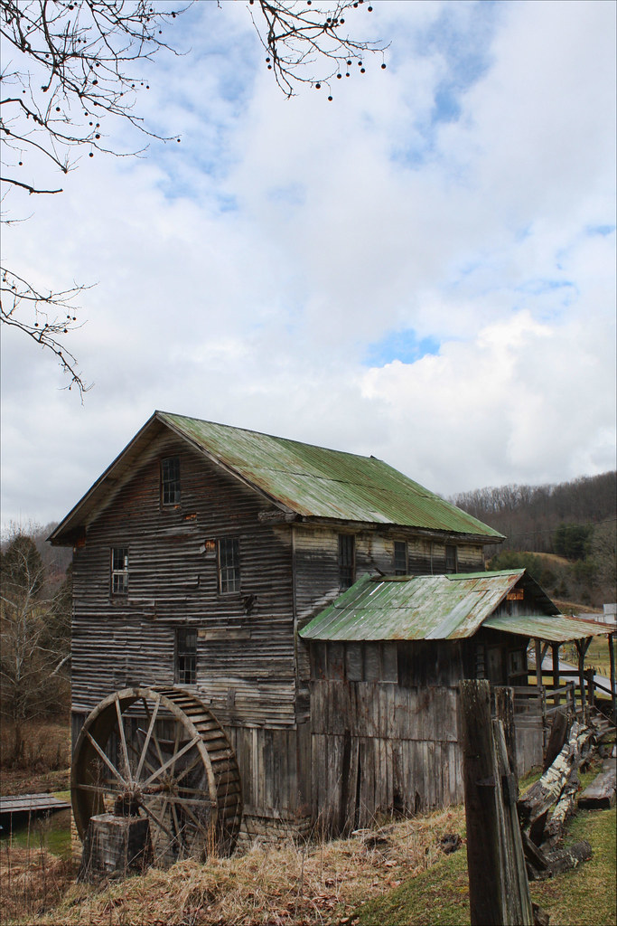
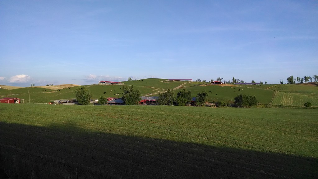
White's Mill
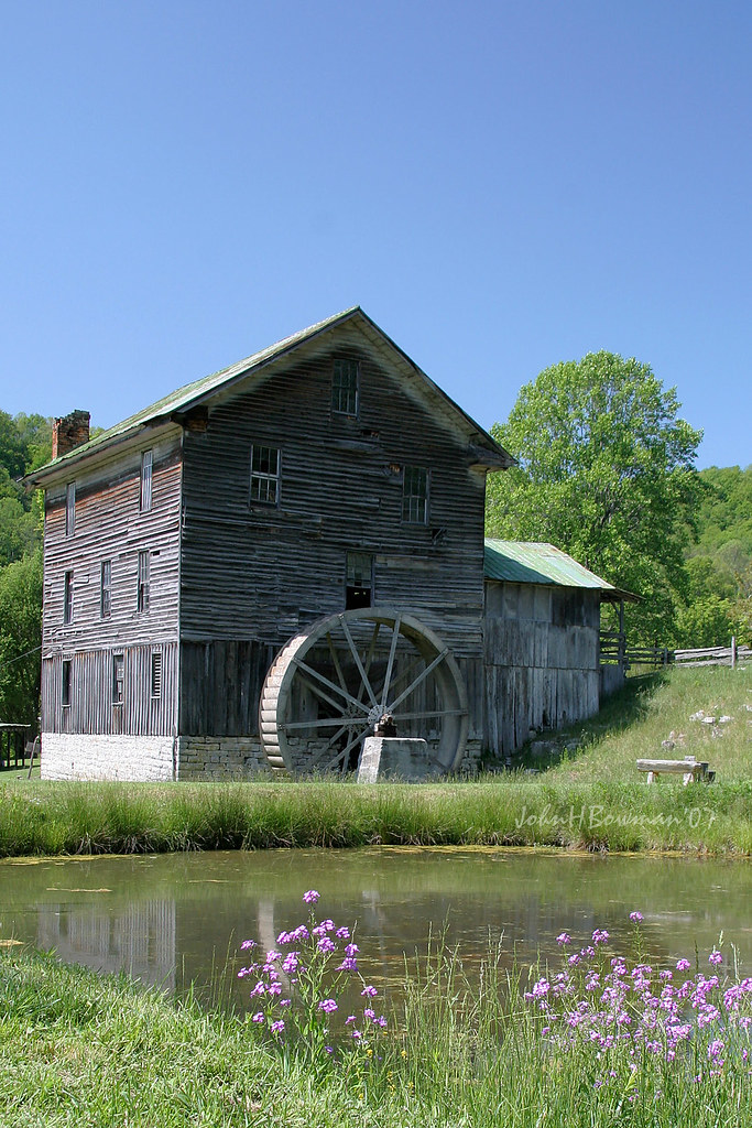
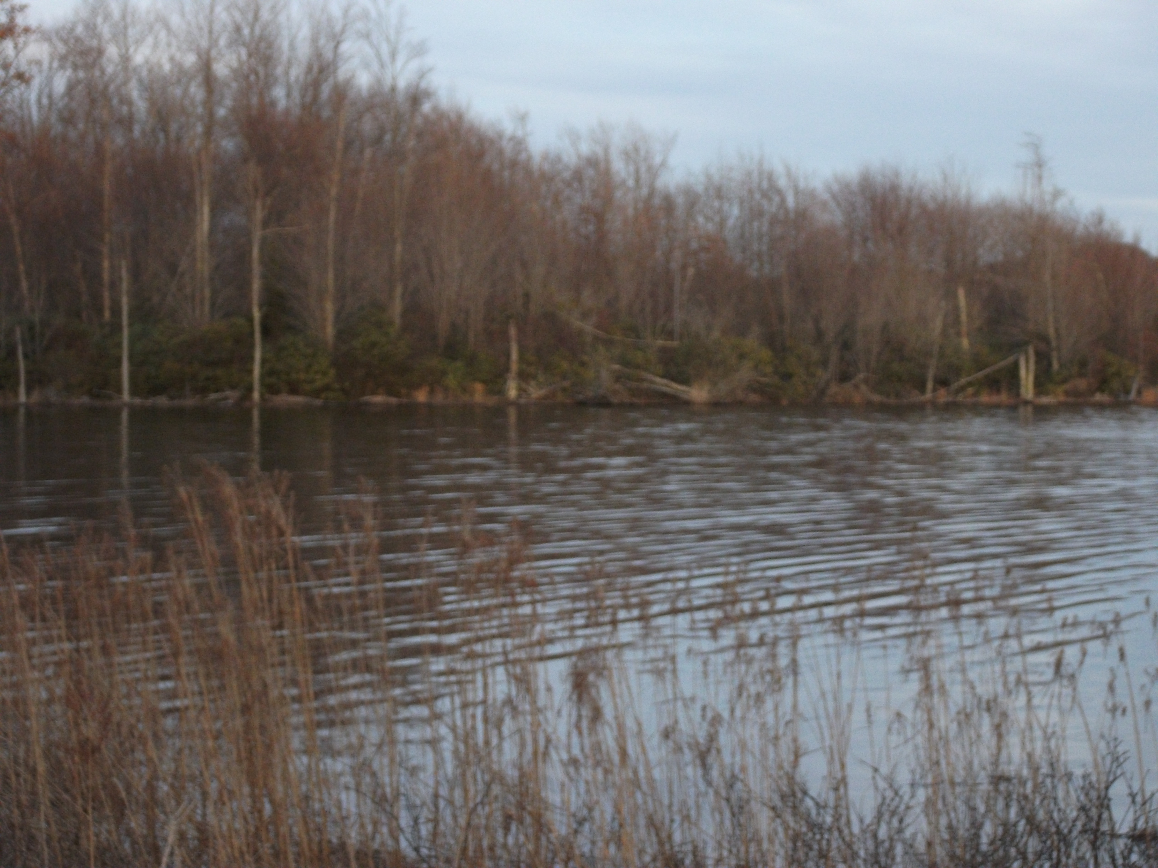
White's Mill & Pond
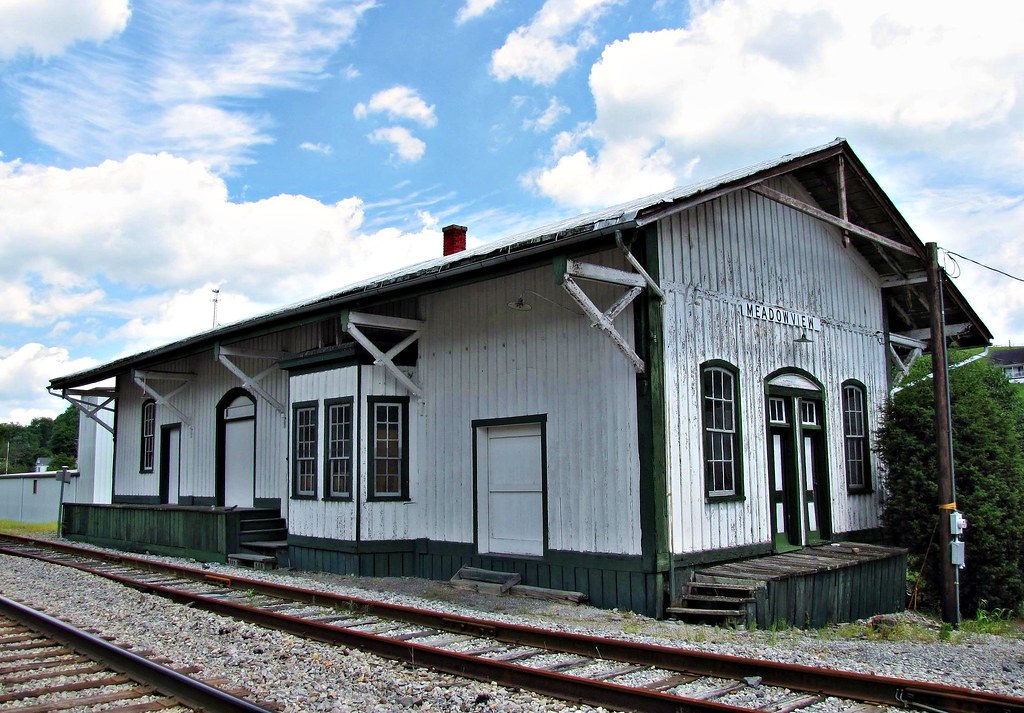
Meadowview, Virginia
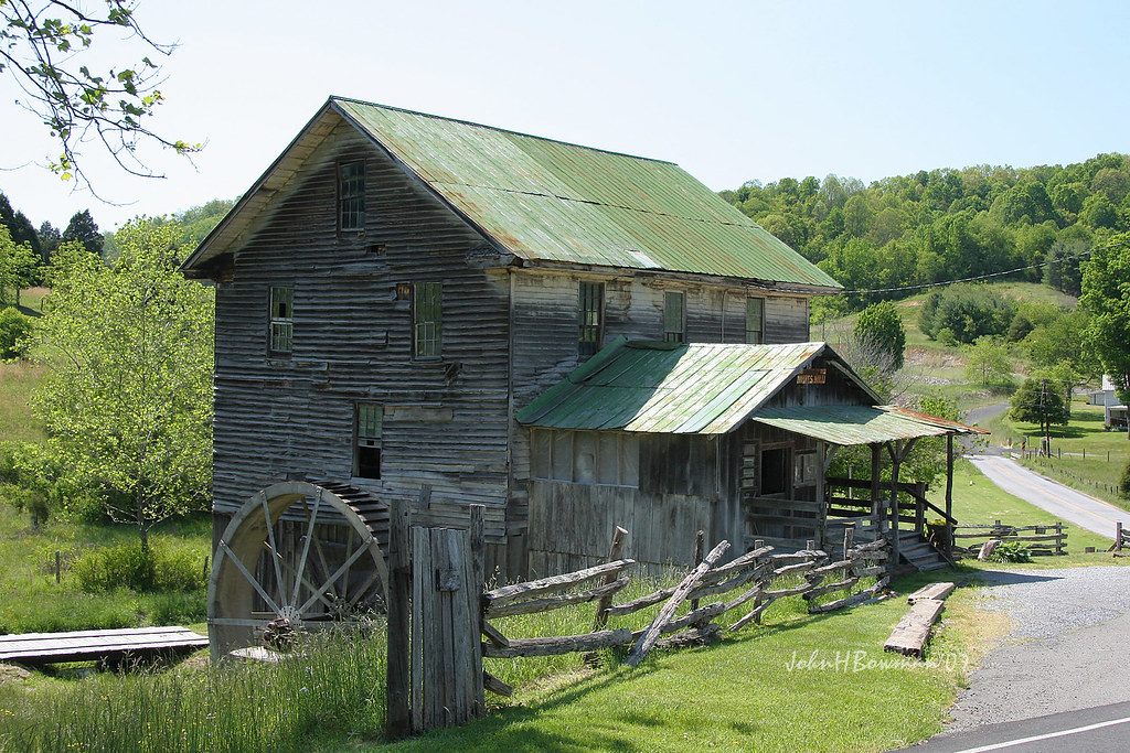
White's Mill

Black-legged Meadow Katydid Nymph

Abingdon, VA

John Burk 2
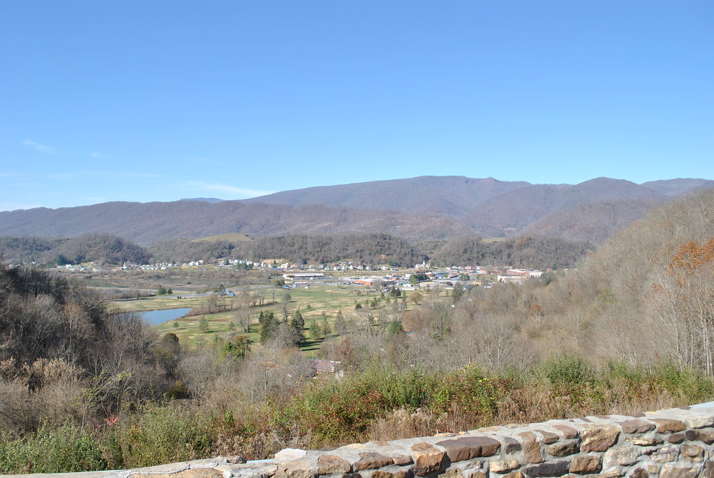
SALTVILLE OVERLOOK
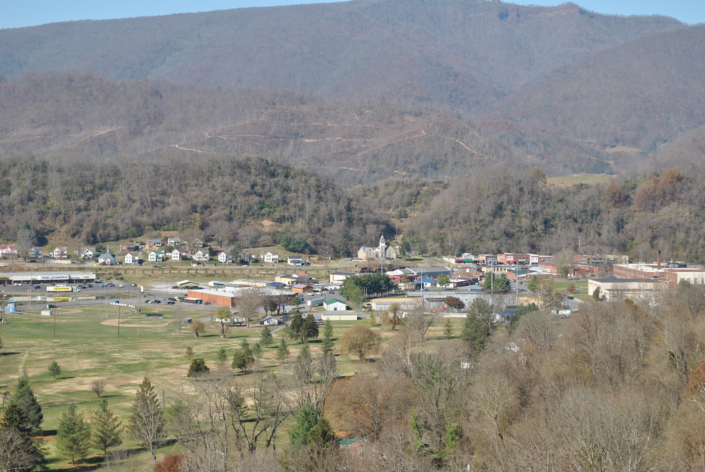
SALTVILLE OVERLOOK
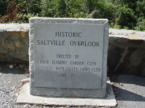
SALTVILLE OVERLOOK

3-AnotherHorseAlongCreeperTrail
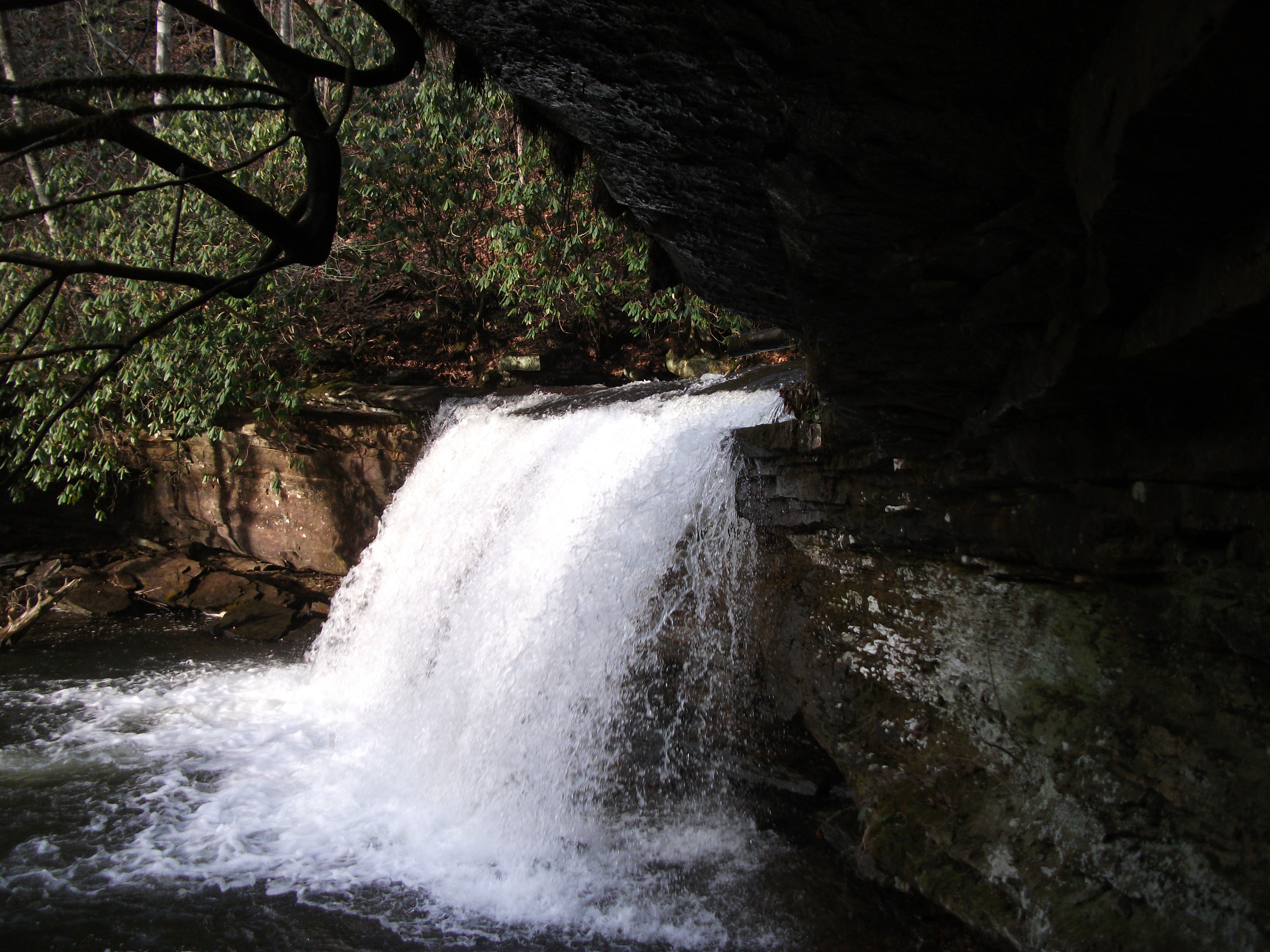
Little Tumbling Falls
Laurel Bed Lake
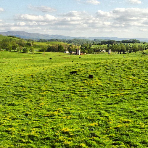
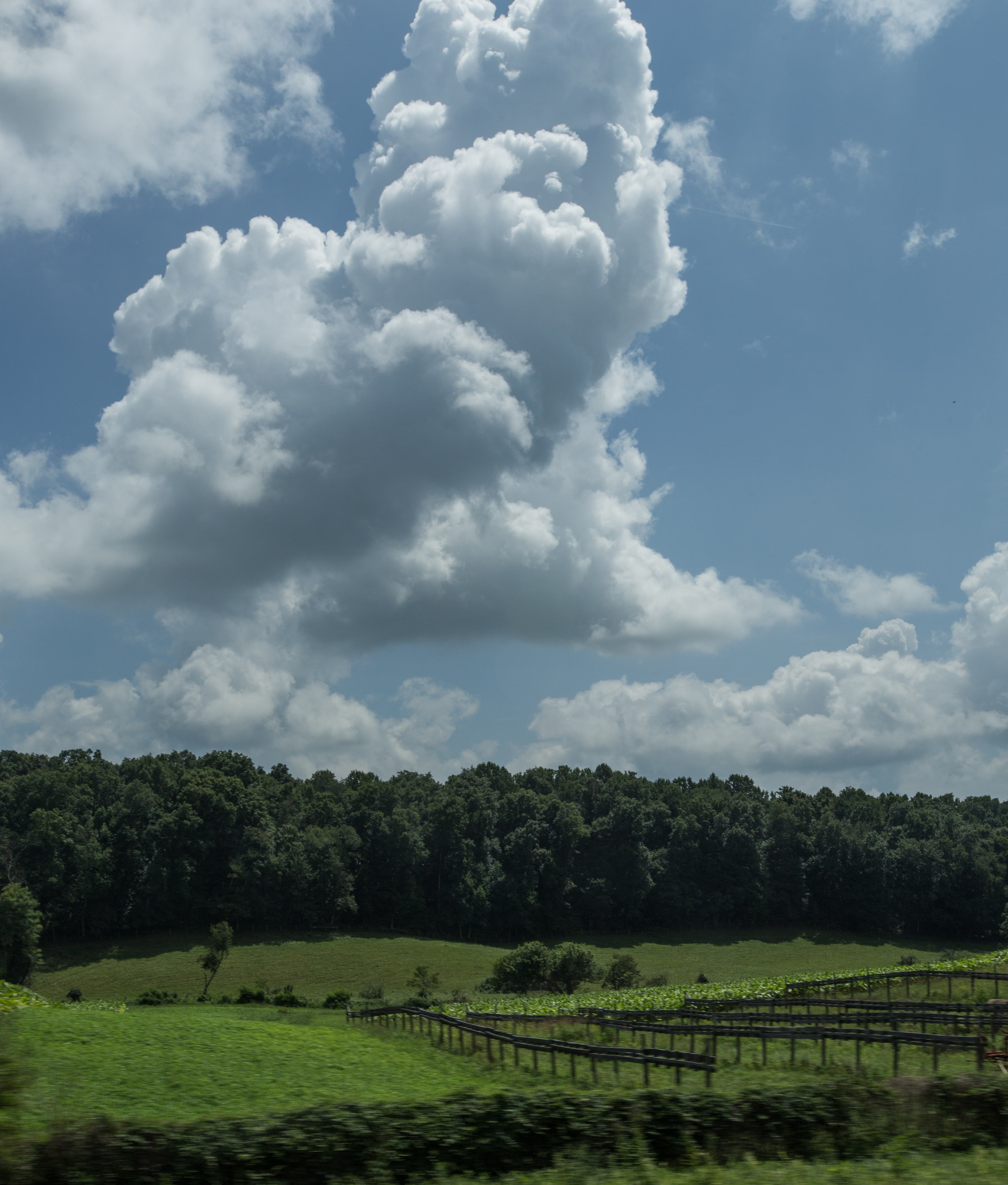
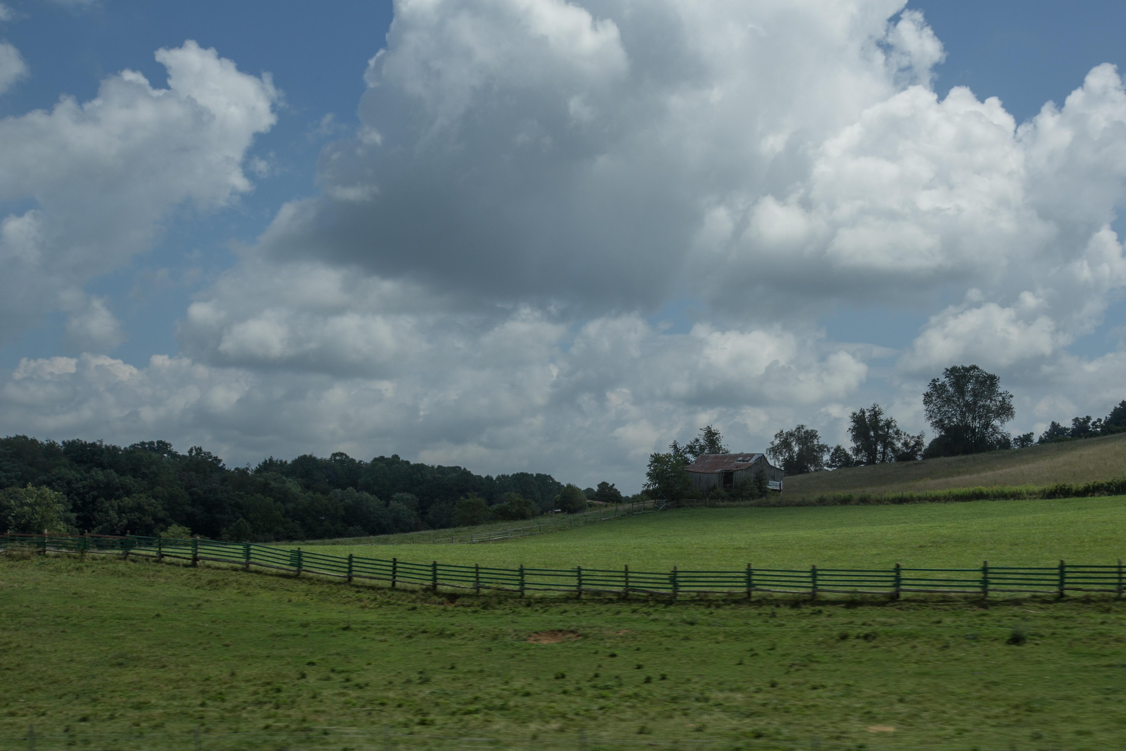
More beautiful scenery in va
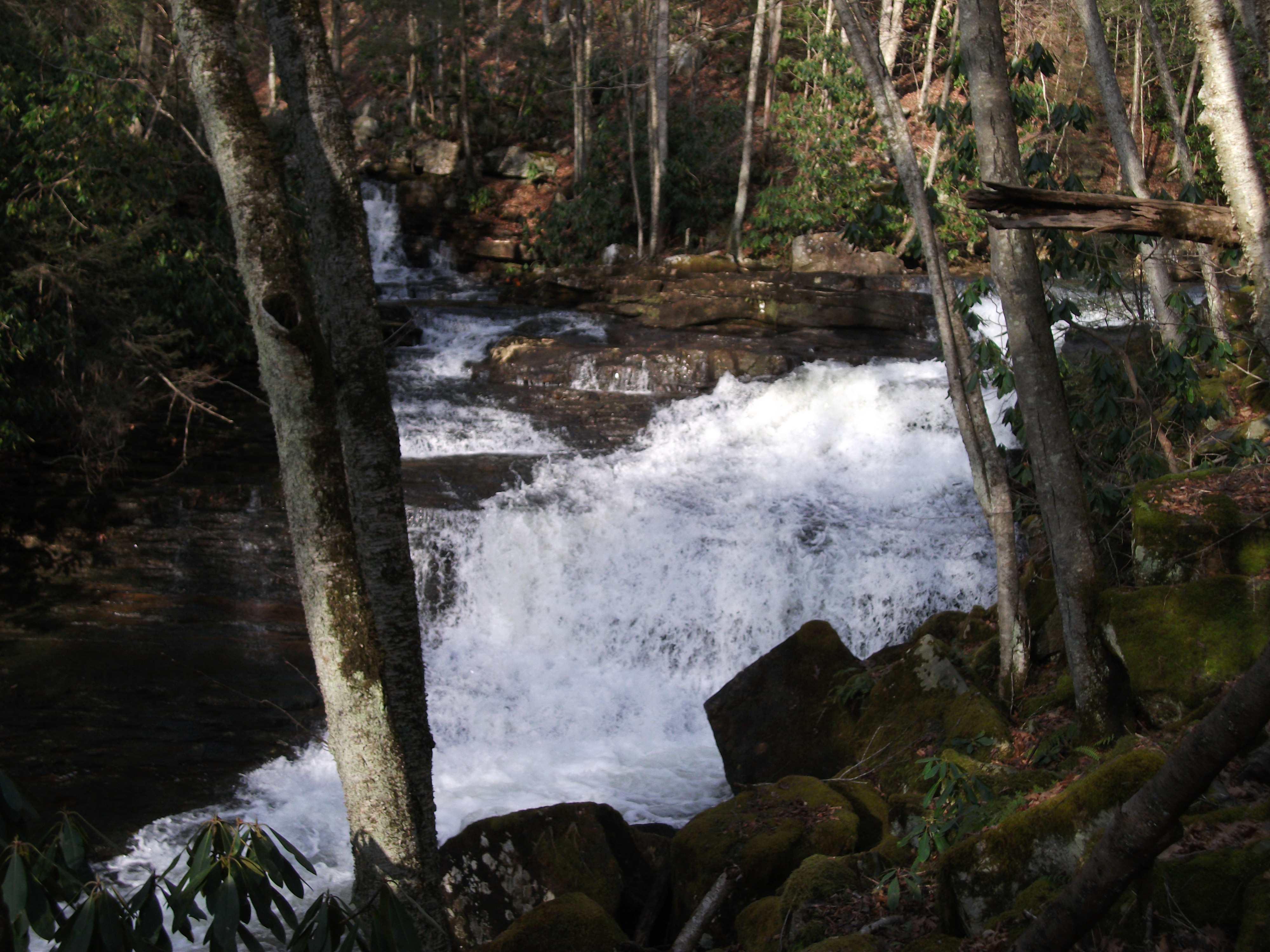
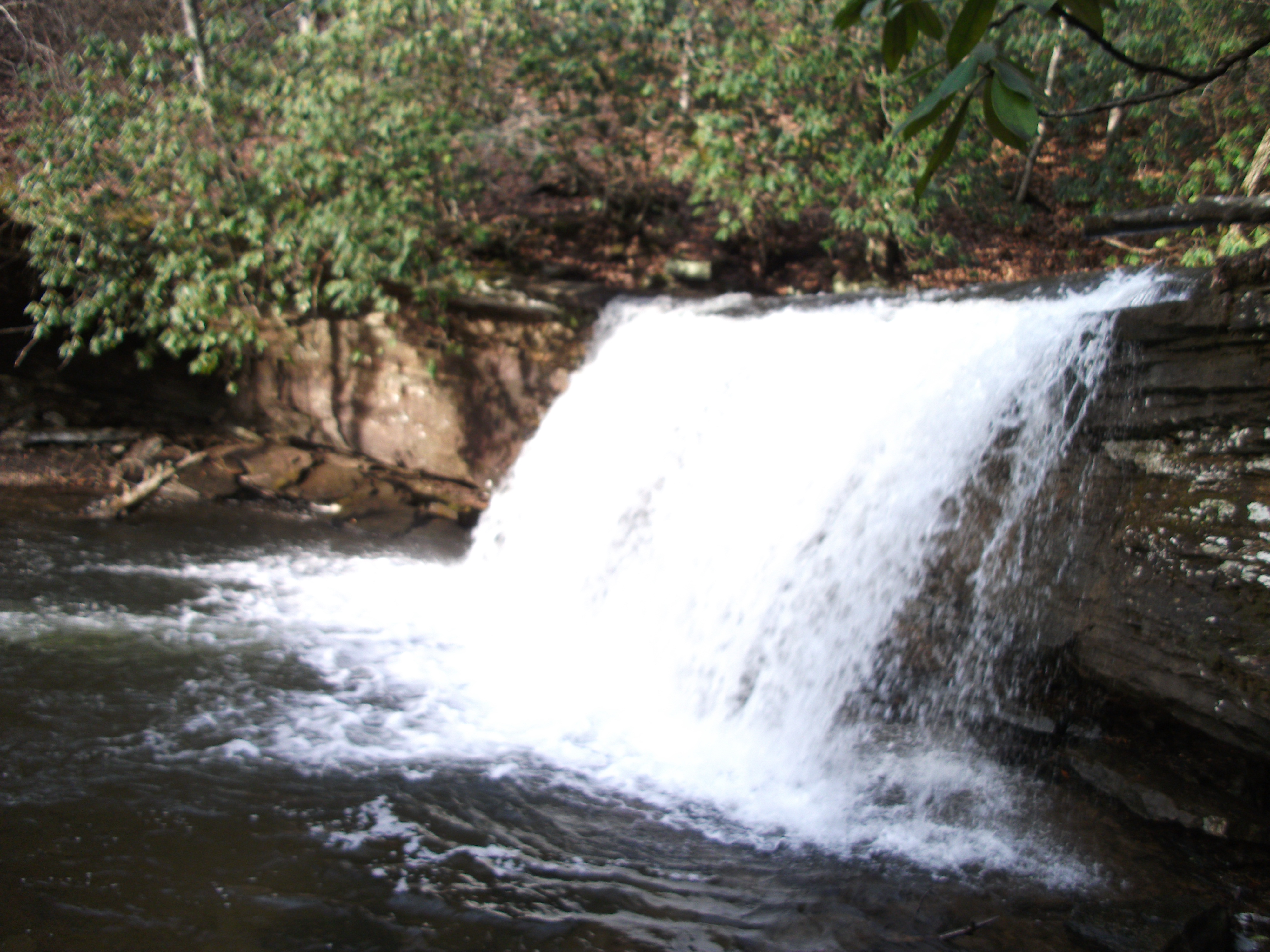
Twin Hollow Falls
Twin Hollow Falls
IMG_2854.jpg
IMG_2853.jpg
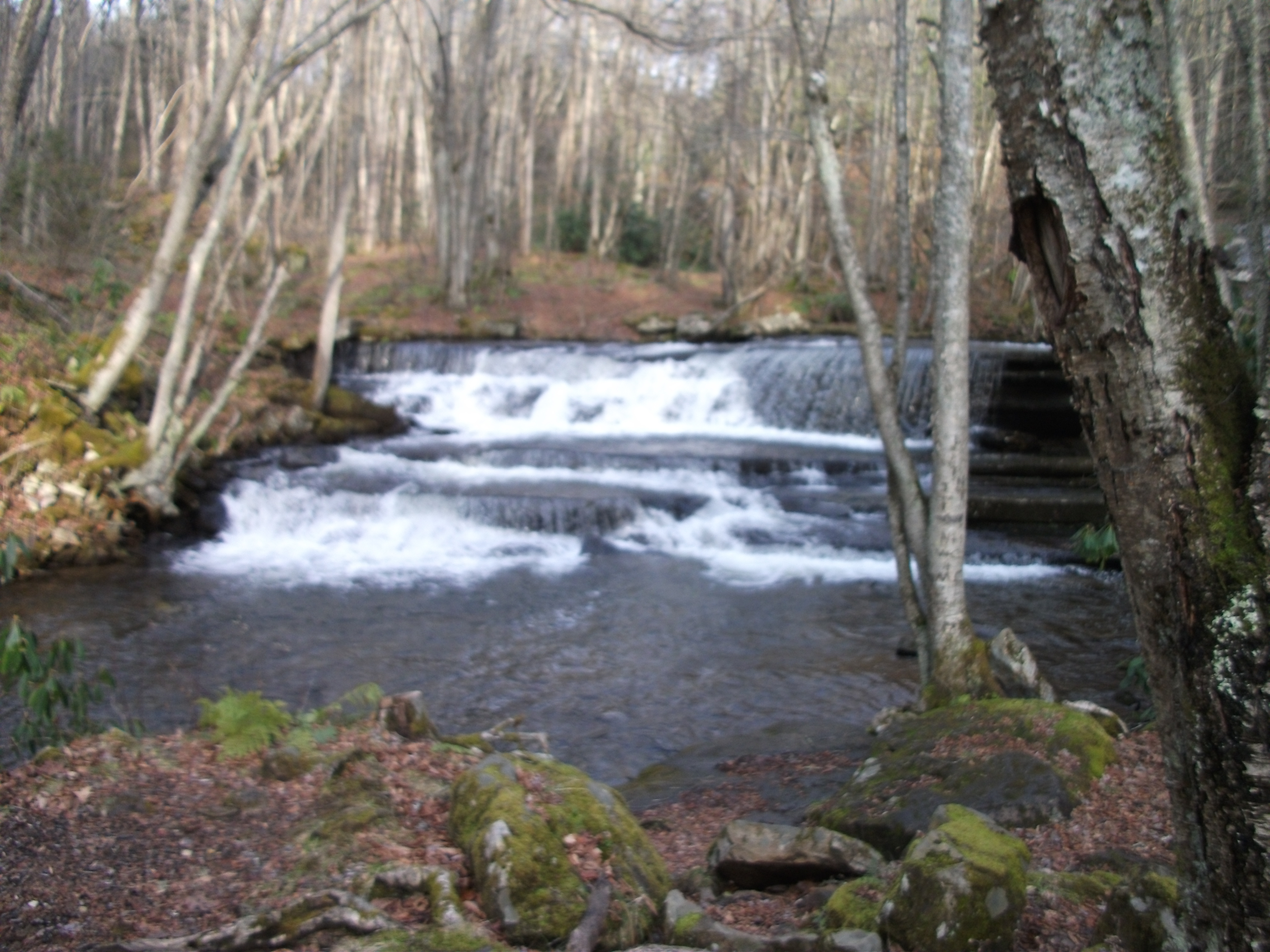
Little Tumbling Falls
Little Tumbling Falls
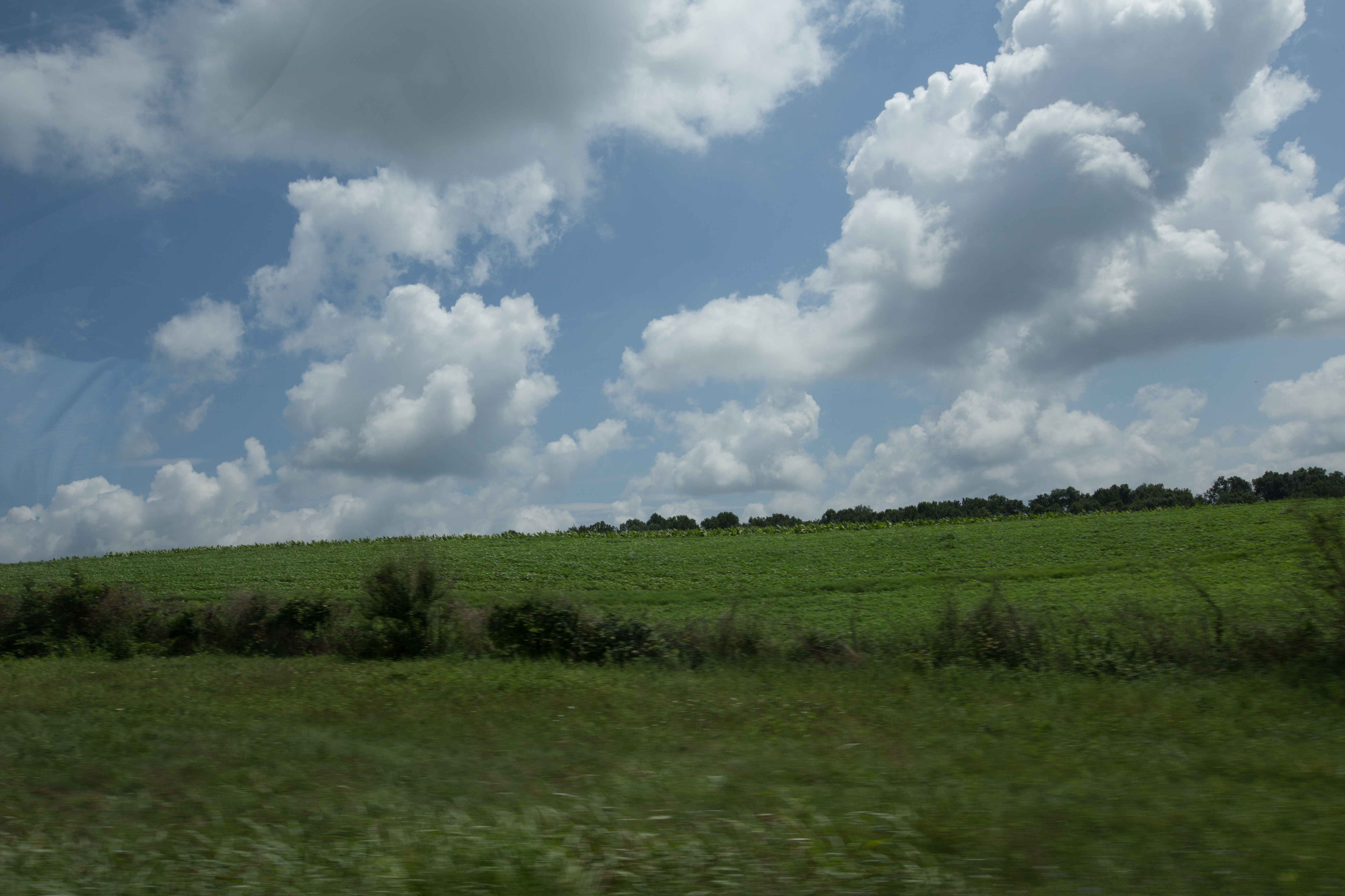
Scenery near Glade Spring
Twin Hollow Falls
IMG_2845.jpg
Topographic Map of Rich Valley Rd, Meadowview, VA, USA
Find elevation by address:

Places near Rich Valley Rd, Meadowview, VA, USA:
28604 N Fork River Rd
Chestnut Ridge
27184 N Fork River Rd
9231 Stillmeadows Ln
5176 Tumbling Creek Rd
11337 Poppy Ln
26436 N Fork River Rd
28536 Poor Valley Rd
Poor Valley Road
28450 Smyth Chapel Rd
Pearl Drive
Lindell
11391 Mt Calm Dr
27158 Shortsville Rd
12655 Lindell Rd
Mount Calm Drive
13083 Lindell Rd
Home, 29326 Hillman Hwy
Old Mill Rd, Glade Spring, VA, USA
Meadowview
Recent Searches:
- Elevation of 72-31 Metropolitan Ave, Middle Village, NY, USA
- Elevation of 76 Metropolitan Ave, Brooklyn, NY, USA
- Elevation of Alisal Rd, Solvang, CA, USA
- Elevation of Vista Blvd, Sparks, NV, USA
- Elevation of 15th Ave SE, St. Petersburg, FL, USA
- Elevation of Beall Road, Beall Rd, Florida, USA
- Elevation of Leguwa, Nepal
- Elevation of County Rd, Enterprise, AL, USA
- Elevation of Kolchuginsky District, Vladimir Oblast, Russia
- Elevation of Shustino, Vladimir Oblast, Russia