Elevation of Trout River Terrace, Falling Waters, WV, USA
Location: United States > West Virginia > Berkeley County > Potomac > Falling Waters >
Longitude: -77.865852
Latitude: 39.5721098
Elevation: 151m / 495feet
Barometric Pressure: 100KPa
Elevation Map:
Satellite Map:
Related Photos:
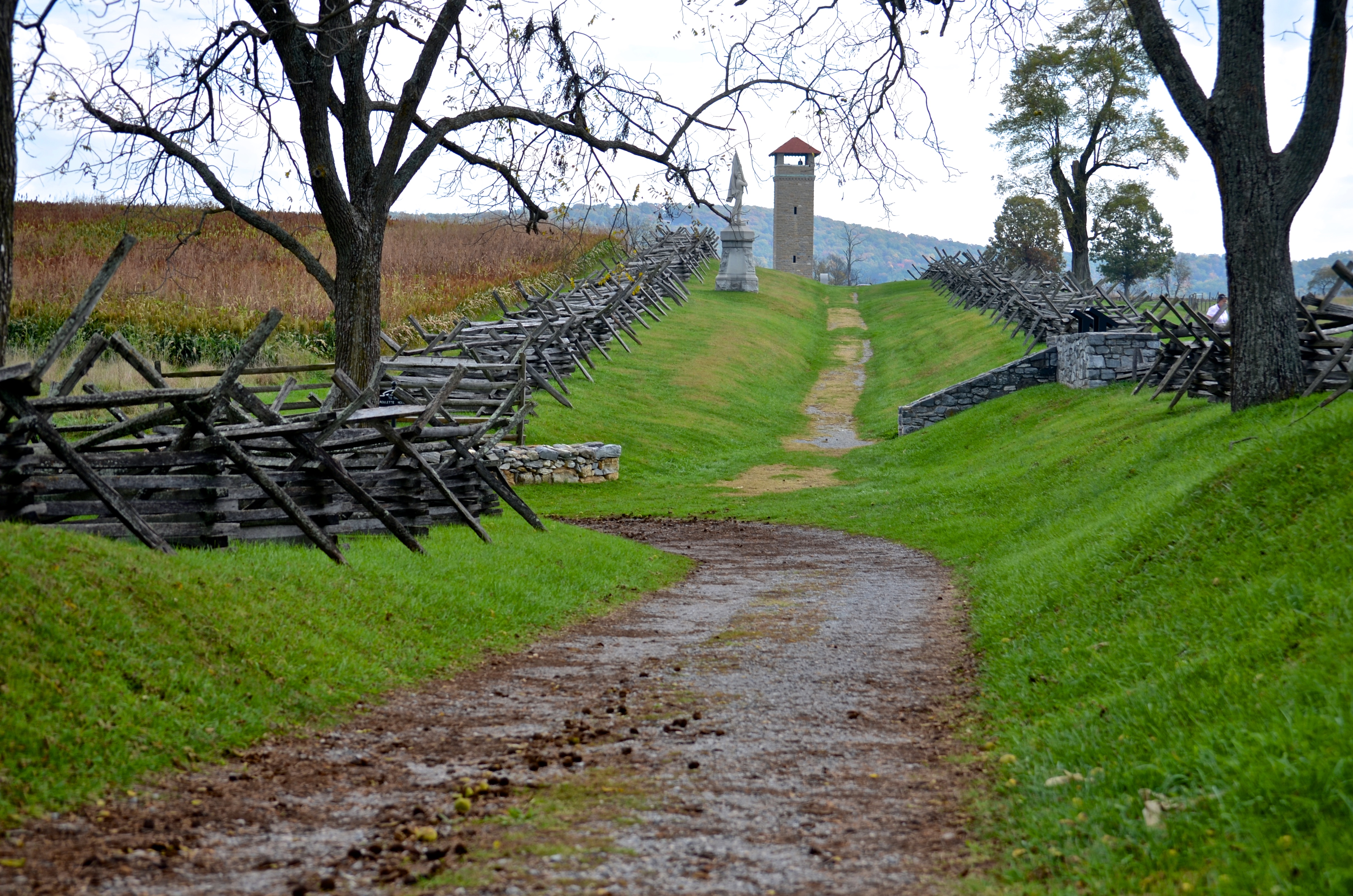
Bloody Lane, Antietam

_RWB6215-Edit-Edit-2-Edit-Edit.jpg
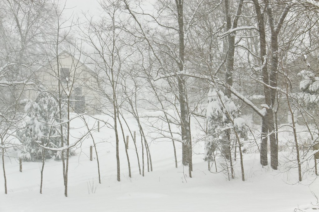
Today's Obligatory Snow Picture

_RWB6336.jpg

_RWB6310-Edit.jpg

US 11-1-2

_RWB6335-Edit.jpg
On The Opposite Side

Grass view

_RWB5969-Edit.jpg
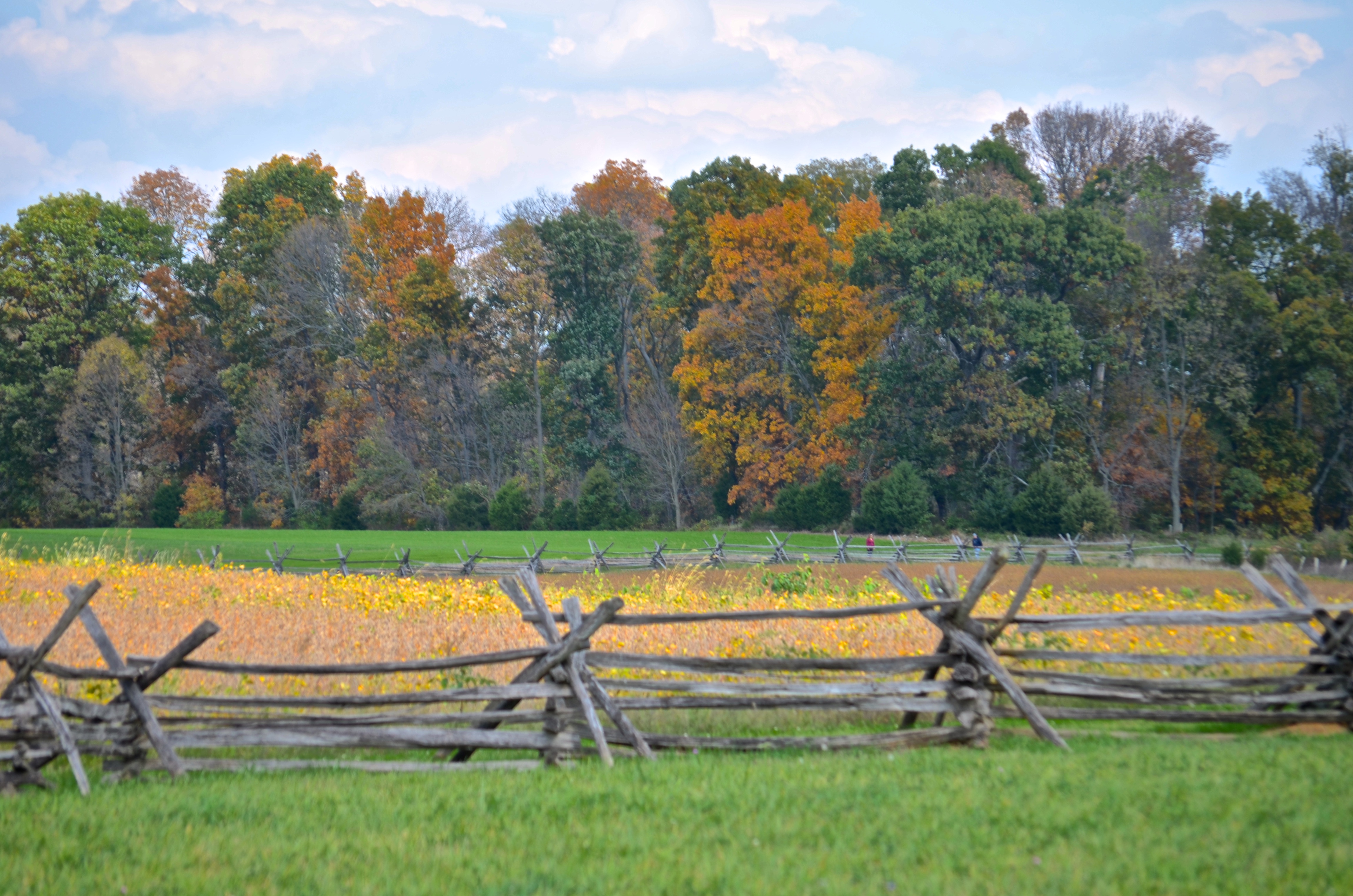
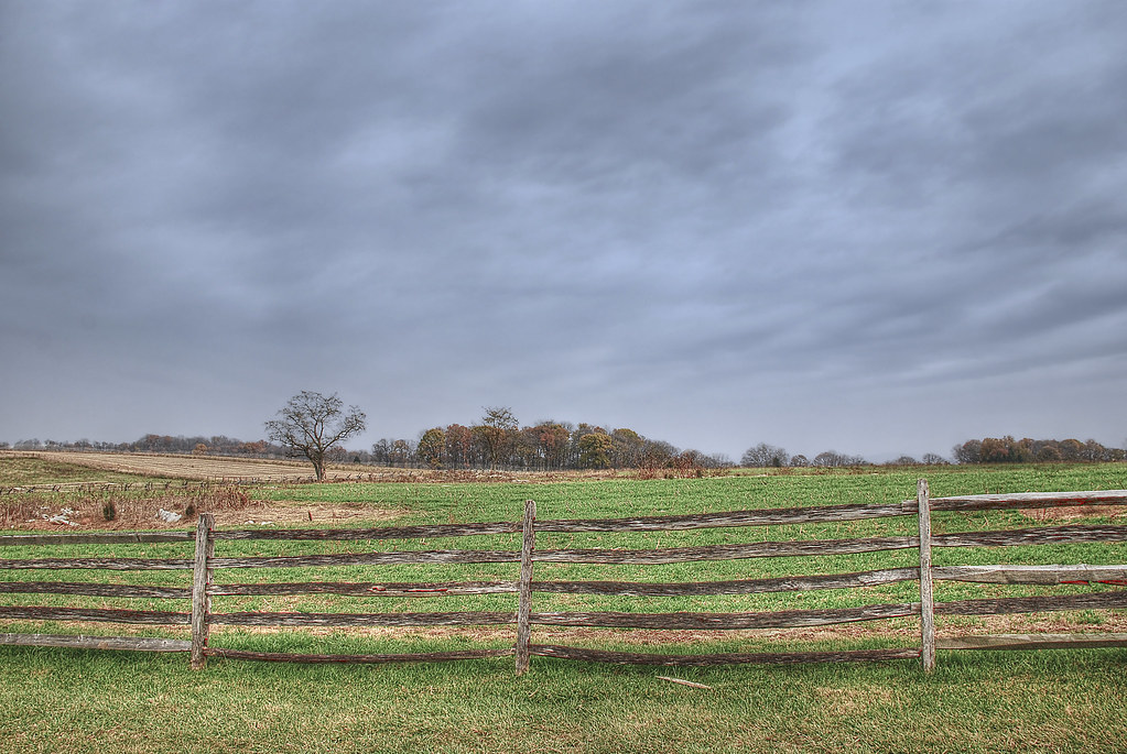
Cornfield, Antietam, rail fence
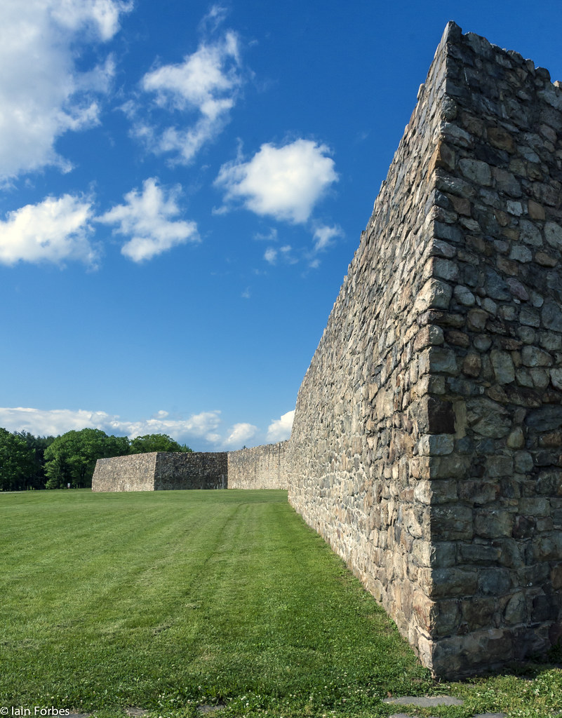
Frontier Fortification
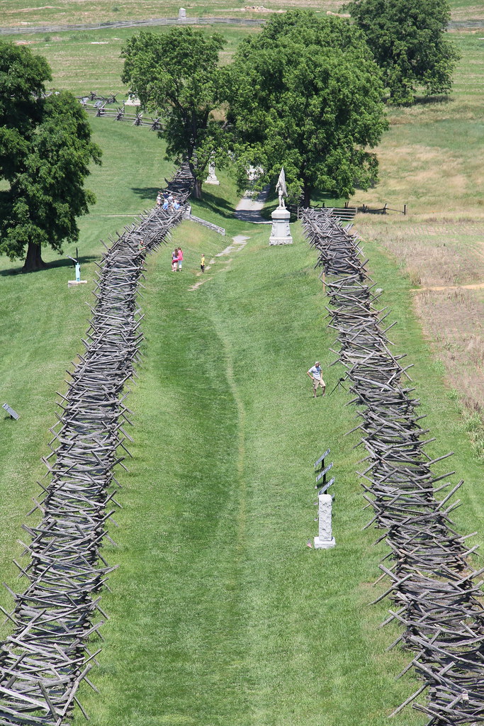
Antietam National Battlefield - View of Bloody Lane from the Observation Tower
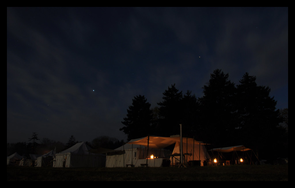
Candlelight Under the Stars
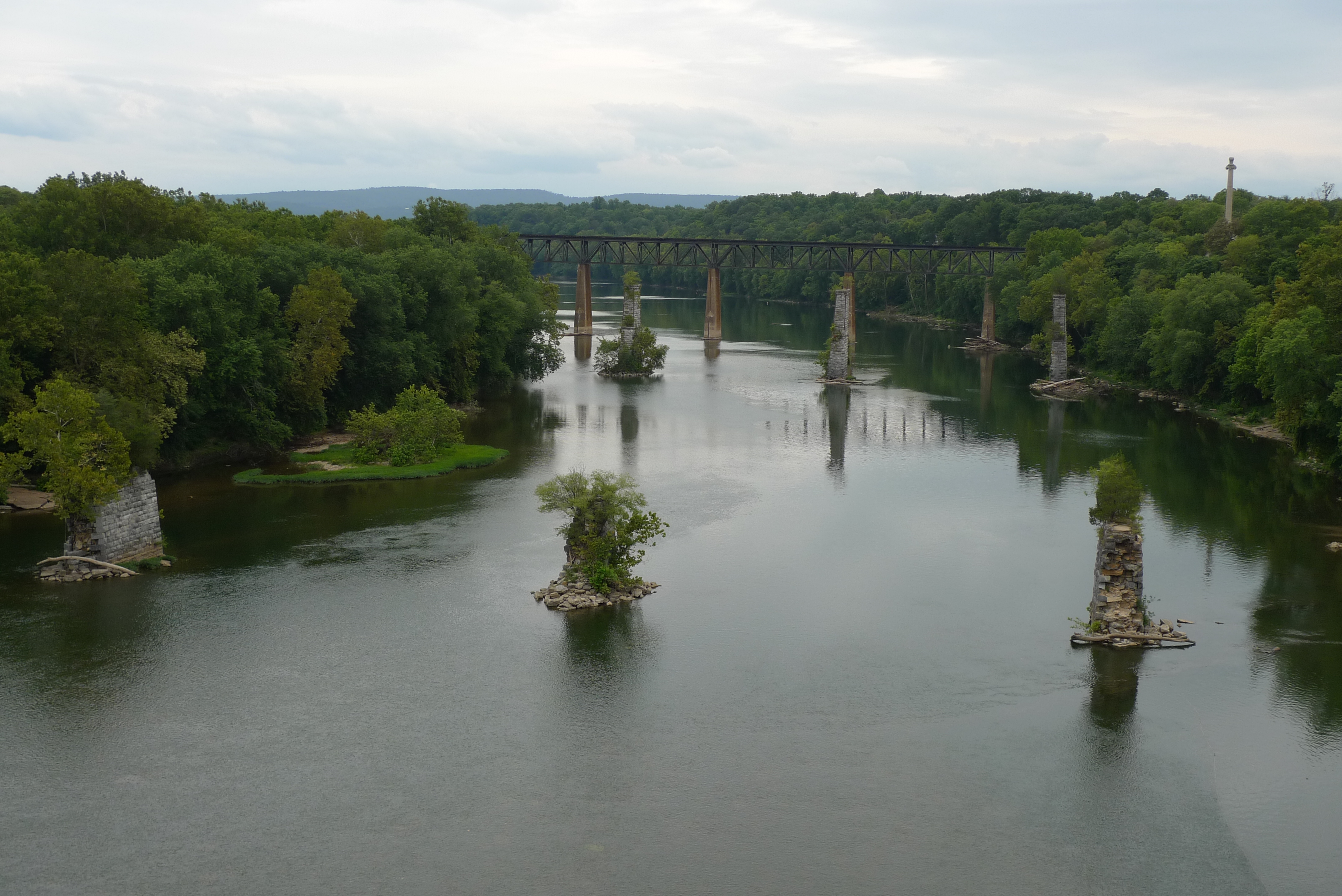
view from the James Rumsey (Sheperdstown Pike) Bridge
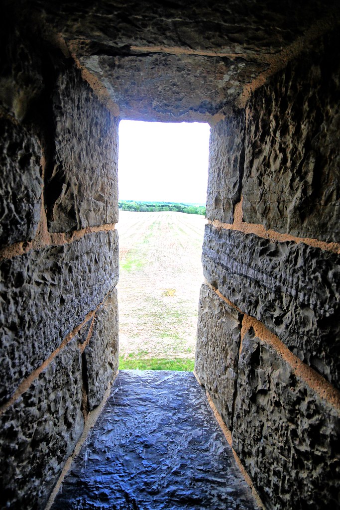
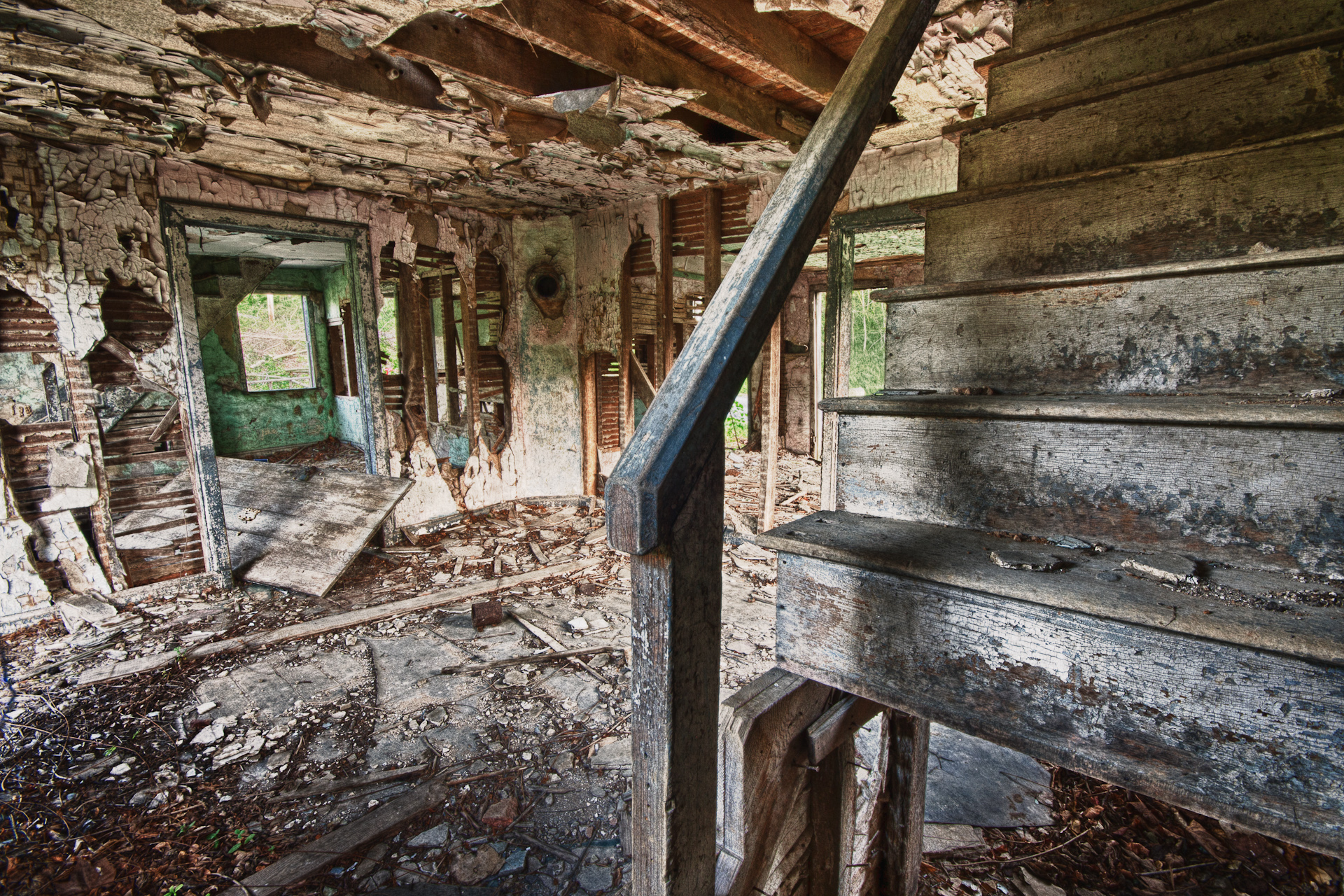
View out another window

CAB VIEW
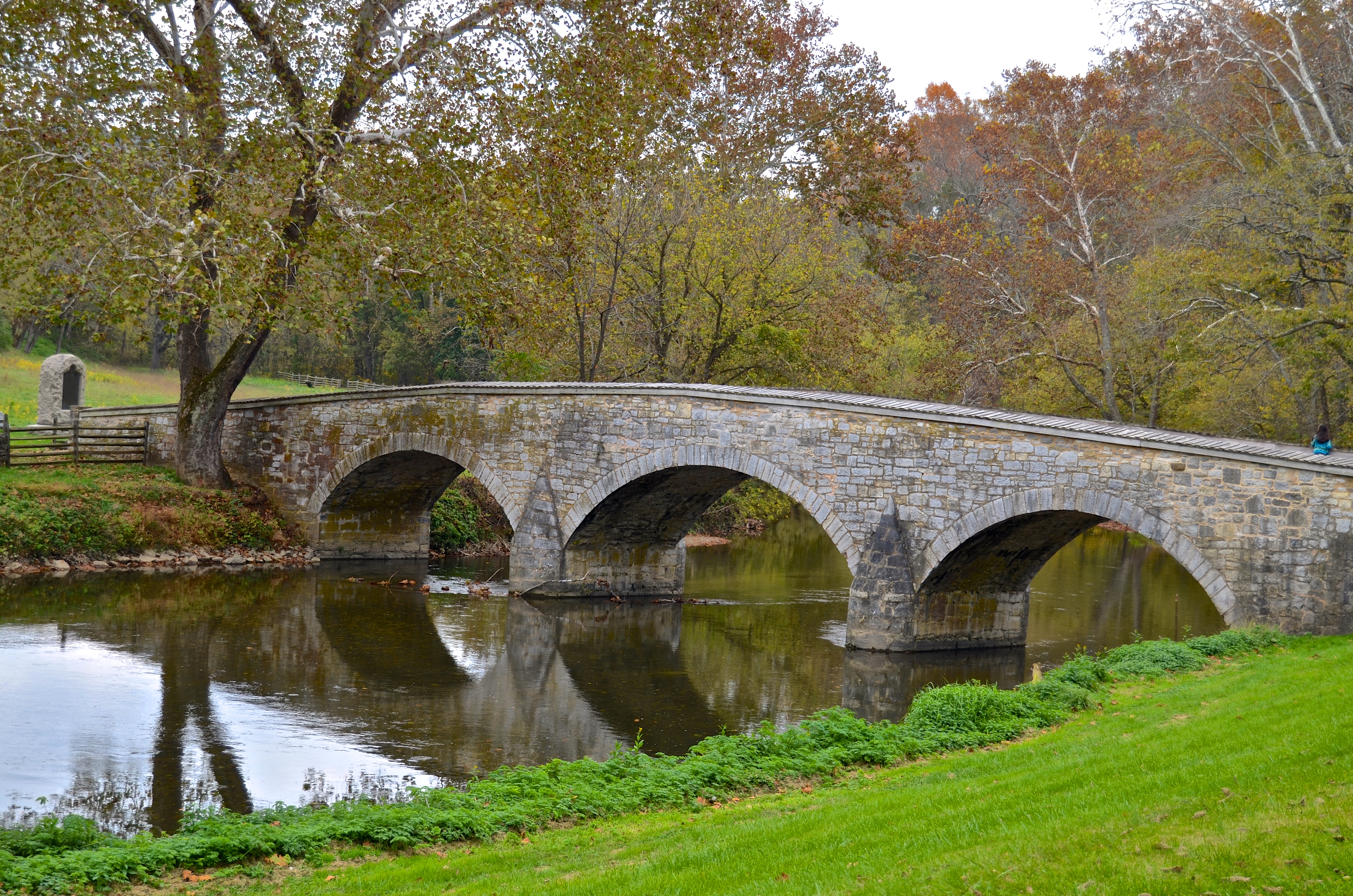
Burnside's Bridge, Antietam Creek
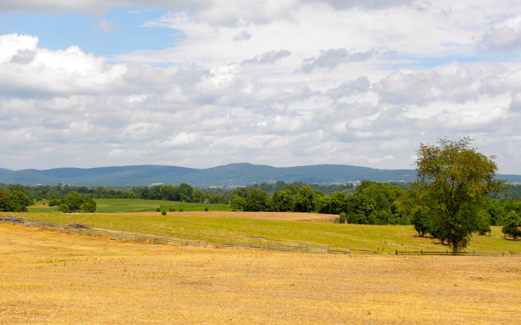
View from the Mumma Farm

bridged light
View towards the East Woods
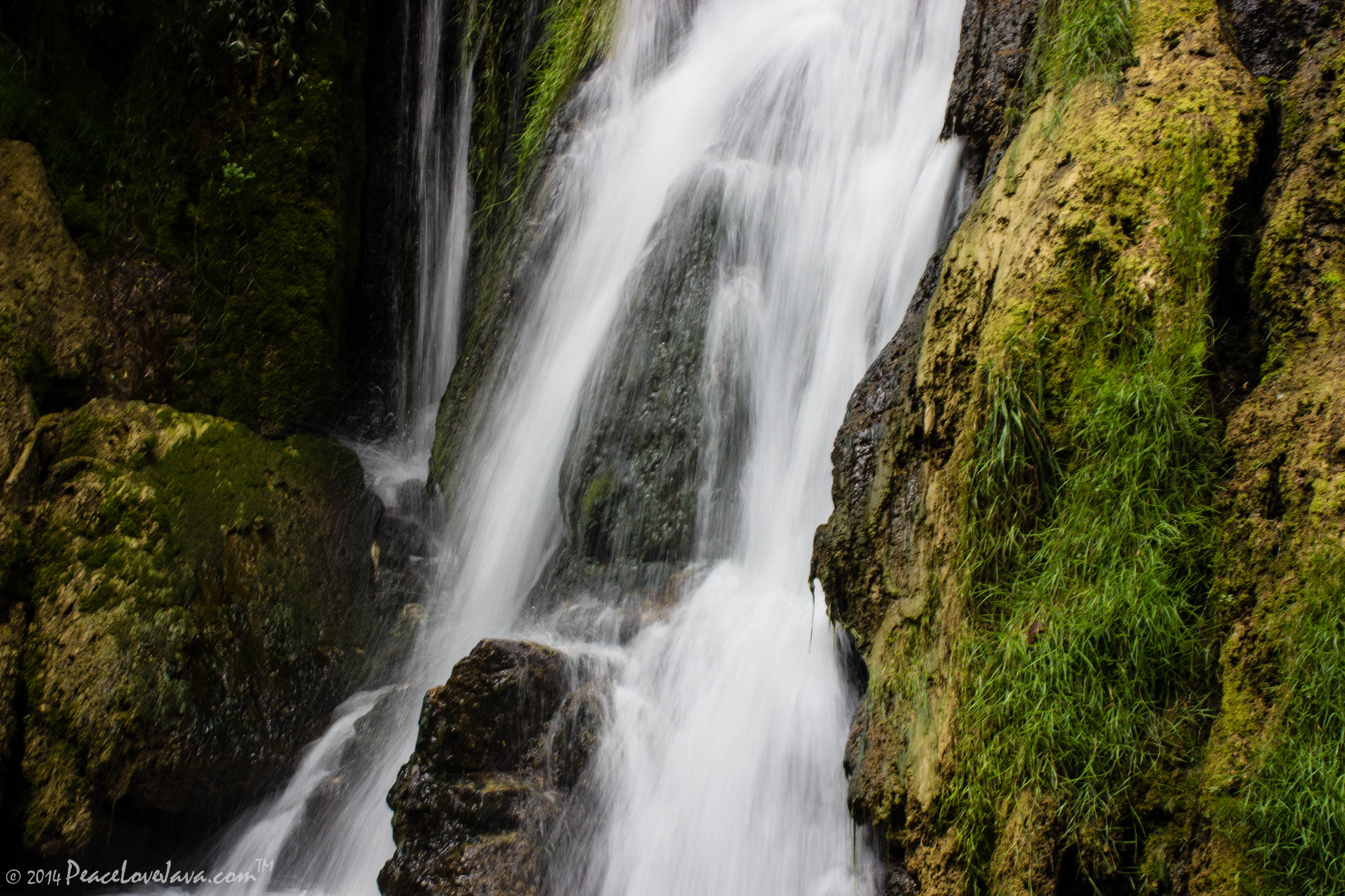
Falling Waters Falls Closeup

Falling Waters Falls

_RWB6254-Edit-Edit.jpg
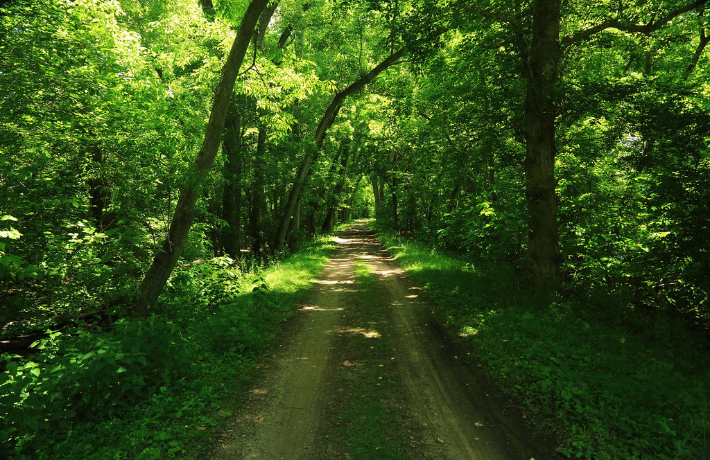
0012 C&O Canal Towpath, MD
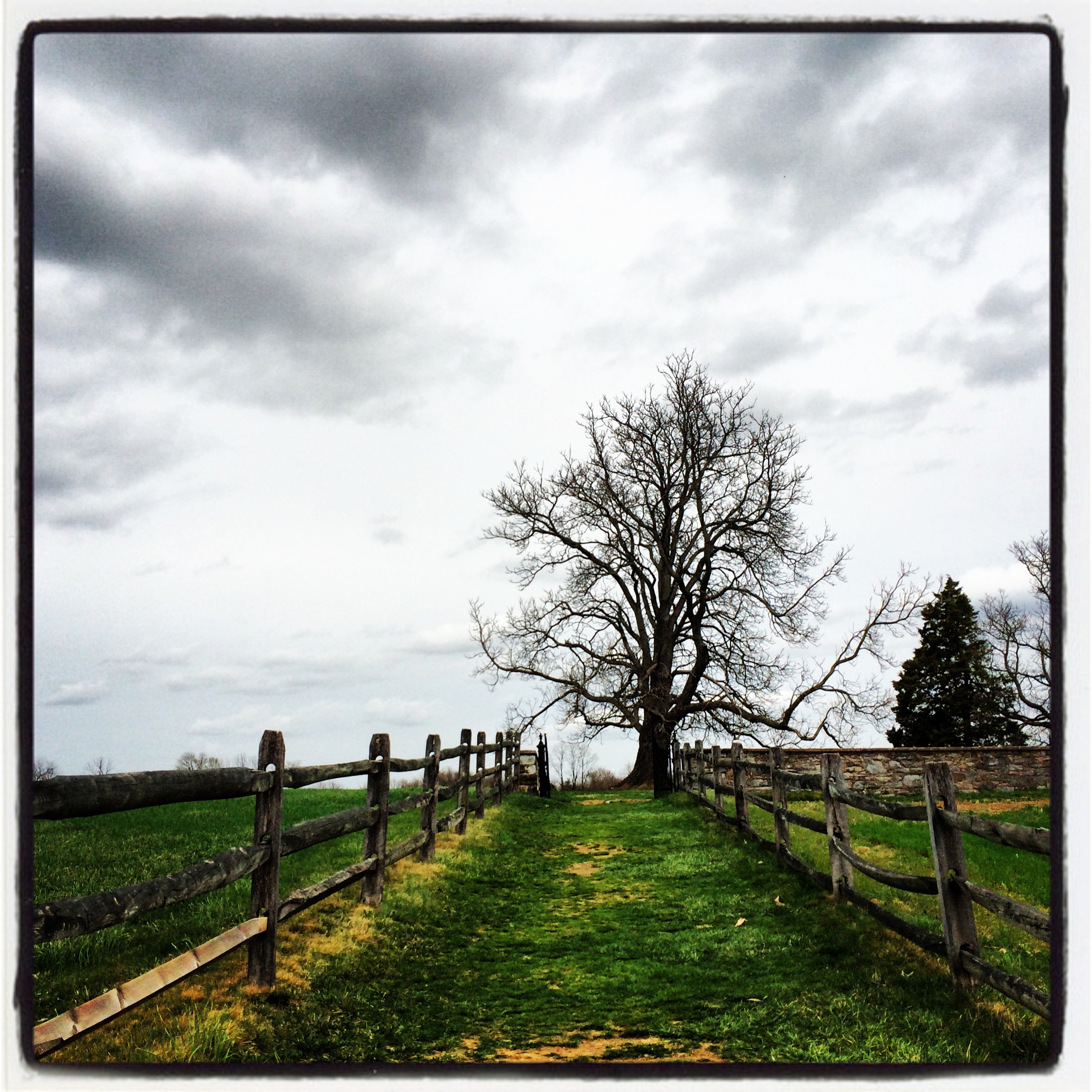
Path to the Mumma Cemetery at Antietam

Morning on the Conococheague Creek in Williamsport MD

Devils Backbone Park, Boonsboro MD waterfall

_RWB6021-Edit.jpg
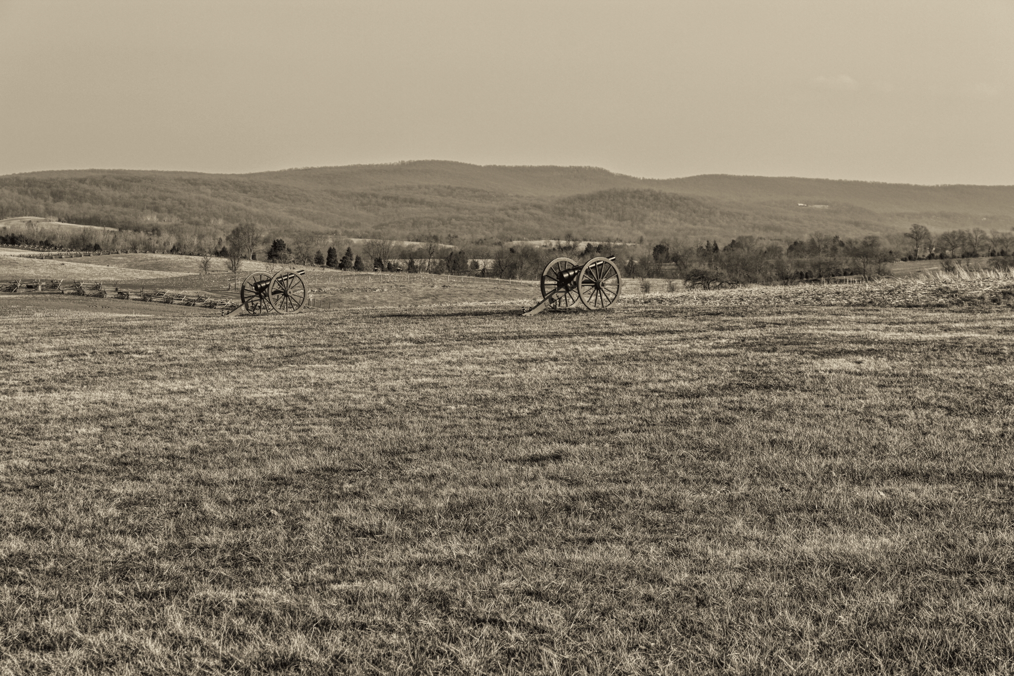
Antietam Battlefield
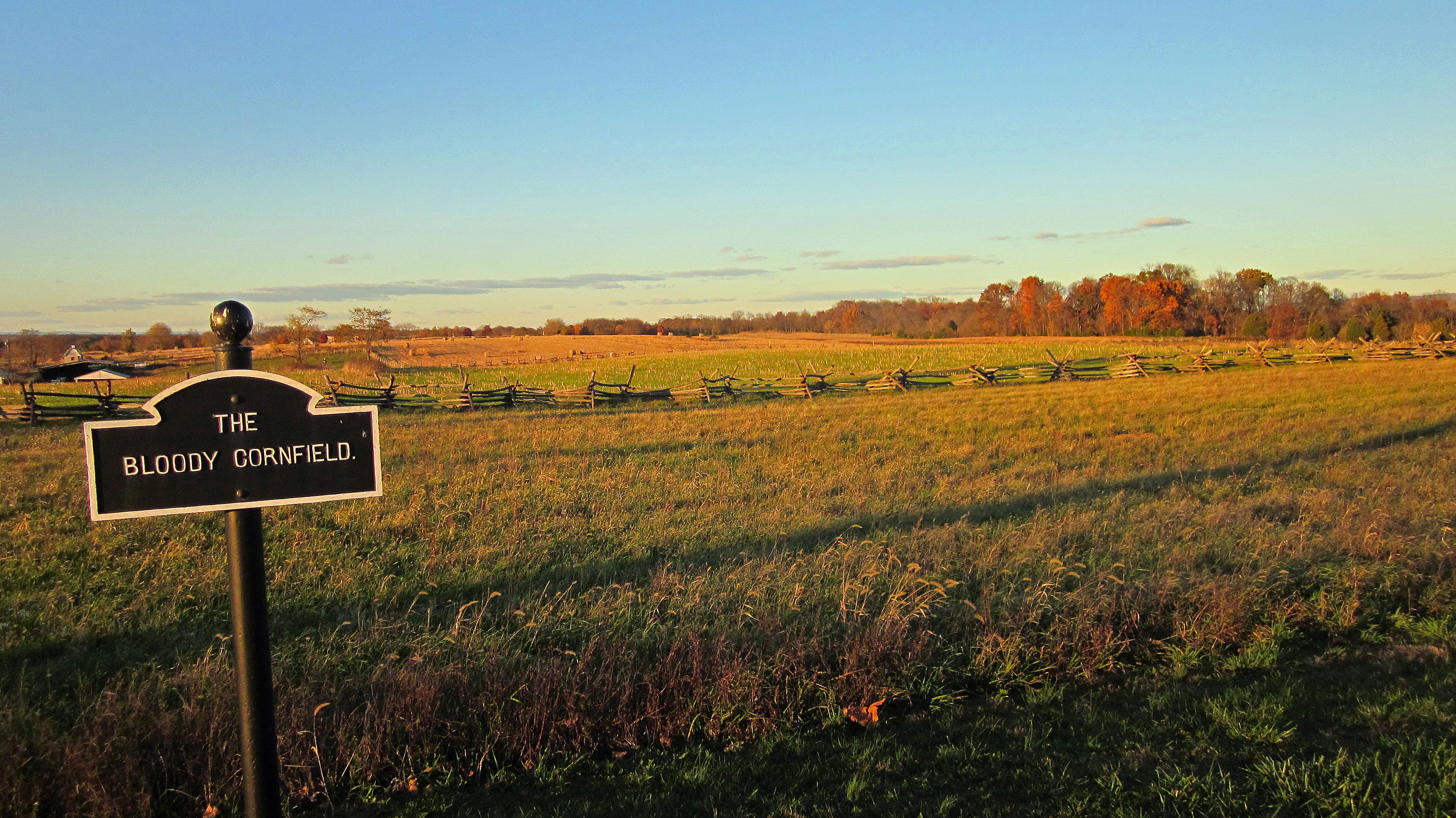
The Bloody Cornfield, Antietam Battlefield

Antietam Battlefield - 2014-06-19 (78)

ANTIETAM BLOODY LANE SUNDOWN

Blair's Valley Lake - 2014-10-23 (7)

Antietam Battlefield - 2014-06-19 (16)

Antietam Battlefield - 2010-04-27 (79)

Antietam Sunset
This is why I like the...
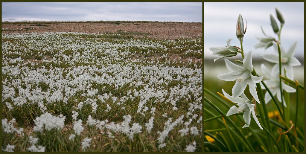
Antietam Flowers

Cornfield, Antietam, remembering September 17, 1862

Twelve-Pound Napoleon Complex
Topographic Map of Trout River Terrace, Falling Waters, WV, USA
Find elevation by address:

Places near Trout River Terrace, Falling Waters, WV, USA:
Piccadilly Court
Marlowe
US-11, Falling Waters, WV, USA
Cunningham Drive
22 Mckown Dr
501 Cunningham Dr
321 Downey Orchard Rd
Falling Waters
97 Wandering Pine Ln
Falling Waters, WV, USA
241 Belvedere Ct
Aspero Lane
895 Stayman Dr
655 Stayman Dr
Potomac
10 E Potomac St
Williamsport
178 Isaiah Ln
2, Williamsport
299 Us-11
Recent Searches:
- Elevation of Chesaw Rd, Oroville, WA, USA
- Elevation of N, Mt Pleasant, UT, USA
- Elevation of 6 Rue Jules Ferry, Beausoleil, France
- Elevation of Sattva Horizon, 4JC6+G9P, Vinayak Nagar, Kattigenahalli, Bengaluru, Karnataka, India
- Elevation of Great Brook Sports, Gold Star Hwy, Groton, CT, USA
- Elevation of 10 Mountain Laurels Dr, Nashua, NH, USA
- Elevation of 16 Gilboa Ln, Nashua, NH, USA
- Elevation of Laurel Rd, Townsend, TN, USA
- Elevation of 3 Nestling Wood Dr, Long Valley, NJ, USA
- Elevation of Ilungu, Tanzania