Elevation of Marlowe, Potomac, WV, USA

Location: United States > West Virginia > Berkeley County > Potomac > Falling Waters >

Longitude: -77.859440

Latitude: 39.58843

Elevation: -10000m / -32808feet

Barometric Pressure: 295KPa

Elevation Map:

elevation map of Marlowe, Potomac, WV, USA

Satellite Map:

Satellite map of Marlowe, Potomac, WV, USA

Related Photos:

antietam antietamnationalbattlefield church dunkerchurch maryland sharpsburg tree window
Looking Out The Church Window.
bigpool maryland washingtonco forts fortfredericksp mdstateparks barracks paradeground 1756 frenchindianwar mdhistory nrhp nhl
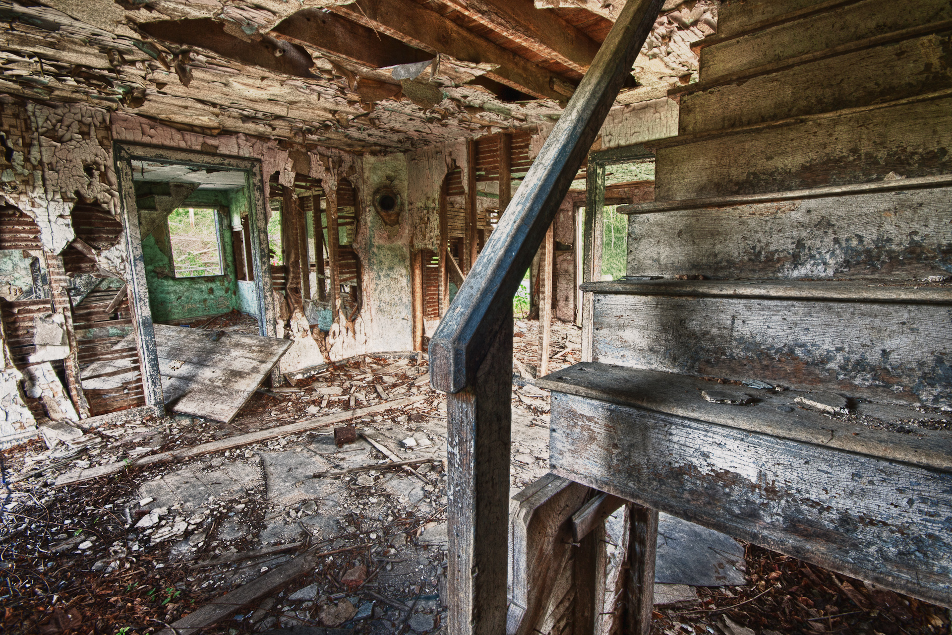
Ft Frederick State Park ~ barracks
drone dji mavic2pro aerial dronephotography hagerstown city urban winter snow
Rectangular Square
drone dji mavic2pro aerial dronephotography hagerstown city urban winter snow
South Side Of The Sky
longexposure bridge blackandwhite water clouds canon river eos md maryland 7d potomac potomacriver canonlens us11 ncstateparks longexposurephotography 1018mm canoneos7d canon7d efs1018mm
US 11-1-2
hagerstown maryland md csx train locomotive 3142 rt route 81 bridge aerial drone view
CSX Train in Hagerstown, MD
cocanal historicculvert116 pano
Historic Culvert 116 (Marsh Run)
statepark park camping trees camp sky tree history skyline night stars marquee fly tents md nikon maryland historic fullmoon canvas nikkor treeline amateur 18thcentury wedge primitive livinghistory fortfrederick walltent 18200mm d90 delayedshutter marketfair bigpool tpod
Candlelight Under the Stars
williamsport md maryland washingtoncounty wv westvirginia berkeleycounty potomacriver us11 bridge 1909 chesapeakeohiocanalhistoricalpark bmok forevermoorewed roadgeek roadfan
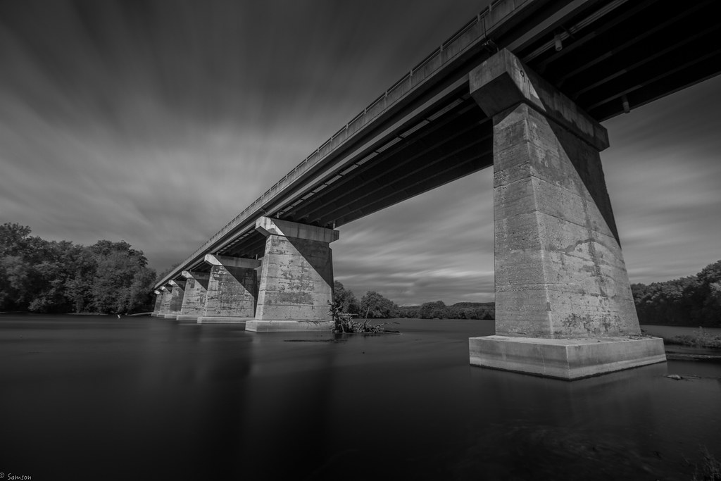
US11 bridge over the Potomac River
antietamnationalbattlefieldsharpsburgmd antietammd roncogswell viewnorthtowardthecornfieldafterdemolitionofthewilsonfarmantietamnationalbattlefieldmd civilwartrust
View North toward the Cornfield after Demolition of the Wilson Farm -- Antietam National Battlefield (MD) July 2018
morning house abandoned broken stairs sunrise dawn peeling shadows decay creepy spooky hdr dessicate
On The Opposite Side
autumn house fall md october hiking lock maryland trail co potomac cocanal midatlantic lockkeepershouse jerbec lock48 lock47
Fall on the C&O Canal Trail
autumn house fall md october hiking lock maryland trail co potomac cocanal midatlantic fourlocks lockkeepershouse jerbec
Fall on the C&O Canal Trail
antietamnationalbattlefieldmd antietambattlefieldsharpsburgmd roncogswell panoramathecornfieldantietamnationalbattlefieldsharpsburgmd thecornfieldantietamnationalbattlefieldsharpsburgmd thecornfieldantietamnationalbattlefieldmd thebloodycornfieldantietamnationalbattlefieldmd
Panorama -- 'The Bloody Cornfield' Antietam National Battlefield Sharpsburg (MD) April 2019
farmhouse civilwar civilwarbattlefields antietambattlefield
Joseph Poffenberger Farm
nationalpark nikon maryland civilwar antietam battlefield dslr sharpsburg d80
Hagarstown Road at Antietam
park bridge reflection water md nikon arch hdr highdynamicrange hagerstown wilsonbridge photomatix nikond90
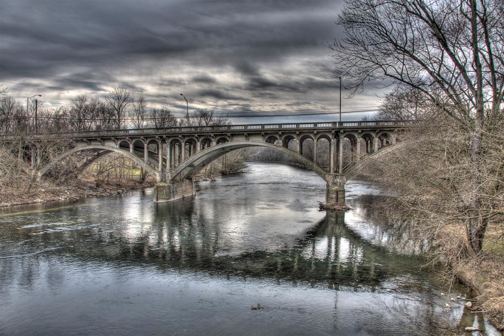
Bridge Meeting Water
bigpool maryland washingtonco forts fortfredericksp mdstateparks walls stonework mdhistory 1756 frenchindianwar nrhp nhl
Ft Frederick State Park
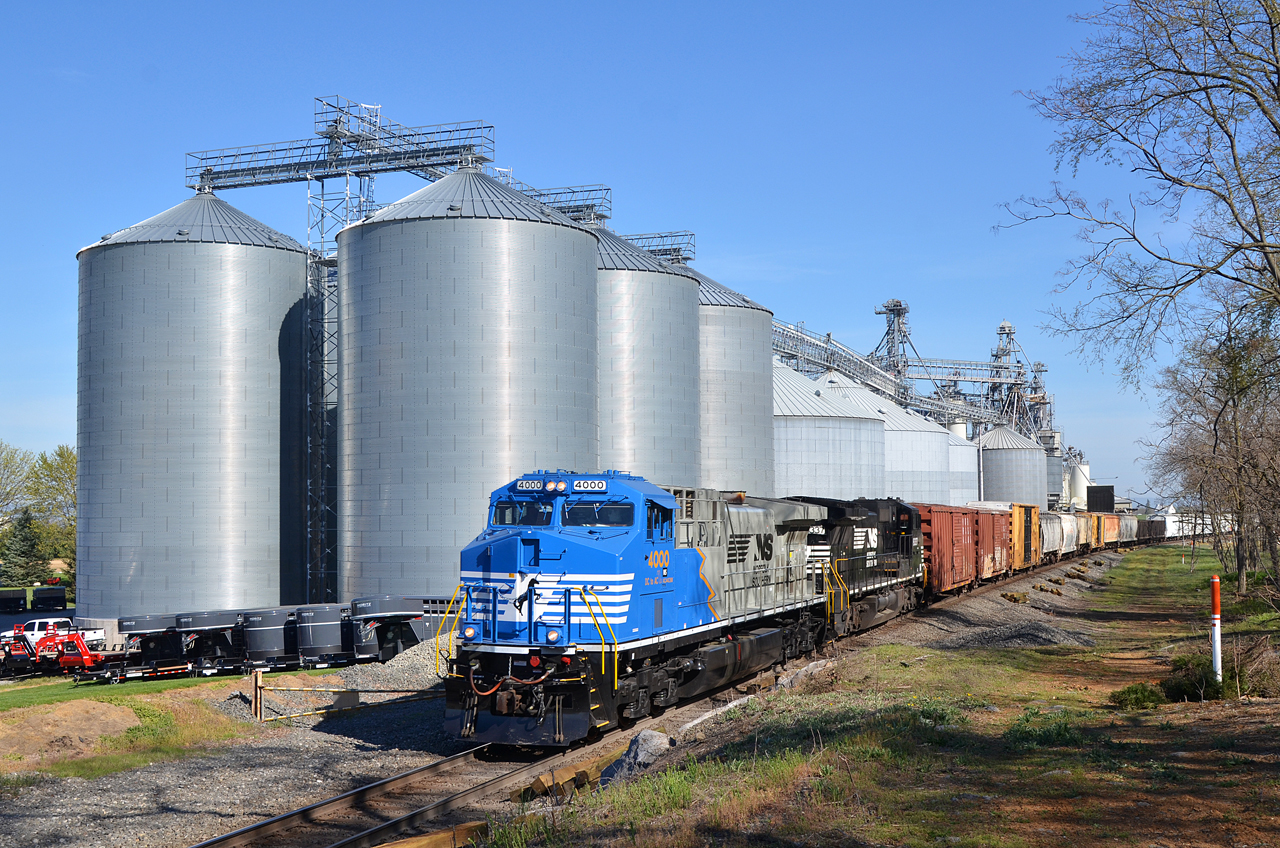
2016 04-18 9:33AM NS AC44C6M-4000 S/B 37-Q, Maugansville, MD
Sunset On The Six Eight
City Square
maryland monument antietam national battlefield memorial early spring sunlight wind clouds blue sky trees grass uscivilwar history
The New Day Brings its Shining Sun
water forest woodland river landscape nationalpark maryland northamerica potomacriver historicsite washingtoncounty
Four Locks
cocanal historicculvert124 path towpath landscape
Bluebells, herald of spring
drmillerfarm antietamnationalbattlefield civilwar union confederate north south generalhooker generalstonewalljackson sharpsburg maryland thecornfield warbetweenthestates sunset landscape history america war battle army nikon d300s
D.R. Miller Farm, Antietam National Battlefield, Sharpsburg, Maryland
Drive by
landscape waterfall md scenic maryland falls antietamcreek lowlightphotography silkywater landscapephotograph boonsboromaryland devilsbackbonepark
Devils Backbone Park, Boonesboro MD silky water
blue autumn sky fall grass clouds driving maryland roadtrip fields iphone5 clearspringmd
Somewhere in Maryland
landscape waterfall md scenic maryland falls antietamcreek lowlightphotography silkywater landscapephotograph boonsboromaryland devilsbackbonepark
Devils Backbone Park, Boonsboro MD waterfall
bridge sky reflection water reflections md nikon skies arch hdr highdynamicrange hagerstown rt40 photomatix nikond90
Reflect Yourself
bird antigonecanadensis
Sandhill Crane
blue reflection yellow barn va joeldeluxe shepherdstown wetland nctc westva nationalconservationtrainingcenter
Reflections of the Rec Center
sunset landscape md sundown scenic maryland antietambattlefield sharpsburgmd marylandmonument landscapephotograph antietammaryland
Antietam - The Maryland Monument at sundown
history bronze maryland weapon cannon artillery antietam battlefield nationalparkservice westernmaryland ordnance marylandliving
Twelve-Pound Napoleon Complex
park statepark homestead house field clouds sky skyporn cloudporn
Homesteadin'
marylandbridges
Autumn in Maryland 23 Oct 2018 (174)Devil's Backbone Park
maryland westernmaryland battlefield battle history historical antietam civilwar americanhistory fence tree
Afternoon At Antietam
history unitedstates civilwar westvirginia historiclandmark fallingwaters fallingwatersfalls
Falling Waters Falls Closeup
NS 16T - Maugansville, MD
morning sunrise landscape md scenic maryland potomacriver cocanal cushwa canaltowpath conococheaguecreek landscapephotograph williamsportmaryland cushwasbasin
Morning on the Conococheague Creek in Williamsport MD
history unitedstates civilwar westvirginia historiclandmark fallingwaters fallingwatersfalls
Falling Waters Falls