Elevation of 97 Wandering Pine Ln, Falling Waters, WV, USA
Location: United States > West Virginia > Berkeley County > Potomac > Falling Waters >
Longitude: -77.884613
Latitude: 39.593763
Elevation: 147m / 482feet
Barometric Pressure: 100KPa
Elevation Map:
Satellite Map:
Related Photos:
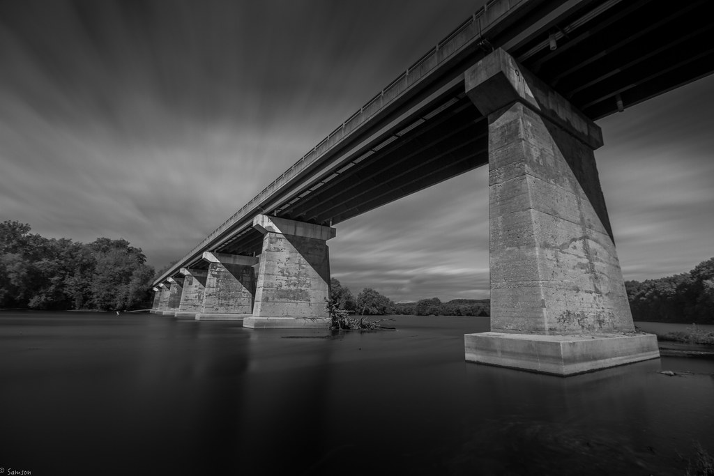
US 11-1-2
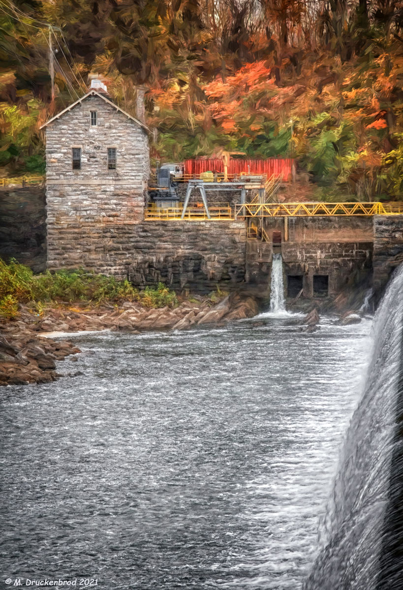
View of the West Virginia Power Plant across Dam No. 4 of the Potomac at Downsville MD
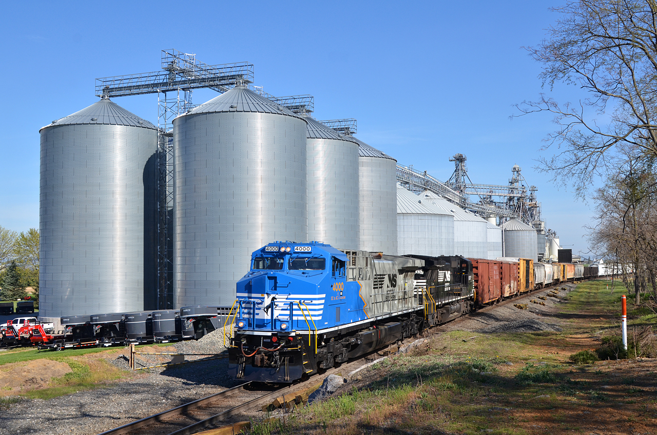
2016 04-18 9:33AM NS AC44C6M-4000 S/B 37-Q, Maugansville, MD

Hasselbladski Viewfinder

1997 06-15 1745 AMTK P40DC-816 W/B P029 CL Martinsburg, WV

2021-03-10 0822 NS 8014 Jordon Rd, Fairplay, MD

Sunset On The Six Eight

CP Town/NC Tower
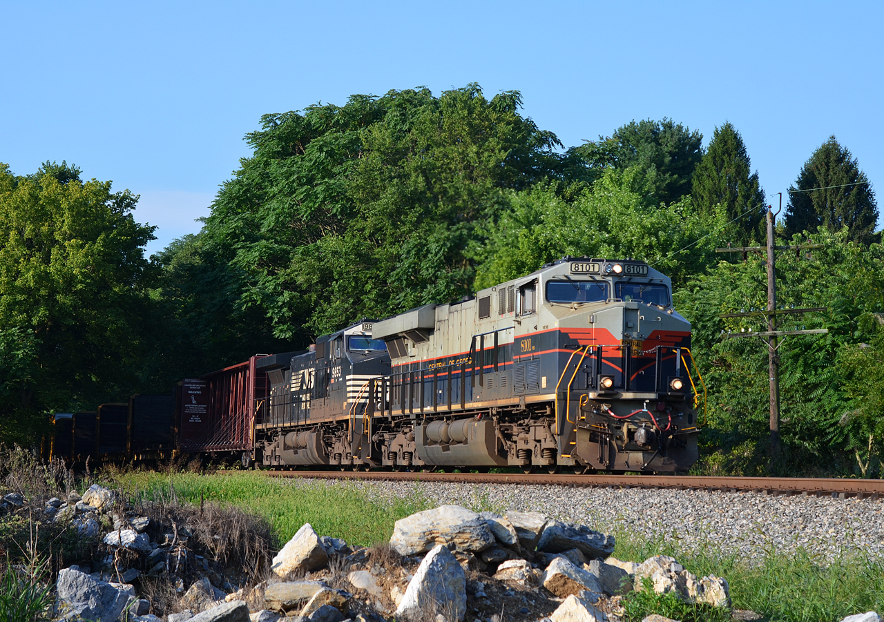
2020 08-11 0813-4 NS-CofG ES44AC-8101 N/B 12R St. James, MD

Panoramic view of Potomac River at Dam 5
On The Knife Edge

Beauty Found

City Square

Doubleday Hill

Rectangular Square

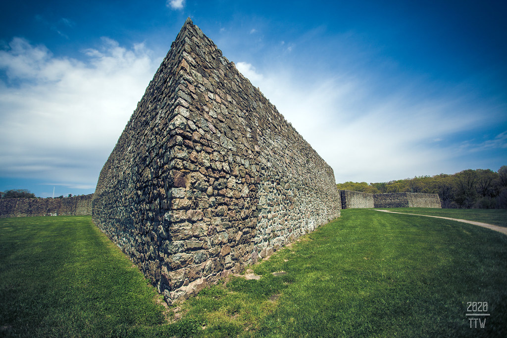
Ft Frederick State Park ~ barracks

2020 07-12 1450-4 NS-N&W ES44AC-8103 S/B 228 Hagerstown, MD

South Side Of The Sky

2020 08-11 0813-92 NS-CofG ES44AC-8101 N/B 12R St. James, MD

2020 07-30 1859-91 NKP ES44AC-8100, LV ES44AC-8104 S/B Q76 Hagerstown, MD

2019 04-02 1816-6 NS F9A-270 S/B 956 Hagerstown, PA

Rainy Snax, Maryland

Falling Waters Falls Closeup

Poko shows off her new log walking skills

Sandhill Crane

Potomac River West Virginia in autumn

Hagerstown MD, the City Park at twilight

Fall on the C&O Canal Trail

Conococheaguen River
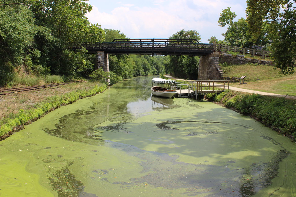
Chesapeake and Ohio Canal

Four Locks

Homesteadin'

Morning on the Conococheague Creek in Williamsport MD

Falling Waters Falls

Bluebells, herald of spring

Anyone Need A Light?

Water Fall on Little Conococheague Creek

Ft. Frederick; Big Pool, MD

NS 203 - Hagerstown, MD

Sheep family

Quality time together
Topographic Map of 97 Wandering Pine Ln, Falling Waters, WV, USA
Find elevation by address:

Places near 97 Wandering Pine Ln, Falling Waters, WV, USA:
Aspero Lane
241 Belvedere Ct
Falling Waters, WV, USA
Piccadilly Court
655 Stayman Dr
895 Stayman Dr
22 Mckown Dr
US-11, Falling Waters, WV, USA
Marlowe
Trout River Terrace
Cunningham Drive
321 Downey Orchard Rd
501 Cunningham Dr
Falling Waters
178 Isaiah Ln
Potomac
671 Colston Dr
Trouble Lane
10 E Potomac St
147 Calvin Dr
Recent Searches:
- Elevation of Groblershoop, South Africa
- Elevation of Power Generation Enterprises | Industrial Diesel Generators, Oak Ave, Canyon Country, CA, USA
- Elevation of Chesaw Rd, Oroville, WA, USA
- Elevation of N, Mt Pleasant, UT, USA
- Elevation of 6 Rue Jules Ferry, Beausoleil, France
- Elevation of Sattva Horizon, 4JC6+G9P, Vinayak Nagar, Kattigenahalli, Bengaluru, Karnataka, India
- Elevation of Great Brook Sports, Gold Star Hwy, Groton, CT, USA
- Elevation of 10 Mountain Laurels Dr, Nashua, NH, USA
- Elevation of 16 Gilboa Ln, Nashua, NH, USA
- Elevation of Laurel Rd, Townsend, TN, USA