Elevation of Stayman Dr, Falling Waters, WV, USA
Location: United States > West Virginia > Berkeley County > Potomac > Falling Waters >
Longitude: -77.868236
Latitude: 39.608581
Elevation: 116m / 381feet
Barometric Pressure: 100KPa
Elevation Map:
Satellite Map:
Related Photos:
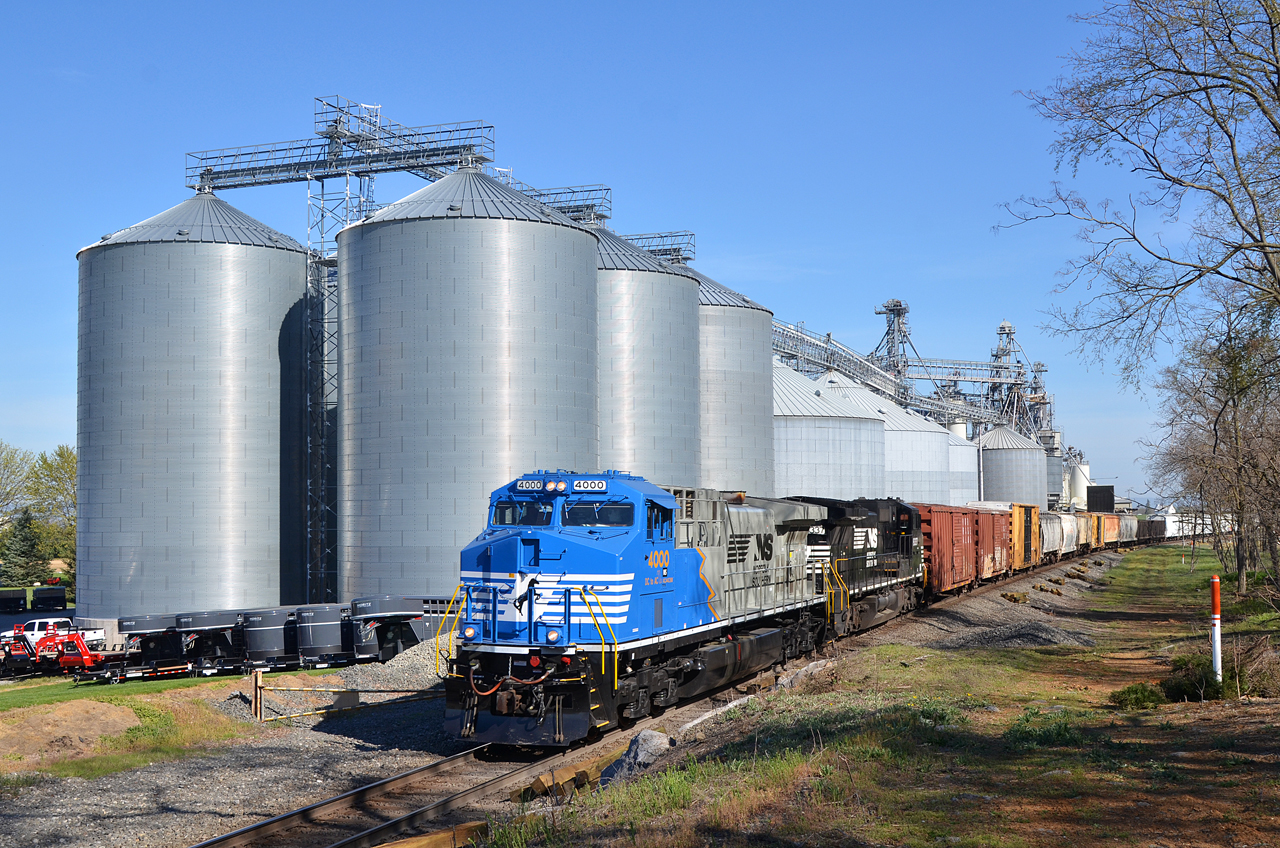
2016 04-18 9:33AM NS AC44C6M-4000 S/B 37-Q, Maugansville, MD

CP Town/NC Tower

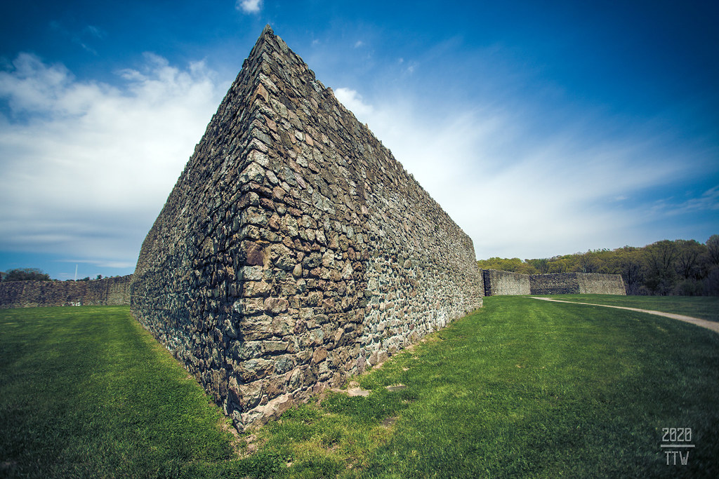
Ft Frederick State Park

Sunset On The Six Eight
On The Knife Edge

Panoramic view of Potomac River at Dam 5

Beauty Found

City Square

Doubleday Hill

South On North

2020 07-12 1450-4 NS-N&W ES44AC-8103 S/B 228 Hagerstown, MD

Ft Frederick State Park ~ barracks

Rectangular Square

2020 07-30 1859-91 NKP ES44AC-8100, LV ES44AC-8104 S/B Q76 Hagerstown, MD

South Side Of The Sky

2020 07-12 1450-1 NS-N&W ES44AC-8103 S/B 228 Hagerstown, MD

2019 04-02 1816-6 NS F9A-270 S/B 956 Hagerstown, PA

2019 04-02 1815-4 NS F9A-270 S/B 956 Hagerstown, PA

2020 07-30 1859-3 NKP ES44AC-8100, LV ES44AC-8104 S/B Q76 Hagerstown, MD

CSX Train in Hagerstown, MD

Candlelight Under the Stars

Homesteadin'

Four Locks

Autumn in Maryland 23 Oct 2018 (174)Devil's Backbone Park

Falling Waters Falls Closeup

Water Fall on Little Conococheague Creek

Anyone Need A Light?

Ft. Frederick; Big Pool, MD

Poko shows off her new log walking skills

Sheep family

Quality time together

Fort Frederick Market Fair
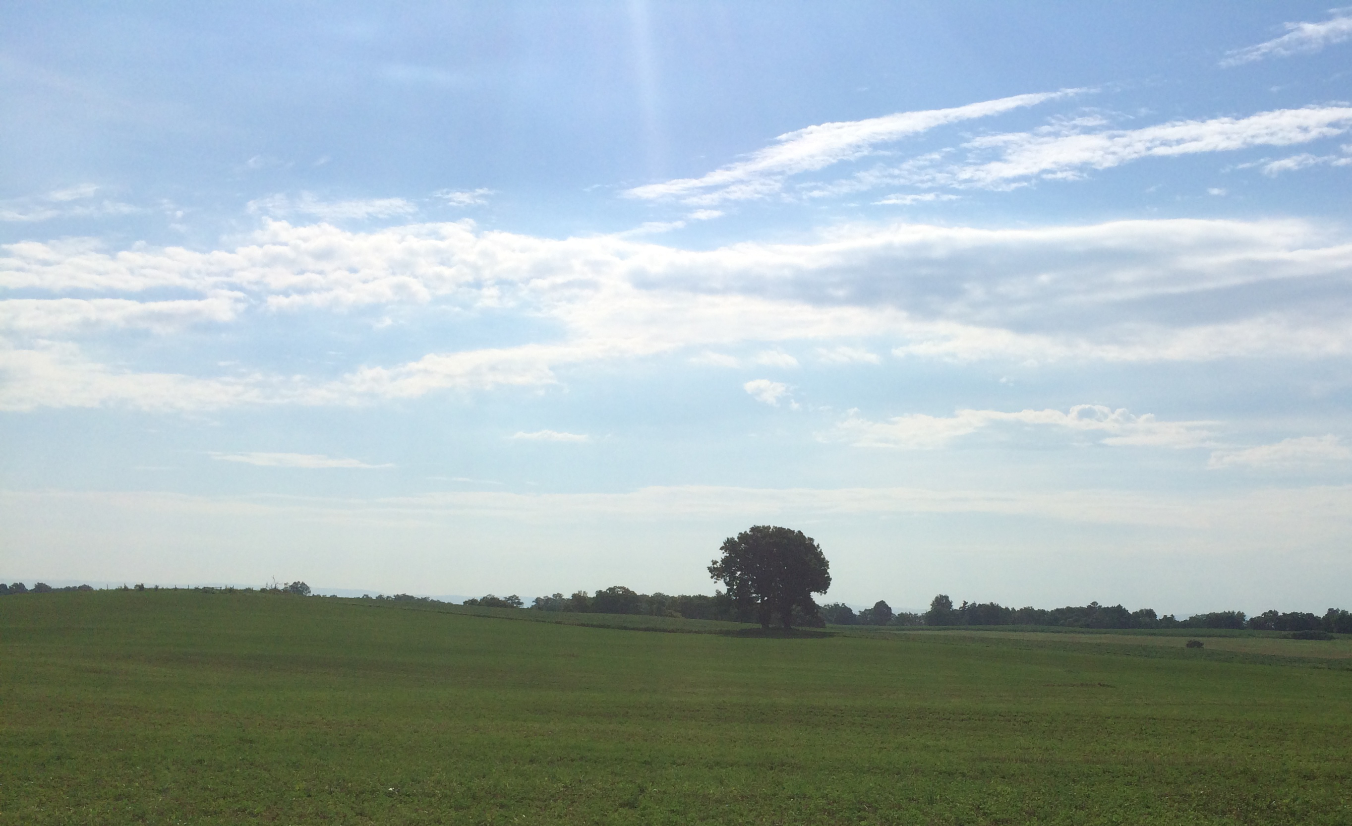
Fields and a tree

Devils Backbone Park, Boonesboro MD silky water

Somewhere in Maryland

Devils Backbone Park, Boonsboro MD waterfall

Chesapeake & Ohio Canal National Historical Park in Washington County, Md.

Sandhill Crane

7952 Potomac River at McCoy's Ferry Ford

Fall on the C&O Canal Trail
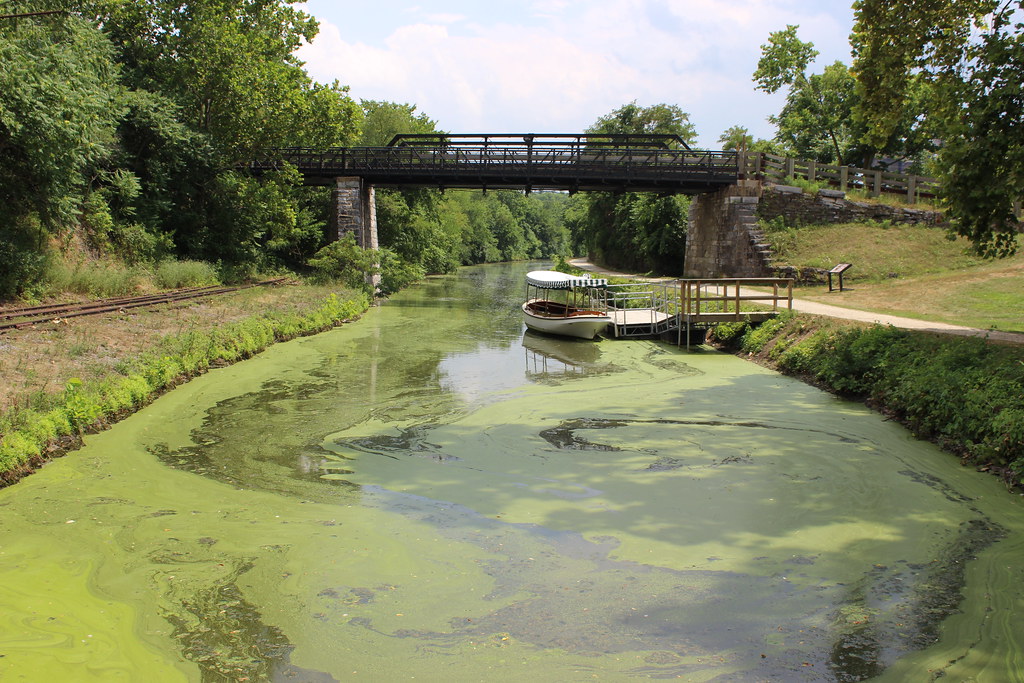
Chesapeake and Ohio Canal
Topographic Map of Stayman Dr, Falling Waters, WV, USA
Find elevation by address:

Places near Stayman Dr, Falling Waters, WV, USA:
655 Stayman Dr
241 Belvedere Ct
321 Downey Orchard Rd
US-11, Falling Waters, WV, USA
Marlowe
97 Wandering Pine Ln
Aspero Lane
Piccadilly Court
Falling Waters, WV, USA
Trout River Terrace
22 Mckown Dr
Cunningham Drive
10 E Potomac St
Williamsport
501 Cunningham Dr
Falling Waters
299 Us-11
310 E Potomac St
2, Williamsport
178 Isaiah Ln
Recent Searches:
- Elevation of 6 Rue Jules Ferry, Beausoleil, France
- Elevation of Sattva Horizon, 4JC6+G9P, Vinayak Nagar, Kattigenahalli, Bengaluru, Karnataka, India
- Elevation of Great Brook Sports, Gold Star Hwy, Groton, CT, USA
- Elevation of 10 Mountain Laurels Dr, Nashua, NH, USA
- Elevation of 16 Gilboa Ln, Nashua, NH, USA
- Elevation of Laurel Rd, Townsend, TN, USA
- Elevation of 3 Nestling Wood Dr, Long Valley, NJ, USA
- Elevation of Ilungu, Tanzania
- Elevation of Yellow Springs Road, Yellow Springs Rd, Chester Springs, PA, USA
- Elevation of Rēzekne Municipality, Latvia