Elevation of Triangle Peak, Montana, USA
Location: United States > Montana > Arlee >
Longitude: -113.87454
Latitude: 47.0932616
Elevation: 2223m / 7293feet
Barometric Pressure: 77KPa
Elevation Map:
Satellite Map:
Related Photos:
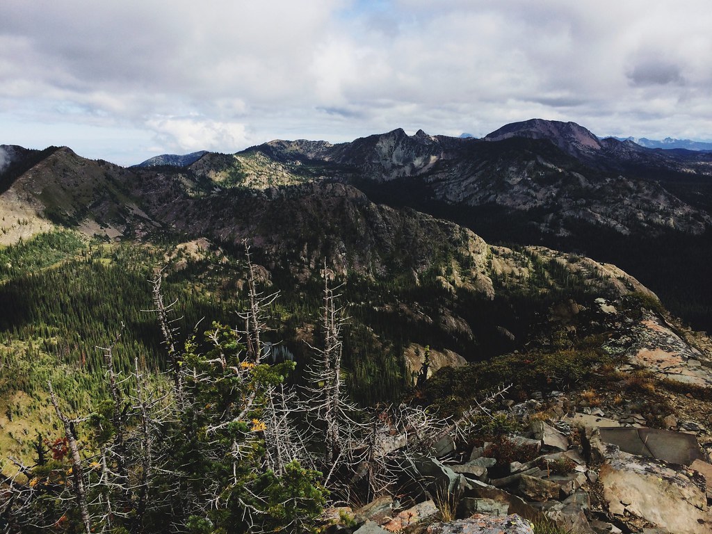
The view beyond Mosquito Peak in the Rattlesnake Wilderness
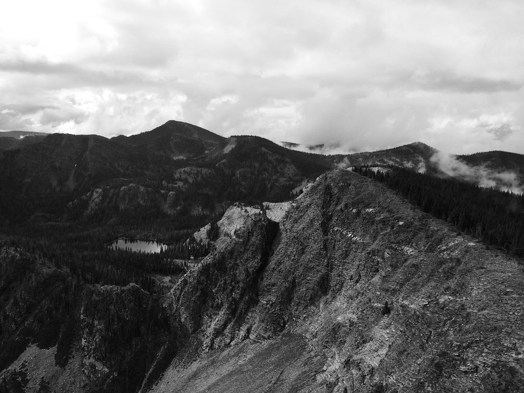
View from Mosquito Peak back to Stuart Peak
Topographic Map of Triangle Peak, Montana, USA
Find elevation by address:

Places near Triangle Peak, Montana, USA:
22000 Jocko Canyon Rd
Missoula, Mount
Missoula County
Big Pines Ln, Missoula, MT, USA
MT-, Missoula, MT, USA
Montana 200
11300 Chumrau Loop
5455 Donovan Creek Rd
Spook Lake
Marshall Lake Road
Clinton
Montana Rail Link Railroad
2000 Snowmass Dr
20575 Killdeer Ln
653 Pine Ridge Rd
Seeley Lake
5147 Mt-83
34280 Sheep Camp Rd
1095 Mecate Ln
879 S Canyon Dr
Recent Searches:
- Elevation of Corso Fratelli Cairoli, 35, Macerata MC, Italy
- Elevation of Tallevast Rd, Sarasota, FL, USA
- Elevation of 4th St E, Sonoma, CA, USA
- Elevation of Black Hollow Rd, Pennsdale, PA, USA
- Elevation of Oakland Ave, Williamsport, PA, USA
- Elevation of Pedrógão Grande, Portugal
- Elevation of Klee Dr, Martinsburg, WV, USA
- Elevation of Via Roma, Pieranica CR, Italy
- Elevation of Tavkvetili Mountain, Georgia
- Elevation of Hartfords Bluff Cir, Mt Pleasant, SC, USA