Elevation of Donovan Creek Rd, Clinton, MT, USA
Location: United States > Montana > Clinton >
Longitude: -113.76299
Latitude: 46.820414
Elevation: 1241m / 4072feet
Barometric Pressure: 87KPa
Elevation Map:
Satellite Map:
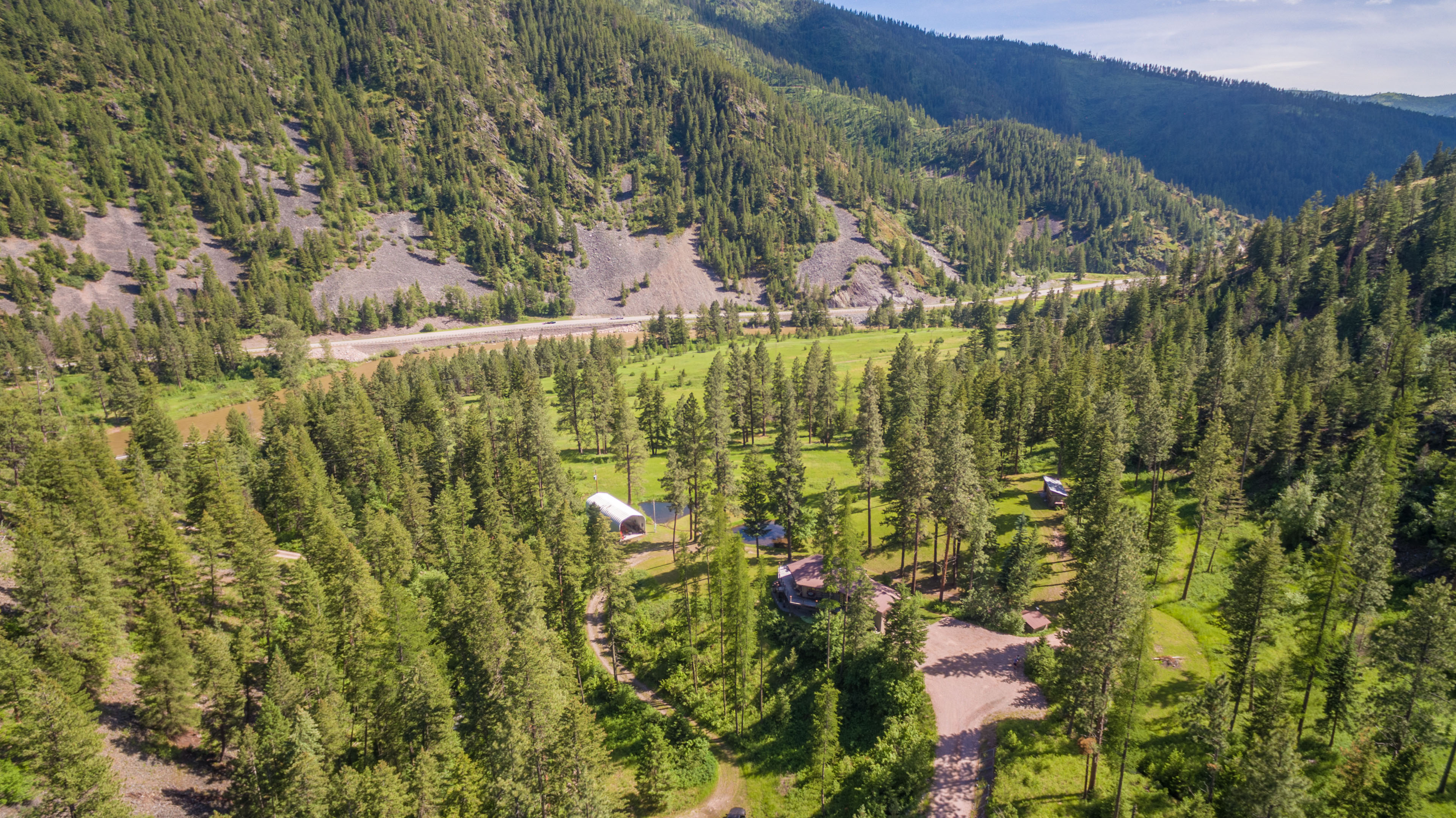
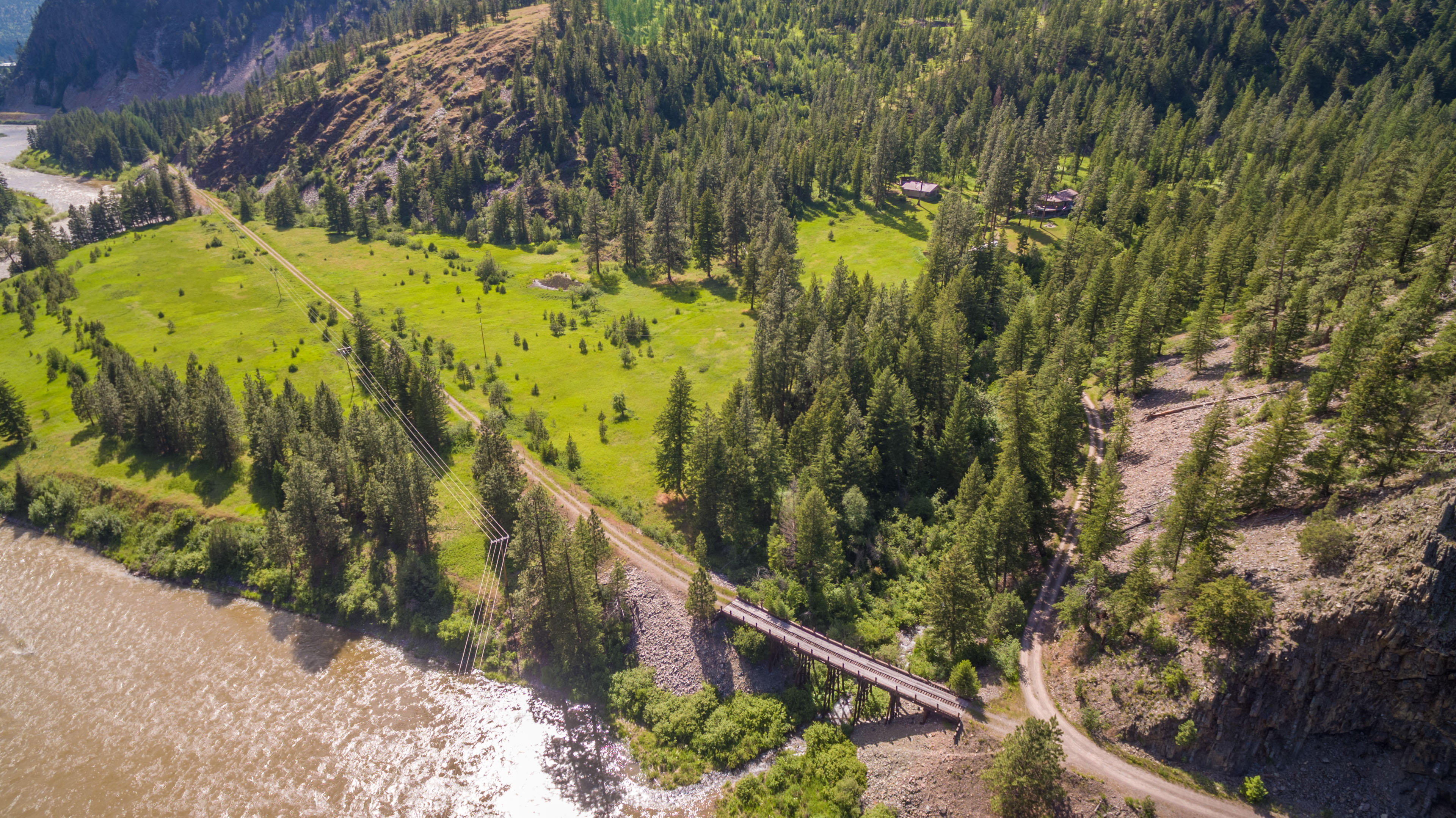
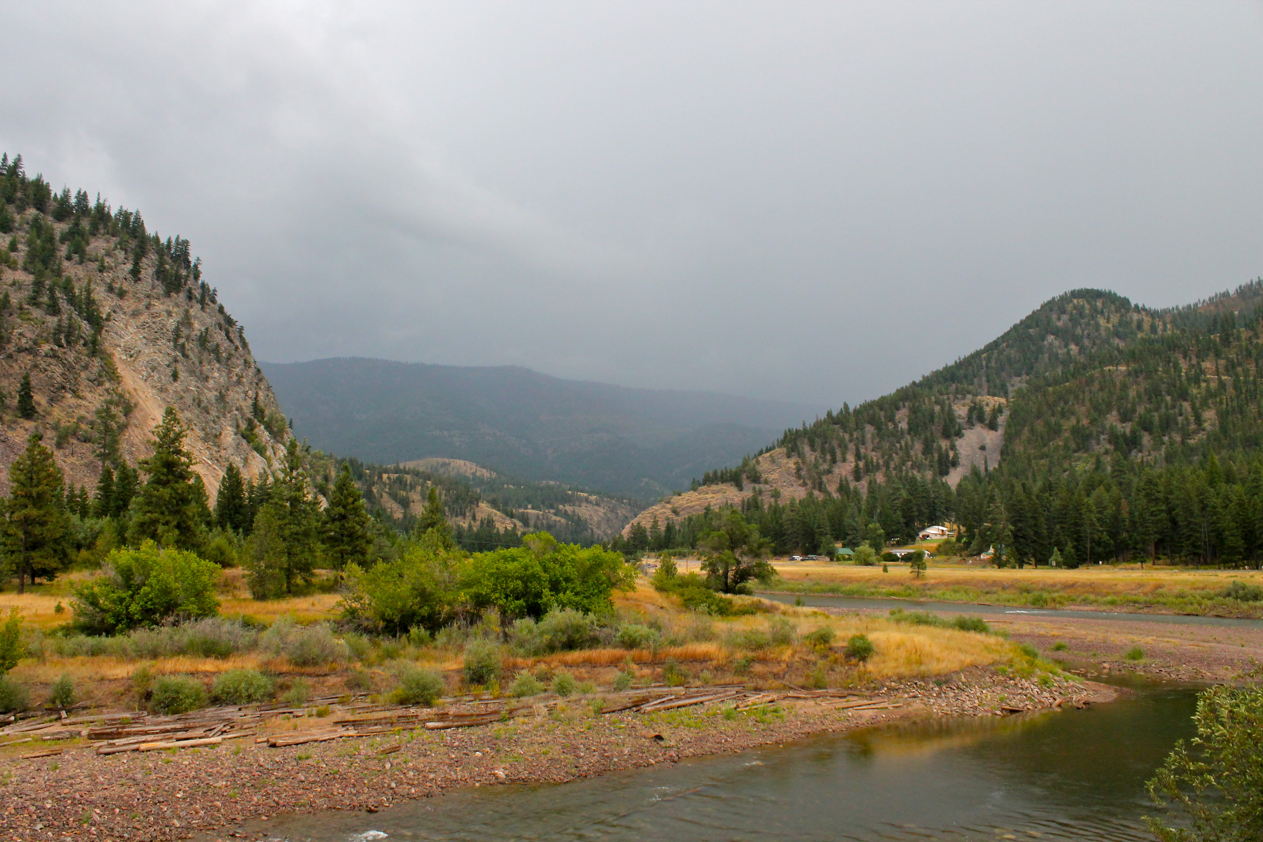
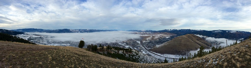
Related Photos:
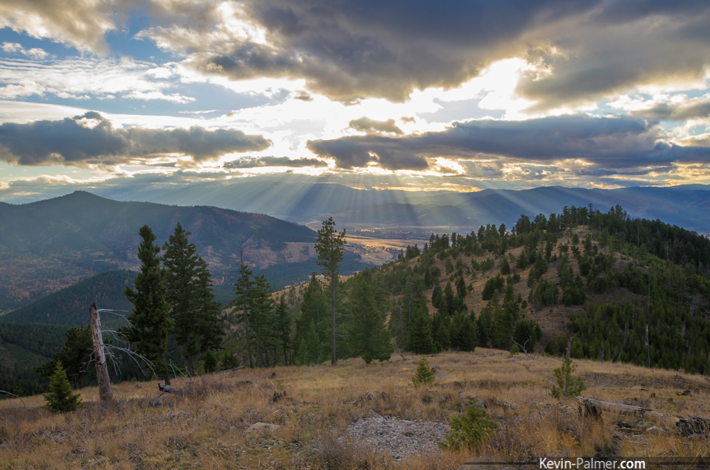
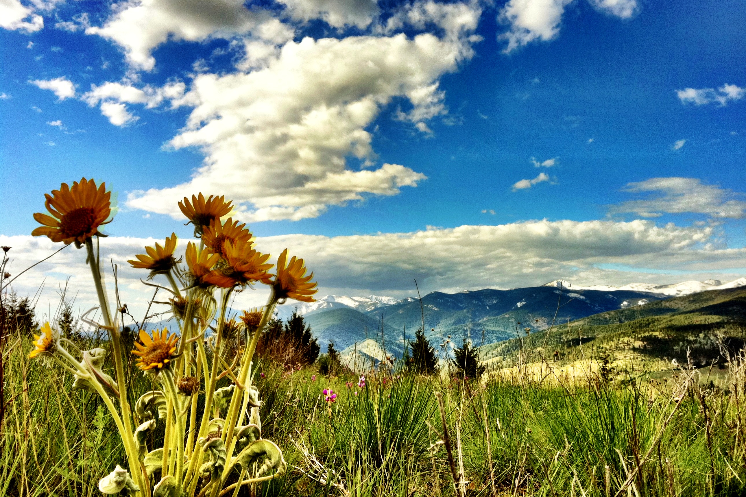
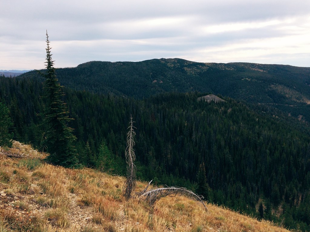
University Mountain Rays
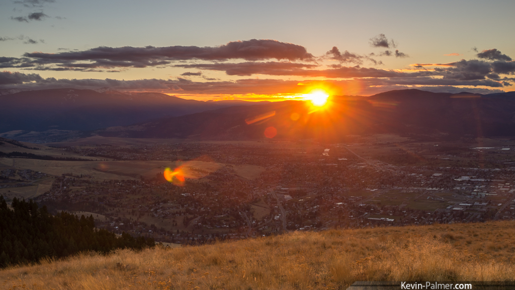
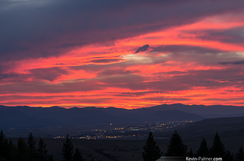
Missoula Sunset
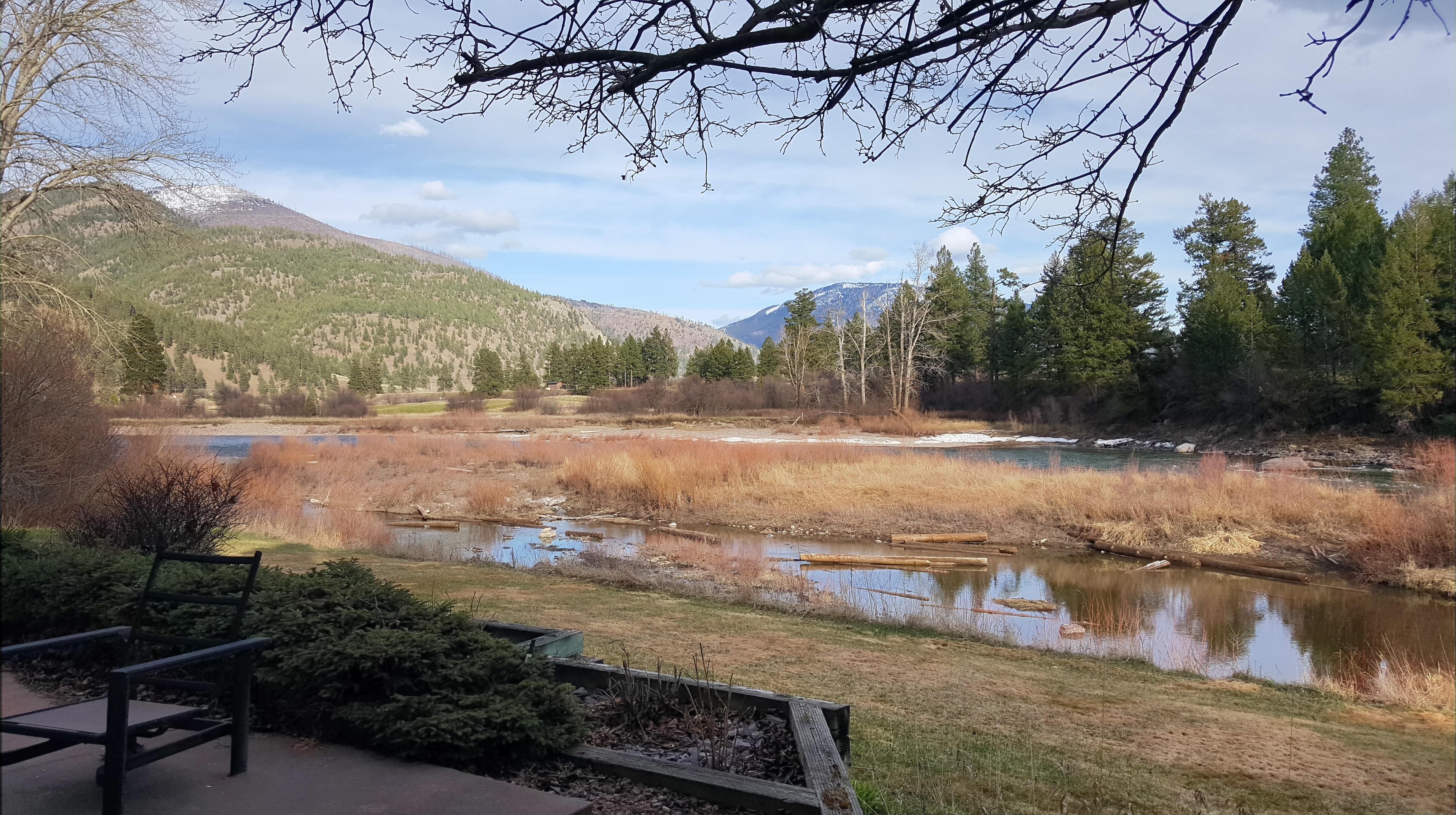
2016 0326 174916
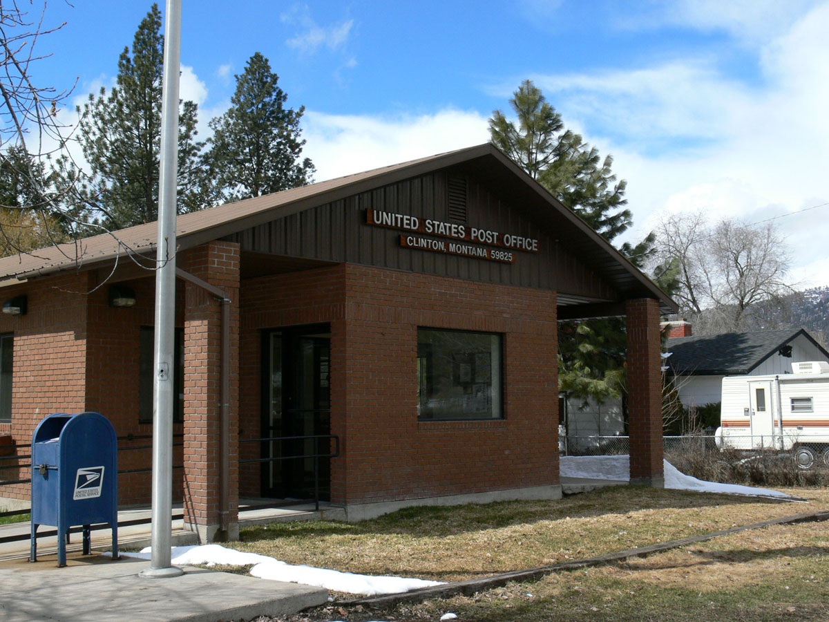
Clinton, Montana 59825

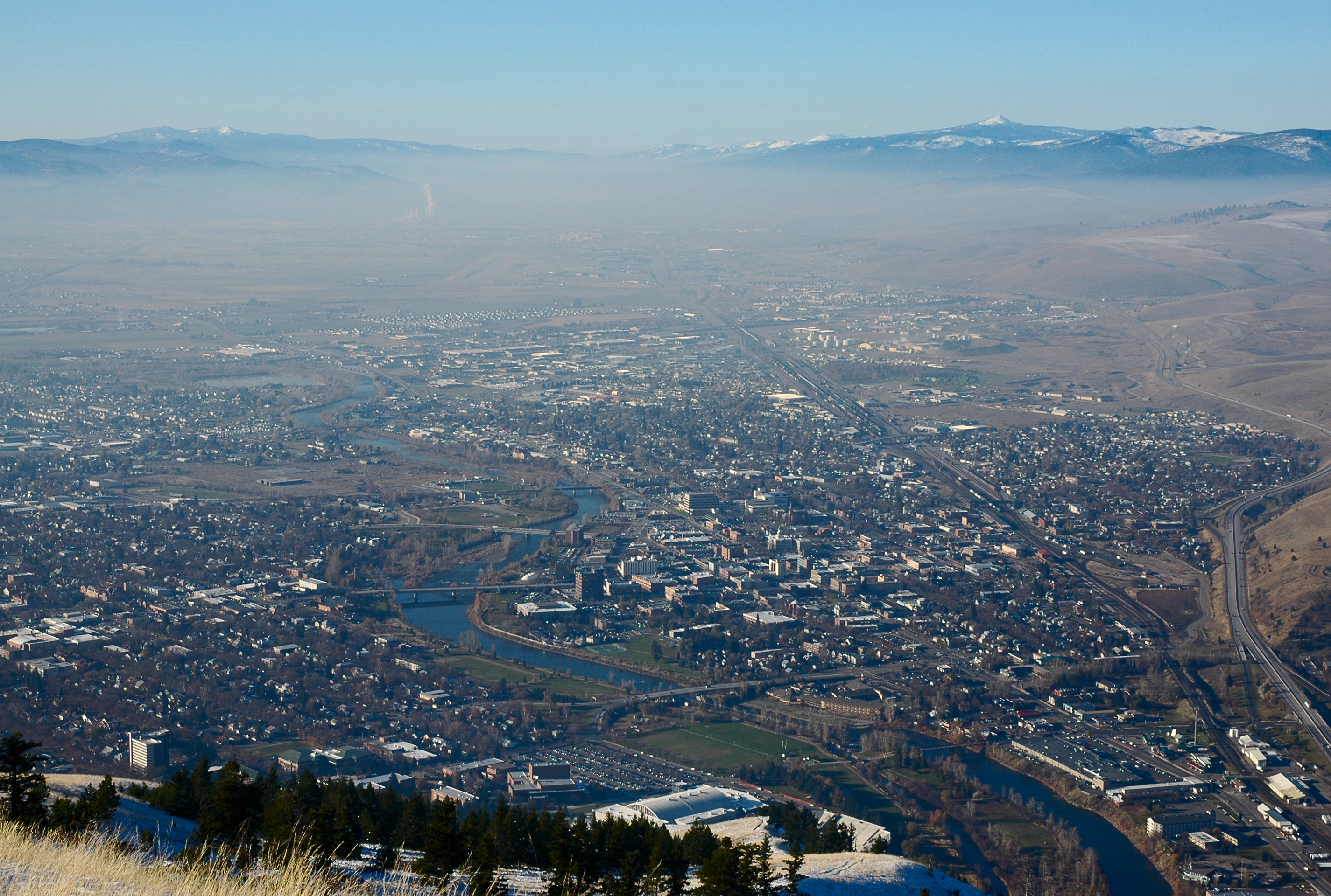
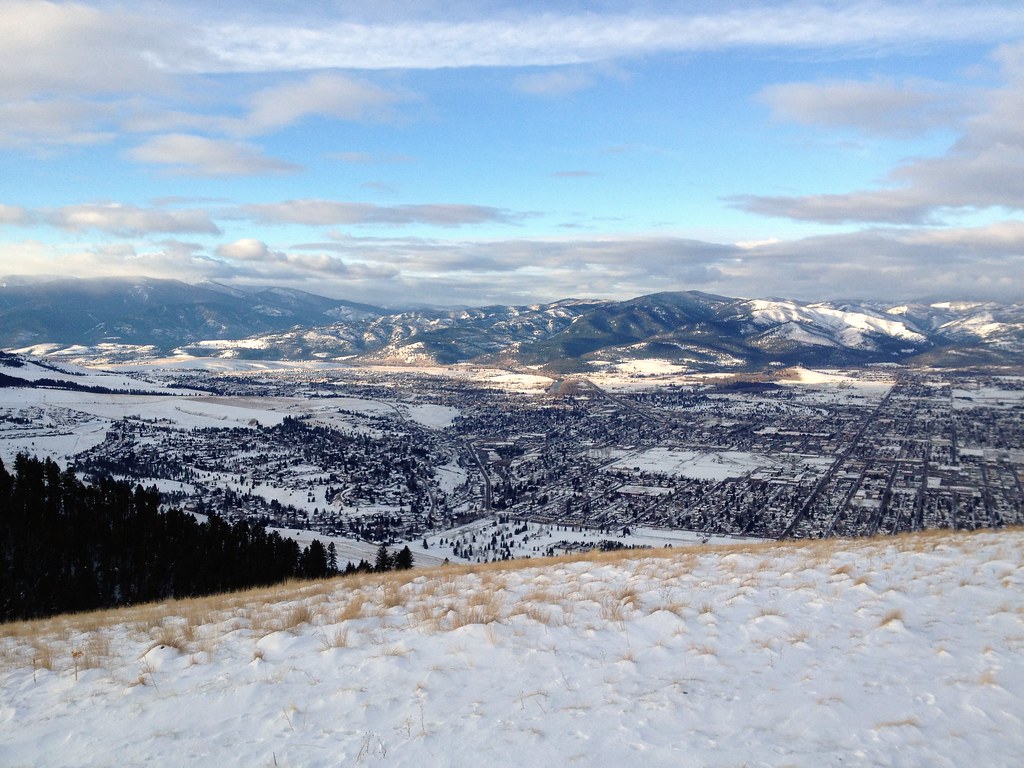
View of Missoula

View from the top
View from Mount Jumbo summit
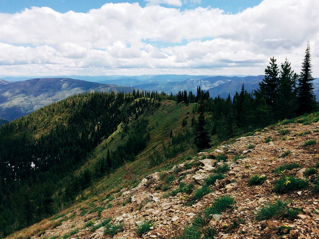
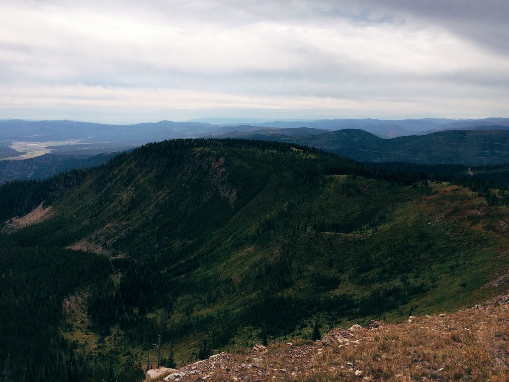
Ridge line view from Blue Point
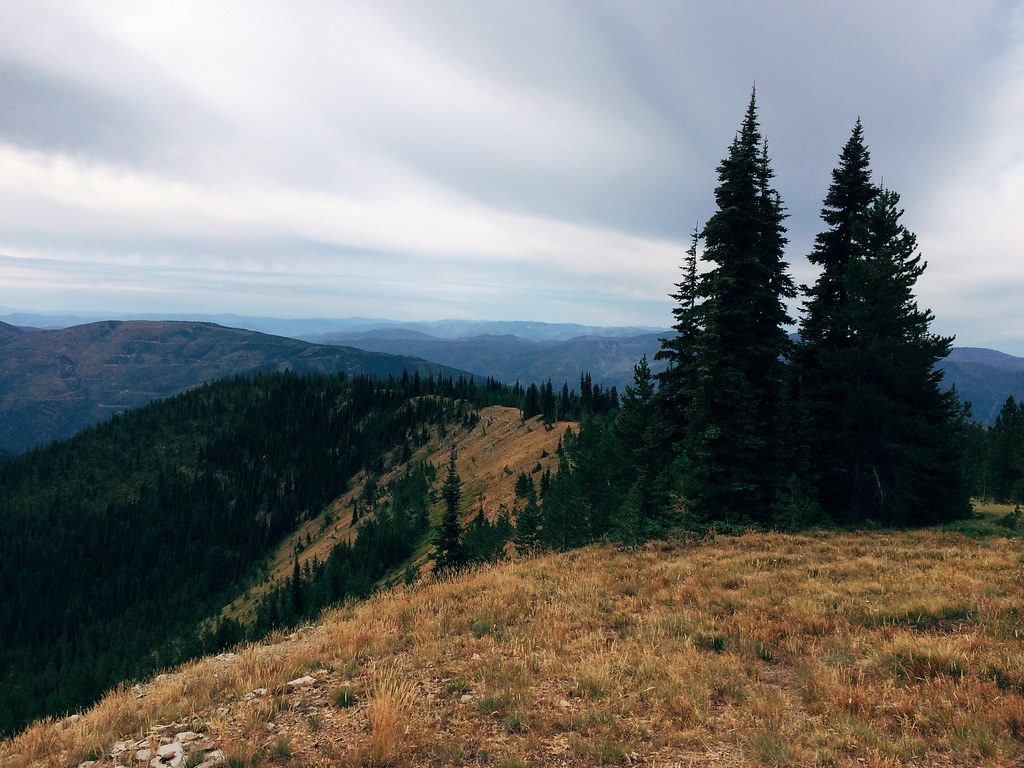
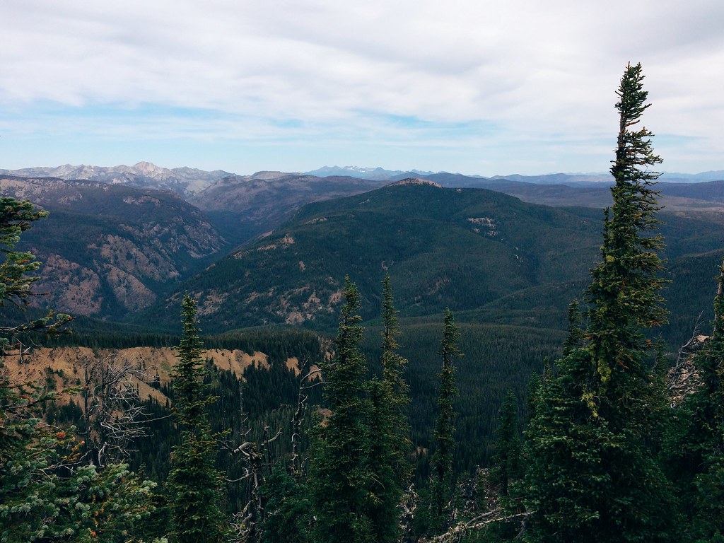
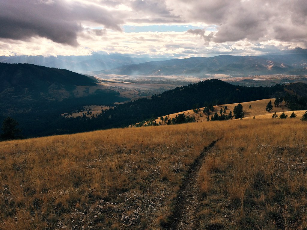
The view at Blue Point on the 26-mile Sheep Mountain loop

Pengelly Ridge view, from my morning run over Mount Sentinel
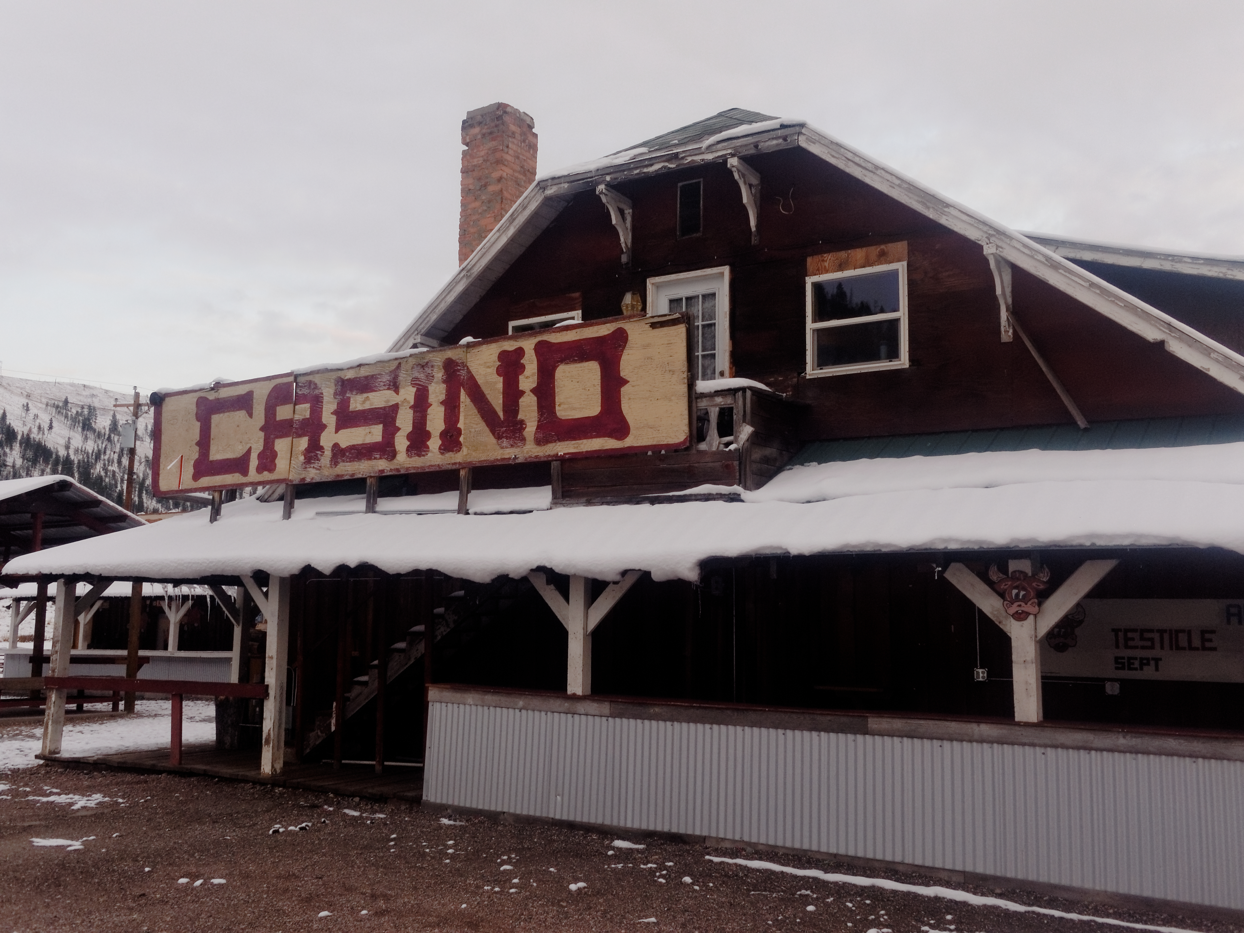
Side View of the Rock Creek Lodge, Clinton, MT
The view at Blue Point on the 26-mile Sheep Mountain loop
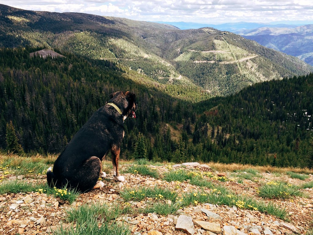
Ridge line view from Blue Point
Missoula Montana
Pipeline Trail
Morning view across Missoula from Mount Sentinel
The view of the Rattlesnake on the 26-mile Sheep Mountain loop
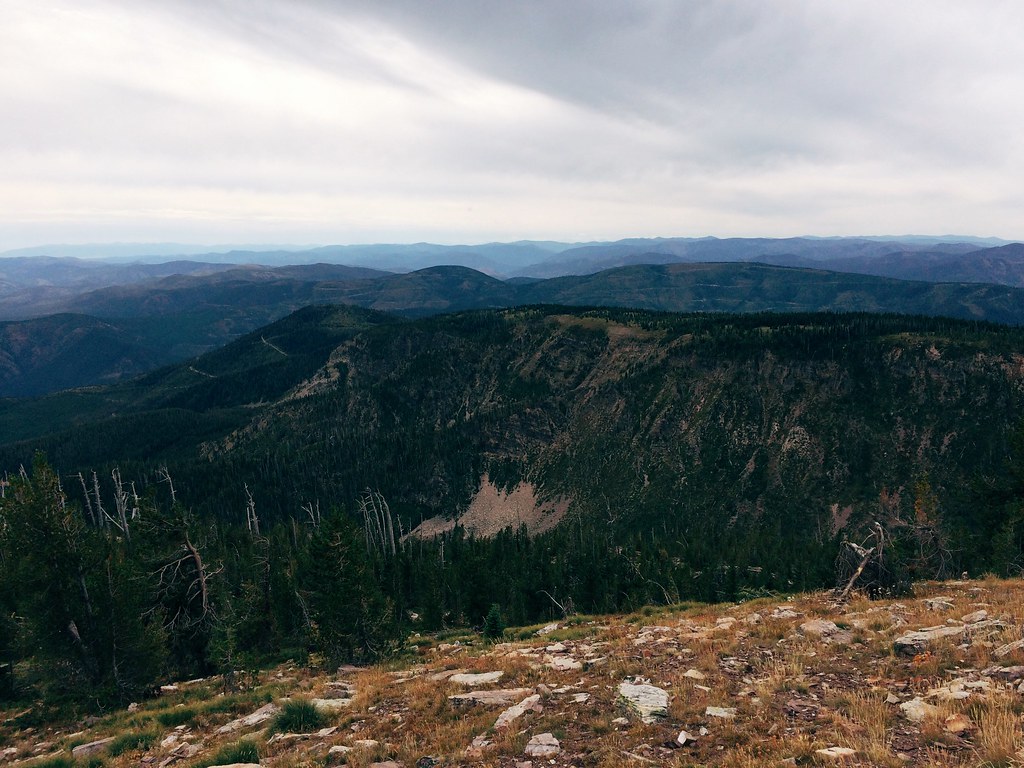
The view from the 26-mile Sheep Mountain loop
Mount Jumbo Sunset
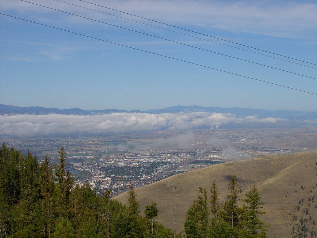
View of Missoula
The view of the Blackfoot on the 26-mile Sheep Mountain loop
DJI_0131-HDR
DJI_0101-HDR
DJI_0116-HDR
Abandoned Homestead / Explore Oct 20
DJI_0081-HDR

MRL 382
Clark Fork Crossing
DJI_0096-HDR
DJI_0121-HDR
Storm in the Mountains
Still a little foggy down in town
Nice light on an afternoon run up to the beacon

Montana Rail Link F45 finale
Morning cloud above Lolo Peak, from Mount Sentinel
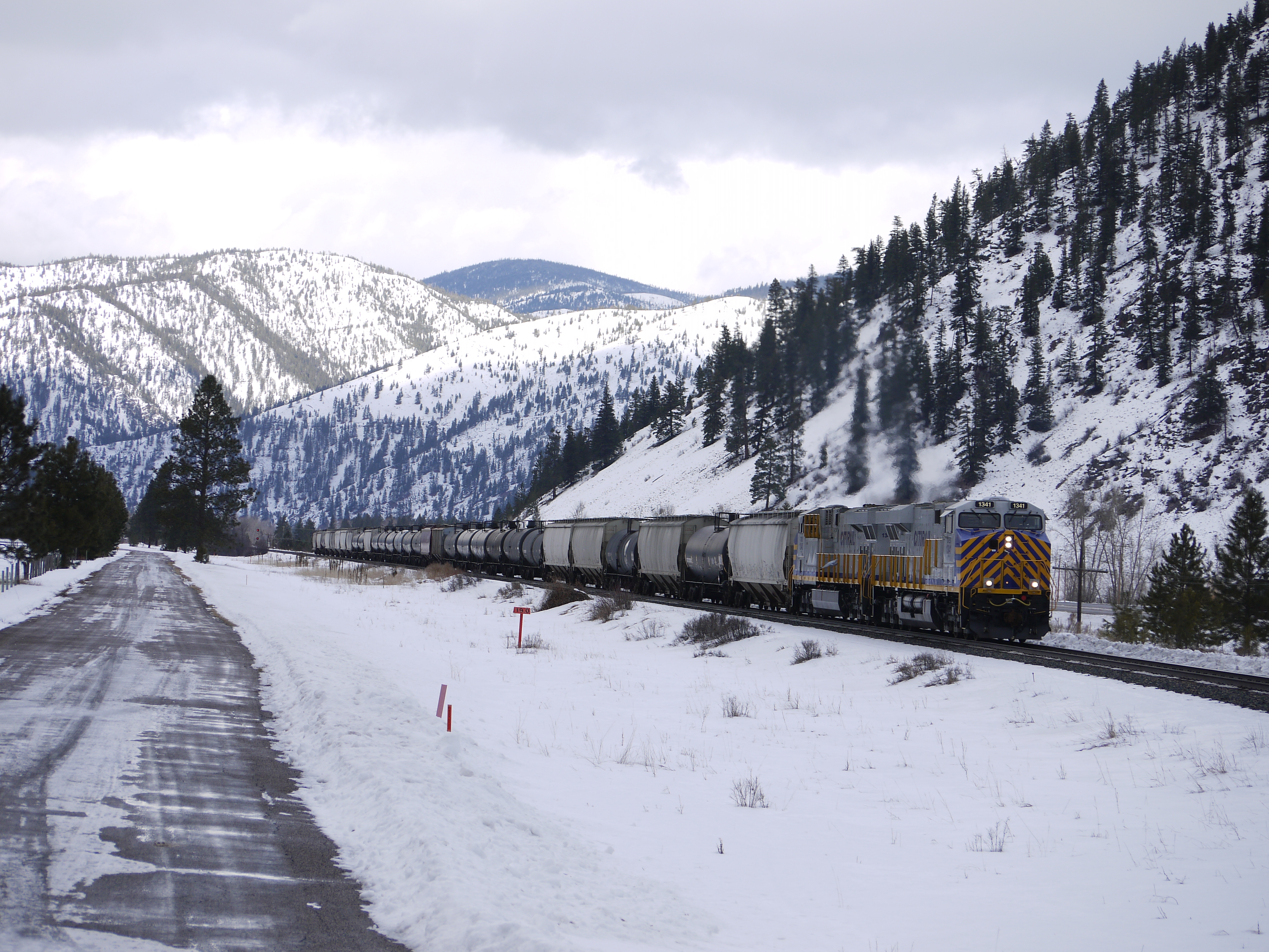
CITIRAIL color on MRL
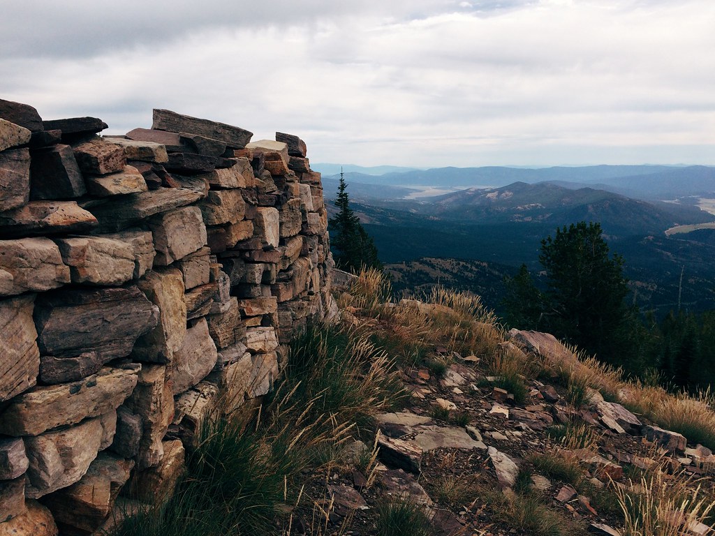
The Sheep Mountain shelter
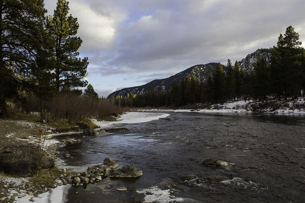
A River Running Through Montana
Morning awakens
Topographic Map of Donovan Creek Rd, Clinton, MT, USA
Find elevation by address:

Places near Donovan Creek Rd, Clinton, MT, USA:
Clinton
Montana Rail Link Railroad
11300 Chumrau Loop
20575 Killdeer Ln
Montana 200
MT-, Missoula, MT, USA
Big Pines Ln, Missoula, MT, USA
Missoula, Mount
Missoula County
Cramer Creek Road
34280 Sheep Camp Rd
1095 Mecate Ln
Triangle Peak
Spook Lake
Greenough
40060 Paws Up Rd
Tyler Point
22000 Jocko Canyon Rd
Harvey Point
2000 Snowmass Dr
Recent Searches:
- Elevation of SW 57th Ave, Portland, OR, USA
- Elevation of Crocker Dr, Vacaville, CA, USA
- Elevation of Pu Ngaol Community Meeting Hall, HWHM+3X7, Krong Saen Monourom, Cambodia
- Elevation of Royal Ontario Museum, Queens Park, Toronto, ON M5S 2C6, Canada
- Elevation of Groblershoop, South Africa
- Elevation of Power Generation Enterprises | Industrial Diesel Generators, Oak Ave, Canyon Country, CA, USA
- Elevation of Chesaw Rd, Oroville, WA, USA
- Elevation of N, Mt Pleasant, UT, USA
- Elevation of 6 Rue Jules Ferry, Beausoleil, France
- Elevation of Sattva Horizon, 4JC6+G9P, Vinayak Nagar, Kattigenahalli, Bengaluru, Karnataka, India