Elevation map of Missoula, Mount, Missoula, MT, MT, USA
Location: United States > Montana > Missoula County >
Longitude: -113.68699
Latitude: 47.0240503
Elevation: 1448m / 4751feet
Barometric Pressure: 85KPa
Elevation Map:
Satellite Map:
Related Photos:

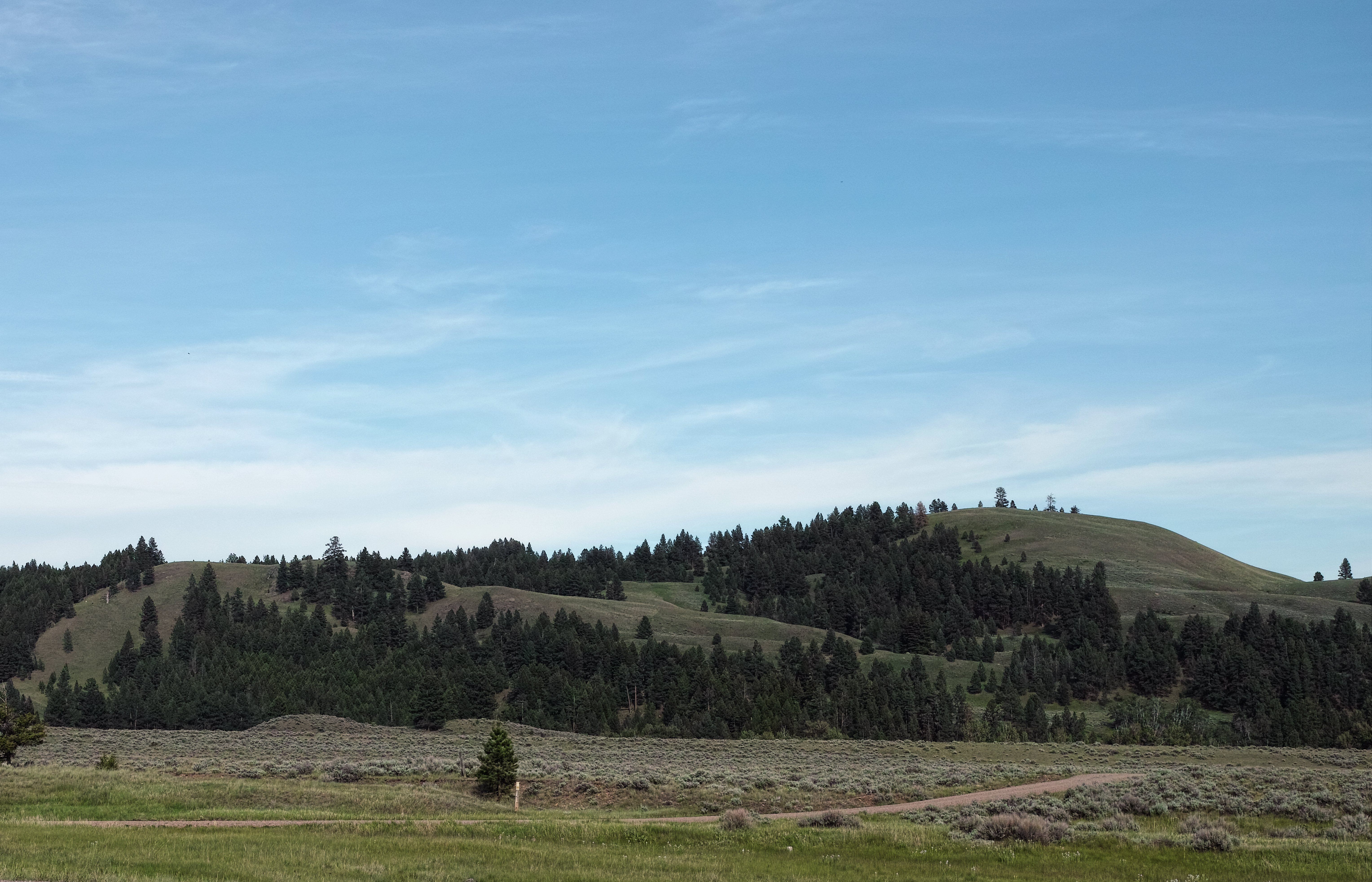
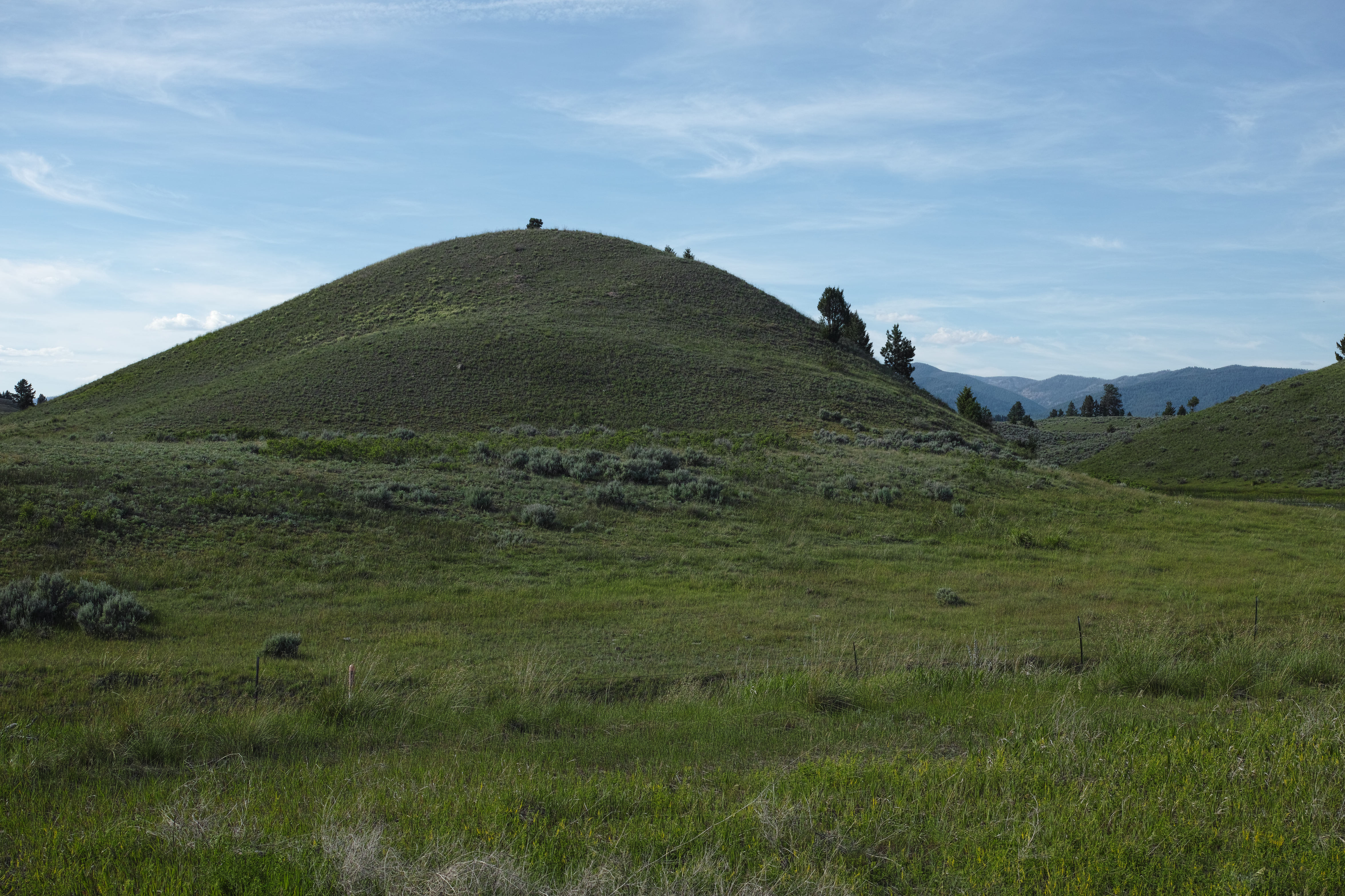
The view of Sheep Mountain

The view of the Rattlesnake on the 26-mile Sheep Mountain loop

The view of the Blackfoot on the 26-mile Sheep Mountain loop

The view from the 26-mile Sheep Mountain loop

Abandoned Homestead / Explore Oct 20

Blue Wild Flowers I
SDIM1385 hills near Missoula, Montana
SDIM1383 hiils near Missoula, Montana

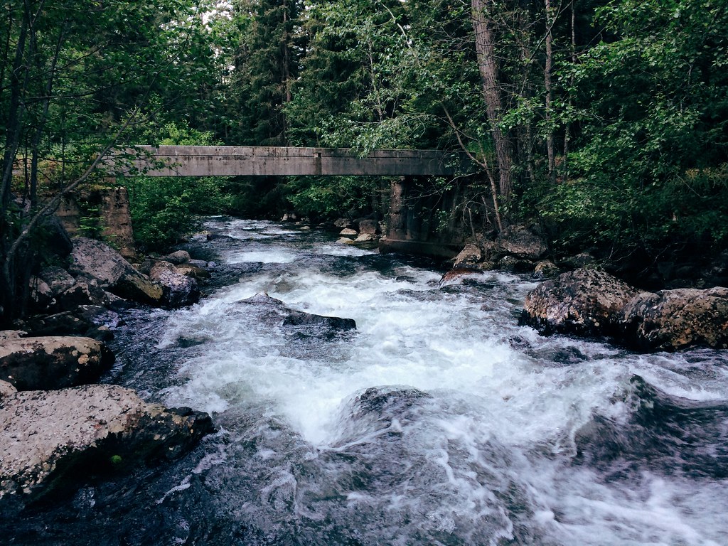
Blackfoot River, MT
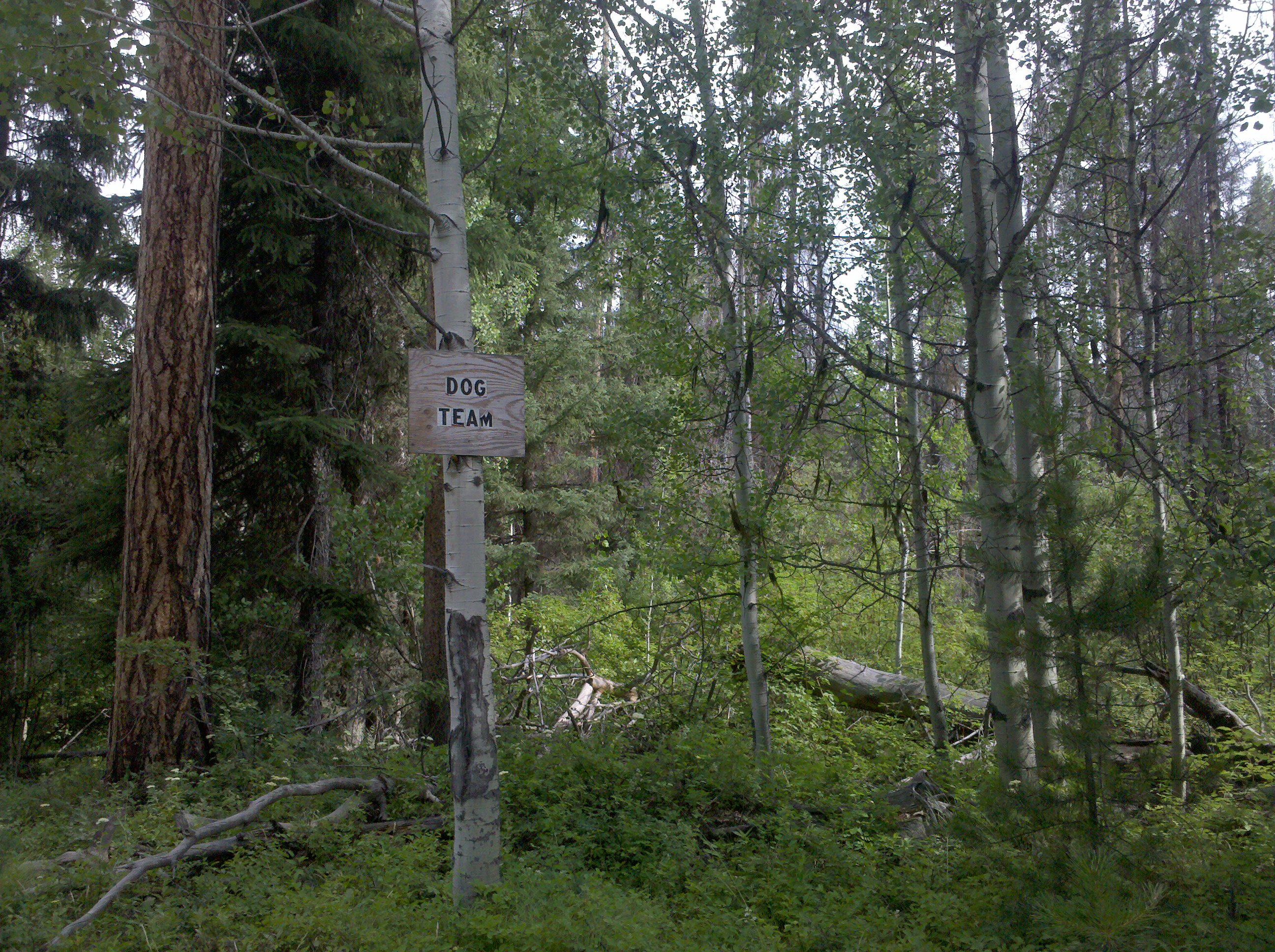
Dog Team

Jocko Fire Area

Wrangle Creek

Blackfoot Fall Scene
My Missoula trail marathon today: Out Rattlesnake Creek, back over Sheep Mountain

Up the Rattlesnake drainage on a 20-mile trail run

My Missoula trail marathon today: Out Rattlesnake Creek, back over Sheep Mountain

Up the Rattlesnake drainage on a 20-mile trail run

FH000003 copy

Up the Rattlesnake drainage on a 20-mile trail run

Up the Rattlesnake drainage on a 20-mile trail run

My Missoula trail marathon today: Out Rattlesnake Creek, back over Sheep Mountain
Topographic Map of Missoula, Mount, Missoula, MT, MT, USA
Find elevation by address:

Places near Missoula, Mount, Missoula, MT, MT, USA:
Missoula County
Spook Lake
Triangle Peak
5455 Donovan Creek Rd
2000 Snowmass Dr
11300 Chumrau Loop
22000 Jocko Canyon Rd
1095 Mecate Ln
34280 Sheep Camp Rd
Montana 200
MT-, Missoula, MT, USA
Seeley Lake
Clinton
Big Pines Ln, Missoula, MT, USA
Montana Rail Link Railroad
Marshall Lake Road
Greenough
40060 Paws Up Rd
20575 Killdeer Ln
879 S Canyon Dr
Recent Searches:
- Elevation of SW 57th Ave, Portland, OR, USA
- Elevation of Crocker Dr, Vacaville, CA, USA
- Elevation of Pu Ngaol Community Meeting Hall, HWHM+3X7, Krong Saen Monourom, Cambodia
- Elevation of Royal Ontario Museum, Queens Park, Toronto, ON M5S 2C6, Canada
- Elevation of Groblershoop, South Africa
- Elevation of Power Generation Enterprises | Industrial Diesel Generators, Oak Ave, Canyon Country, CA, USA
- Elevation of Chesaw Rd, Oroville, WA, USA
- Elevation of N, Mt Pleasant, UT, USA
- Elevation of 6 Rue Jules Ferry, Beausoleil, France
- Elevation of Sattva Horizon, 4JC6+G9P, Vinayak Nagar, Kattigenahalli, Bengaluru, Karnataka, India