Elevation map of Missoula County, MT, USA
Location: United States > Montana >
Longitude: -113.68699
Latitude: 47.0240503
Elevation: 1451m / 4760feet
Barometric Pressure: 85KPa
Elevation Map:
Satellite Map:
Related Photos:

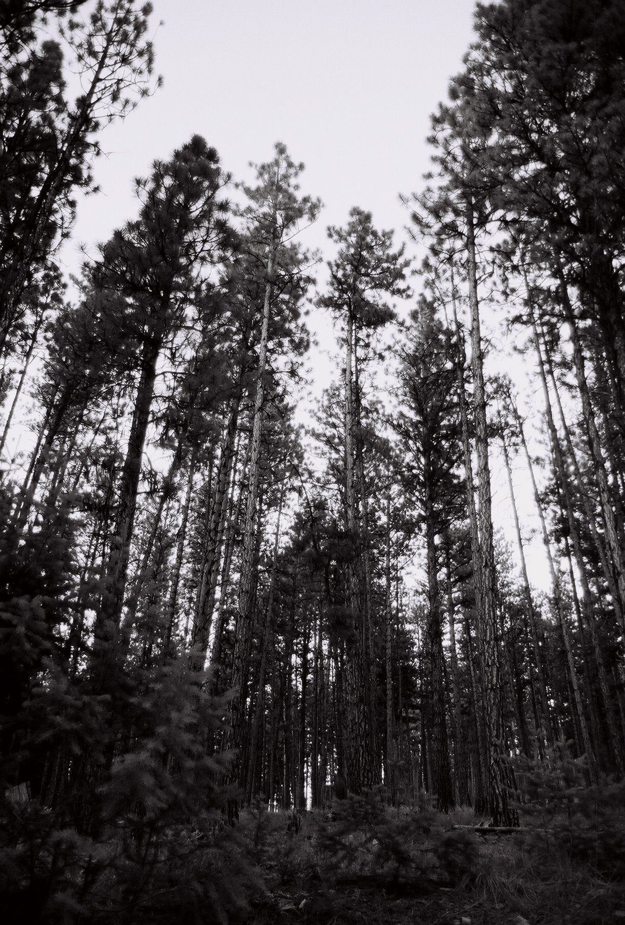
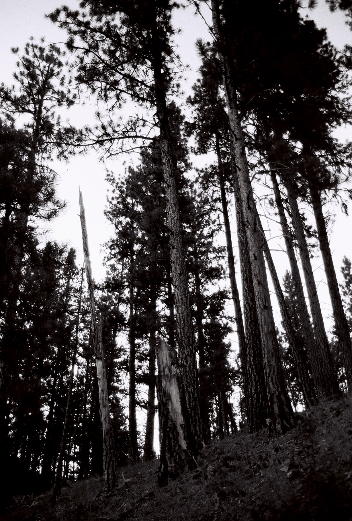
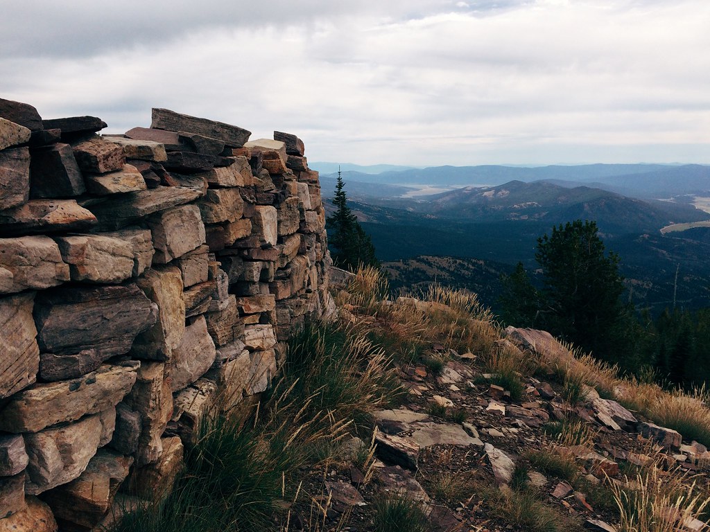
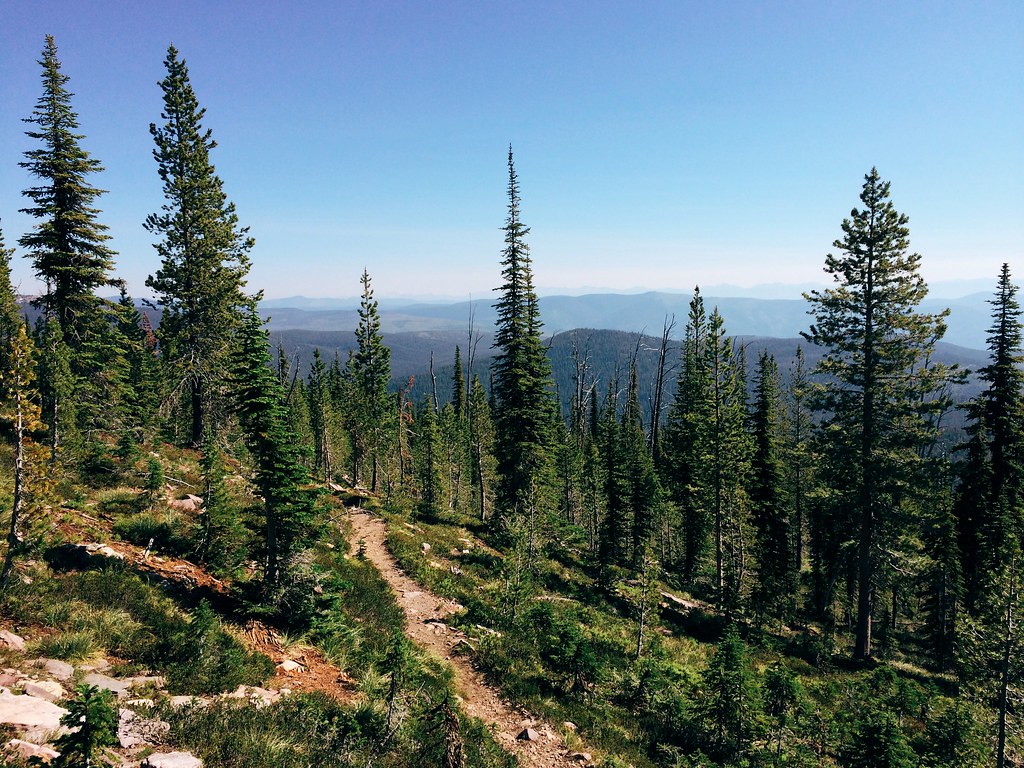
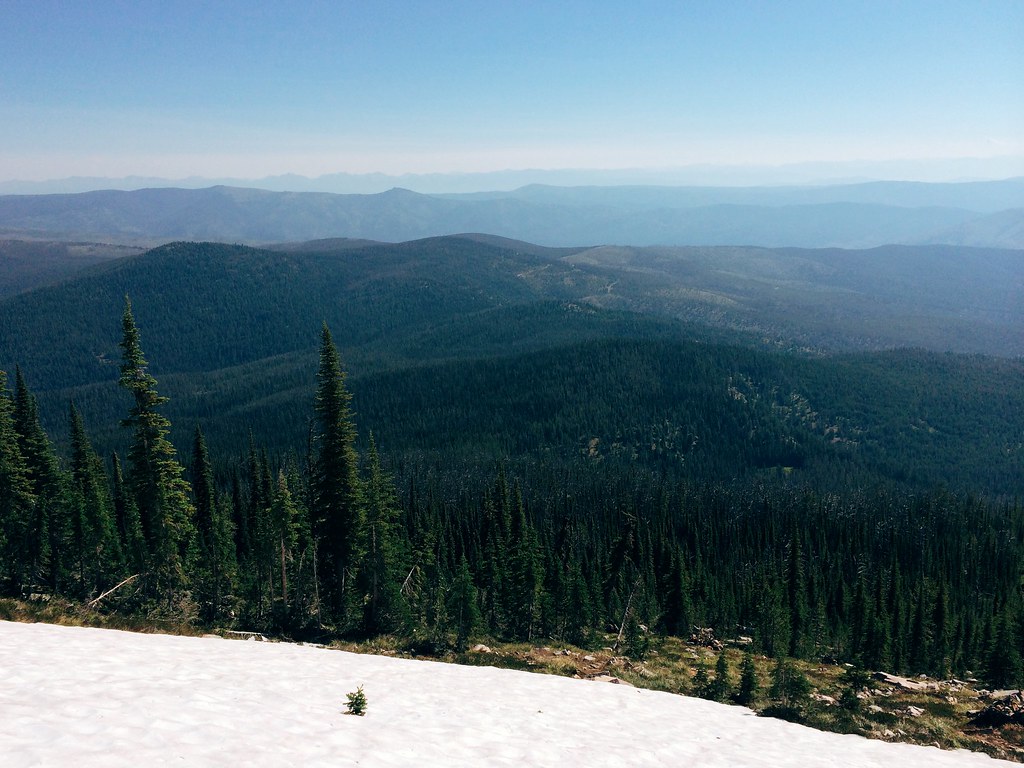
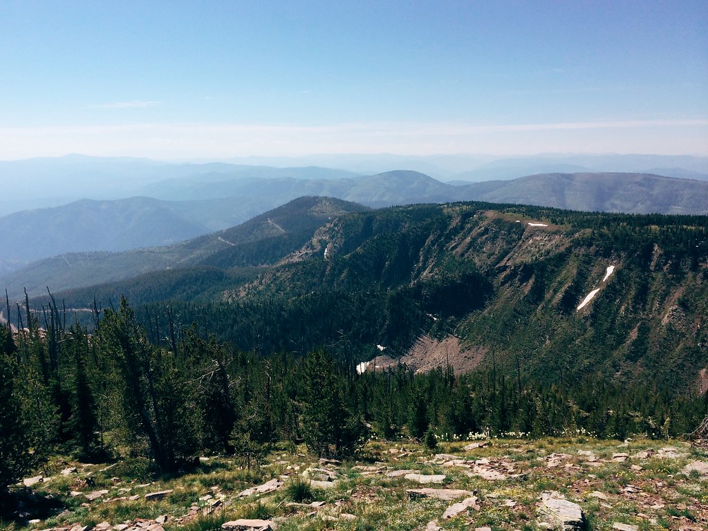
The view of Sheep Mountain
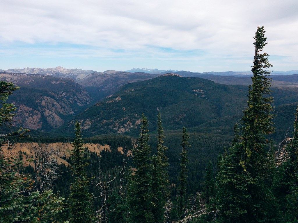
The view of the Rattlesnake on the 26-mile Sheep Mountain loop
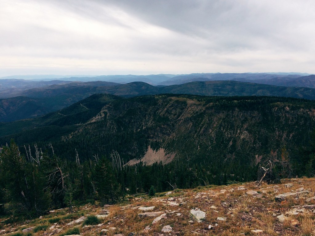
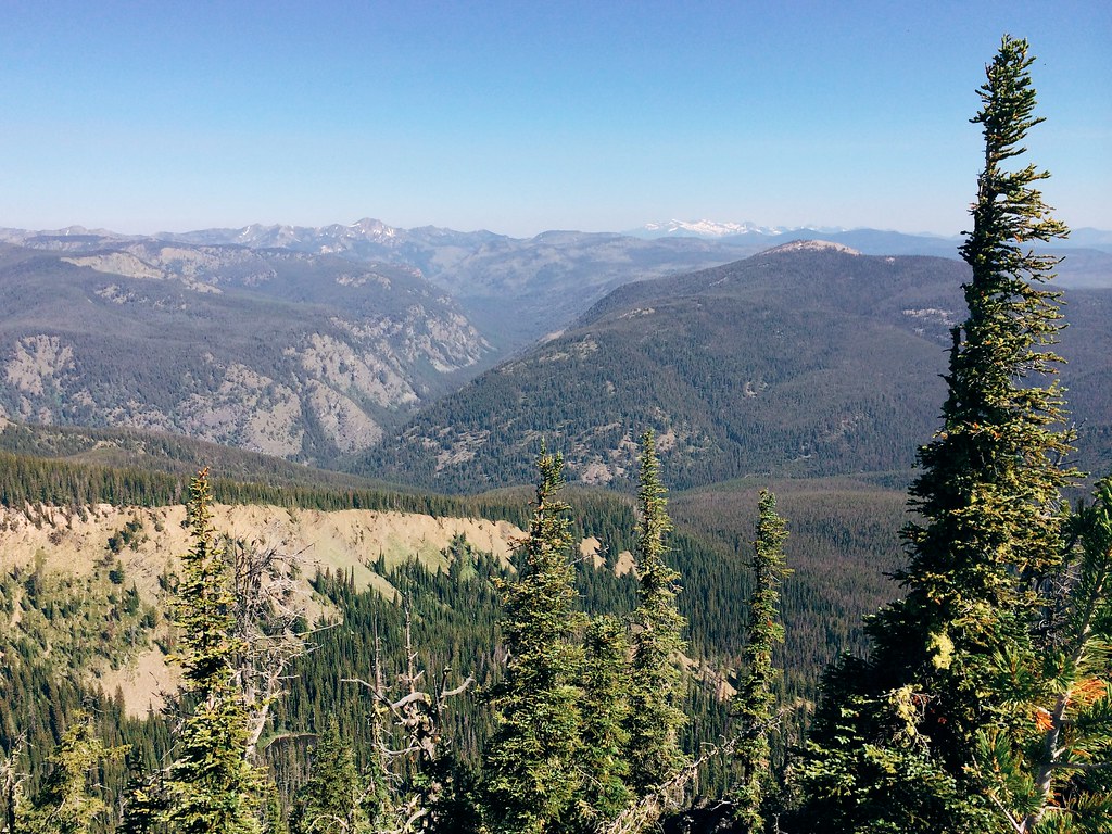
The view from the 26-mile Sheep Mountain loop
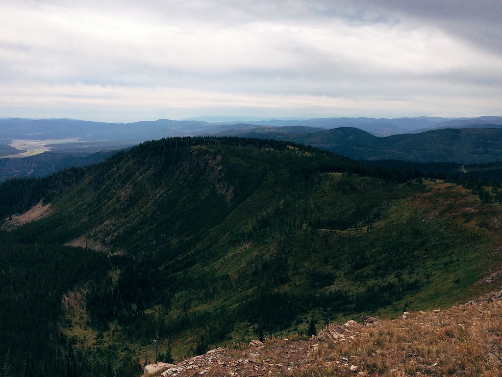
The view of the Blackfoot on the 26-mile Sheep Mountain loop

Blue Wild Flowers I
FH000015 copy
FH000012 copy
FH000036 copy
FH000003 copy
FH000034 copy
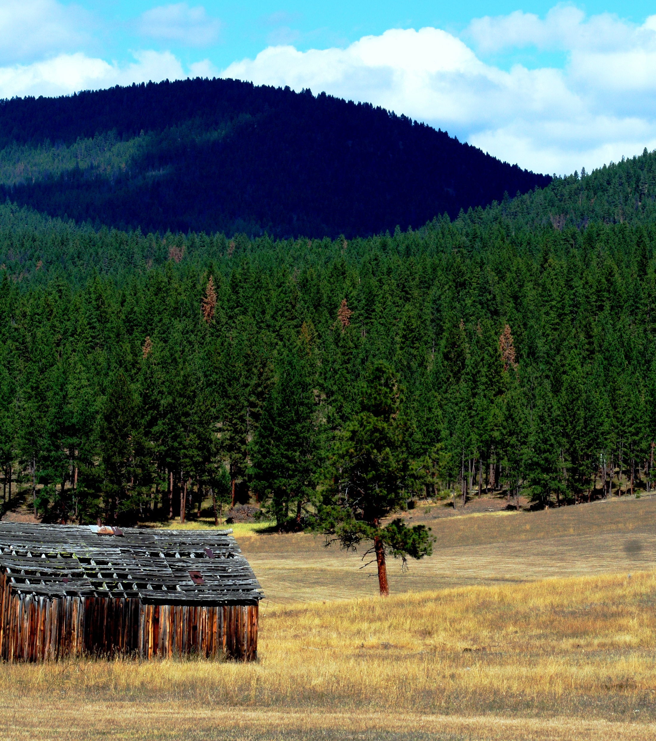
Abandoned Homestead / Explore Oct 20
The Sheep Mountain shelter
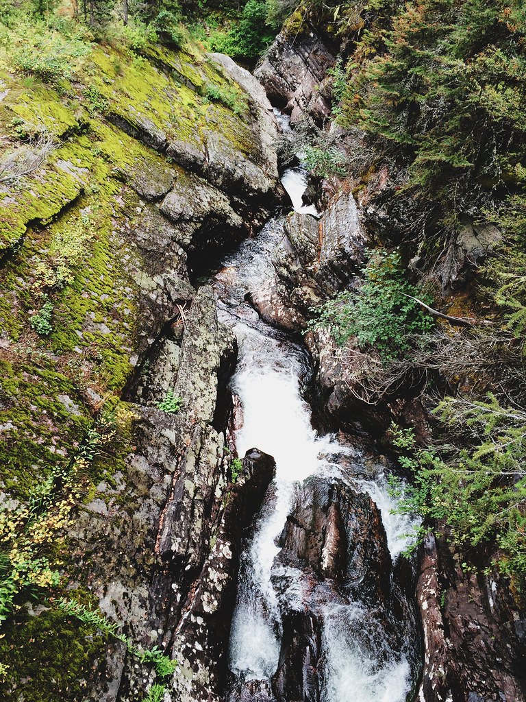
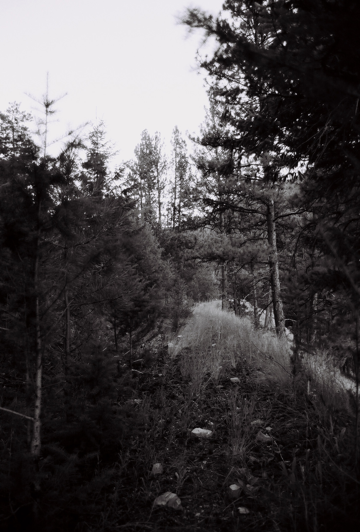
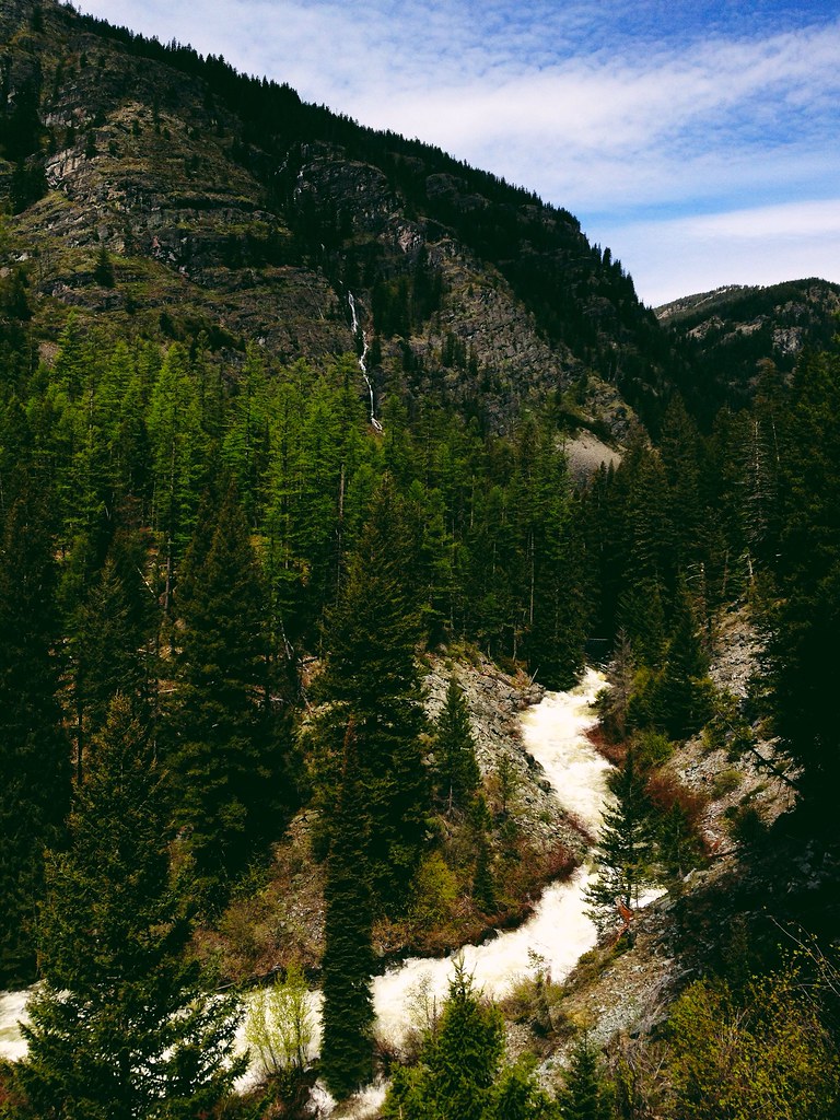
Rattlesnake Creek cuts through bedrock after leaving the wilderness
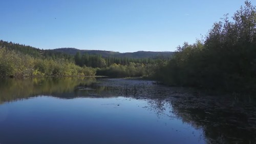
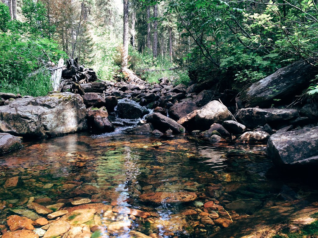
Placid Creek
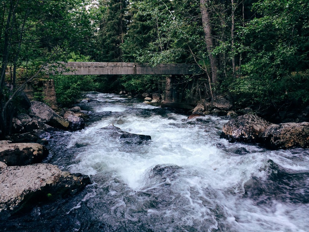
The East Fork of Rattlesnake Creek, along the 26-mile Sheep Mountain loop
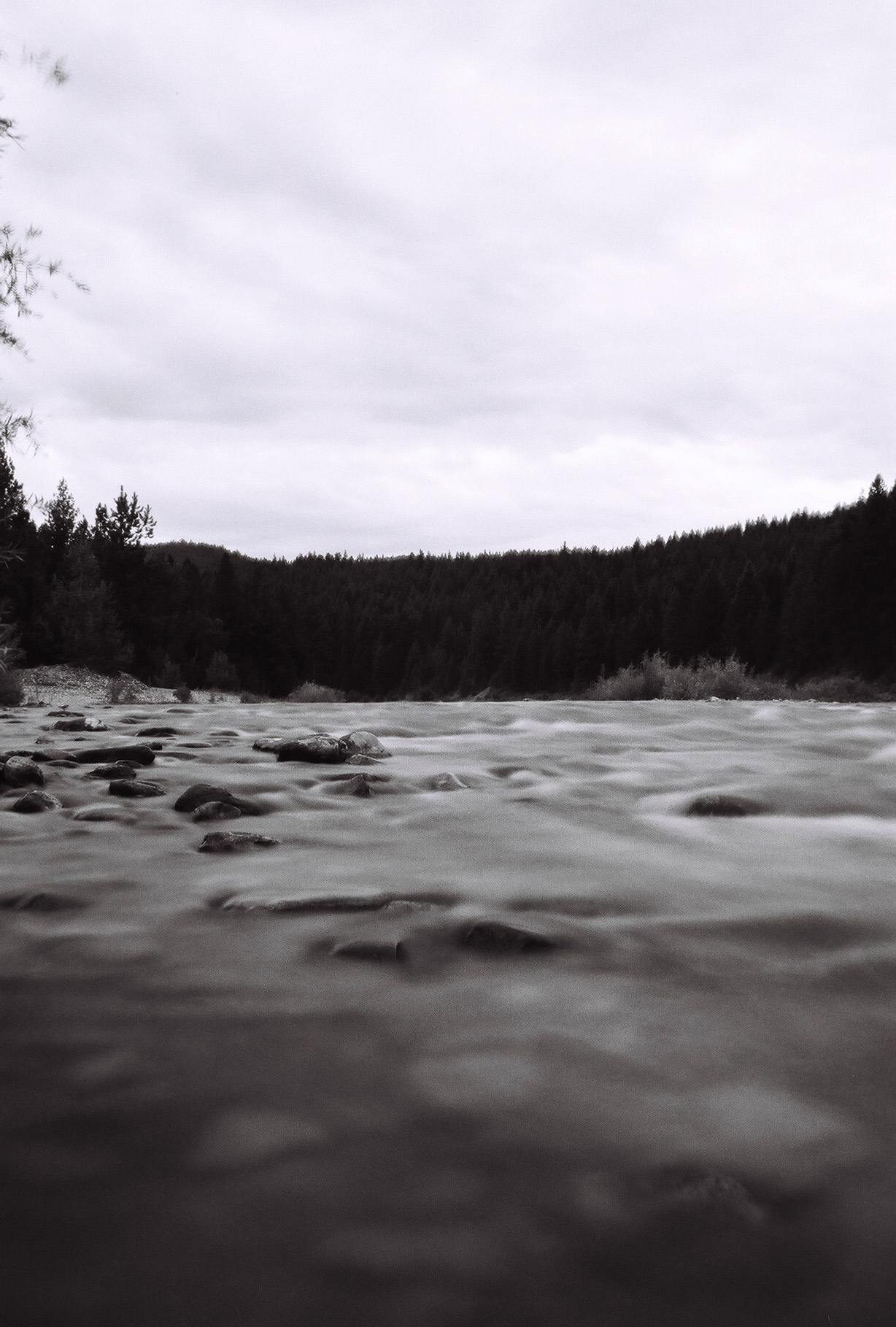
Lots of water on my run up the Rattlesnake
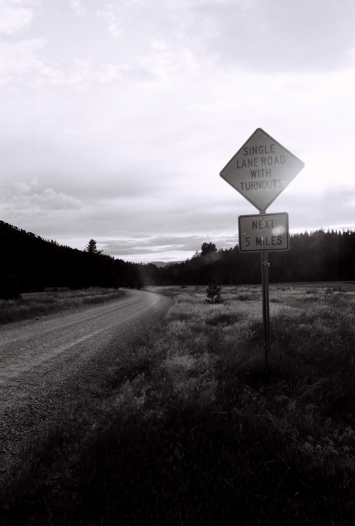
My Missoula trail marathon today: Out Rattlesnake Creek, back over Sheep Mountain
My Missoula trail marathon today: Out Rattlesnake Creek, back over Sheep Mountain
My Missoula trail marathon today: Out Rattlesnake Creek, back over Sheep Mountain
My Missoula trail marathon today: Out Rattlesnake Creek, back over Sheep Mountain
My Missoula trail marathon today: Out Rattlesnake Creek, back over Sheep Mountain
Topographic Map of Missoula County, MT, USA
Find elevation by address:

Places in Missoula County, MT, USA:
Missoula
Seeley Lake
Frenchtown
Greenough
Lolo
Beckwith St, Frenchtown, MT, USA
Horseshoe Hills Trail, Bonner, MT, USA
Carlton
Alberton
Huson
Missoula, Mount
Places near Missoula County, MT, USA:
Missoula, Mount
Spook Lake
Triangle Peak
5455 Donovan Creek Rd
2000 Snowmass Dr
11300 Chumrau Loop
22000 Jocko Canyon Rd
1095 Mecate Ln
34280 Sheep Camp Rd
Montana 200
MT-, Missoula, MT, USA
Seeley Lake
Clinton
Big Pines Ln, Missoula, MT, USA
Montana Rail Link Railroad
Marshall Lake Road
Greenough
40060 Paws Up Rd
20575 Killdeer Ln
879 S Canyon Dr
Recent Searches:
- Elevation of Corso Fratelli Cairoli, 35, Macerata MC, Italy
- Elevation of Tallevast Rd, Sarasota, FL, USA
- Elevation of 4th St E, Sonoma, CA, USA
- Elevation of Black Hollow Rd, Pennsdale, PA, USA
- Elevation of Oakland Ave, Williamsport, PA, USA
- Elevation of Pedrógão Grande, Portugal
- Elevation of Klee Dr, Martinsburg, WV, USA
- Elevation of Via Roma, Pieranica CR, Italy
- Elevation of Tavkvetili Mountain, Georgia
- Elevation of Hartfords Bluff Cir, Mt Pleasant, SC, USA