Elevation of Tree Stand Ln, Jefferson, NY, USA

Location: United States > New York > Schoharie County > Jefferson > Jefferson >

Longitude: -74.634263

Latitude: 42.5157627

Elevation: 610m / 2001feet

Barometric Pressure: 94KPa

Elevation Map:

elevation map of Tree Stand Ln, Jefferson, NY, USA

Satellite Map:

Satellite map of Tree Stand Ln, Jefferson, NY, USA

Related Photos:

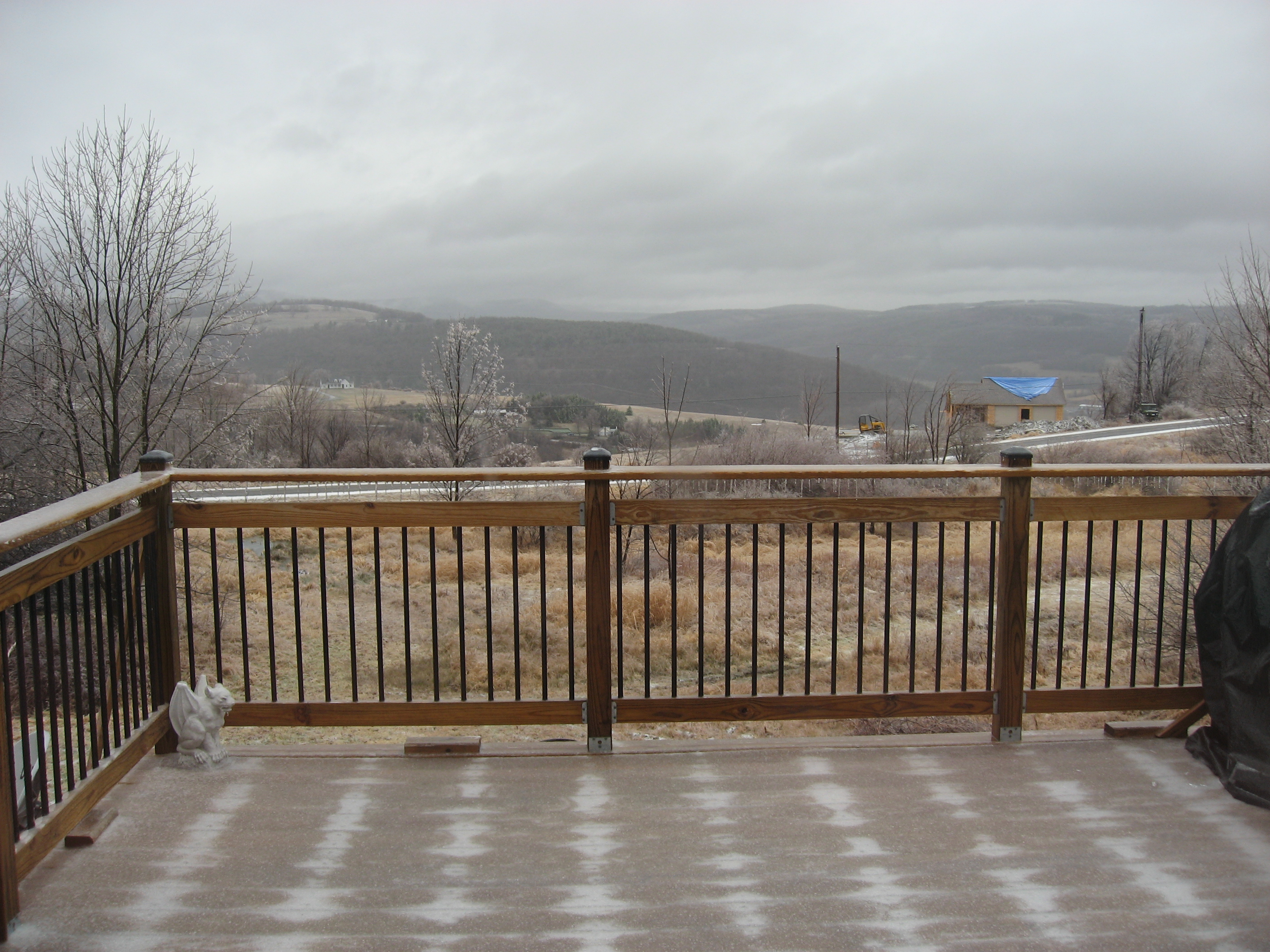
1993 07-18 1515-2 CP RS18u-1848 S/B 556 Schenevus, NY
railroad train dh cp cprail freighttrain alco mlw delawarehudson newyorkrailroads montreallocomotiveworks alcolocomotive candianpacific m636 mlwm636 cp4715 richmondvillehill westrichmondvilleny
CP 4715 West Richmondville meet
railroad train dh lehighvalley emd gp382 delawarehudson richmondvillehill eastworcesterny dh7322
7322 on Richmondville Hill
newyork unitedstates fujifilm stamford catskills delawarecountyny xt1 stamfordny mountutsayantha fujixt1
Mount Utsayantha
architecture barn rural architectural upstatenewyork agriculture barndoors otsegocounty townofmaryland edbrodzinsky smokeyhollowroad
autumn barn
sketch drawing sketchbook upstatenewyork penandink coloredpencil schenevusny edbrodzinsky borstfield
view from the park
architecture barn rural architectural upstatenewyork agriculture barndoors otsegocounty townofmaryland edbrodzinsky smokeyhollowroad
architectural foliage
railroad abandoned pano catskills cst railtrail
cst-hills
northblenheim usa newyork upstatenewyork landscape radioflyer snow trees outdoors nikon nikond3000
A different kind of Flyer.
architecture barn rural architectural upstatenewyork agriculture barndoors otsegocounty townofmaryland edbrodzinsky smokeyhollowroad
barn detail
house upstate newyorkstate stamford catskills stamfordnewyork
Big Yellow House
sky newyork green tower clouds unitedstates farms stamford firetower mountutsayantha observationbuilding
Mount Utsayantha
nature view photoaday 365 stamford project365 mountutsayantha 3652010 photoaday2010 project3652010 hoohaa365
April 10 (100/365)
mountutsayantha andyarthur viewfrommiddlelanding
View from Middle Landing
newyork upstateny catskills catskillmountains
On Mount Utsayantha
Another View from the Clear Cut
ice
Mmmm ice storm
1993 07-10 1408 CP SD40-2-5738 S/B 554 Schenevus, NY
upstatenewyork catskillmountains
view from south hill
winter upstatenewyork schenevusny edbrodzinsky borstfield schenevuscreek
Schenevus Creek
stamfordny harpersfieldny odelllakeroad lamontwarner
Warner 10
landscape sweeping vista overlook valley beauty color green summit schohariecounty outdoor capitalregion newyork pentax pentaxart kp kmount hdpentaxda1685mmlens
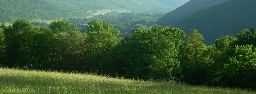
Schoharie County View
lake beargulchlake landscape autumn fallfoliage fall fallcolors reflectioninwater mirrorreflection peaceful summit schohariecounty capitalregion newyork color water pentax pentaxart kmount k1ii pentaxdfa28105mmf3556lens
Bear Gulch Lake
landscape vista autumn autumncolors fallfoliage fall summit summitconservationclub schohariecounty capitalregion newyork outdoor color foliage pentax pentaxart kmount kp hdpentaxda1685mmlens rural
Summit View
dh7406
D&H 7406 Richmondville Hill
farm barn rural agriculture silo hill fall fallfoliage autumn foliage stamford delawarecounty newyork catskills westerncatskills landscape outdoor pentax pentaxart kmount k70 hdpentaxda1685mmlens texture
Fall Farm
NS 930 at Brooker Hollow
lake pond smalllake water dock rural fall autumn fallcolors jefferson schohariecounty newyork landscape outdoor pentax pentaxart kmount k70 hdpentaxda1685mmlens peaceful overcast
Small Lake
newyork unitedstates upstate catskill catskillmountains schenevus
samsebeskazal.livejournal.com-01857.jpg
ny norfolk southern sd90 eastworcester
Ex UP sd90
sigma upstate zen 20mm stamford catskills hdr firetower yardwork catskill sigma20mmf18 sigma20mm18 20mmf18 d700 utsayantha nikond700 nikonhdr watershedpost
Mt Utsayantha
forest pond state dam mallet andyarthur
Mallet Pond Dam
mountutsayantha andyarthur catskillmountainsfromthefiretower
Catskill Mountains from the Firetower
abandoned farm mount utsayantha andyarthur
Abandoned Farm
forest state clear towards cuts scrubland andyarthur burntrossman
Towards the Clear Cuts Scrubland
forest pond state path down mallet andyarthur
Path Down to Mallet Pond
mountain mount churchill utsayantha andyarthur
Churchill Mountain
cornfield hayfield utsayanthamountutsayanthaandyarthurtrees
Trees, Corn Field, Hay Field
forest pond state mallet andyarthur
Mallet Pond
hill mount moore utsayantha andyarthur
Moore Hill
newyork flower fern tree forest pond upstate jefferson schoharie clapperhollow clapperhollowstateforest 091110
Clapper Hollow State Forest - New York