Elevation of Moxley St, Jefferson, NY, USA
Location: United States > New York > Schoharie County > Jefferson > Jefferson >
Longitude: -74.63833
Latitude: 42.489246
Elevation: 609m / 1998feet
Barometric Pressure: 94KPa
Elevation Map:
Satellite Map:
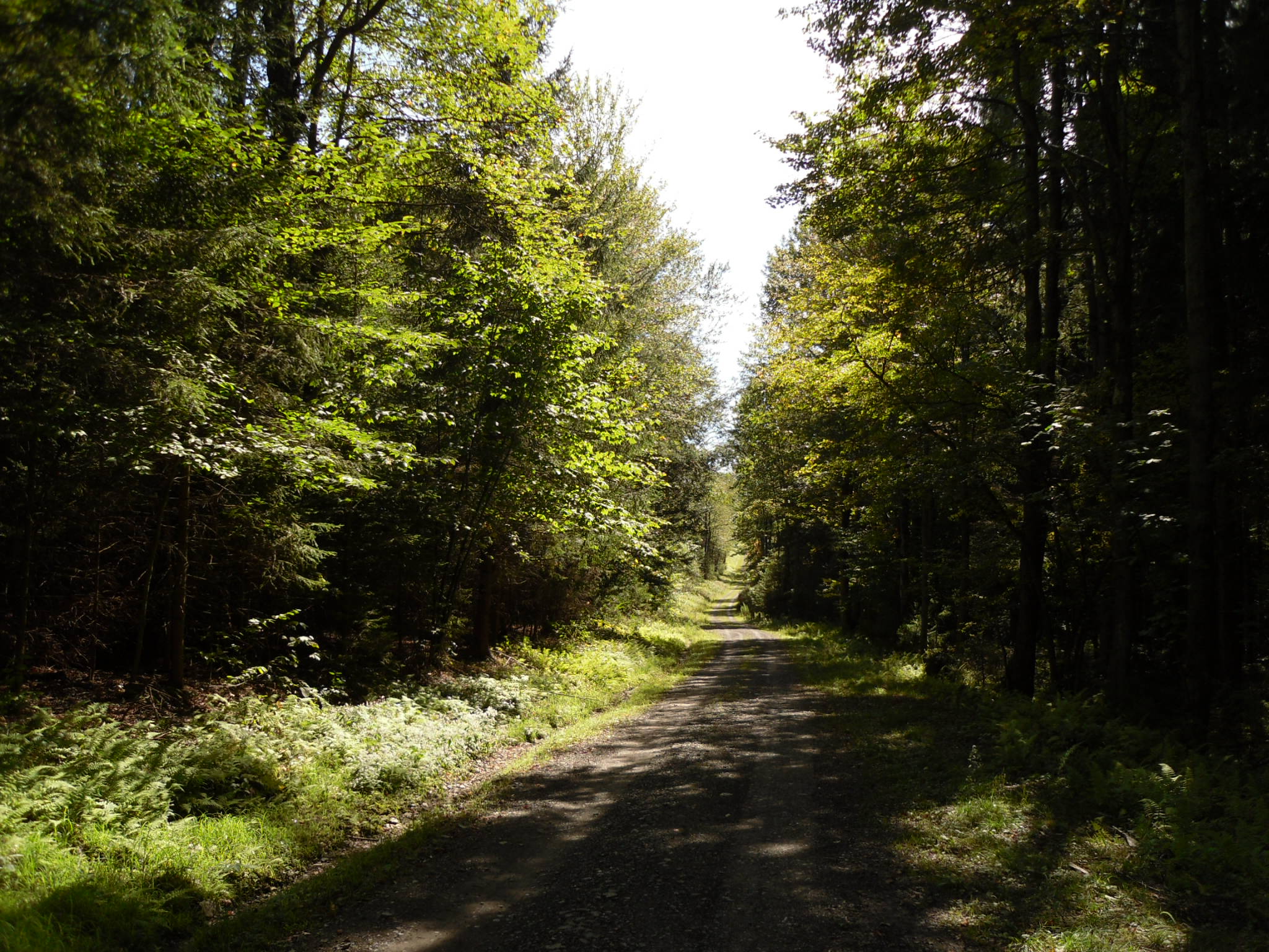
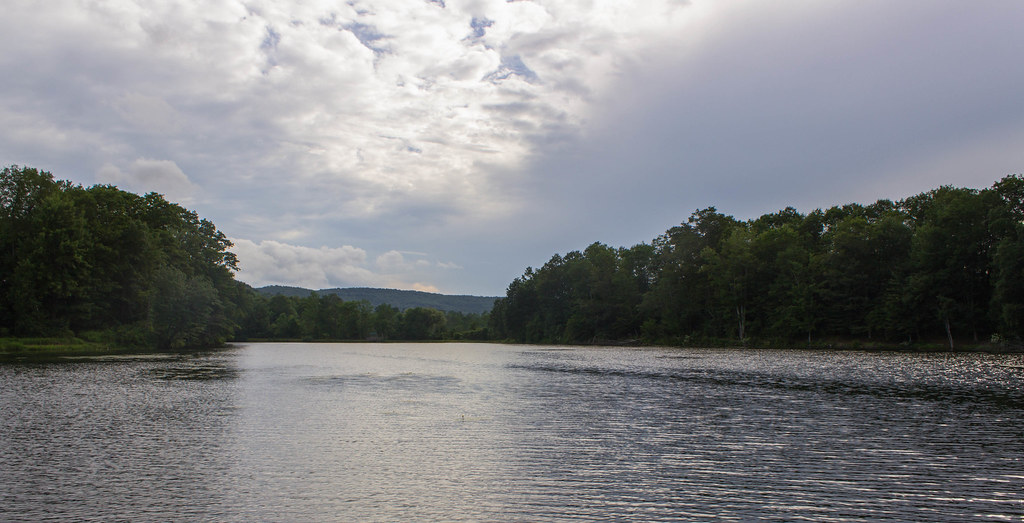
Related Photos:
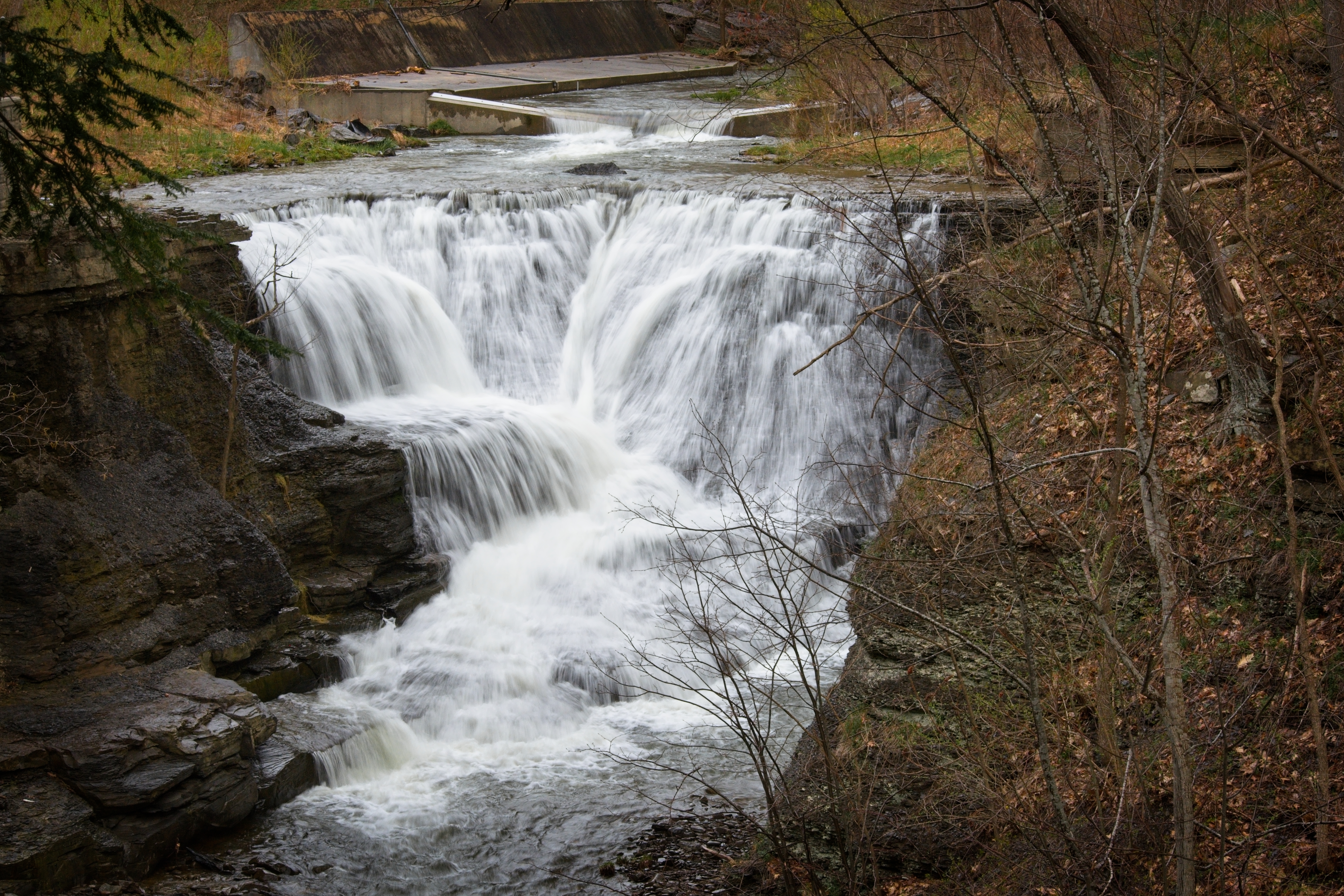
Minekill Falls

Warner 10

cst-hills
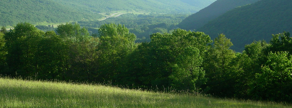
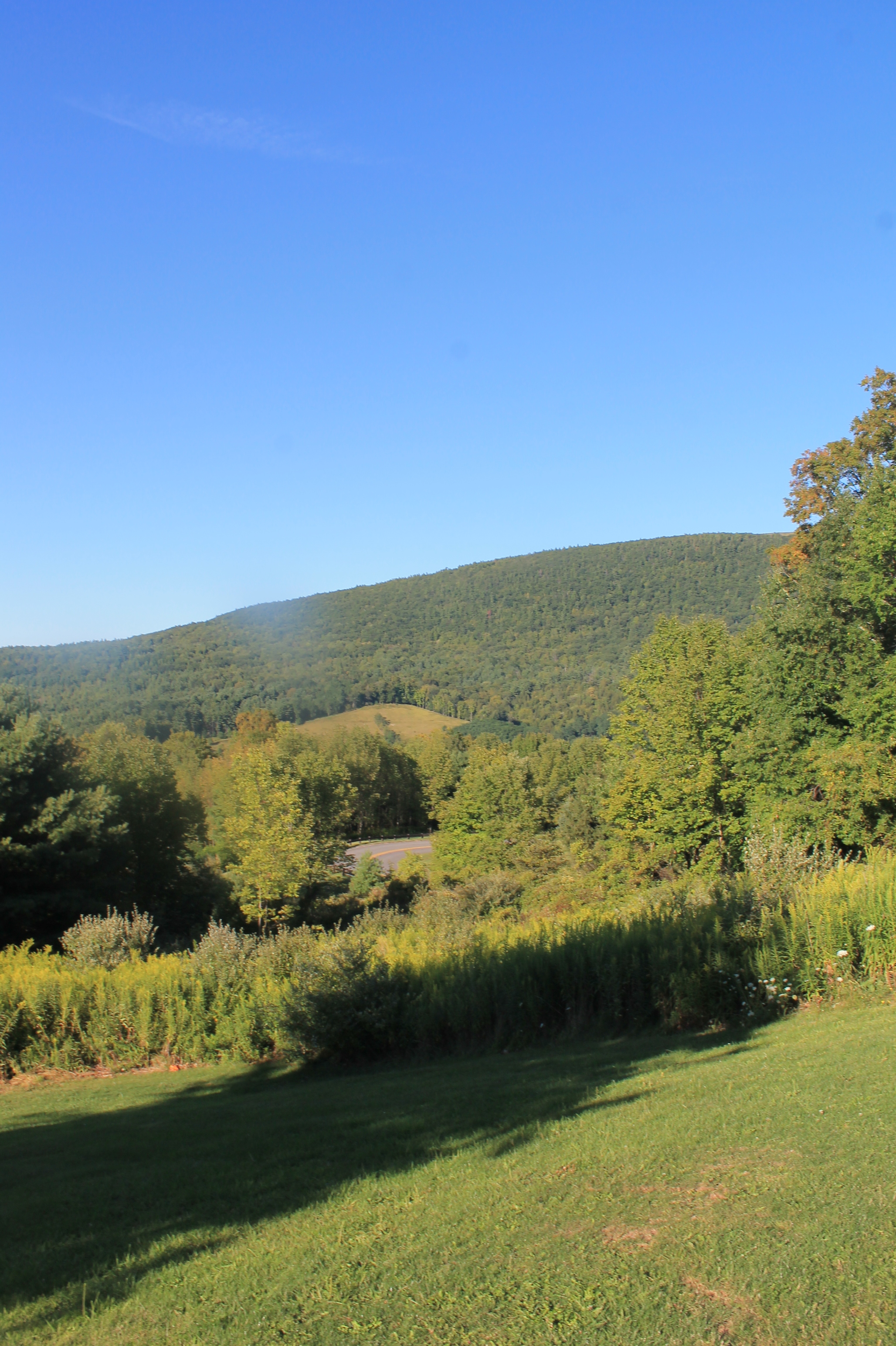
view from south hill
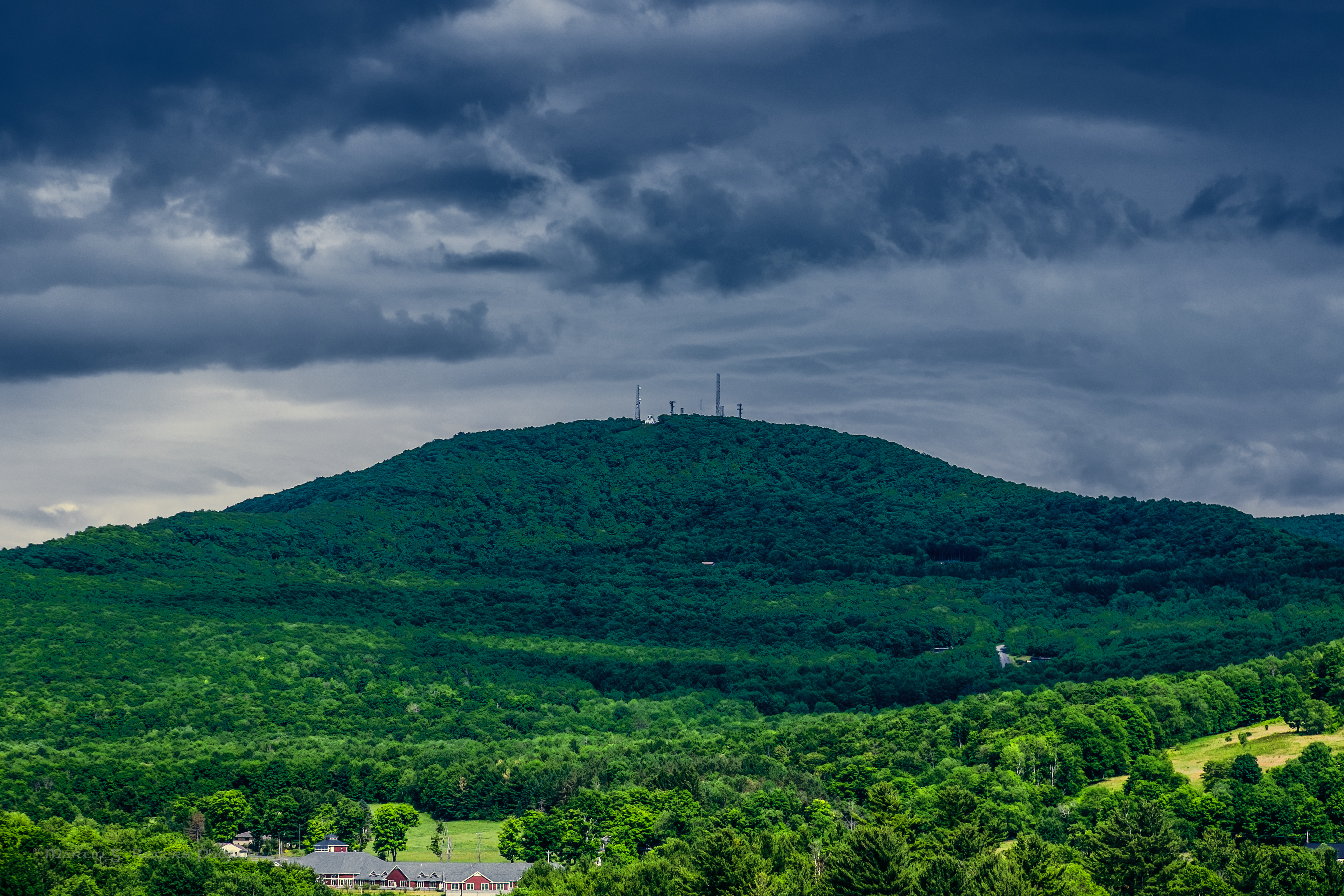
Mount Utsayantha
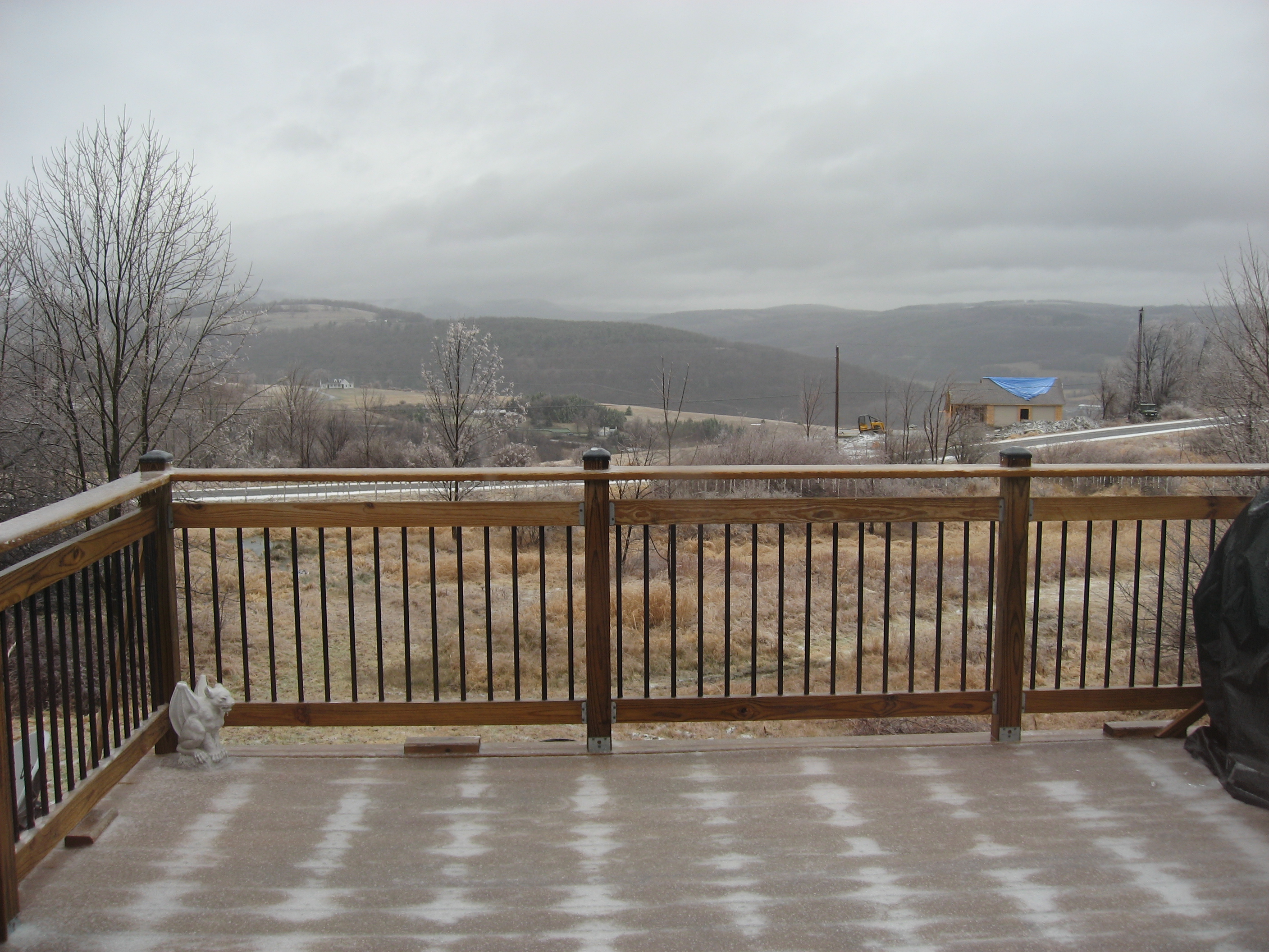
Mmmm ice storm

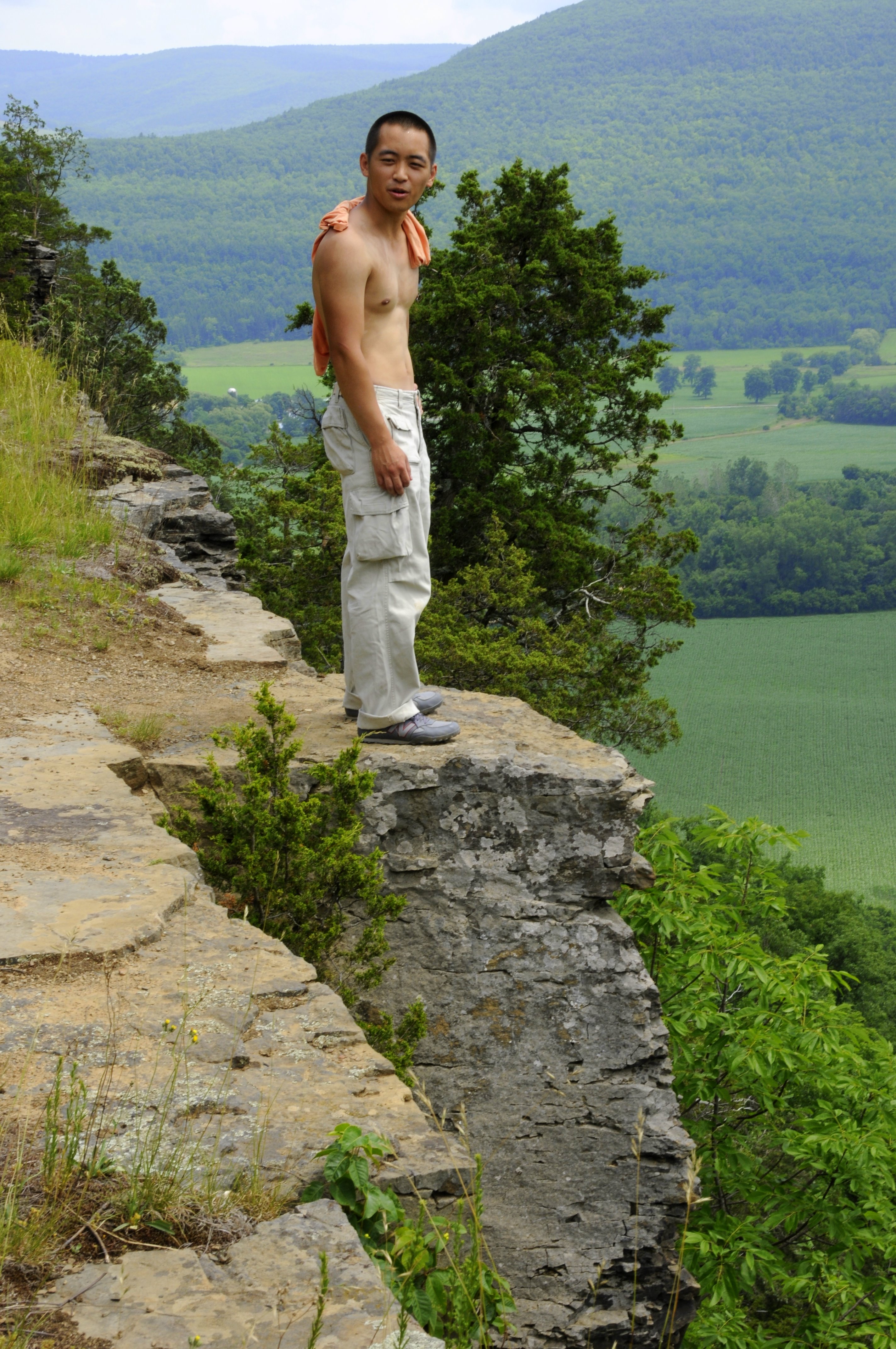
A Different Point Of View

View of Gorge Walls

Time for take off...

Little Known View of Mine Kill Falls
The Other Side Of The Road
View Into Valley

View from Middle Landing
It's up there...
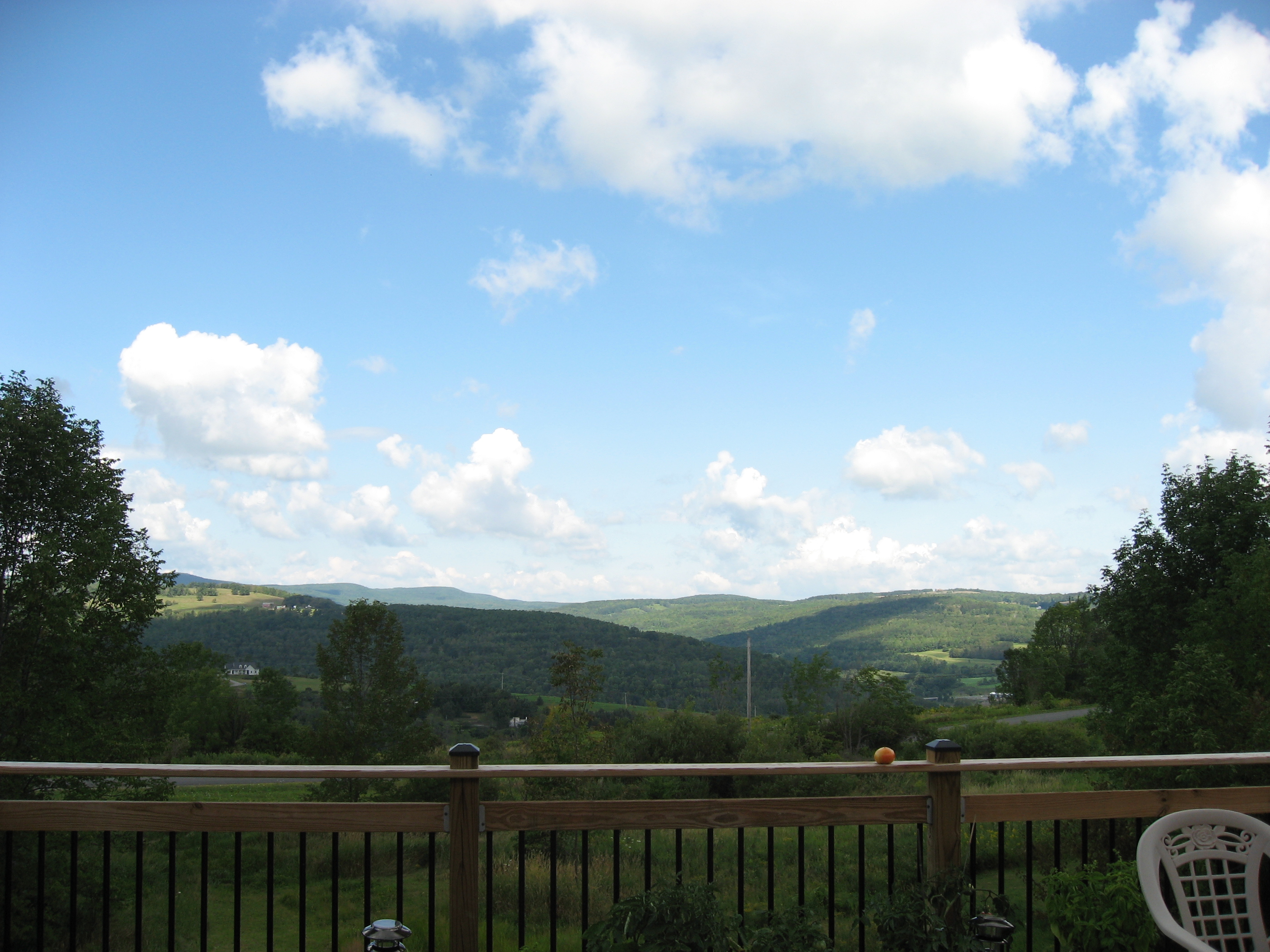
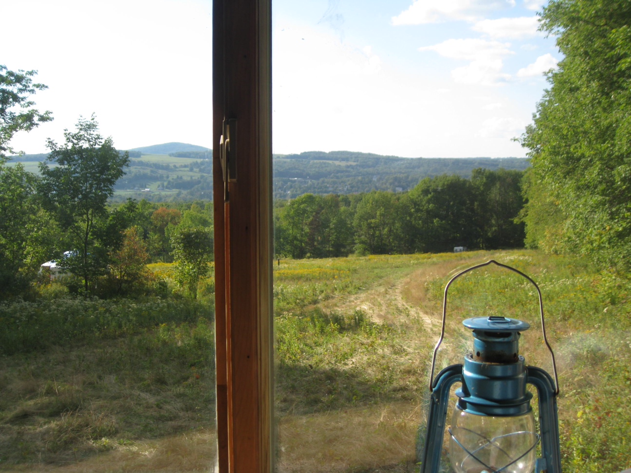
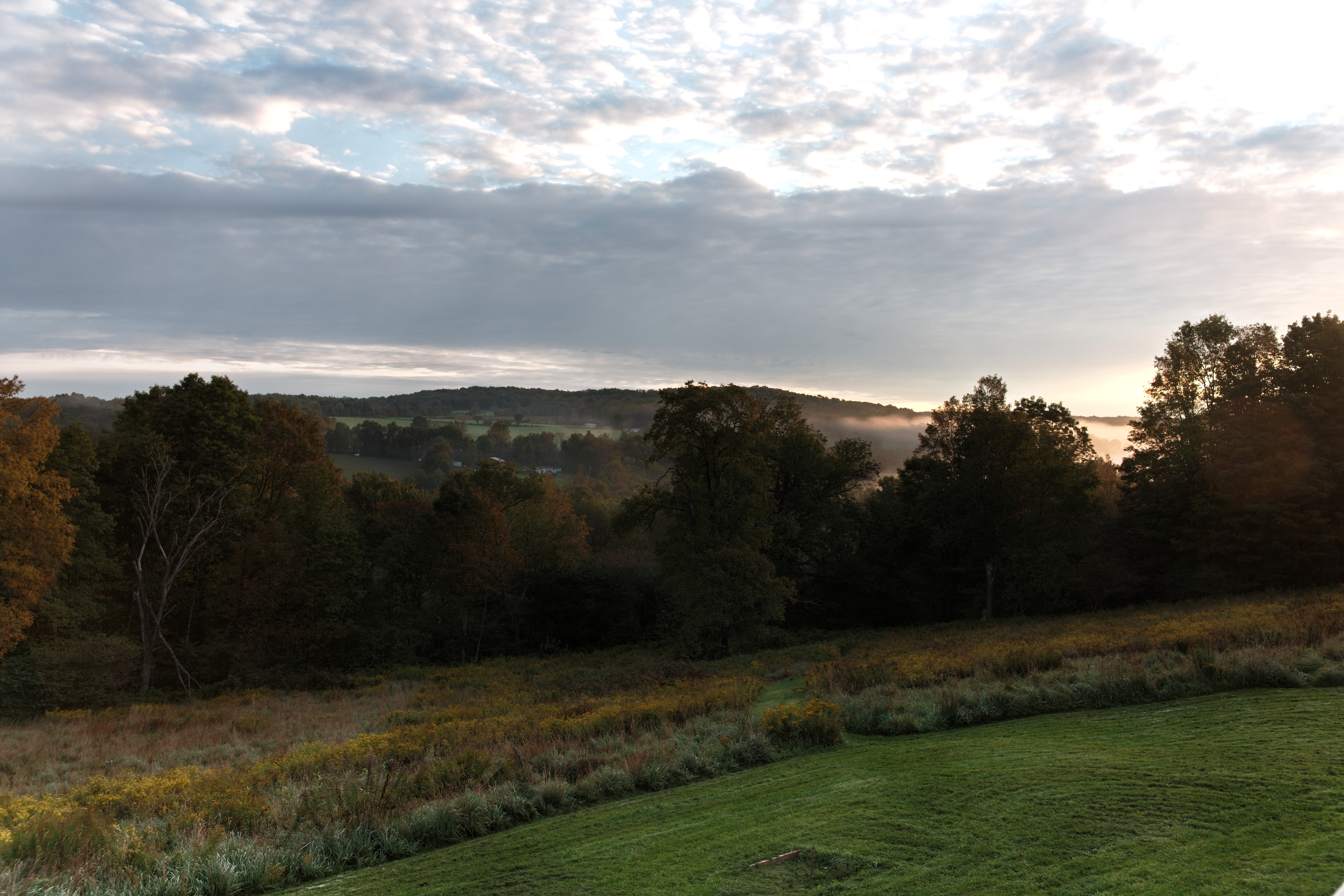
The view from the back deck.
Madalyn's Place

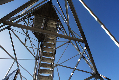
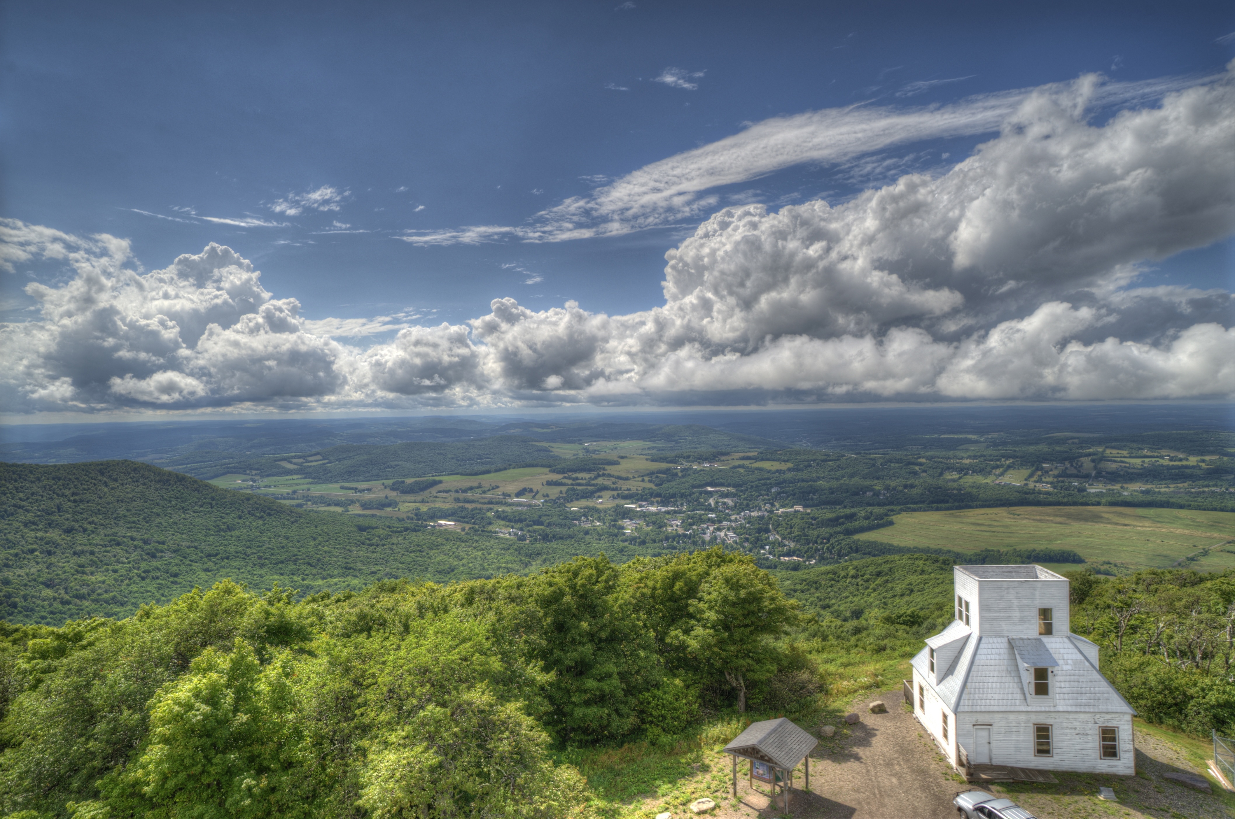
Fire tower view.
View from Artist Studio
Upstate_Trip_07_08 067
A different kind of Flyer.
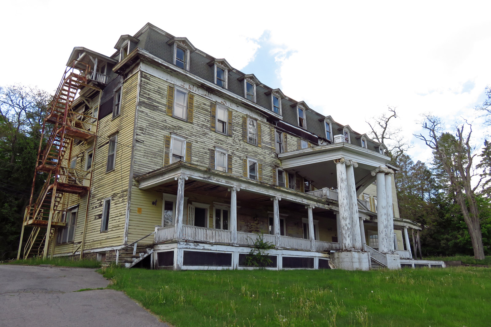
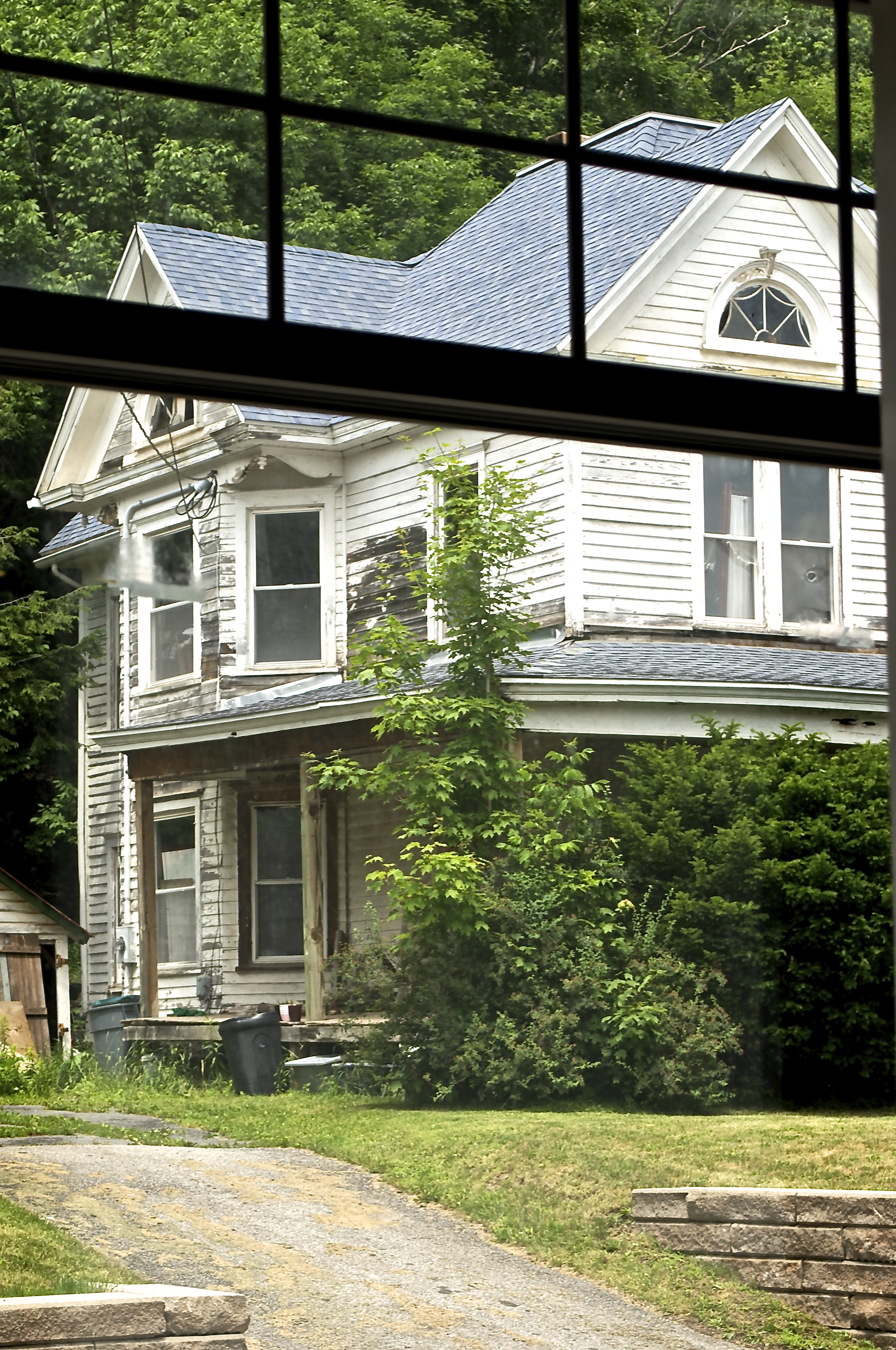
Big Yellow House
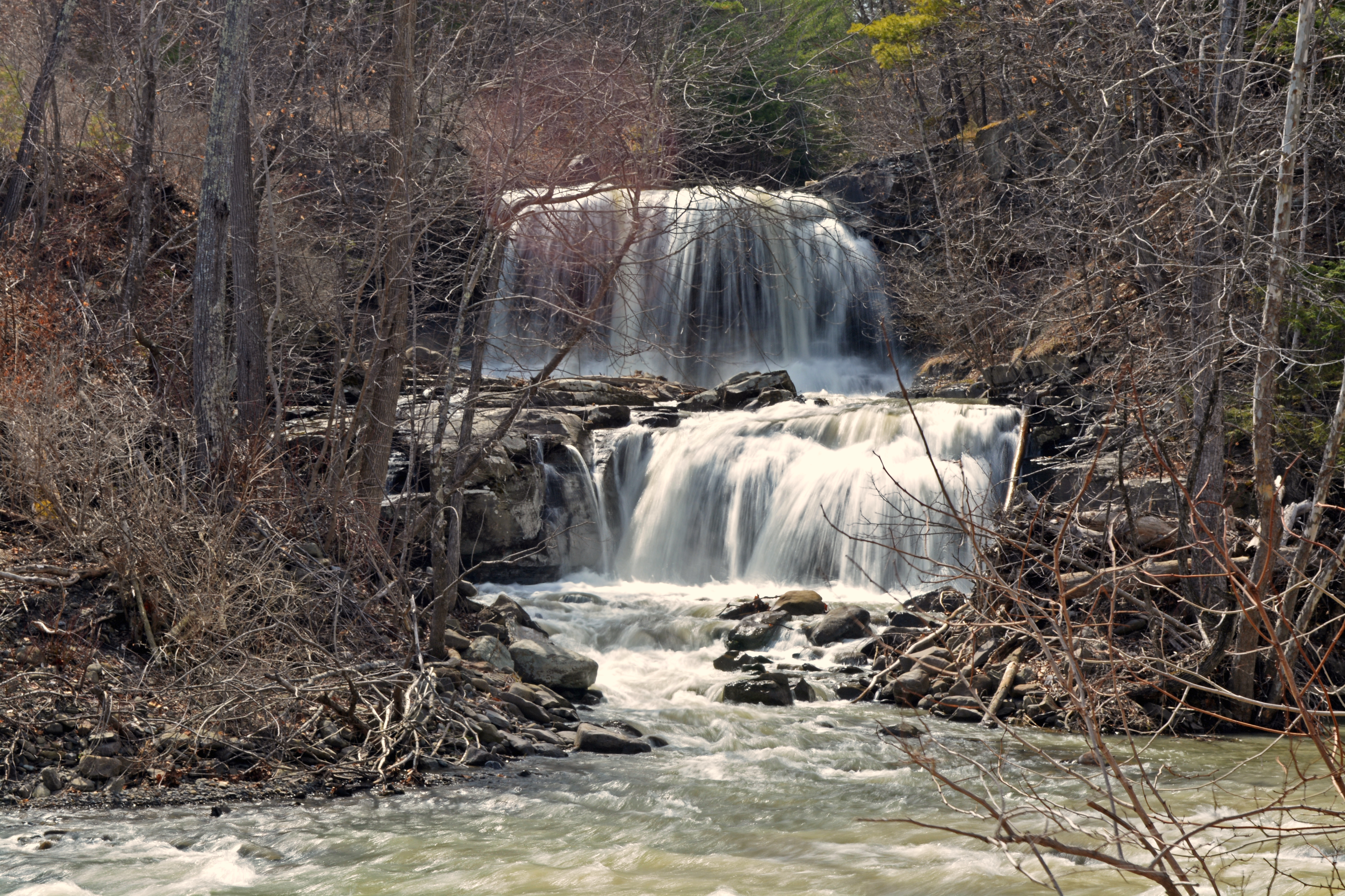
Mill Creek Falls

Red Giant
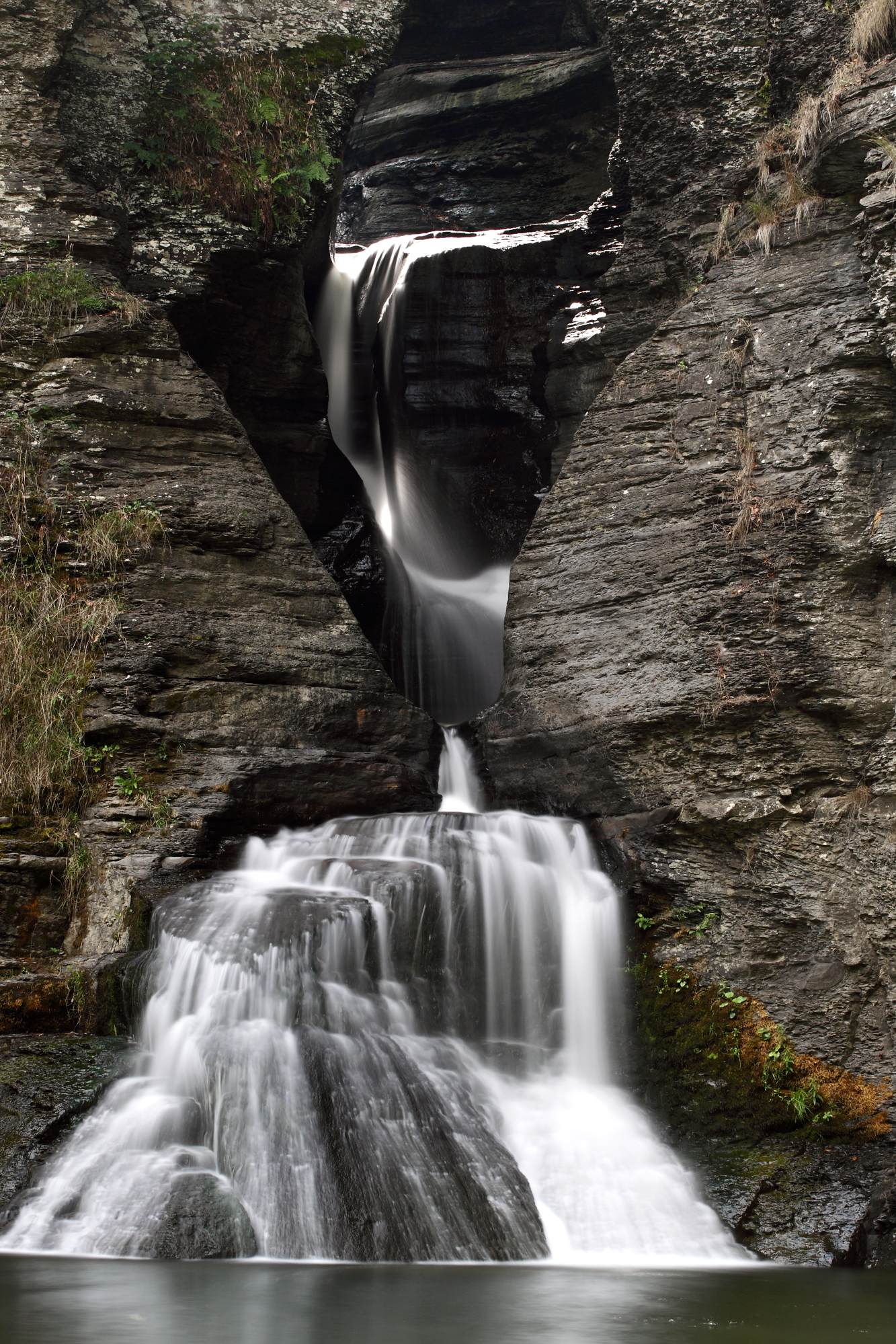
Mine Kill Falls
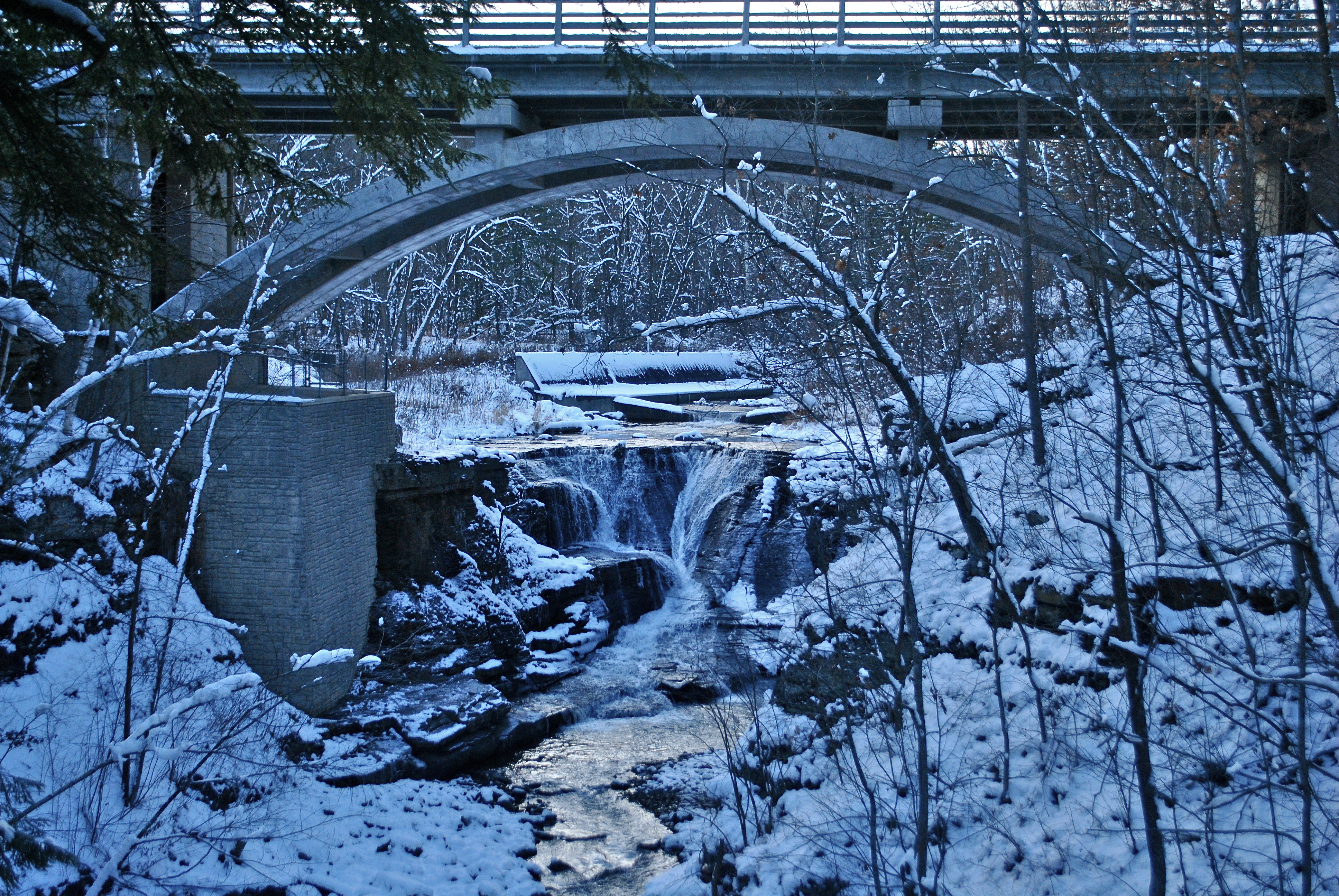
Minekill Bridge
Mt Utsayantha
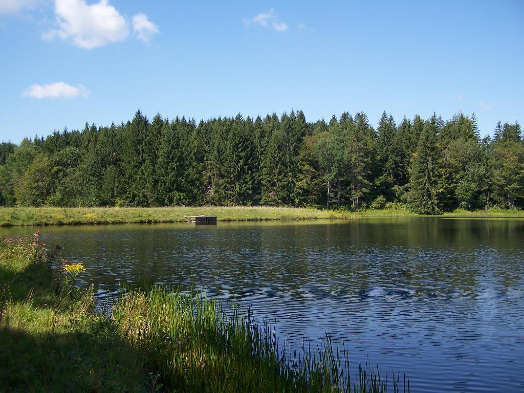
Mallet Pond Dam
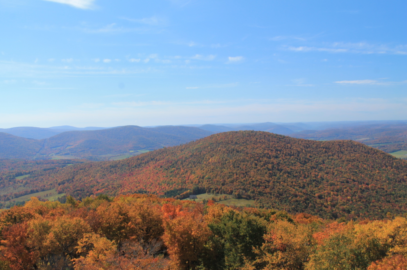
Churchill Mountain and It's Col
DSC01865_DxO.jpg

Tower Mountain Road
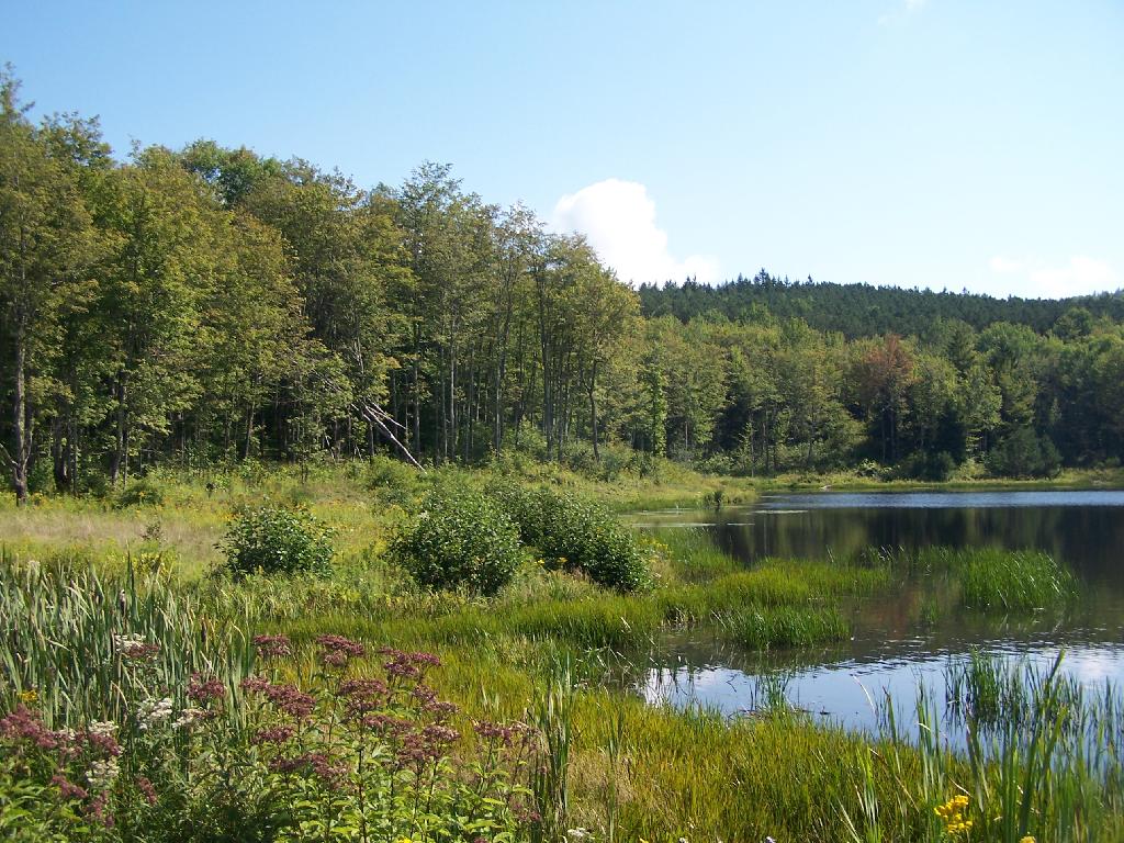
Mallet Pond
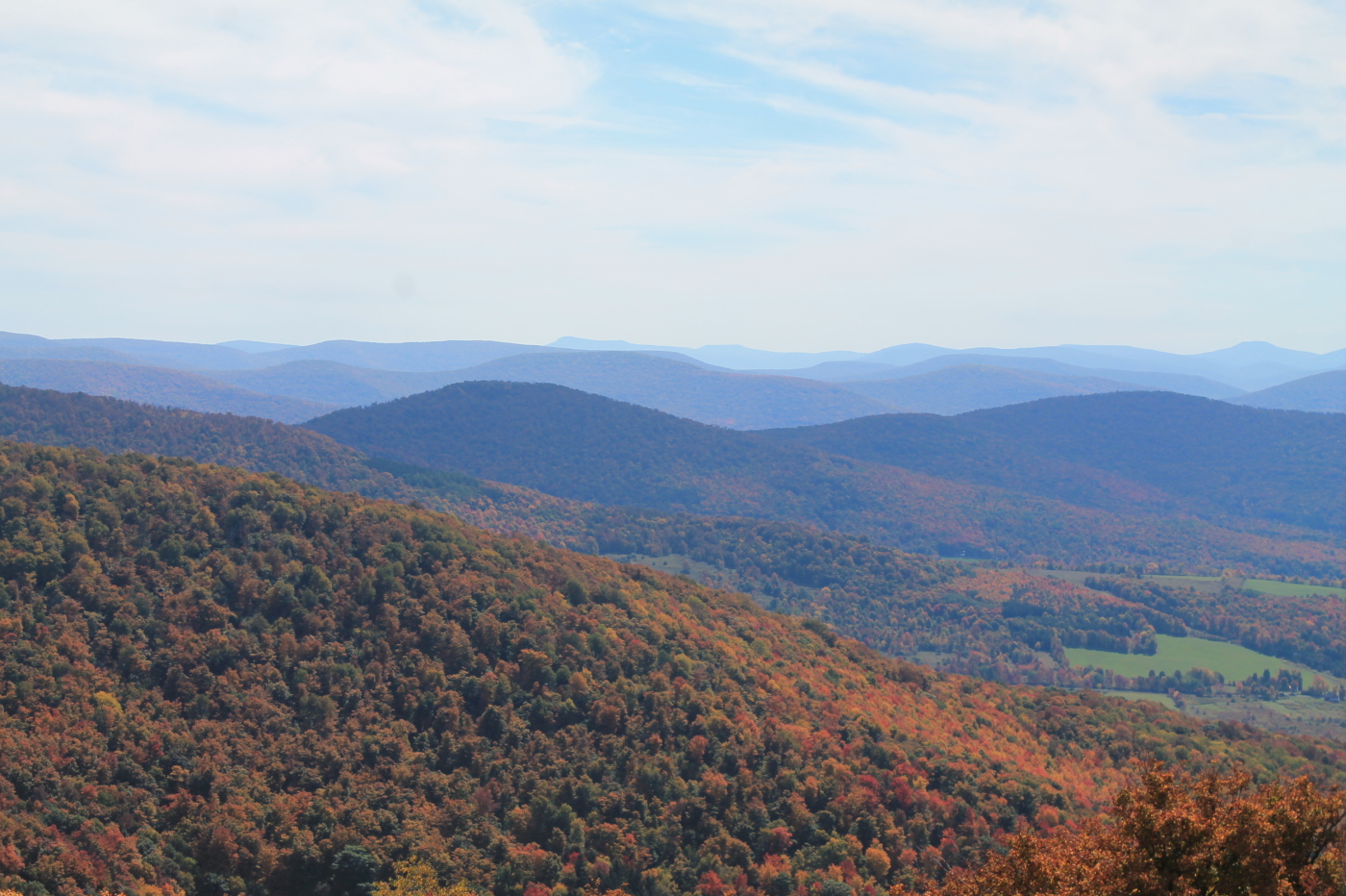
Catskill Mountains from the Firetower
Clapper Hollow State Forest - New York
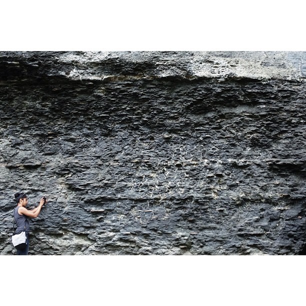
Darshin getting familiar with the earthen stratum

Upper Waterfall
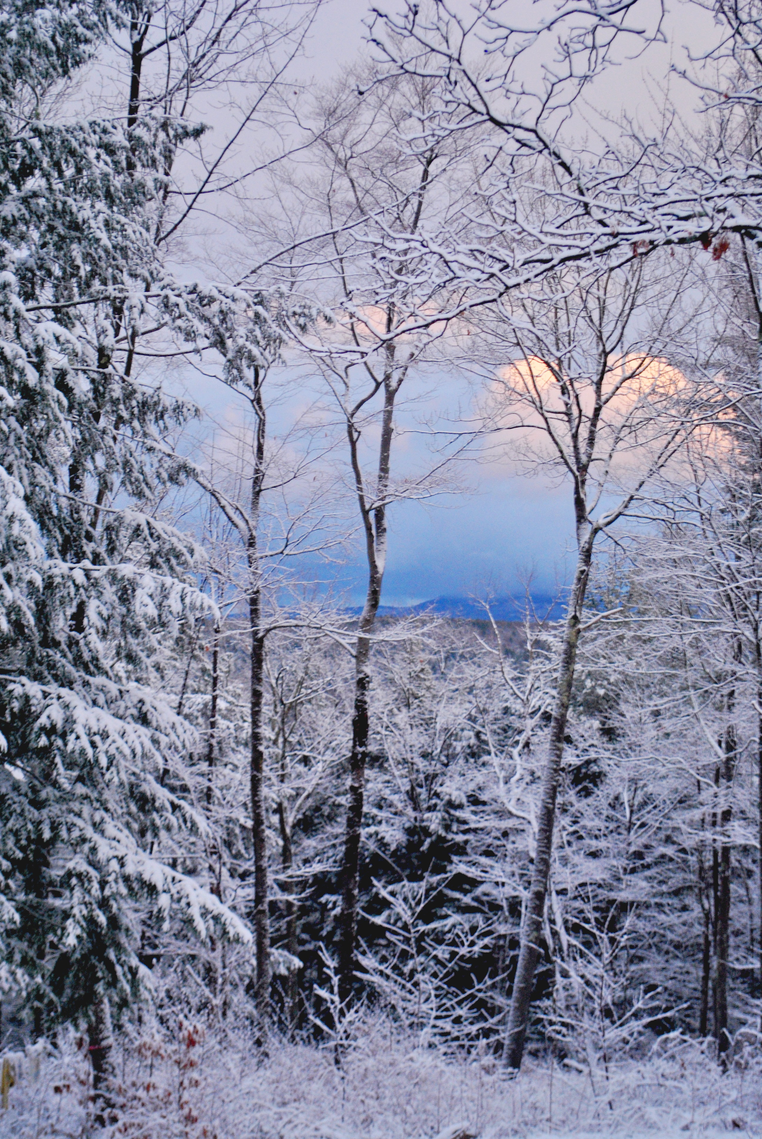
Through the trees

Gilboa Bales
142.jpg

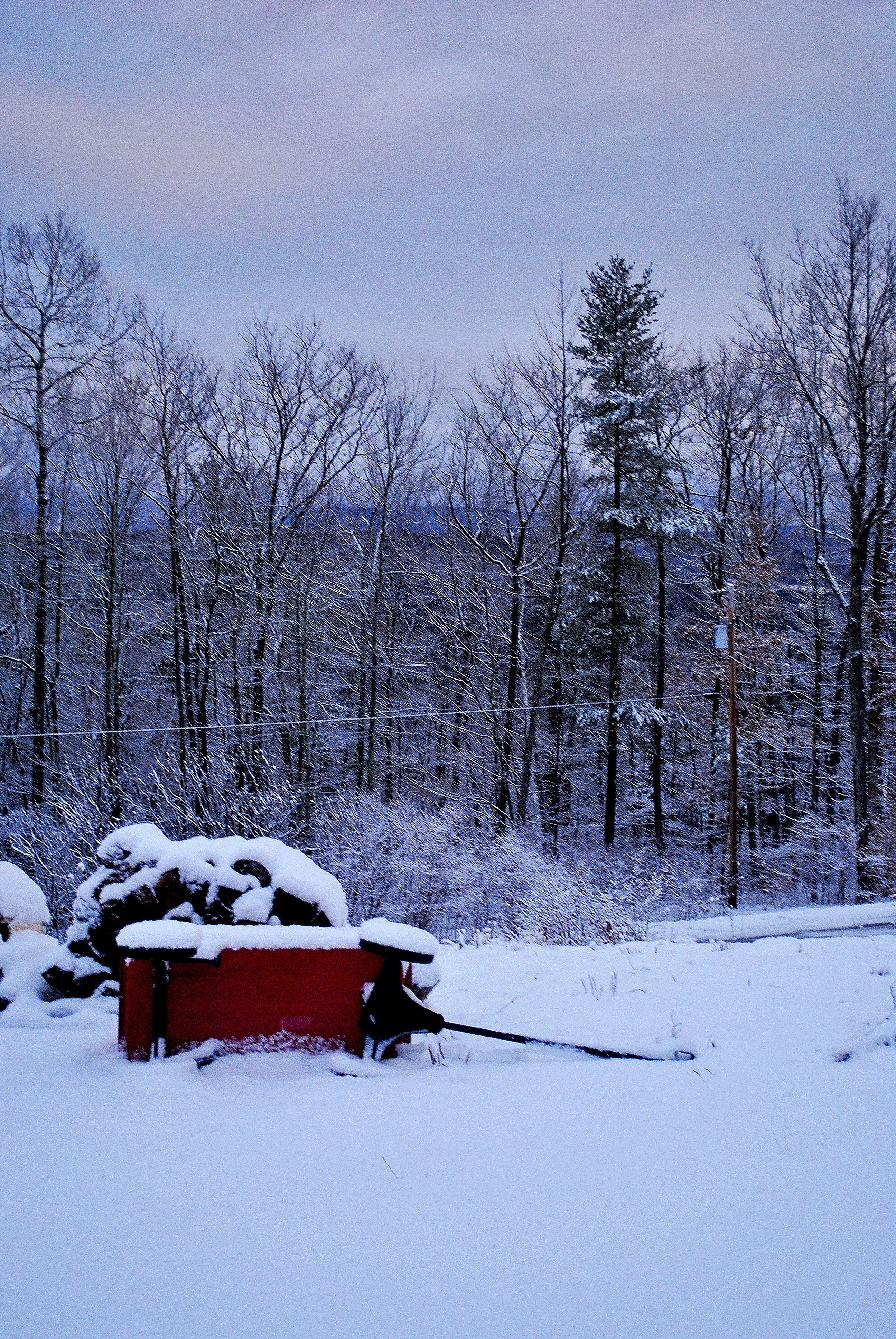
Snow Day
Topographic Map of Moxley St, Jefferson, NY, USA
Find elevation by address:

Places near Moxley St, Jefferson, NY, USA:
Jefferson
Jefferson, NY, USA
1450 Ny-10
107 Tree Stand Ln
106 Park Ave
214 Sunrise Sunset Dr
Jefferson
480 Meade Rd
Veley Road
4591 Co Rd 29
1166 Middlebrook Hill Rd
Peraglie Road
Middlebrook Hill Rd, Jefferson, NY, USA
New York 23
Harpersfield
887 Cape Horn Rd
Brookview Drive
Harpersfield
581 Odell Lake Rd
3 Hobart Rd
Recent Searches:
- Elevation of Gateway Blvd SE, Canton, OH, USA
- Elevation of East W.T. Harris Boulevard, E W.T. Harris Blvd, Charlotte, NC, USA
- Elevation of West Sugar Creek, Charlotte, NC, USA
- Elevation of Wayland, NY, USA
- Elevation of Steadfast Ct, Daphne, AL, USA
- Elevation of Lagasgasan, X+CQH, Tiaong, Quezon, Philippines
- Elevation of Rojo Ct, Atascadero, CA, USA
- Elevation of Flagstaff Drive, Flagstaff Dr, North Carolina, USA
- Elevation of Avery Ln, Lakeland, FL, USA
- Elevation of Woolwine, VA, USA