Elevation of Jefferson, NY, USA
Location: United States > New York > Schoharie County > Jefferson > Jefferson >
Longitude: -74.616619
Latitude: 42.4987968
Elevation: 615m / 2018feet
Barometric Pressure: 94KPa
Elevation Map:
Satellite Map:
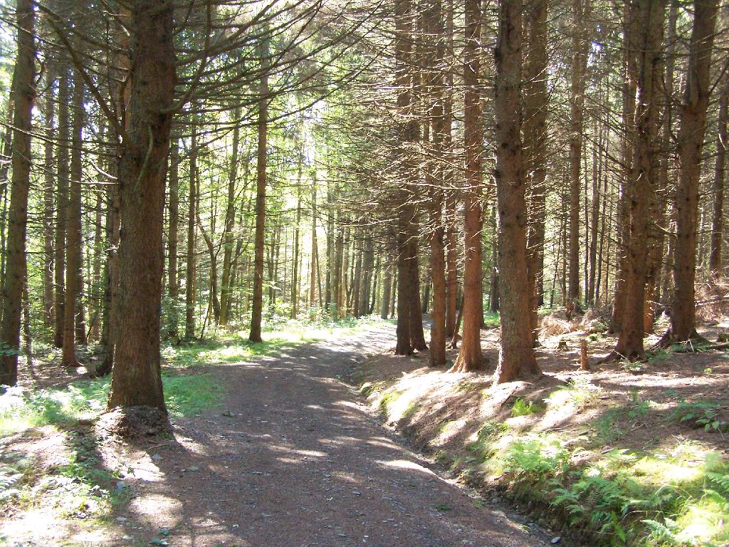
Related Photos:
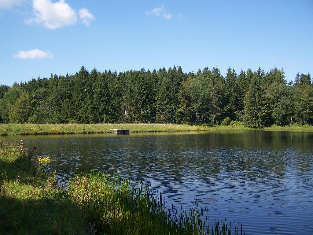
Minekill Falls

cst-hills
The Other Side Of The Road
A different kind of Flyer.
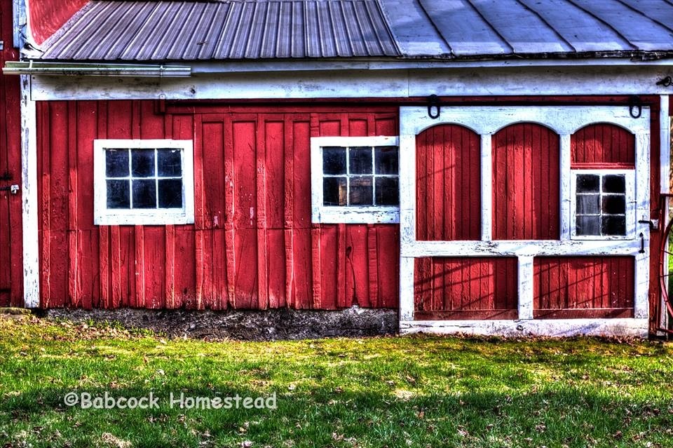
Babcock Homestead Barn - Built 1883
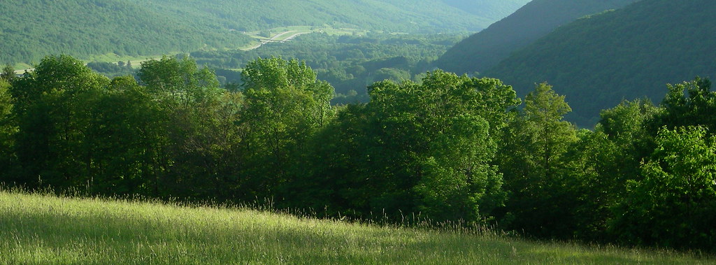
view from south hill
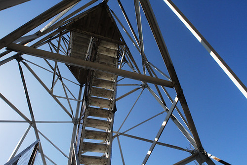
On Mount Utsayantha
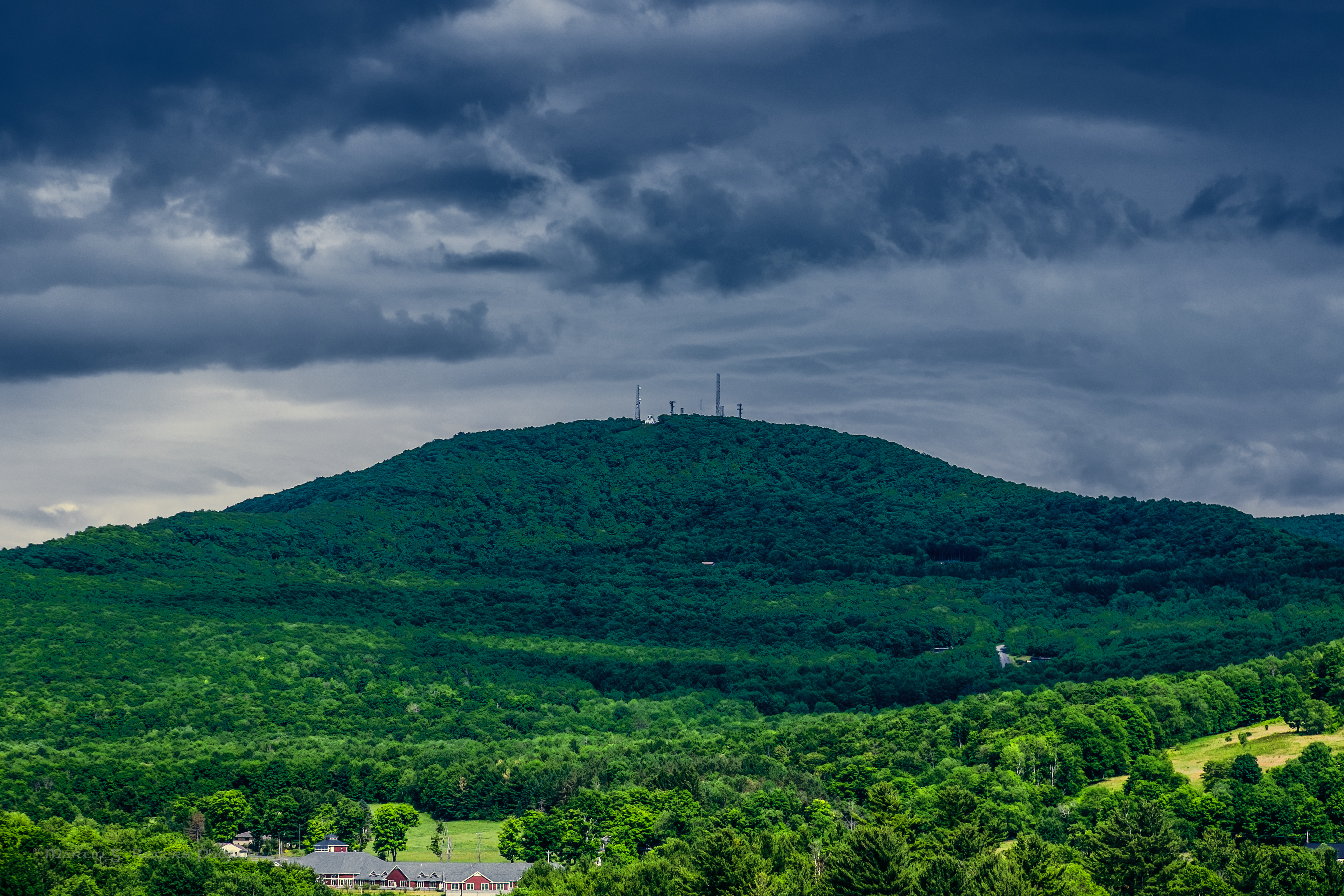
Mount Utsayantha
Mmmm ice storm

View of Gorge Walls

Little Known View of Mine Kill Falls

Time for take off...
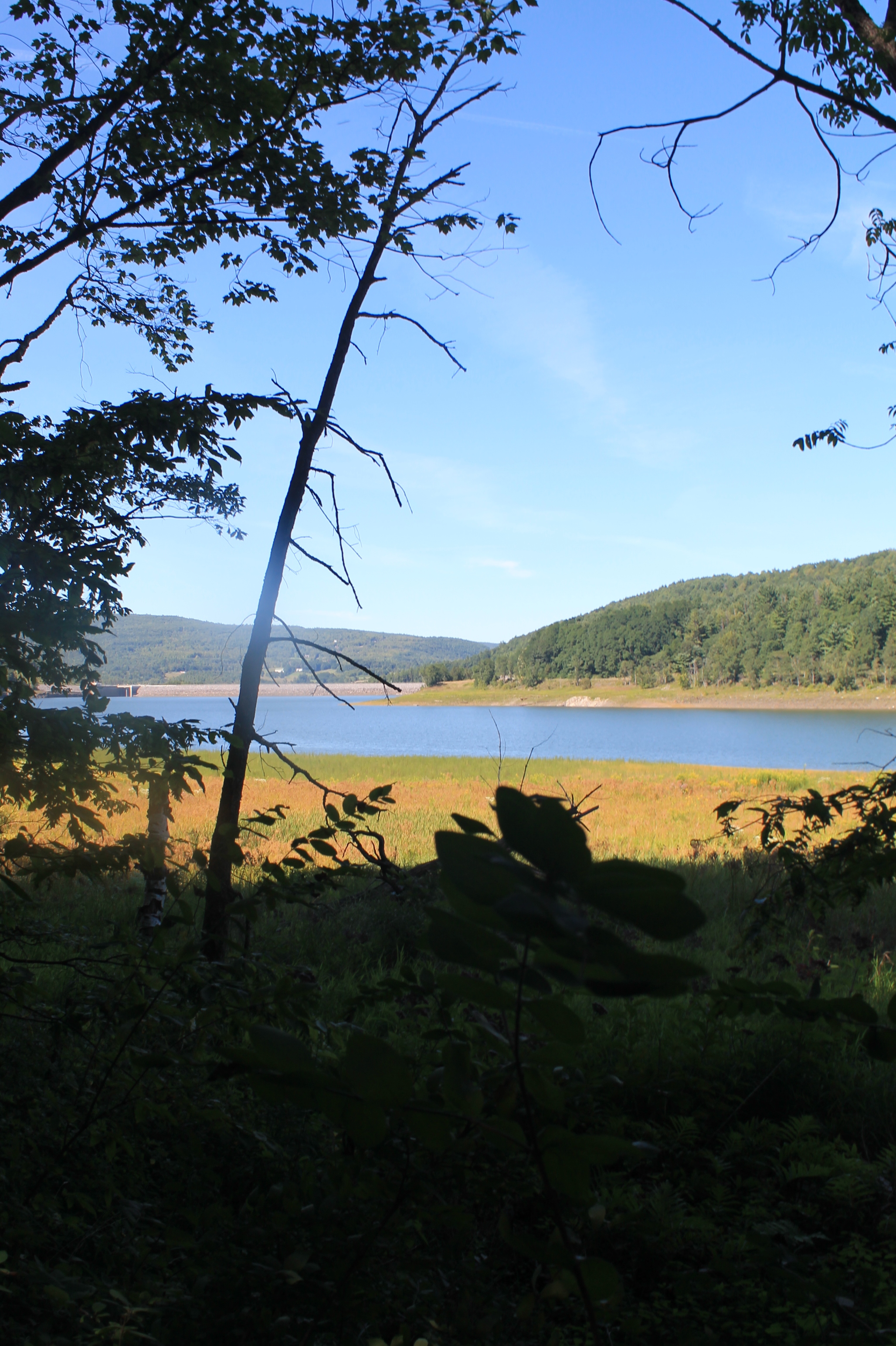
Reservior View
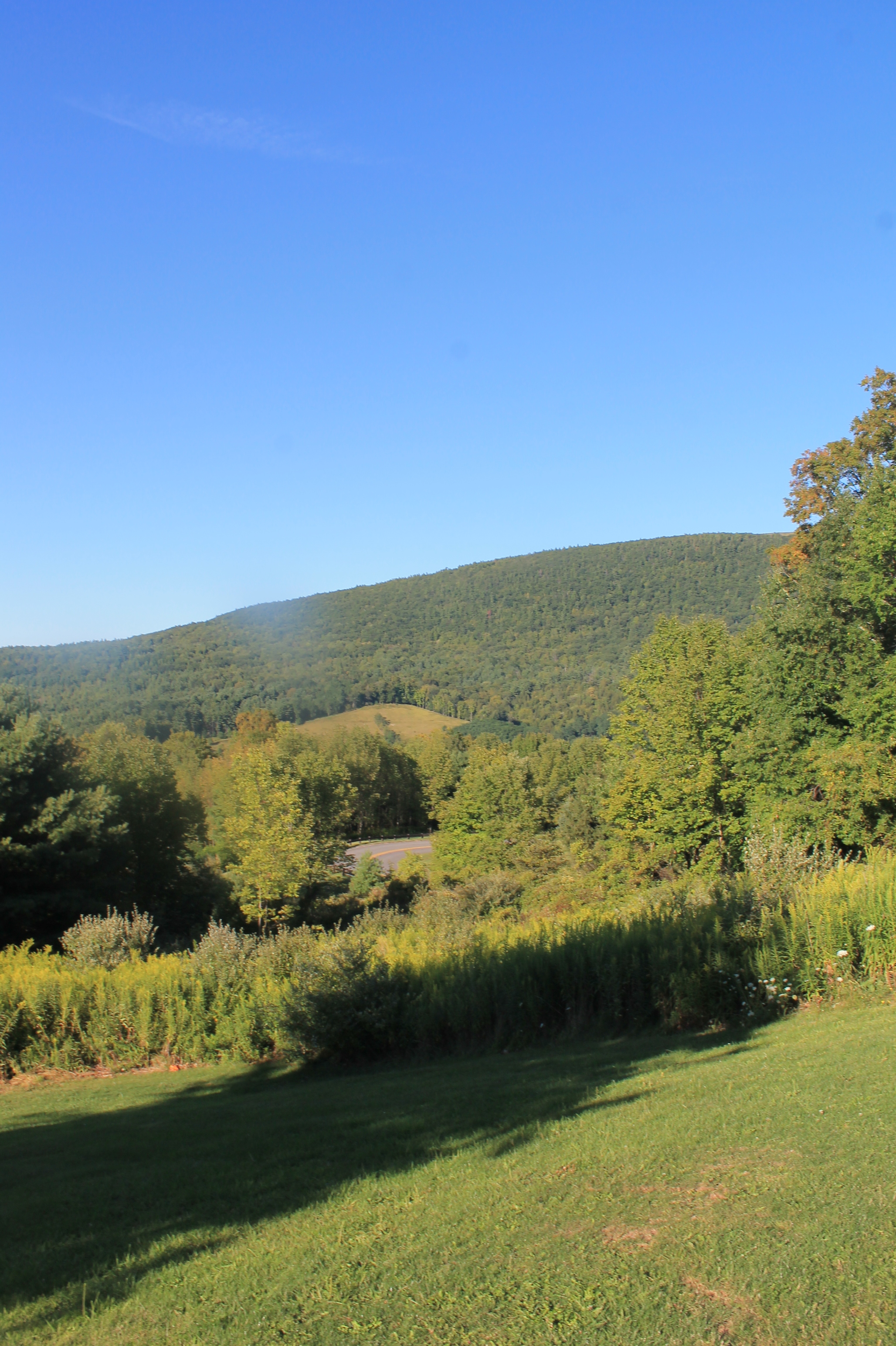
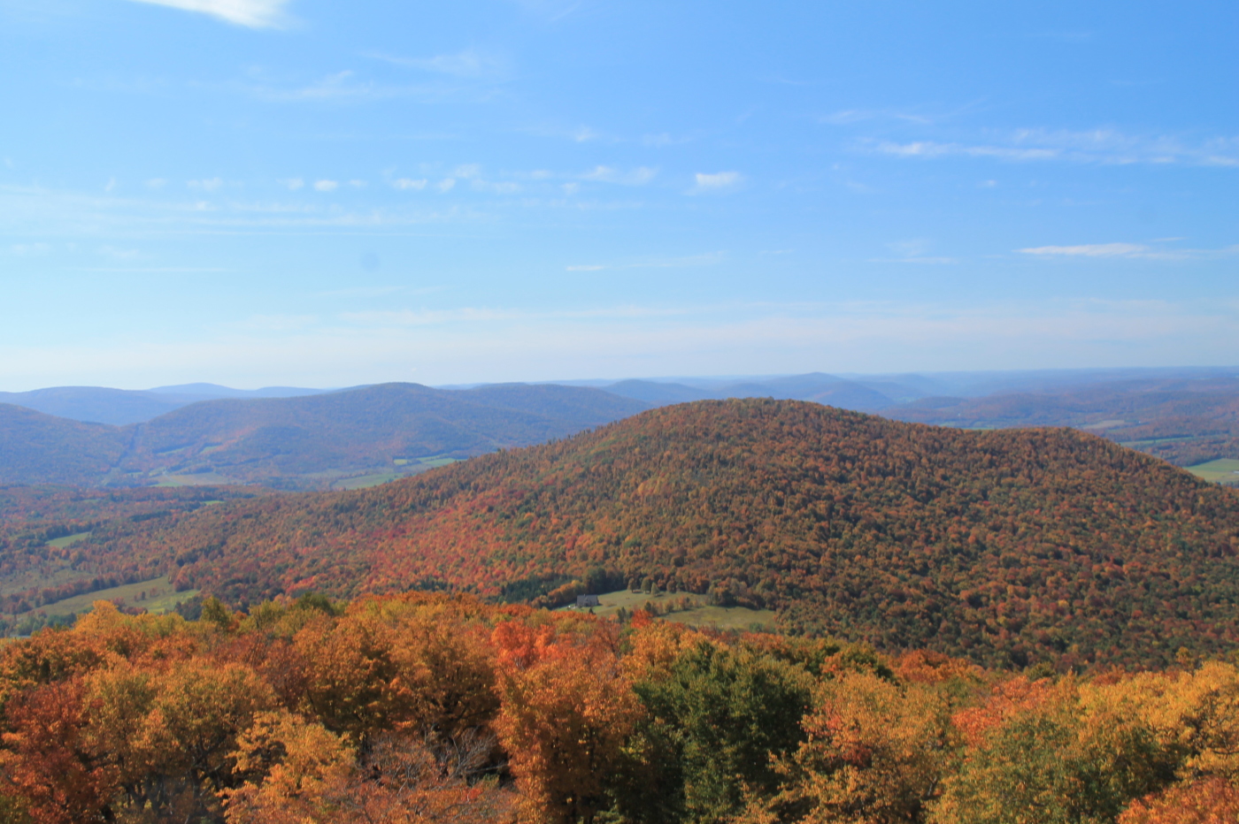
View Into Valley
Another View from the Clear Cut

View from Middle Landing
April 10 (100/365)
It's up there...
Mount Utsayantha

fossil beach view
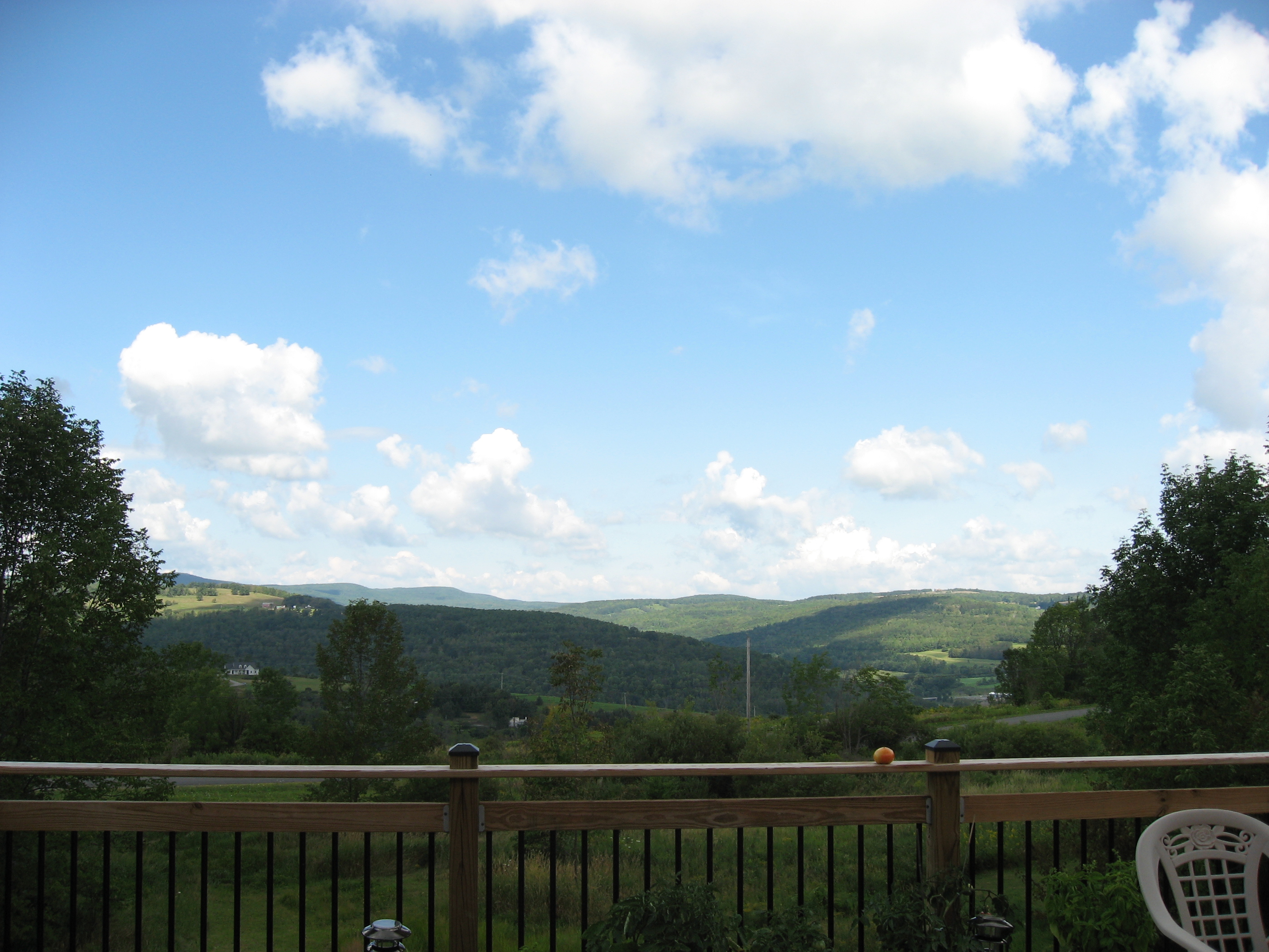
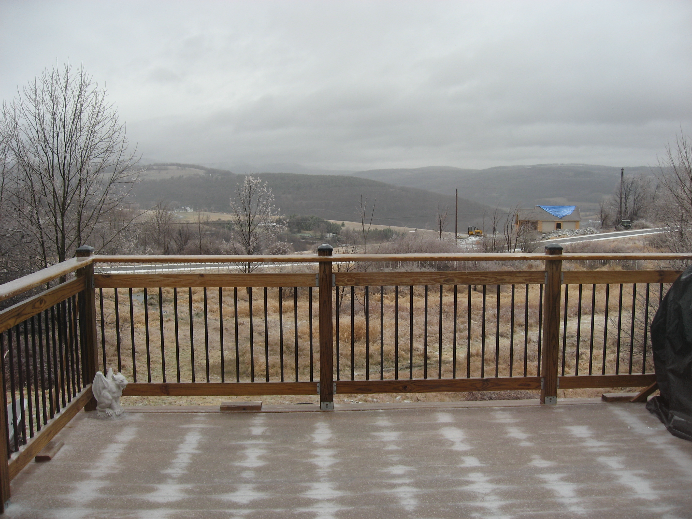
The view from the back deck.
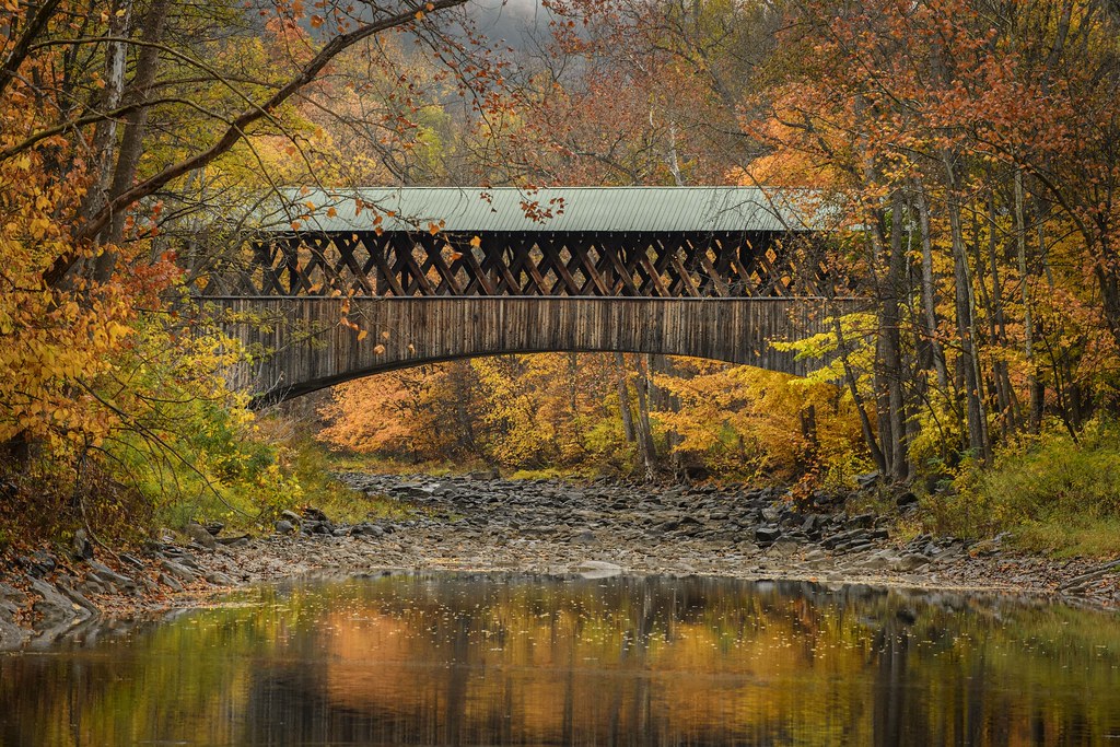
Blenheim Covered Bridge
Mallet Pond Dam
Churchill Mountain and It's Col
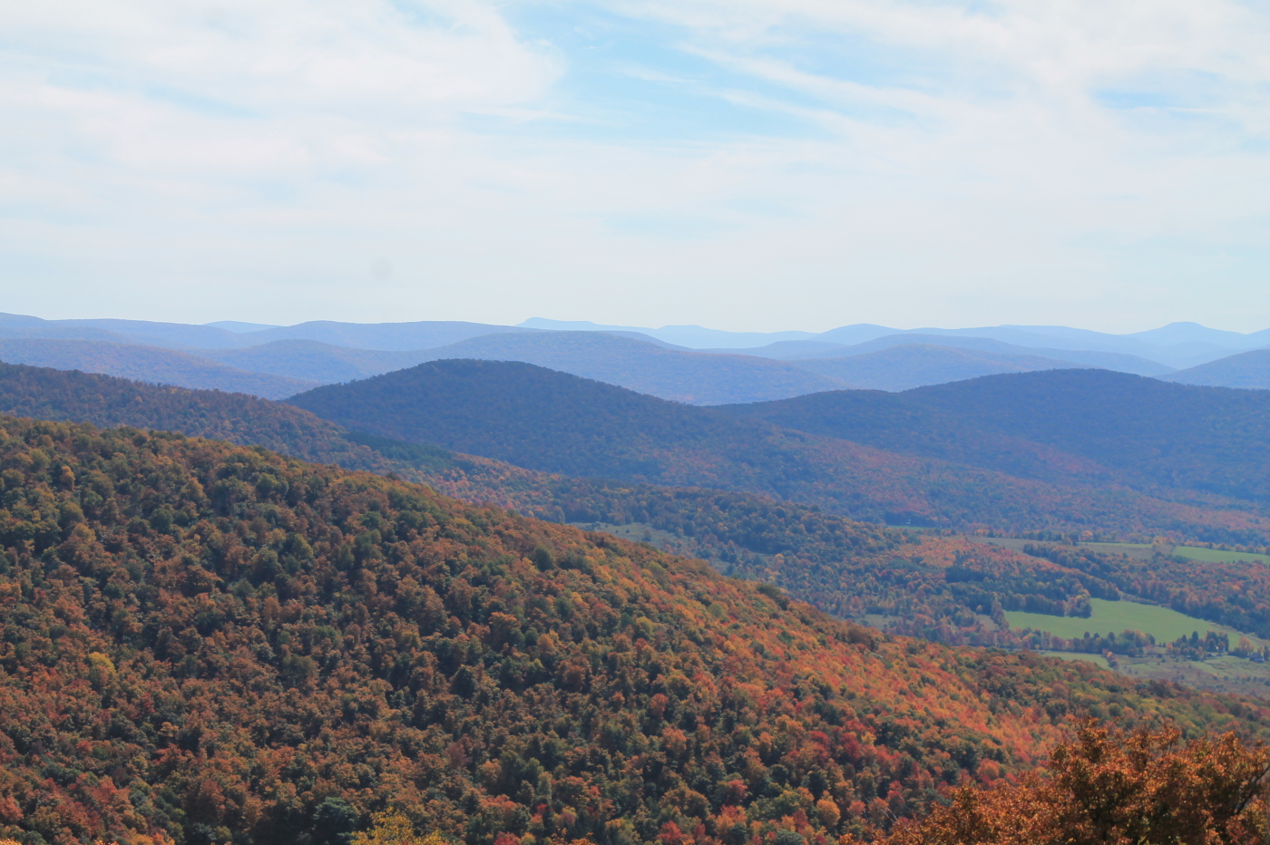
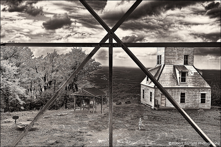
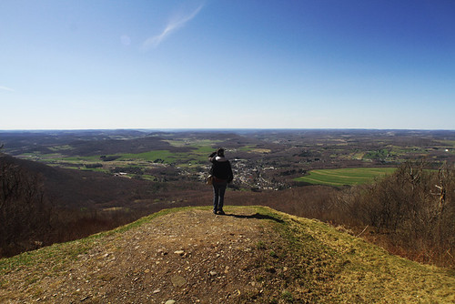
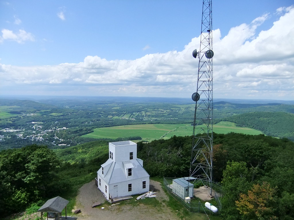
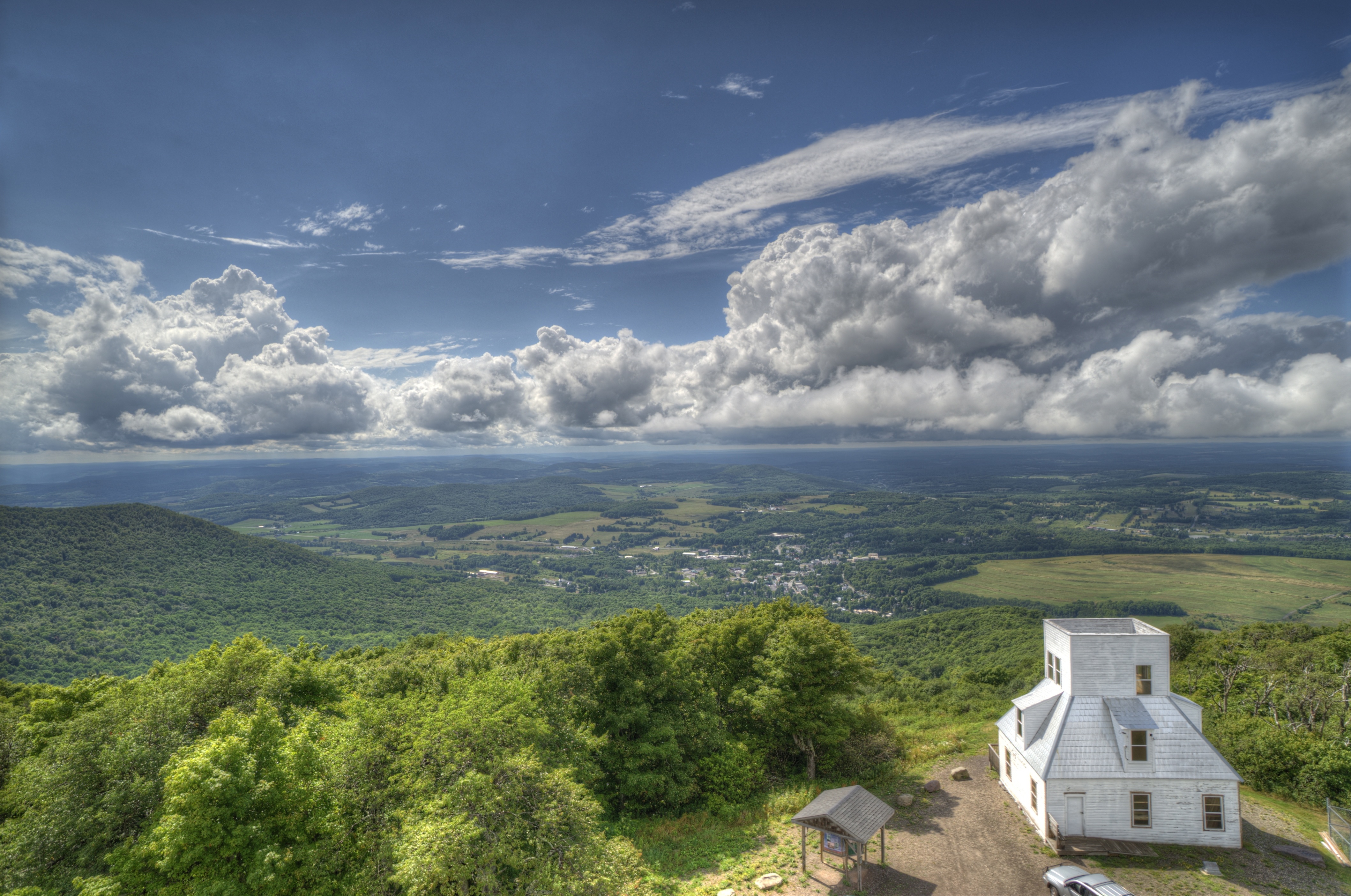
Catskill Mountains from the Firetower
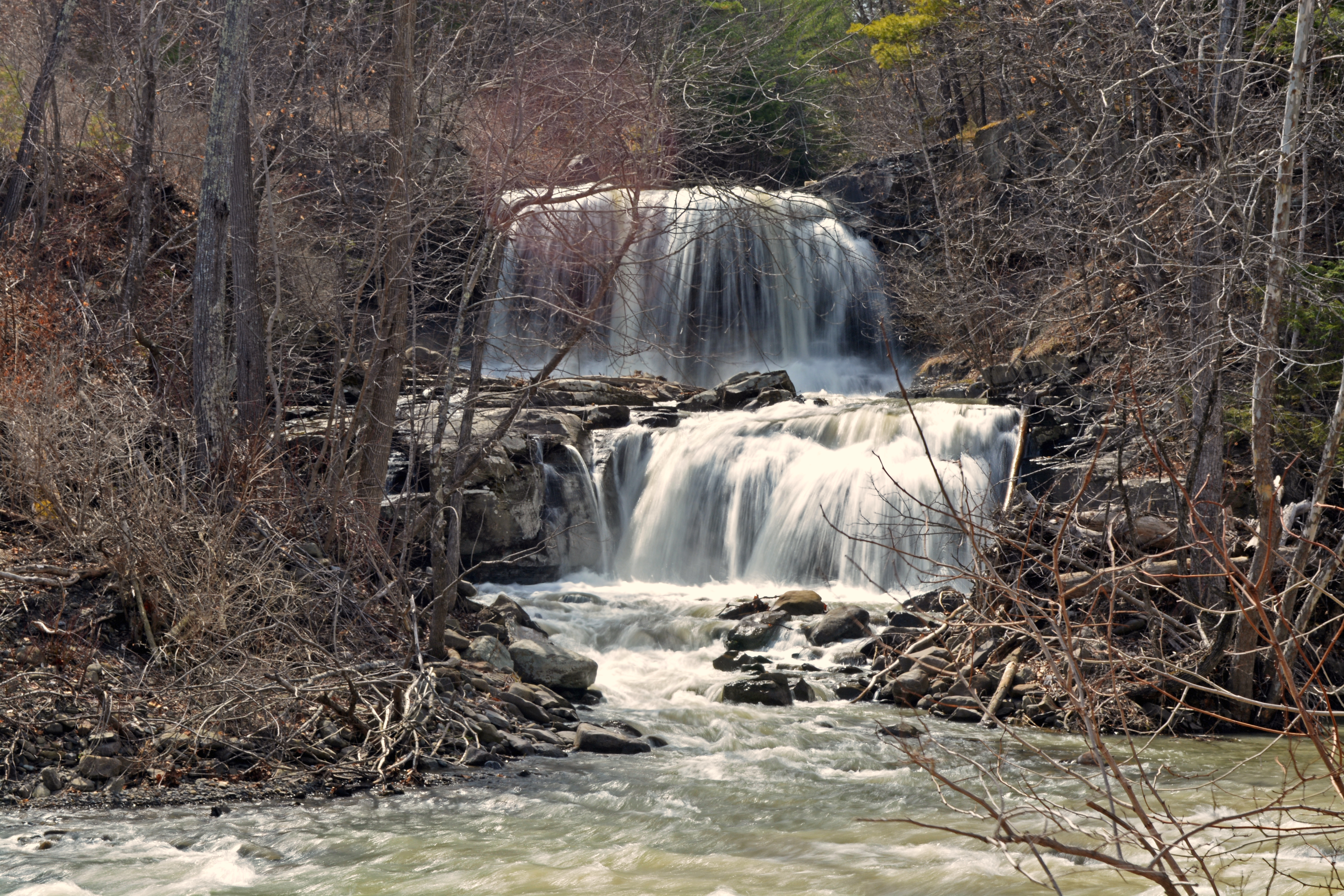
Mill Creek Falls

Red Giant
Mt Utsayantha
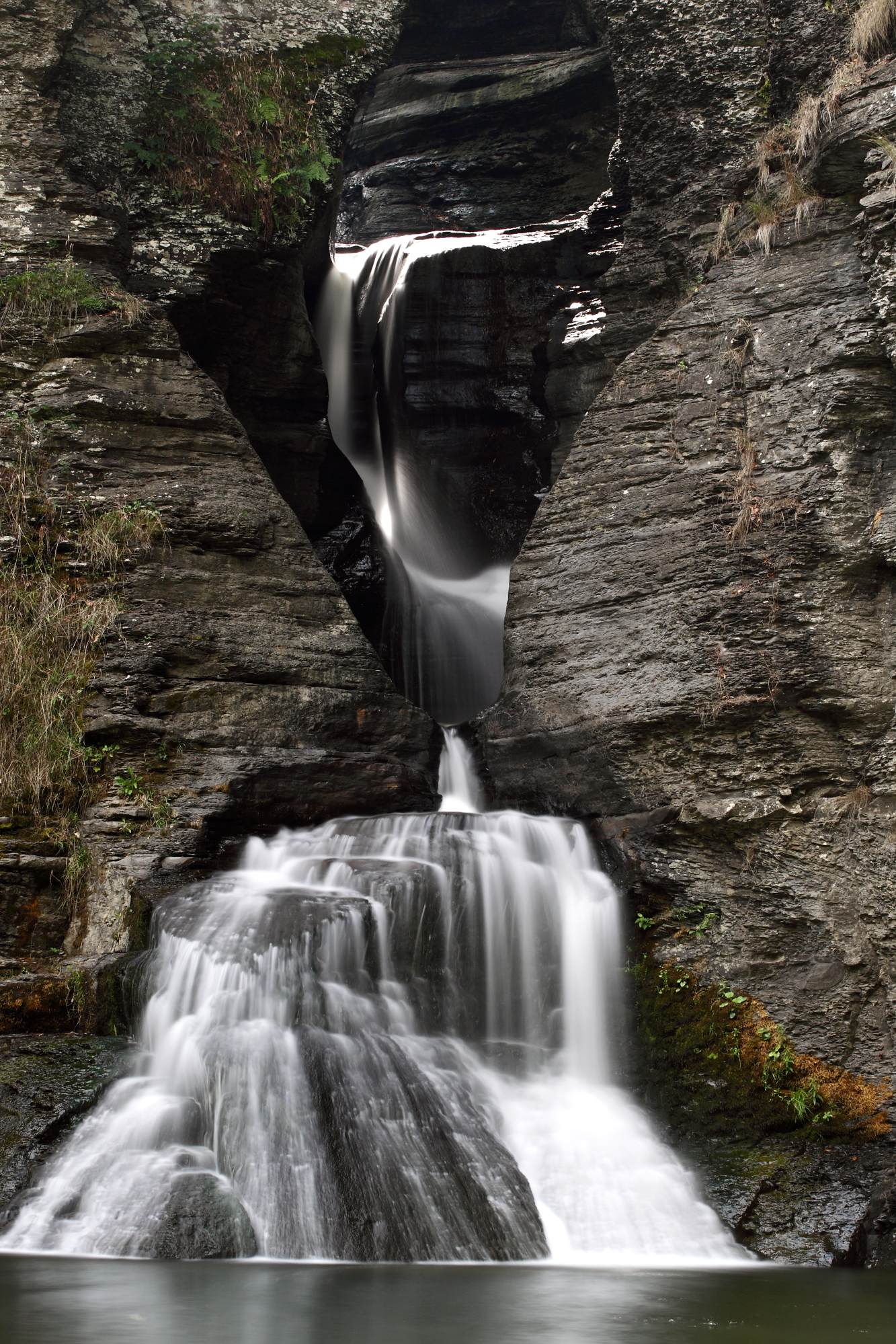
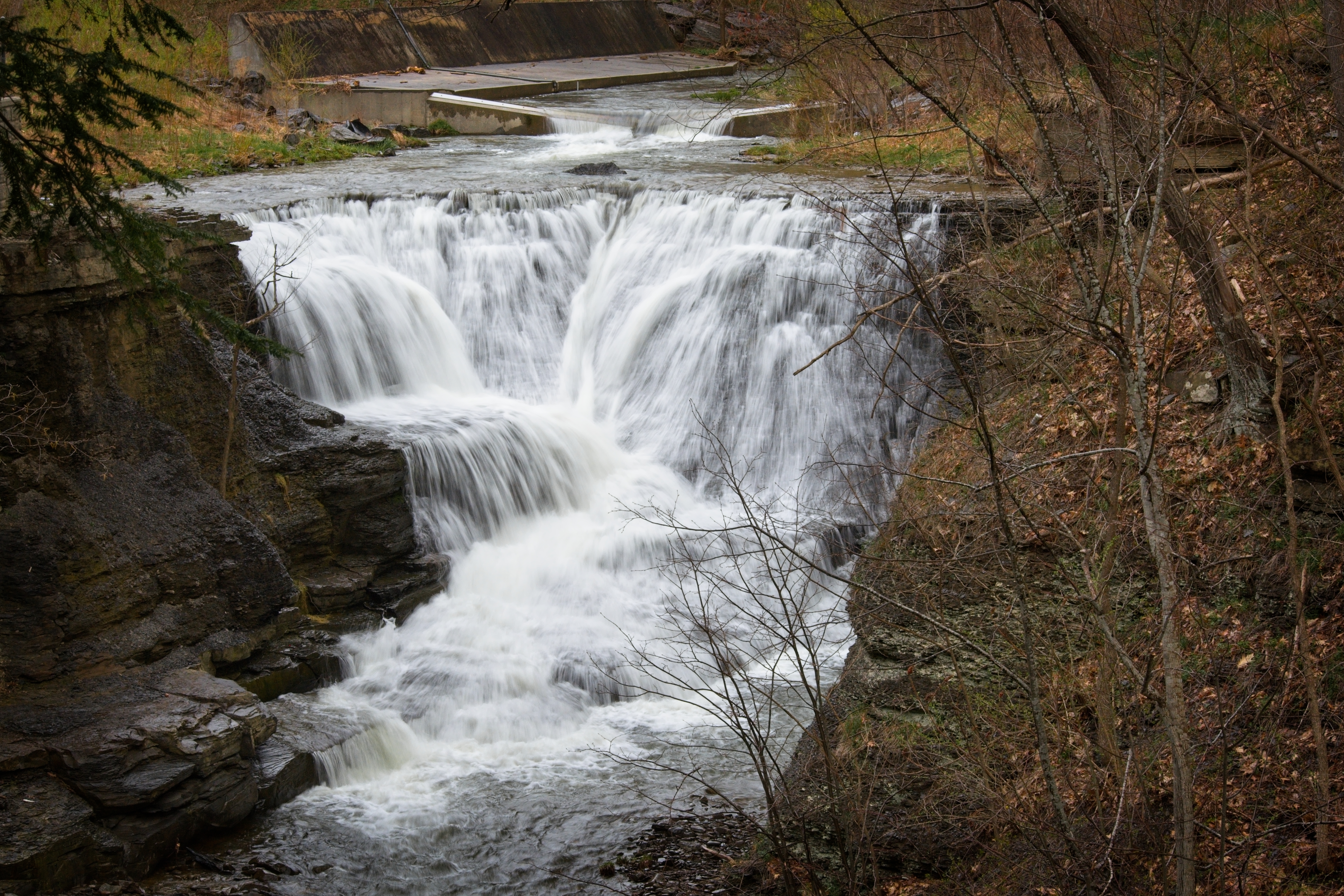
Mine Kill Falls
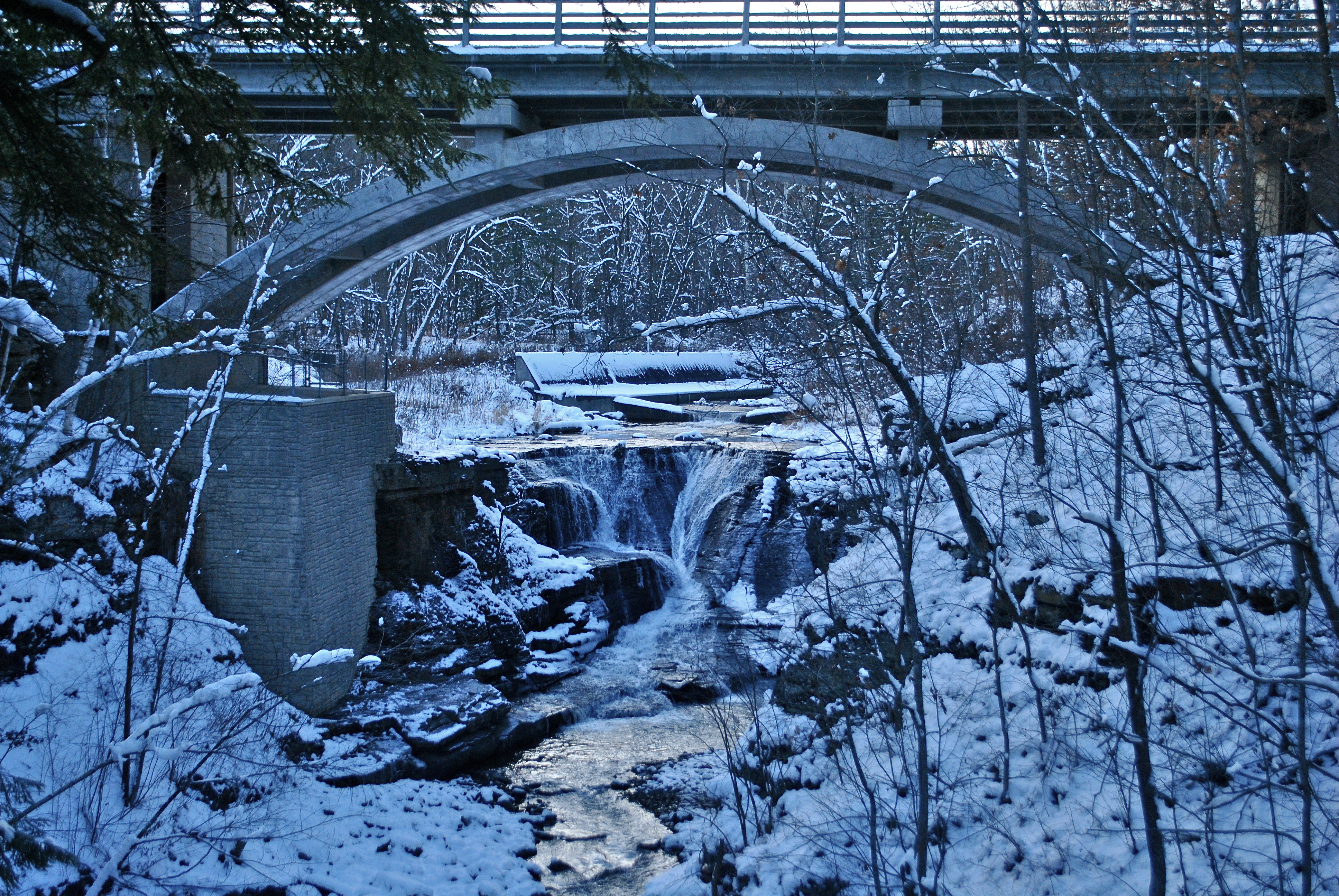
Minekill Bridge

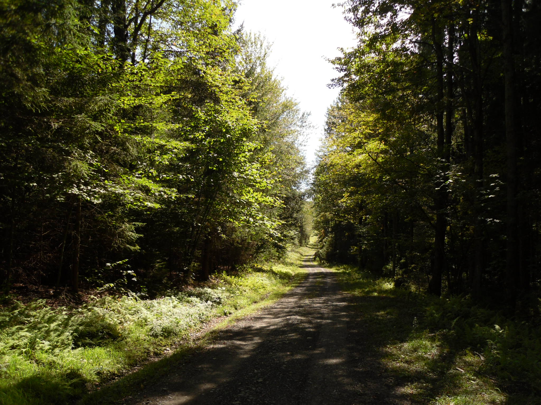
Tower Mountain Road
Clapper Hollow State Forest - New York
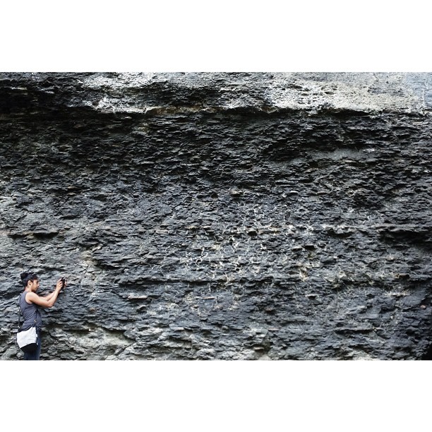
Darshin getting familiar with the earthen stratum

Gilboa Bales
Mallet Pond
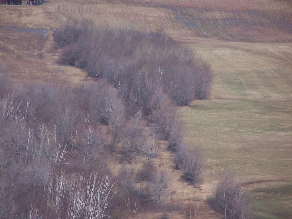
Trees, Corn Field, Hay Field

Narrow Notch Road Across Township Valley

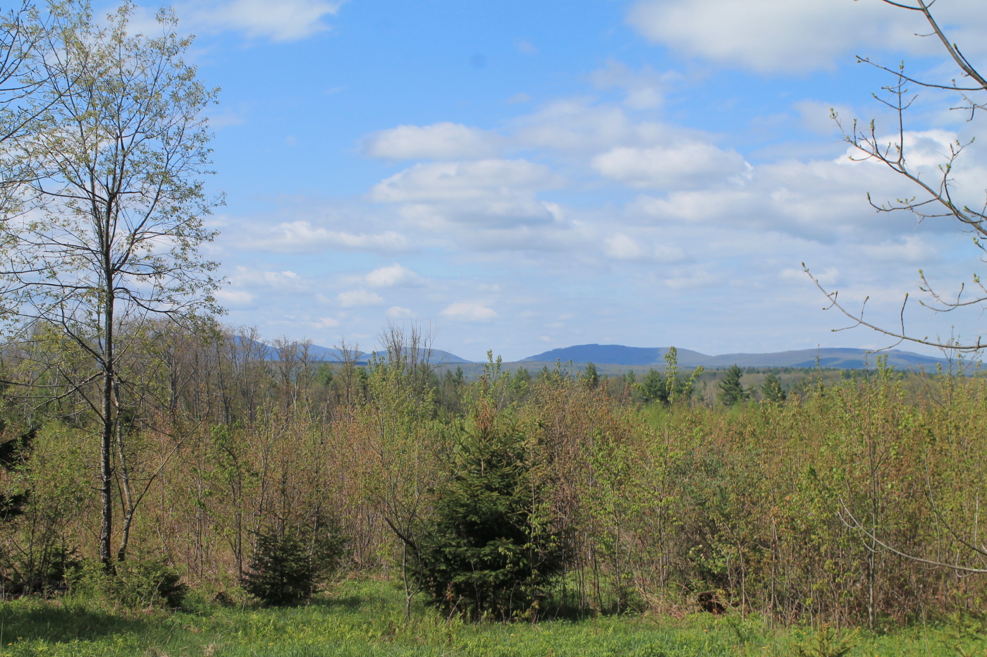
Towards the Clear Cuts Scrubland
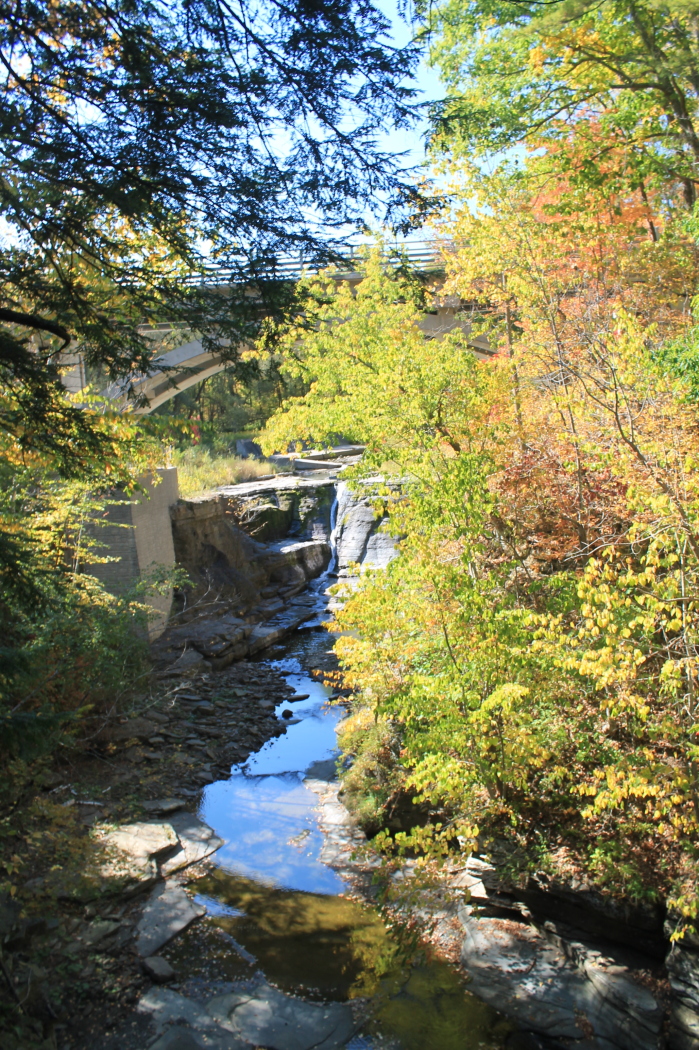
Bridge Over Mine Kill Falls
Path Down to Mallet Pond
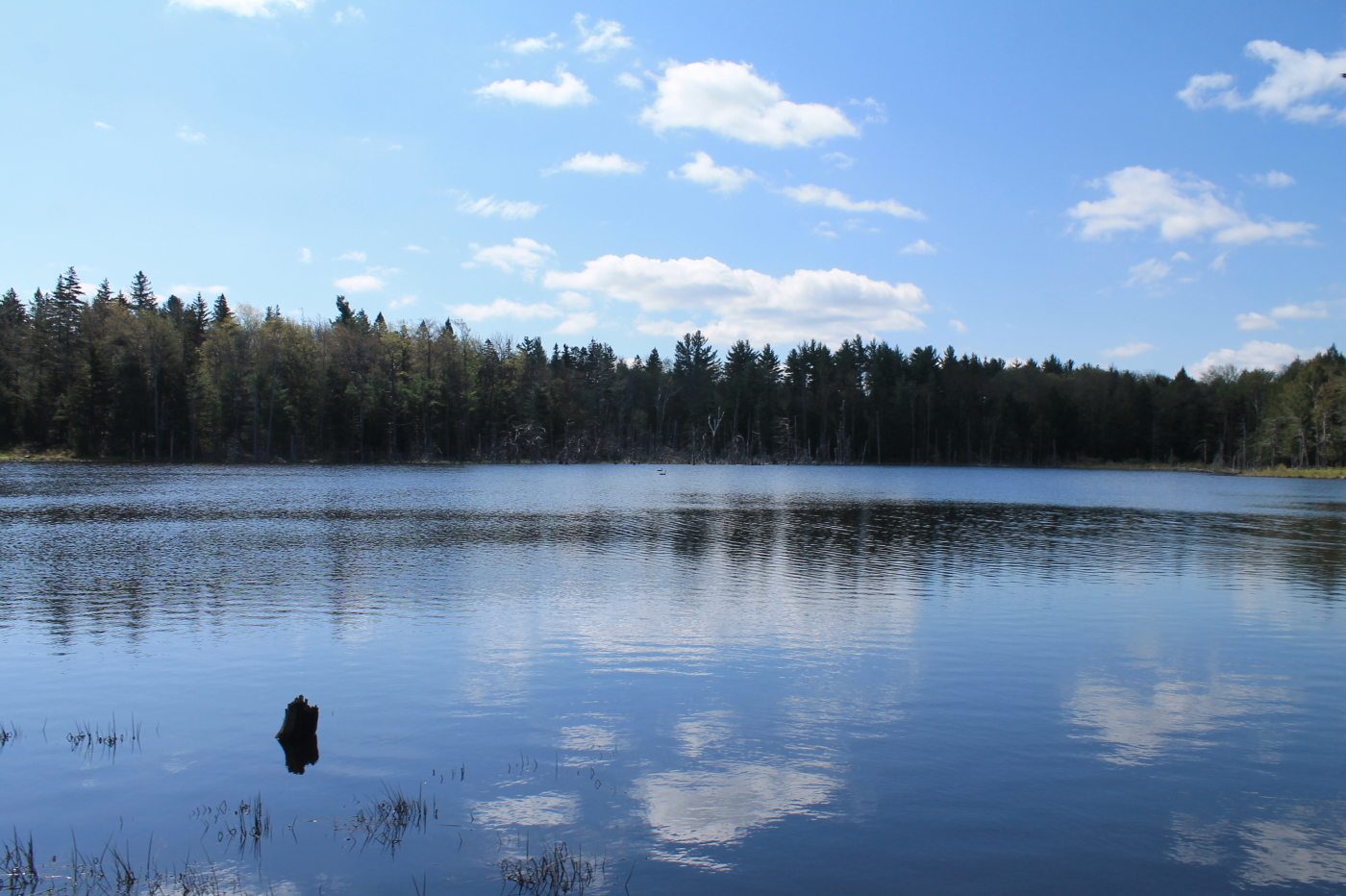
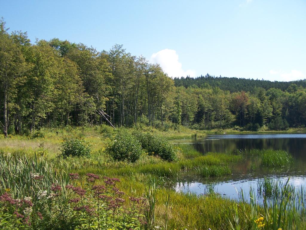
Looking Glass Pond is Full !
Topographic Map of Jefferson, NY, USA
Find elevation by address:

Places near Jefferson, NY, USA:
Jefferson
1450 Ny-10
Jefferson
106 Park Ave
356 Moxley St
107 Tree Stand Ln
Peraglie Road
214 Sunrise Sunset Dr
480 Meade Rd
Veley Road
887 Cape Horn Rd
Brookview Drive
1166 Middlebrook Hill Rd
4591 Co Rd 29
133 Heavens Hollow Rd
664 Cape Horn Rd
136 Lawrence Mountain Rd
136 Lawrence Mountain Rd
136 Lawrence Mountain Rd
136 Lawrence Mountain Rd
Recent Searches:
- Elevation of Lampiasi St, Sarasota, FL, USA
- Elevation of Elwyn Dr, Roanoke Rapids, NC, USA
- Elevation of Congressional Dr, Stevensville, MD, USA
- Elevation of Bellview Rd, McLean, VA, USA
- Elevation of Stage Island Rd, Chatham, MA, USA
- Elevation of Shibuya Scramble Crossing, 21 Udagawacho, Shibuya City, Tokyo -, Japan
- Elevation of Jadagoniai, Kaunas District Municipality, Lithuania
- Elevation of Pagonija rock, Kranto 7-oji g. 8"N, Kaunas, Lithuania
- Elevation of Co Rd 87, Jamestown, CO, USA
- Elevation of Tenjo, Cundinamarca, Colombia