Elevation of Lawrence Mountain Rd, Stamford, NY, USA
Location: United States > New York > Delaware County > Stamford > Stamford >
Longitude: -74.564168
Latitude: 42.4391728
Elevation: 555m / 1821feet
Barometric Pressure: 95KPa
Elevation Map:
Satellite Map:
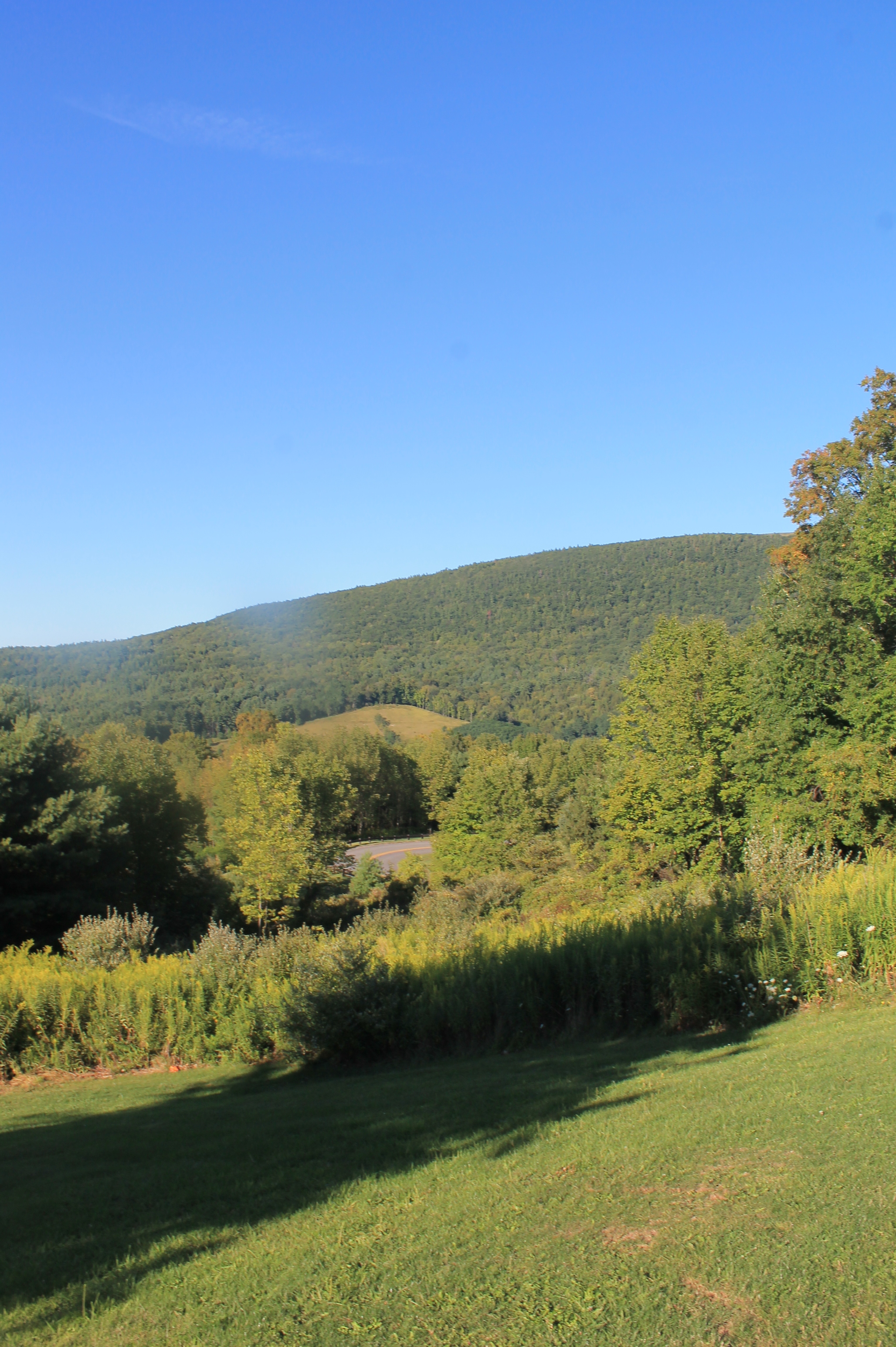
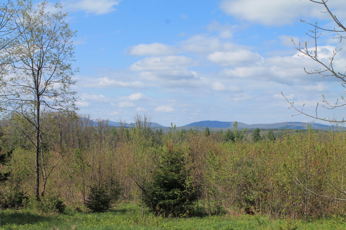
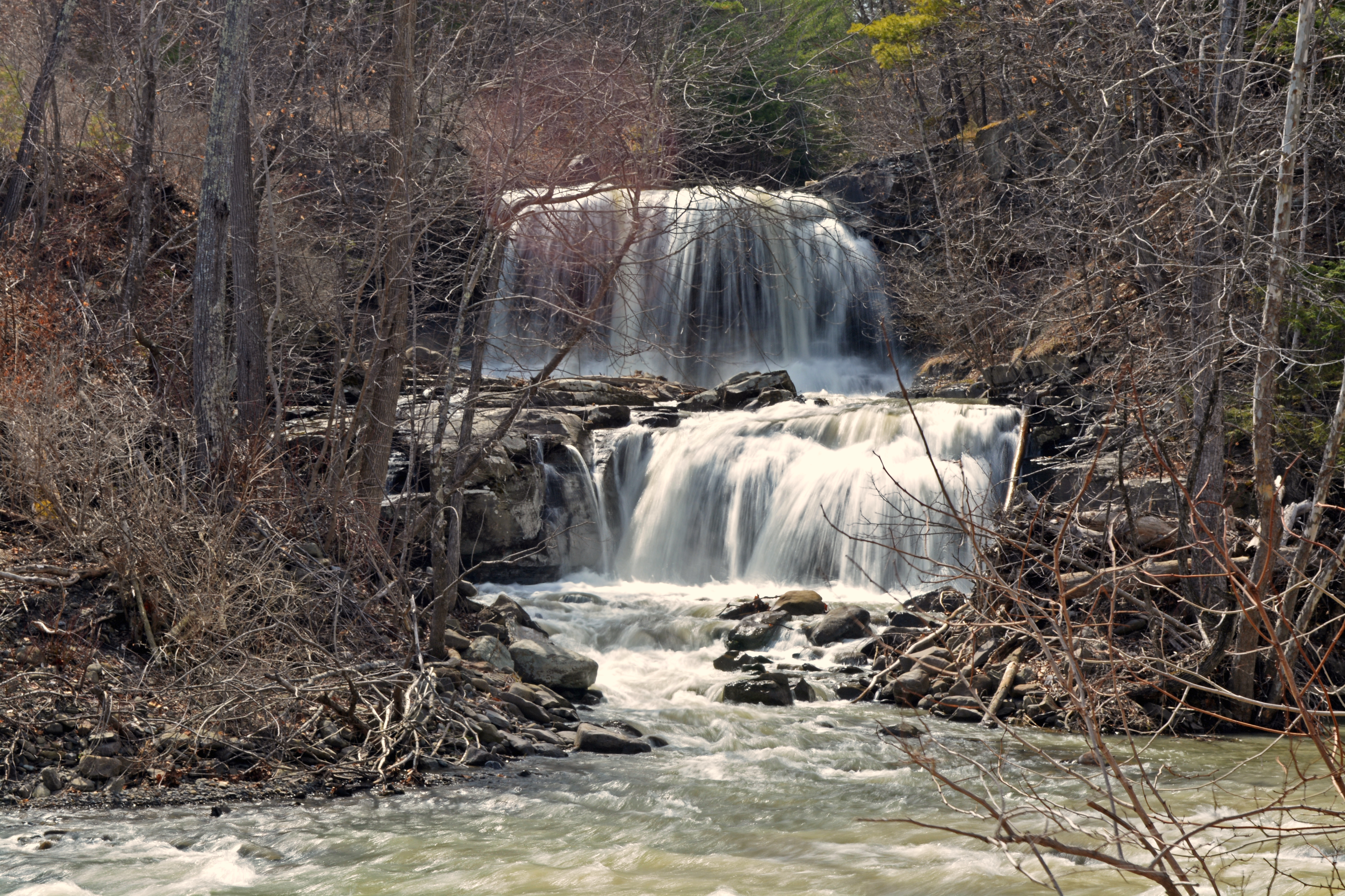
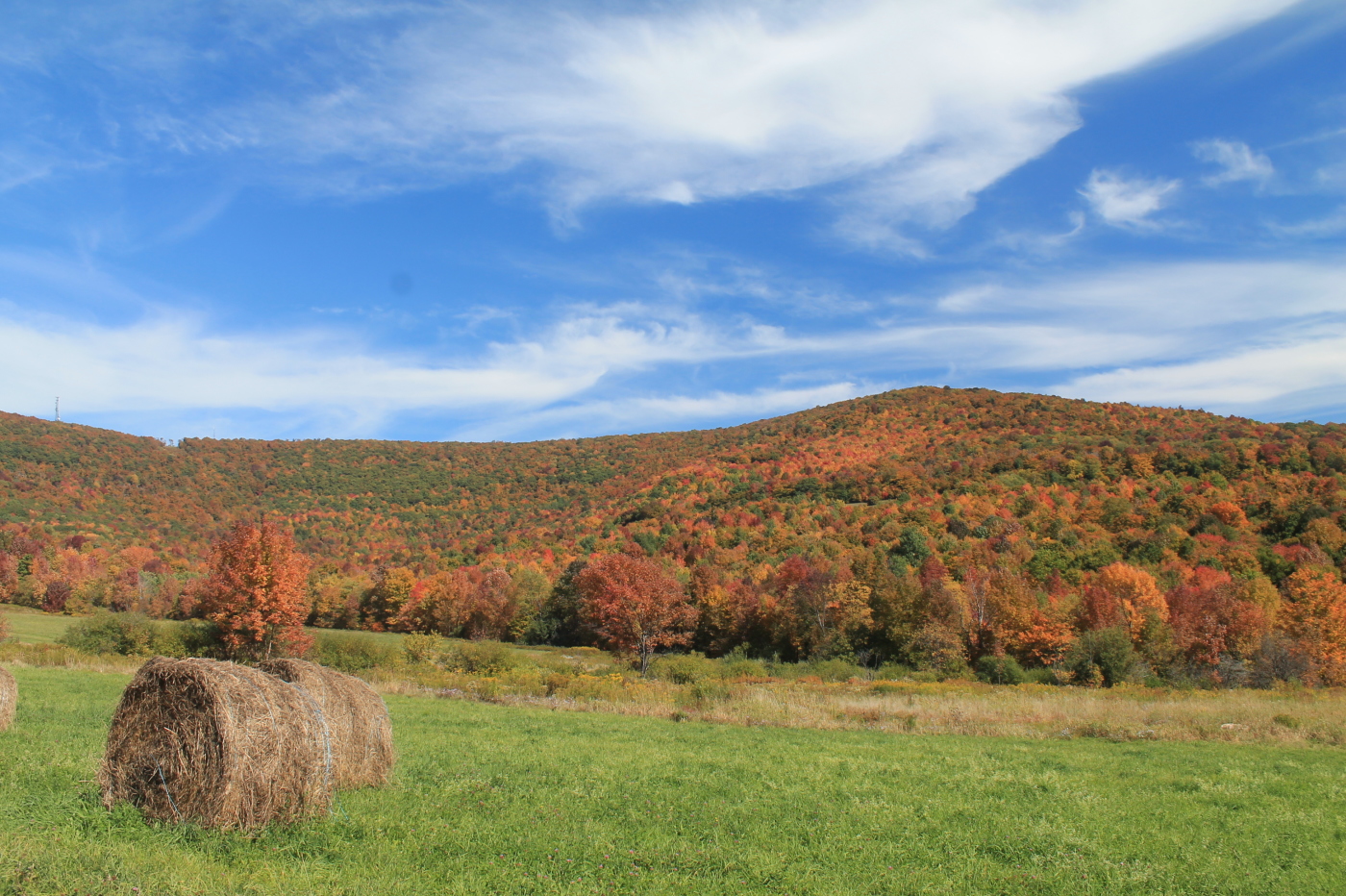
Related Photos:
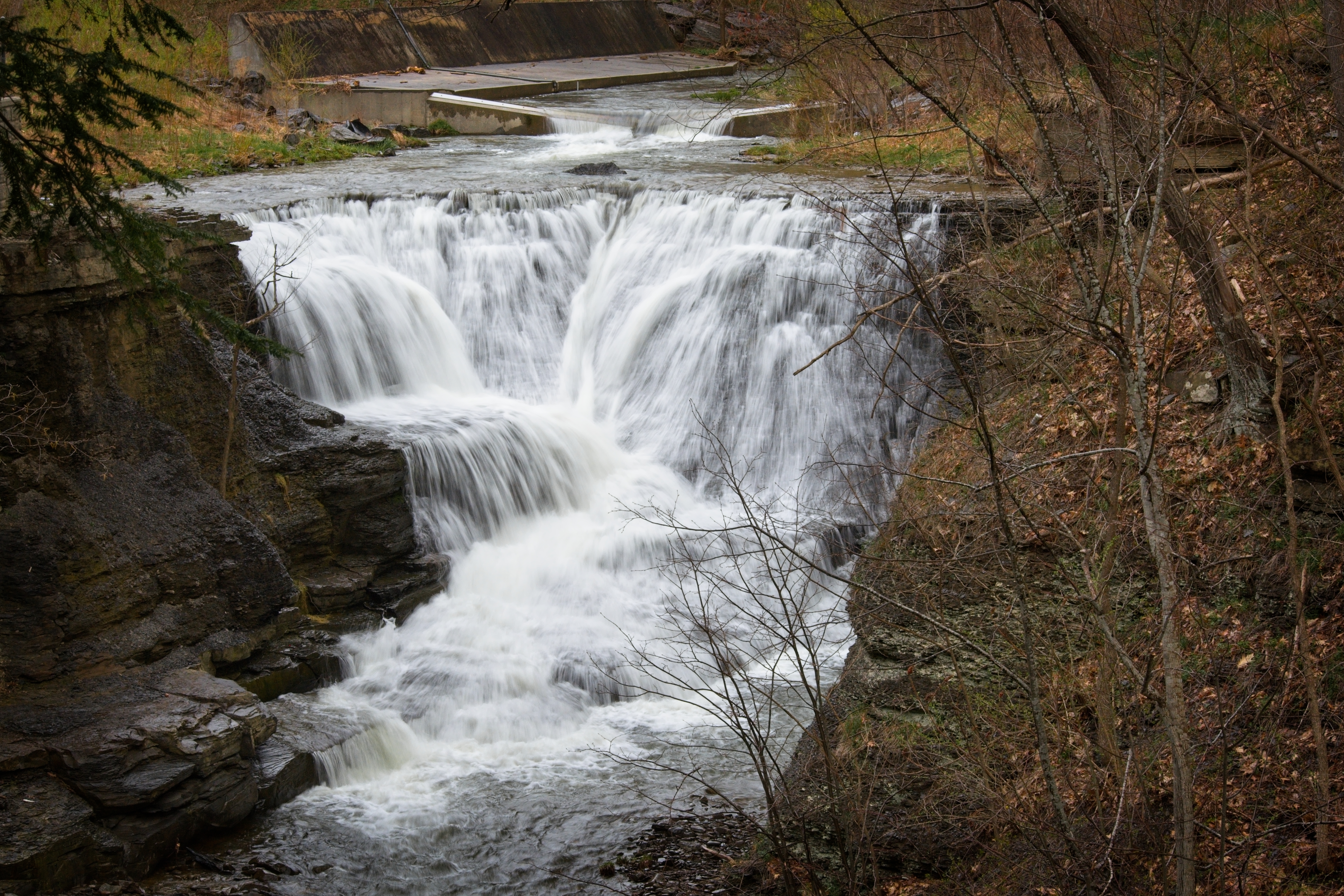
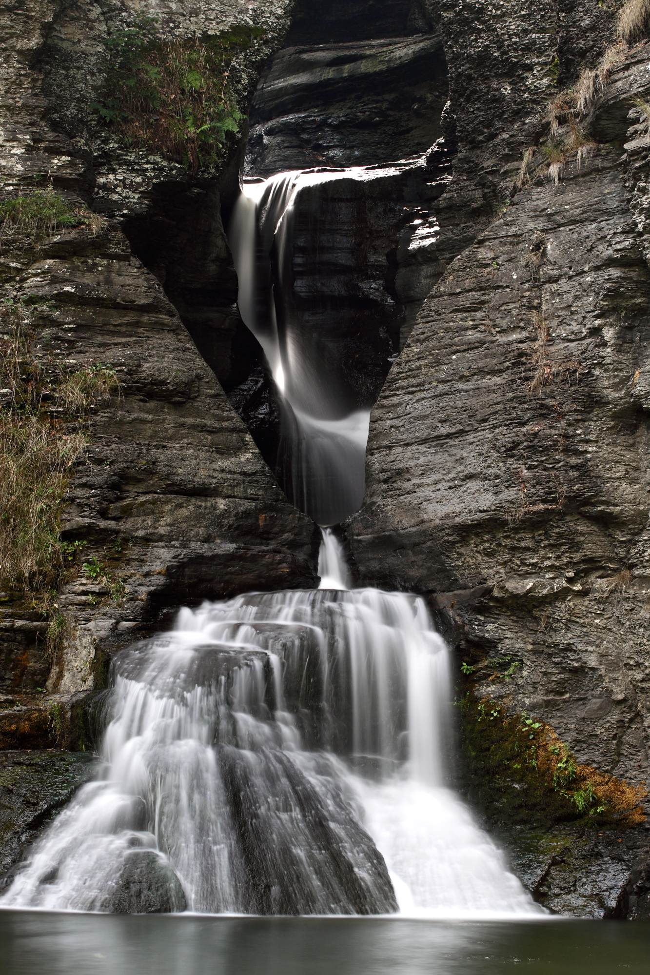
Minekill Falls

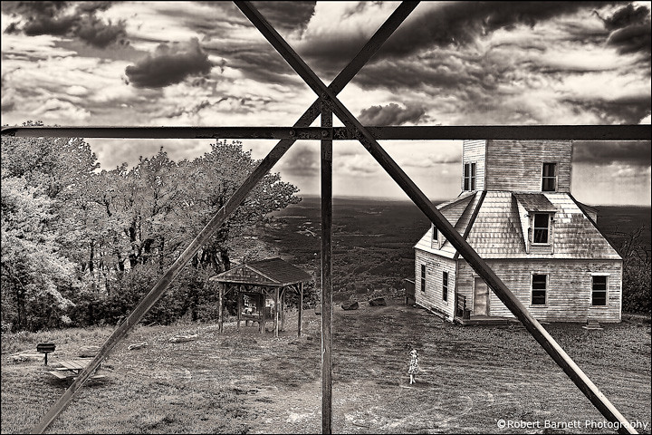
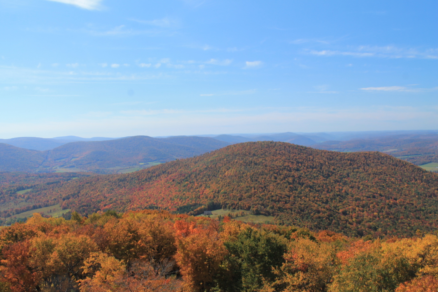
A View From Above
View From Burroughs Grave Site
The Other Side Of The Road

A Different Point Of View
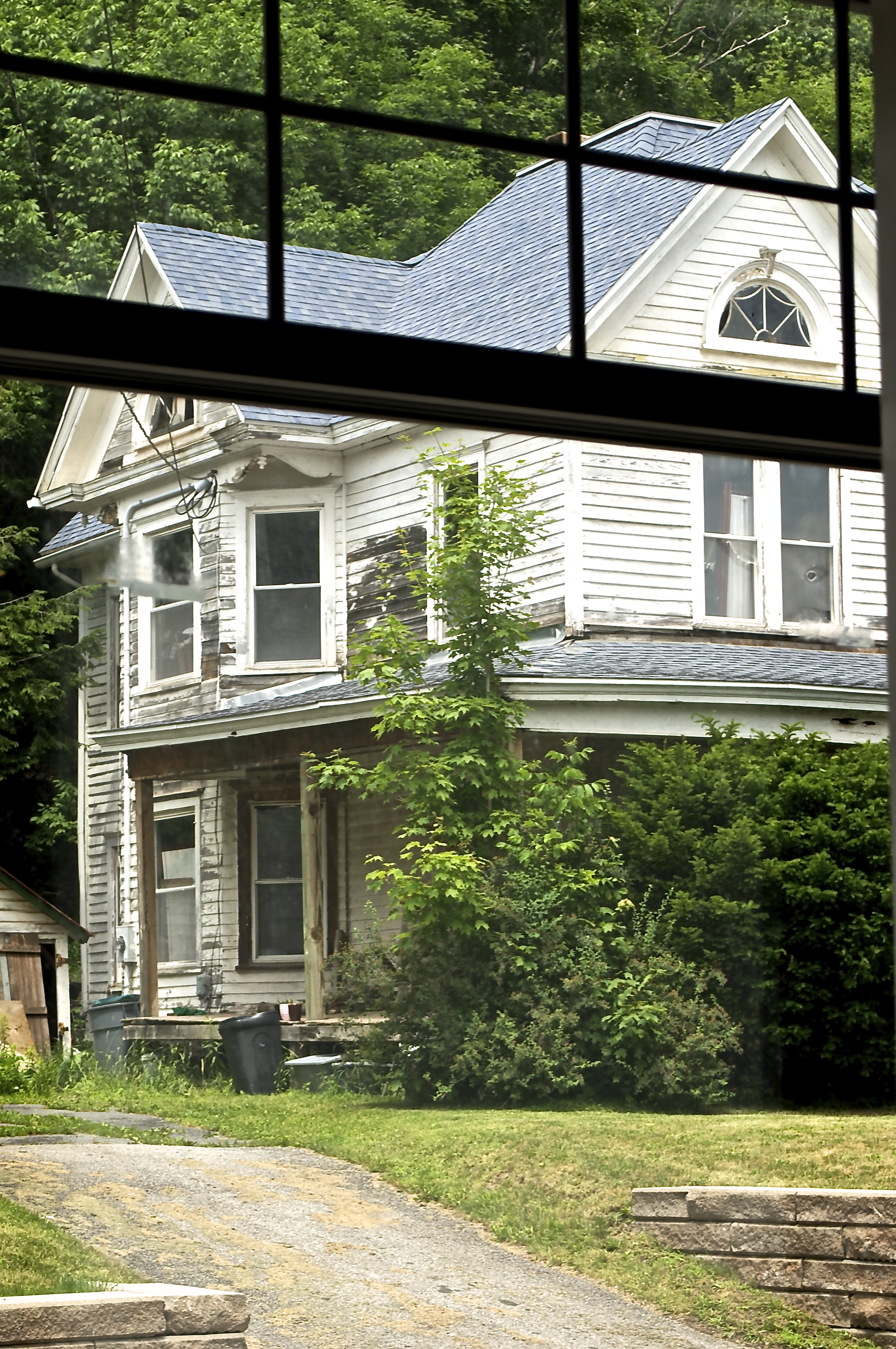
Big Yellow House
Another View Near Burroughs Grave

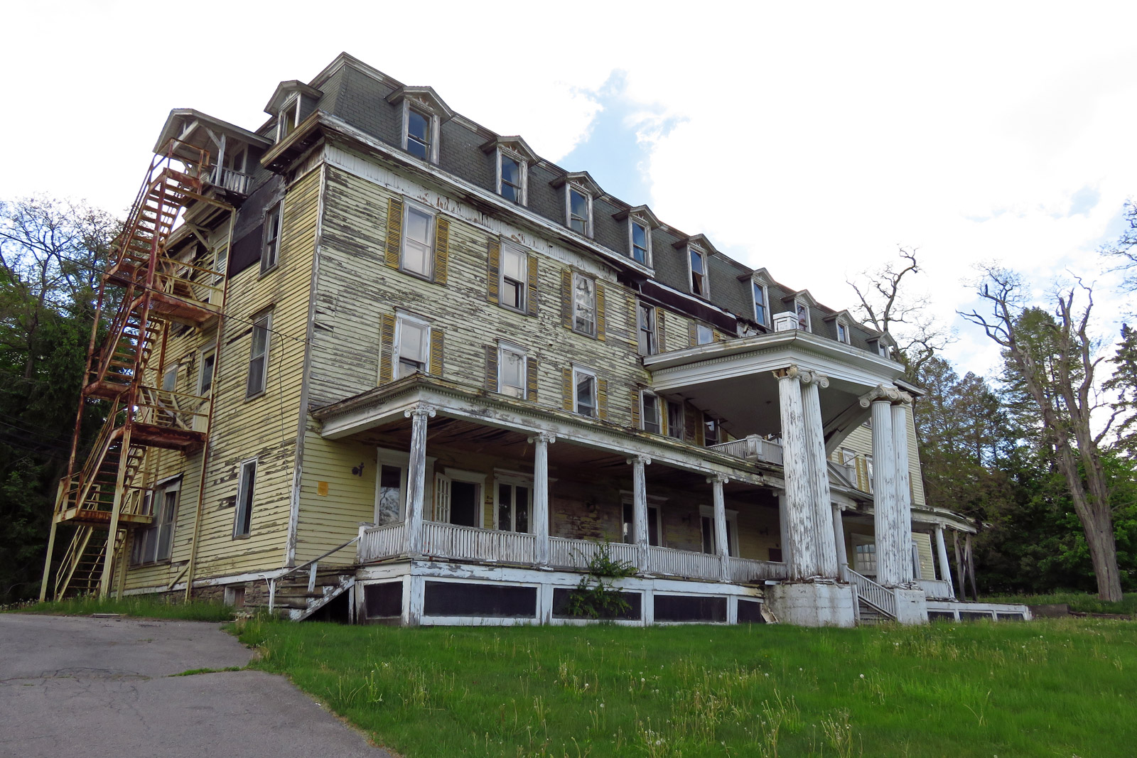
cst-hills
On Mount Utsayantha

Mine Kill State Park
Mount Utsayantha

Mine Kill State Park

Grand Gorge, NY 20031014 075 view from New York State Route 30

View of Gorge Walls

Grand Gorge, NY 20031014 076 view from New York State Route 30

Little Known View of Mine Kill Falls

Time for take off...
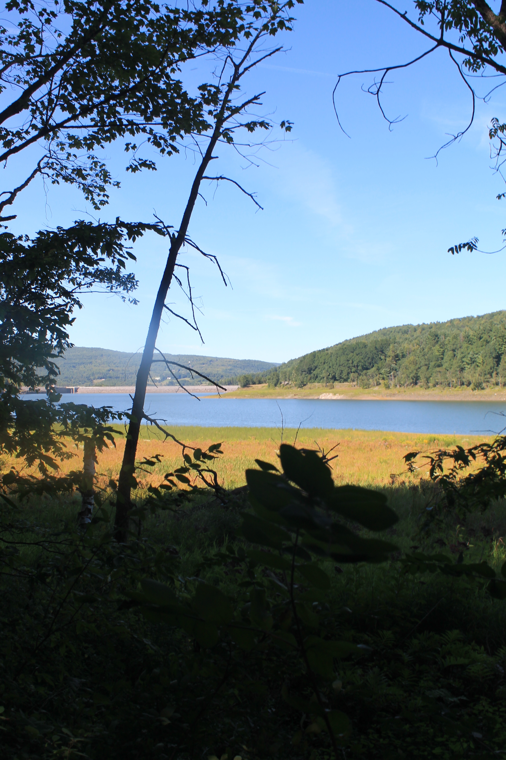
Reservior View
View Into Valley
Another View from the Clear Cut

View from Middle Landing
Mill Creek Falls

Gilboa, NY

Small Pond
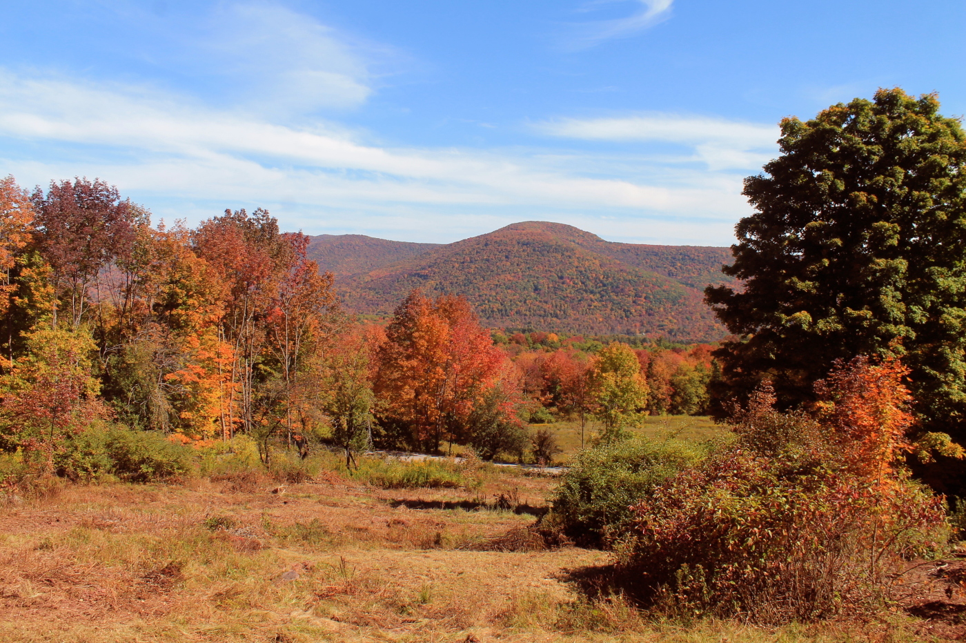
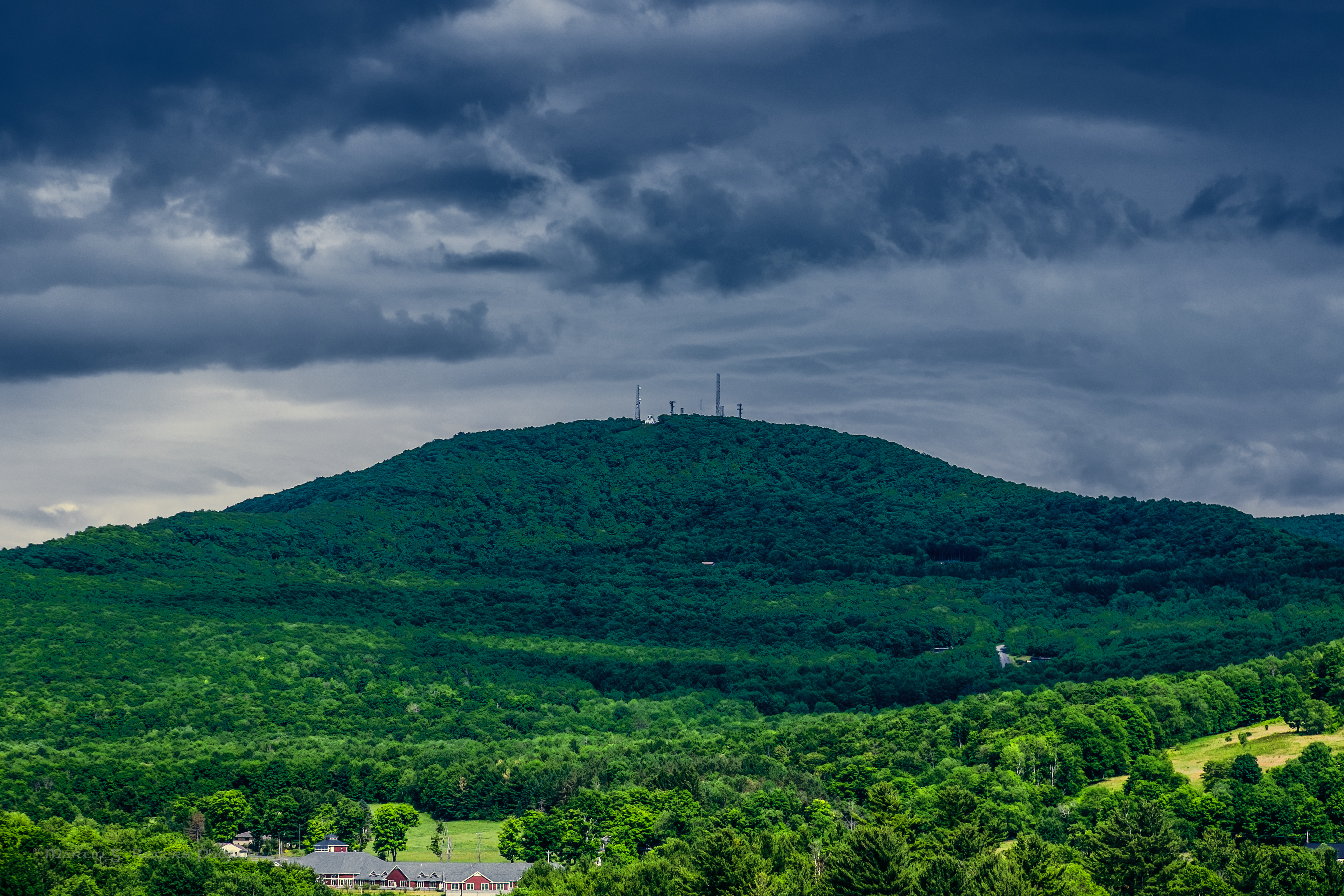
Moresville Range
Churchill Mountain and It's Col

Tower Mountain Road

Upper Waterfall
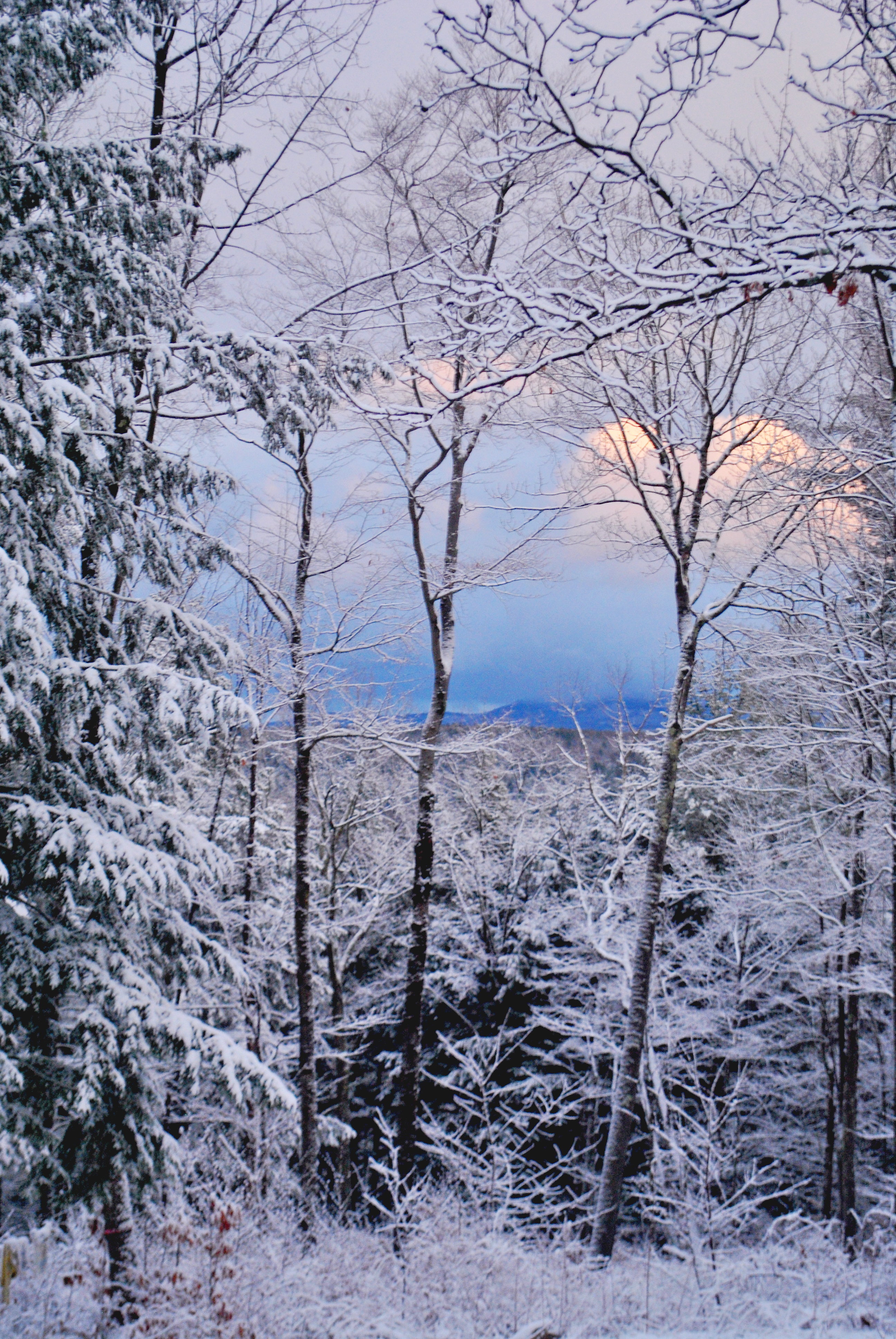
Through the trees

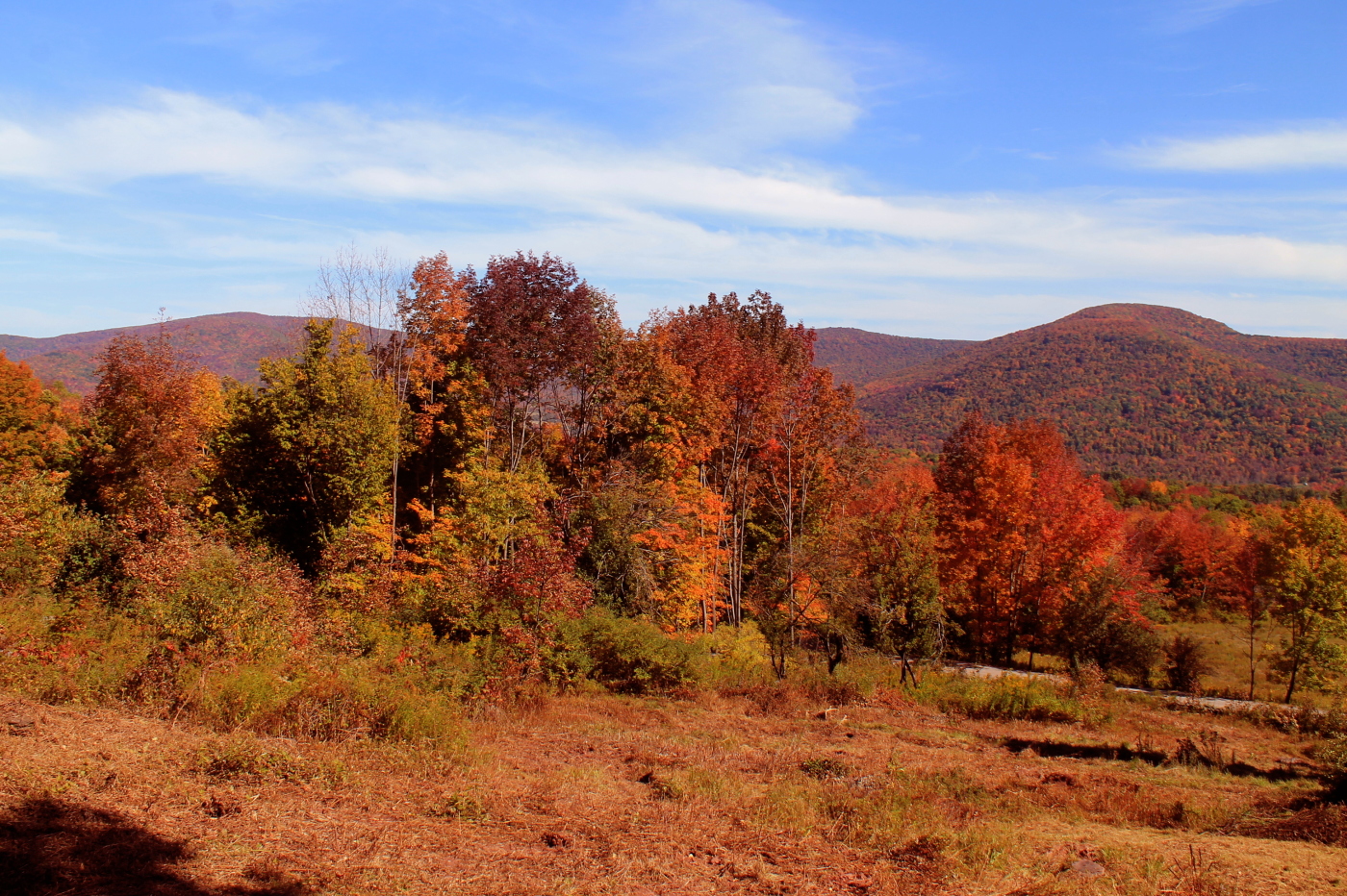
Some Color

Narrow Notch Road Across Township Valley

Gone Fishing

top o' the hill
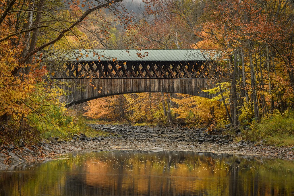
Blenheim Covered Bridge

IMAG0391.jpg
Minekill Bridge
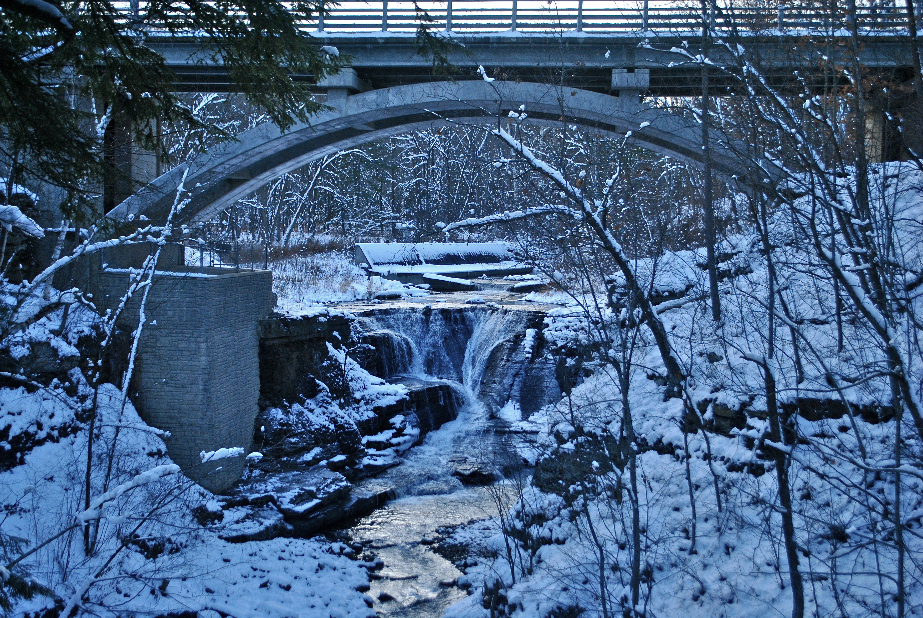
Mine Kill Falls
DSC_0080.JPG

Waterfall on Tributary of Panther Creek - #2
Topographic Map of Lawrence Mountain Rd, Stamford, NY, USA
Find elevation by address:

Places near Lawrence Mountain Rd, Stamford, NY, USA:
136 Lawrence Mountain Rd
136 Lawrence Mountain Rd
136 Lawrence Mountain Rd
664 Cape Horn Rd
371 Kemper Mountain Rd
371 Kemper Mountain Rd
887 Cape Horn Rd
Brookview Drive
Blackberry Street
466 Blackberry St
S Gilboa Rd, Stamford, NY, USA
Veley Road
2420 Tower Mountain Rd
11 Prospect St
Stamford
1563 Tower Mountain Rd
7 Academy St
3 Prospect
12 Roosevelt Ave
Jefferson
Recent Searches:
- Elevation of 12 Hutchinson Woods Dr, Fletcher, NC, USA
- Elevation of Holloway Ave, San Francisco, CA, USA
- Elevation of Norfolk, NY, USA
- Elevation of - San Marcos Pass Rd, Santa Barbara, CA, USA
- Elevation of th Pl SE, Issaquah, WA, USA
- Elevation of 82- D Rd, Captain Cook, HI, USA
- Elevation of Harlow CM20 2PR, UK
- Elevation of Shenyang Agricultural University, Dong Ling Lu, Shen He Qu, Shen Yang Shi, Liao Ning Sheng, China
- Elevation of Alpha Dr, Melbourne, FL, USA
- Elevation of Hiroshima University, 1-chōme-3-2 Kagamiyama, Higashihiroshima, Hiroshima -, Japan