Elevation of Middlebrook Hill Rd, Jefferson, NY, USA
Location: United States > New York > Delaware County >
Longitude: -74.691751
Latitude: 42.472216
Elevation: 487m / 1598feet
Barometric Pressure: 96KPa
Elevation Map:
Satellite Map:
Related Photos:

cst-hills
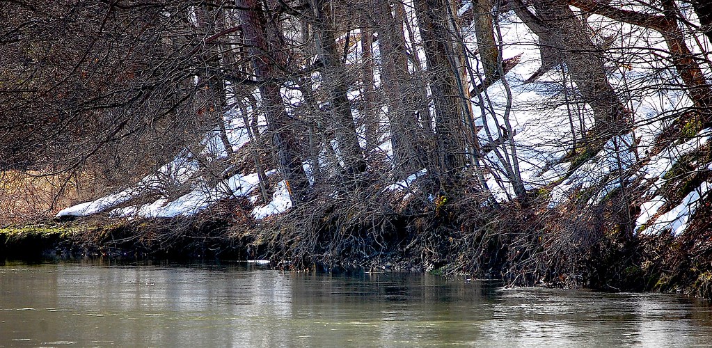
Schenevus Creek
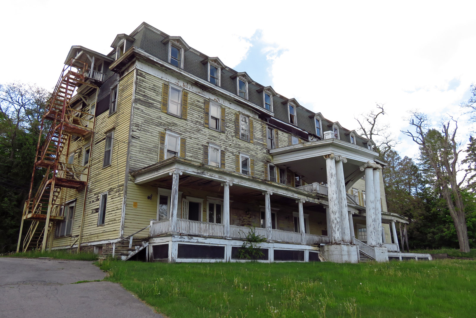
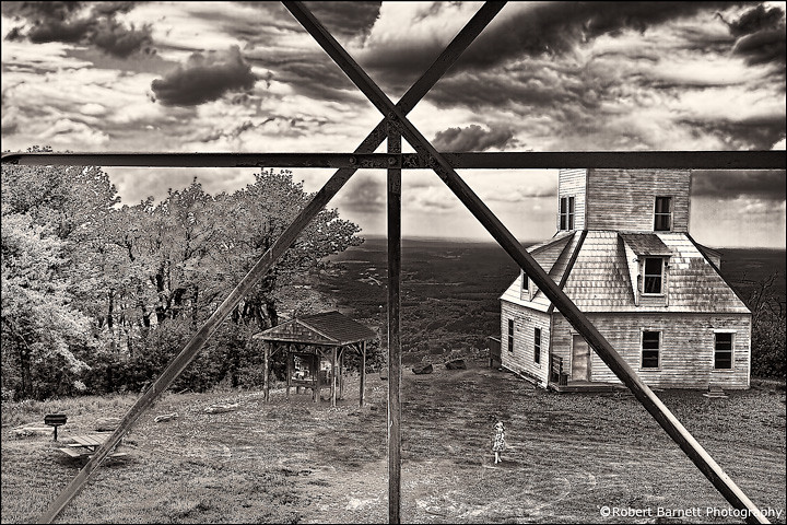
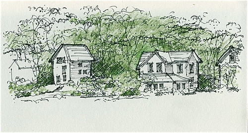
Big Yellow House
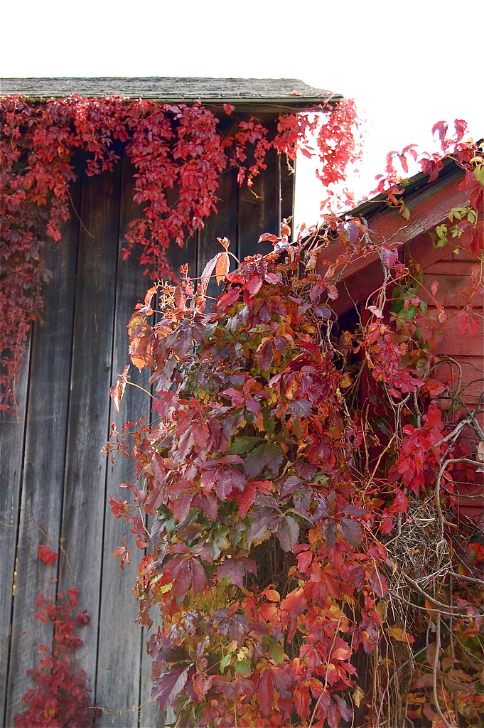
architectural foliage
view to the north. . . . .

Warner 10
On Mount Utsayantha
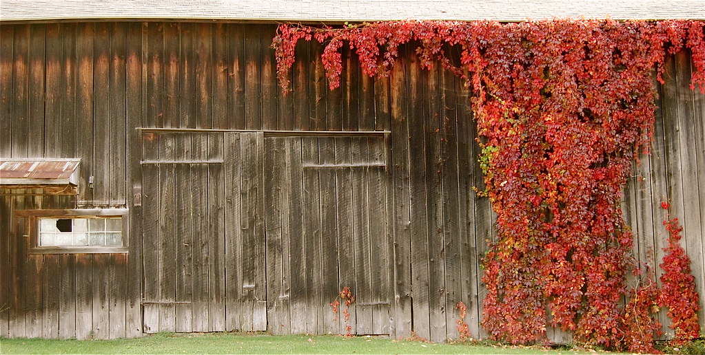
autumn barn
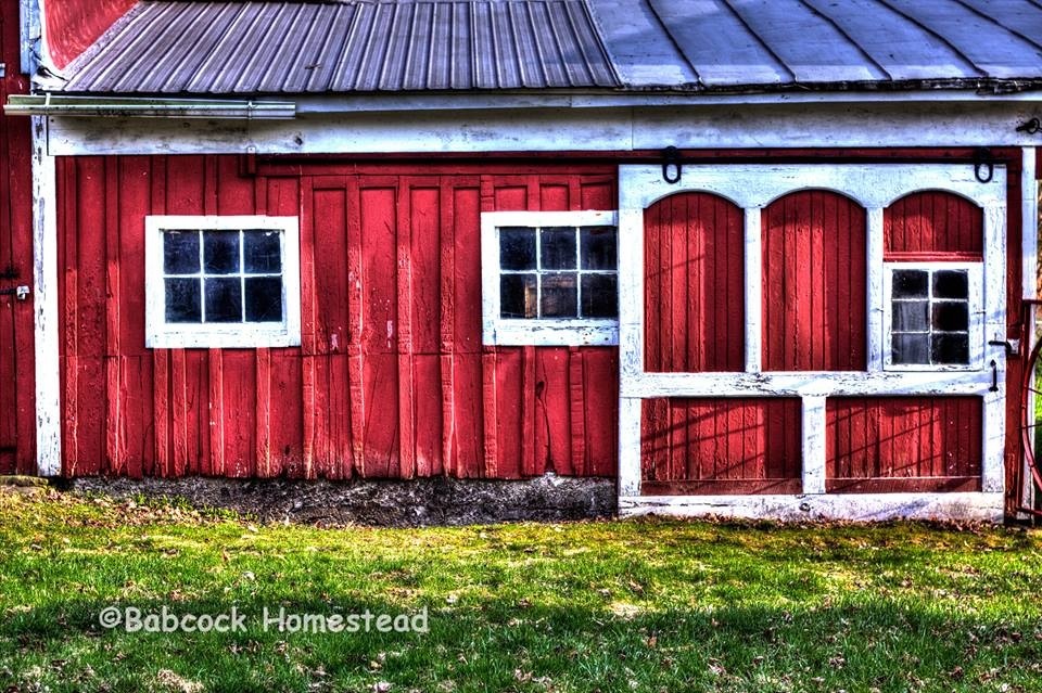
Babcock Homestead Barn - Built 1883
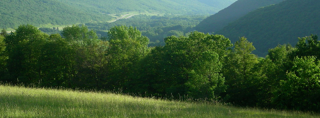
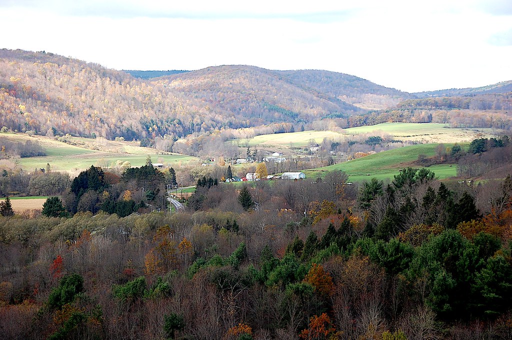
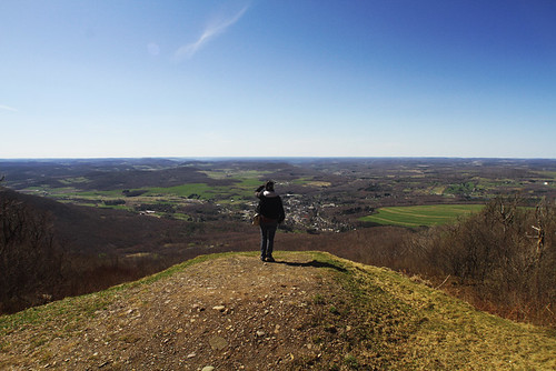
view from south hill
view from the park
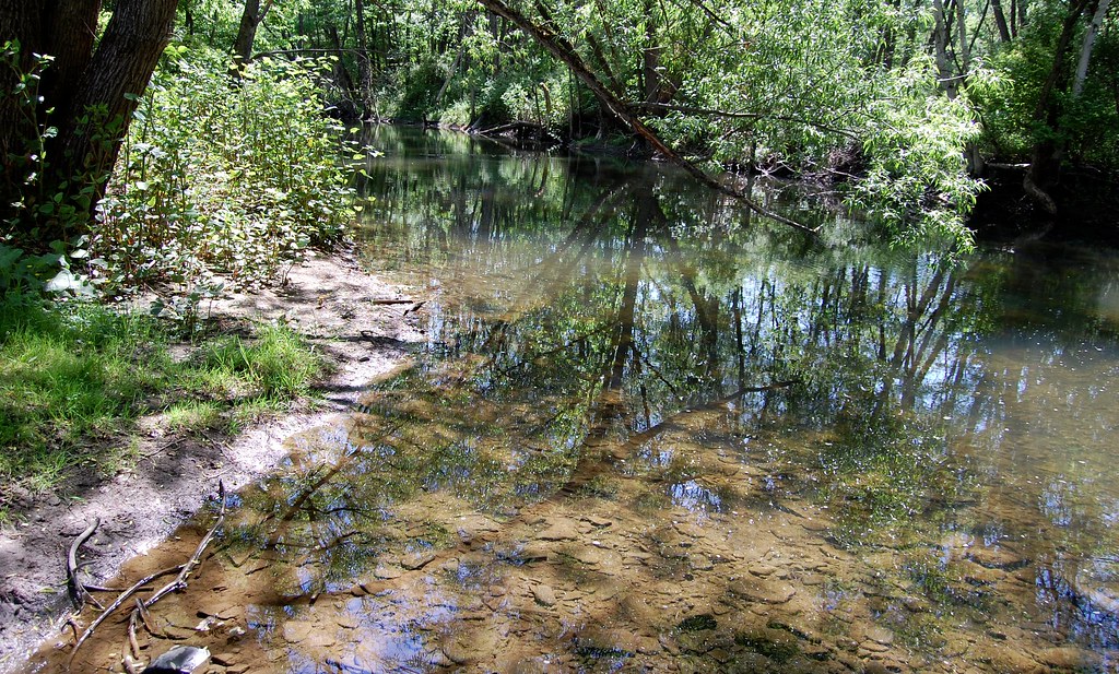
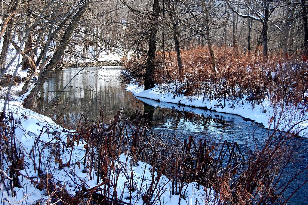
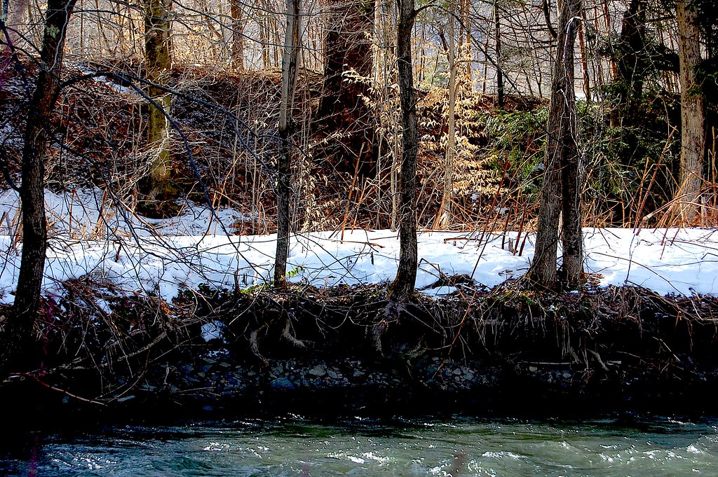
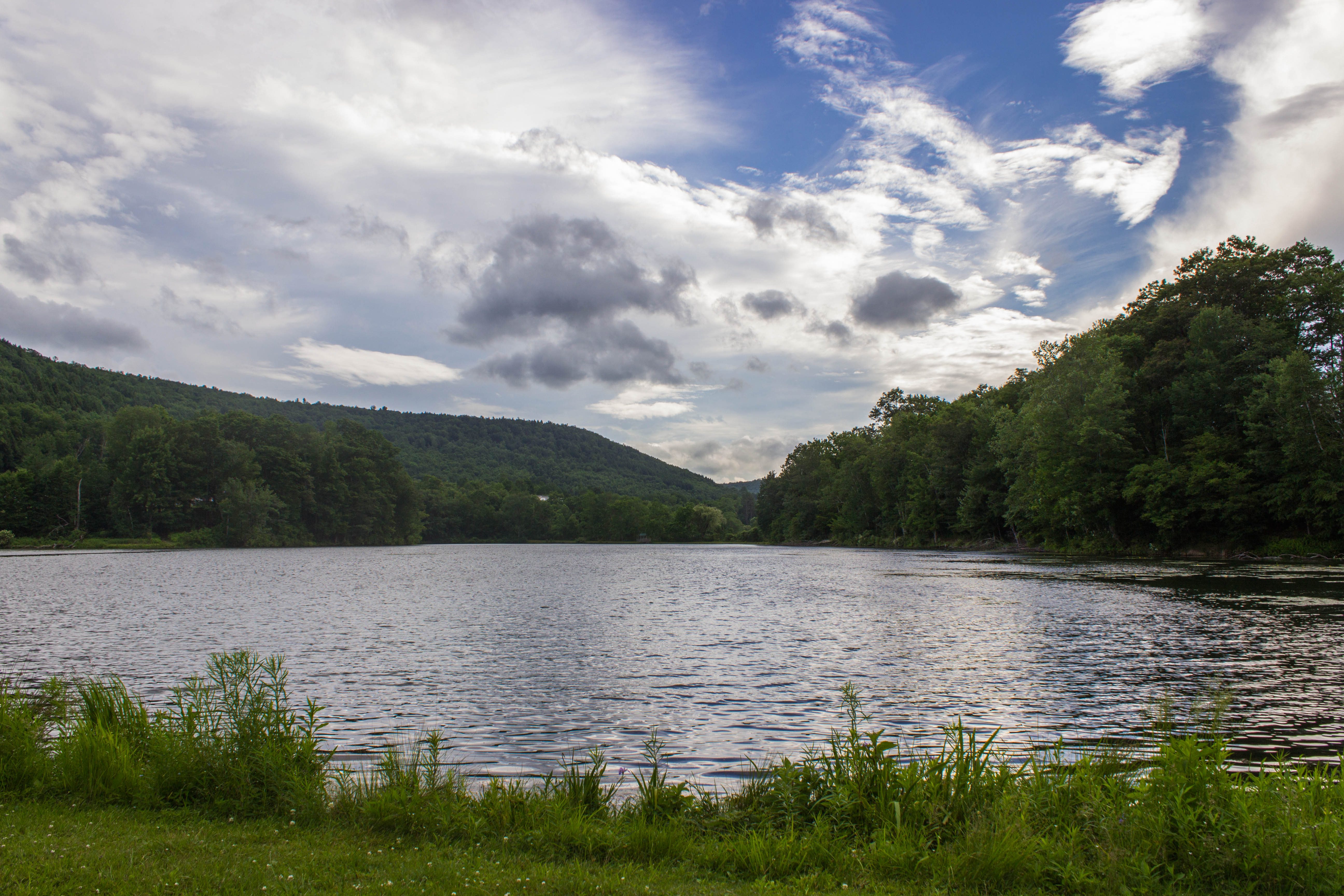
Schenevus Creek
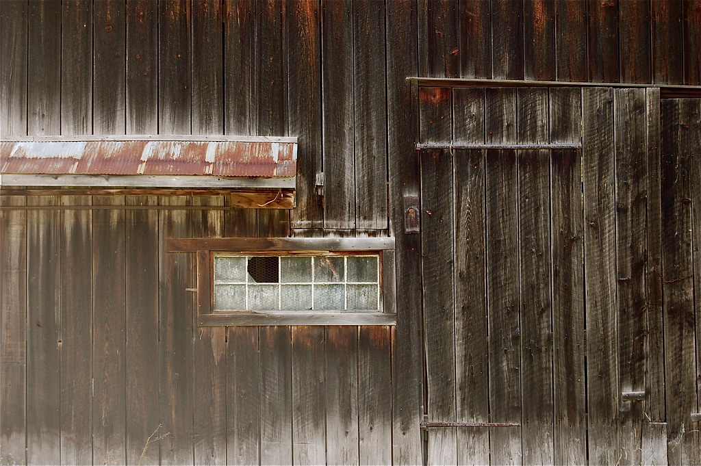
barn detail
along the creek. . . .

Time for take off...
It's up there...

View from Middle Landing
April 10 (100/365)
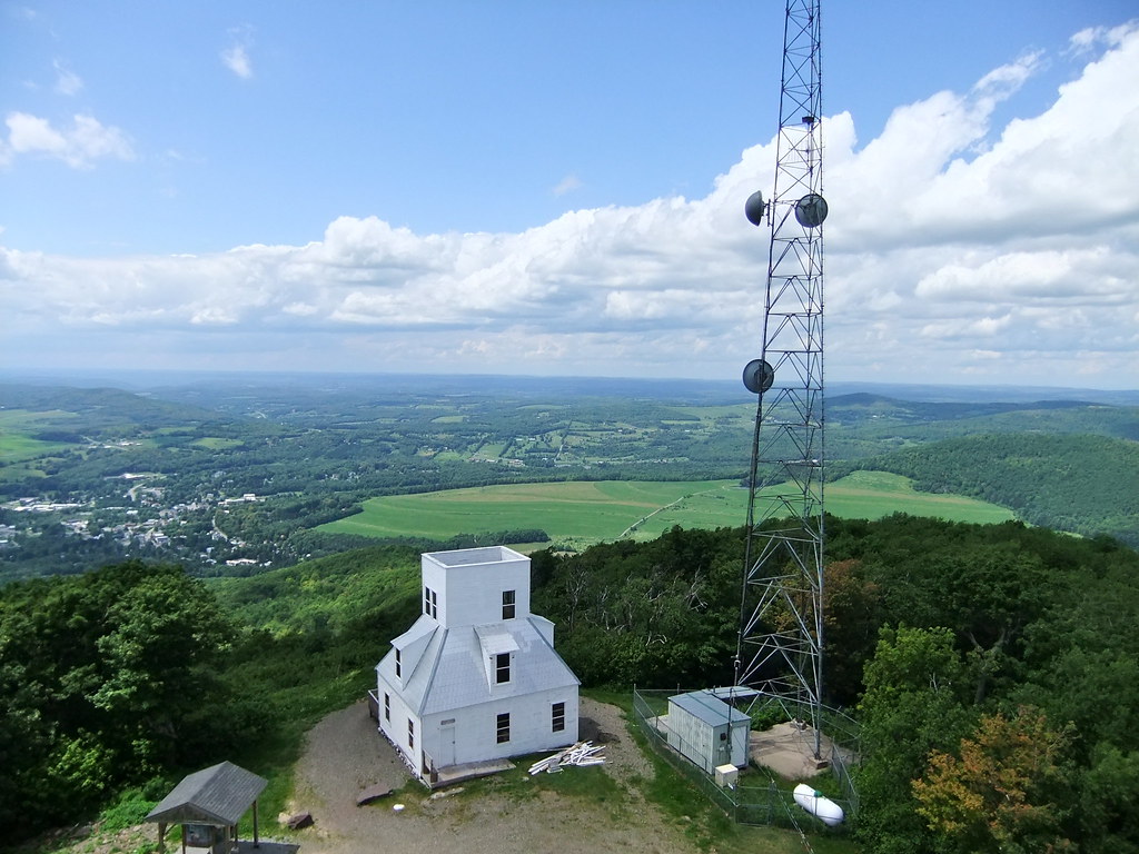
Mount Utsayantha
Madalyn's Place

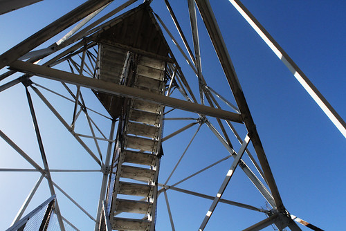
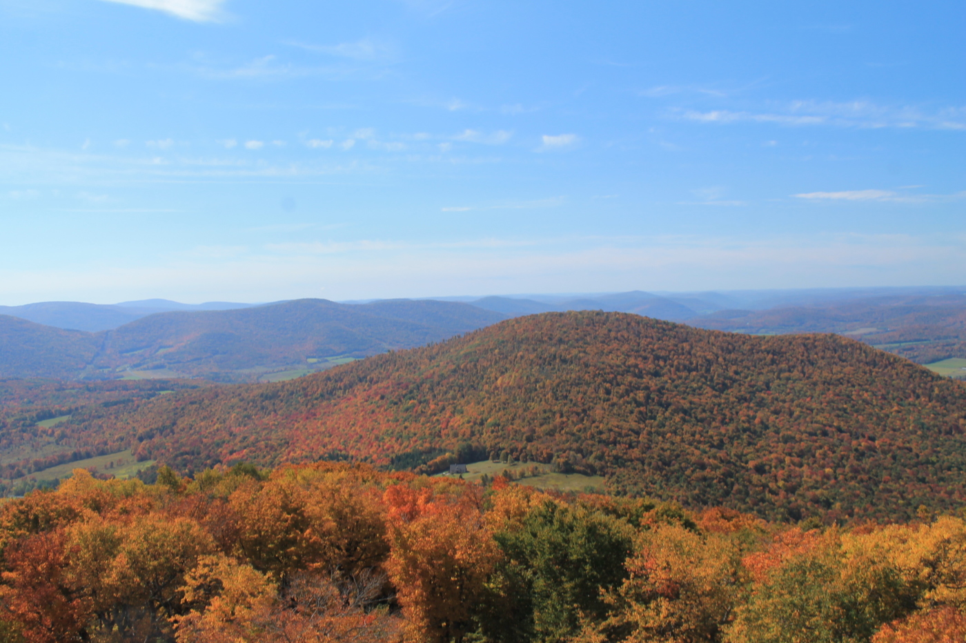
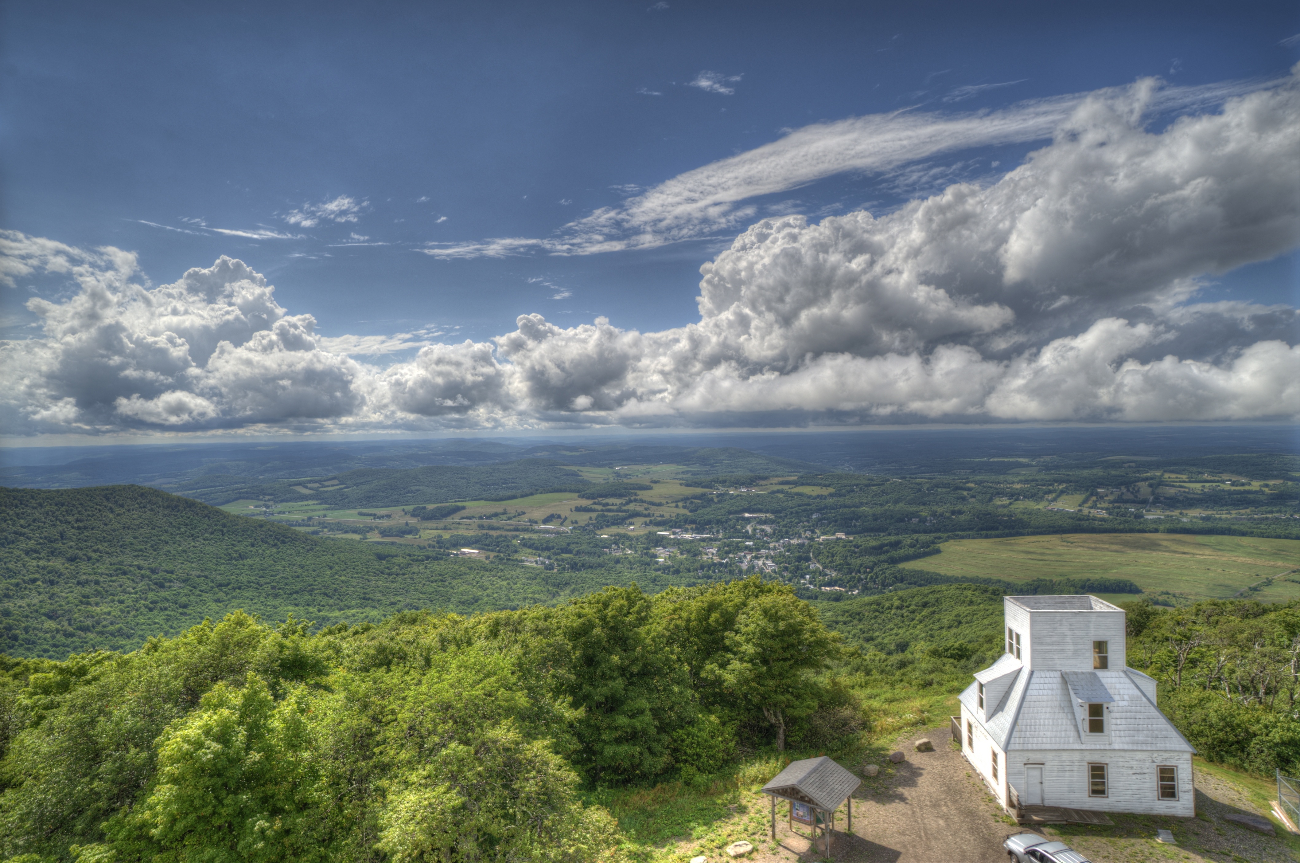
View from fire tower
Moresville Range
Churchill Mountain and It's Col

Tower Mountain Road
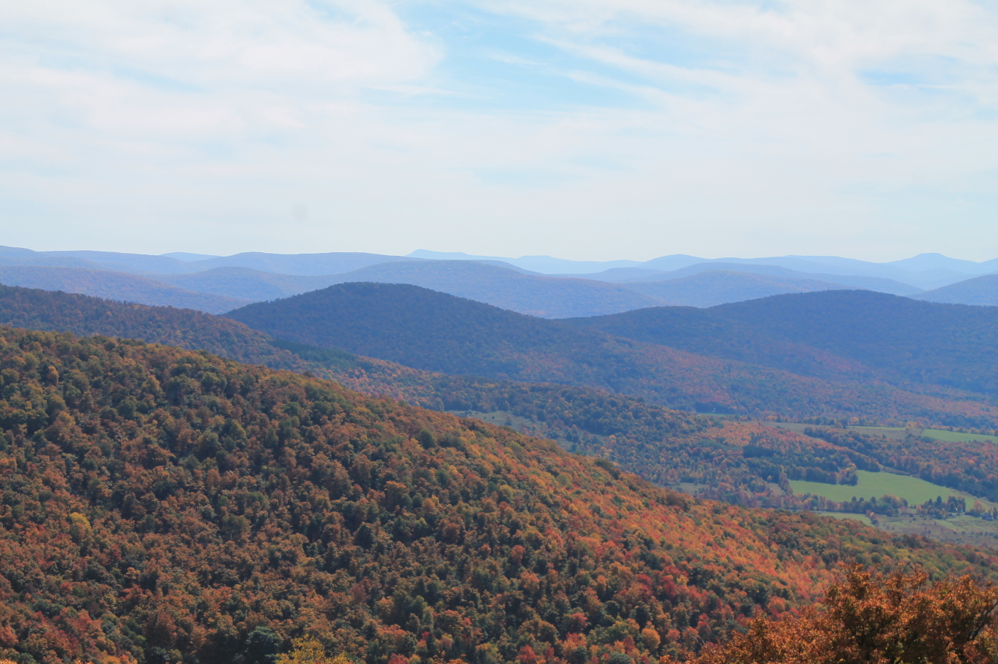
Catskill Mountains from the Firetower

Narrow Notch Road Across Township Valley
along Schenevus Creek. . . .
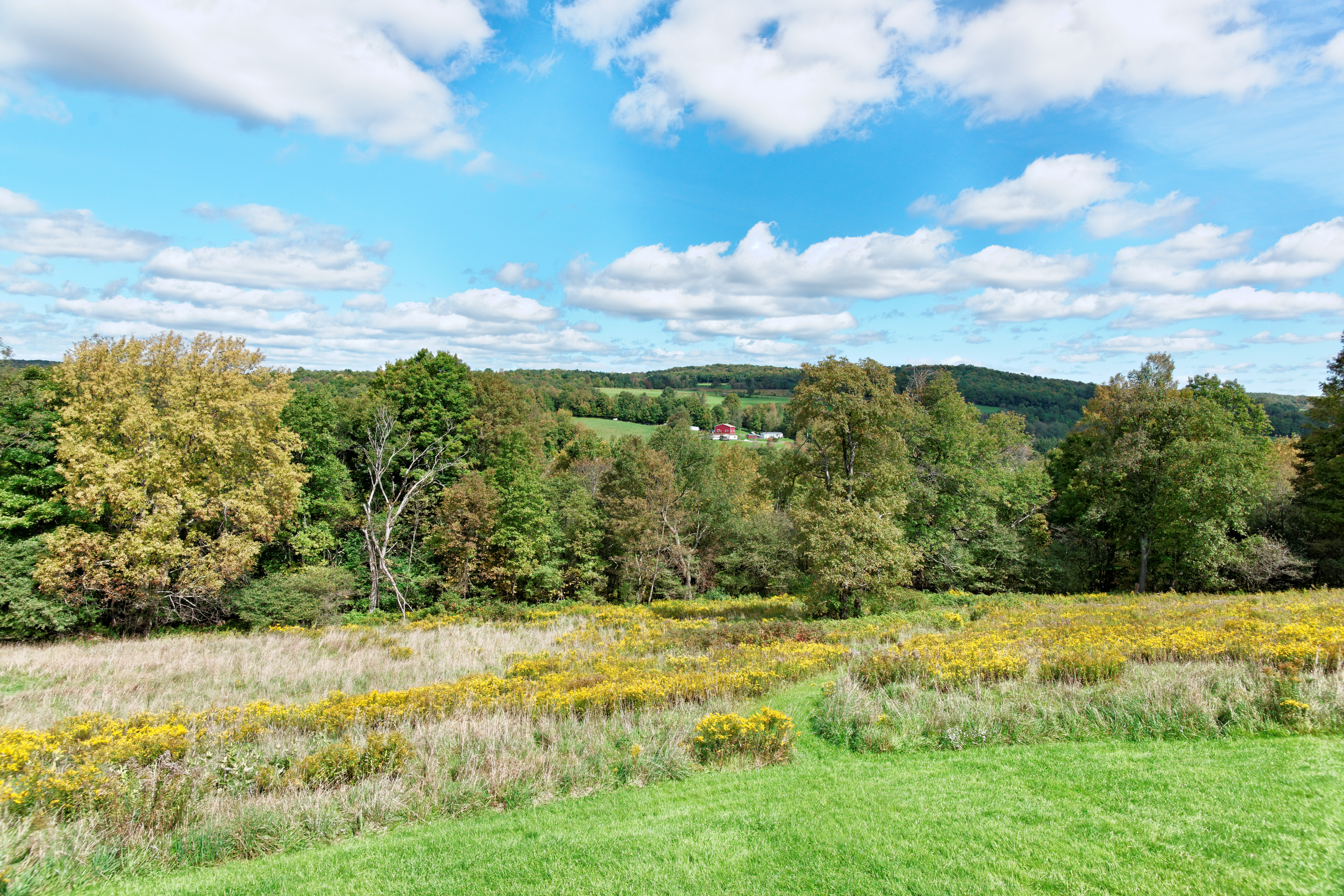
October afternoon. . . . .
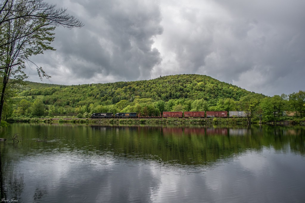
NS 930 at Schenevus
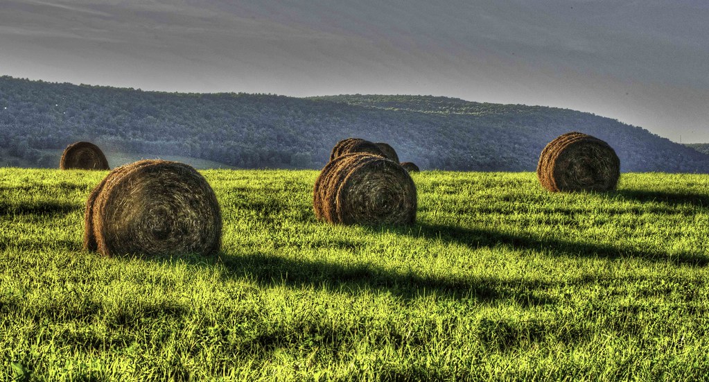
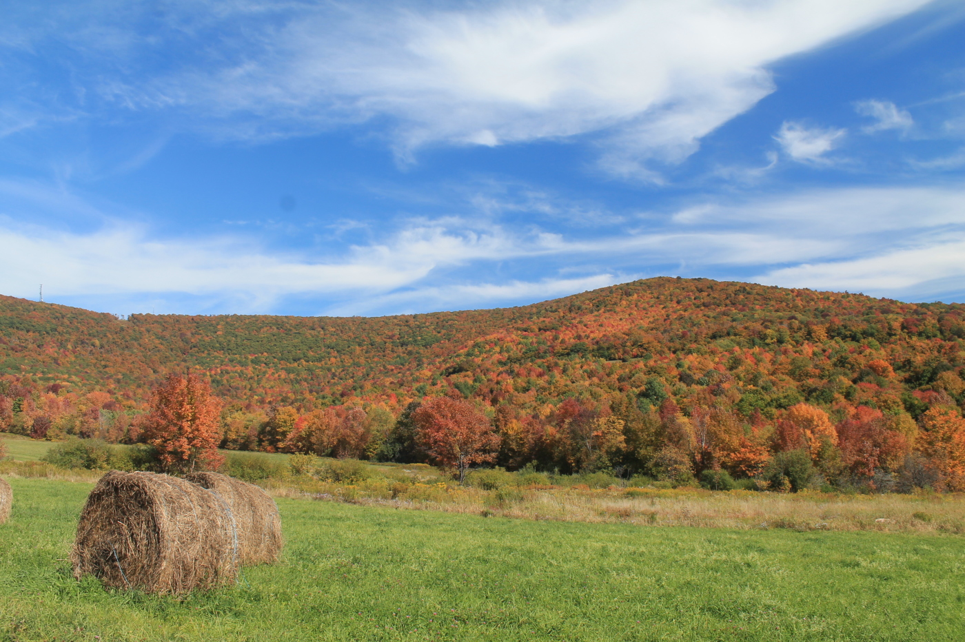
Hay Bales
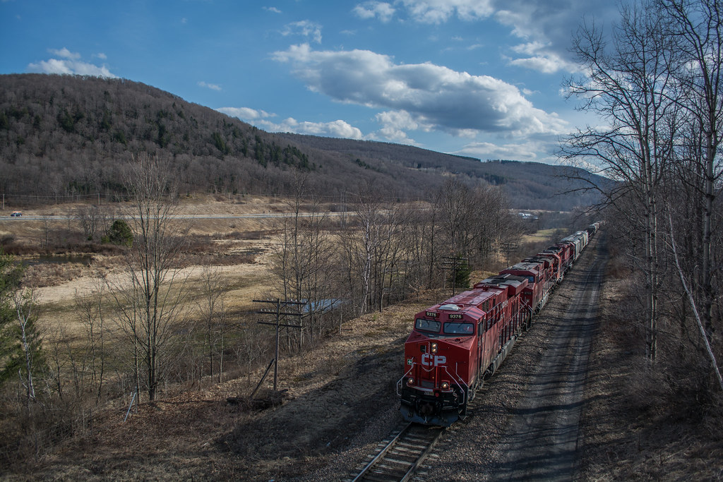
253 at CPF528
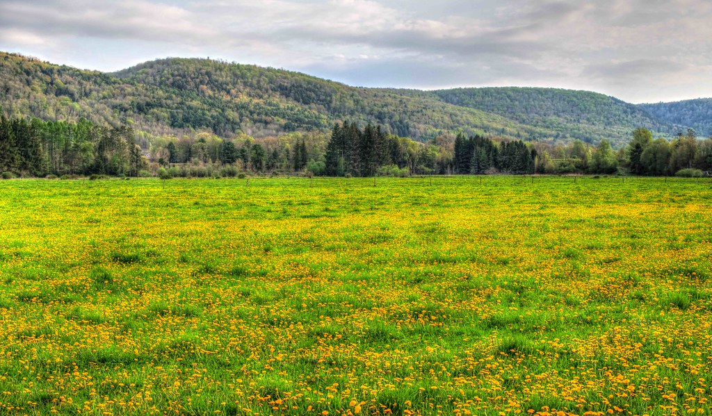
Golden Carpet
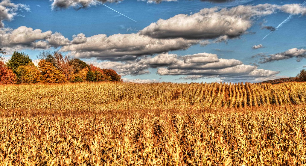
Cornfield 2

day at Jeff's camp

Red Giant
115-2.jpg
One of my older ones
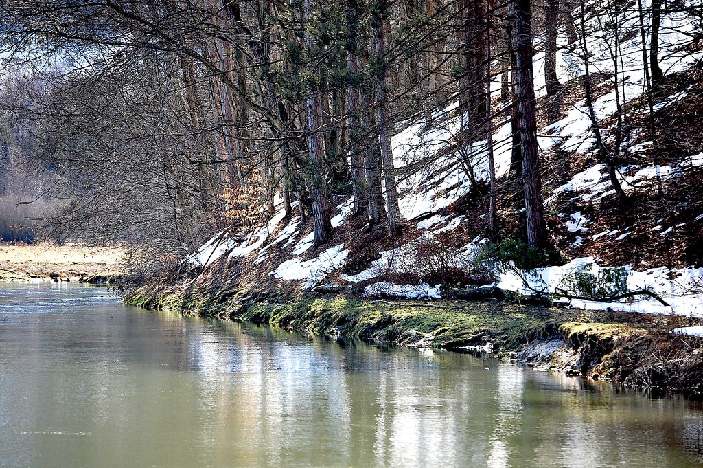
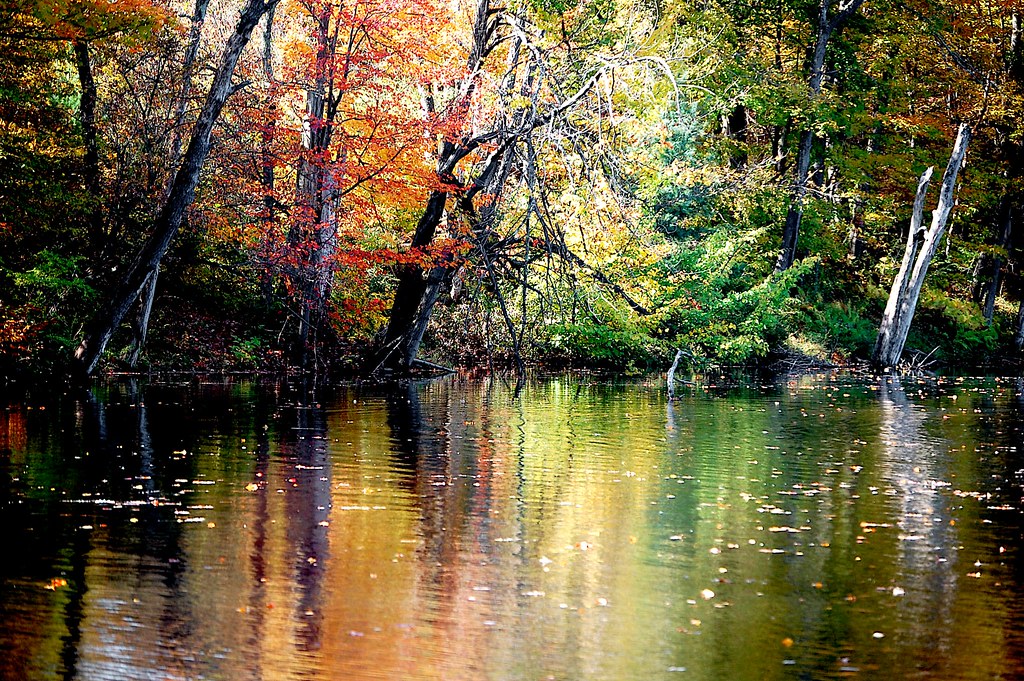
Schenevus Creek. . . . .
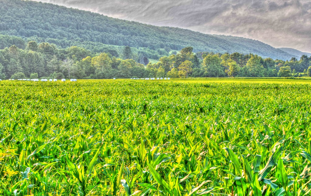
Schenevus cornfield
Mt Utsayantha
DSC01809_DxO.jpg
Topographic Map of Middlebrook Hill Rd, Jefferson, NY, USA
Find elevation by address:

Places near Middlebrook Hill Rd, Jefferson, NY, USA:
4591 Co Rd 29
Harpersfield
1166 Middlebrook Hill Rd
Harpersfield
New York 23
NY-23, Davenport, NY, USA
581 Odell Lake Rd
356 Moxley St
214 Sunrise Sunset Dr
Co Rd 29, Davenport, NY, USA
2481 Quaker Hill Rd
107 Tree Stand Ln
County Hwy 40, Worcester, NY, USA
Veley Road
Jefferson
Jefferson, NY, USA
106 Park Ave
480 Meade Rd
1450 Ny-10
Jefferson
Recent Searches:
- Elevation of Royal Ontario Museum, Queens Park, Toronto, ON M5S 2C6, Canada
- Elevation of Groblershoop, South Africa
- Elevation of Power Generation Enterprises | Industrial Diesel Generators, Oak Ave, Canyon Country, CA, USA
- Elevation of Chesaw Rd, Oroville, WA, USA
- Elevation of N, Mt Pleasant, UT, USA
- Elevation of 6 Rue Jules Ferry, Beausoleil, France
- Elevation of Sattva Horizon, 4JC6+G9P, Vinayak Nagar, Kattigenahalli, Bengaluru, Karnataka, India
- Elevation of Great Brook Sports, Gold Star Hwy, Groton, CT, USA
- Elevation of 10 Mountain Laurels Dr, Nashua, NH, USA
- Elevation of 16 Gilboa Ln, Nashua, NH, USA