Elevation of Tranquil CRK, Placerville, CA, USA
Location: United States > California > El Dorado County > Placerville >
Longitude: -120.79105
Latitude: 38.721526
Elevation: 601m / 1972feet
Barometric Pressure: 94KPa
Elevation Map:
Satellite Map:
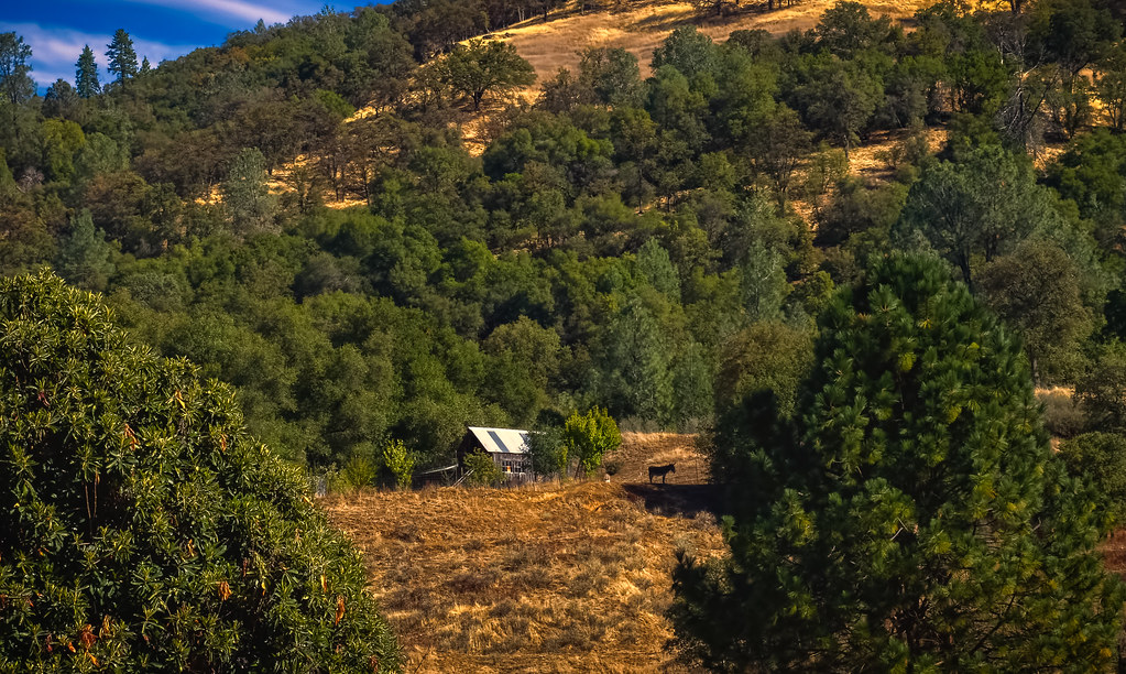
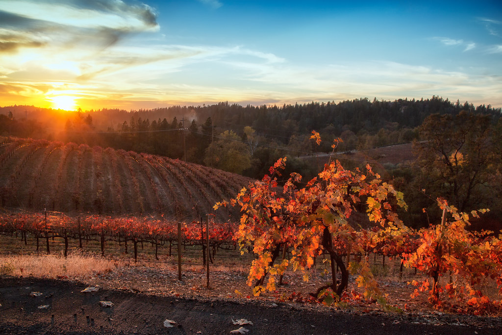
Related Photos:

Boeger Winery sunset view
Sunset Vineyard

Apple Hill in the Rear View Mirror
Oct-11-Apple Hill-4ps
Day 945: ElDorado_9950d
RV Camping..
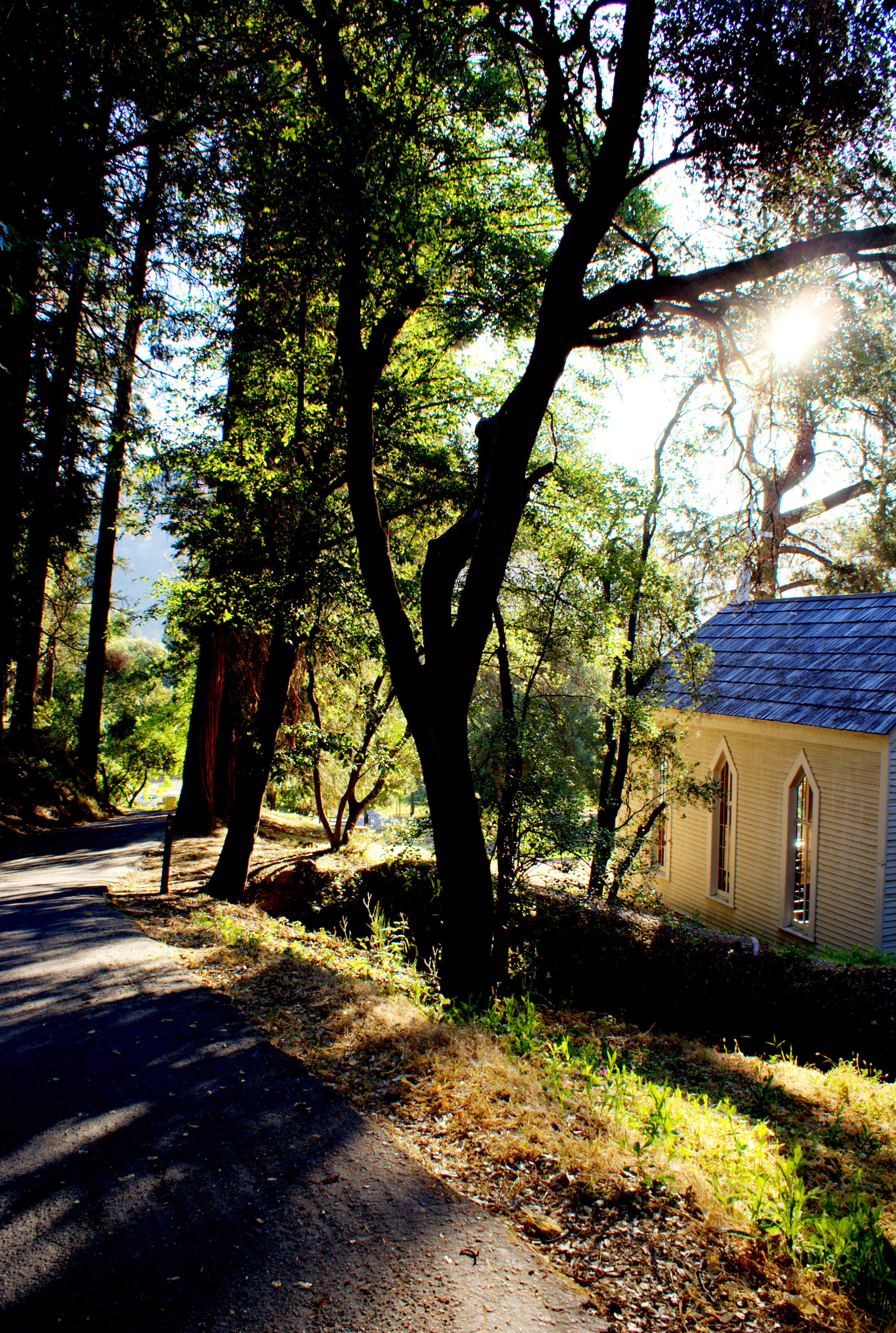
Morning Services

Early Morning
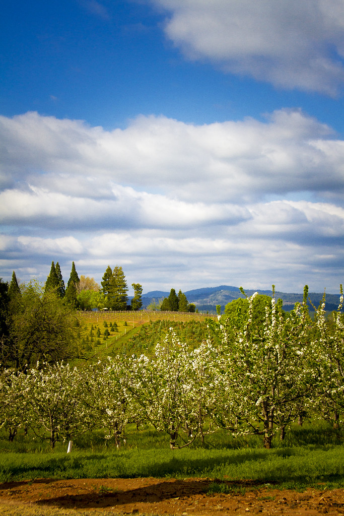
Pear Blossom spring
This place is a Thomas Kincaid Disney wedging cake vineyard with music coming out of rocks and plastic flowers galore with awesome views and vineyard
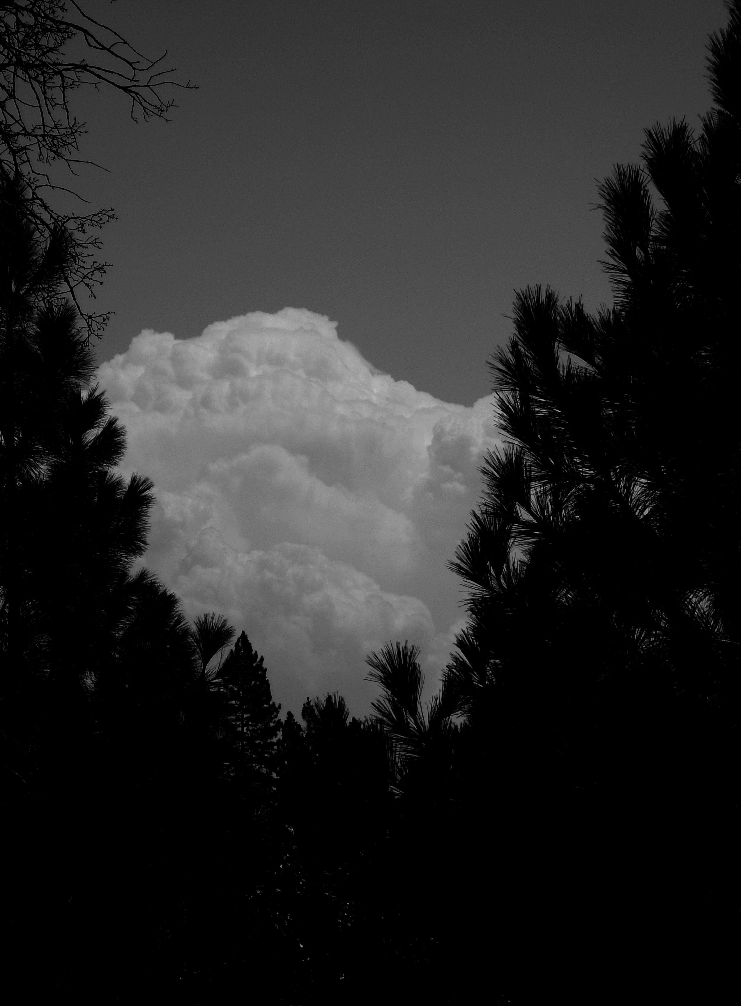
Dark Thunderclouds

Thunderclouds Over the Crest
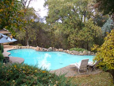
pool view

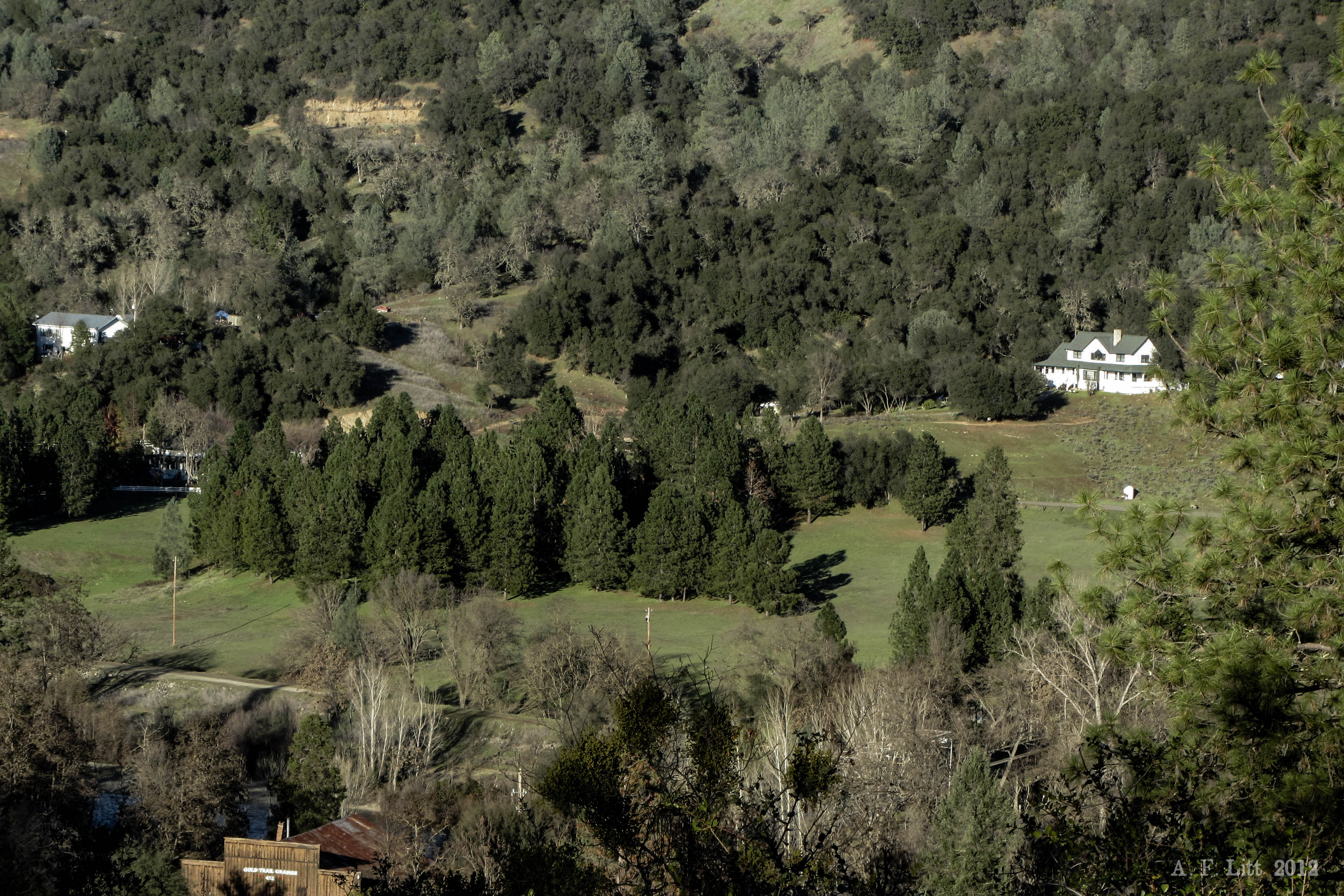
Diamond Springs Hills
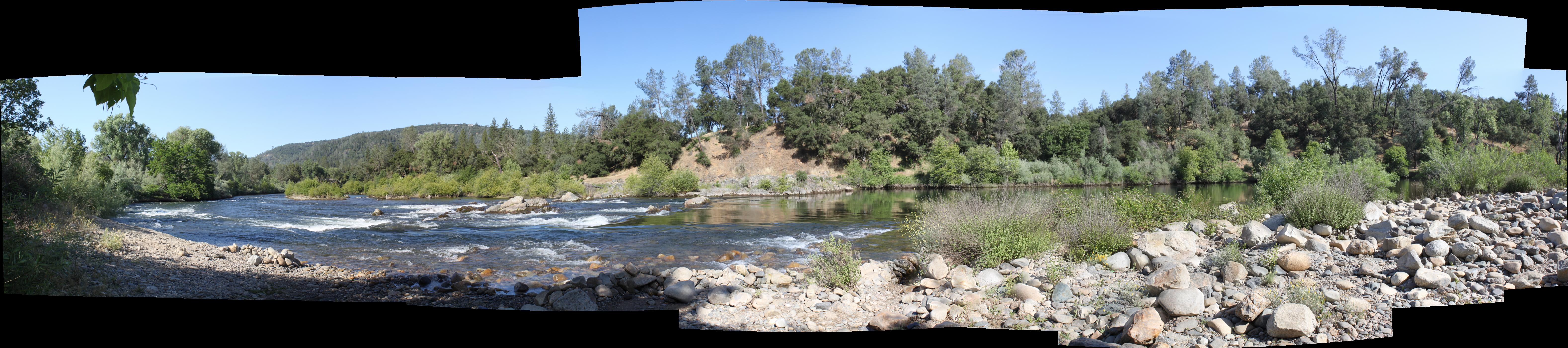
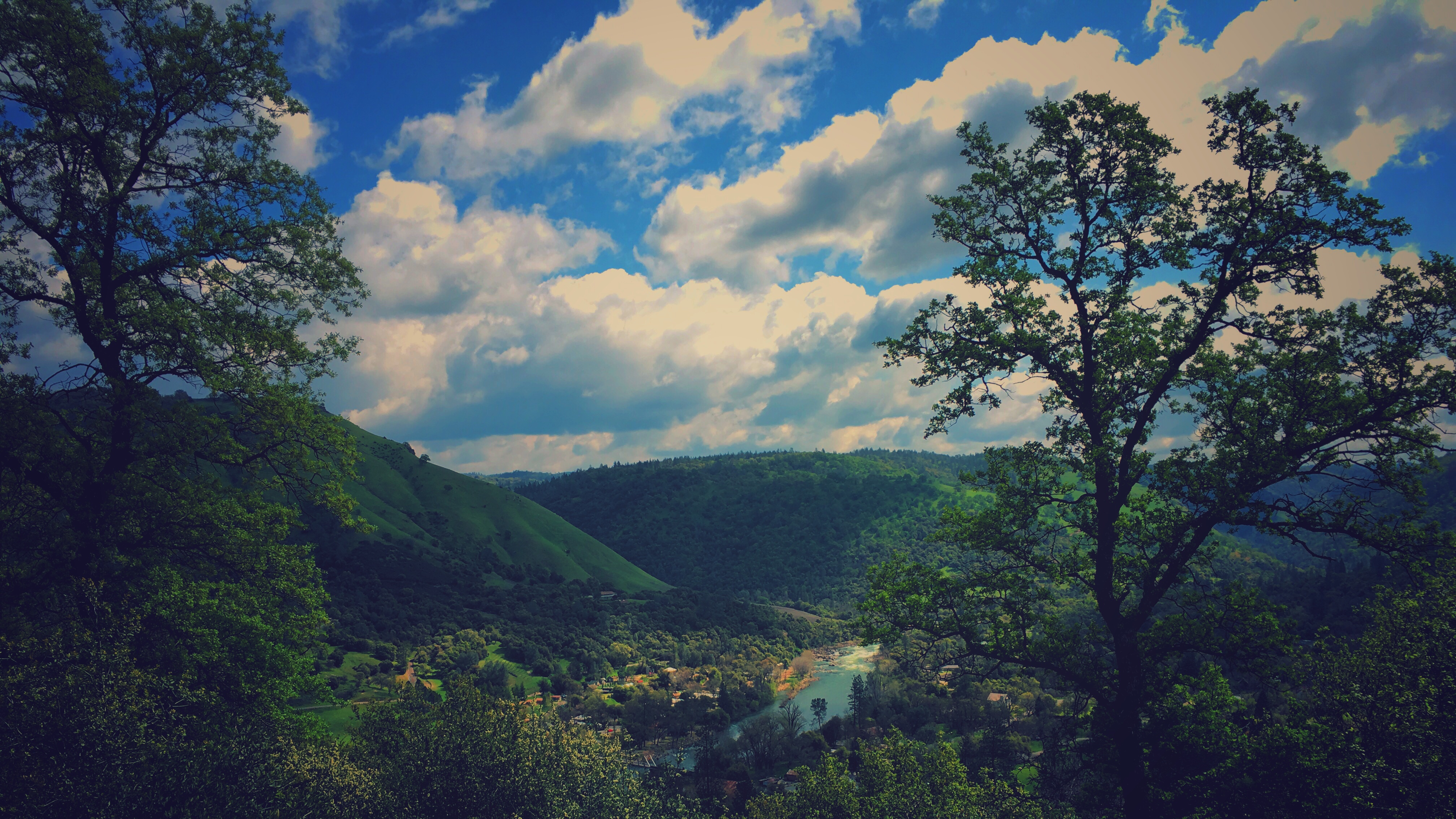
South Fork Panorama
View from James Marshal Monument. Marshal Gold Discovery State Historic Park. Coloma, California. December 20, 2012.

Oct-11-Apple Hill-7ps

sunset last night
Oct-11-Apple Hill-2ps

Road to the Clouds
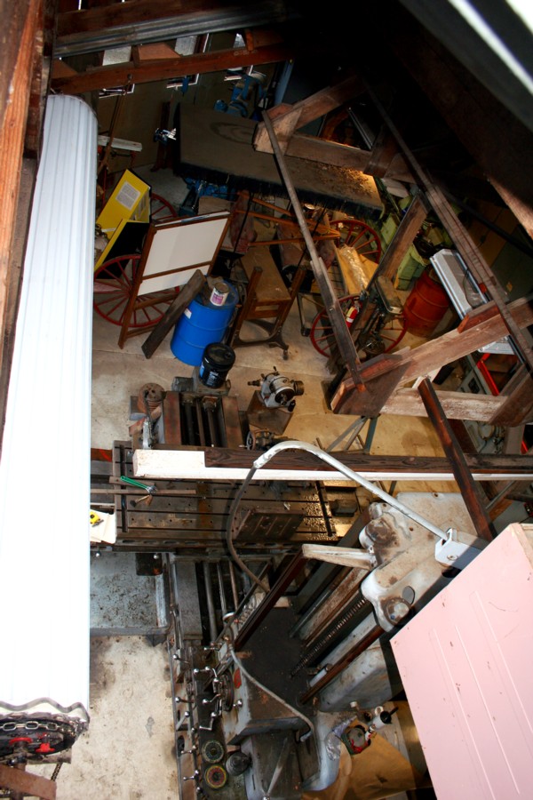
El Dorado Western machine shop
finding gold in the valley of Coloma

Hell in our backyard

The Fishing Spot 9174
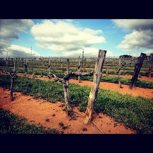
2010 - March
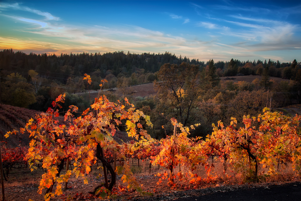
Boeger Winery in the Fall
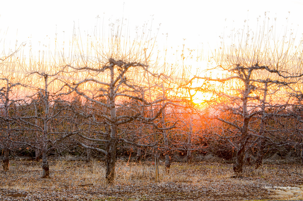
Apple Tree Sunset 5
Apple Hill
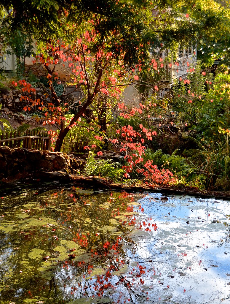
Boeger Winery pond
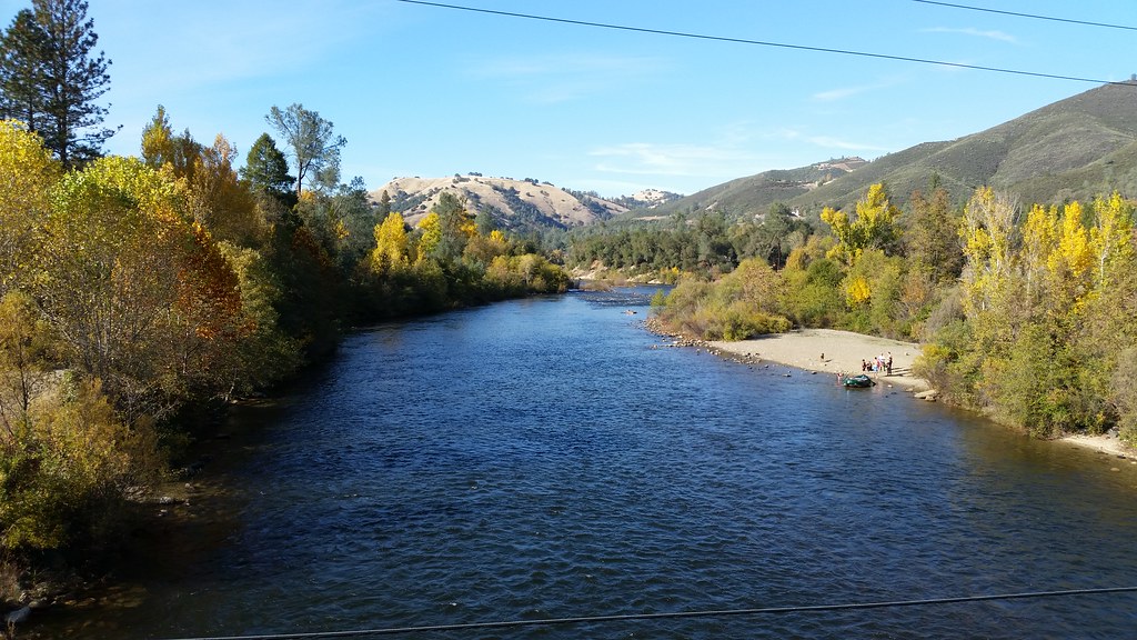
American River
Forty Acres and a Mule
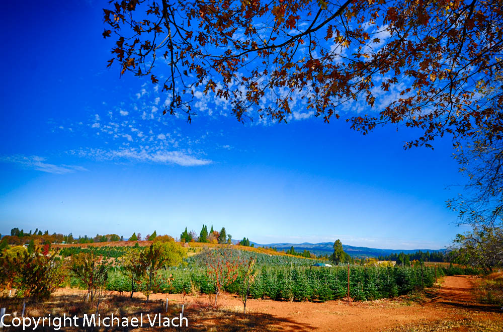
Fall vineyard sunset
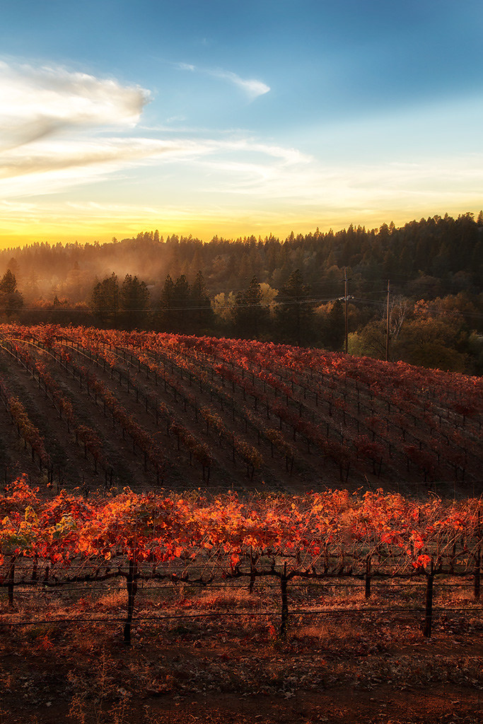
Sunset Vineyard

Morning on the river.
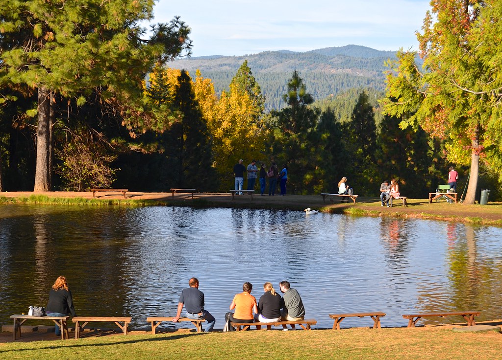
Fish Pond, High Hill
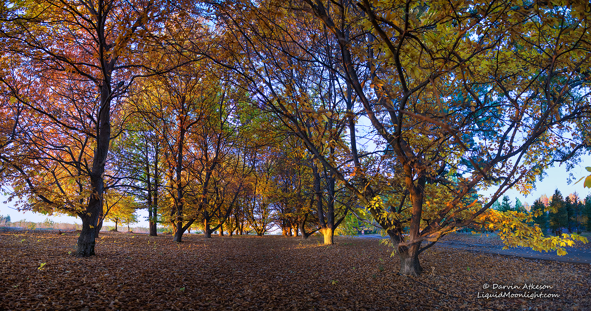
Chestnut Grove in Autumn Colors
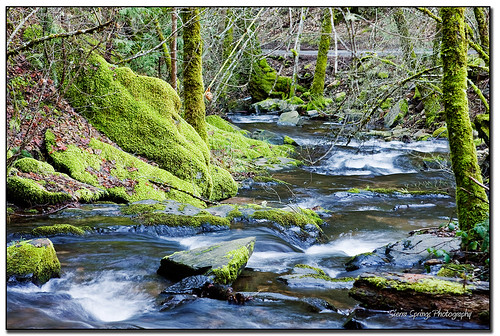
Moss and Water

Hipstamatic Wrights Lake
Apple Fields
176914332093068299_12635620121230-21449-1pd3p6a

Boa Vista Pumpkin Patch - Apple Hill
Topographic Map of Tranquil CRK, Placerville, CA, USA
Find elevation by address:

Places near Tranquil CRK, Placerville, CA, USA:
1100 Marshall Way
3178 Cedar Ravine Rd
3260 Clark St
Hazzard Street
Placerville
Elm Avenue
Main Street
Placerville Post Office
1508 Jeffrey Ln
1321 Village Ln
1350 Carson Rd
Mosquito Road
2813 Manor Dr
9801 Mosquito Rd
2405 Morrene Dr
3701 Denim Ct
1709 Carson Rd
1840 Warren Ln
Carson Road
Carson Road
Recent Searches:
- Elevation of Groblershoop, South Africa
- Elevation of Power Generation Enterprises | Industrial Diesel Generators, Oak Ave, Canyon Country, CA, USA
- Elevation of Chesaw Rd, Oroville, WA, USA
- Elevation of N, Mt Pleasant, UT, USA
- Elevation of 6 Rue Jules Ferry, Beausoleil, France
- Elevation of Sattva Horizon, 4JC6+G9P, Vinayak Nagar, Kattigenahalli, Bengaluru, Karnataka, India
- Elevation of Great Brook Sports, Gold Star Hwy, Groton, CT, USA
- Elevation of 10 Mountain Laurels Dr, Nashua, NH, USA
- Elevation of 16 Gilboa Ln, Nashua, NH, USA
- Elevation of Laurel Rd, Townsend, TN, USA