Elevation of Village Ln, Placerville, CA, USA
Location: United States > California > El Dorado County > Placerville >
Longitude: -120.78432
Latitude: 38.7333412
Elevation: 600m / 1968feet
Barometric Pressure: 94KPa
Elevation Map:
Satellite Map:
Related Photos:

Robinson's Pharmacy

Sunset Vineyard

Boeger Winery sunset view

Oct-11-Apple Hill-4ps

RV Camping..

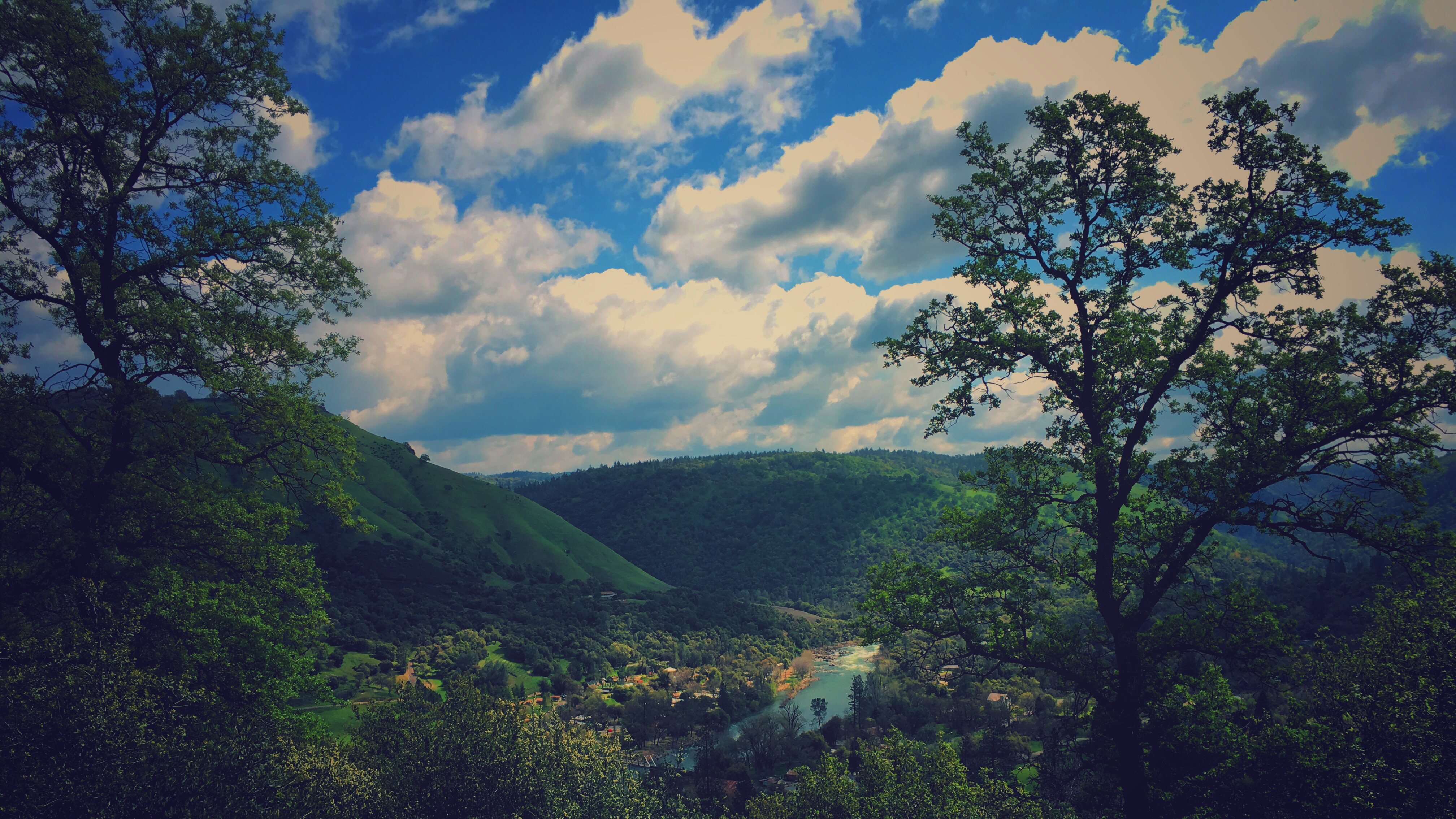
River View

Day 945: ElDorado_9950d

Morning Services

Outside the barn

Mom's Dirty Car
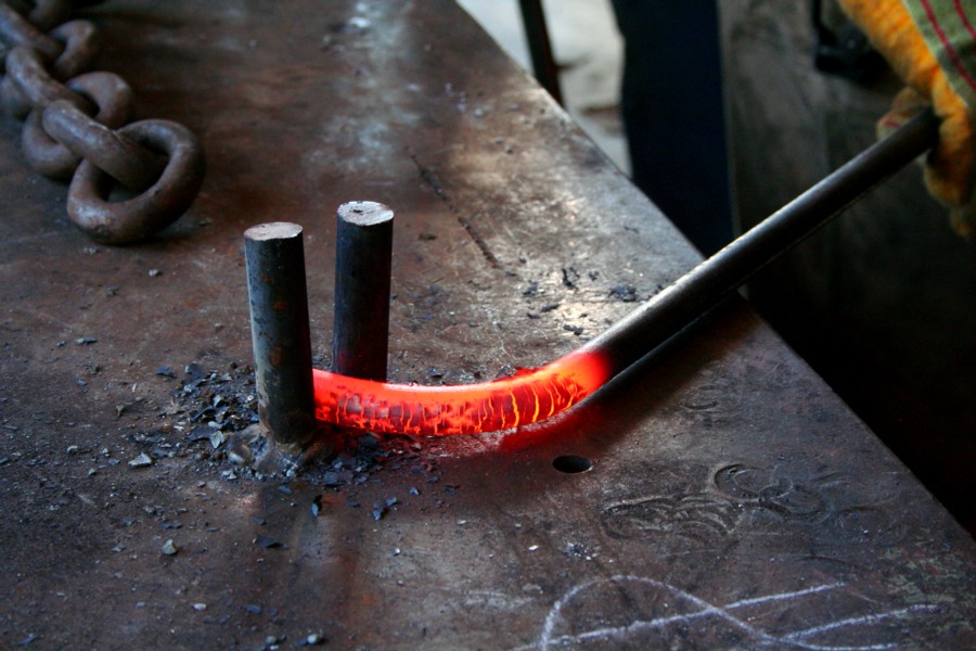
Bending the eye bolt
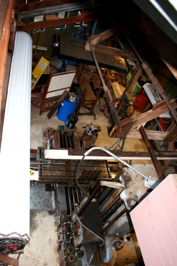
El Dorado Western machine shop
The view at Lava Cap Winery

Marshall Gold Discovery State Historic Park
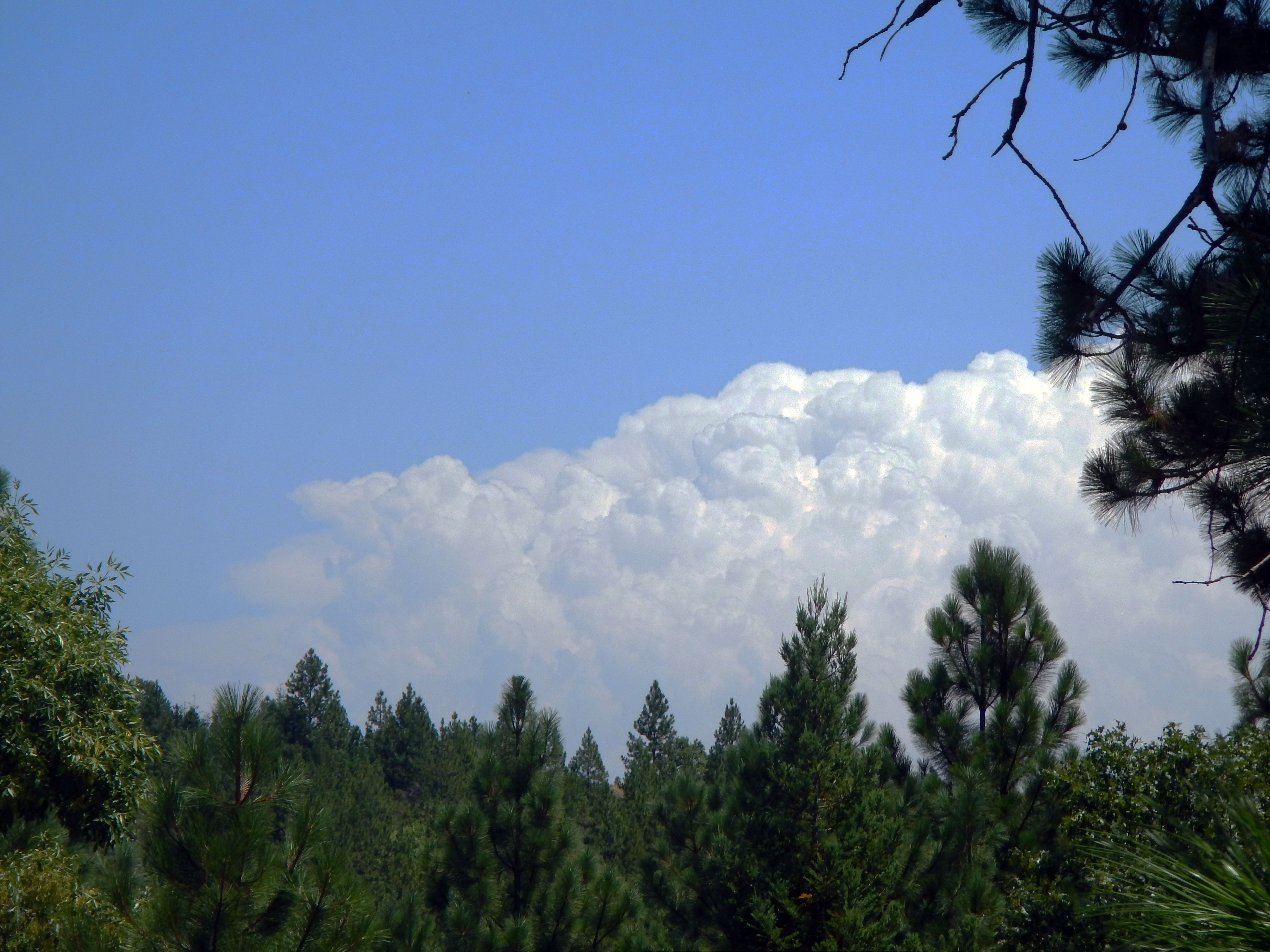
Thunderclouds Over the Crest

View from James Marshal Monument. Marshal Gold Discovery State Historic Park. Coloma, California. December 20, 2012.

Road to the Clouds

Beaded Diamond Fantasy Shawl

Dark Thunderclouds

I just got a new knee, and this has been my view for the past several days

I just got a new knee, and this has been my view for the past several days
finding gold in the valley of Coloma

Apple Hill

Calm Waters

A River Runs Through It

Hell in our backyard

Forty Acres and a Mule
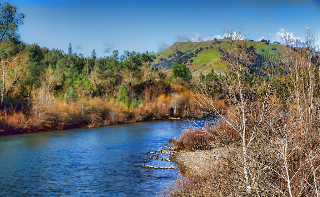
A Winter Morning Along the South Fork of the American River

Busby's Barn

North Fork Flow

Camp Creek Bridge

Sutter's Mill, Coloma, California Gold Rush Historic Site

Sourdough Road, Placerville, CA

These trees survived the season

Boeger Winery in the Fall

Marshall Gold Discovery State Historic Park

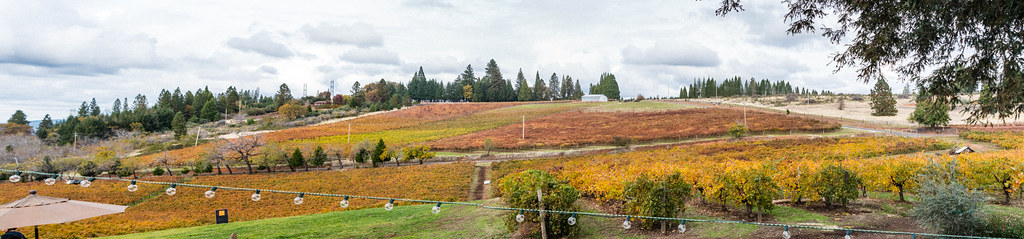
Sunset Vineyard

Iowa Creek

Dutch Creek Waterfall
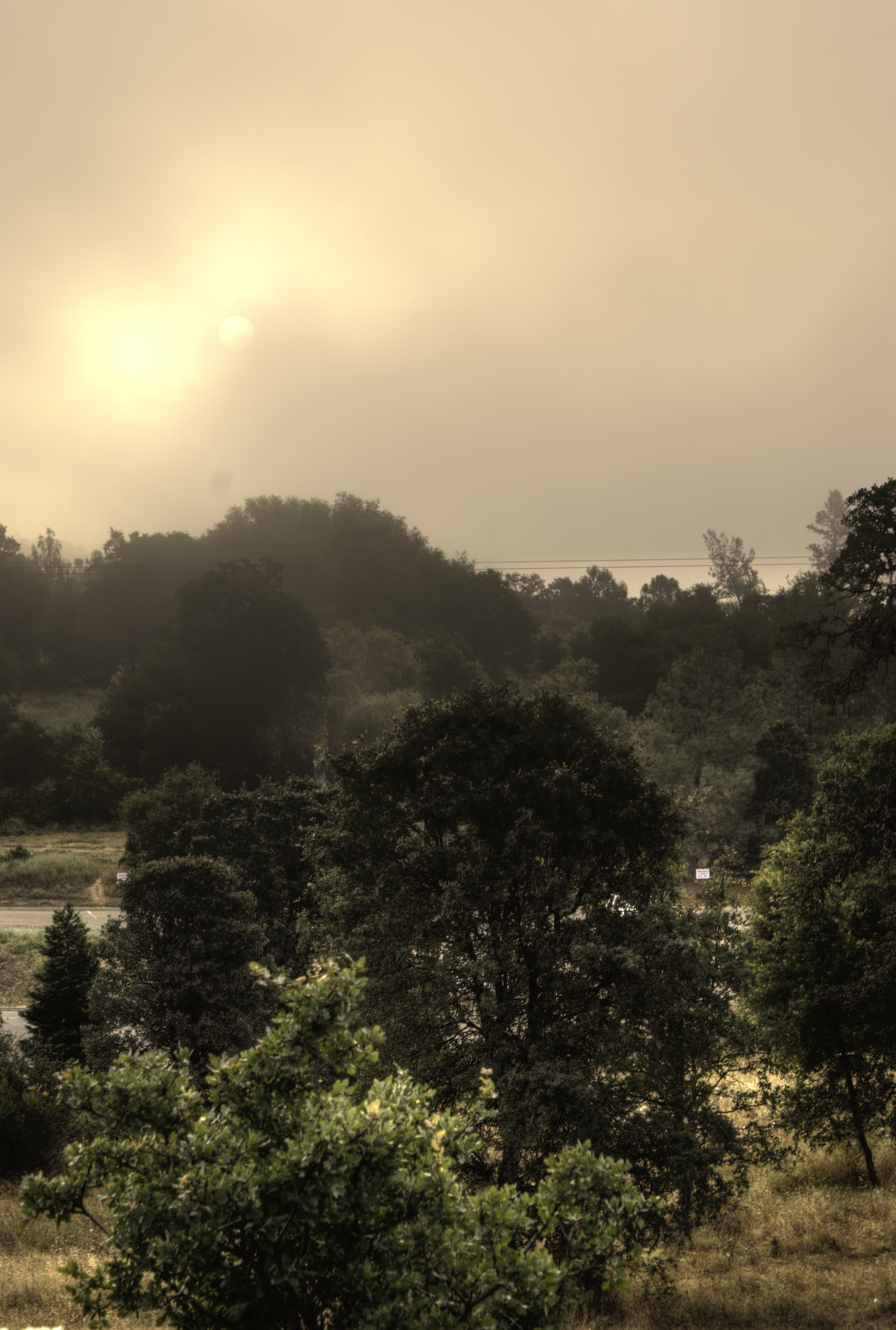
Hazy Morning

Tonight's Sunset
Topographic Map of Village Ln, Placerville, CA, USA
Find elevation by address:

Places near Village Ln, Placerville, CA, USA:
1350 Carson Rd
Mosquito Road
Hazzard Street
9801 Mosquito Rd
Elm Avenue
1100 Marshall Way
3178 Cedar Ravine Rd
1709 Carson Rd
3300 Tranquil Crk
Placerville
1508 Jeffrey Ln
2405 Morrene Dr
Main Street
3260 Clark St
Carson Road
Carson Road
Placerville Post Office
2084 Hideaway Ranch Rd
2813 Manor Dr
1840 Warren Ln
Recent Searches:
- Elevation of Groblershoop, South Africa
- Elevation of Power Generation Enterprises | Industrial Diesel Generators, Oak Ave, Canyon Country, CA, USA
- Elevation of Chesaw Rd, Oroville, WA, USA
- Elevation of N, Mt Pleasant, UT, USA
- Elevation of 6 Rue Jules Ferry, Beausoleil, France
- Elevation of Sattva Horizon, 4JC6+G9P, Vinayak Nagar, Kattigenahalli, Bengaluru, Karnataka, India
- Elevation of Great Brook Sports, Gold Star Hwy, Groton, CT, USA
- Elevation of 10 Mountain Laurels Dr, Nashua, NH, USA
- Elevation of 16 Gilboa Ln, Nashua, NH, USA
- Elevation of Laurel Rd, Townsend, TN, USA