Elevation of Carson Rd, Placerville, CA, USA
Location: United States > California > El Dorado County > Placerville >
Longitude: -120.77561
Latitude: 38.743746
Elevation: 679m / 2228feet
Barometric Pressure: 93KPa
Elevation Map:
Satellite Map:
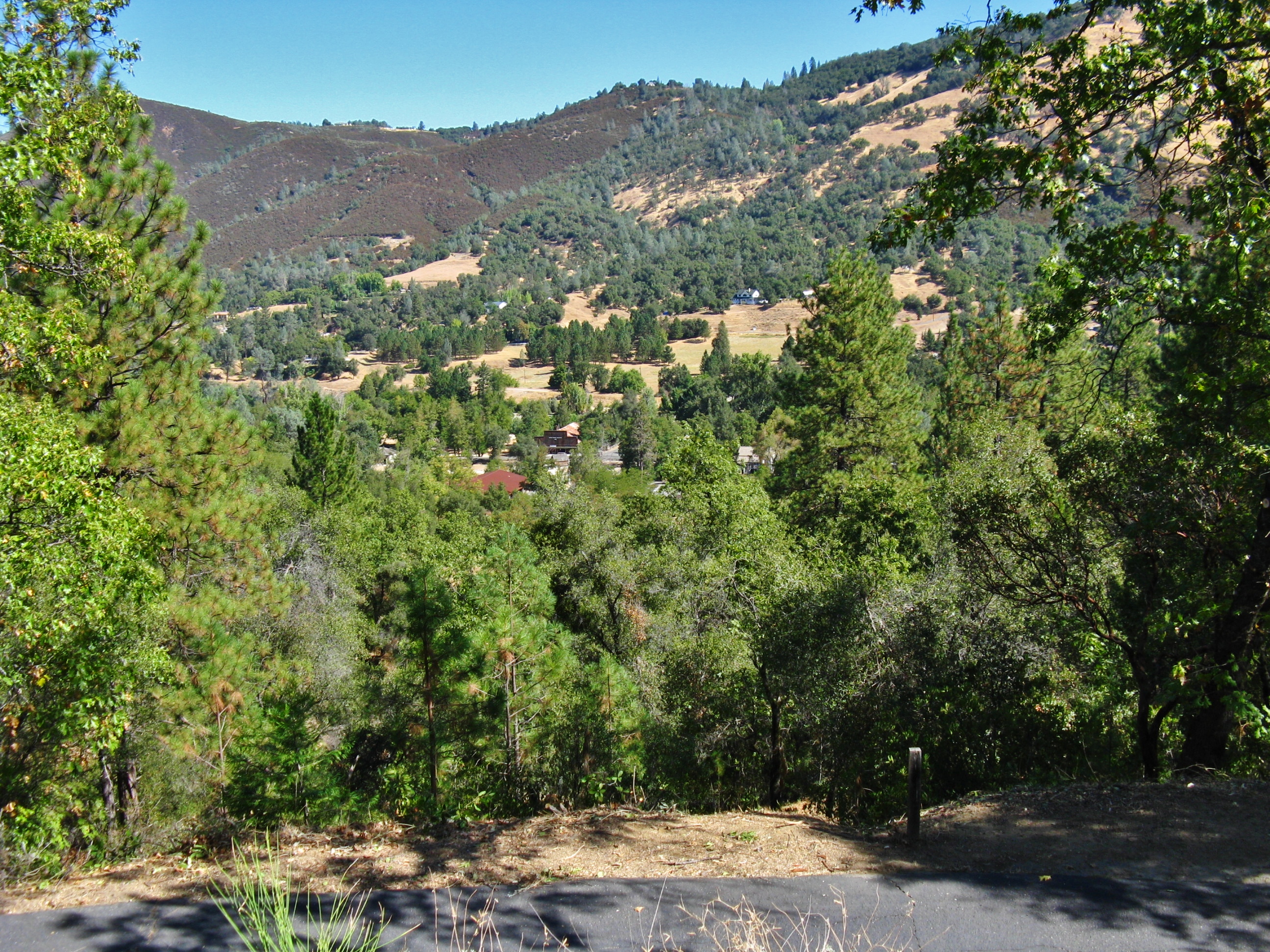
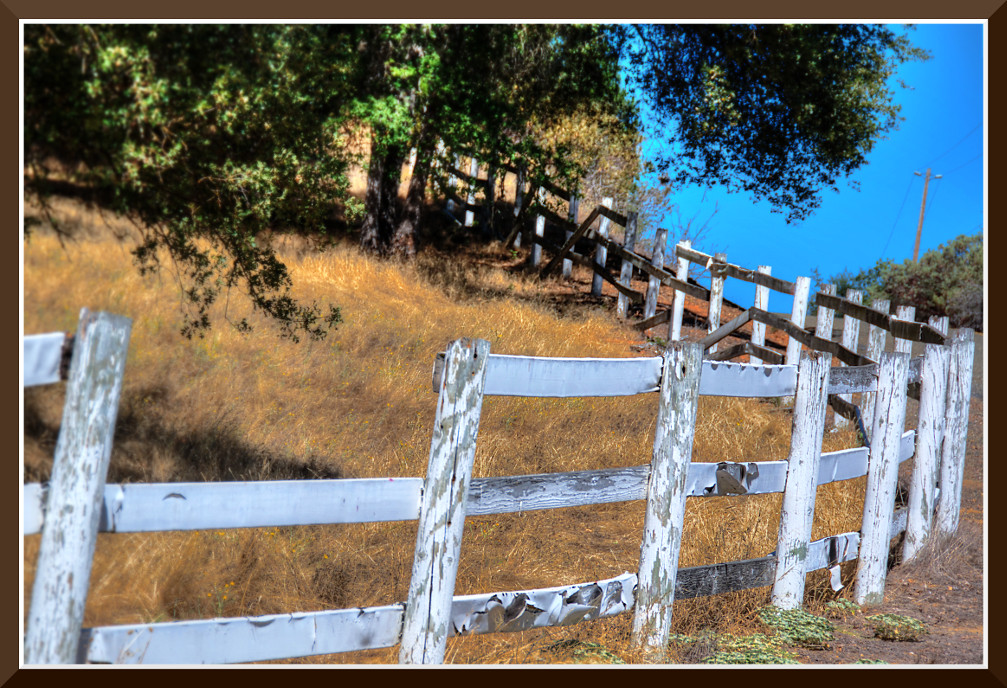
Related Photos:

Boeger Winery sunset view
Sunset Vineyard

Apple Hill in the Rear View Mirror
RV Camping..
Morning Services

Thunderclouds Over the Crest
View from James Marshal Monument. Marshal Gold Discovery State Historic Park. Coloma, California. December 20, 2012.
Marshall Gold Discovery State Historic Park
Robinson's Pharmacy
Oct-11-Apple Hill-4ps
Day 945: ElDorado_9950d
Mom's Dirty Car
Pear Blossom spring
pool view
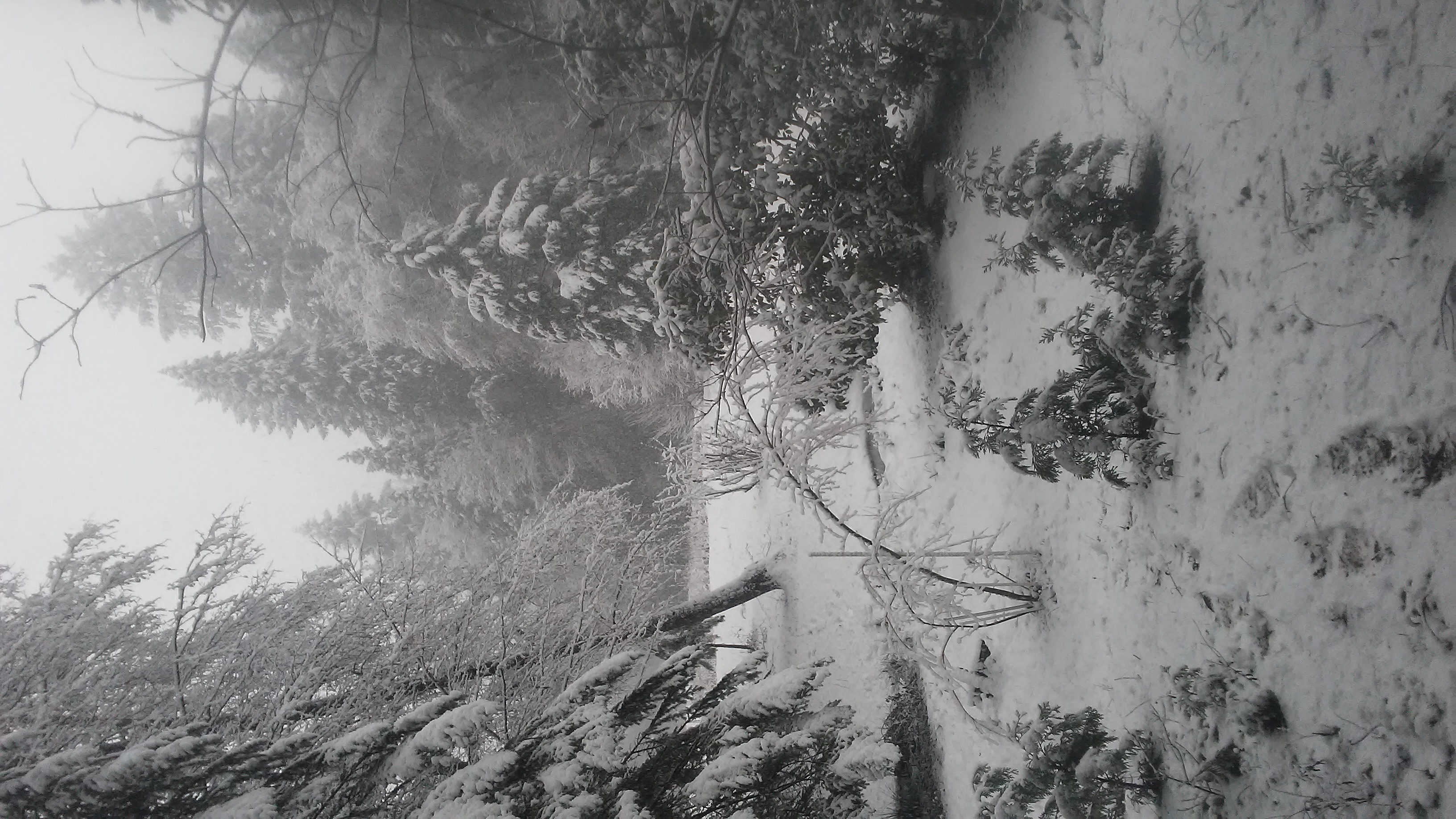
snowy view

Early Morning
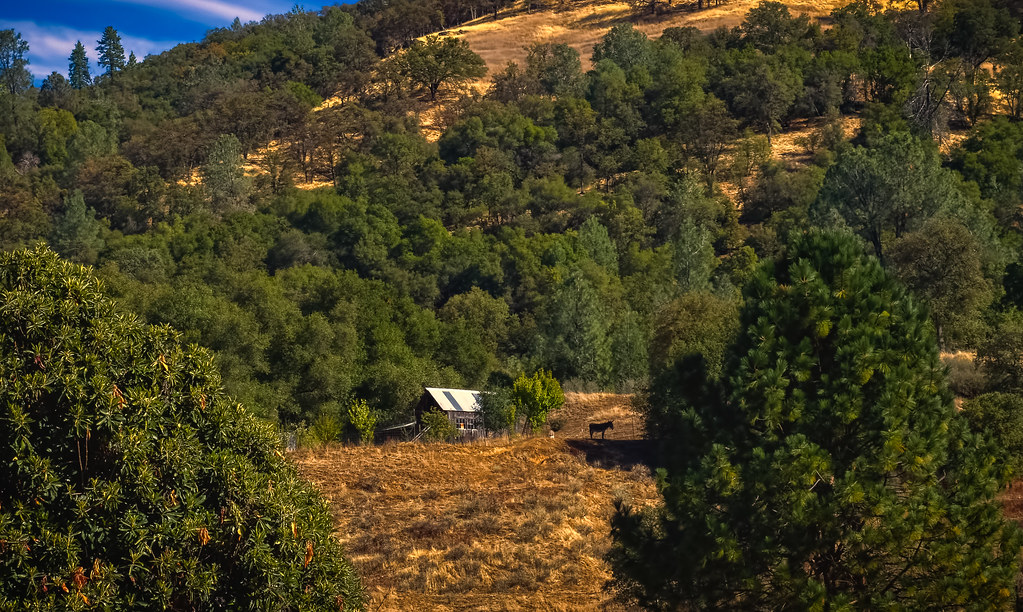
Outside the barn
side yard view
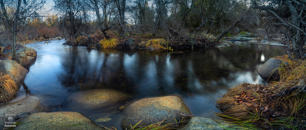
River bend
South Fork Panorama
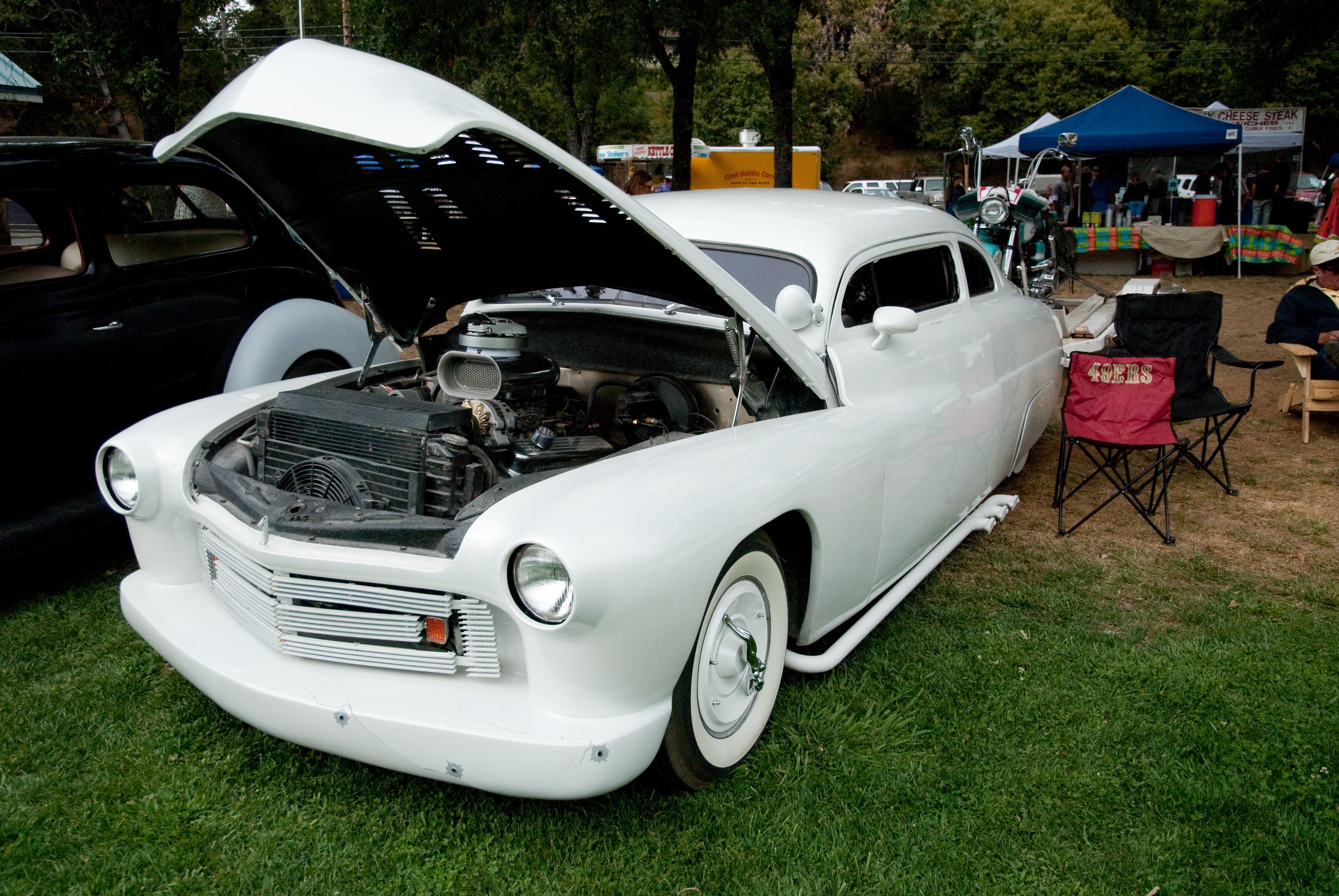
GVCarShow-6
A River Runs Through It
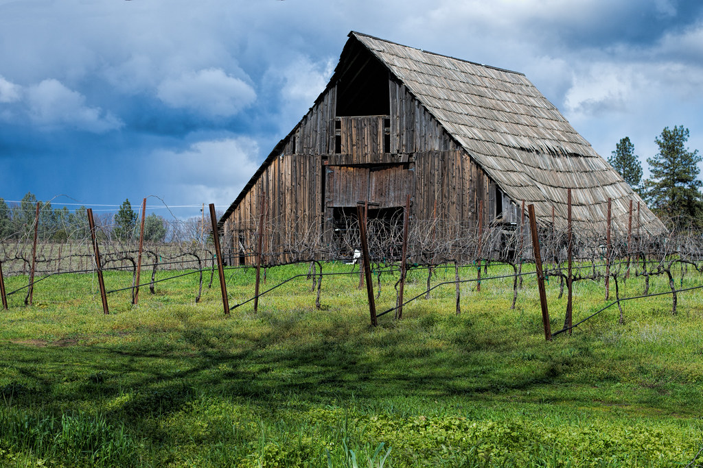
Busby's Barn
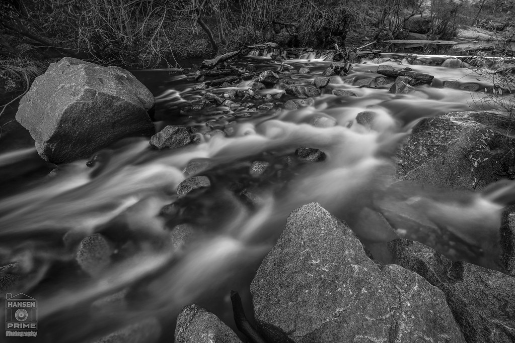
Calm Waters

Geese grazing in a field - Tiny Planet
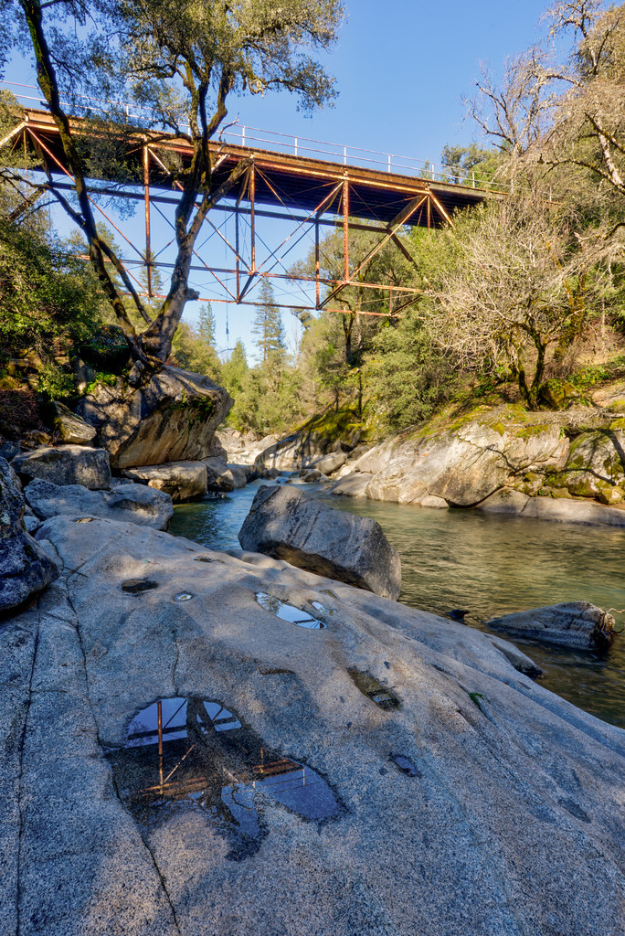
Camp Creek Bridge
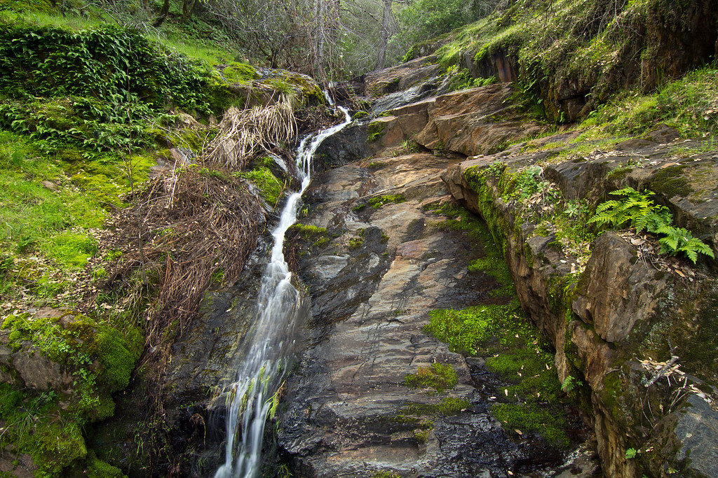
Rock Creek, El Dorado Co
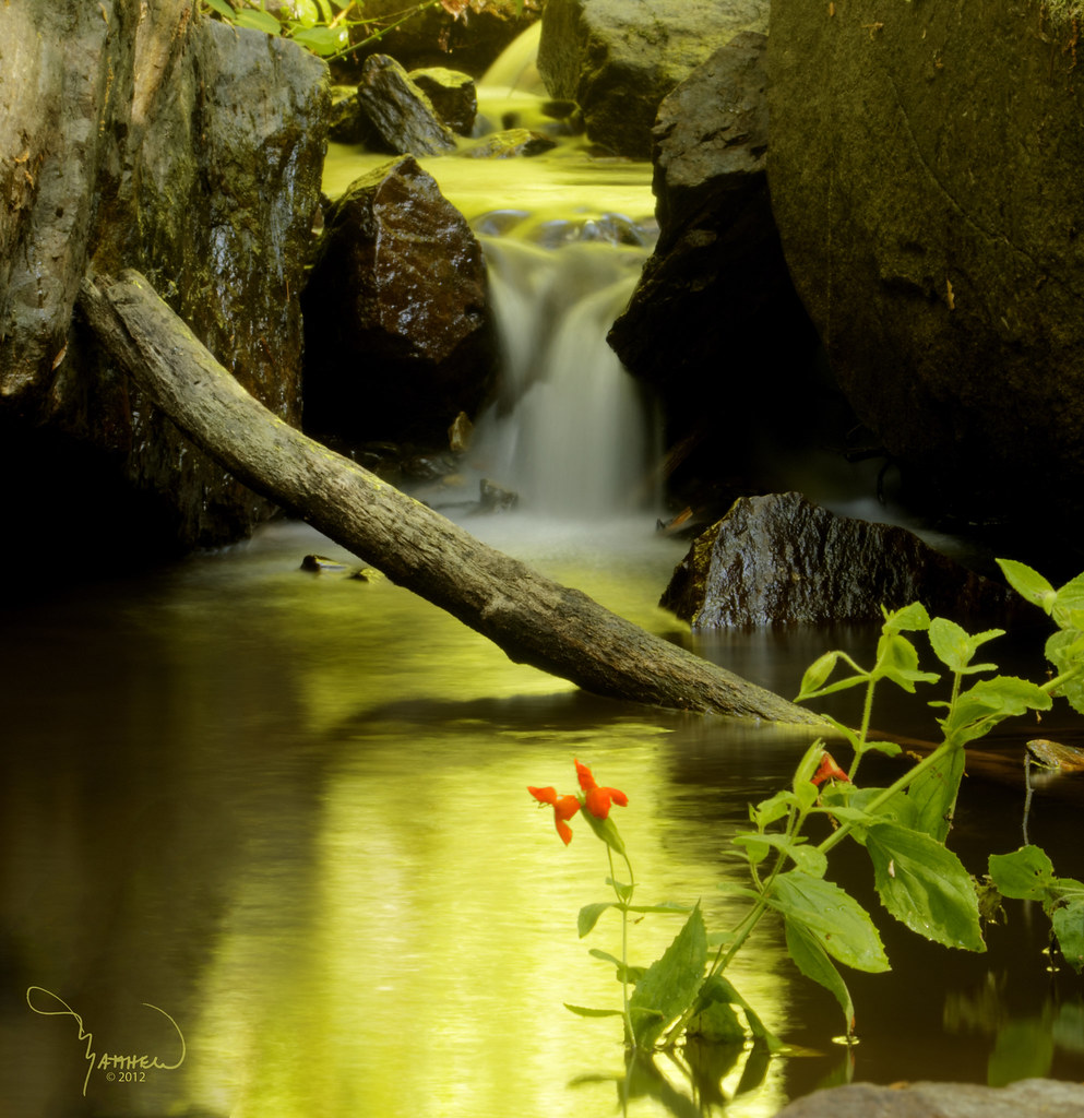
Iowa Creek
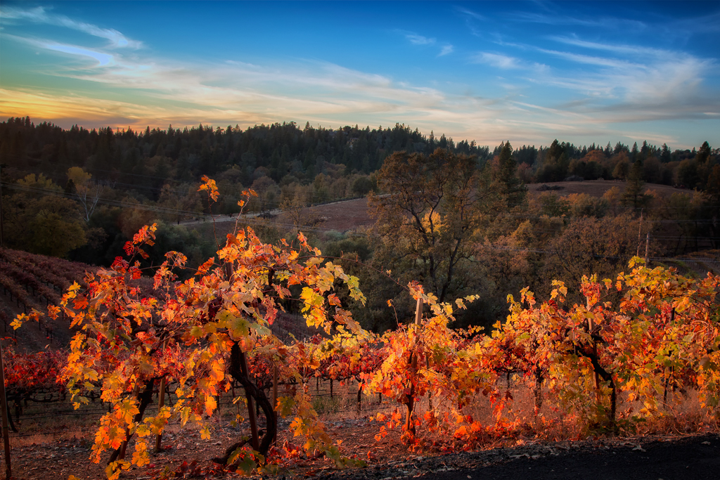
Boeger Winery in the Fall
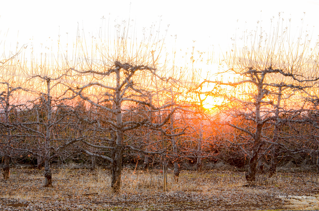
Apple Tree Sunset 5

Audubon Hills Camino CA.
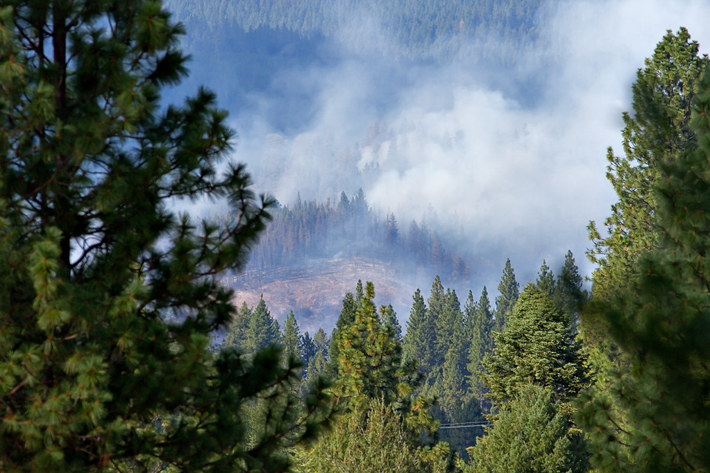
King Fire Western Edge 0423
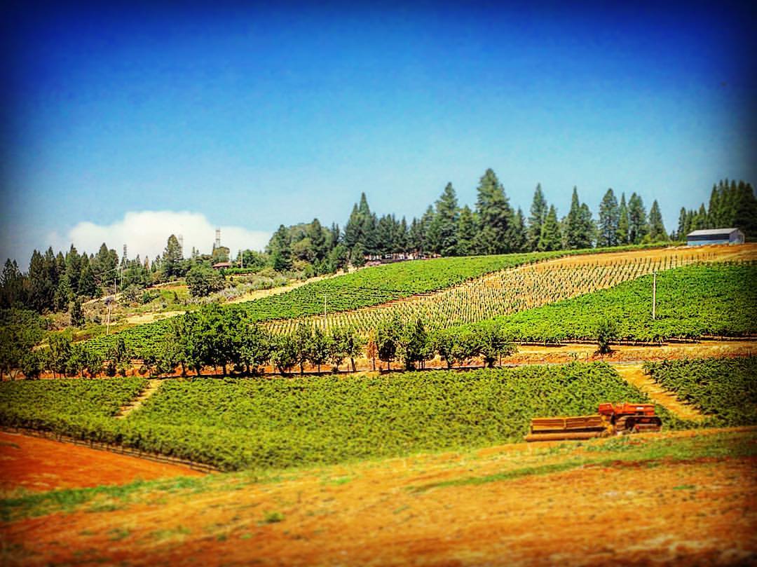
#lavacapwinery #scenic #landscape #vineyards #grapevines #hillside
Apple Hill
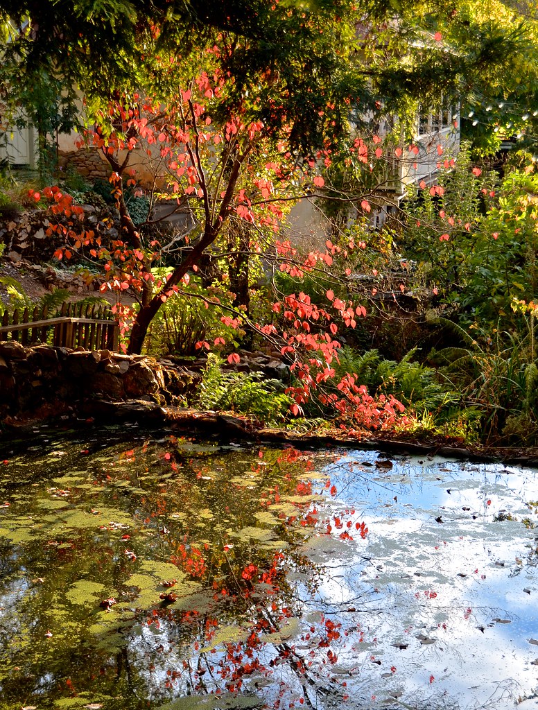
Boeger Winery pond
Forty Acres and a Mule
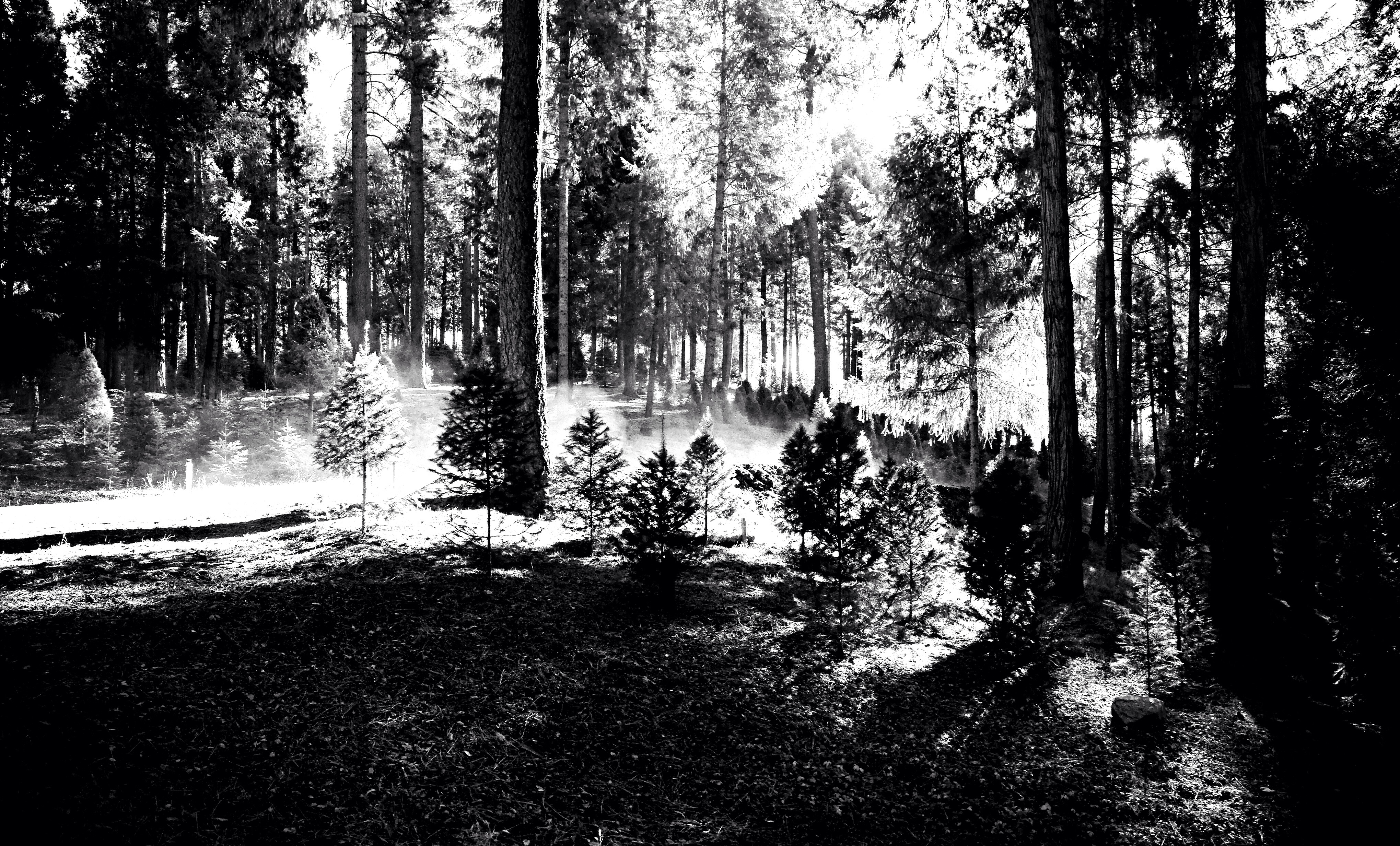
the fog
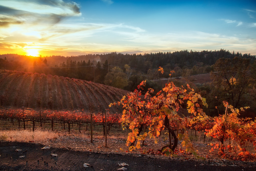
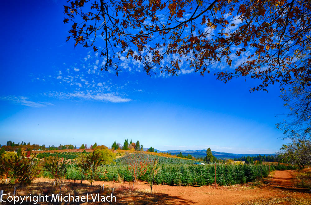
Fall vineyard sunset

Mt. Aukum Dawn.jpg
Audubon Hills Camino CA.
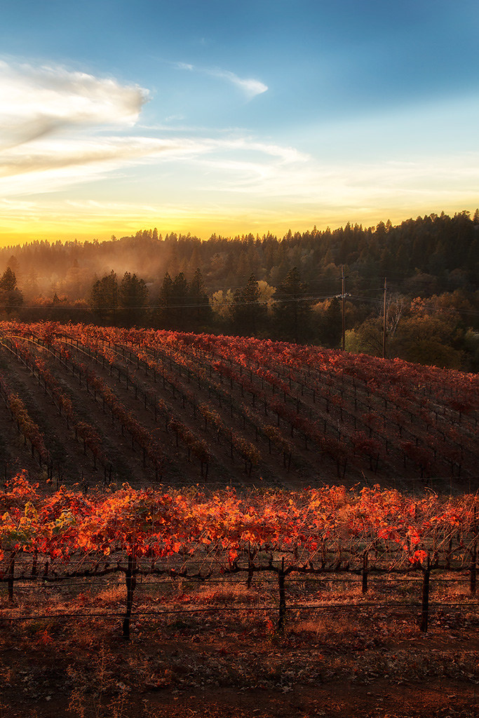
Sunset Vineyard
Topographic Map of Carson Rd, Placerville, CA, USA
Find elevation by address:

Places near Carson Rd, Placerville, CA, USA:
9801 Mosquito Rd
Carson Road
Carson Road
2084 Hideaway Ranch Rd
Mosquito Road
1620 Rose Ln
1350 Carson Rd
1673 Rose Ln
1321 Village Ln
1849 Union Ridge Rd
3490 Parleys Canyon
2405 Morrene Dr
1840 Warren Ln
Hazzard Street
8841 Mosquito Rd
Elm Avenue
1508 Jeffrey Ln
1100 Marshall Way
3178 Cedar Ravine Rd
Placerville
Recent Searches:
- Elevation of Royal Ontario Museum, Queens Park, Toronto, ON M5S 2C6, Canada
- Elevation of Groblershoop, South Africa
- Elevation of Power Generation Enterprises | Industrial Diesel Generators, Oak Ave, Canyon Country, CA, USA
- Elevation of Chesaw Rd, Oroville, WA, USA
- Elevation of N, Mt Pleasant, UT, USA
- Elevation of 6 Rue Jules Ferry, Beausoleil, France
- Elevation of Sattva Horizon, 4JC6+G9P, Vinayak Nagar, Kattigenahalli, Bengaluru, Karnataka, India
- Elevation of Great Brook Sports, Gold Star Hwy, Groton, CT, USA
- Elevation of 10 Mountain Laurels Dr, Nashua, NH, USA
- Elevation of 16 Gilboa Ln, Nashua, NH, USA