Elevation of Denim Ct, Placerville, CA, USA
Location: United States > California > El Dorado County > Placerville >
Longitude: -120.76631
Latitude: 38.7175347
Elevation: 650m / 2133feet
Barometric Pressure: 94KPa
Elevation Map:
Satellite Map:
Related Photos:

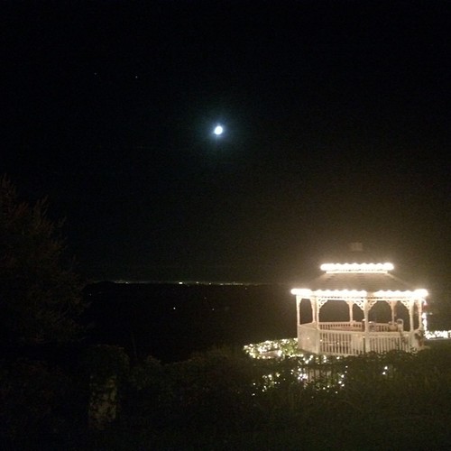
Early Morning
Marshall Gold Discovery State Historic Park
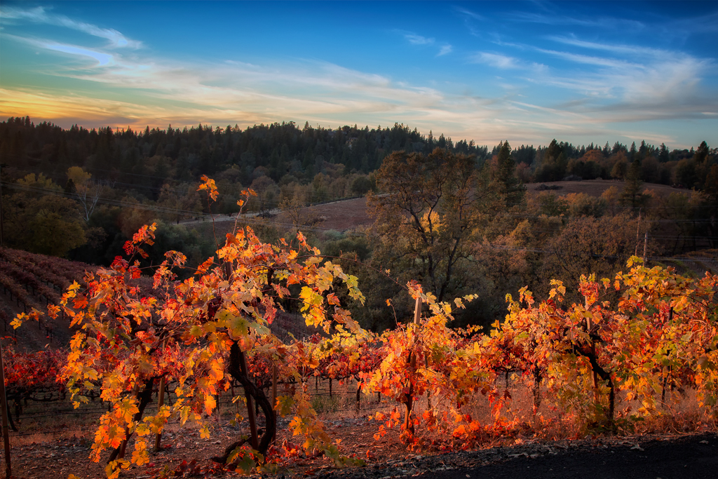
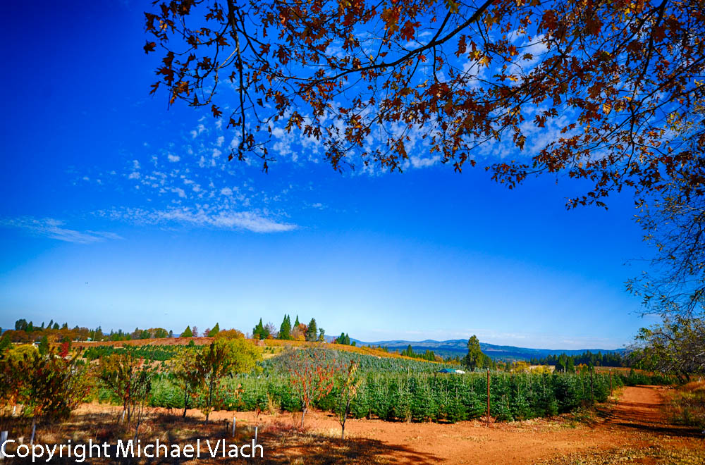
Sunset Vineyard

Robinson's Pharmacy

Can you spot @she.roams and my dog enjoying the view?

Oct-11-Apple Hill-4ps
Trail of Stars
Day 945: ElDorado_9950d

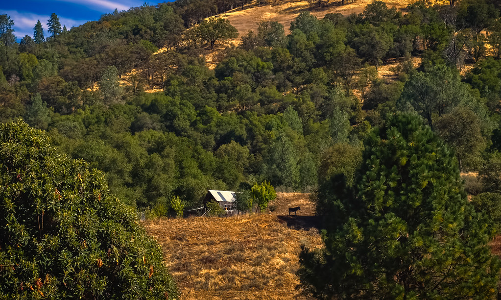
Shadow Ranch, Winery view
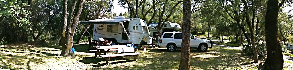
RV Camping..

Road to the Clouds
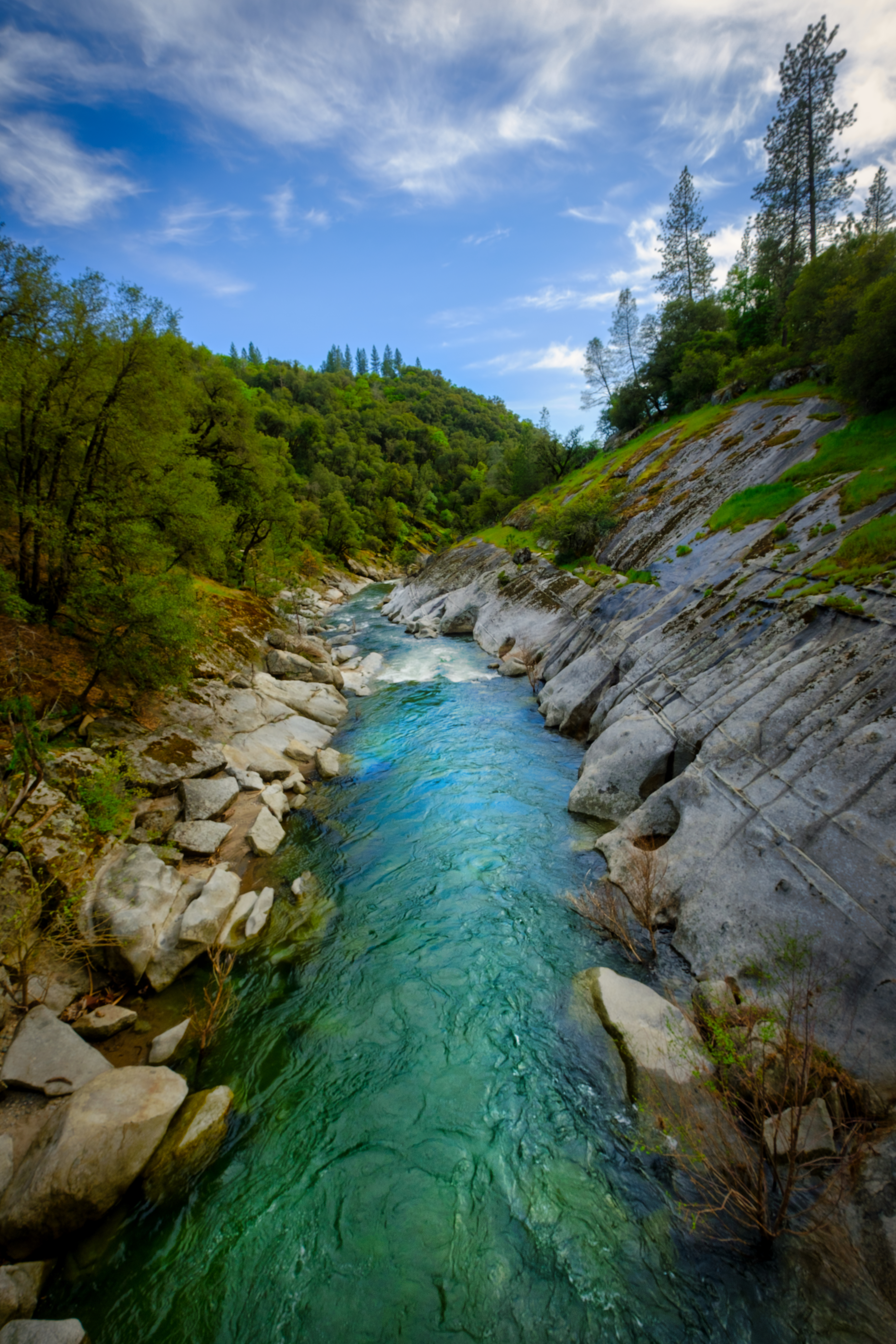
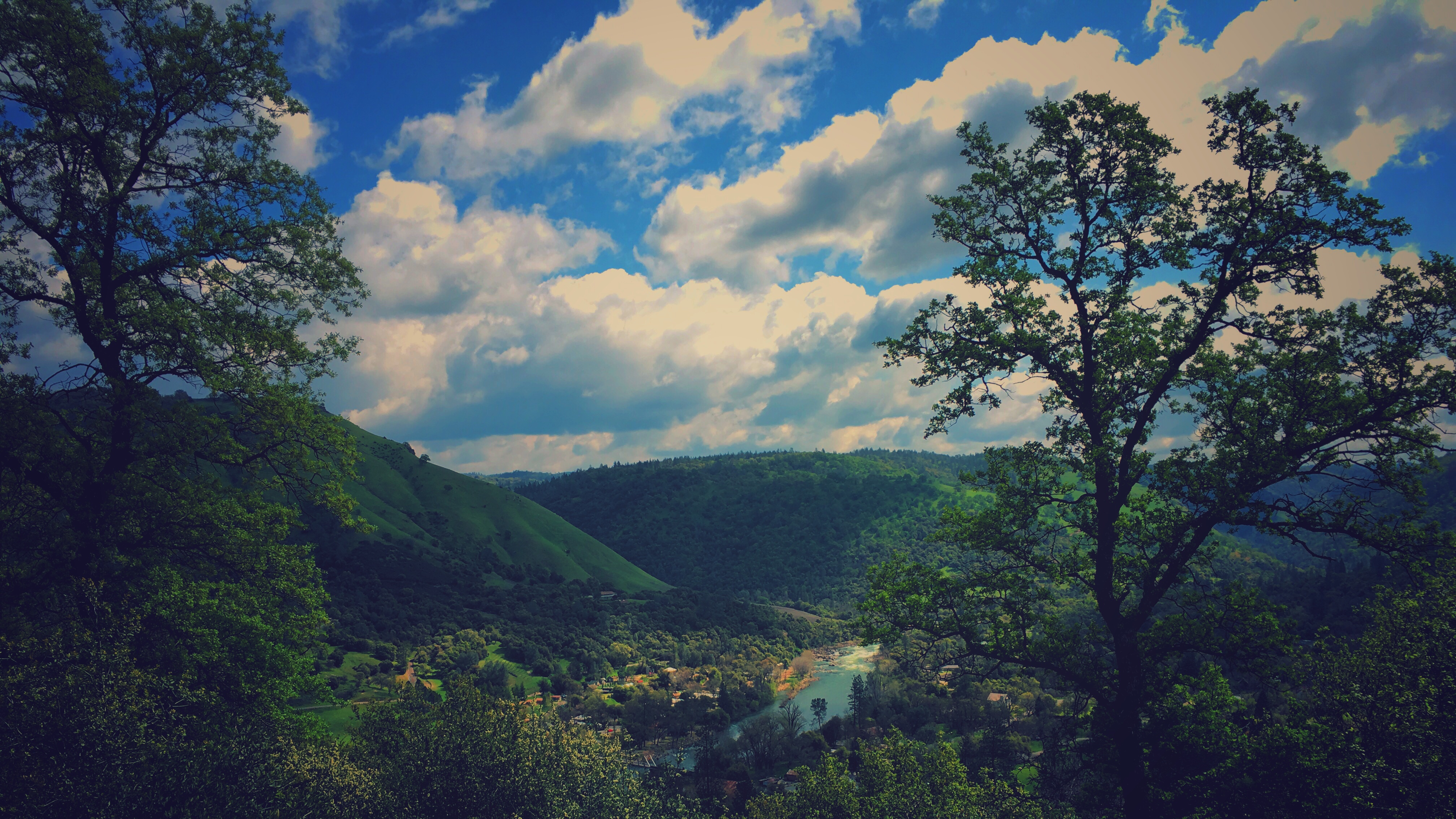
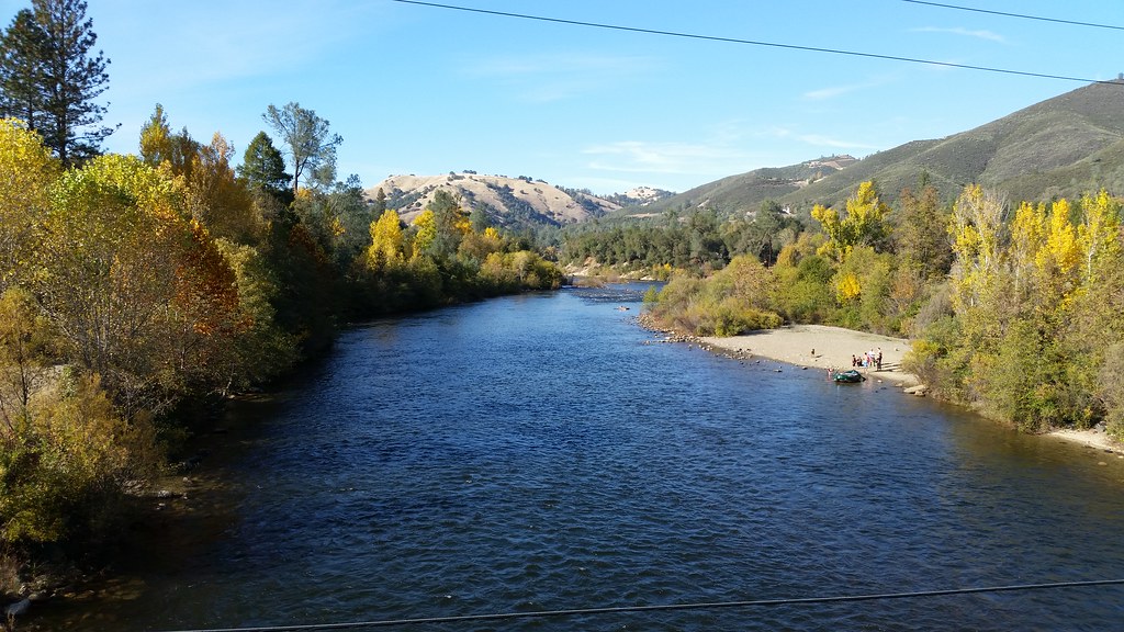
River View
Pear Blossom spring
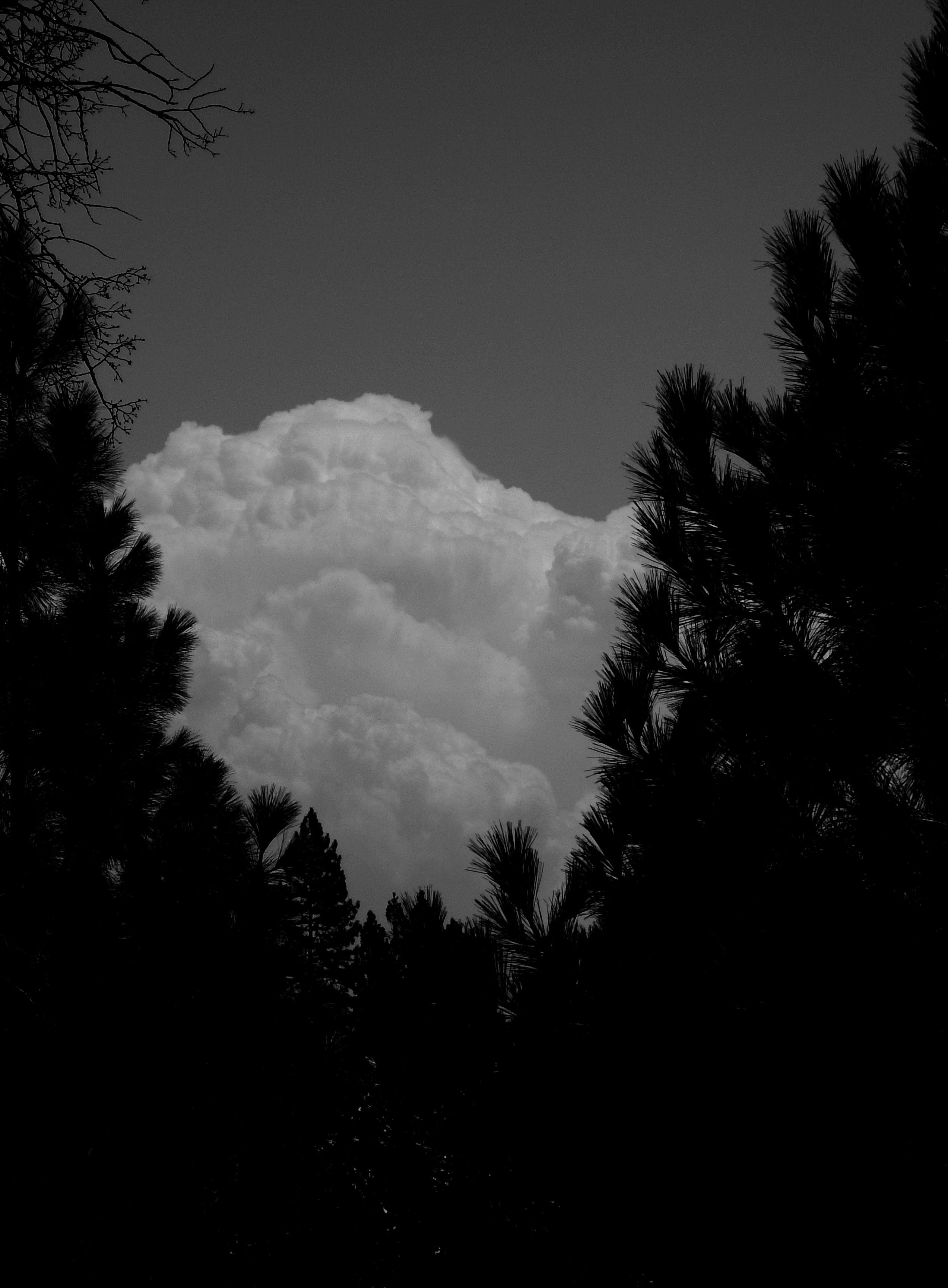
Dark Thunderclouds

Thunderclouds Over the Crest
This place is a Thomas Kincaid Disney wedging cake vineyard with music coming out of rocks and plastic flowers galore with awesome views and vineyard
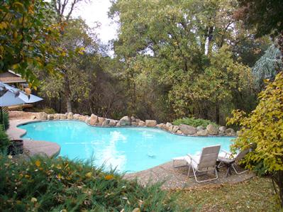
pool view
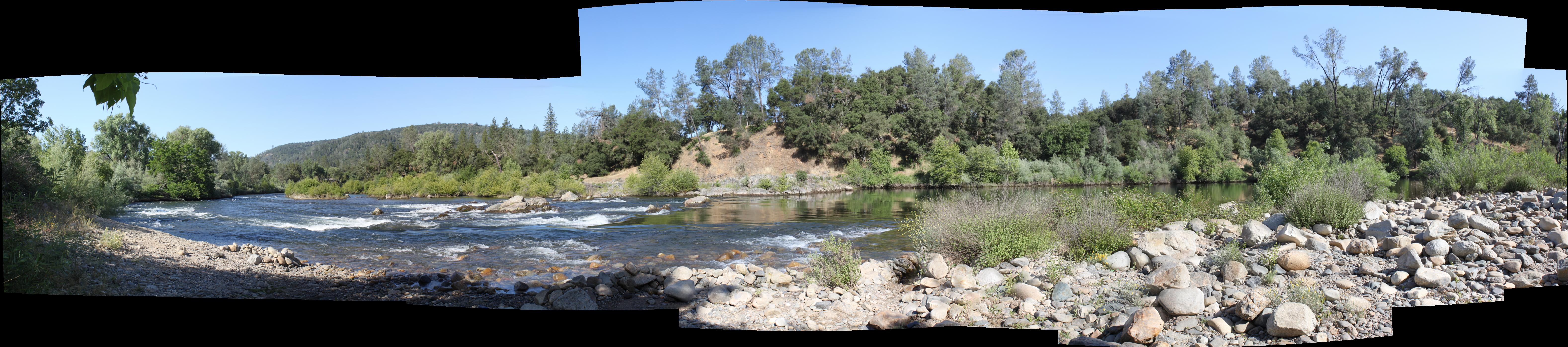
South Fork Panorama

Oct-11-Apple Hill-7ps
View from James Marshal Monument. Marshal Gold Discovery State Historic Park. Coloma, California. December 20, 2012.

sunset last night
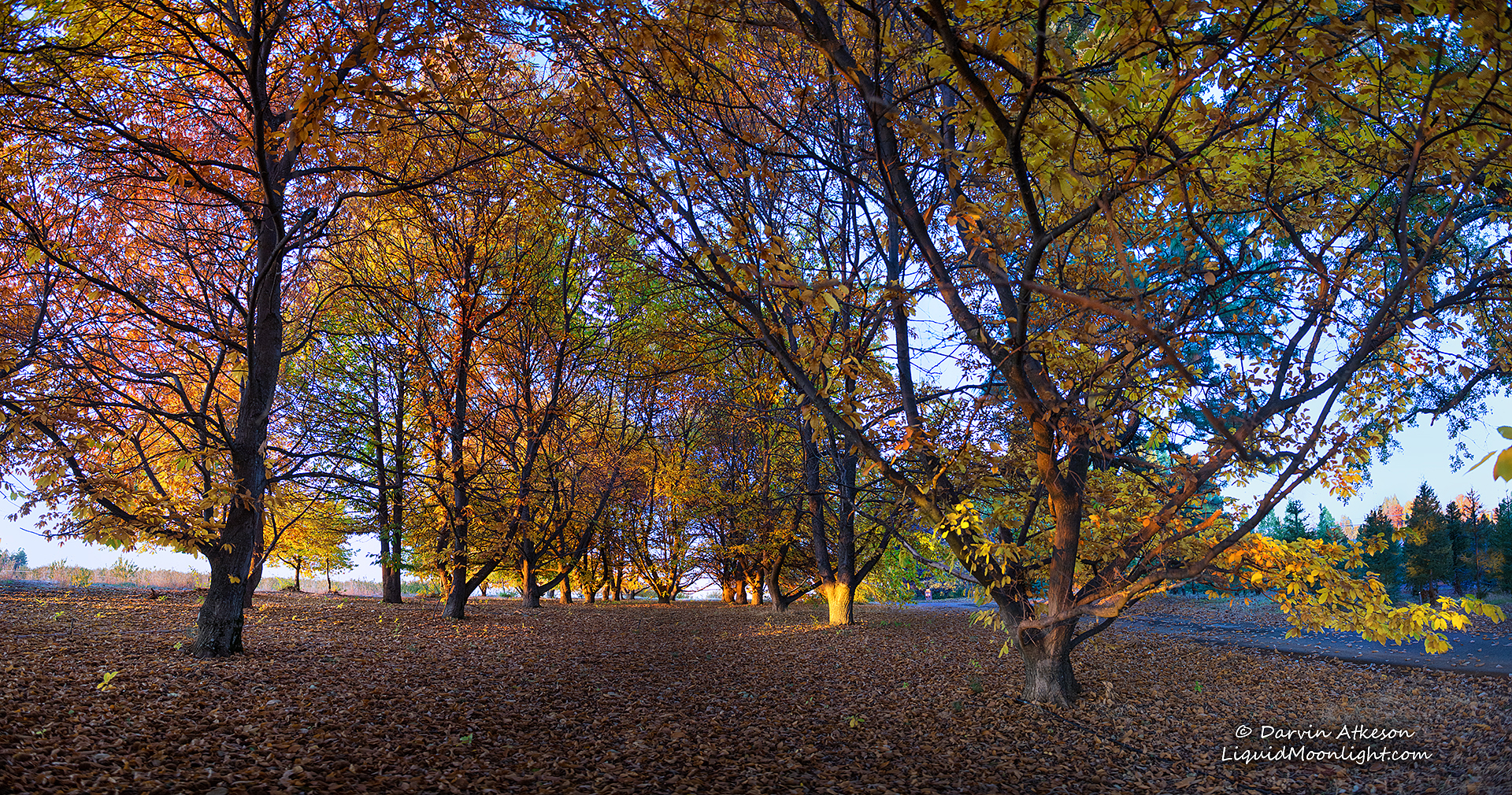
Chestnut Grove in Autumn Colors

Boa Vista Pumpkin Patch - Apple Hill

Hell in our backyard
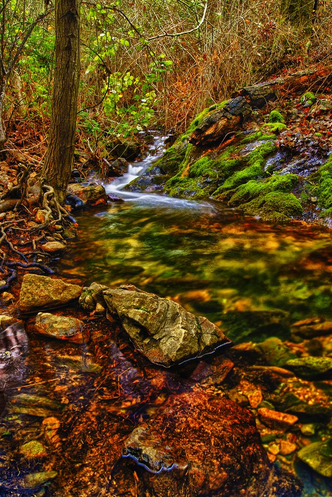
Iowa Creek
Boeger Winery in the Fall
finding gold in the valley of Coloma
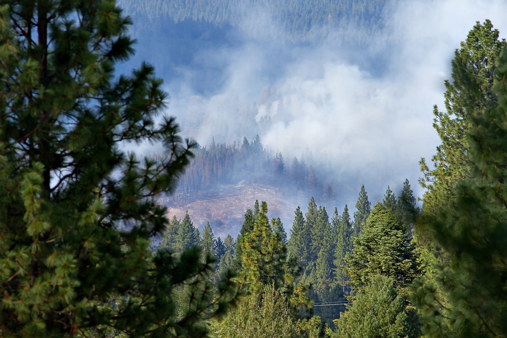
King Fire Western Edge 0423
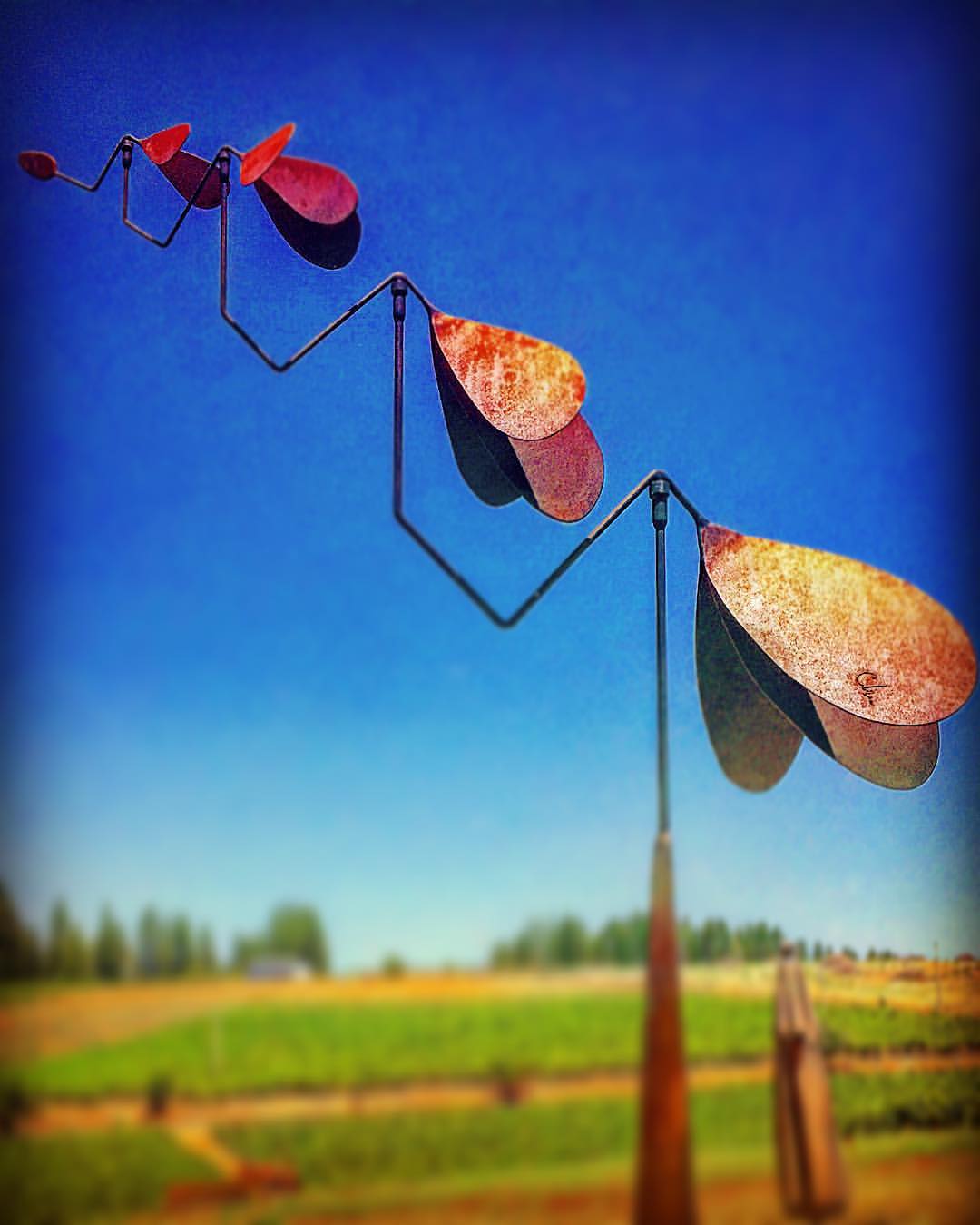
#lavacapwinery #sculpture #kinetic #scenic #landscape #art #photoart

Sly Park Waterfalls
Apple Hill

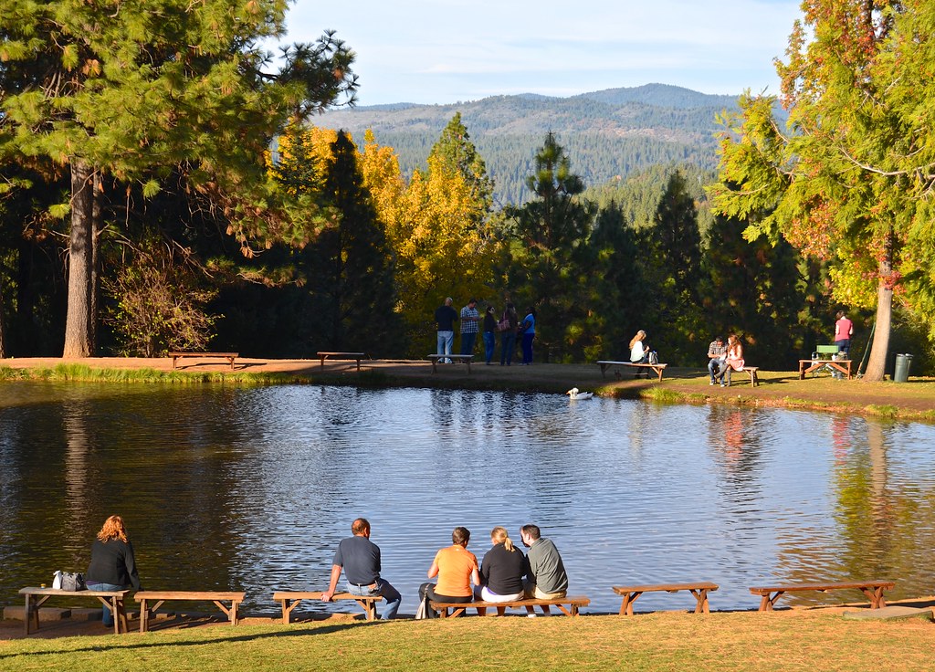
Boeger Winery pond
Forty Acres and a Mule
American River
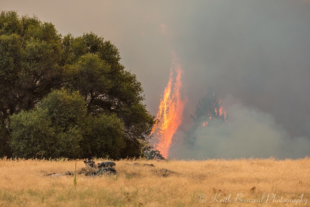
Sand Fire July 2014 © Keith Breazeal-15
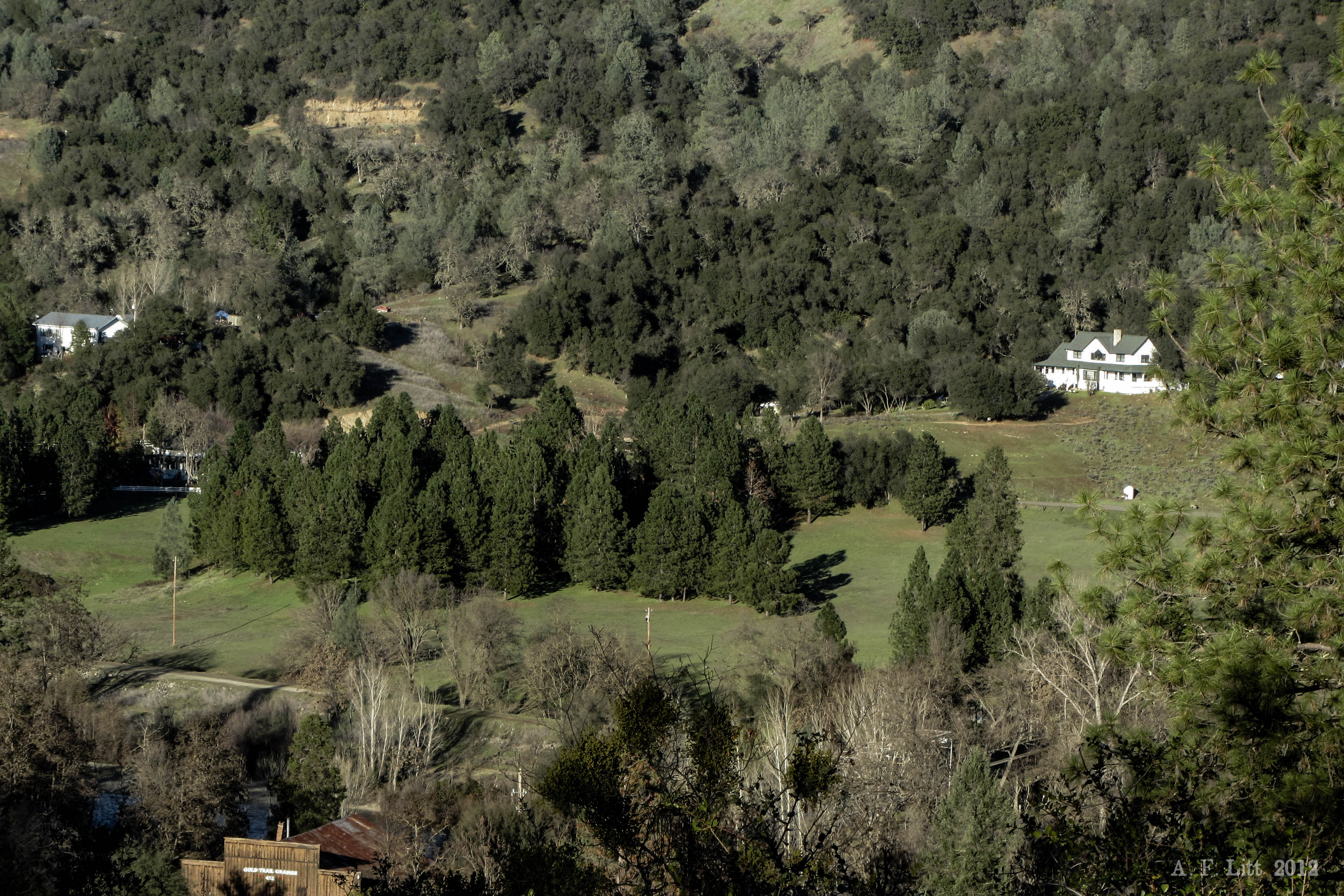
Audubon Hills Camino CA.

#vineyard #landscape #sky #green #patterns #horizon
Fish Pond, High Hill
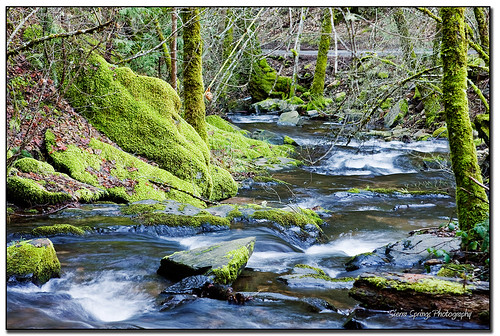
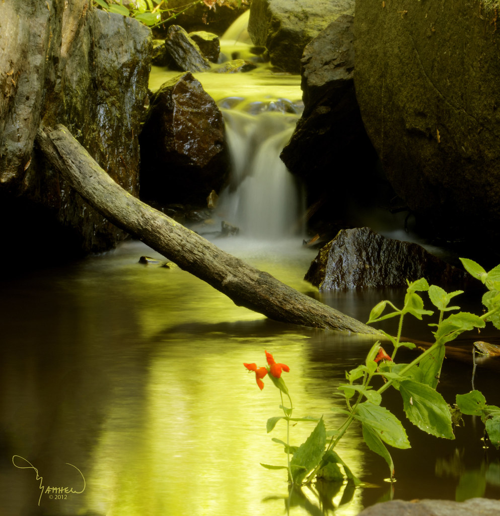
Moss and Water
FRENCHTOWN FOREST GEM
Topographic Map of Denim Ct, Placerville, CA, USA
Find elevation by address:

Places near Denim Ct, Placerville, CA, USA:
1508 Jeffrey Ln
1840 Warren Ln
1321 Village Ln
1350 Carson Rd
3300 Tranquil Crk
Hazzard Street
Carson Road
Carson Road
9801 Mosquito Rd
Mosquito Road
1100 Marshall Way
1709 Carson Rd
3178 Cedar Ravine Rd
Elm Avenue
3260 Clark St
Placerville
2084 Hideaway Ranch Rd
1849 Union Ridge Rd
Main Street
Placerville Post Office
Recent Searches:
- Elevation of Gateway Blvd SE, Canton, OH, USA
- Elevation of East W.T. Harris Boulevard, E W.T. Harris Blvd, Charlotte, NC, USA
- Elevation of West Sugar Creek, Charlotte, NC, USA
- Elevation of Wayland, NY, USA
- Elevation of Steadfast Ct, Daphne, AL, USA
- Elevation of Lagasgasan, X+CQH, Tiaong, Quezon, Philippines
- Elevation of Rojo Ct, Atascadero, CA, USA
- Elevation of Flagstaff Drive, Flagstaff Dr, North Carolina, USA
- Elevation of Avery Ln, Lakeland, FL, USA
- Elevation of Woolwine, VA, USA