Elevation of Tradewinds Crescent, Kemptville, ON K0G 1J0, Canada
Location: Canada > Ontario > Leeds And Grenville United Counties > North Grenville > Kemptville >
Longitude: -75.683111
Latitude: 45.0393246
Elevation: 88m / 289feet
Barometric Pressure: 100KPa
Elevation Map:
Satellite Map:
Related Photos:

The view from the deck

3 Mailboxes

View through the windshield

Lock 17 Rideau River 234/365

On the Road

Happy Cows

Another view of the Kemptville Creek at sunset

Poppy Pods

A view closer to the shoreline

On the Road

Spike admires the view

River.. Again..

Rideau River

Locks Opening

My Steed

River Overpass

Hydrate...

Watch out Fly

The view from my mother-in-laws back yard

RIver Crossing

Country Roads

Going nowhere / Vers le grand nulle part

20190425-002: The beach in early spring

This Old House

Ivory-39

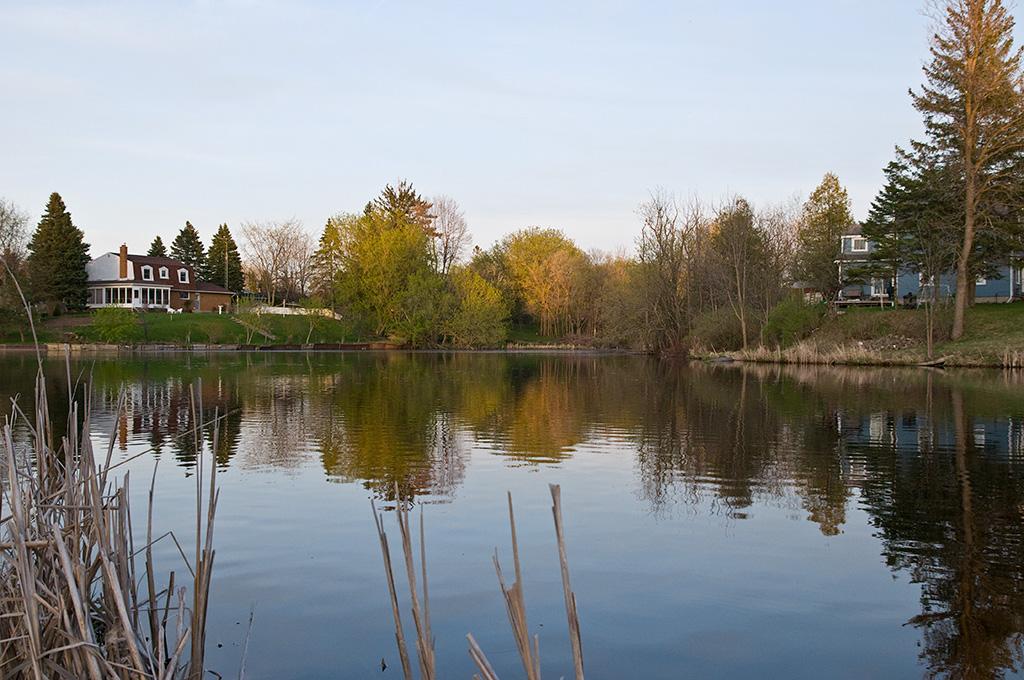
The Kemptville Creek

Ivory-48

Ivory-10

Ivory-05
Curry Park

Kemptville Creek

Ivory-94

20181011-001: River fog

207/365: Order 1 Stream
Topographic Map of Tradewinds Crescent, Kemptville, ON K0G 1J0, Canada
Find elevation by address:

Places near Tradewinds Crescent, Kemptville, ON K0G 1J0, Canada:
Tradewinds Crescent
River Rd, Kemptville, ON K0G 1J0, Canada
Merlyn Wilson Rd, Kemptville, ON K0G 1J0, Canada
Unnamed Road
7683 Fairhurst Dr
2755 County Rd 43
10 George St W
Riverview Lane
1267 Hilly Ln
Kemptville
2422 Fairmile Rd
Curry Park
Hilly Lane South
Rideau River Road
Dilworth Road
Dilworth Rd, Kars, ON K0A 2E0, Canada
3089 Marlin Rd
7038 Gallagher Rd
Church Street
North Gower
Recent Searches:
- Elevation of Badaber, Peshawar, Khyber Pakhtunkhwa, Pakistan
- Elevation of SE Heron Loop, Lincoln City, OR, USA
- Elevation of Slanický ostrov, 01 Námestovo, Slovakia
- Elevation of Spaceport America, Co Rd A, Truth or Consequences, NM, USA
- Elevation of Warwick, RI, USA
- Elevation of Fern Rd, Whitmore, CA, USA
- Elevation of 62 Abbey St, Marshfield, MA, USA
- Elevation of Fernwood, Bradenton, FL, USA
- Elevation of Felindre, Swansea SA5 7LU, UK
- Elevation of Leyte Industrial Development Estate, Isabel, Leyte, Philippines