Elevation of Dilworth Rd, Kars, ON K0A 2E0, Canada
Location: Canada > Ontario > Ottawa Division > Ottawa > Kars > Kars - Osgoode >
Longitude: -75.6414535
Latitude: 45.0985827
Elevation: 89m / 292feet
Barometric Pressure: 0KPa
Related Photos:
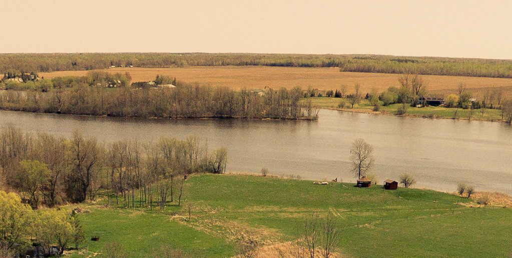
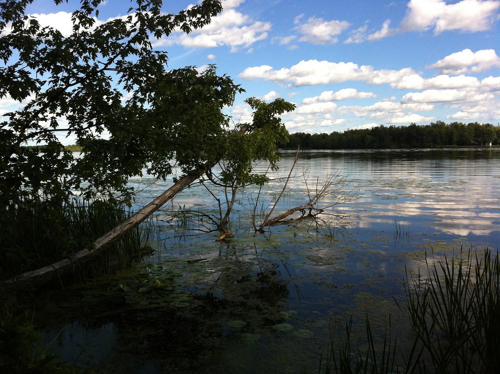
206/365: Rideau River Landscape
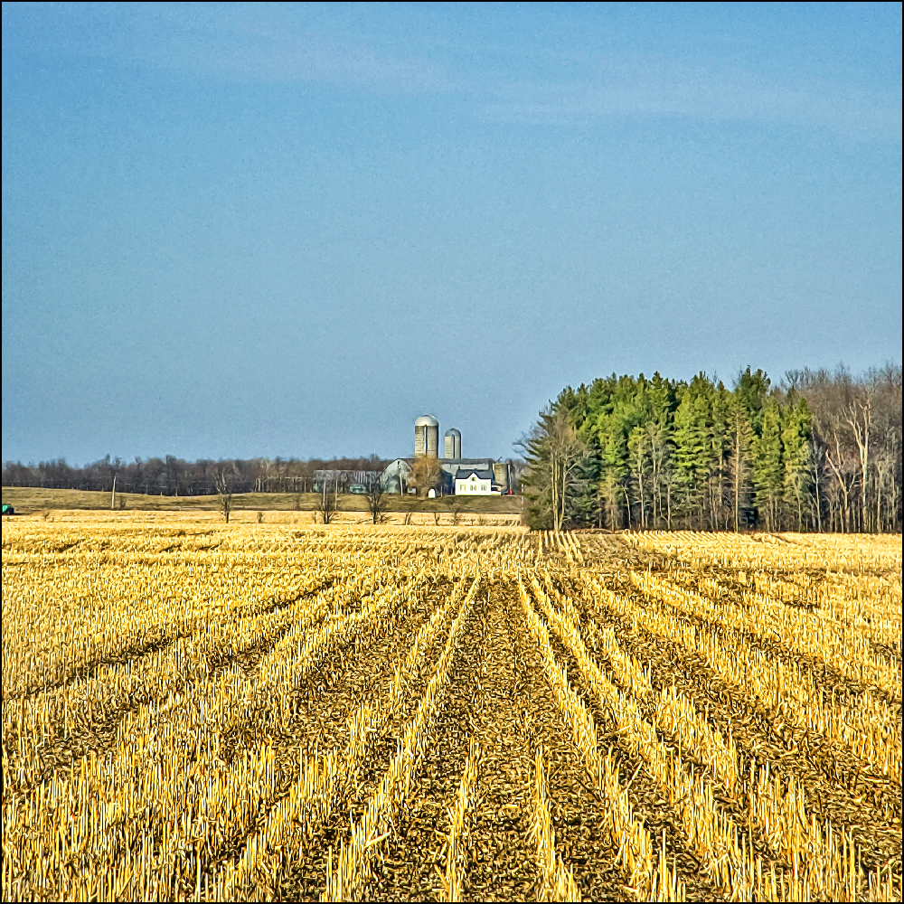
~ Cropped Crops Cropped ~

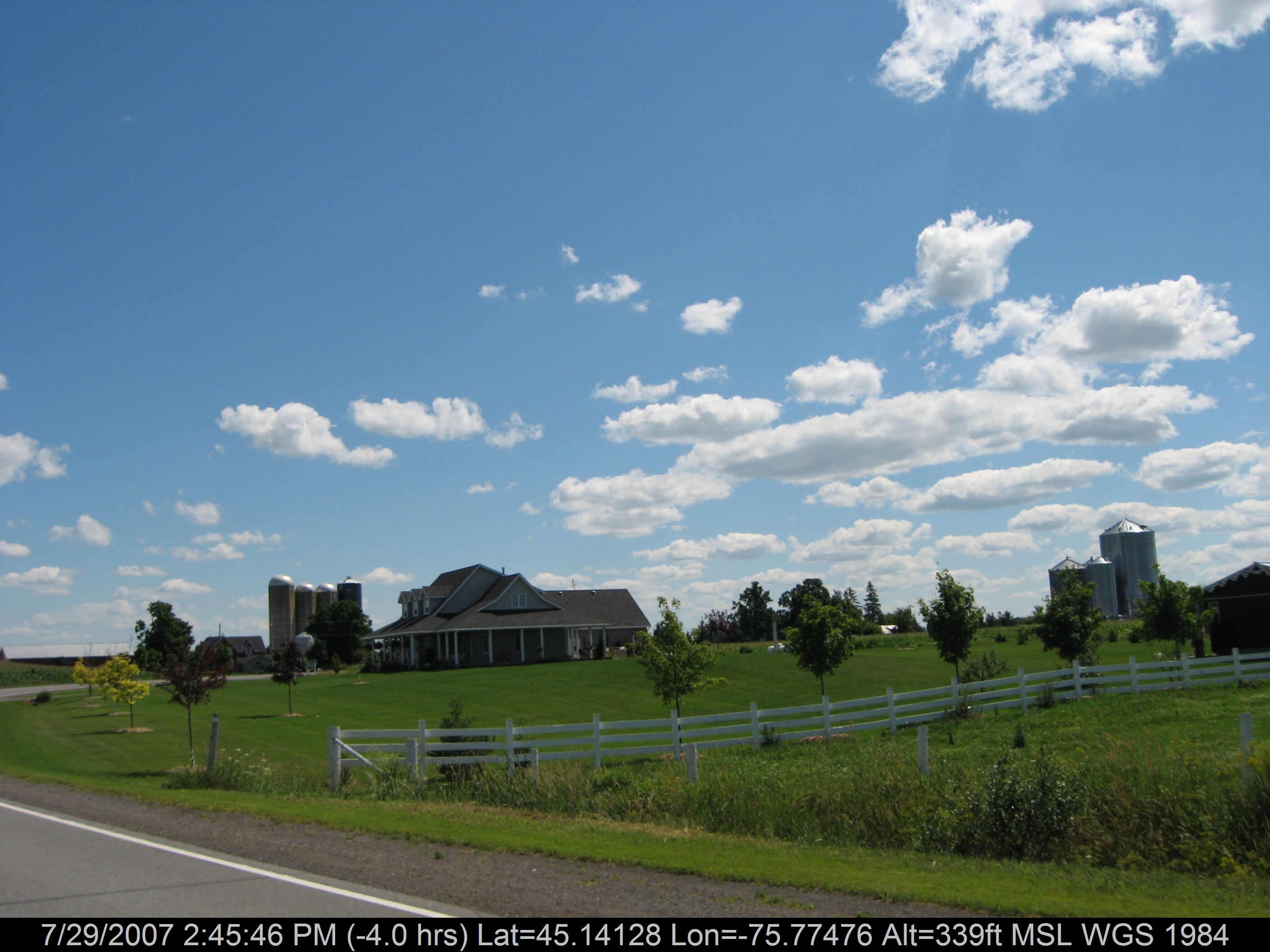
View through the windshield

Protector of the Pumpkins
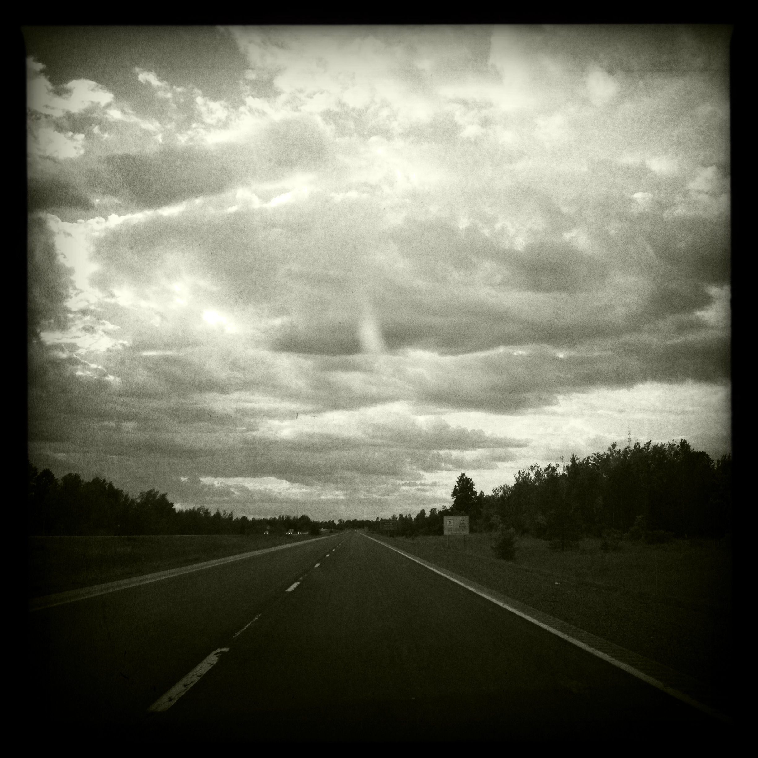
View through the windshield
Country living on the creek :)

Dew Drops
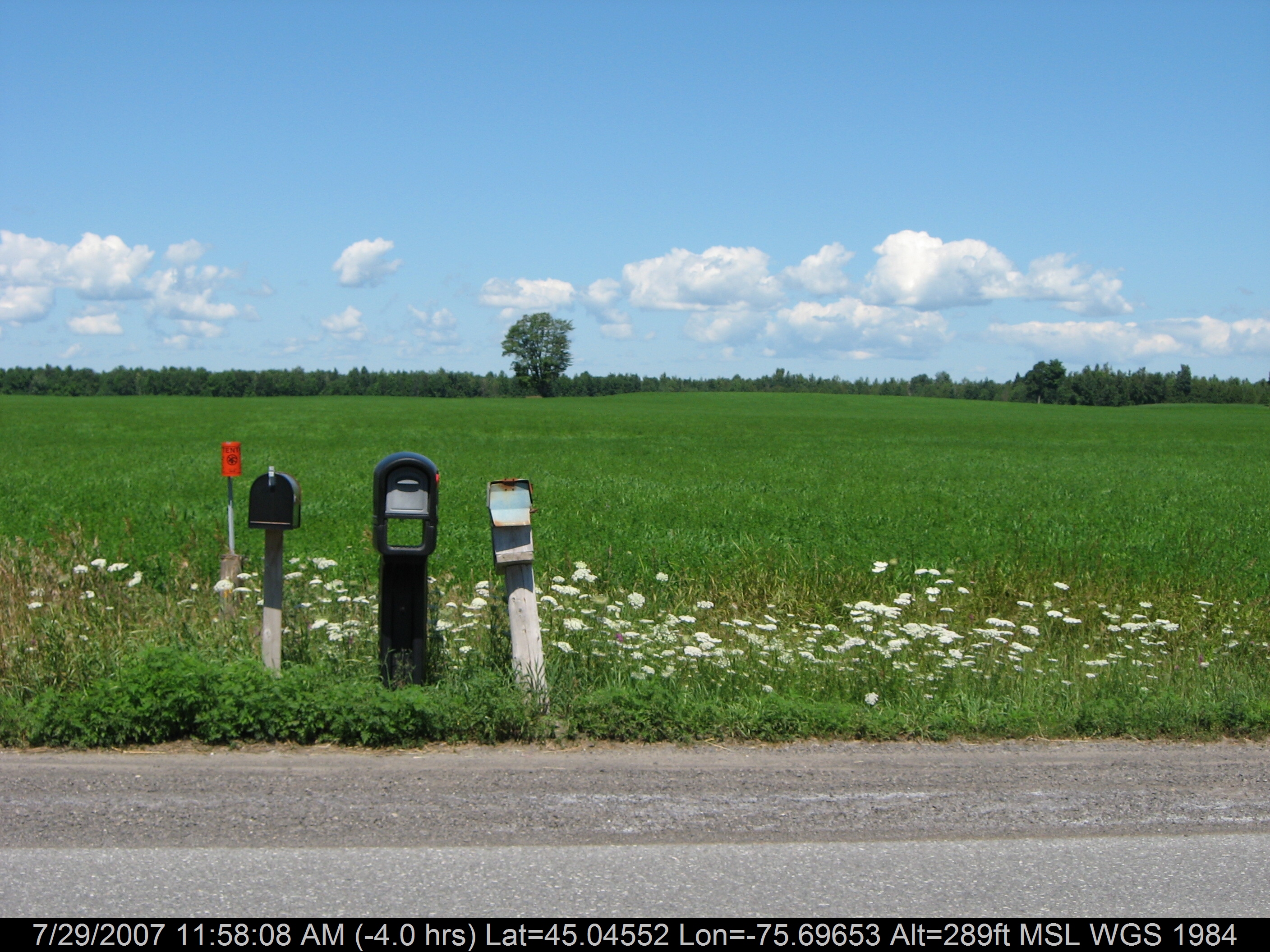
3 Mailboxes
Cabrelle in Summer
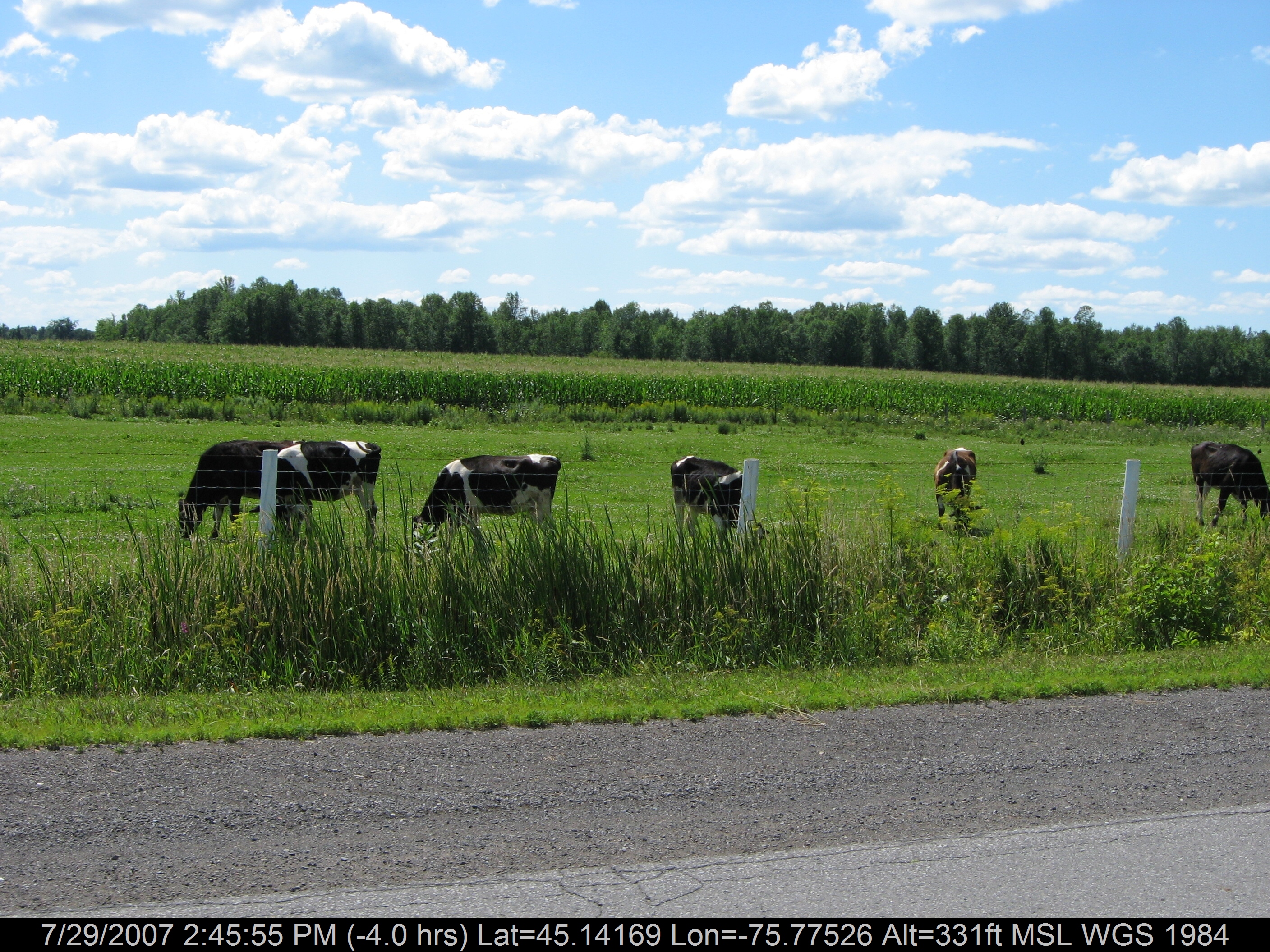
Happy Cows

Good Morning, Apocalypse

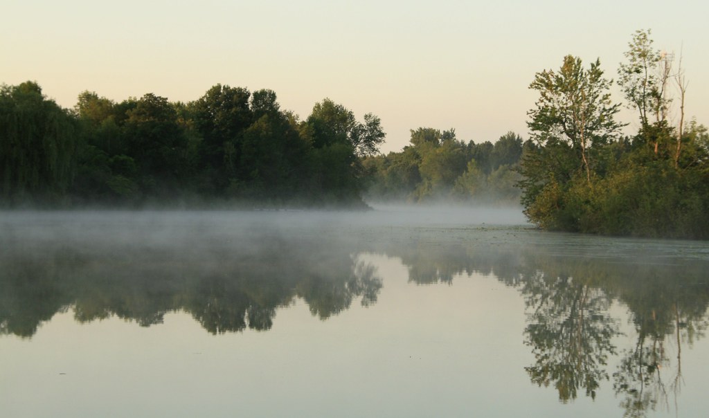
Sunset on the Kemptville Creek
World Trade Center - Ottawa

View of the #locks from the second floor of the #mill. #Rideau #river
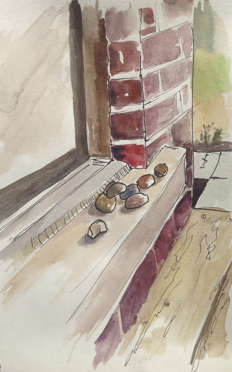
Rocks on the step
On the Road
Walking trail at Rideau River Provincial Park
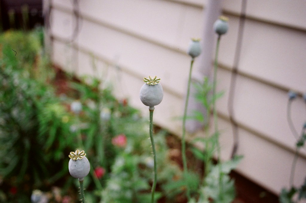
Poppy Pods

While Biking
Spike admires the view

North View from Dam

Lights and Shadows

On the way to the cottage

Watson's Mill
Miller's Farm
Going nowhere / Vers le grand nulle part

Warm sunset
Boggy landscape

Red barn quiet and serene
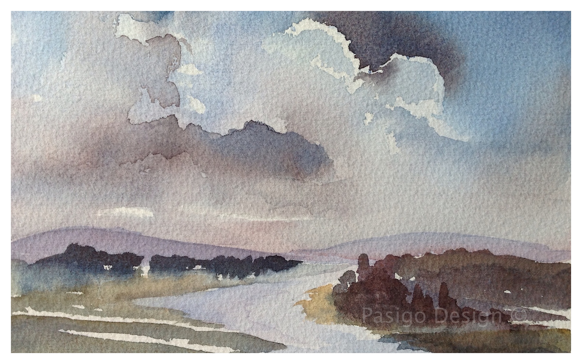
Distant hills
Cabrelle-winter

Watson's Mill

Desolate cityscape

Watson's Mill Spring 2014

Morning Grass 283/365

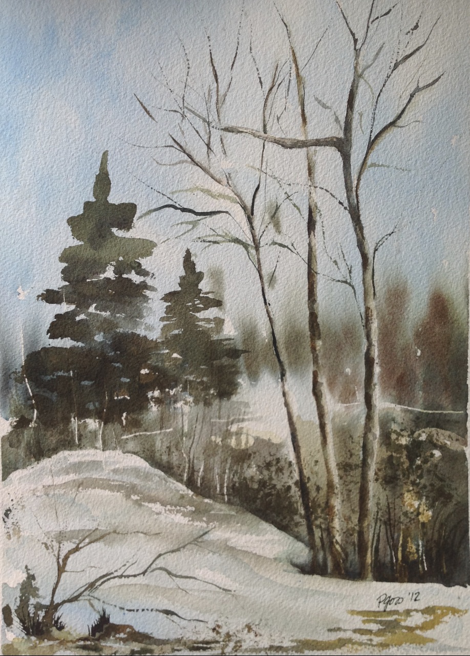
Rocks and trees
Topographic Map of Dilworth Rd, Kars, ON K0A 2E0, Canada
Find elevation by address:

Places near Dilworth Rd, Kars, ON K0A 2E0, Canada:
Dilworth Road
2422 Fairmile Rd
Hilly Lane South
1267 Hilly Ln
7683 Fairhurst Dr
Unnamed Road
3644 Nixon Dr
Kars
Merlyn Wilson Rd, Kemptville, ON K0G 1J0, Canada
Riverview Lane
Tradewinds Crescent
Tradewinds Crescent
Rideau River Road
2755 County Rd 43
Kars - Osgoode
River Rd, Kemptville, ON K0G 1J0, Canada
Curry Park
10 George St W
North Gower
Kemptville
Recent Searches:
- Elevation map of Greenland, Greenland
- Elevation of Sullivan Hill, New York, New York, 10002, USA
- Elevation of Morehead Road, Withrow Downs, Charlotte, Mecklenburg County, North Carolina, 28262, USA
- Elevation of 2800, Morehead Road, Withrow Downs, Charlotte, Mecklenburg County, North Carolina, 28262, USA
- Elevation of Yangbi Yi Autonomous County, Yunnan, China
- Elevation of Pingpo, Yangbi Yi Autonomous County, Yunnan, China
- Elevation of Mount Malong, Pingpo, Yangbi Yi Autonomous County, Yunnan, China
- Elevation map of Yongping County, Yunnan, China
- Elevation of North 8th Street, Palatka, Putnam County, Florida, 32177, USA
- Elevation of 107, Big Apple Road, East Palatka, Putnam County, Florida, 32131, USA
- Elevation of Jiezi, Chongzhou City, Sichuan, China
- Elevation of Chongzhou City, Sichuan, China
- Elevation of Huaiyuan, Chongzhou City, Sichuan, China
- Elevation of Qingxia, Chengdu, Sichuan, China
- Elevation of Corso Fratelli Cairoli, 35, Macerata MC, Italy
- Elevation of Tallevast Rd, Sarasota, FL, USA
- Elevation of 4th St E, Sonoma, CA, USA
- Elevation of Black Hollow Rd, Pennsdale, PA, USA
- Elevation of Oakland Ave, Williamsport, PA, USA
- Elevation of Pedrógão Grande, Portugal