Elevation of Kemptville, ON K0G, Canada
Location: Canada > Ontario > Leeds And Grenville United Counties > North Grenville >
Longitude: -75.645947
Latitude: 45.0163884
Elevation: 89m / 292feet
Barometric Pressure: 100KPa
Elevation Map:
Satellite Map:
Related Photos:
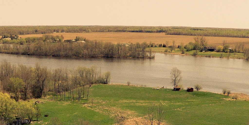
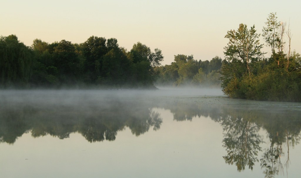
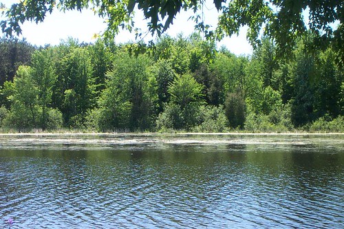
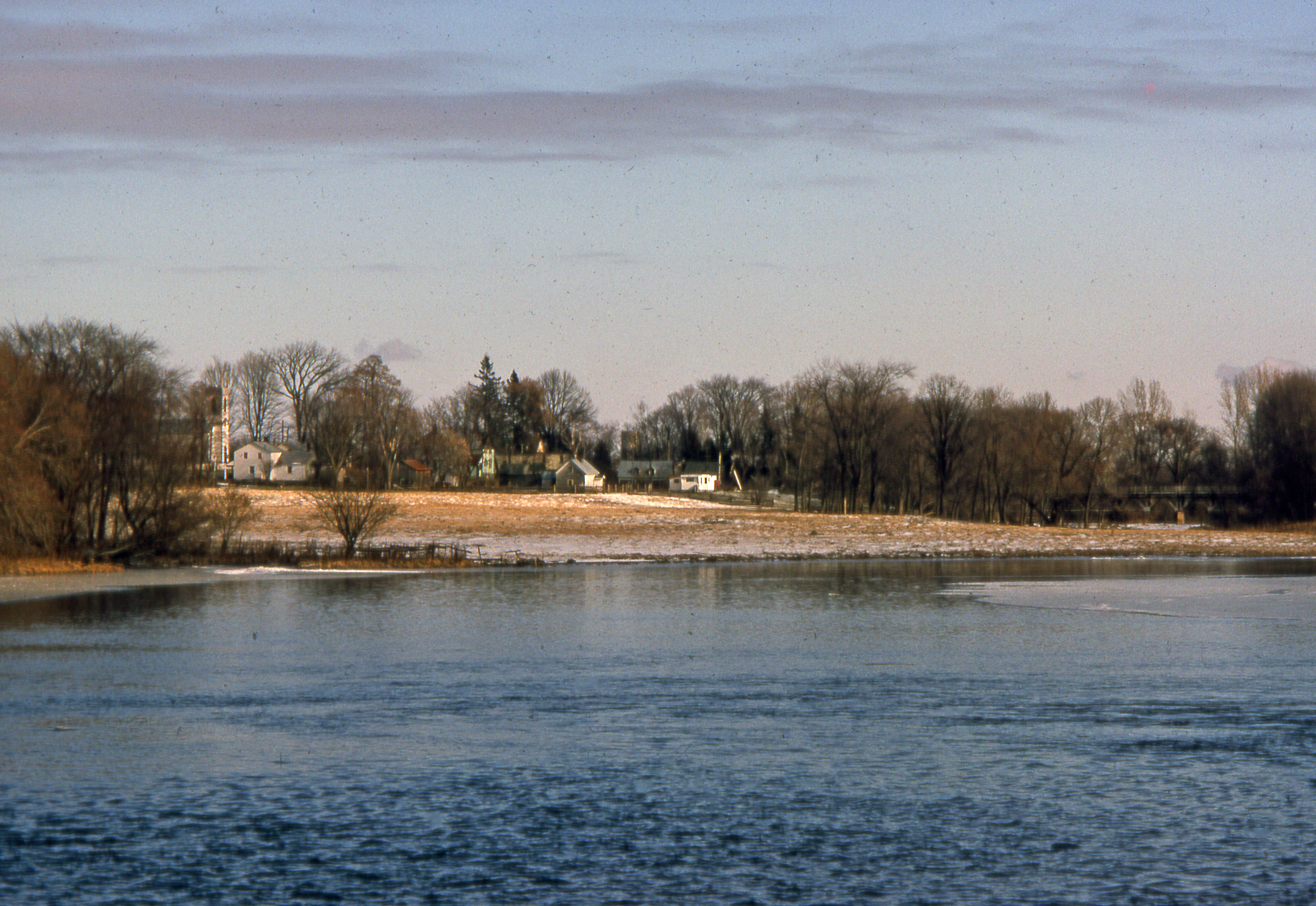
206/365: Rideau River Landscape
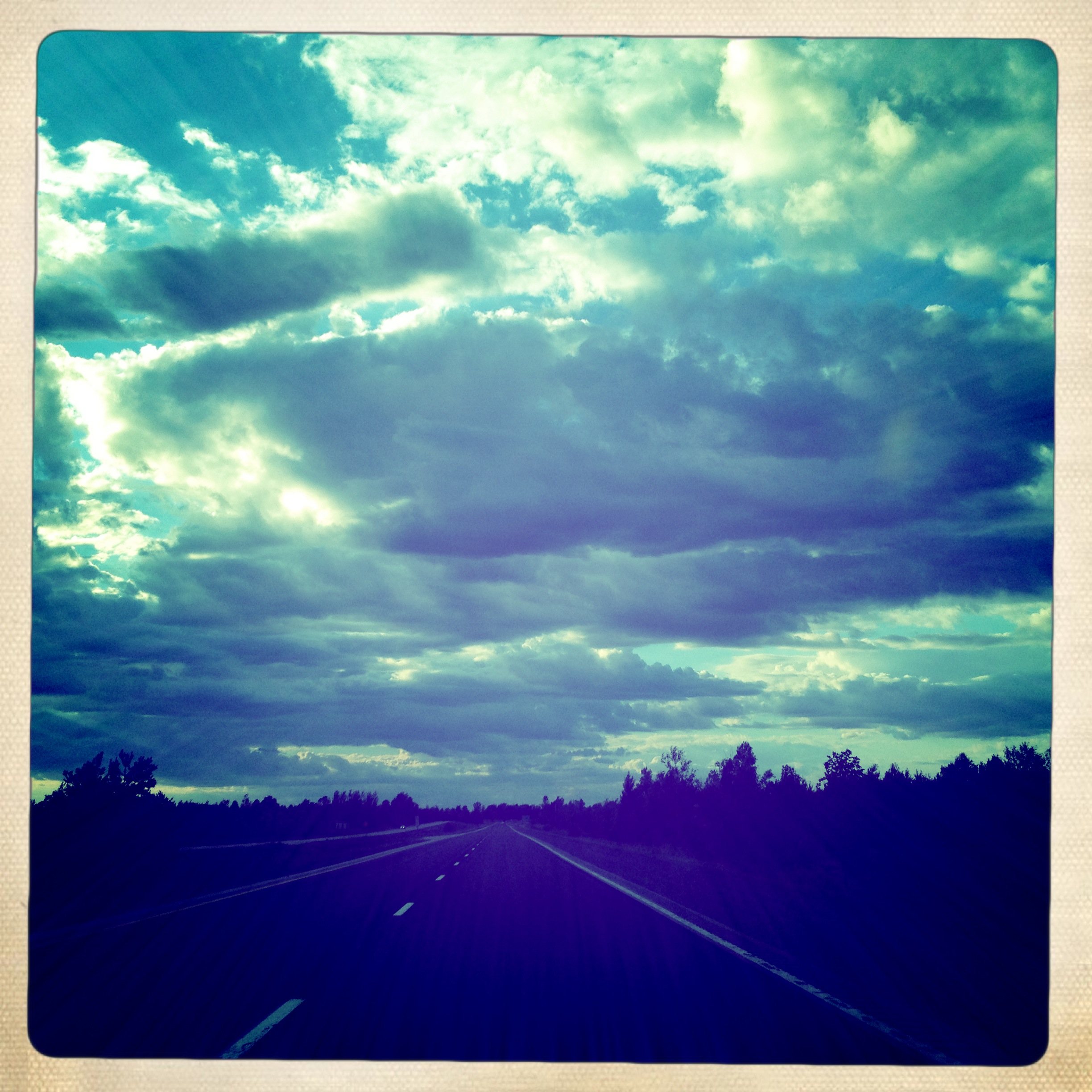
View through the windshield
Lock 17 Rideau River 234/365
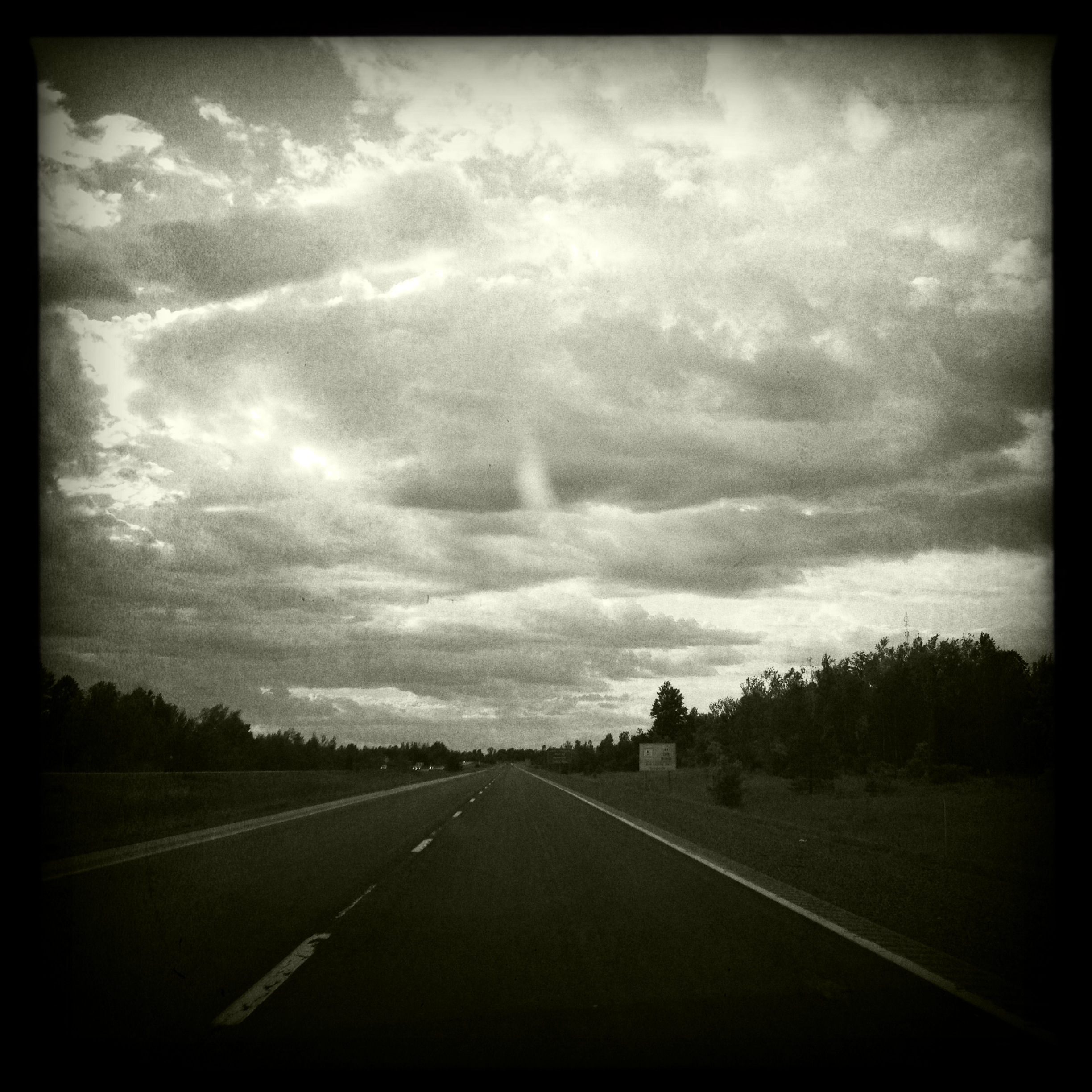
View through the windshield
Country living on the creek :)

Dew Drops
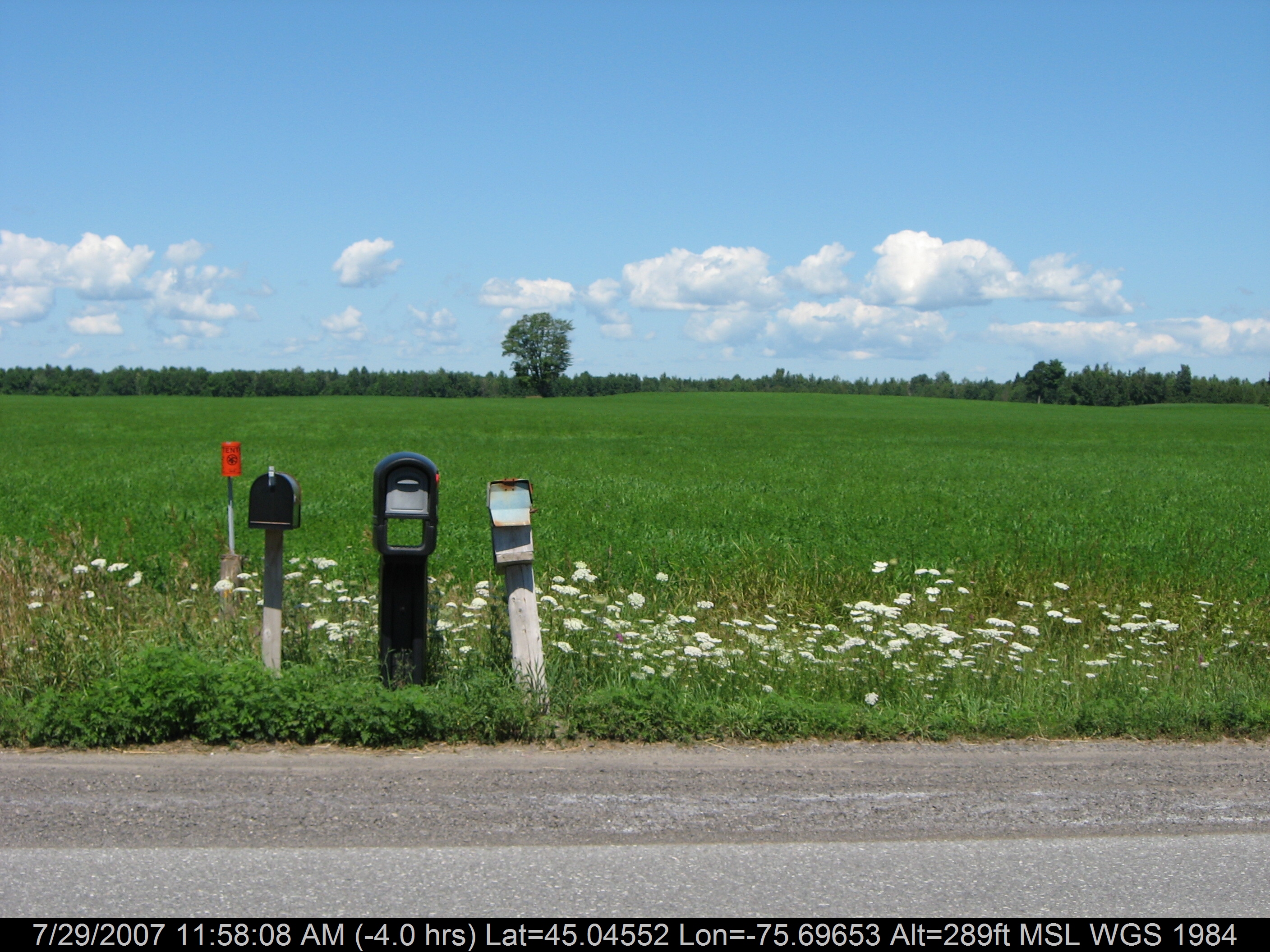
3 Mailboxes

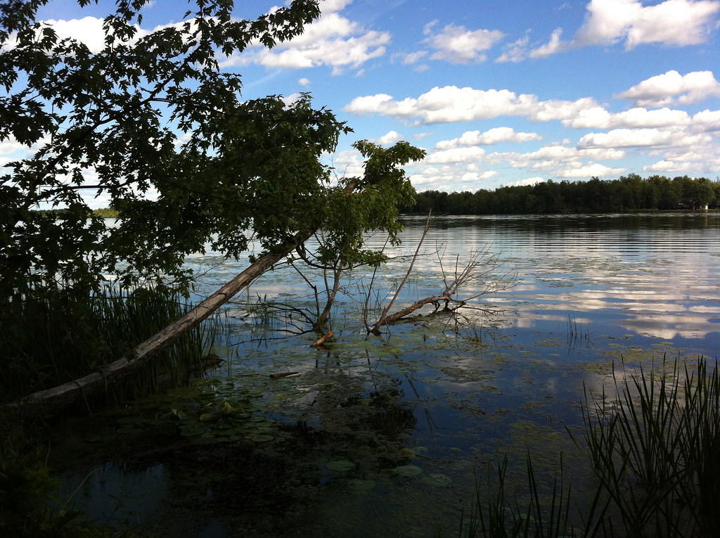
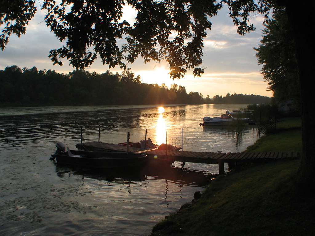
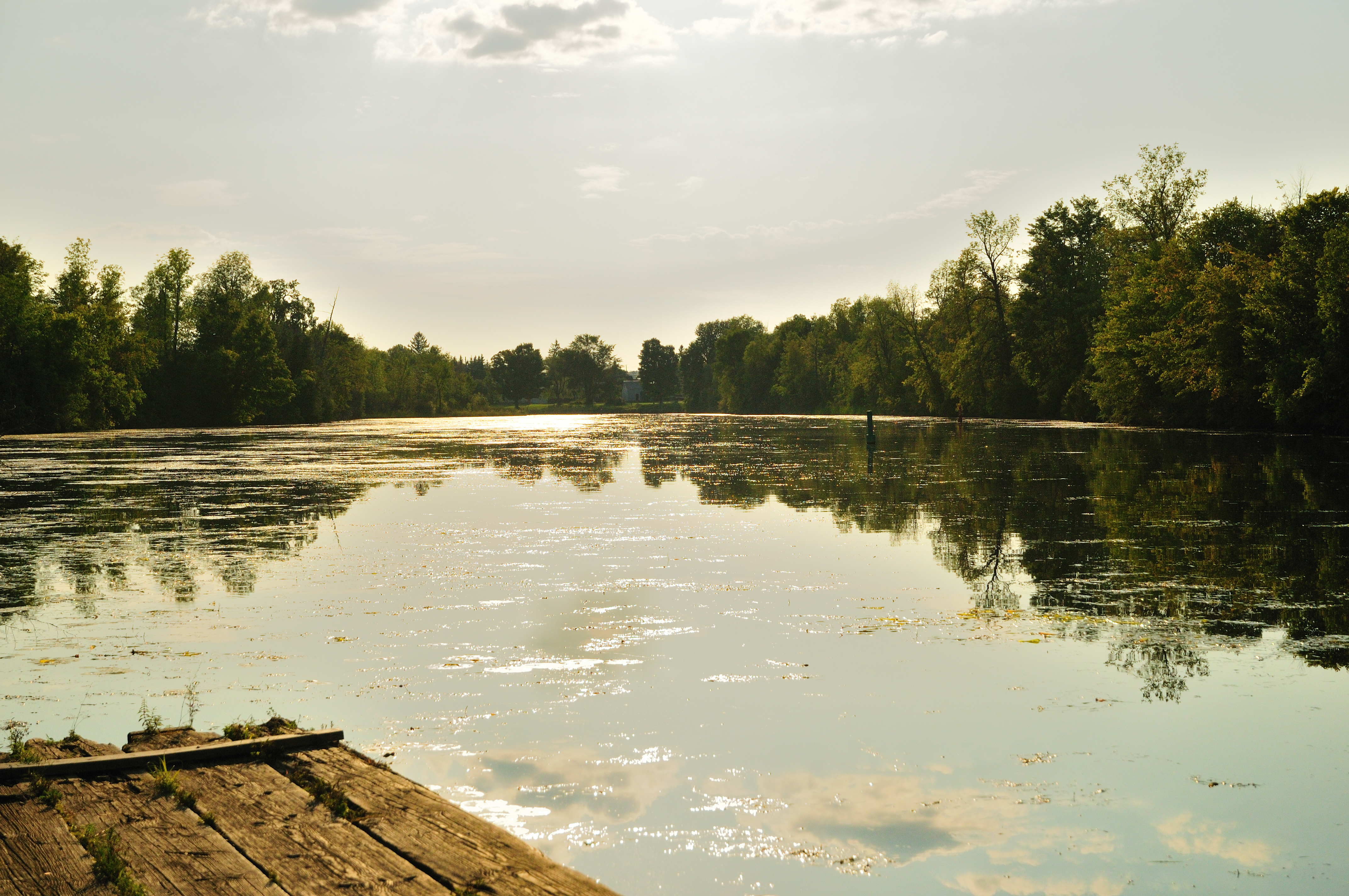
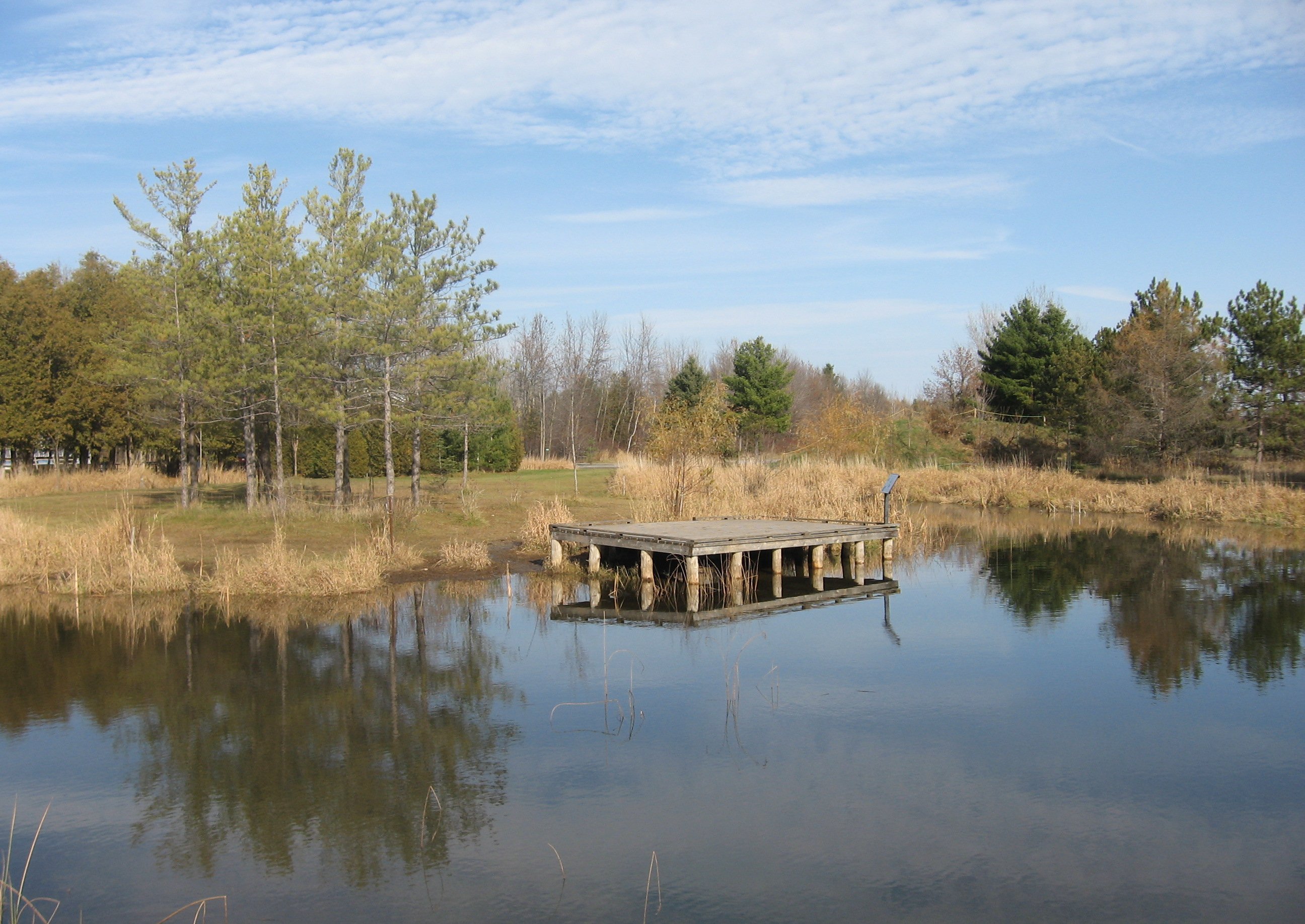
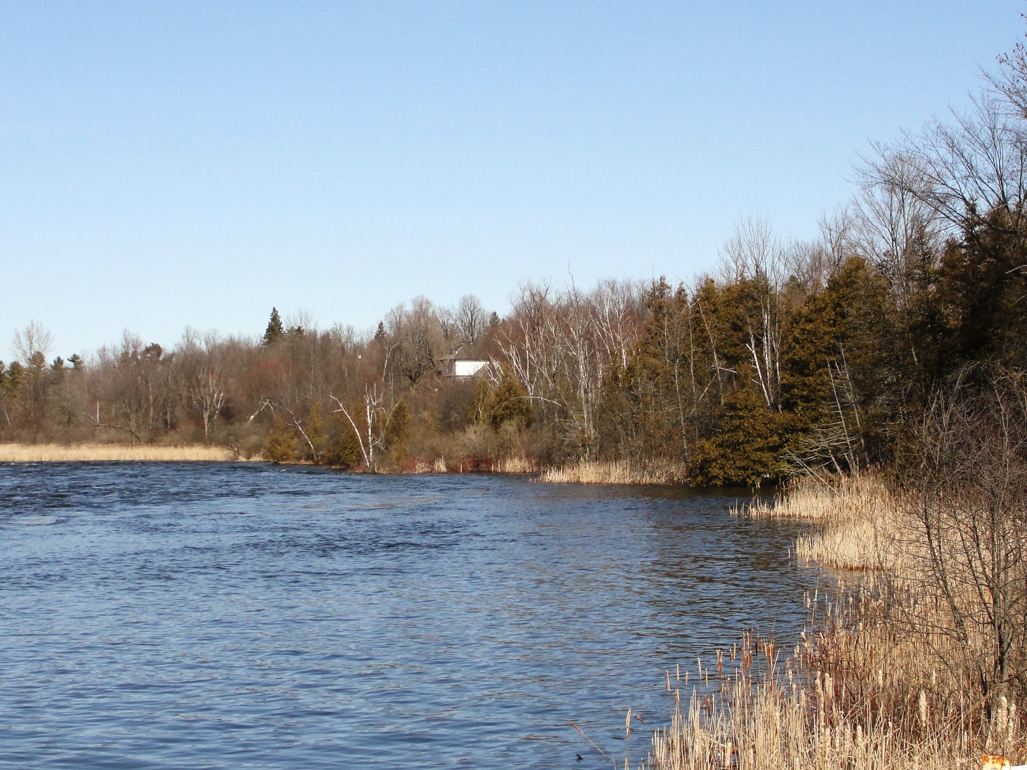
Sunset on the Kemptville Creek
Walking trail at Rideau River Provincial Park
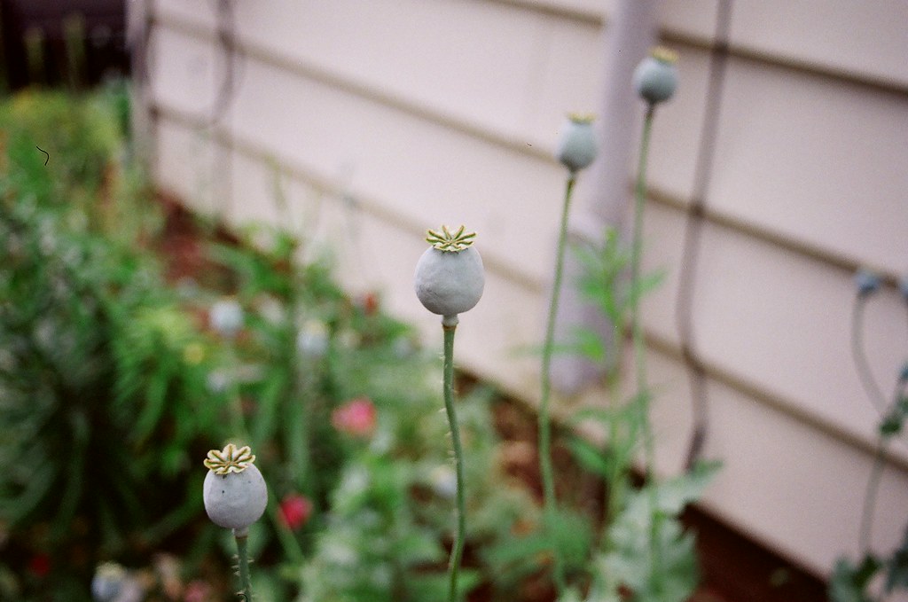
Poppy Pods
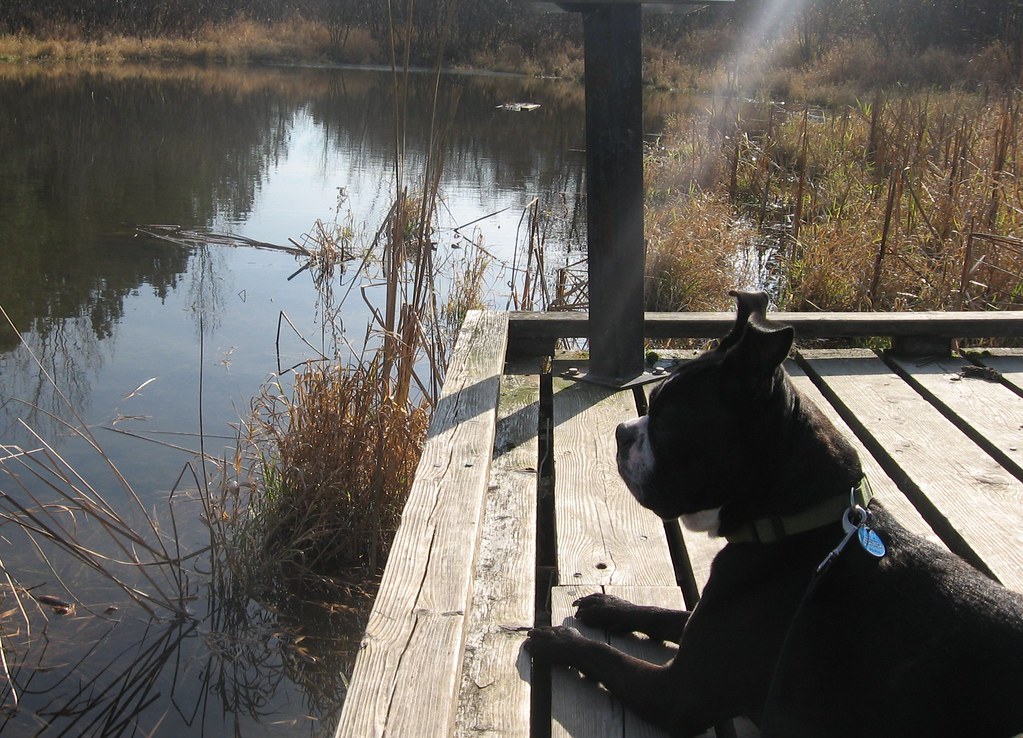
Spike admires the view
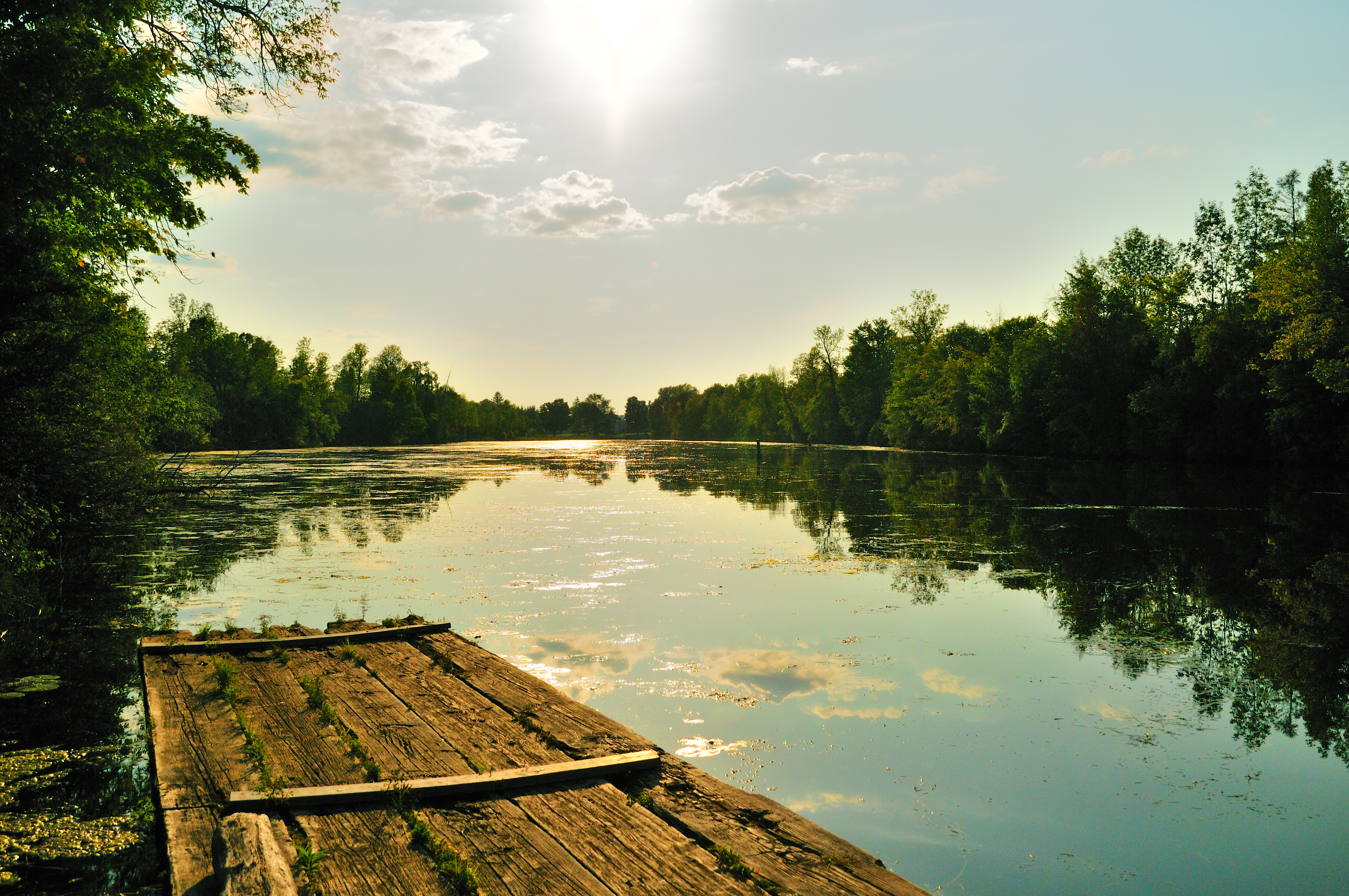
Another view of the Kemptville Creek at sunset
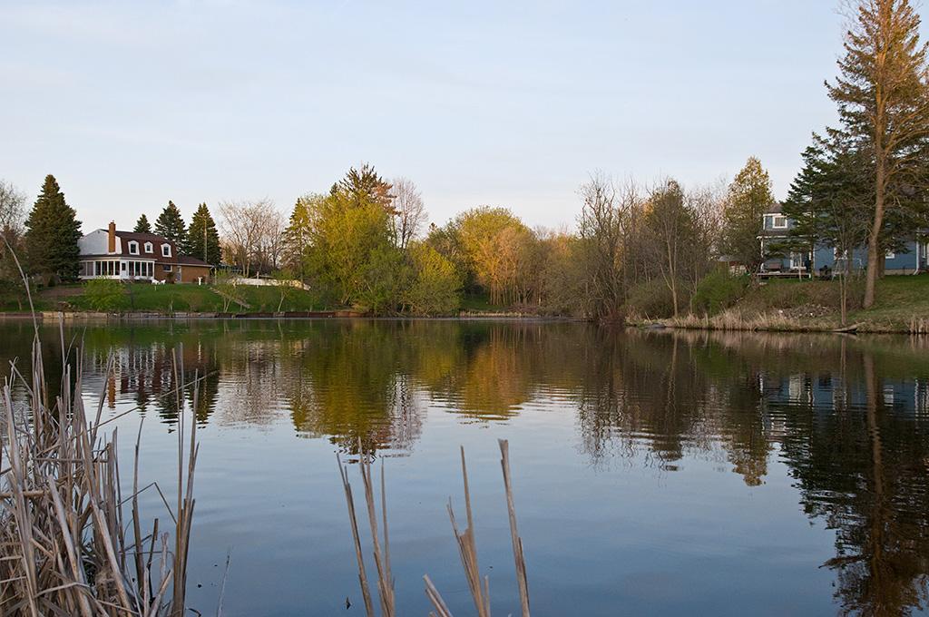
A view closer to the shoreline

Watch out Fly
River.. Again..
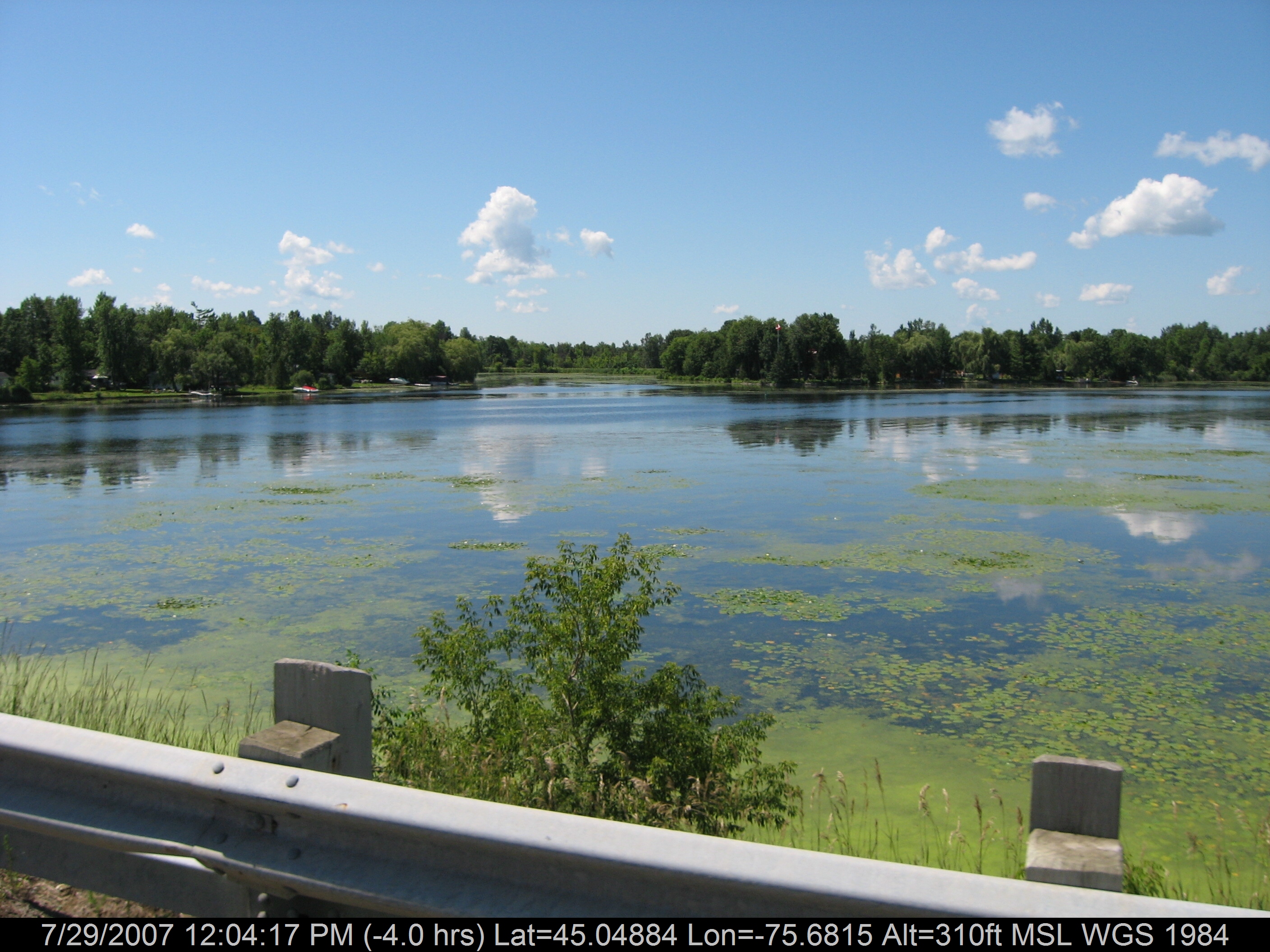
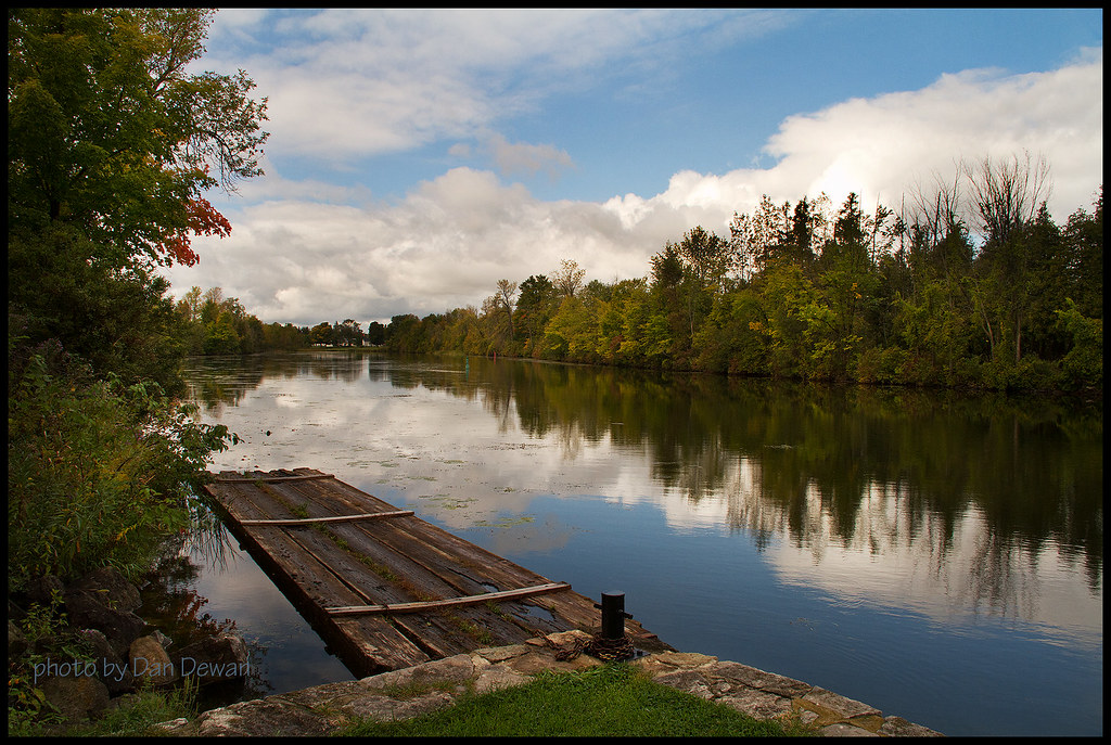
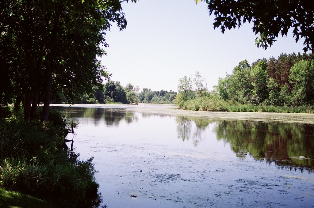
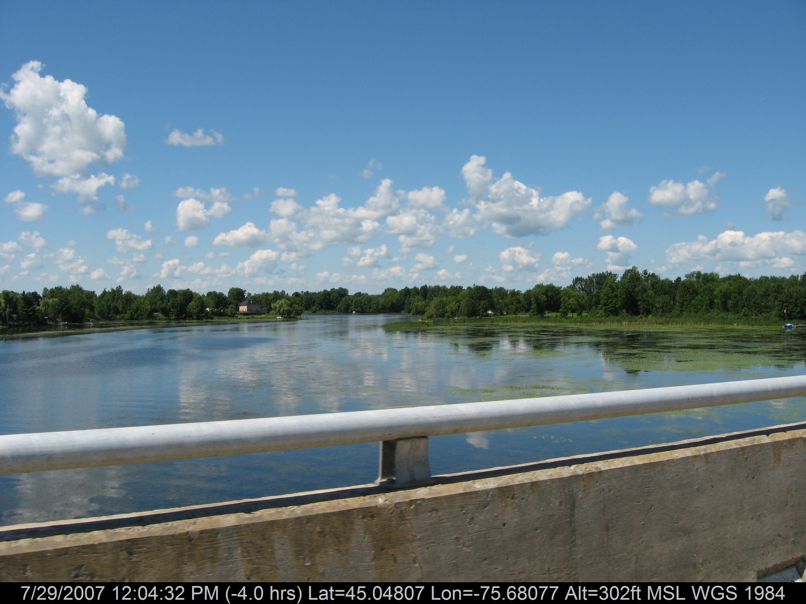
Rideau River
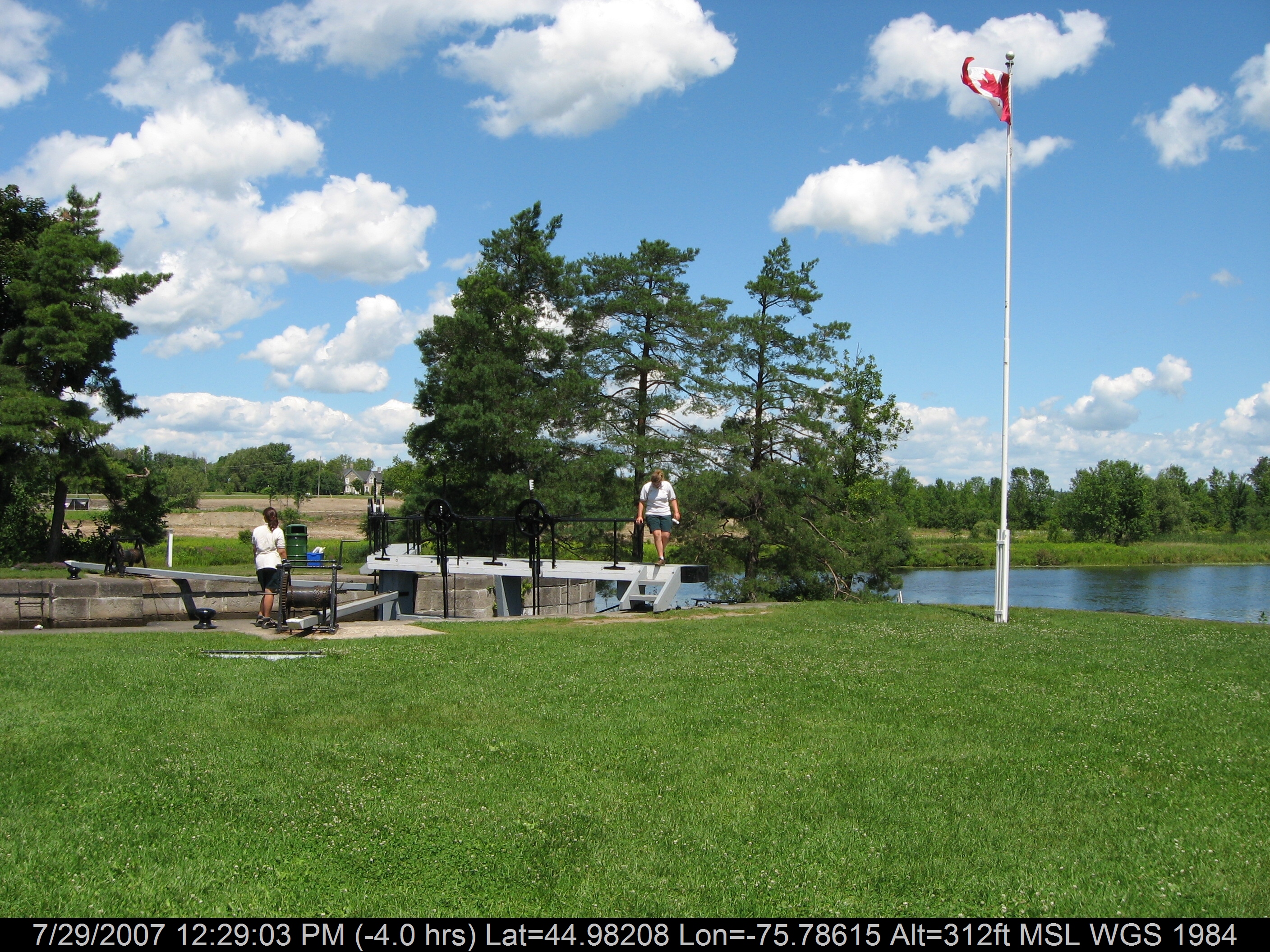
Locks Opening
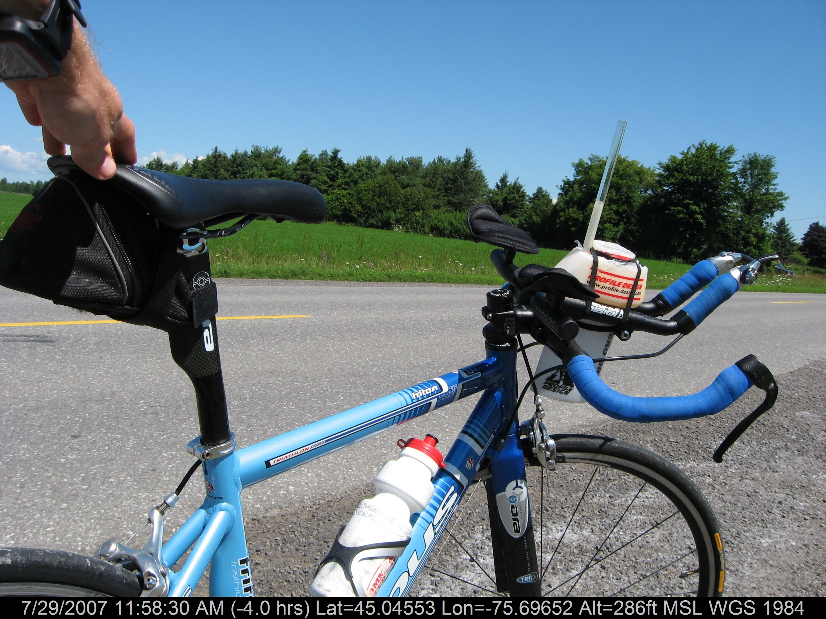
My Steed
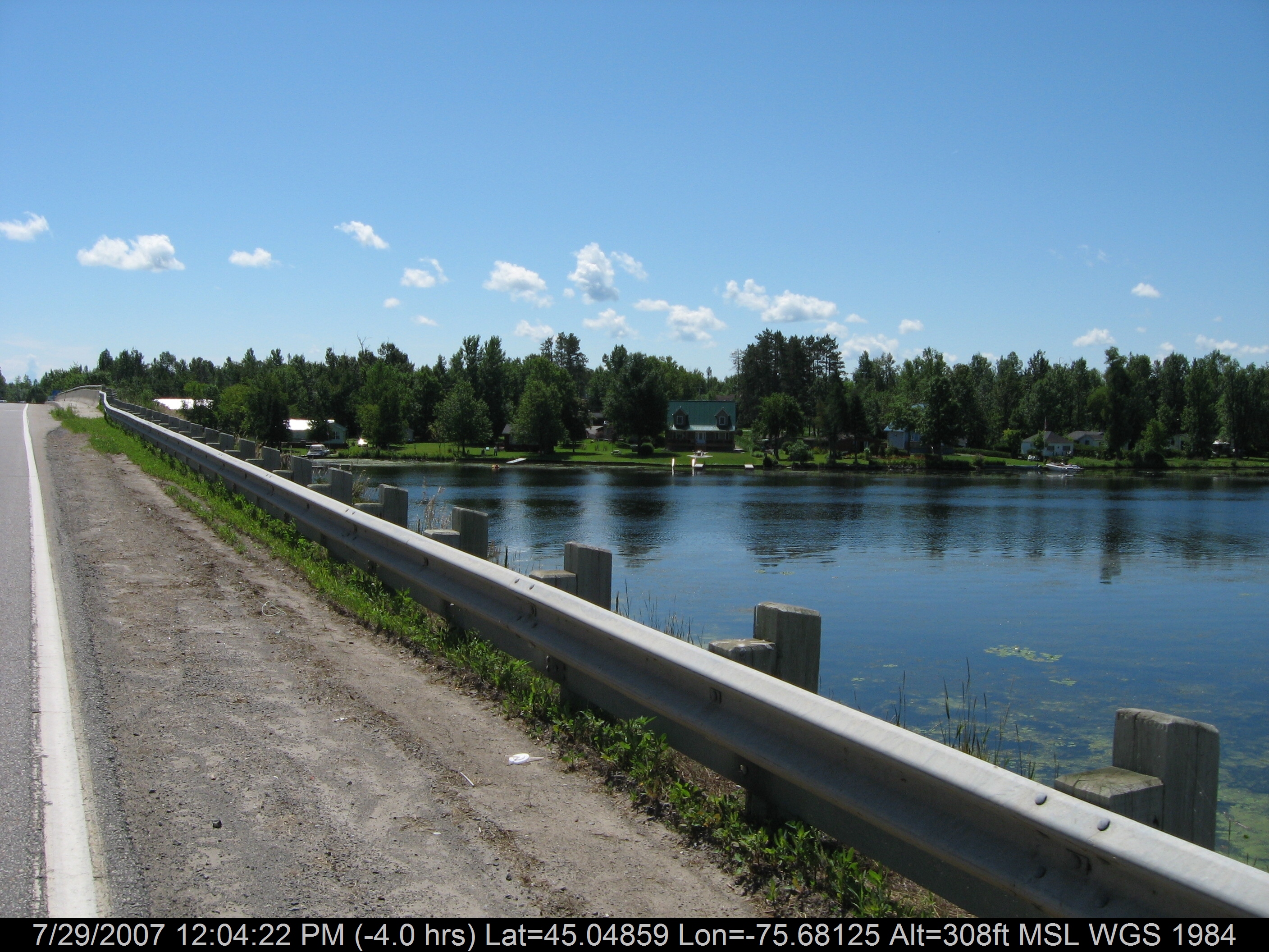
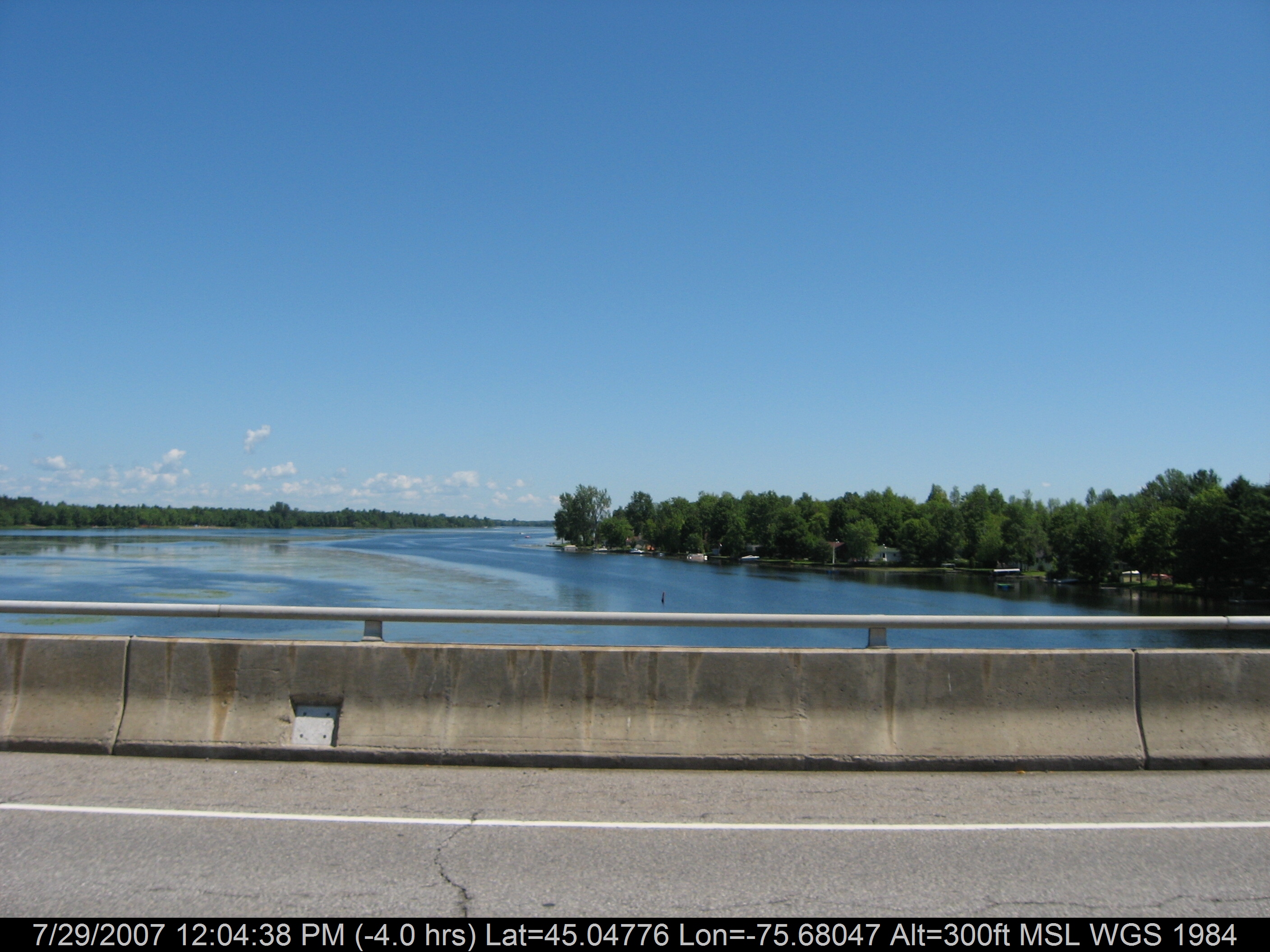
River Overpass
The view from my mother-in-laws back yard
RIver Crossing

This Old House
On the way to the cottage
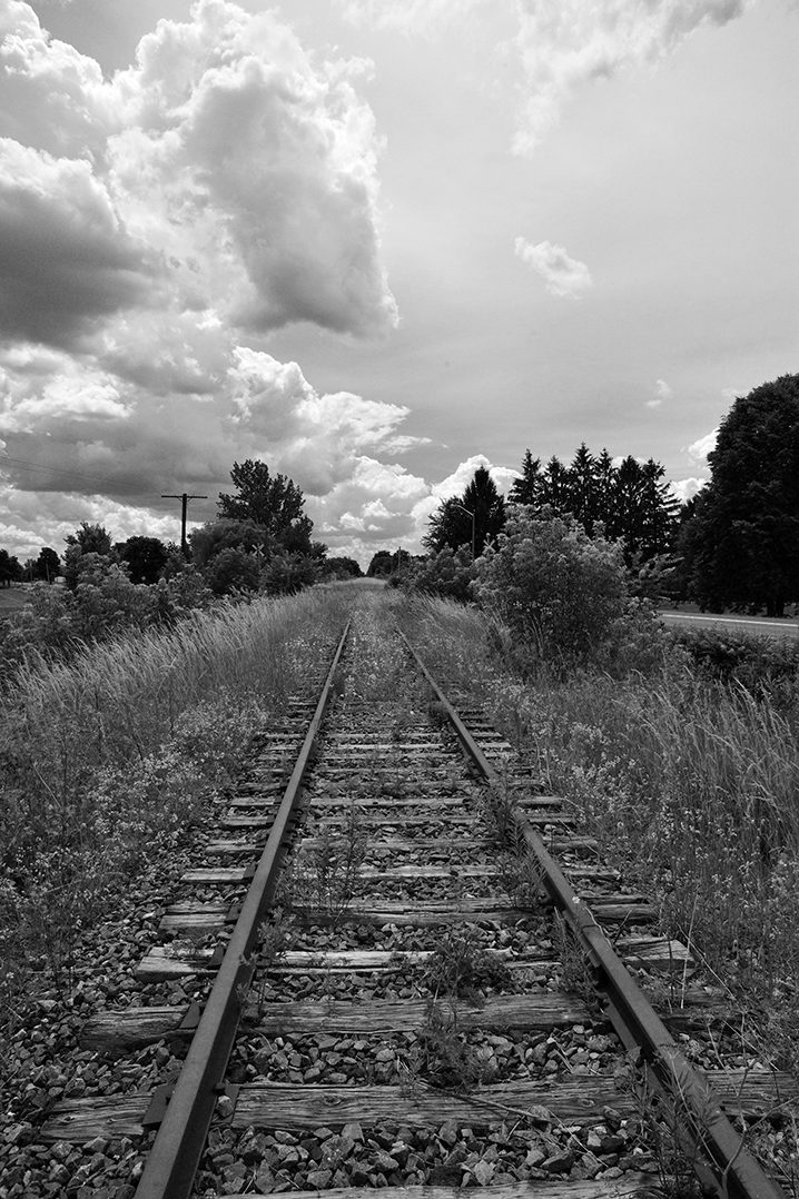
Going nowhere / Vers le grand nulle part
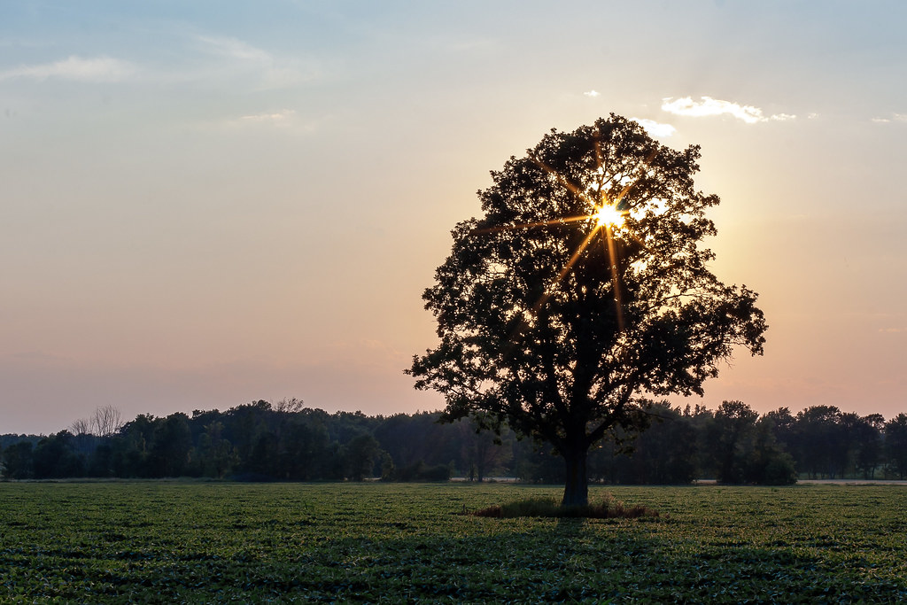
Sunset through the branches
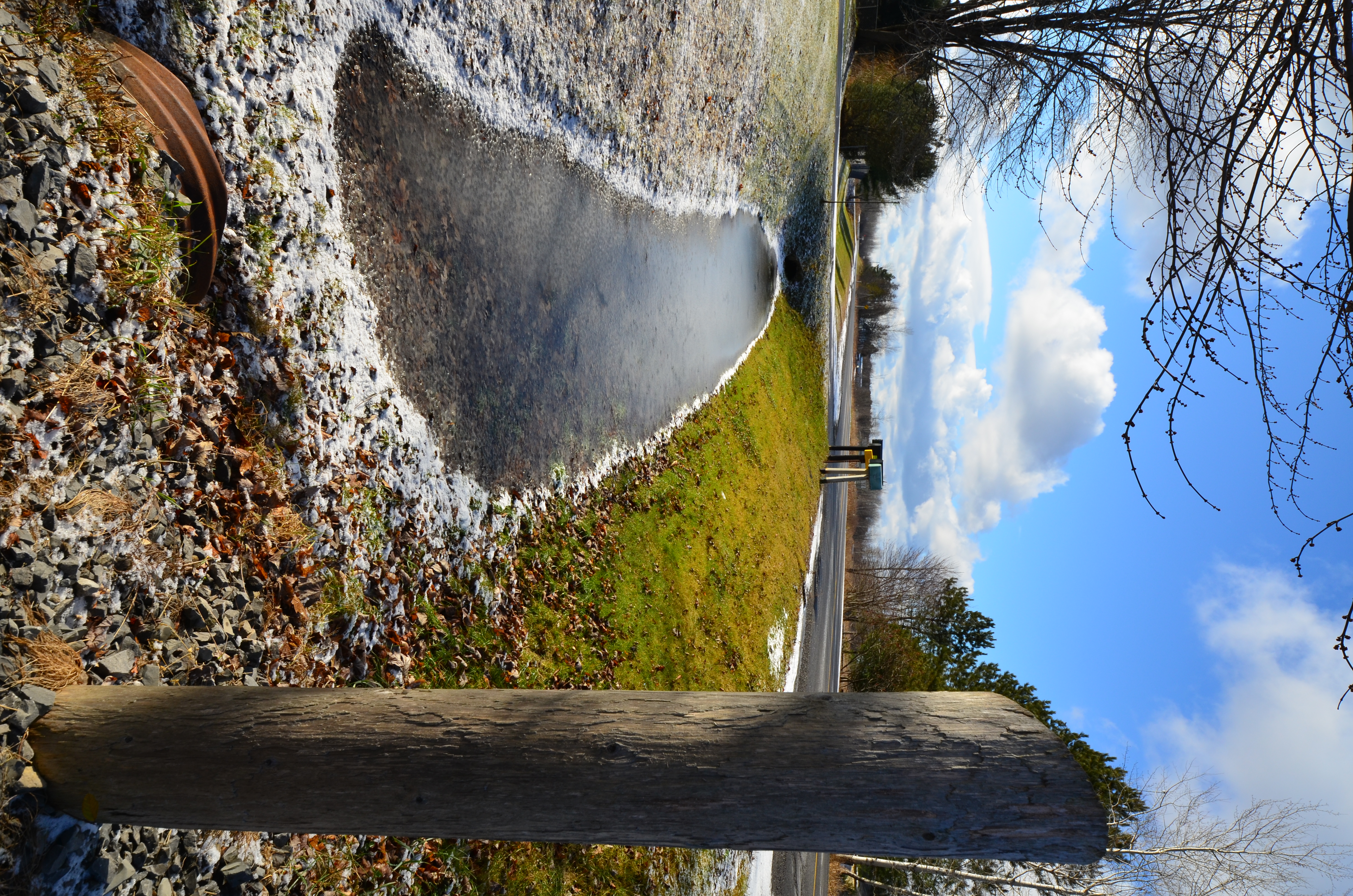
Snowmelt in the Ditch - Dilworth Road
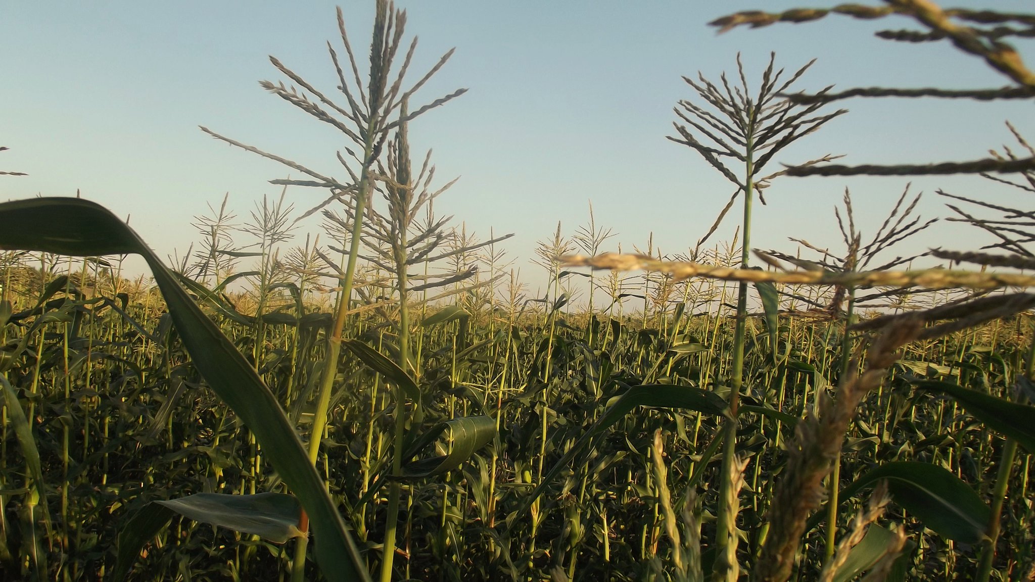
Corn Fields
Did I or Did I Not Jump In?
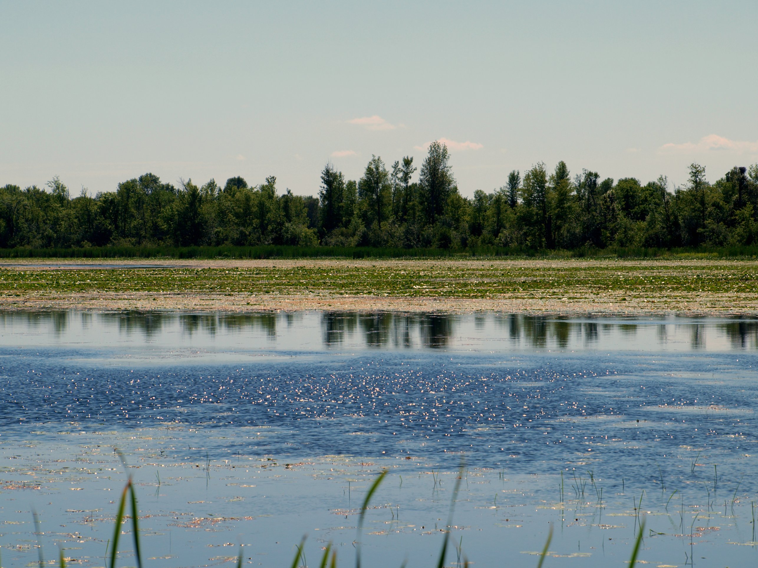
Late Summer
summer warmth
Curry Park
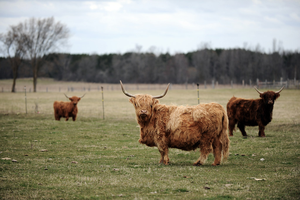
Wooly Bully

country life
Still nice enough for a walk at Baxter Conservation Area

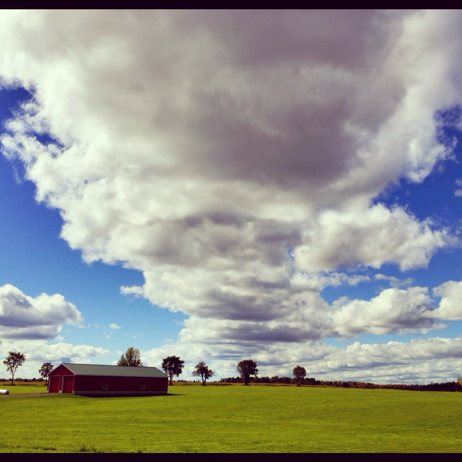
I've looked at clouds from both sides now
Burritts Rapids
All set
Kemptville Dairy Campus
Burritt's Rapids 3
Topographic Map of Kemptville, ON K0G, Canada
Find elevation by address:

Places in Kemptville, ON K0G, Canada:
River Rd, Kemptville, ON K0G 1J0, Canada
Tradewinds Crescent
Tradewinds Crescent
Hilly Lane South
Riverview Lane
Rideau River Road
Places near Kemptville, ON K0G, Canada:
10 George St W
Curry Park
2755 County Rd 43
Riverview Lane
Rideau River Road
3089 Marlin Rd
Tradewinds Crescent
Tradewinds Crescent
1267 Hilly Ln
Hilly Lane South
River Rd, Kemptville, ON K0G 1J0, Canada
Unnamed Road
2422 Fairmile Rd
Merlyn Wilson Rd, Kemptville, ON K0G 1J0, Canada
7683 Fairhurst Dr
Dilworth Road
Dilworth Rd, Kars, ON K0A 2E0, Canada
3644 Nixon Dr
7038 Gallagher Rd
Church Street
Recent Searches:
- Elevation of Corso Fratelli Cairoli, 35, Macerata MC, Italy
- Elevation of Tallevast Rd, Sarasota, FL, USA
- Elevation of 4th St E, Sonoma, CA, USA
- Elevation of Black Hollow Rd, Pennsdale, PA, USA
- Elevation of Oakland Ave, Williamsport, PA, USA
- Elevation of Pedrógão Grande, Portugal
- Elevation of Klee Dr, Martinsburg, WV, USA
- Elevation of Via Roma, Pieranica CR, Italy
- Elevation of Tavkvetili Mountain, Georgia
- Elevation of Hartfords Bluff Cir, Mt Pleasant, SC, USA