Elevation map of Leeds and Grenville United Counties, ON, Canada
Location: Canada > Ontario >
Longitude: -75.932700
Latitude: 44.6529659
Elevation: 122m / 400feet
Barometric Pressure: 100KPa
Elevation Map:
Satellite Map:
Related Photos:
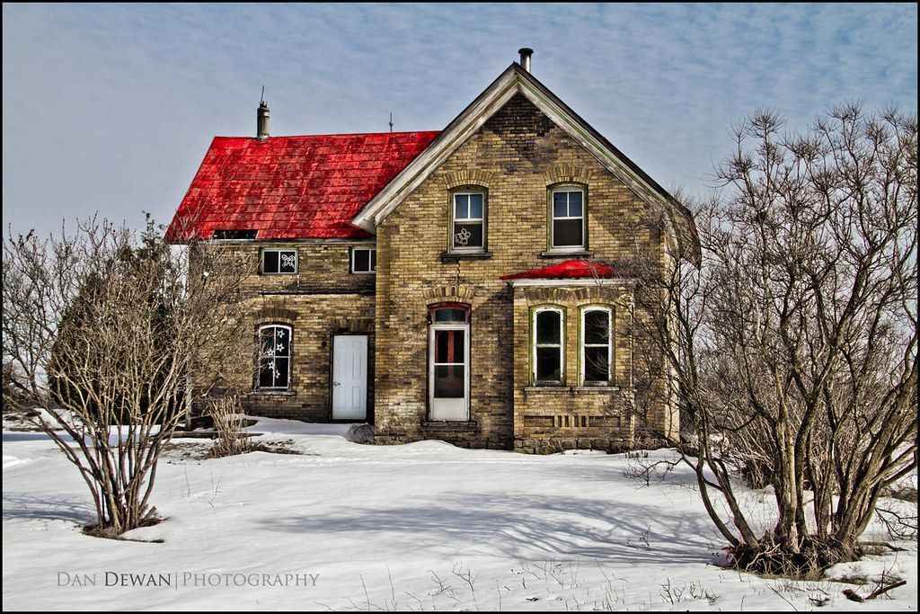
Old farm House 57-365

House of Industry

A "Willing" Subject

Emily 2
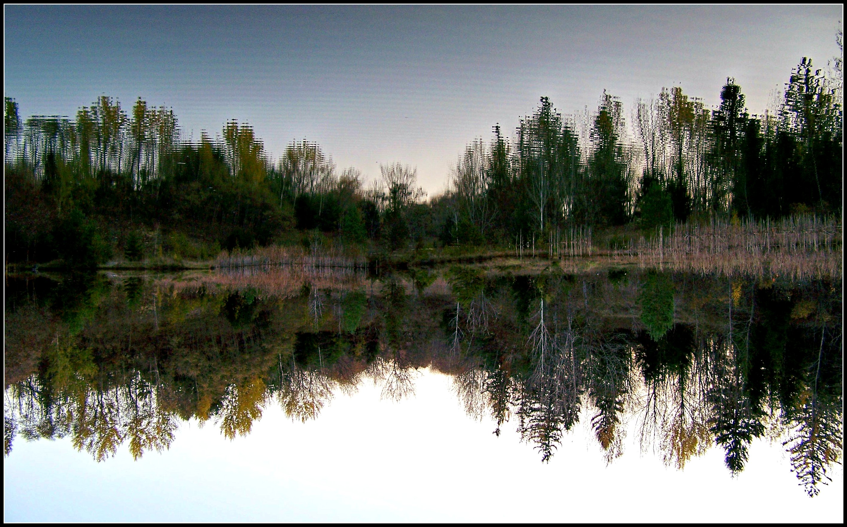
Downside up
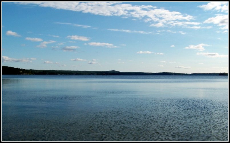
Charleston Lake
Entrance to Mud Bay, Charleston Lake, ON
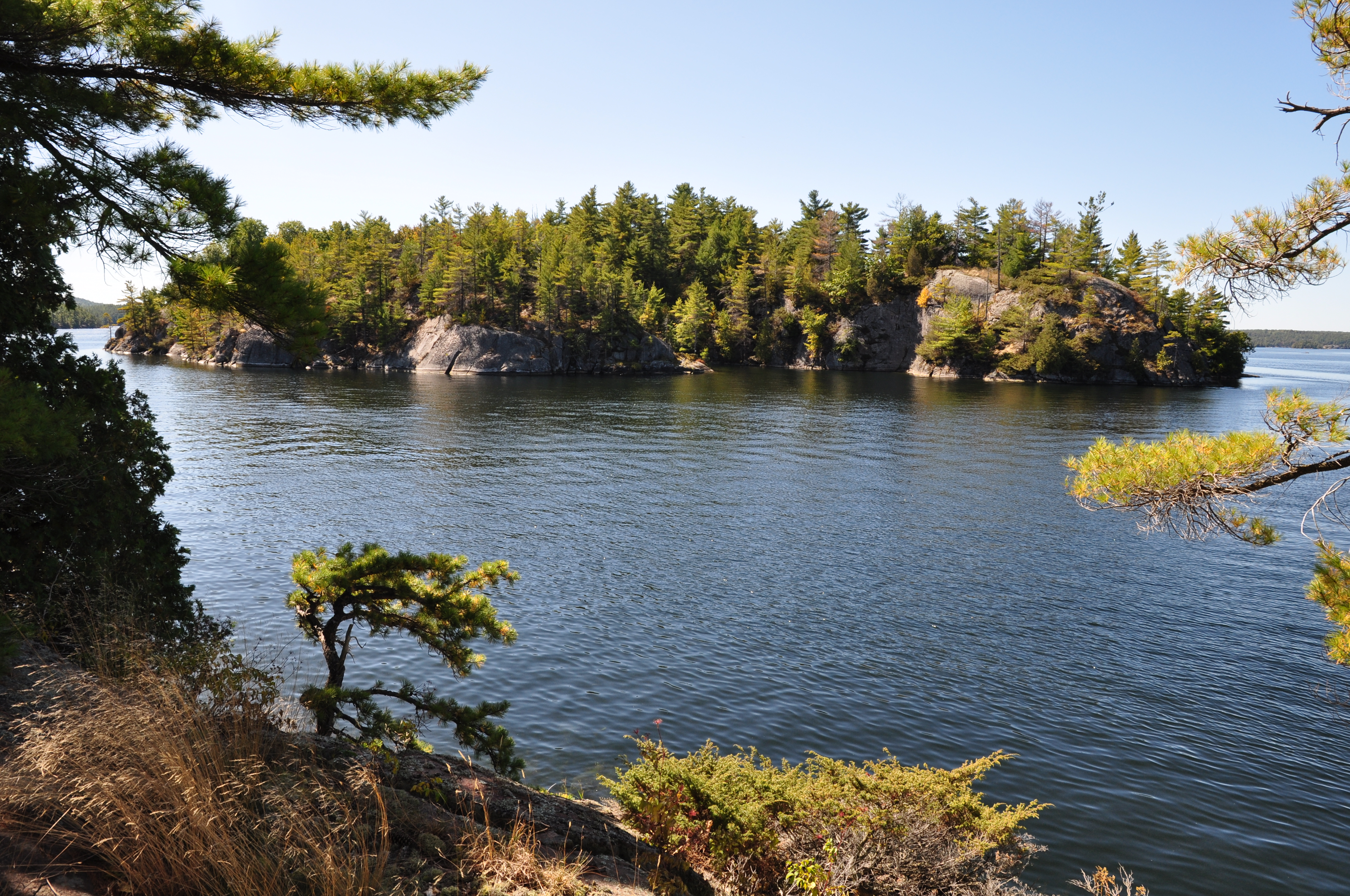
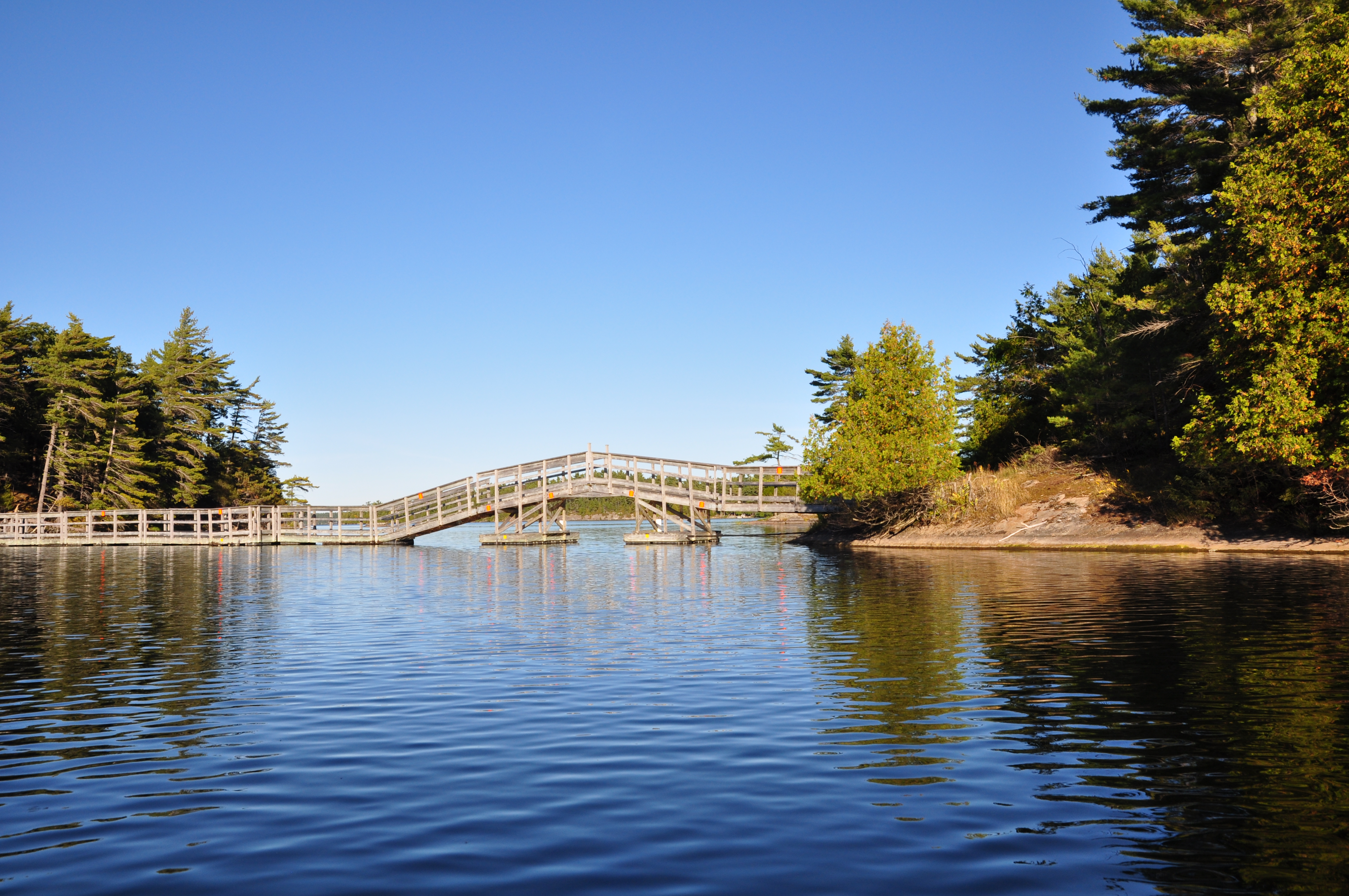
Channel on Charleston Lake, ON

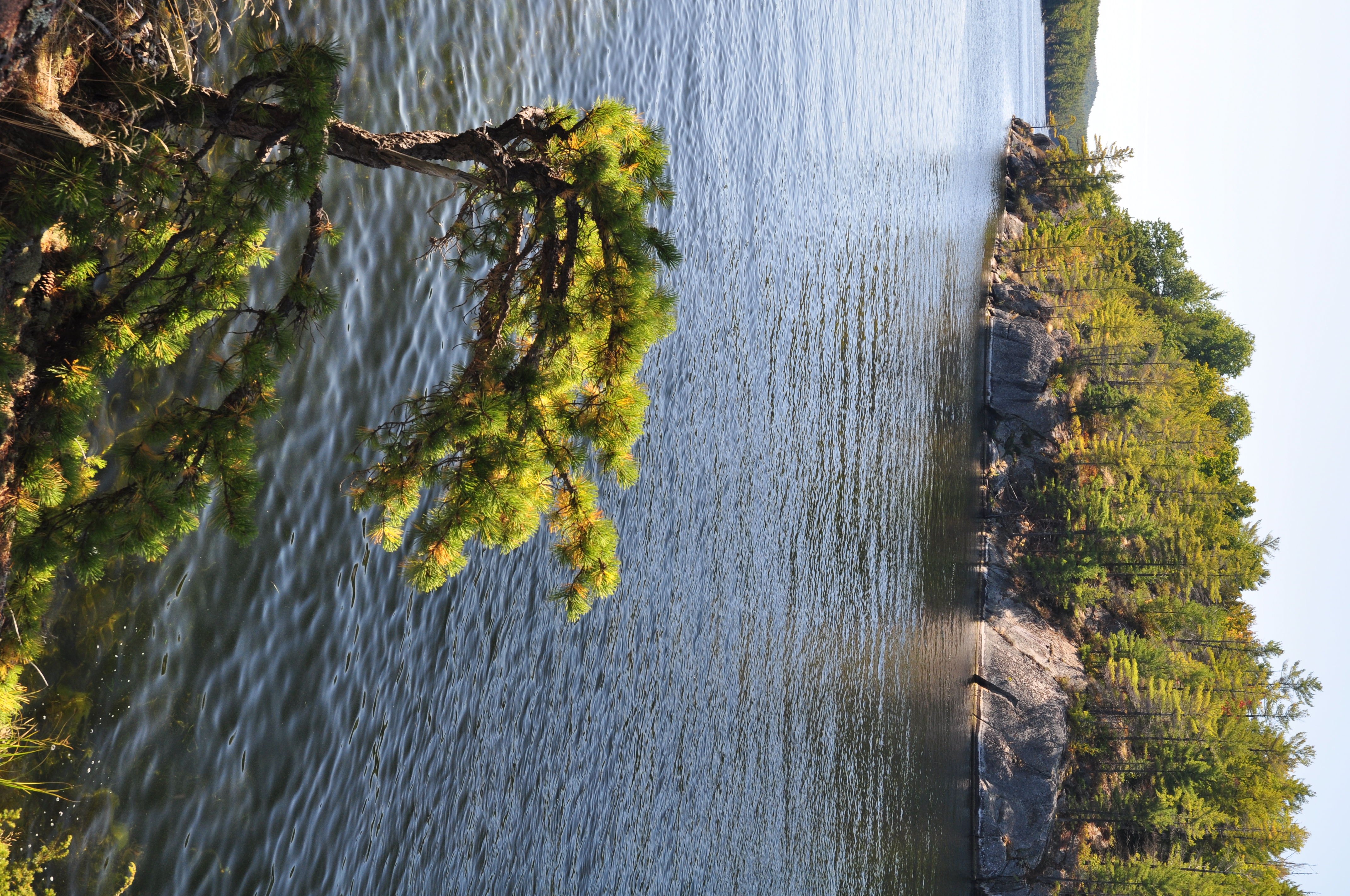
Charleston Lake
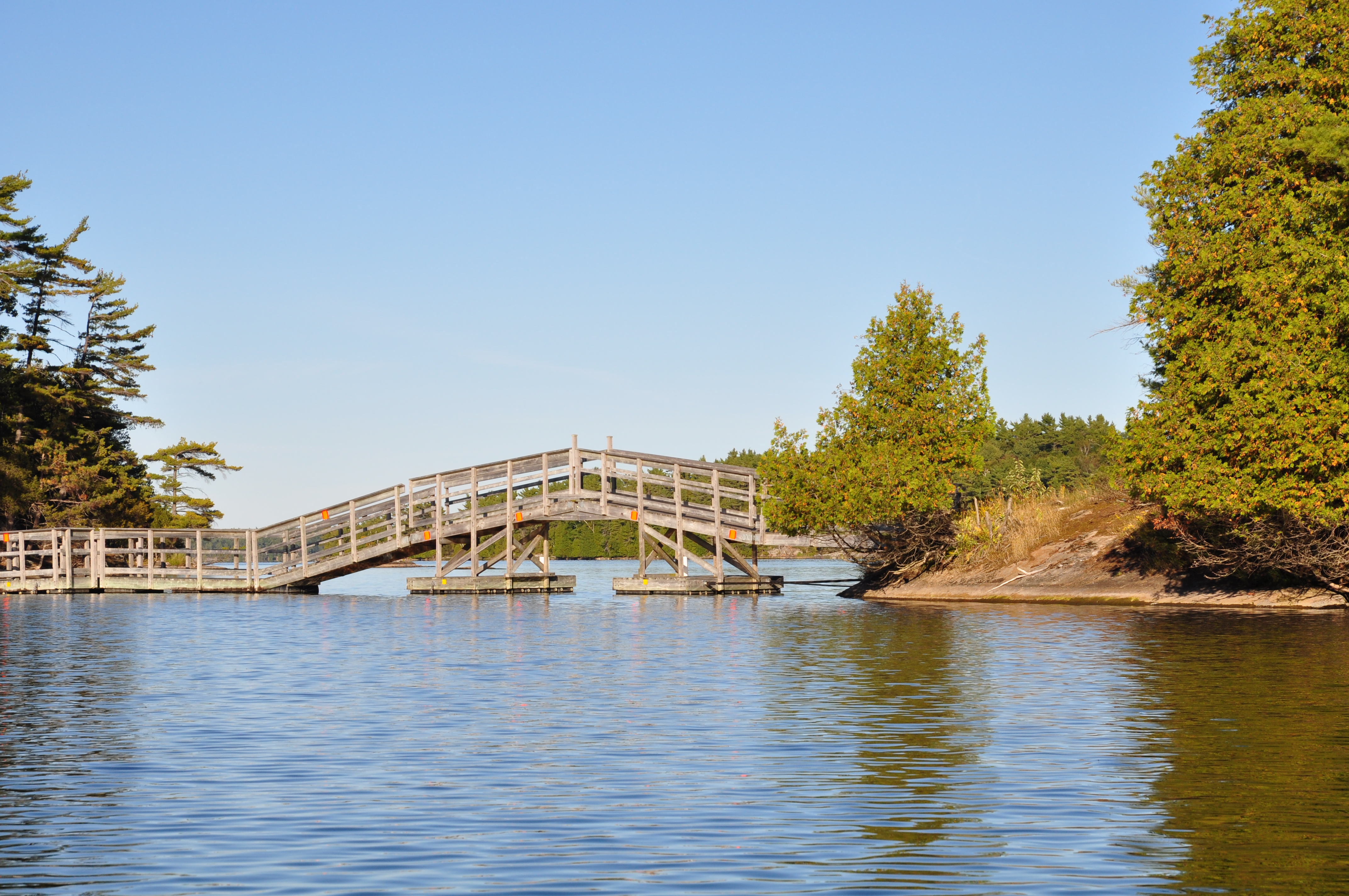
Entrance to Mud Bay, Charleston Lake, ON
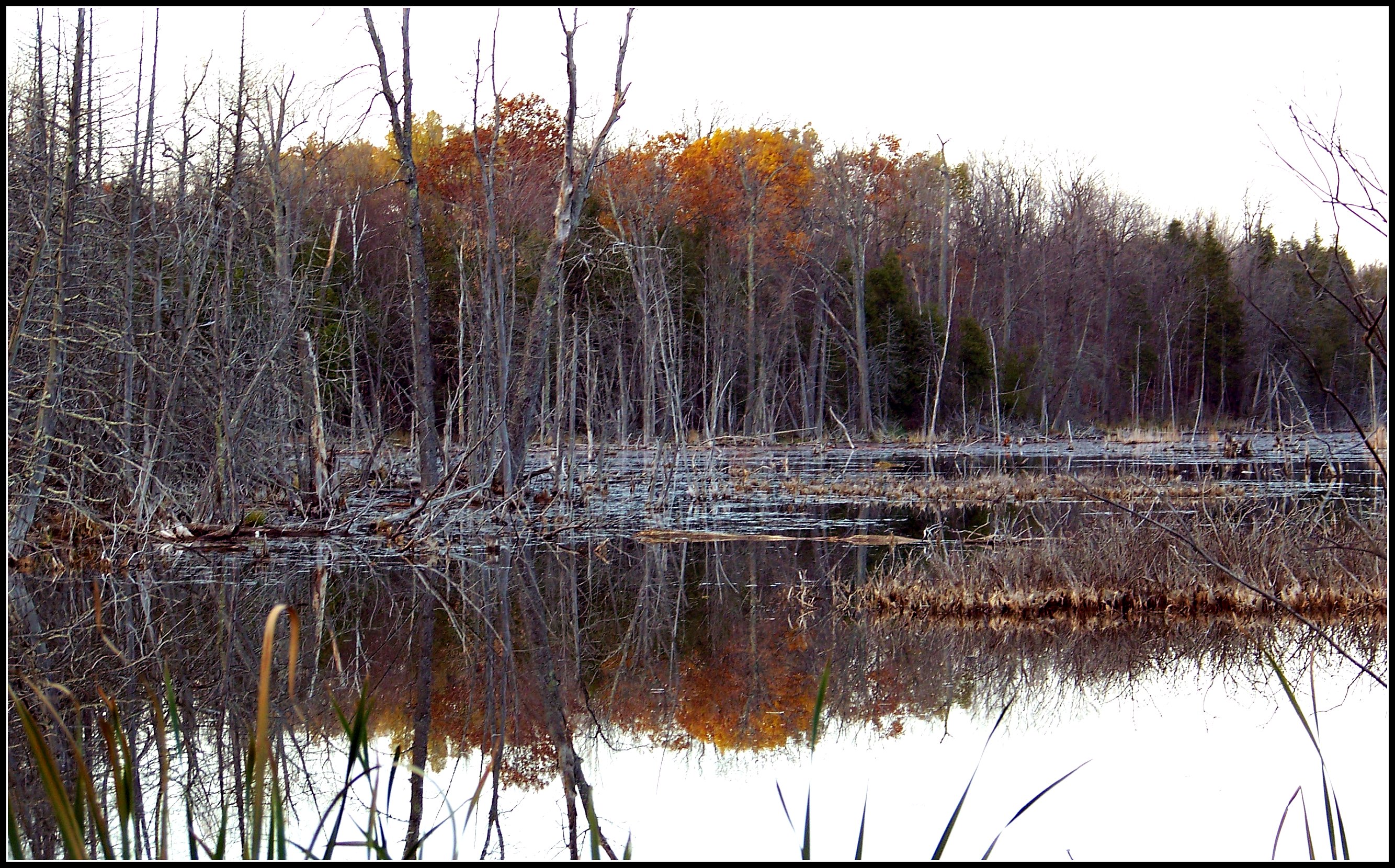
Late autumn reflections
Channel on Charleston Lake, ON
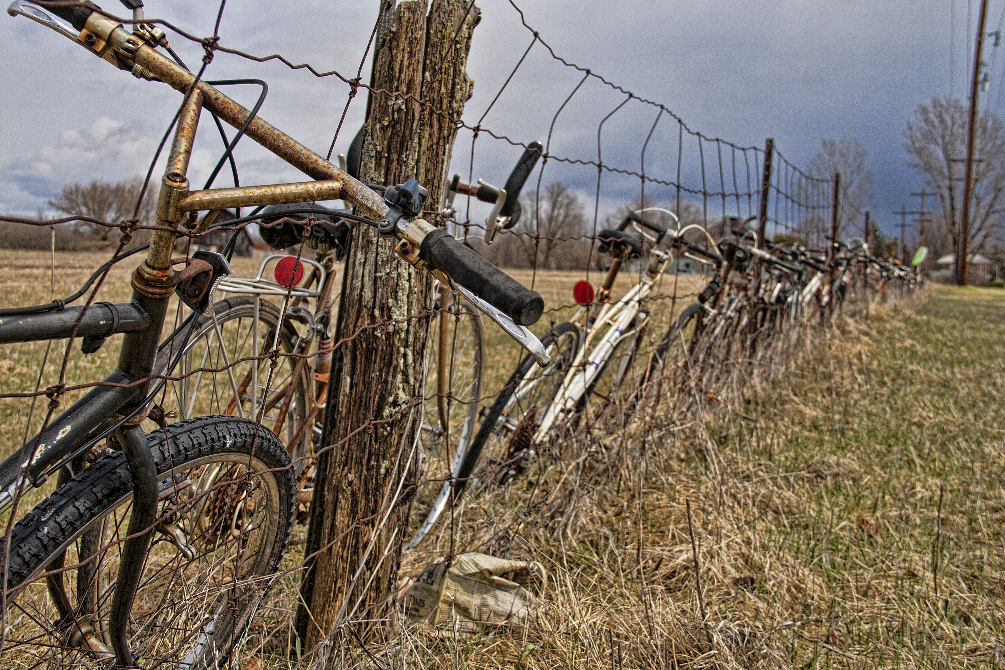
Bicycles along fence
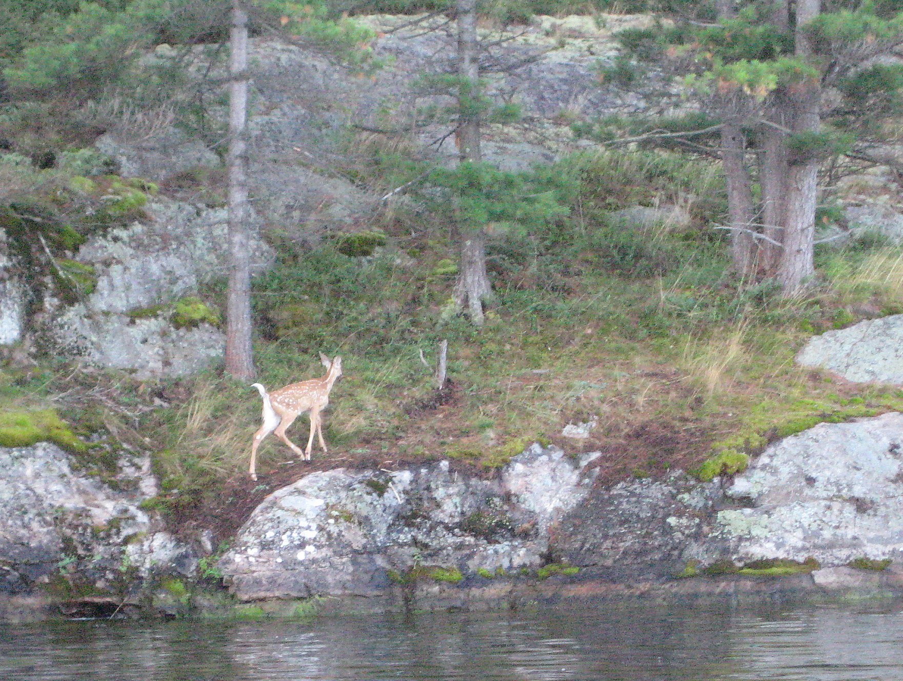
Fawn retreats crop
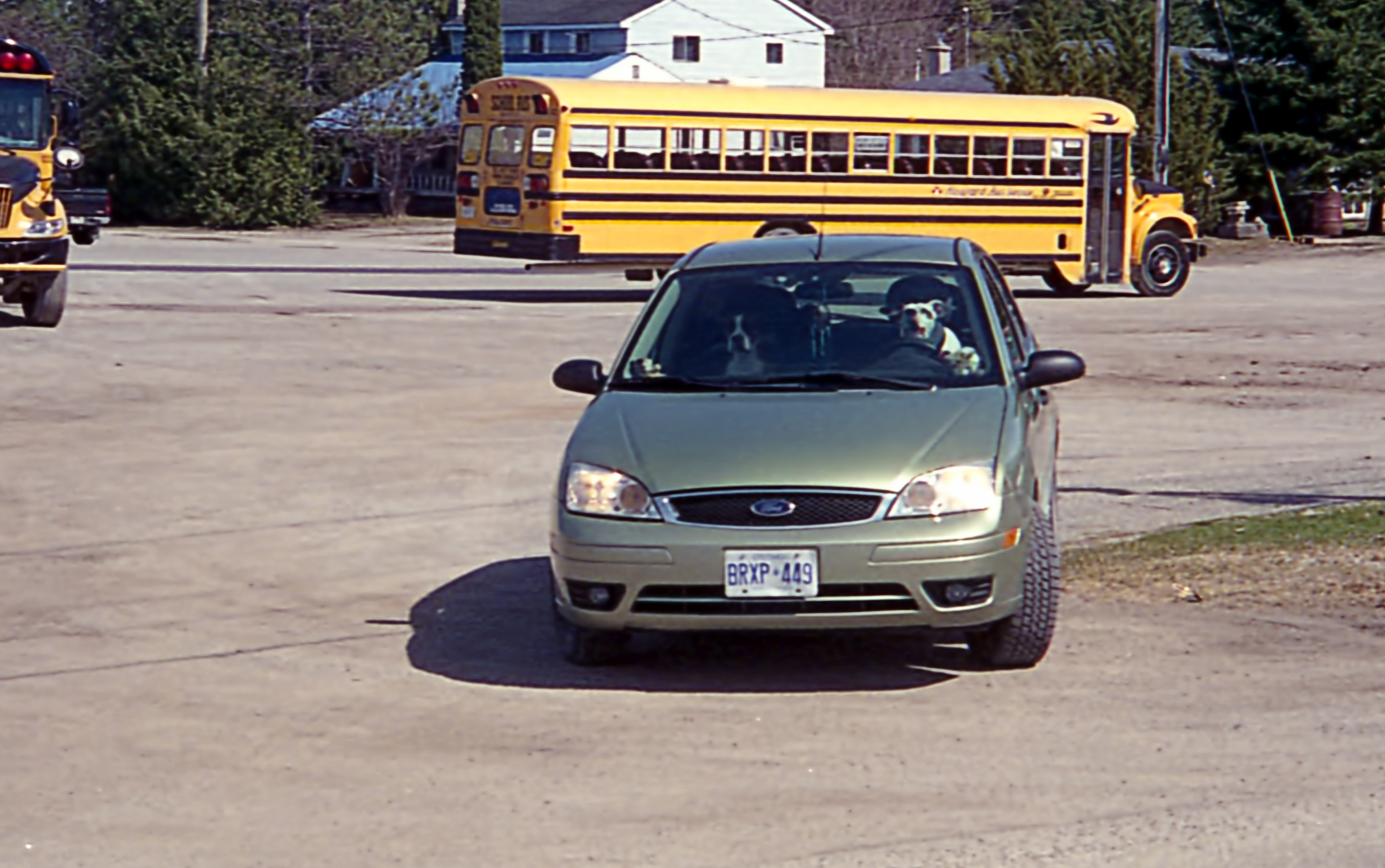
Dog day afternoon
Topographic Map of Leeds and Grenville United Counties, ON, Canada
Find elevation by address:

Places in Leeds and Grenville United Counties, ON, Canada:
Leeds And The Thousand Islands
Edwardsburgh/cardinal
North Grenville
Rideau Lakes
Front Of Yonge
Gananoque
Elizabethtown-kitley
Athens
Augusta
Prescott
Merrickville-wolford
Toledo
Westport
Hillcrest Rd, Brockville, ON K6V 5T3, Canada
St Lawrence St, Merrickville, ON K0G 1N0, Canada
Cross Rd, Lyn, ON K0E 1M0, Canada
Brockville
Places near Leeds and Grenville United Counties, ON, Canada:
County Rd 29, Addison, ON K0E 1A0, Canada
Addison
Athens
Dixie Rd, Athens, ON K0E 1B0, Canada
160 Dixie Rd
Elizabethtown-kitley
Ballycanoe Road
Cross Rd, Lyn, ON K0E 1M0, Canada
10 Caintown Rd, Mallorytown, ON K0E 1R0, Canada
Front Of Yonge
996 Weedmark Rd
55 Quabbin Rd, Mallorytown, ON K0E 1R0, Canada
Mallorytown
8827 County Rd 6
1436 County Rd 2
1367 Hallecks Rd E
2 Sifton Rd, Mallorytown, ON K0E 1R0, Canada
1254 Stewart Blvd
Kilmarnock Rd, Jasper, ON K0G 1G0, Canada
North Augusta
Recent Searches:
- Elevation of Corso Fratelli Cairoli, 35, Macerata MC, Italy
- Elevation of Tallevast Rd, Sarasota, FL, USA
- Elevation of 4th St E, Sonoma, CA, USA
- Elevation of Black Hollow Rd, Pennsdale, PA, USA
- Elevation of Oakland Ave, Williamsport, PA, USA
- Elevation of Pedrógão Grande, Portugal
- Elevation of Klee Dr, Martinsburg, WV, USA
- Elevation of Via Roma, Pieranica CR, Italy
- Elevation of Tavkvetili Mountain, Georgia
- Elevation of Hartfords Bluff Cir, Mt Pleasant, SC, USA