Elevation of Tomaszów Lubelski County, Poland
Location: Poland > Lublin Voivodeship >
Longitude: 23.6139646
Latitude: 50.4807956
Elevation: 231m / 758feet
Barometric Pressure: 99KPa
Elevation Map:
Satellite Map:
Related Photos:
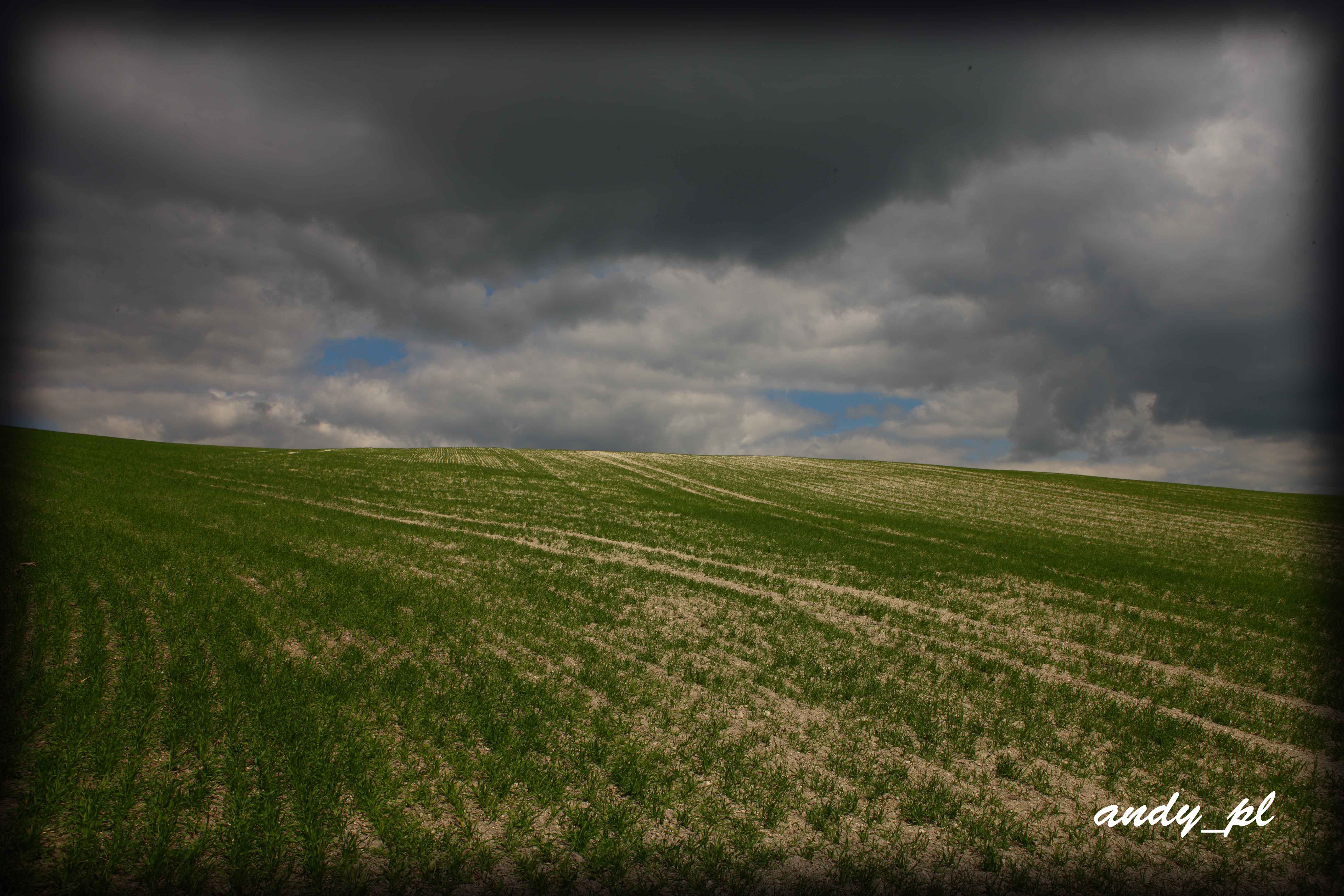
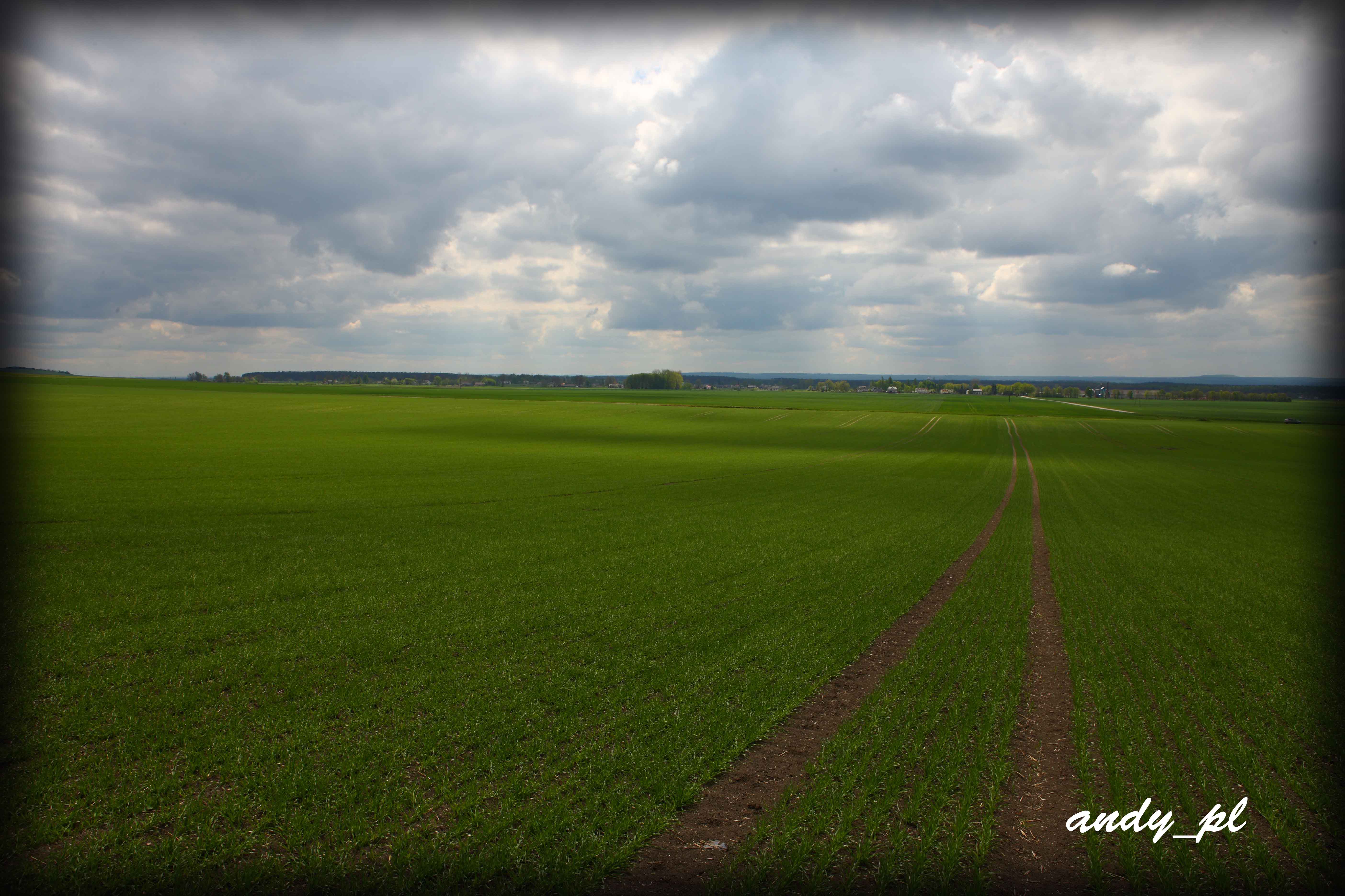
The Southern Roztocze, Poland
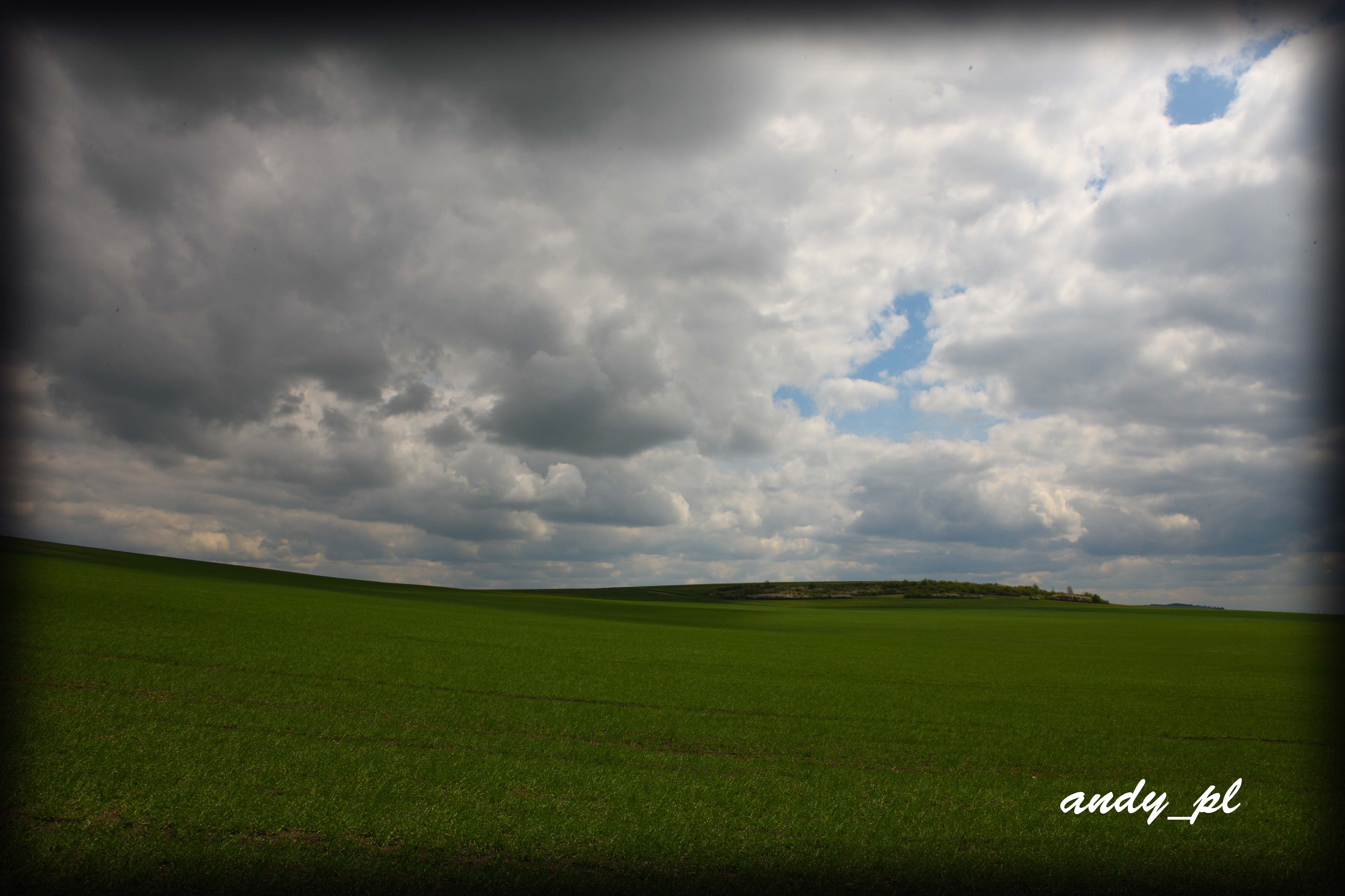
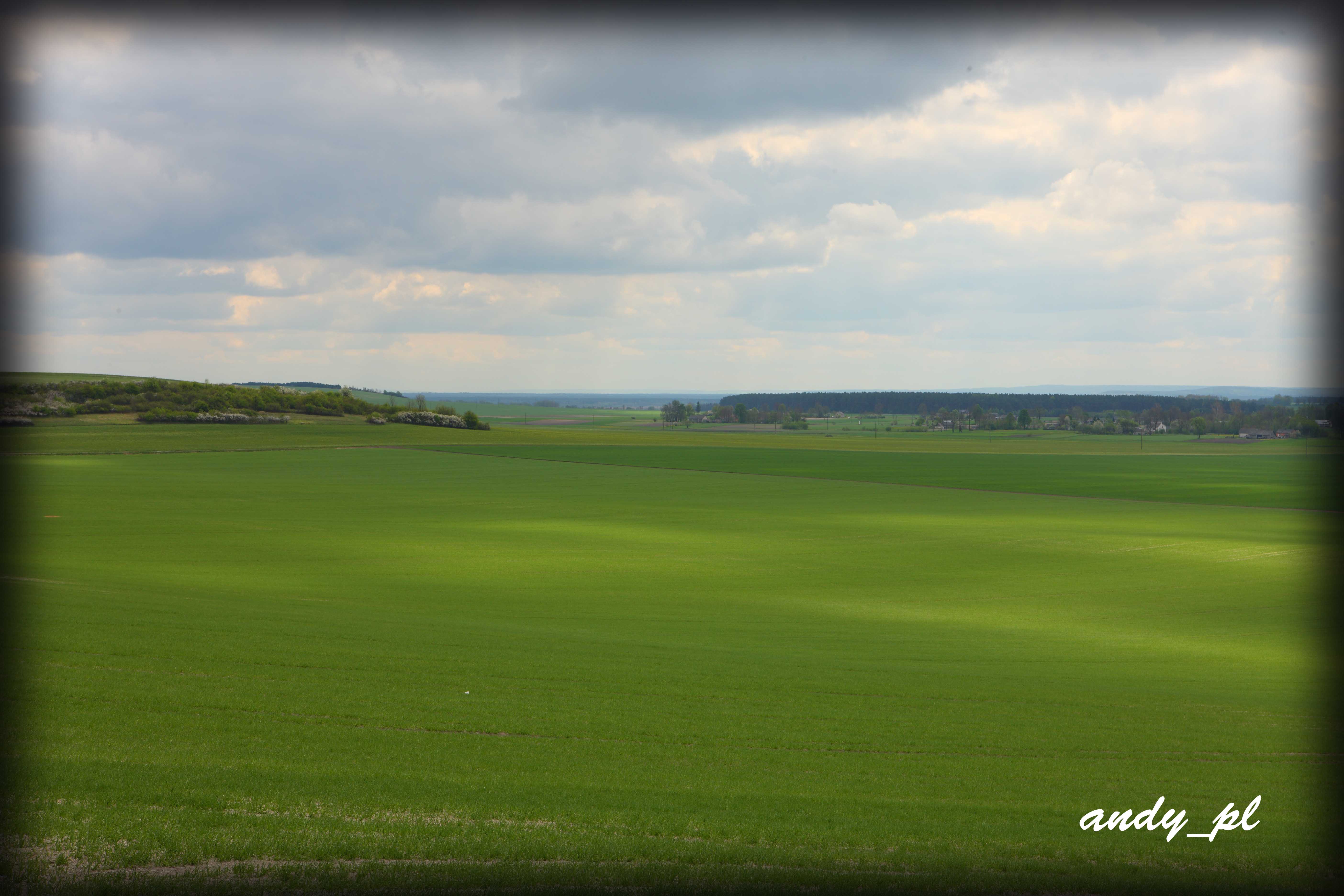
The Southern Roztocze, Poland
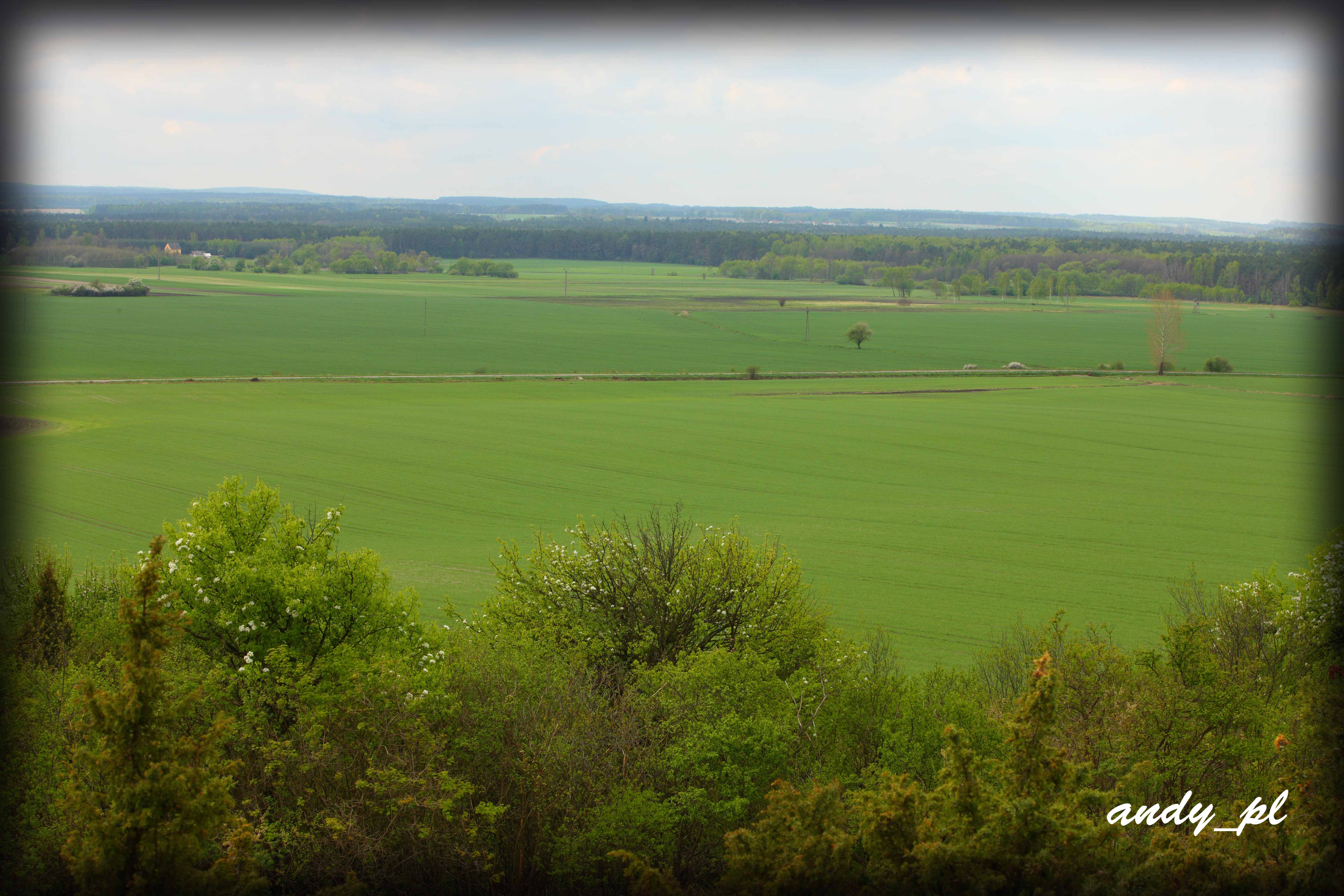
The Southern Roztocze, Poland
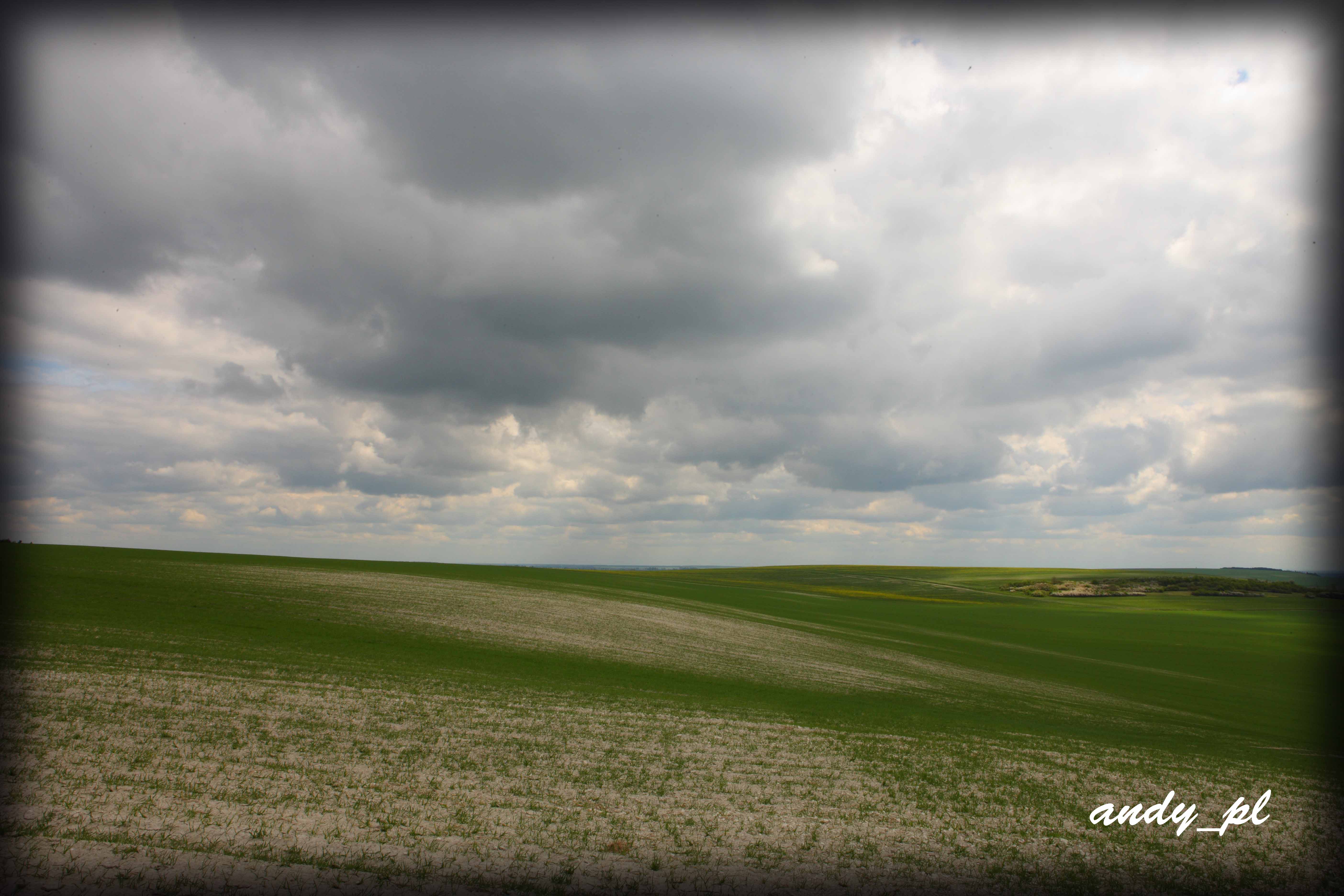
The Southern Roztocze, Poland
The Southern Roztocze, Poland
The Southern Roztocze, Poland

Stefan O Victor fröberg
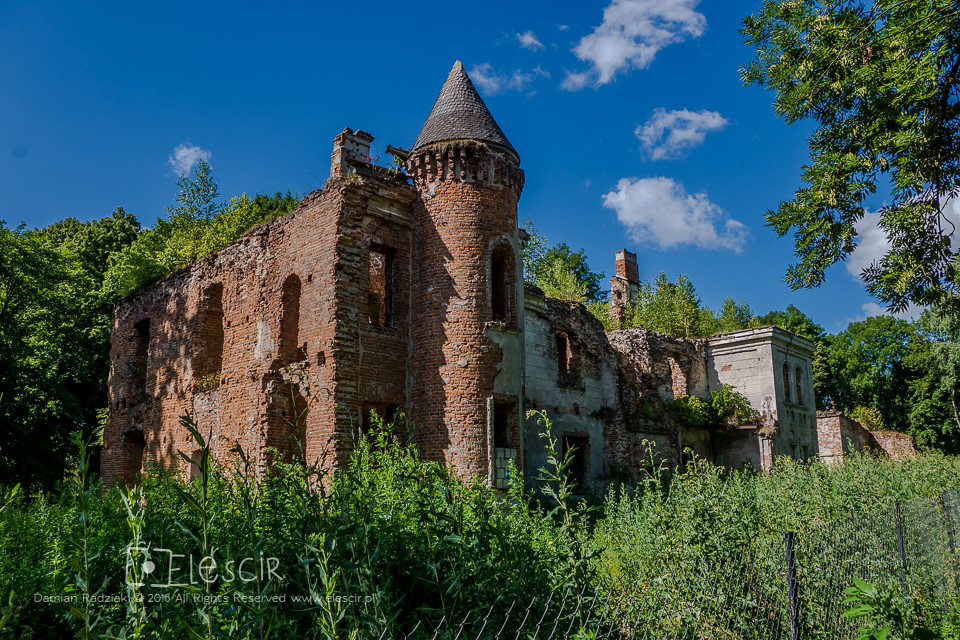
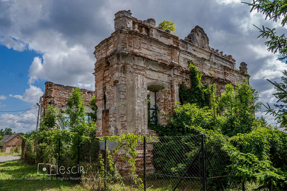
Szczeptycki Palace
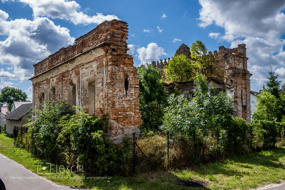
Synagogue (Old Castle)
Synagogue (Old Castle)

George p

Karin Spinetti
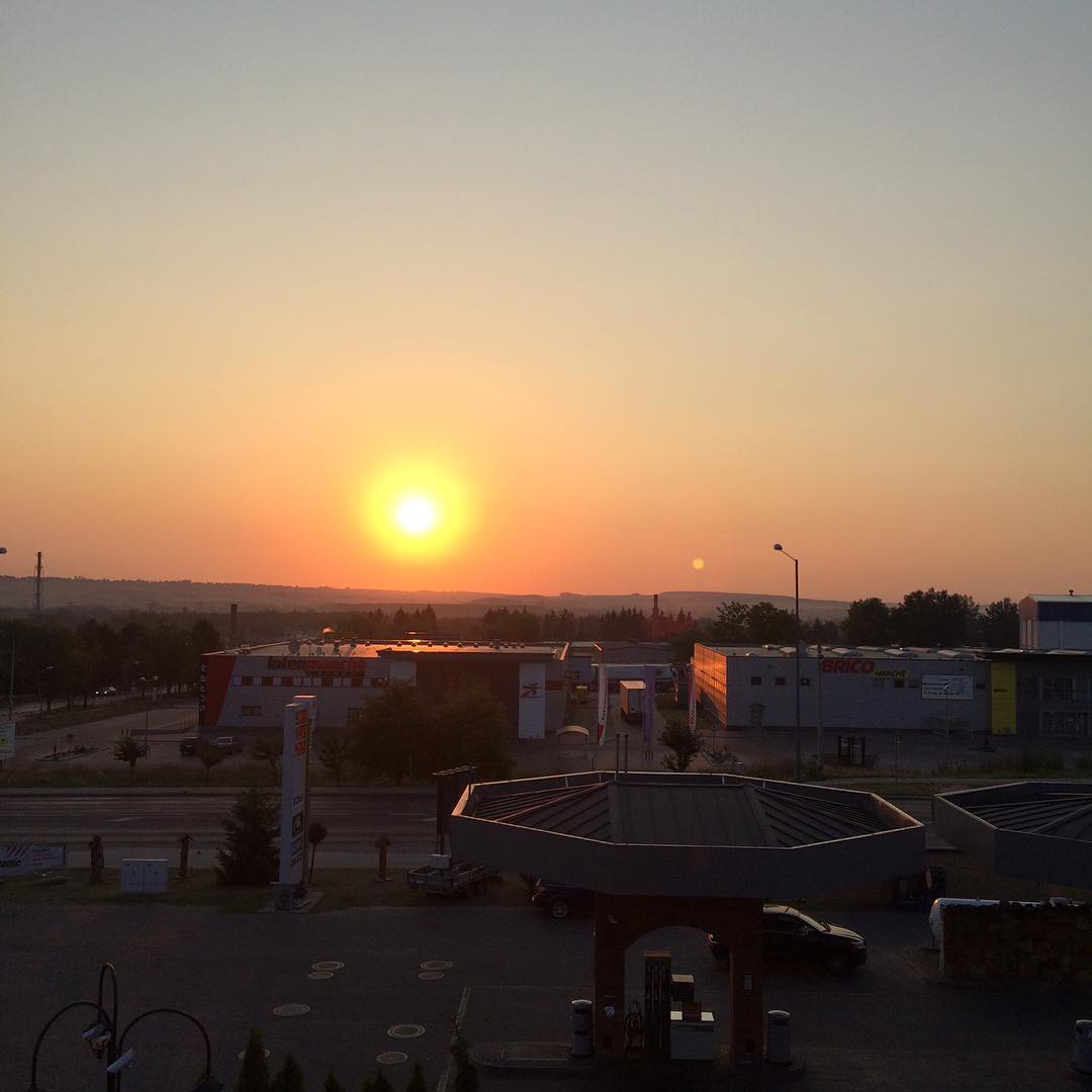
#soleil #est #poland #Pologne #TomaszowLubelski

#hôtel #Pologne #poland #TomaszowLubelski #hotel
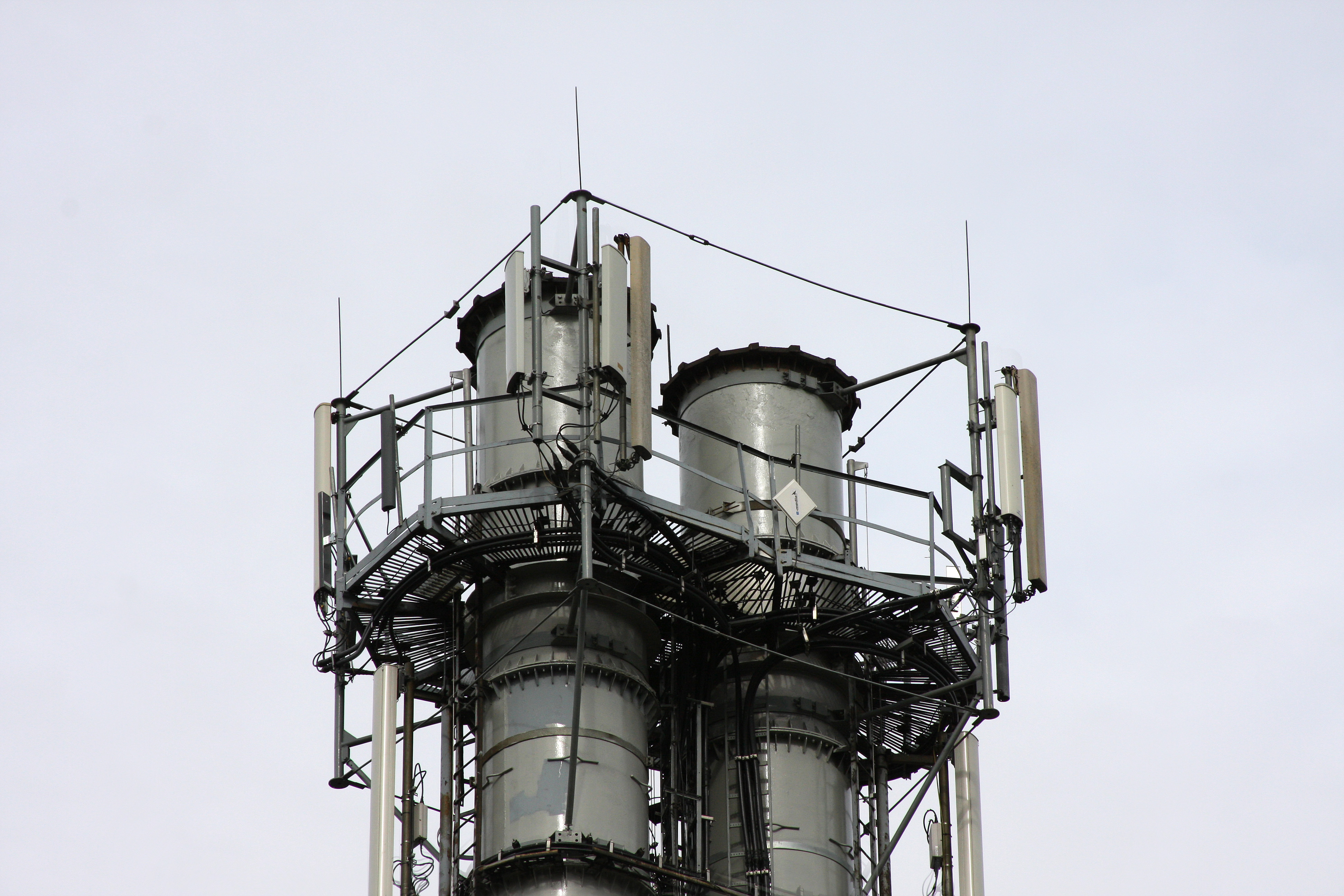
komin szpitalny
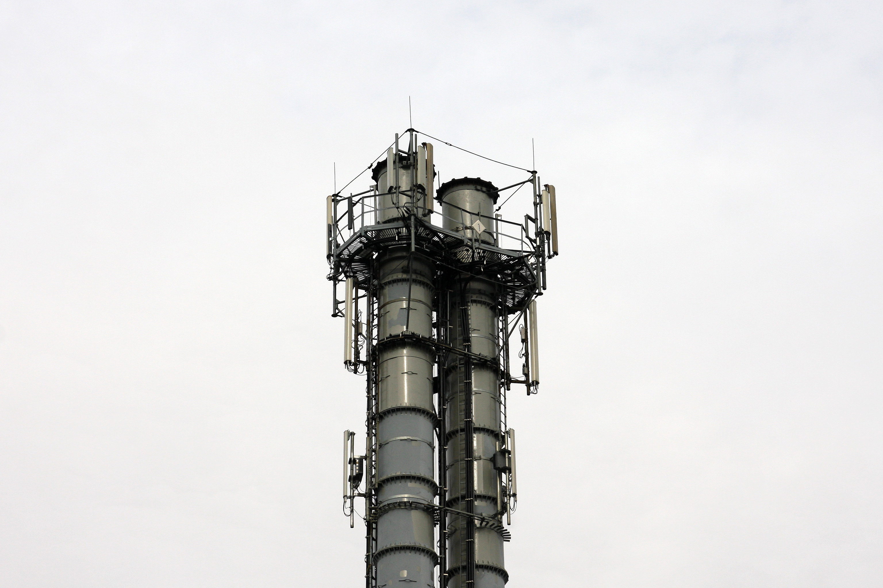
komin szpitalny
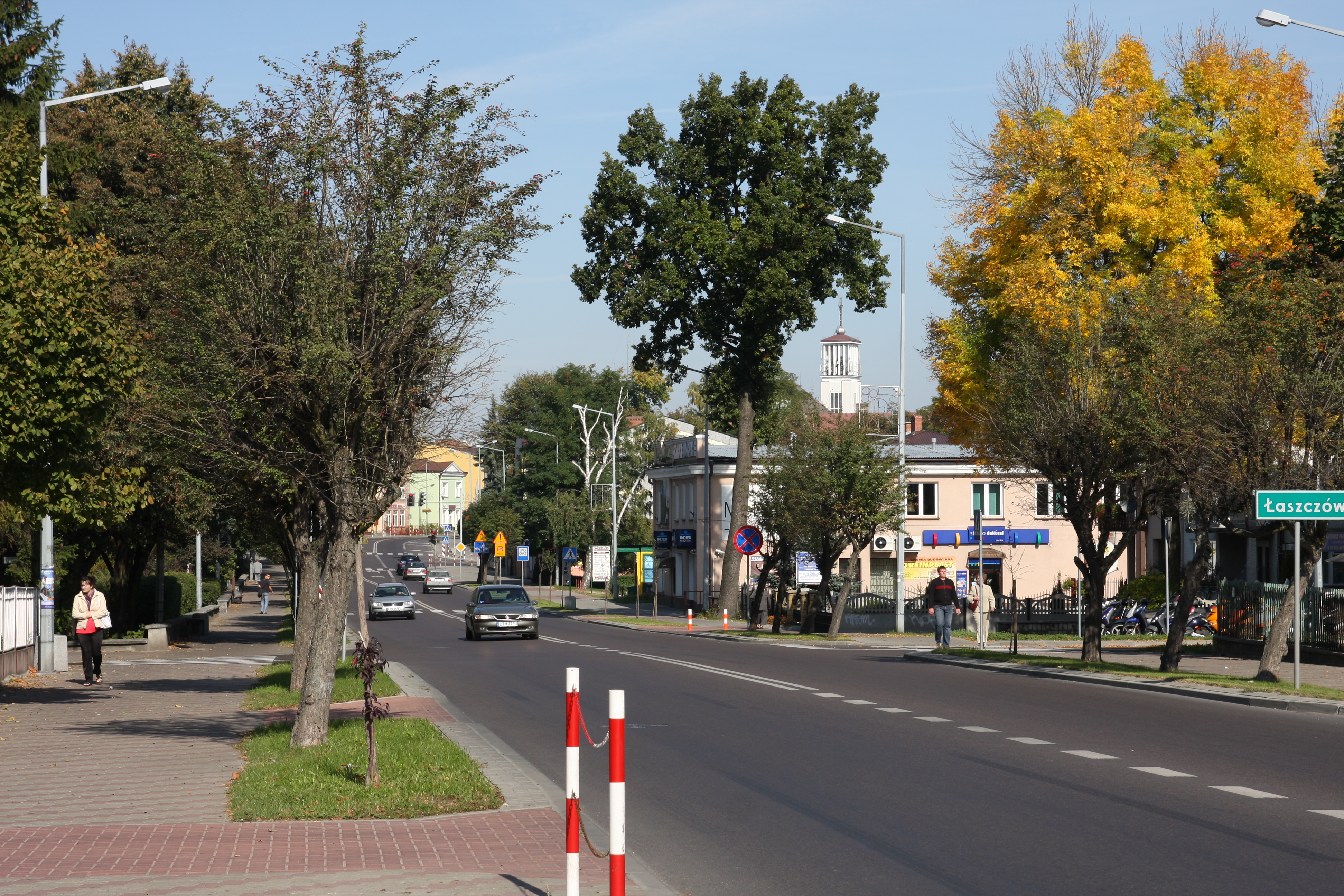
ul. Lwowska
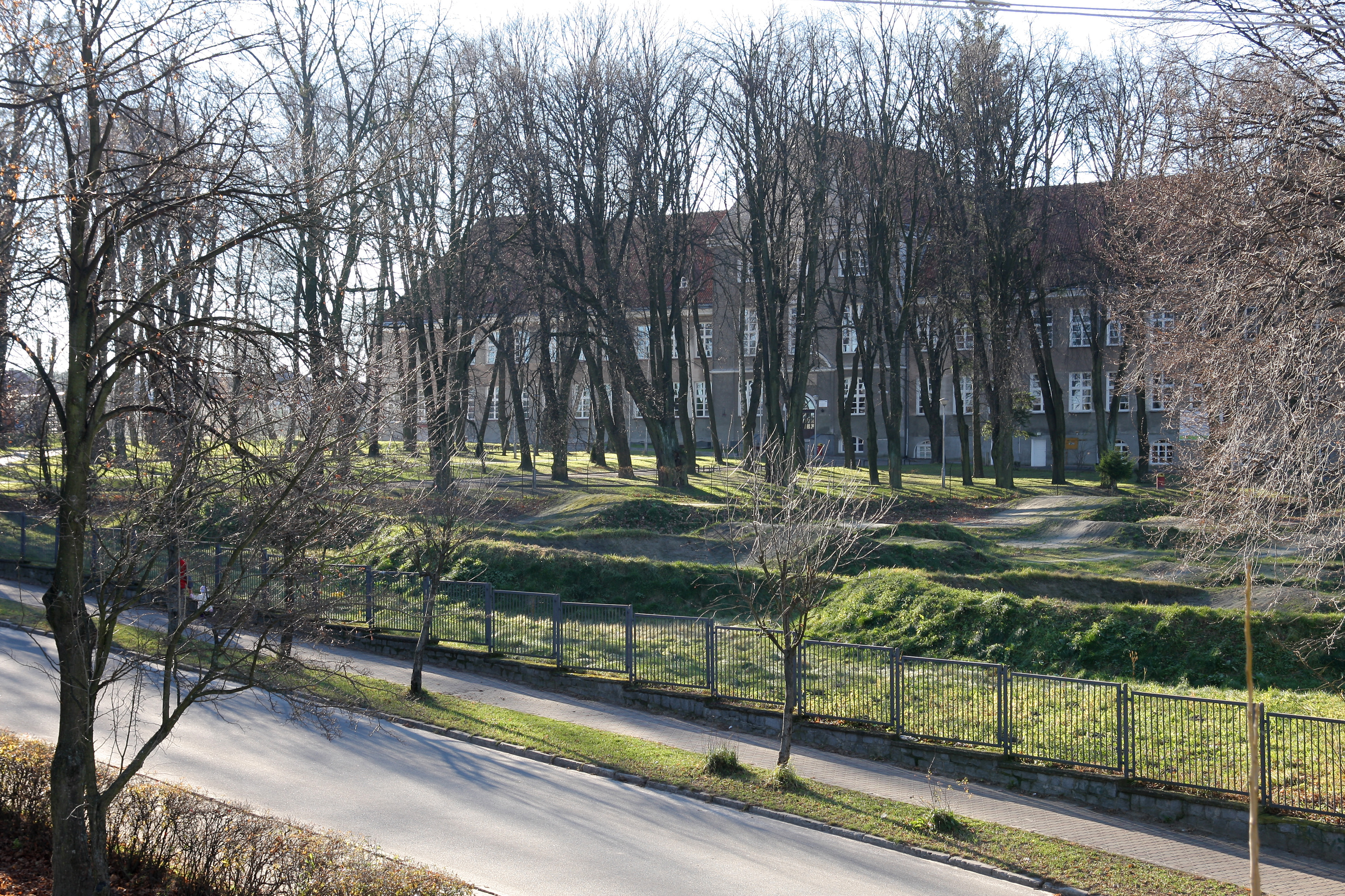
Z.S. nr 1 im. Bartosza Głowackiego
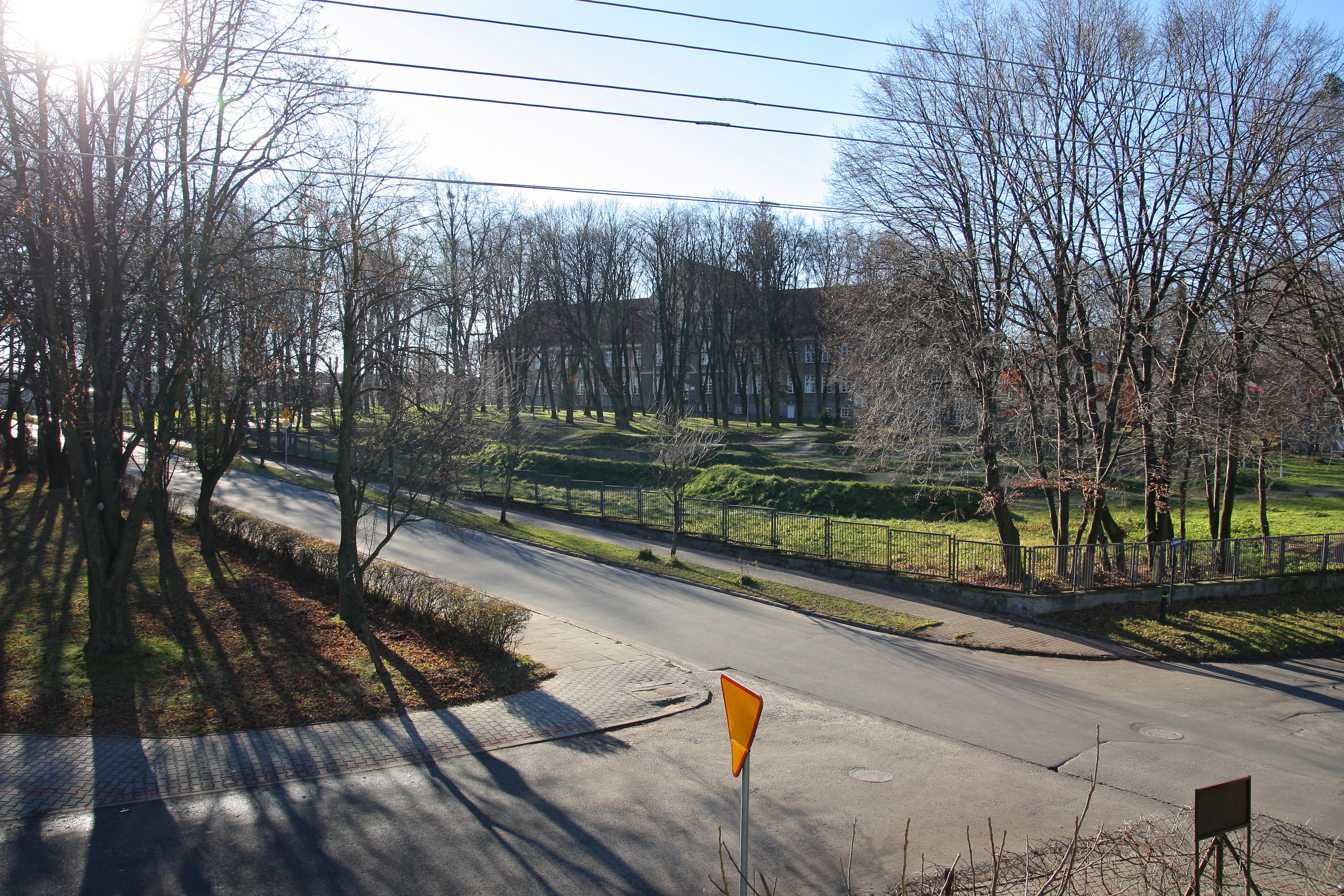
Z.S. nr 1 im. Bartosza Głowackiego

dom przy ul. Kościuszki
Topographic Map of Tomaszów Lubelski County, Poland
Find elevation by address:

Places in Tomaszów Lubelski County, Poland:
Places near Tomaszów Lubelski County, Poland:
Dyniska 50, 22- Dyniska, Poland
2b
Dyniska
Nowy Machnów
Zhovkivs'kyi District
Yavorivs'kyi District
Yavoriv
Biłgoraj County
Nienowice 206
Nienowice
Bilgoraj
Jarosław County
Sambir
Przemyśl
Krościenko
Recent Searches:
- Elevation of 7 Waterfall Way, Tomball, TX, USA
- Elevation of SW 57th Ave, Portland, OR, USA
- Elevation of Crocker Dr, Vacaville, CA, USA
- Elevation of Pu Ngaol Community Meeting Hall, HWHM+3X7, Krong Saen Monourom, Cambodia
- Elevation of Royal Ontario Museum, Queens Park, Toronto, ON M5S 2C6, Canada
- Elevation of Groblershoop, South Africa
- Elevation of Power Generation Enterprises | Industrial Diesel Generators, Oak Ave, Canyon Country, CA, USA
- Elevation of Chesaw Rd, Oroville, WA, USA
- Elevation of N, Mt Pleasant, UT, USA
- Elevation of 6 Rue Jules Ferry, Beausoleil, France