Elevation of Biłgoraj County, Poland
Location: Poland > Lublin Voivodeship >
Longitude: 22.7841244
Latitude: 50.4805711
Elevation: 213m / 699feet
Barometric Pressure: 99KPa
Elevation Map:
Satellite Map:
Related Photos:

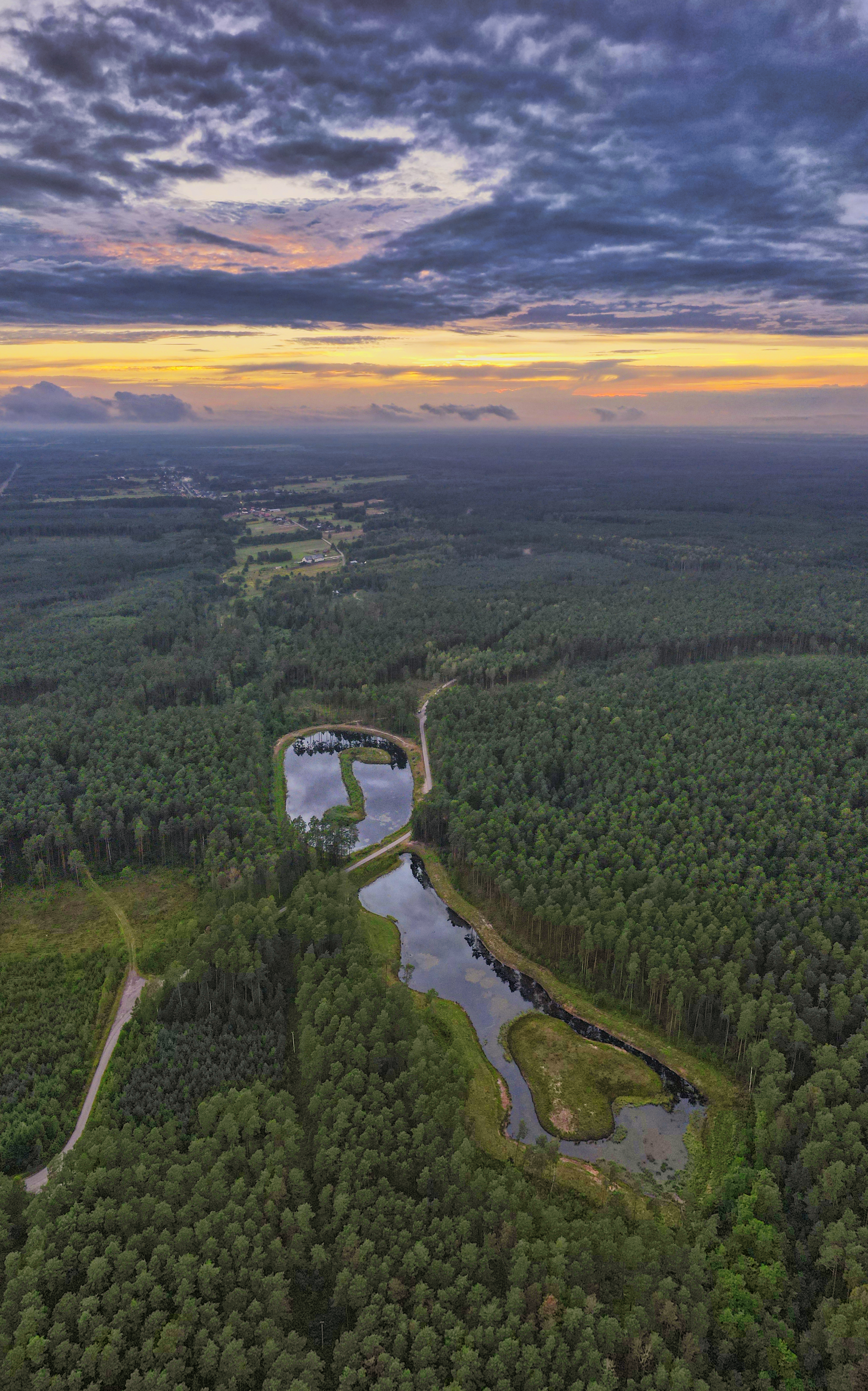
Roztocze, Poland

Czarna Lada river

BIłgoraj
...

Zalew Bojary w Biłgoraju

Biłgoraj
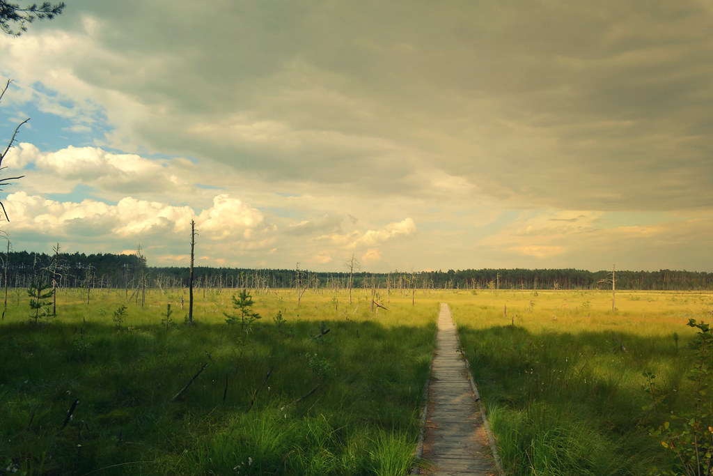
Rezerwt Przyrody Obary, Poland

Spływ Tanwią Budziarze - Wólka Biska lipiec 2018

131016 Budziarze 358

Beautiful Polish Fields

Rhus typhina - sumak odurzający

Rezerwt Przyrody Obary, Poland

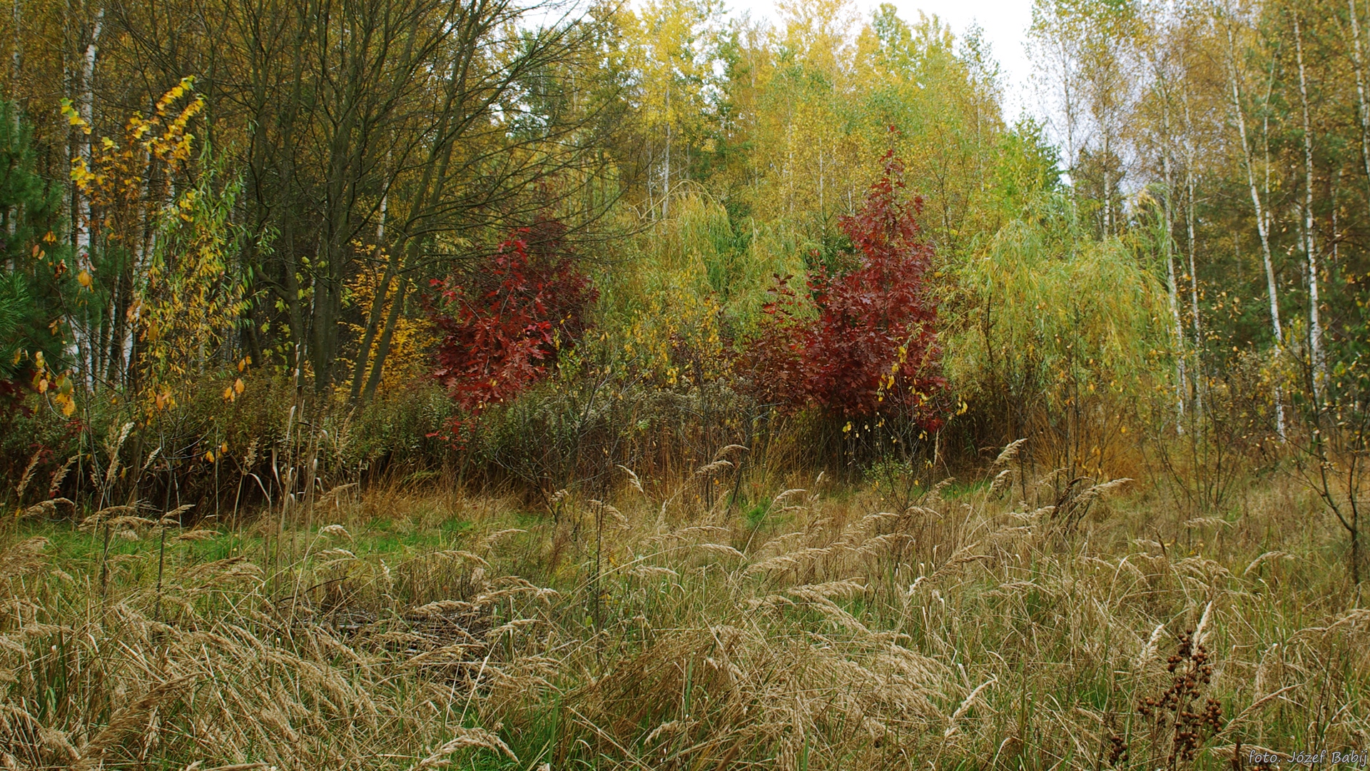
Budziarze 347

131016 Budziarze 388

131016 Budziarze 375
Budziarze 339

Zalew Biszcza - Żary zachód, zdjęcie 4K
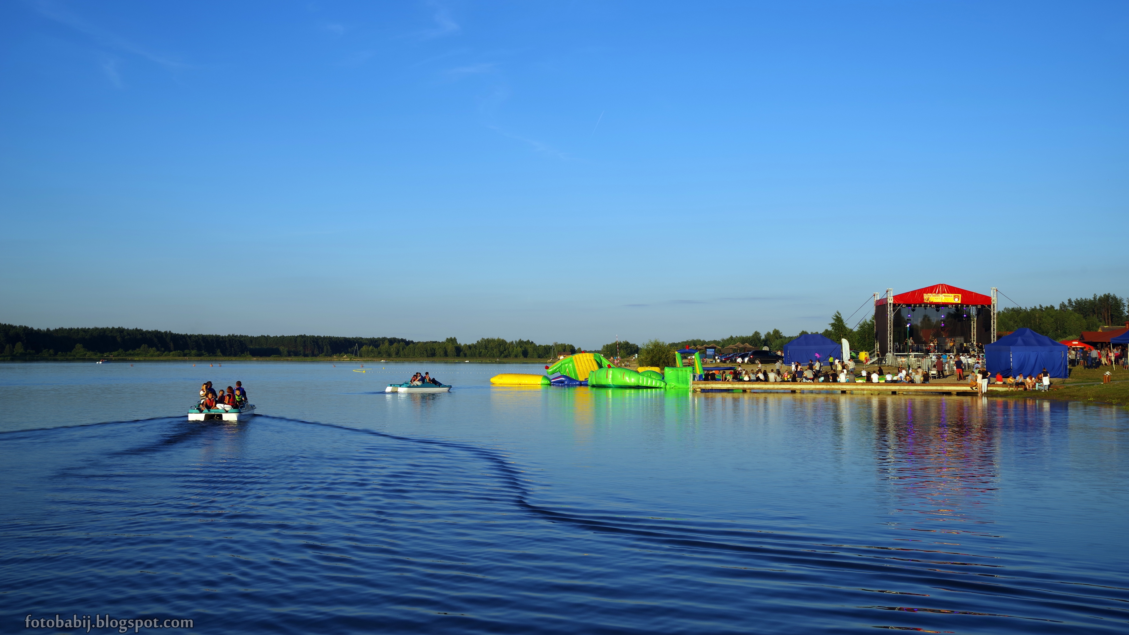
Zalew Biszcza - Żary Dzień Miodu i Pieroga, 2016 - zdjęcie 4K

Budziarze 348

9107 Kwatera z I i II Wojny Światowej na cmentarzu przy ul. Lubelskiej w Biłgoraju

Budziarze 329
Budziarze 328
Topographic Map of Biłgoraj County, Poland
Find elevation by address:

Places in Biłgoraj County, Poland:
Places near Biłgoraj County, Poland:
Bilgoraj
Jarosław County
Nienowice 206
Nienowice
Przemyśl
Yavoriv
Tomaszów Lubelski County
Nowy Machnów
Yavorivs'kyi District
2b
Dyniska 50, 22- Dyniska, Poland
Dyniska
Krościenko
Sambir
Zhovkivs'kyi District
Recent Searches:
- Elevation of SW 57th Ave, Portland, OR, USA
- Elevation of Crocker Dr, Vacaville, CA, USA
- Elevation of Pu Ngaol Community Meeting Hall, HWHM+3X7, Krong Saen Monourom, Cambodia
- Elevation of Royal Ontario Museum, Queens Park, Toronto, ON M5S 2C6, Canada
- Elevation of Groblershoop, South Africa
- Elevation of Power Generation Enterprises | Industrial Diesel Generators, Oak Ave, Canyon Country, CA, USA
- Elevation of Chesaw Rd, Oroville, WA, USA
- Elevation of N, Mt Pleasant, UT, USA
- Elevation of 6 Rue Jules Ferry, Beausoleil, France
- Elevation of Sattva Horizon, 4JC6+G9P, Vinayak Nagar, Kattigenahalli, Bengaluru, Karnataka, India