Elevation of Jarosław County, Poland
Location: Poland > Podkarpackie Voivodeship >
Longitude: 22.7535729
Latitude: 49.9657776
Elevation: 198m / 650feet
Barometric Pressure: 99KPa
Elevation Map:
Satellite Map:
Related Photos:

View of Jarosław

Jarosław, Poland - view from my window

Jarosław

Jarosław

Jarosław
Winter Landscape

Autumn is coming

Winter Landscape

Beautiful Morning

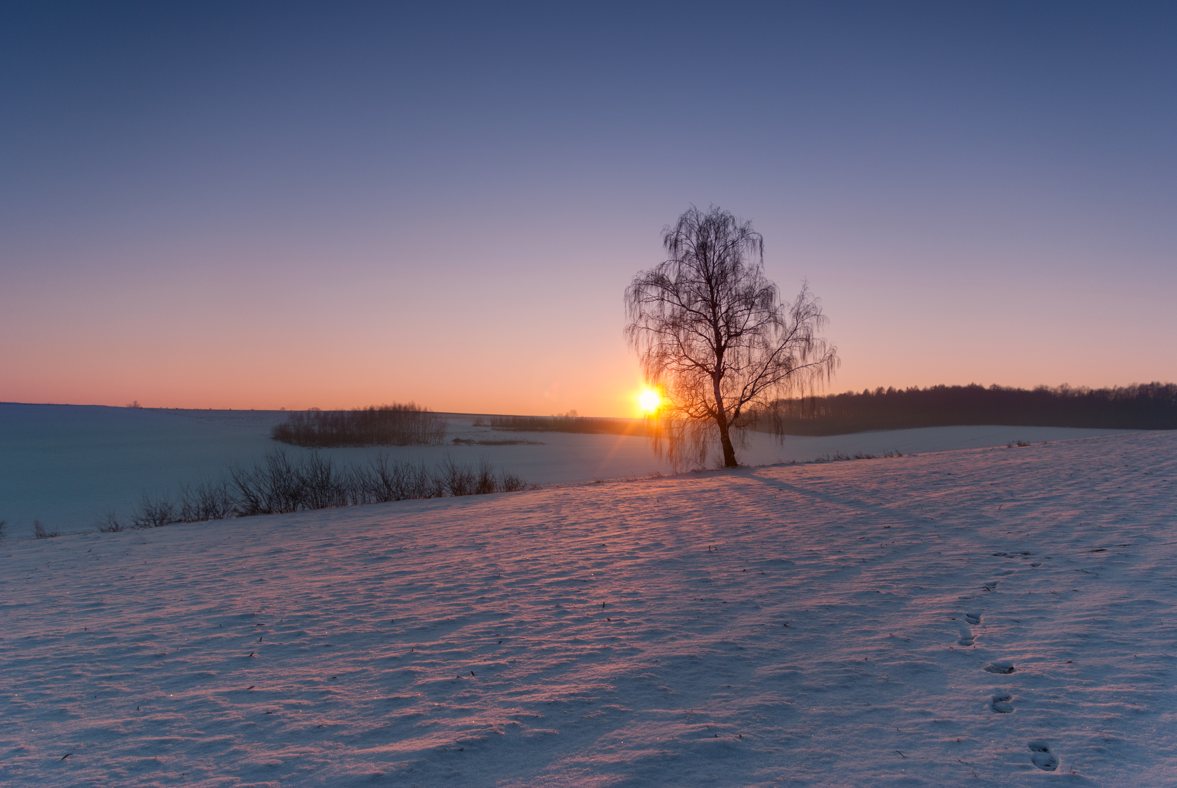
Lone Tree

Uroki zimy

Lonely tree

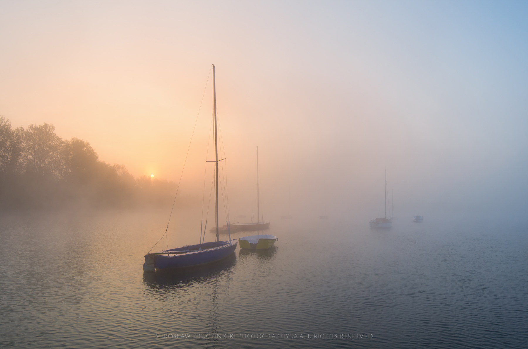
Lost in the fog

Misty morning v2

Summer day

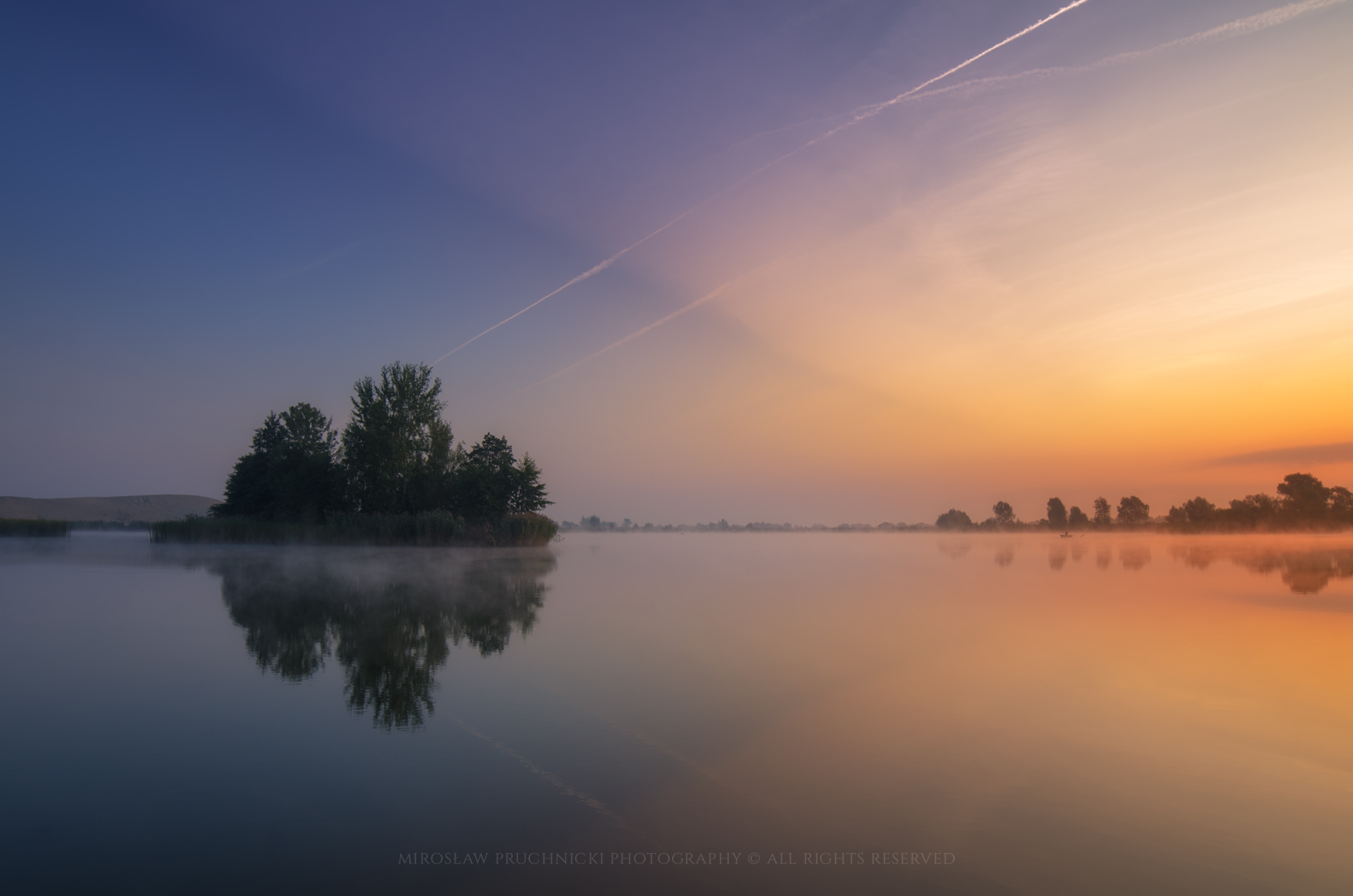
Morning at the lake

Morning at the lake
A New Day

Winter evening

Winter evening

Island #1

Soft light

Marcowe kolory poranka
The Island

Beautiful morning

Przedświt
Topographic Map of Jarosław County, Poland
Find elevation by address:

Places in Jarosław County, Poland:
Places near Jarosław County, Poland:
Nienowice 206
Nienowice
Przemyśl
Krościenko
Biłgoraj County
Bilgoraj
Sambir
Yavoriv
Yavorivs'kyi District
Nowy Machnów
Tomaszów Lubelski County
2b
Dyniska 50, 22- Dyniska, Poland
Dyniska
Zhovkivs'kyi District
Recent Searches:
- Elevation of Bydgoszcz, Poland
- Elevation of Bydgoszcz, Poland
- Elevation of Calais Dr, Del Mar, CA, USA
- Elevation of Placer Mine Ln, West Jordan, UT, USA
- Elevation of E 63rd St, New York, NY, USA
- Elevation of Elk City, OK, USA
- Elevation of Erika Dr, Windsor, CA, USA
- Elevation of Village Ln, Finleyville, PA, USA
- Elevation of 24 Oakland Rd #, Scotland, ON N0E 1R0, Canada
- Elevation of Deep Gap Farm Rd E, Mill Spring, NC, USA