Elevation map of Lublin Voivodeship, Poland
Location: Poland >
Longitude: 23.1011392
Latitude: 51.2493519
Elevation: 179m / 587feet
Barometric Pressure: 99KPa
Elevation Map:
Satellite Map:
Related Photos:
2014-04-30-389
2014-04-30-409
2014-04-30-397
2014-04-30-413
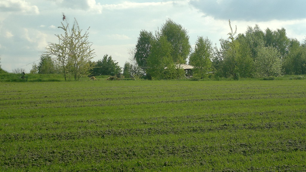
2014-04-30-410
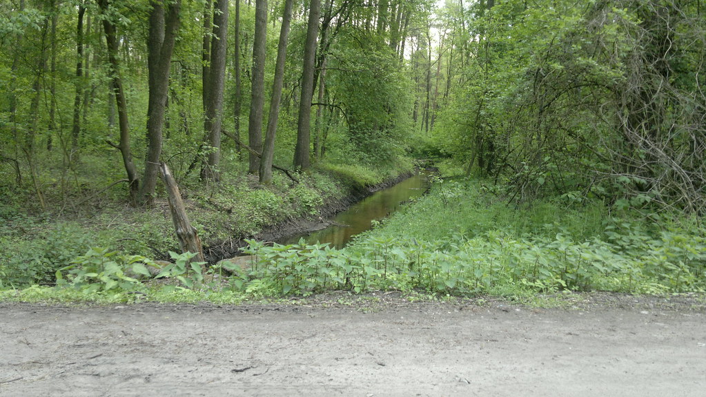
2014-04-30-398
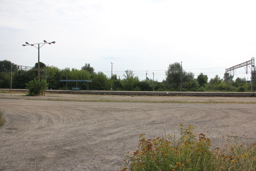
Trawniki train station 06.08.2014

Orange Train

Carina Gällman
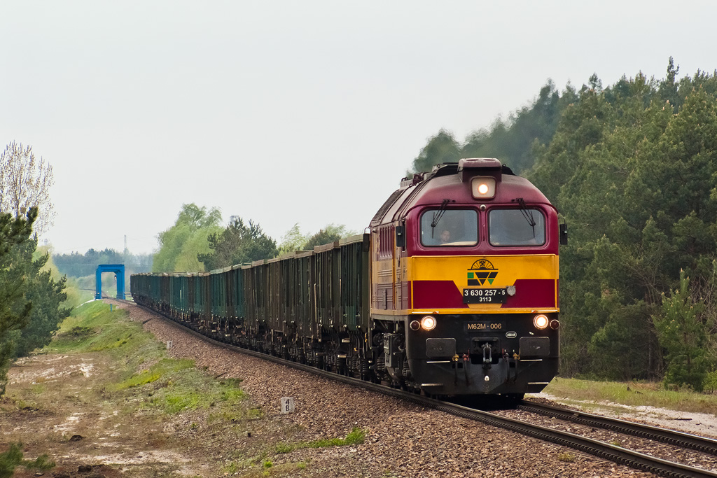
M62M-006
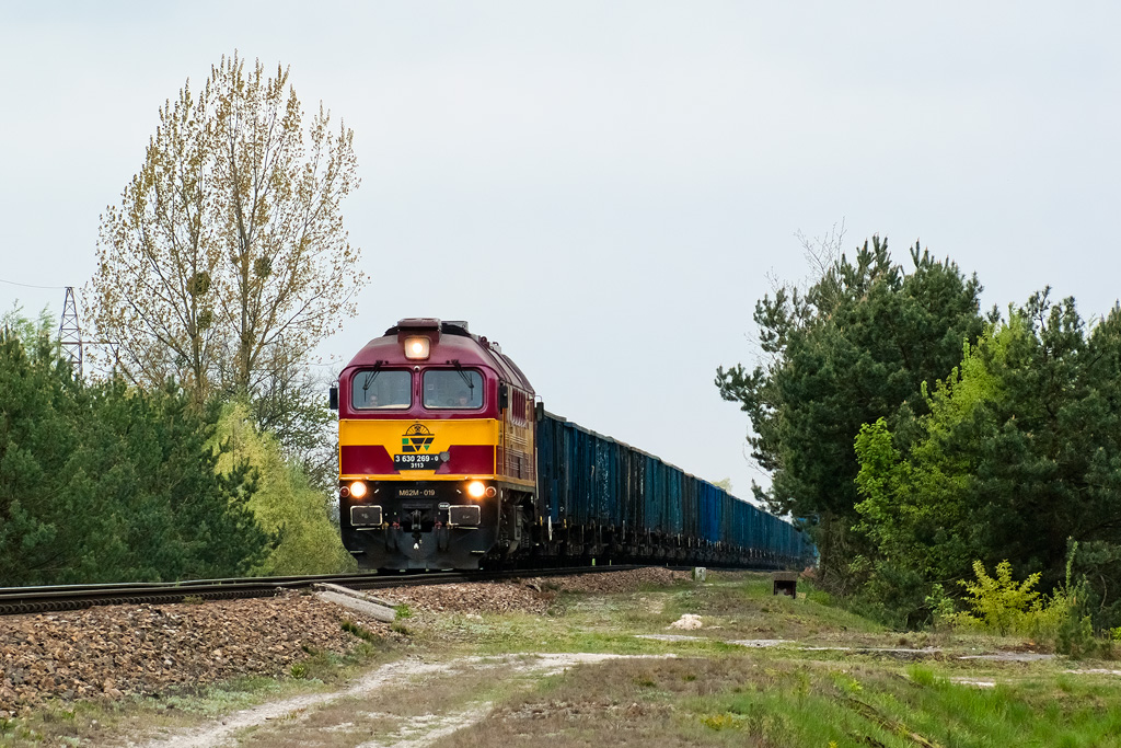
M62M-019
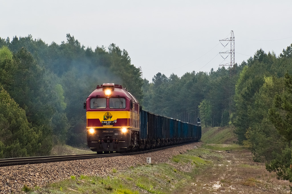
M62M-006

M62M-006

M62M-019

M62M-019
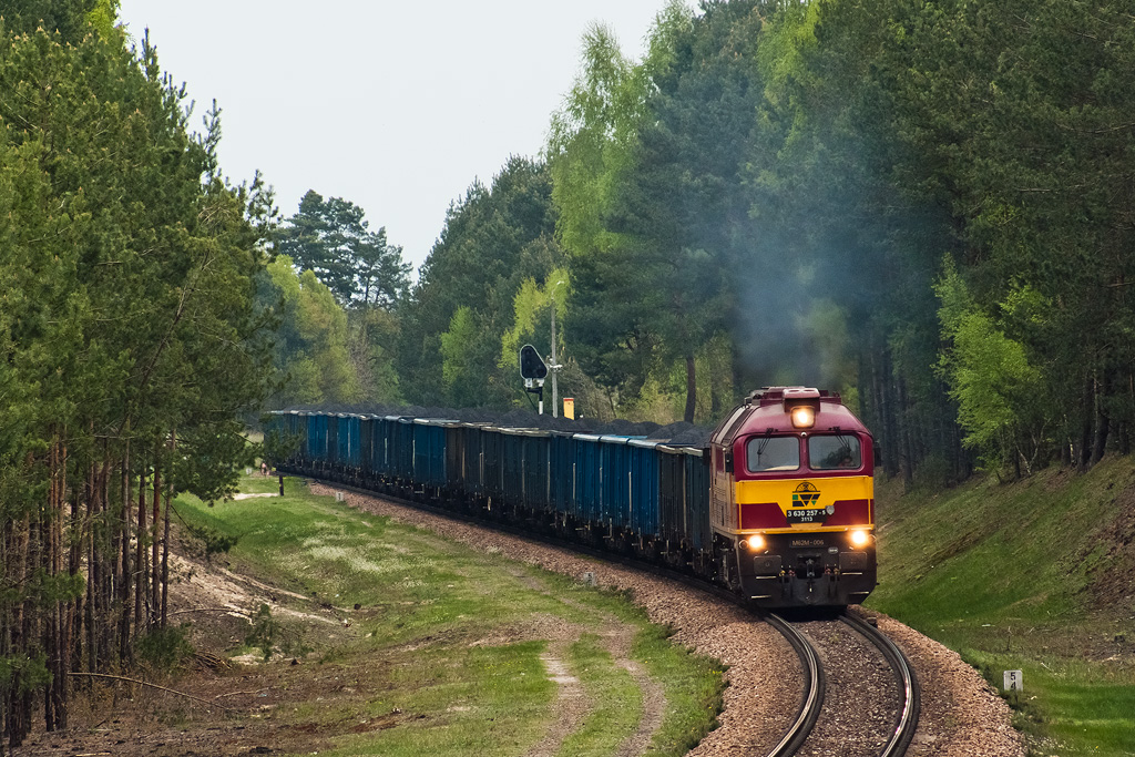
M62M-006

M62M-019

S-2111
S-281

Vectron X4EC-021

Vectron X4EC-021

M62M-019

M62M-006
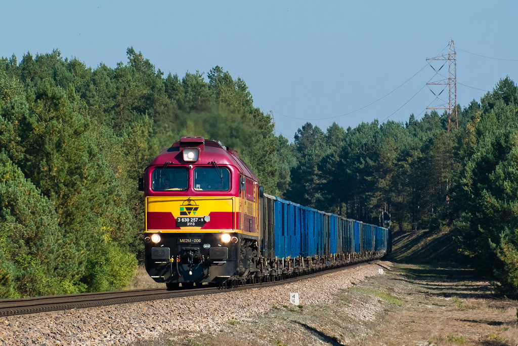
M62M-006

M62M-019
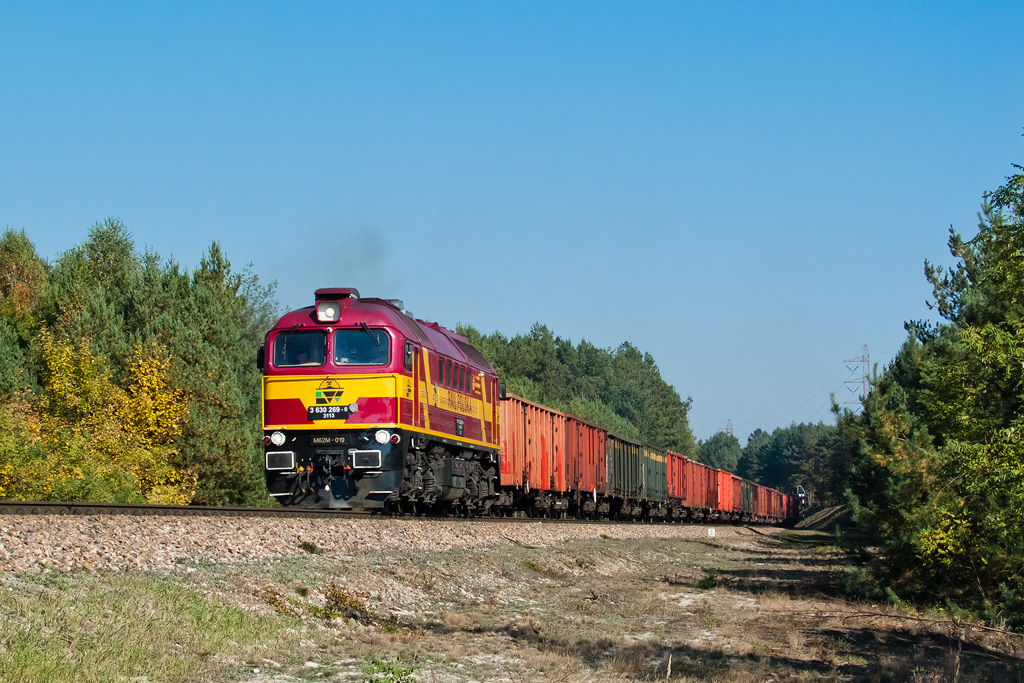
M62M-019
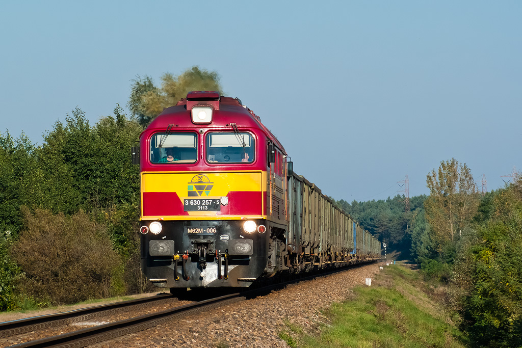
M62M-006
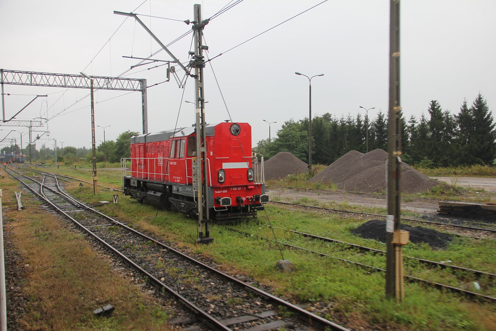
DBSRP T448p-059 , Jaszczów train station 12.08.2014
Topographic Map of Lublin Voivodeship, Poland
Find elevation by address:

Places in Lublin Voivodeship, Poland:
Tomaszów Lubelski County
Chełmski
Lublin
Żeszczynka
Janów Lubelski County
Podgórz
Biłgoraj County
Biała Podlaska City County
Places near Lublin Voivodeship, Poland:
Lublin
Spokojna 3
Chełmski
Aleje Jana Pawła Ii 10
Żeszczynka
Zalasocze
Zalasocze 24, 22- Zalasocze, Poland
Recent Searches:
- Elevation of Zimmer Trail, Pennsylvania, USA
- Elevation of 87 Kilmartin Ave, Bristol, CT, USA
- Elevation of Honghe National Nature Reserve, QP95+PJP, Tongjiang, Heilongjiang, Jiamusi, Heilongjiang, China
- Elevation of Hercules Dr, Colorado Springs, CO, USA
- Elevation of Szlak pieszy czarny, Poland
- Elevation of Griffing Blvd, Biscayne Park, FL, USA
- Elevation of Kreuzburger Weg 13, Düsseldorf, Germany
- Elevation of Gateway Blvd SE, Canton, OH, USA
- Elevation of East W.T. Harris Boulevard, E W.T. Harris Blvd, Charlotte, NC, USA
- Elevation of West Sugar Creek, Charlotte, NC, USA