Elevation of Tilwara, Uttarakhand, India
Location: India > Uttarakhand > Rudraprayag >
Longitude: 78.976193
Latitude: 30.3444932
Elevation: 748m / 2454feet
Barometric Pressure: 93KPa
Elevation Map:
Satellite Map:
Related Photos:

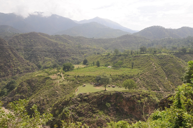
Rudraprayag, Uttarakhand

Rudraprayag, Uttarakhand

Rudraprayag, Uttarakhand

Rudraprayag, Uttarakhand

Rudraprayag, Uttarakhand
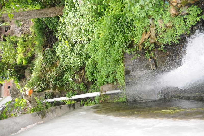
Nagrasu, Uttarakhand

Rudraprayag, Uttarakhand

Nagrasu, Uttarakhand

Rudraprayag, Uttarakhand

Rudraprayag, Uttarakhand

Ratura, Uttarakhand

Nagrasu, Uttarakhand

Nagrasu, Uttarakhand

Nagrasu, Uttarakhand

Nagrasu, Uttarakhand

Nagrasu, Uttarakhand
Ratura, Uttarakhand

Nagrasu, Uttarakhand

Rudraprayag, Uttarakhand

CSP_2990.JPG

Rudraprayag, Uttarakhand

Good morning, from Rudraprayag

Pure bliss

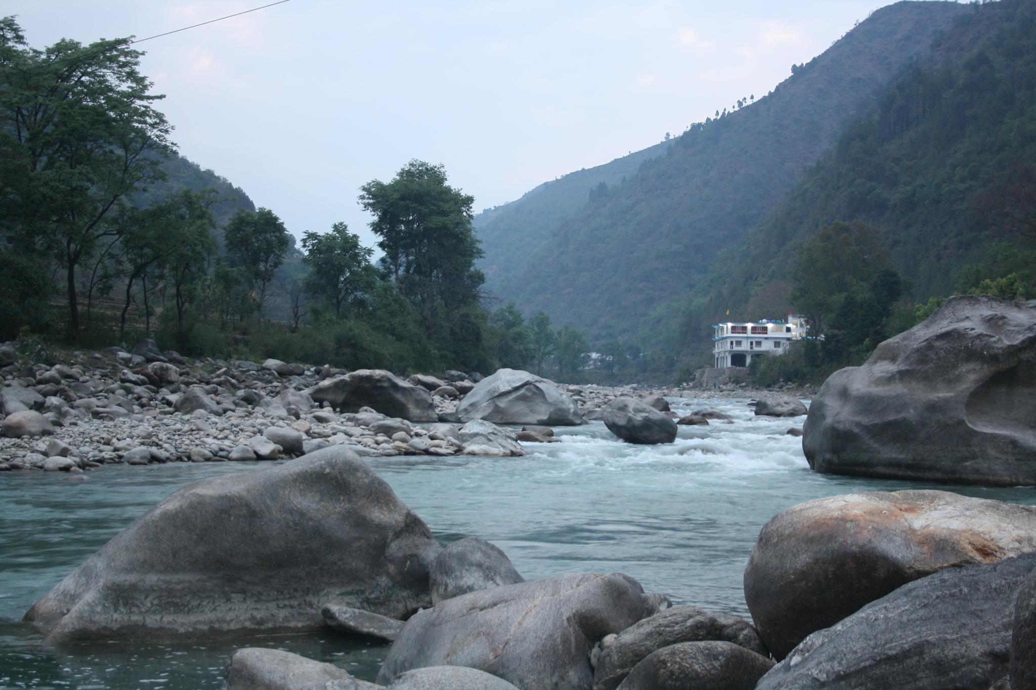
Alaknanda River from Badrinath on the left joins the swifter flowing Mandakini from Badrinath on the right at Rudraprayag, the second of the Pancha Prayags. We all bathed here today during the Namarupa Pancha Prayag Yatra. Brave Yatris! ॐ
Mandakini river, originating at Kedarnath

#rudraprayag #jaimaagange

Mandakini at Syalsaur TRH

Rudraprayag - Confluence of Alaknanda & Mandakini

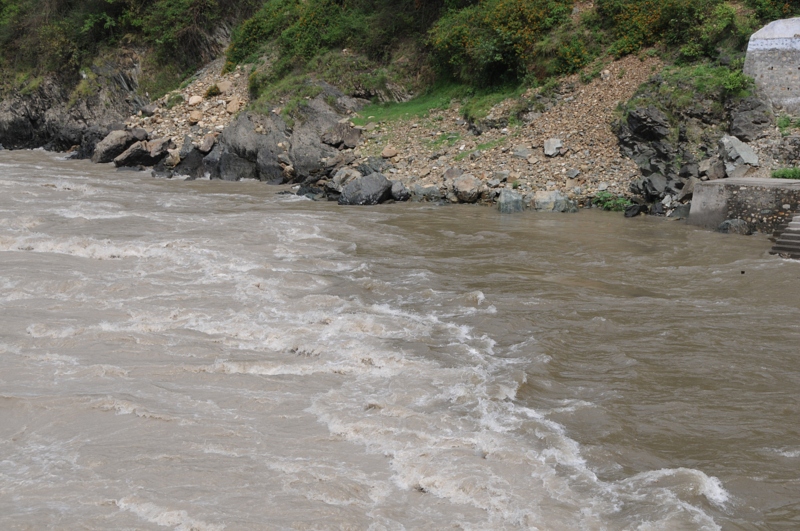
Nature fury

Rough roads ahead

'Calm' Mandakini river

A large boulder greets us

Umm This was Road once!

7 months on and yet evidence of catastrophe evident

Lives and roads to be rebuilt

Rudraprayag, Uttarakhand

CSP_2966.JPG
Rudraprayag, Uttarakhand

Rudraprayag, Uttarakhand

Kedar nath and Badri Nath (498)
Topographic Map of Tilwara, Uttarakhand, India
Find elevation by address:

Places near Tilwara, Uttarakhand, India:
Karndhar
Tuneta
Durgadhar
Koteshwar Mahadev Mandir
Rudraprayag
Agastmuni
Chopta
Ratura
Maniguh
Manjuli
Shivanandi
Madola
Bazeera
Batoli
India Post Chandra Puri
Chandrapuri
Gholtir
Dashjula Kandai
Surari
Nagrasu
Recent Searches:
- Elevation of Falling Spring Rd, Clyde, NC, USA
- Elevation of Kingsfield St, Castle Rock, CO, USA
- Elevation of AMELIA CT HSE, VA, USA
- Elevation of Abbey Dr, Virginia Beach, VA, USA
- Elevation of Brooks Lp, Spearfish, SD, USA
- Elevation of Panther Dr, Maggie Valley, NC, USA
- Elevation of Jais St - Wadi Shehah - Ras al Khaimah - United Arab Emirates
- Elevation of Shawnee Avenue, Shawnee Ave, Easton, PA, USA
- Elevation of Scenic Shore Dr, Kingwood Area, TX, USA
- Elevation of W Prive Cir, Delray Beach, FL, USA