Elevation of Dashjula Kandai, Uttarakhand, India
Location: India > Uttarakhand > Rudraprayag >
Longitude: 79.1146309
Latitude: 30.3362466
Elevation: 1761m / 5778feet
Barometric Pressure: 82KPa
Elevation Map:
Satellite Map:
Related Photos:
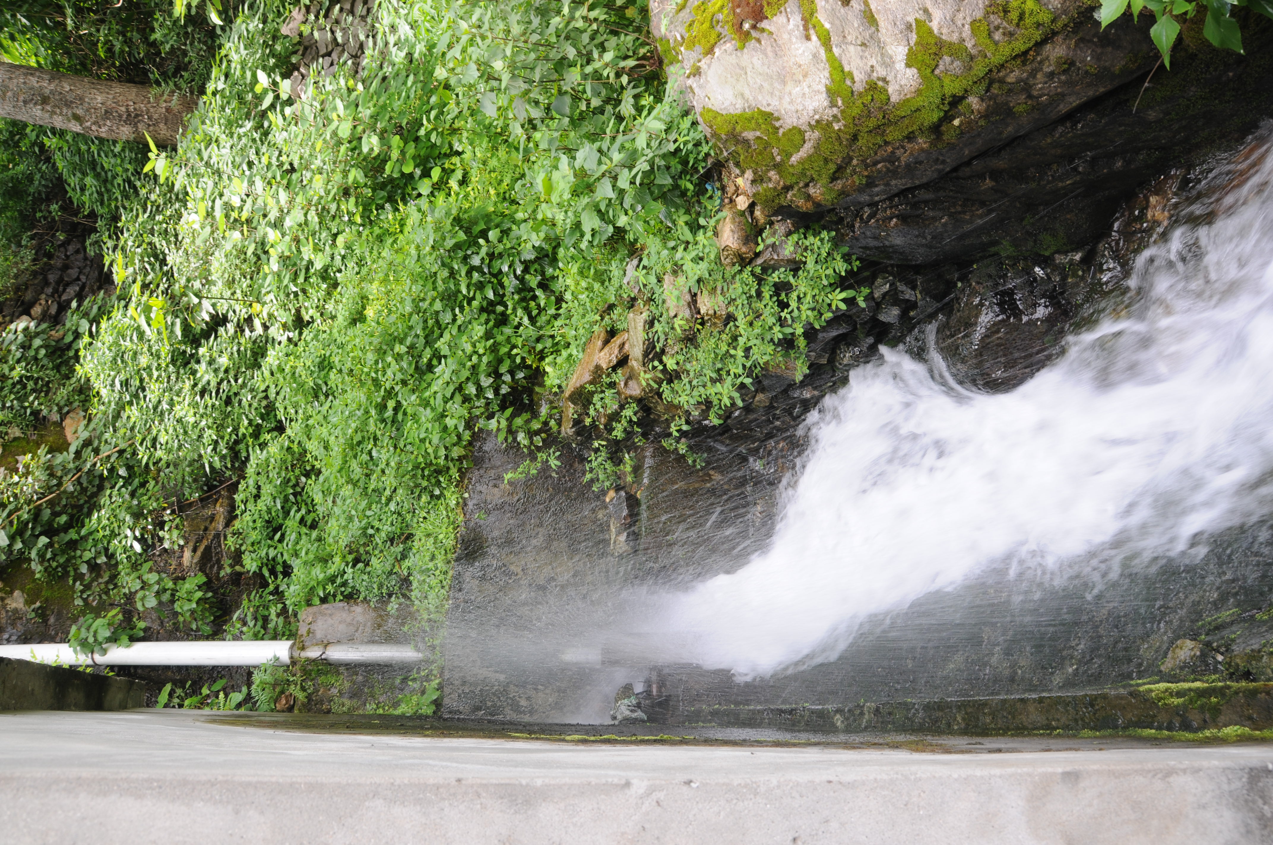
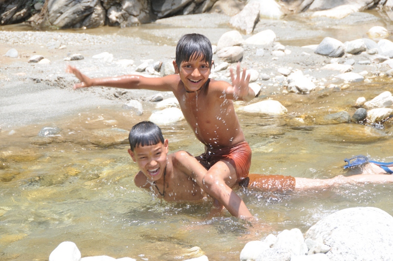
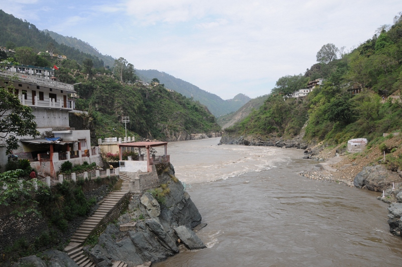
CSP_3014.JPG
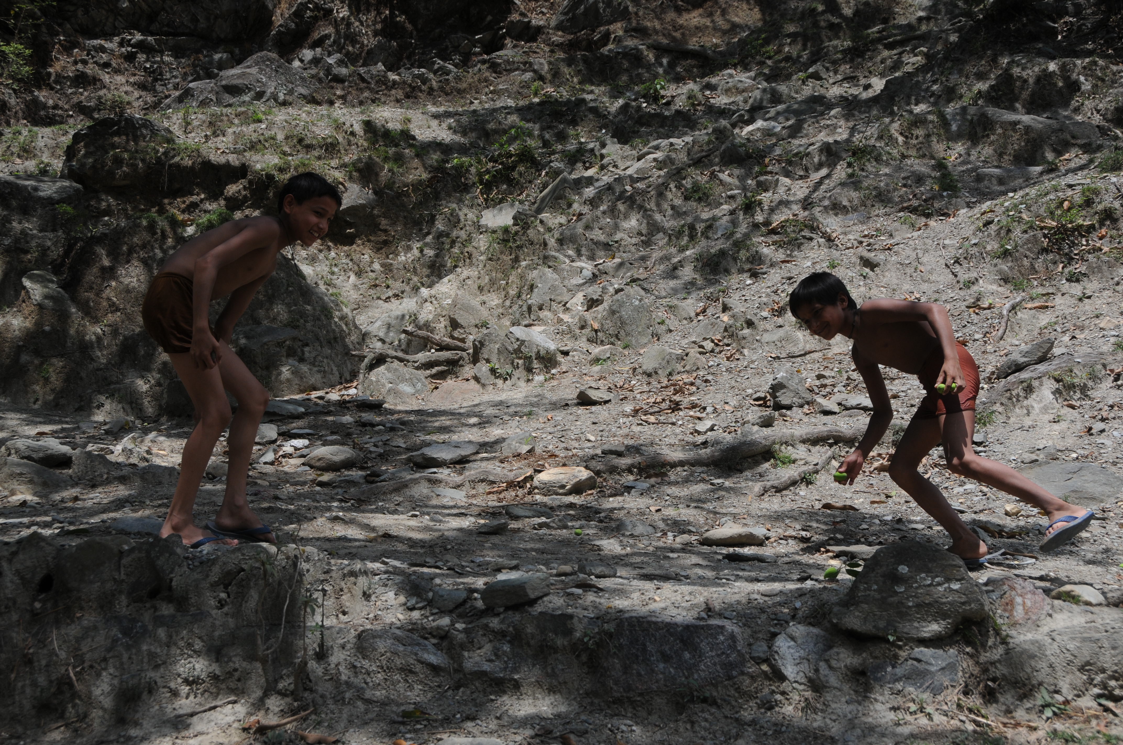
CSP_3072.JPG
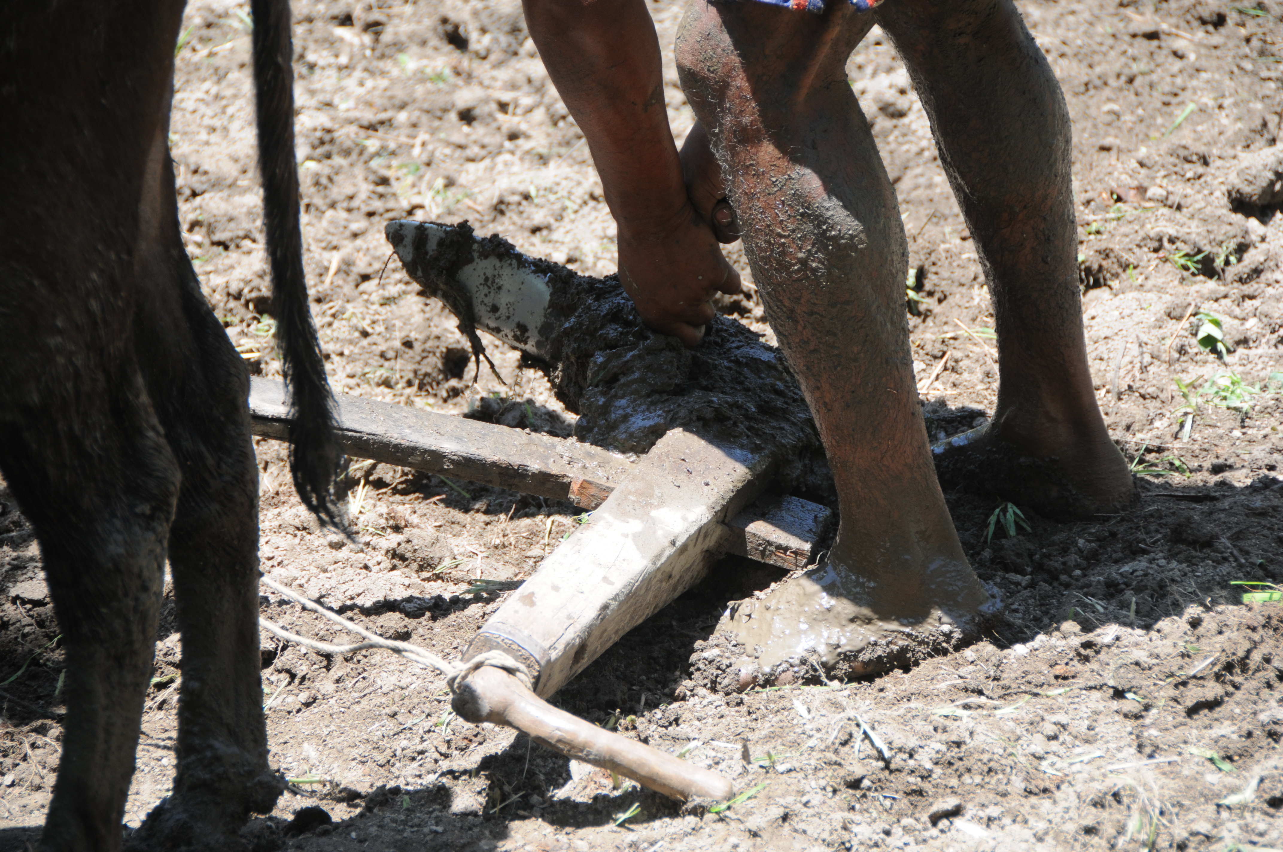
CSP_3041.JPG

CSP_2980.JPG
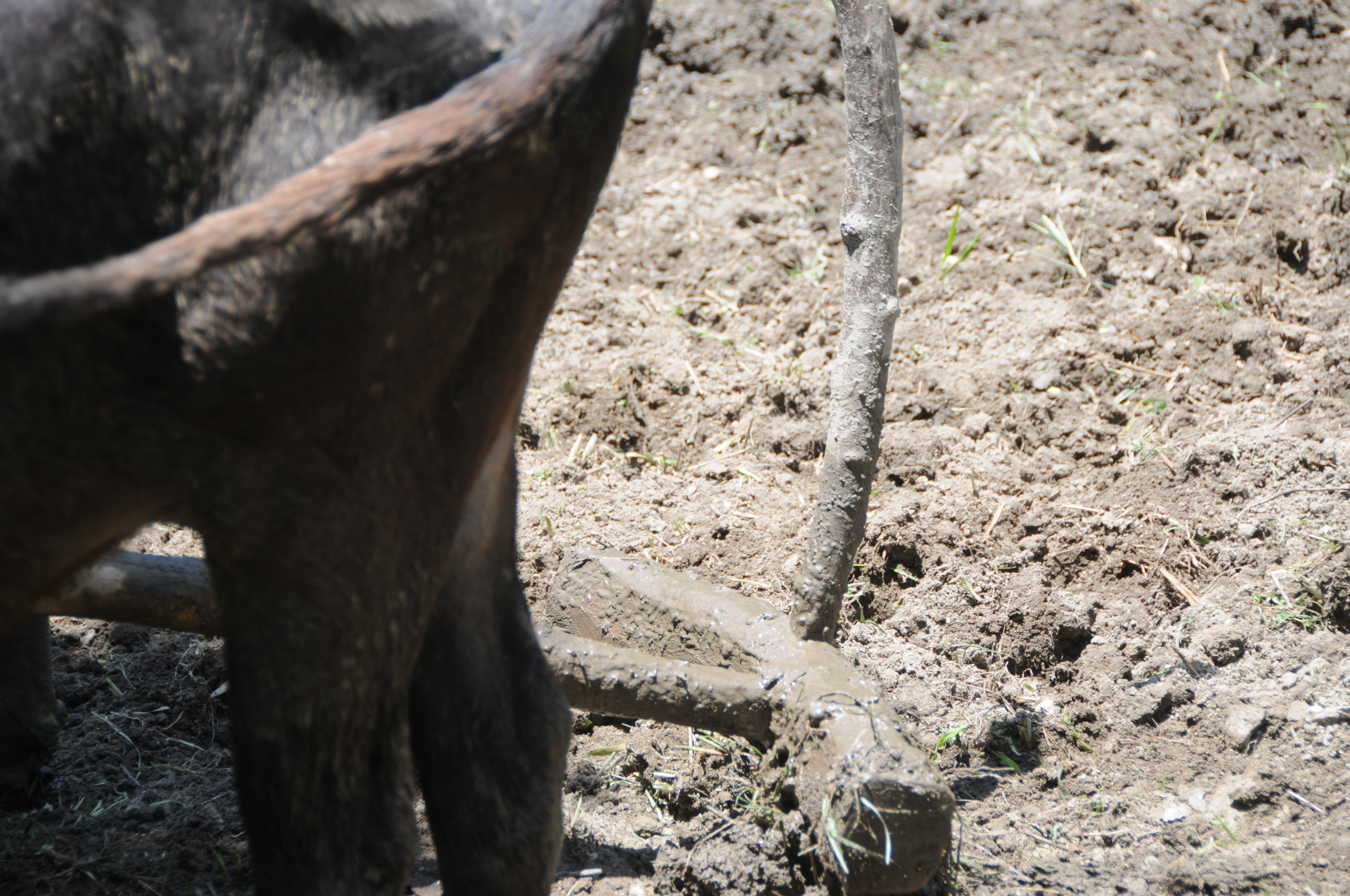
CSP_3049.JPG
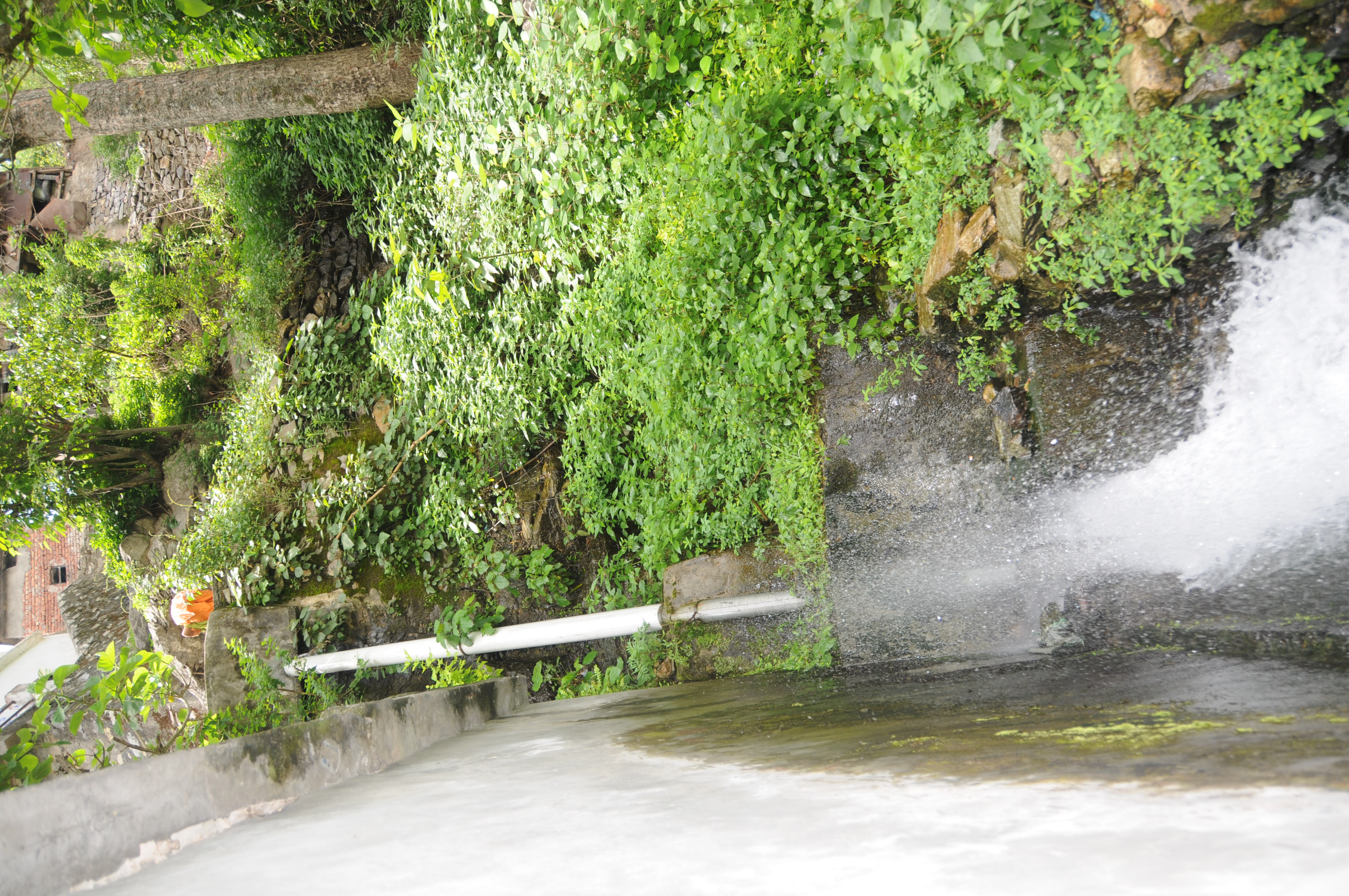
CSP_3018.JPG
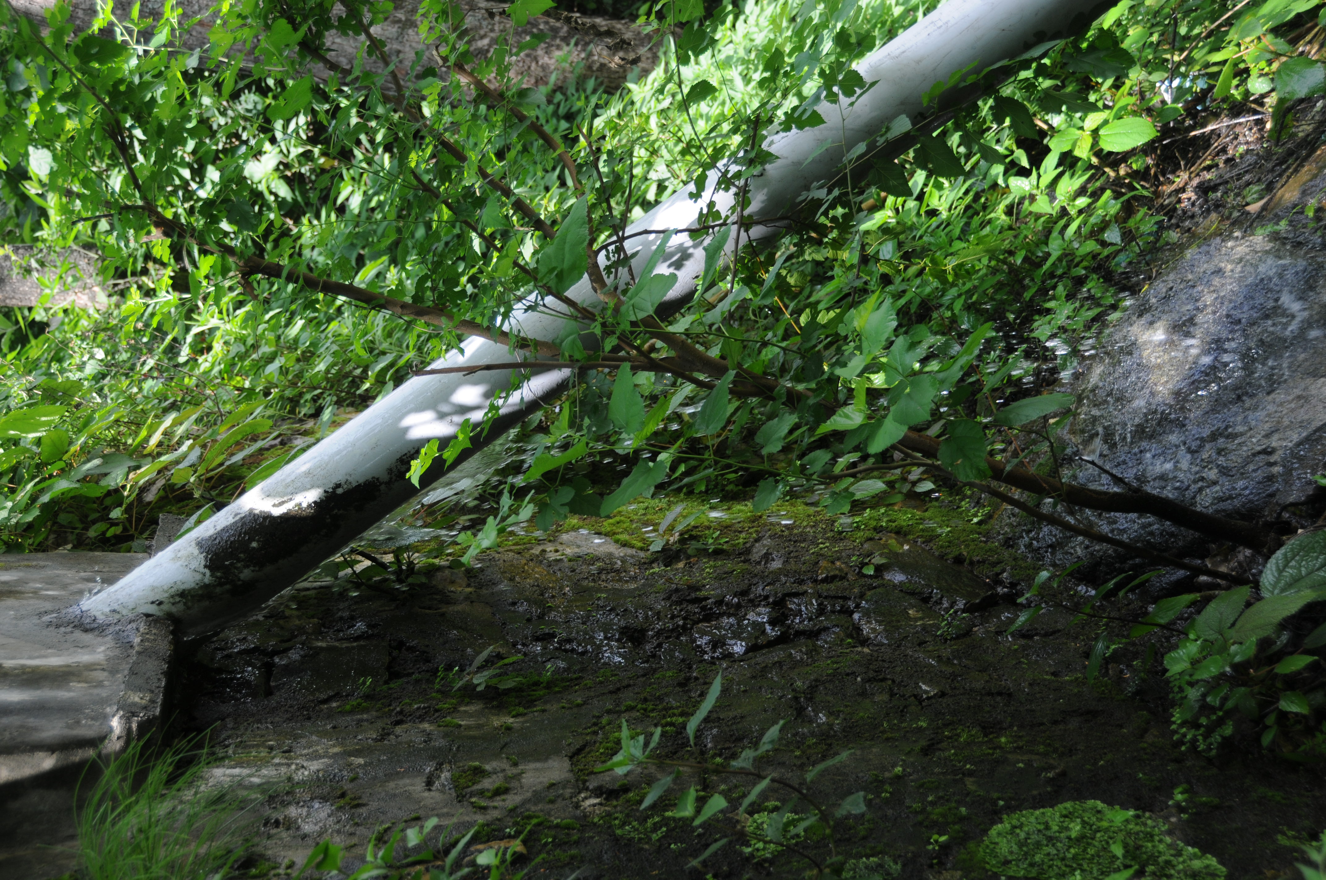
CSP_3022.JPG
CSP_3039.JPG
CSP_2979.JPG
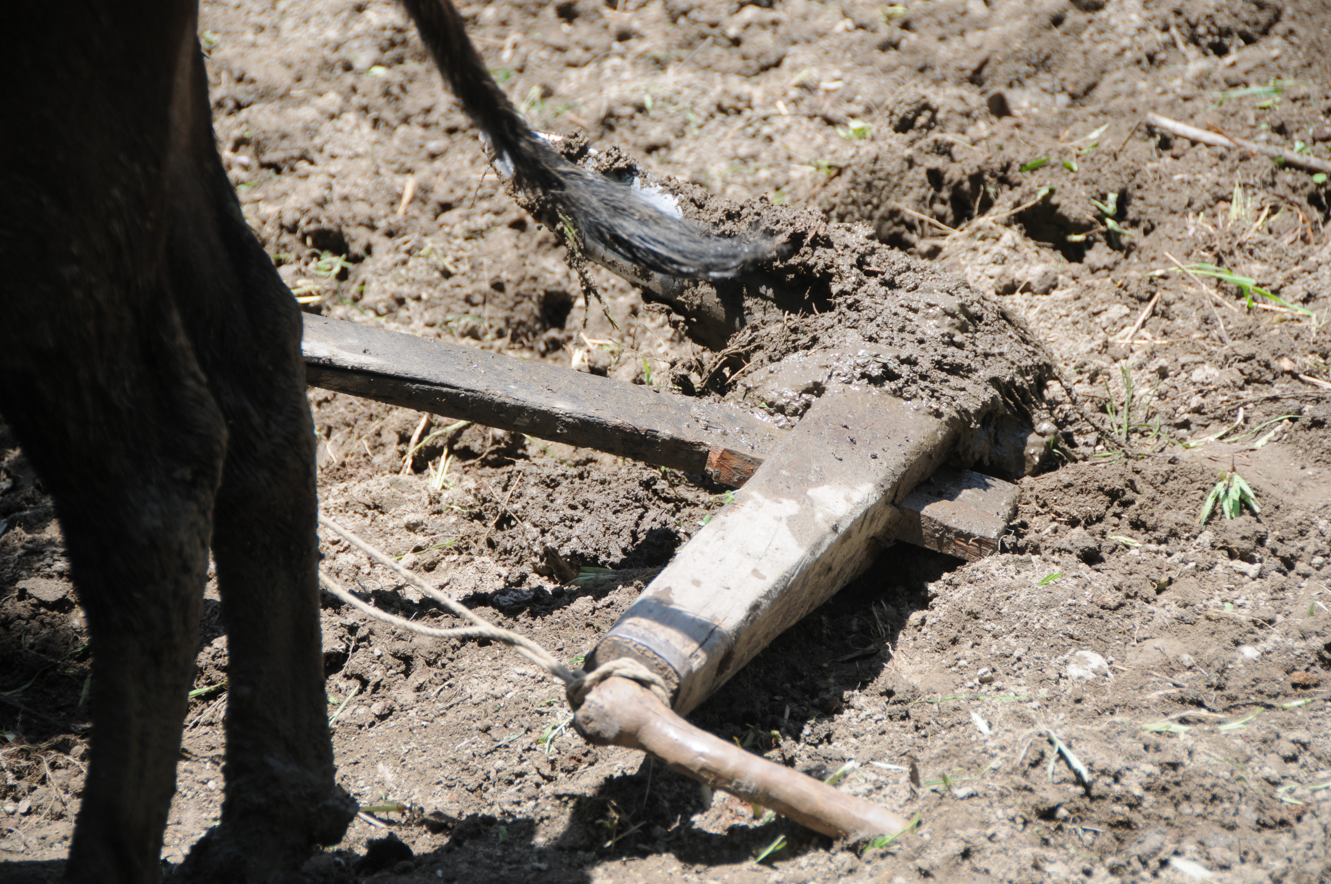
CSP_3042.JPG
Gochar, Uttarakhand
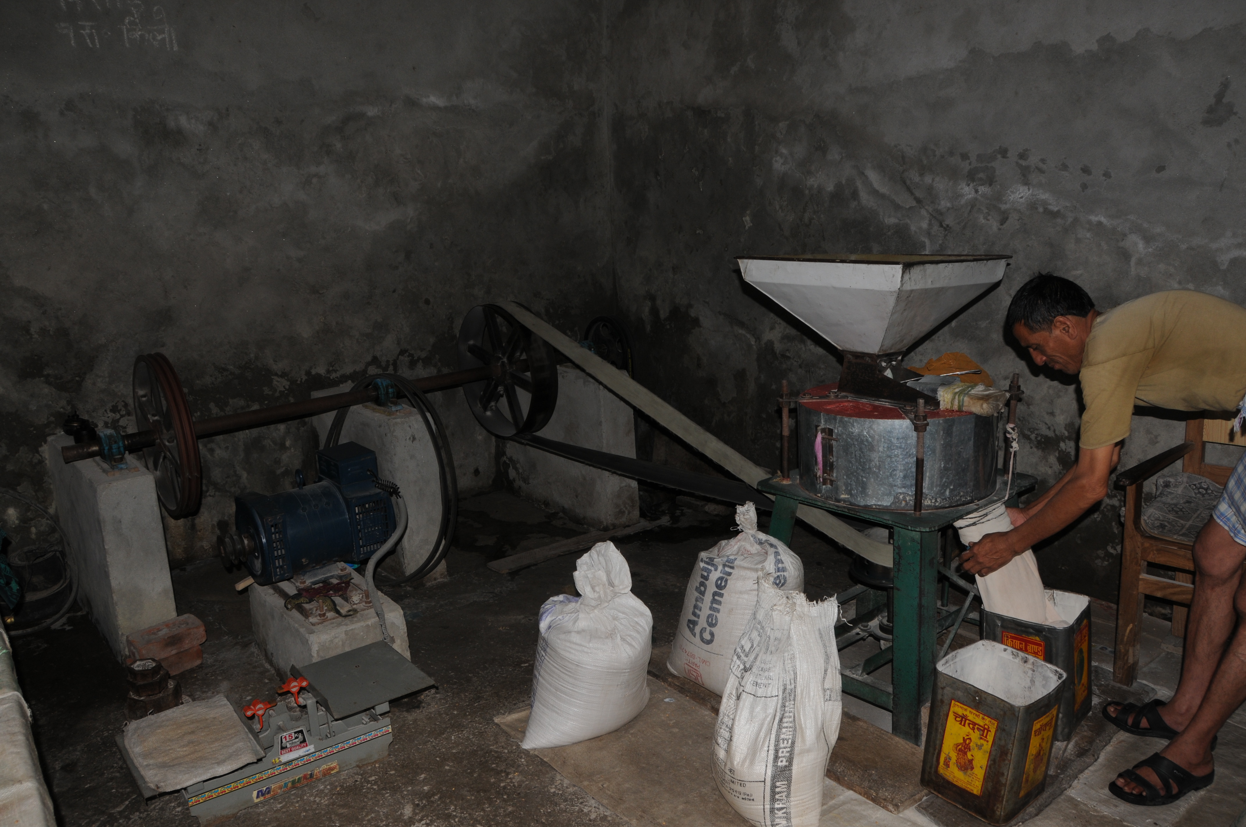
CSP_3013.JPG
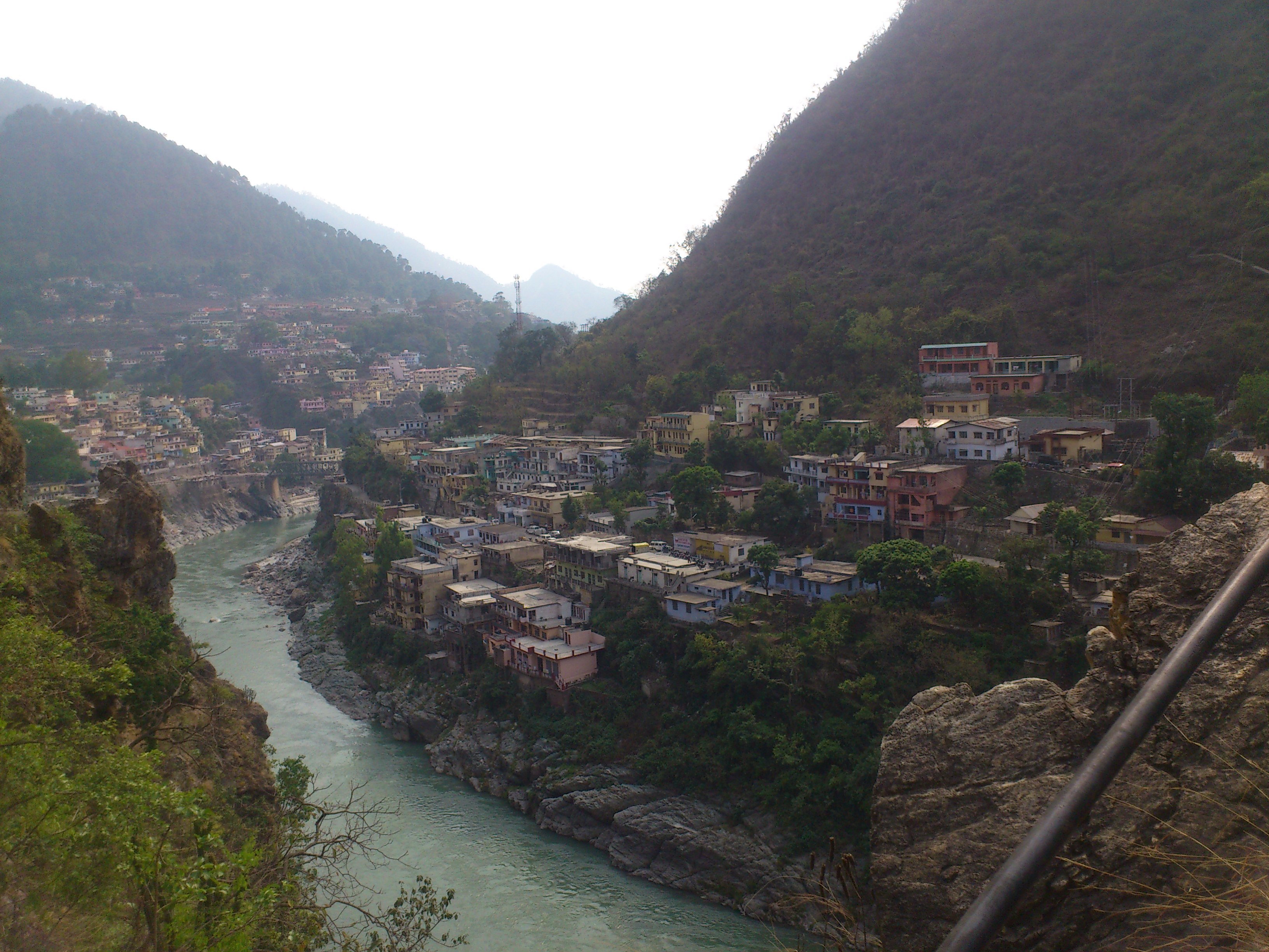
Rudraprayag, Uttarakhand
CSP_3028.JPG
CSP_3038.JPG
CSP_3010.JPG
CSP_3012.JPG

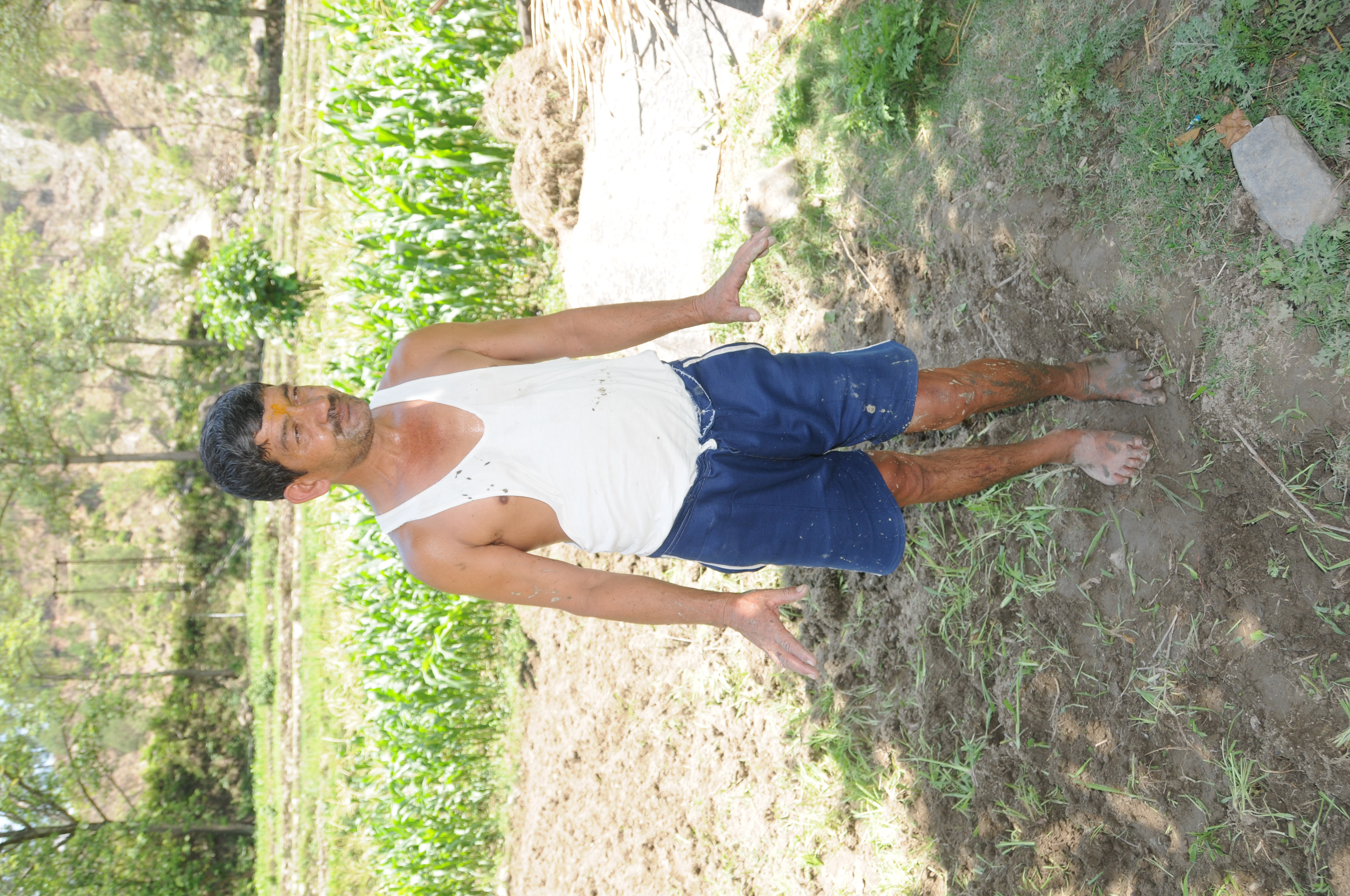
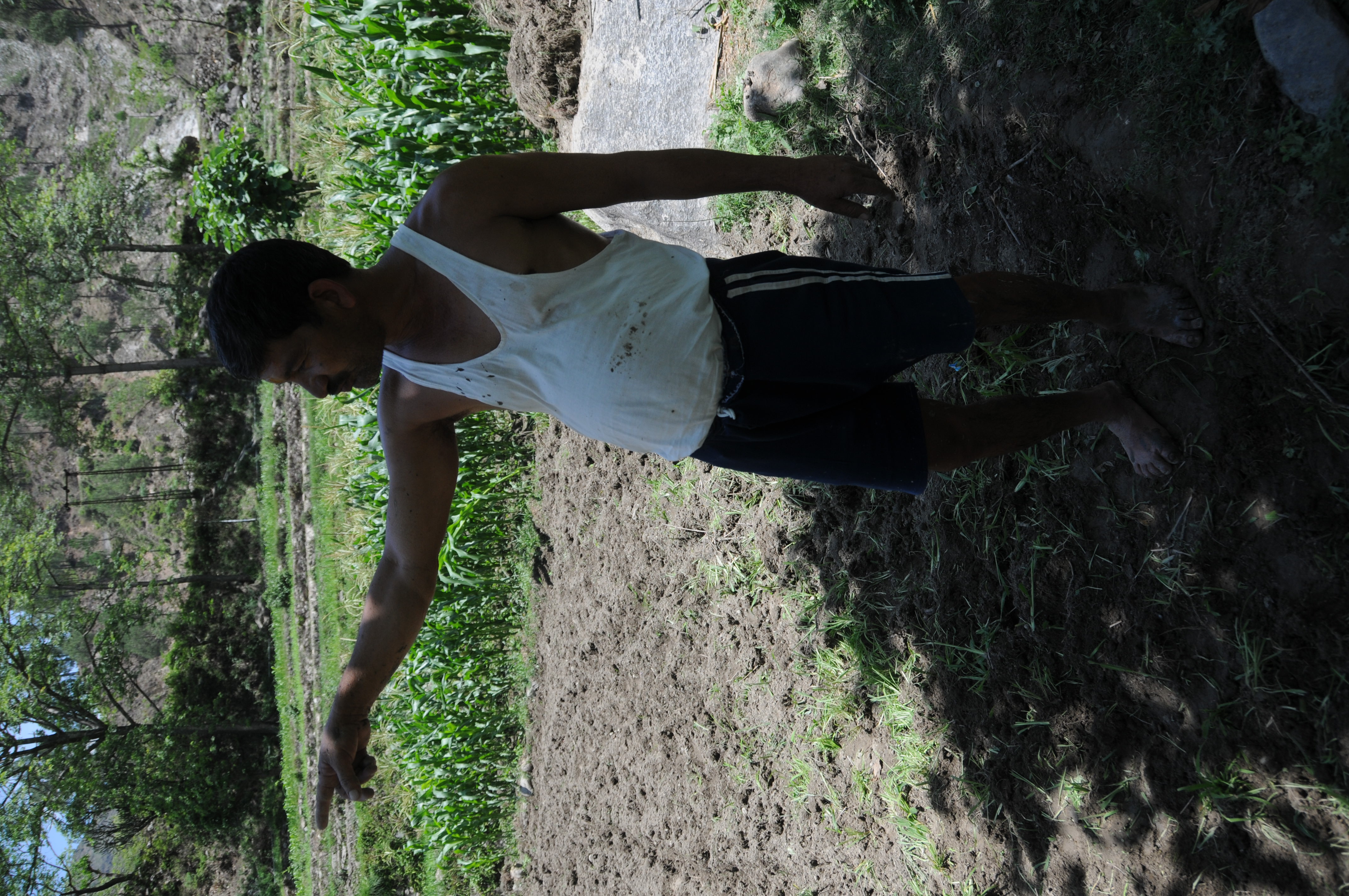
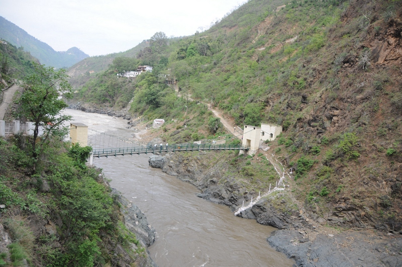
Nagrasu, Uttarakhand
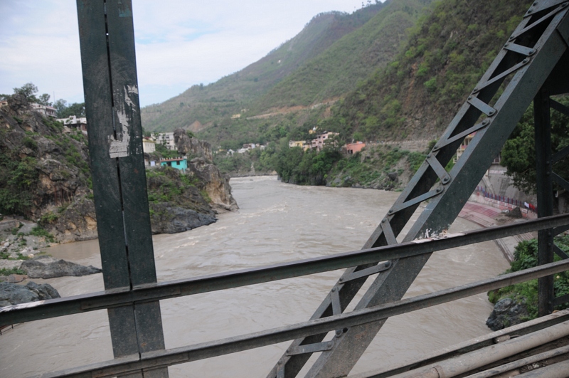
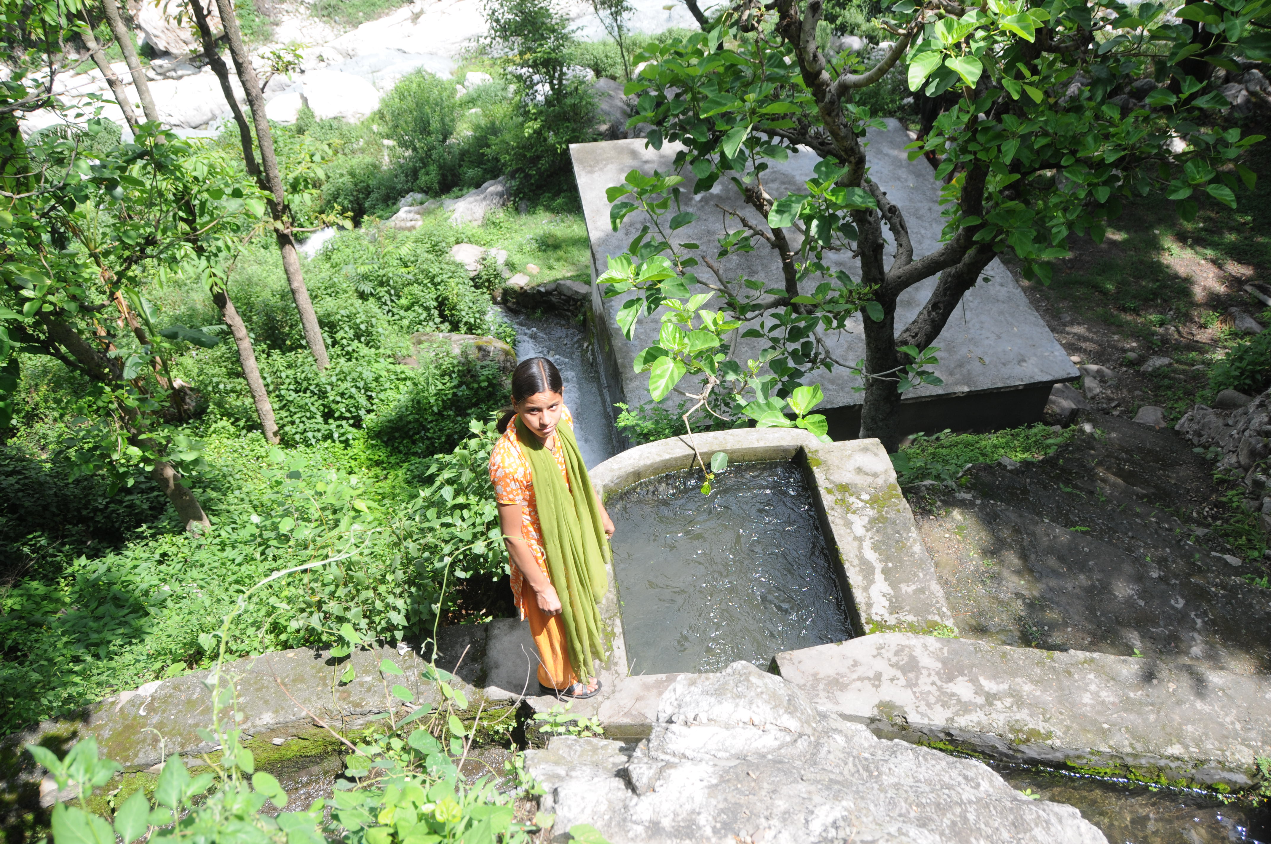
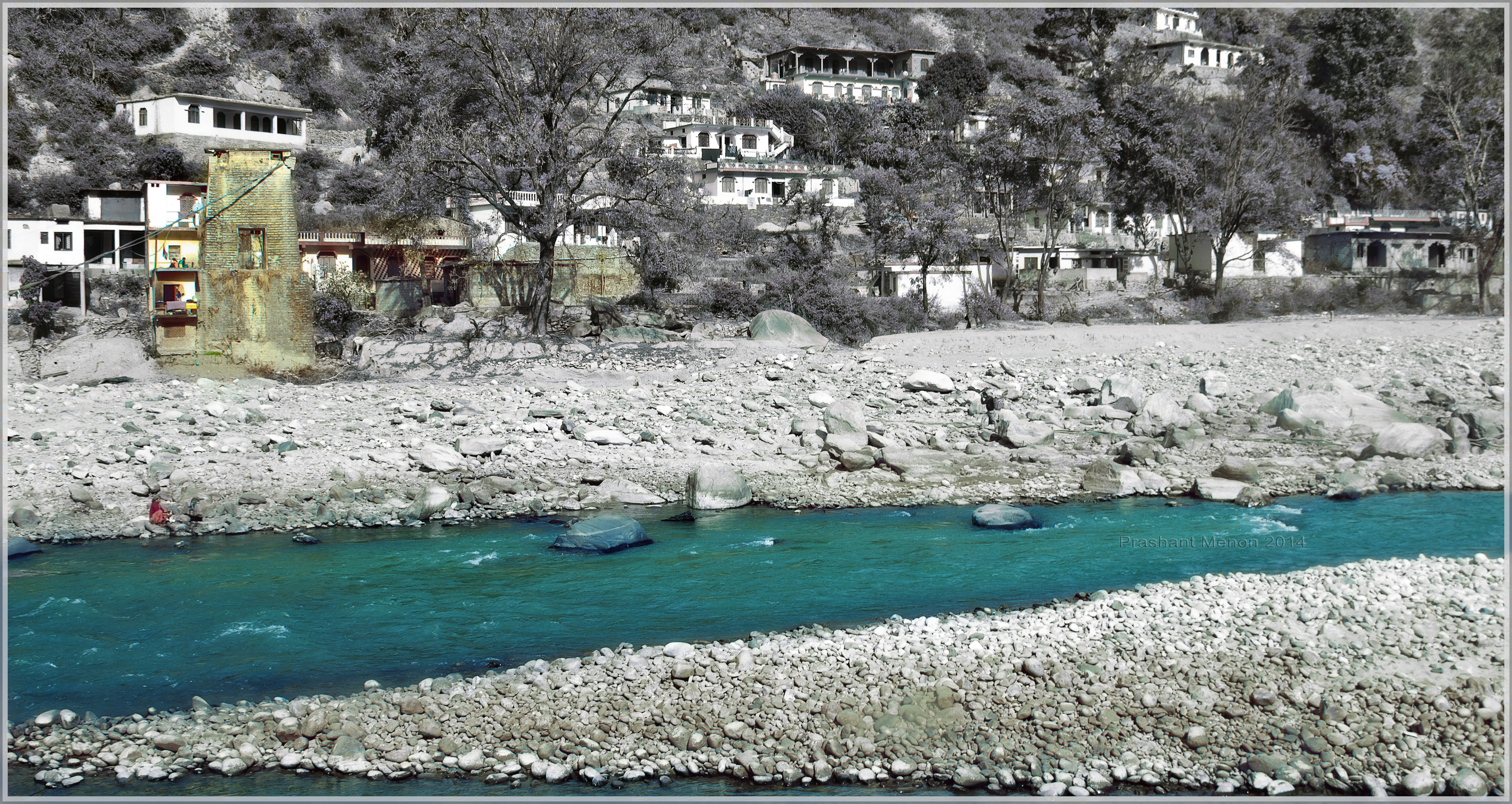
Rudraprayag, Uttarakhand
Rudraprayag, Uttarakhand
Rudraprayag, Uttarakhand
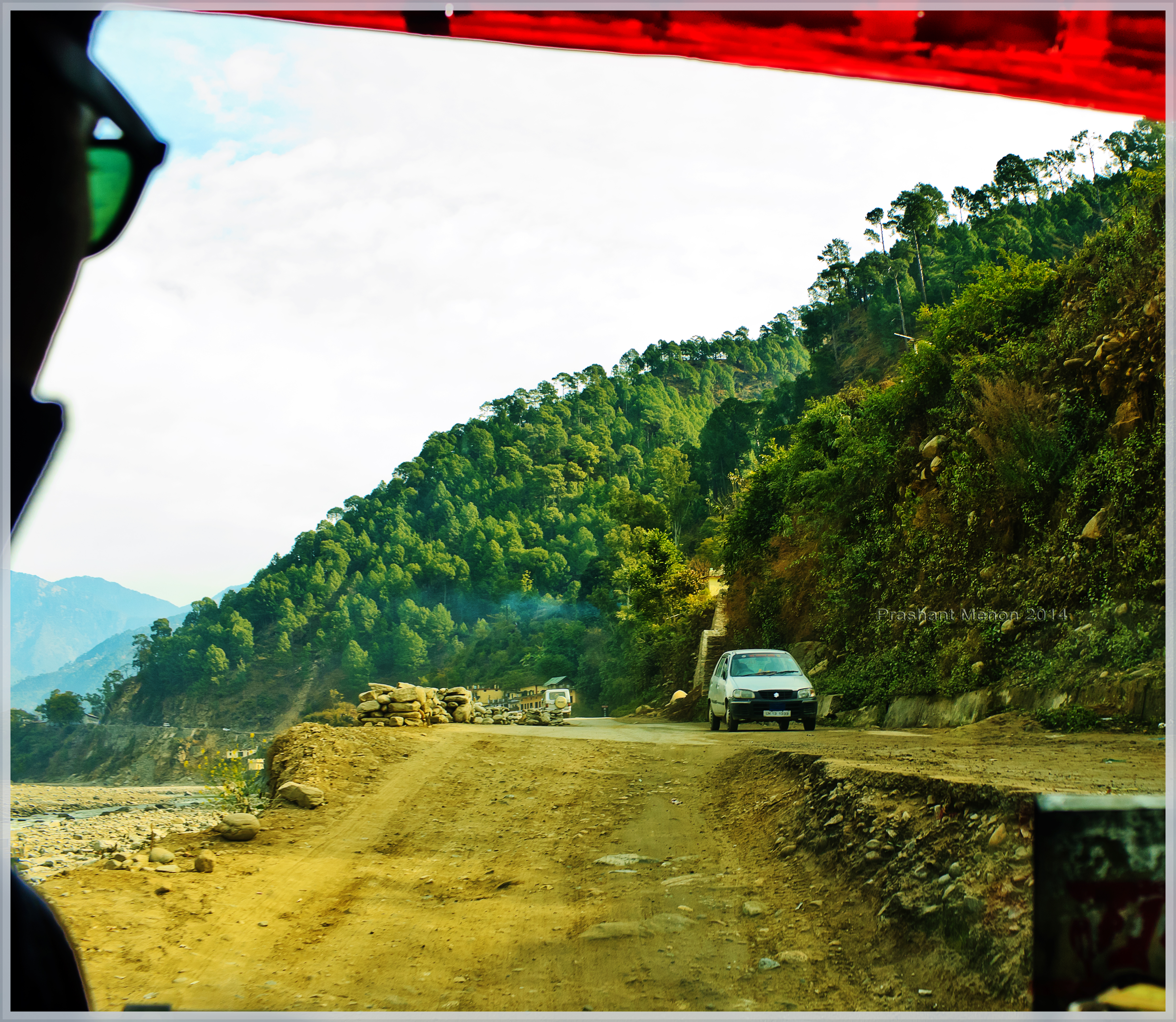
Umm This was Road once!

Rough roads ahead
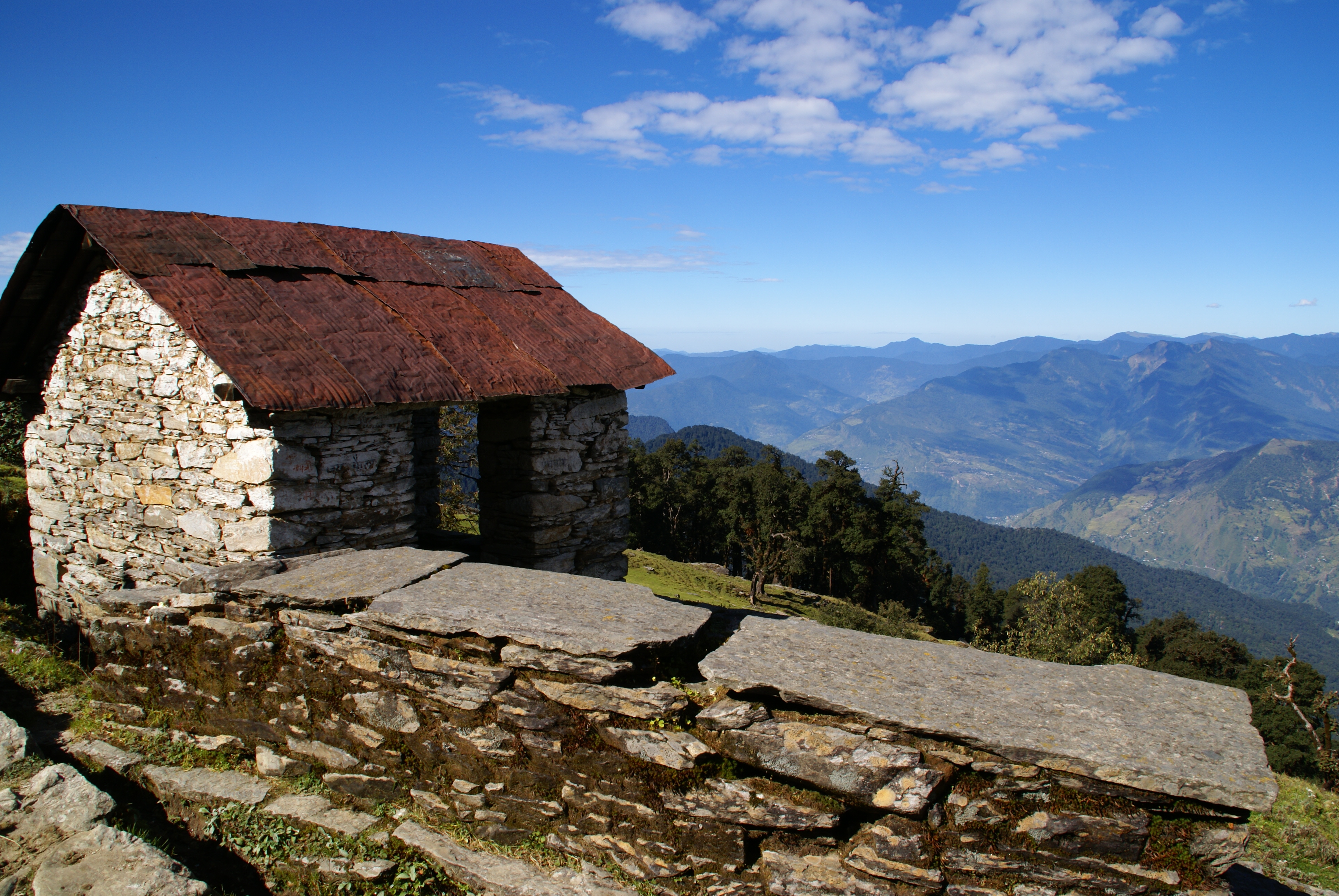
Tungnath Hut

Nature fury
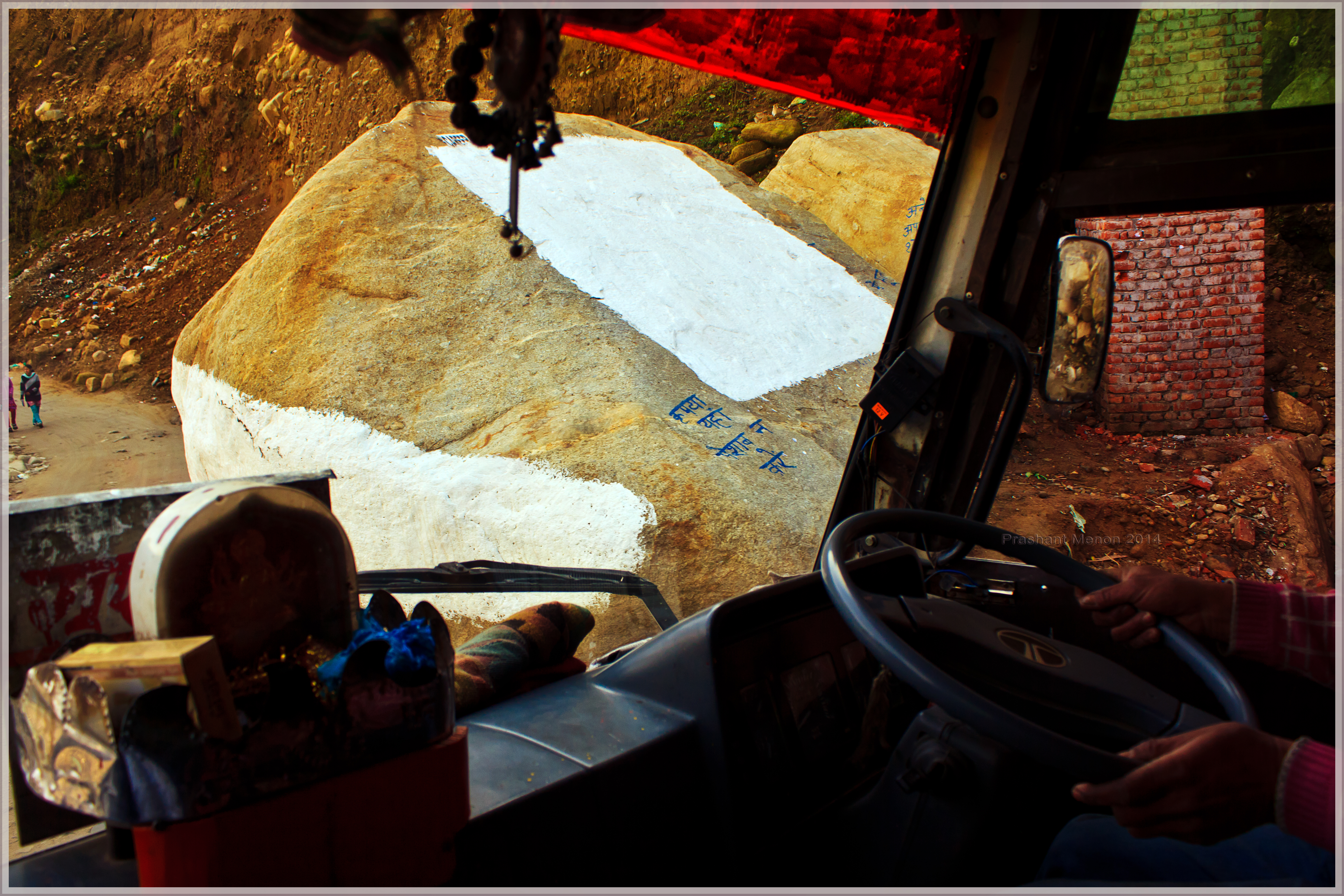
A large boulder greets us
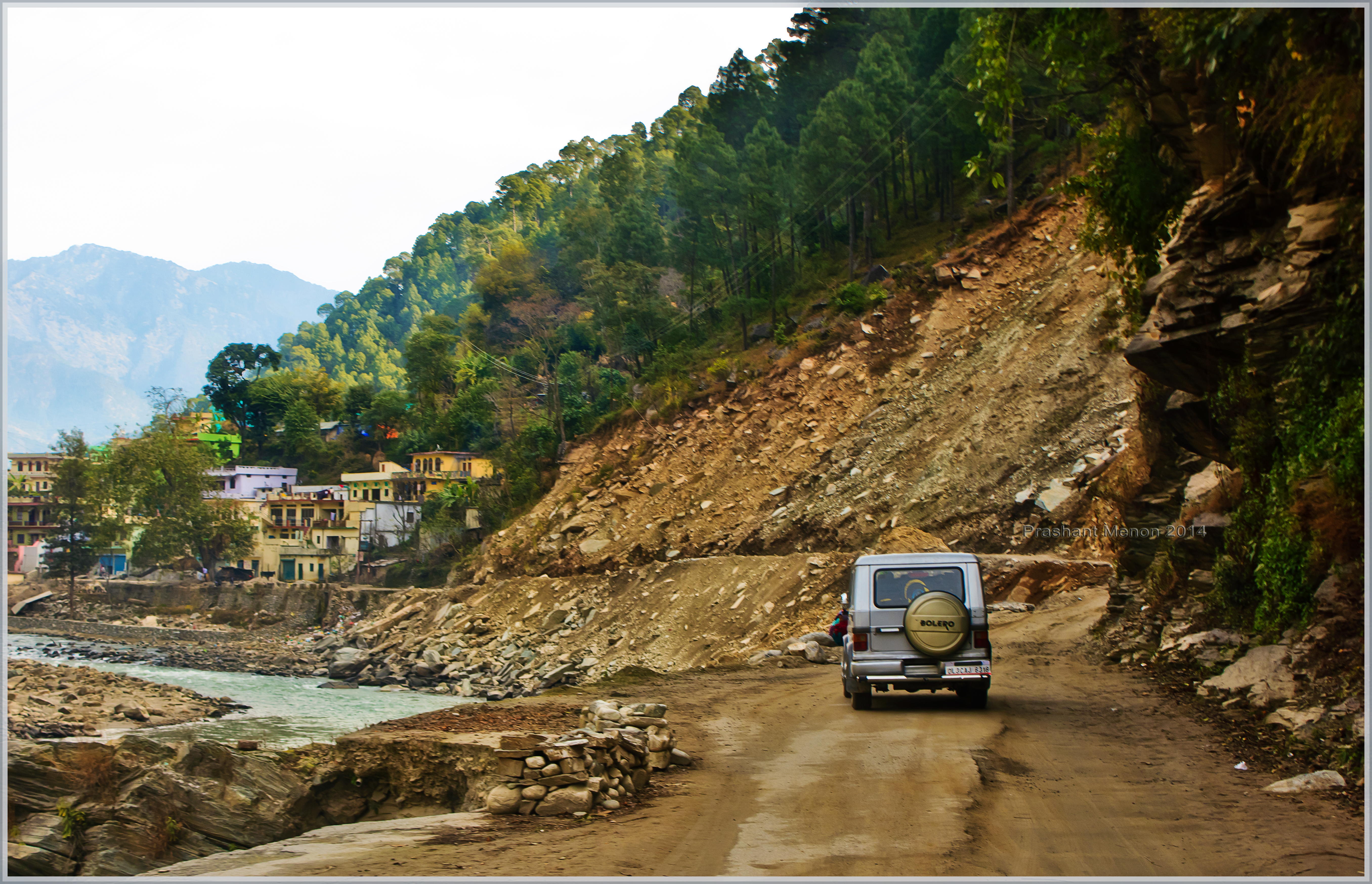
Lives and roads to be rebuilt
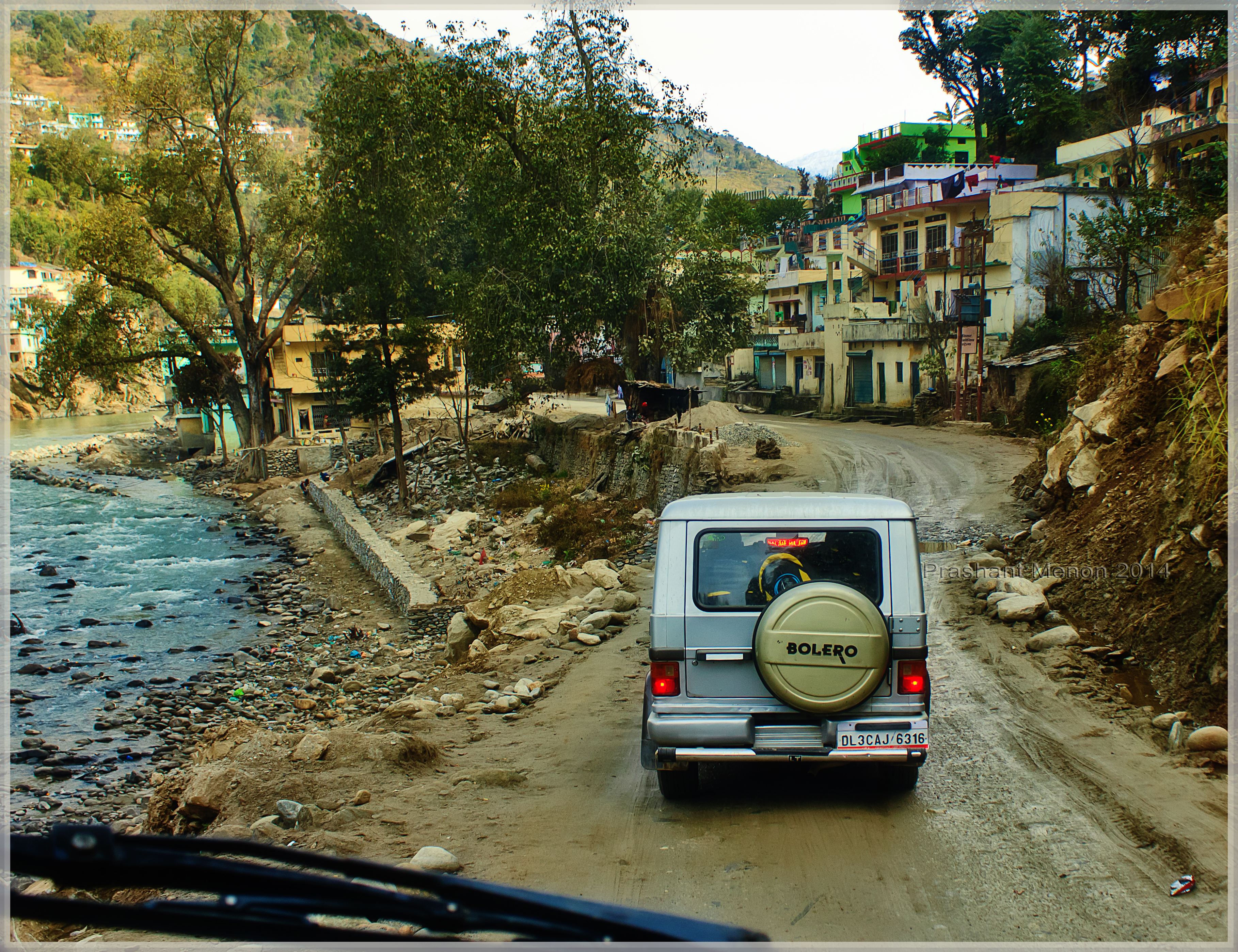
7 months on and yet evidence of catastrophe evident
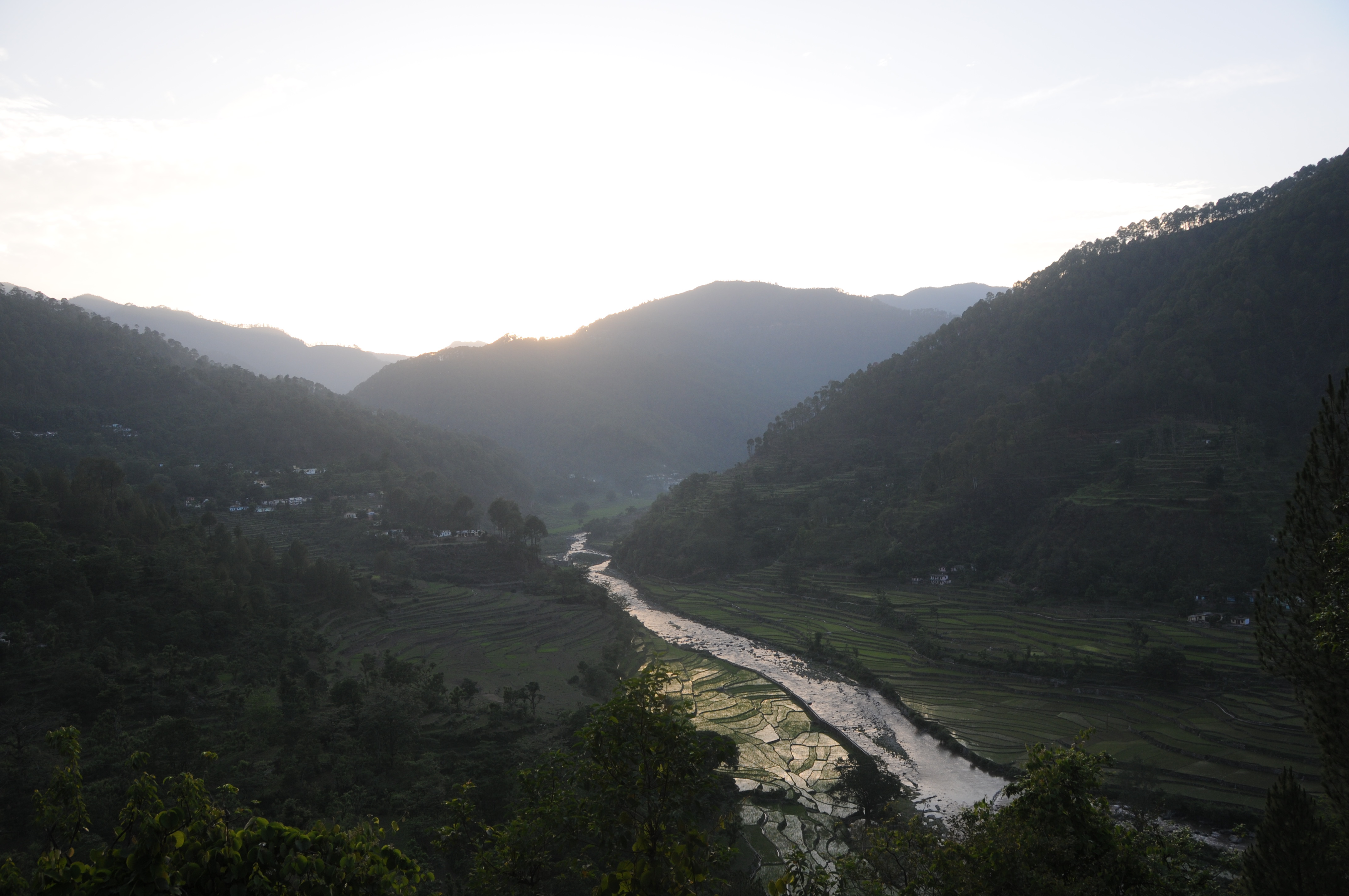
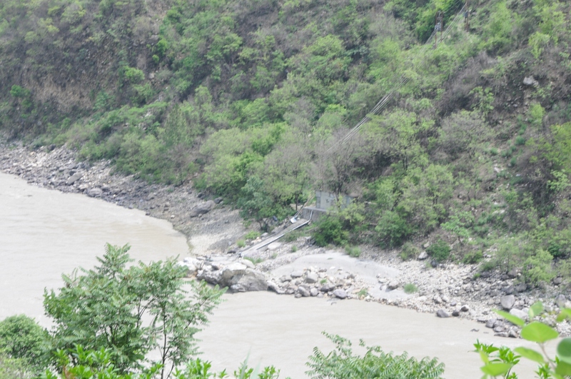
'Calm' Mandakini river
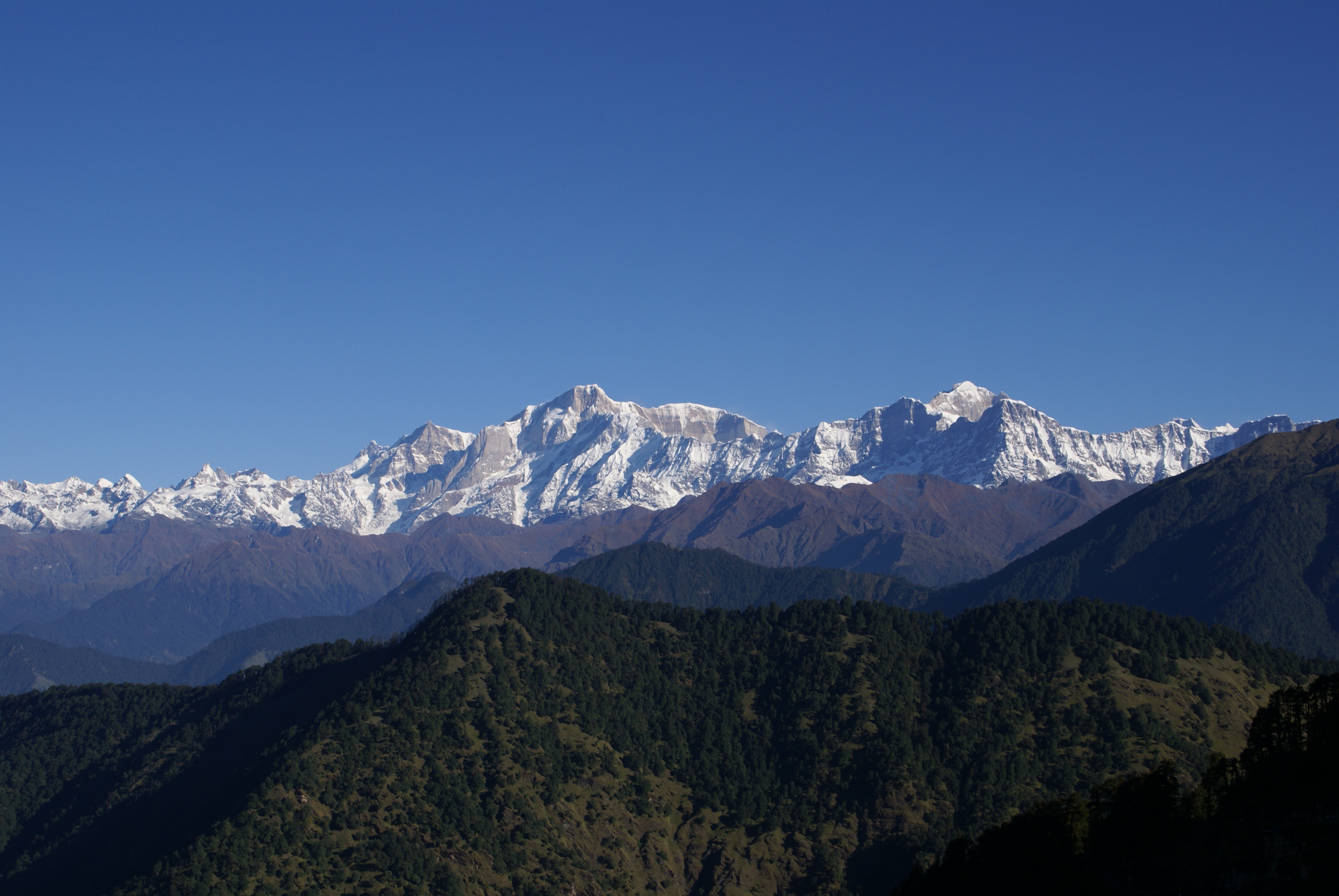
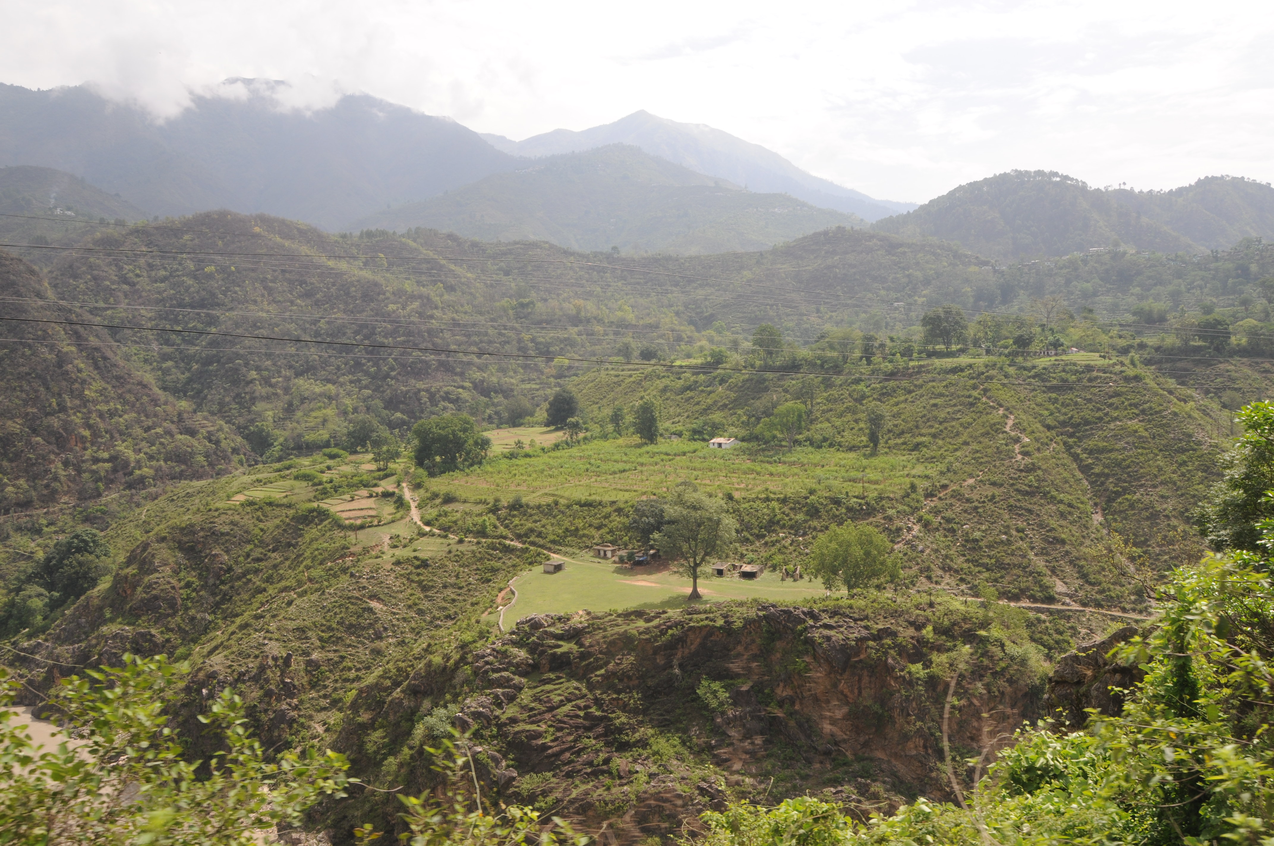
Chopta Mountain View

Kaleshwar - Alaknanda River
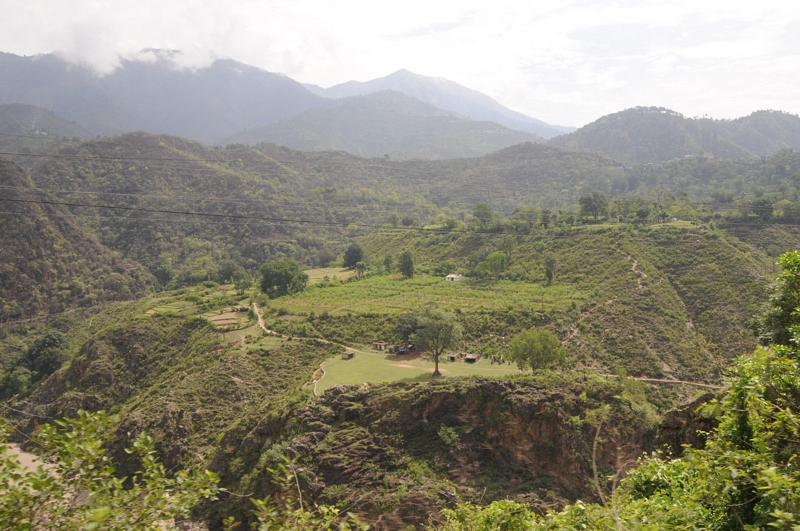
Ratura, Uttarakhand
Ratura, Uttarakhand
Kedar nath and Badri Nath (498)
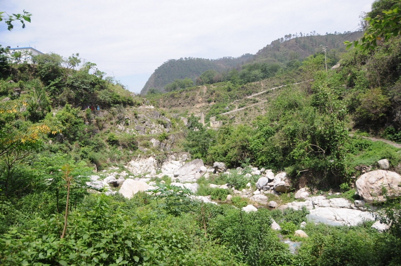
Nagrasu, Uttarakhand
Topographic Map of Dashjula Kandai, Uttarakhand, India
Find elevation by address:

Places near Dashjula Kandai, Uttarakhand, India:
Chhinka
Nagrasu
Madola
Gholtir
Shivanandi
Chopta
Maniguh
Ratura
Durgadhar
India Post Chandra Puri
Chandrapuri
Agastmuni
Koteshwar Mahadev Mandir
Karndhar
Karnaprayag
Siwai
Tilwara
Rudraprayag
Makku Math
Rudraprayag
Recent Searches:
- Elevation of Elwyn Dr, Roanoke Rapids, NC, USA
- Elevation of Congressional Dr, Stevensville, MD, USA
- Elevation of Bellview Rd, McLean, VA, USA
- Elevation of Stage Island Rd, Chatham, MA, USA
- Elevation of Shibuya Scramble Crossing, 21 Udagawacho, Shibuya City, Tokyo -, Japan
- Elevation of Jadagoniai, Kaunas District Municipality, Lithuania
- Elevation of Pagonija rock, Kranto 7-oji g. 8"N, Kaunas, Lithuania
- Elevation of Co Rd 87, Jamestown, CO, USA
- Elevation of Tenjo, Cundinamarca, Colombia
- Elevation of Côte-des-Neiges, Montreal, QC H4A 3J6, Canada