Elevation of Madola, Uttarakhand, India
Location: India > Uttarakhand > Rudraprayag >
Longitude: 79.0793341
Latitude: 30.3090789
Elevation: 930m / 3051feet
Barometric Pressure: 91KPa
Elevation Map:
Satellite Map:
Related Photos:

Karn prayag, A view.

Gochar, Uttarakhand

Rudraprayag, Uttarakhand

Rudraprayag, Uttarakhand

Rudraprayag, Uttarakhand

Rudraprayag, Uttarakhand

Rudraprayag, Uttarakhand
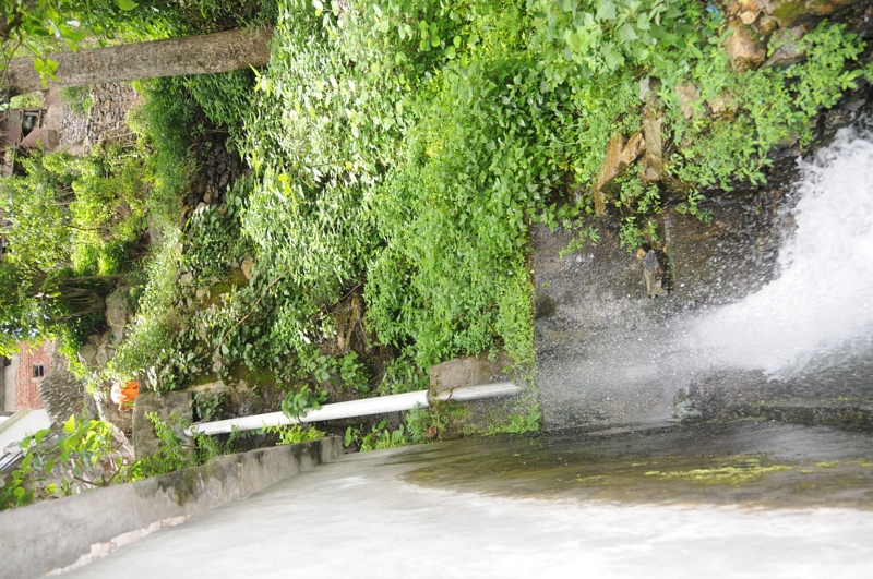
Nagrasu, Uttarakhand

Rudraprayag, Uttarakhand

Nagrasu, Uttarakhand

Gochar, Uttarakhand

Rudraprayag, Uttarakhand

Rudraprayag, Uttarakhand

Karnaprayag, Uttarakhand

Gochar, Uttarakhand

Gochar, Uttarakhand

Ratura, Uttarakhand

Gochar, Uttarakhand

Nagrasu, Uttarakhand

Gochar, Uttarakhand

Gochar, Uttarakhand

Good morning, from Rudraprayag

Pure bliss

Alaknanda River from Badrinath on the left joins the swifter flowing Mandakini from Badrinath on the right at Rudraprayag, the second of the Pancha Prayags. We all bathed here today during the Namarupa Pancha Prayag Yatra. Brave Yatris! ॐ

At Langaasu near Karnaprayag...
Mandakini river, originating at Kedarnath

#rudraprayag #jaimaagange

Mandakini at Syalsaur TRH

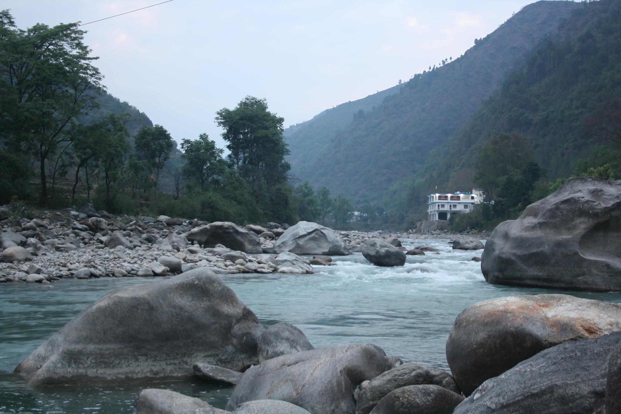
Karnaprayag - Confluence of Alaknanda and Pindar

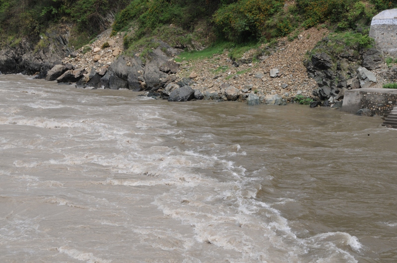
Rudraprayag - Confluence of Alaknanda & Mandakini

Nature fury

Road to heaven...

Rough roads ahead

Umm This was Road once!

7 months on and yet evidence of catastrophe evident

Lives and roads to be rebuilt

Rudraprayag, Uttarakhand

Rudraprayag, Uttarakhand
Rudraprayag, Uttarakhand

Rudraprayag, Uttarakhand
Topographic Map of Madola, Uttarakhand, India
Find elevation by address:

Places near Madola, Uttarakhand, India:
Shivanandi
Gholtir
Nagrasu
Ratura
Dashjula Kandai
Chopta
Chhinka
Durgadhar
Koteshwar Mahadev Mandir
Maniguh
Karndhar
Agastmuni
Rudraprayag
Tilwara
India Post Chandra Puri
Chandrapuri
Batoli
Surari
Karnaprayag
Tuneta
Recent Searches:
- Elevation of Congressional Dr, Stevensville, MD, USA
- Elevation of Bellview Rd, McLean, VA, USA
- Elevation of Stage Island Rd, Chatham, MA, USA
- Elevation of Shibuya Scramble Crossing, 21 Udagawacho, Shibuya City, Tokyo -, Japan
- Elevation of Jadagoniai, Kaunas District Municipality, Lithuania
- Elevation of Pagonija rock, Kranto 7-oji g. 8"N, Kaunas, Lithuania
- Elevation of Co Rd 87, Jamestown, CO, USA
- Elevation of Tenjo, Cundinamarca, Colombia
- Elevation of Côte-des-Neiges, Montreal, QC H4A 3J6, Canada
- Elevation of Bobcat Dr, Helena, MT, USA