Elevation of Manjuli, Uttarakhand, India
Location: India > Uttarakhand > Rudraprayag >
Longitude: 78.870819
Latitude: 30.3262508
Elevation: 2000m / 6562feet
Barometric Pressure: 79KPa
Elevation Map:
Satellite Map:
Related Photos:
CSP_2964.JPG
CSP_2966.JPG
CSP_2962.JPG
CSP_2965.JPG

CSP_2980.JPG
CSP_2973.JPG
CSP_2967.JPG
CSP_2956.JPG

CSP_2946.JPG
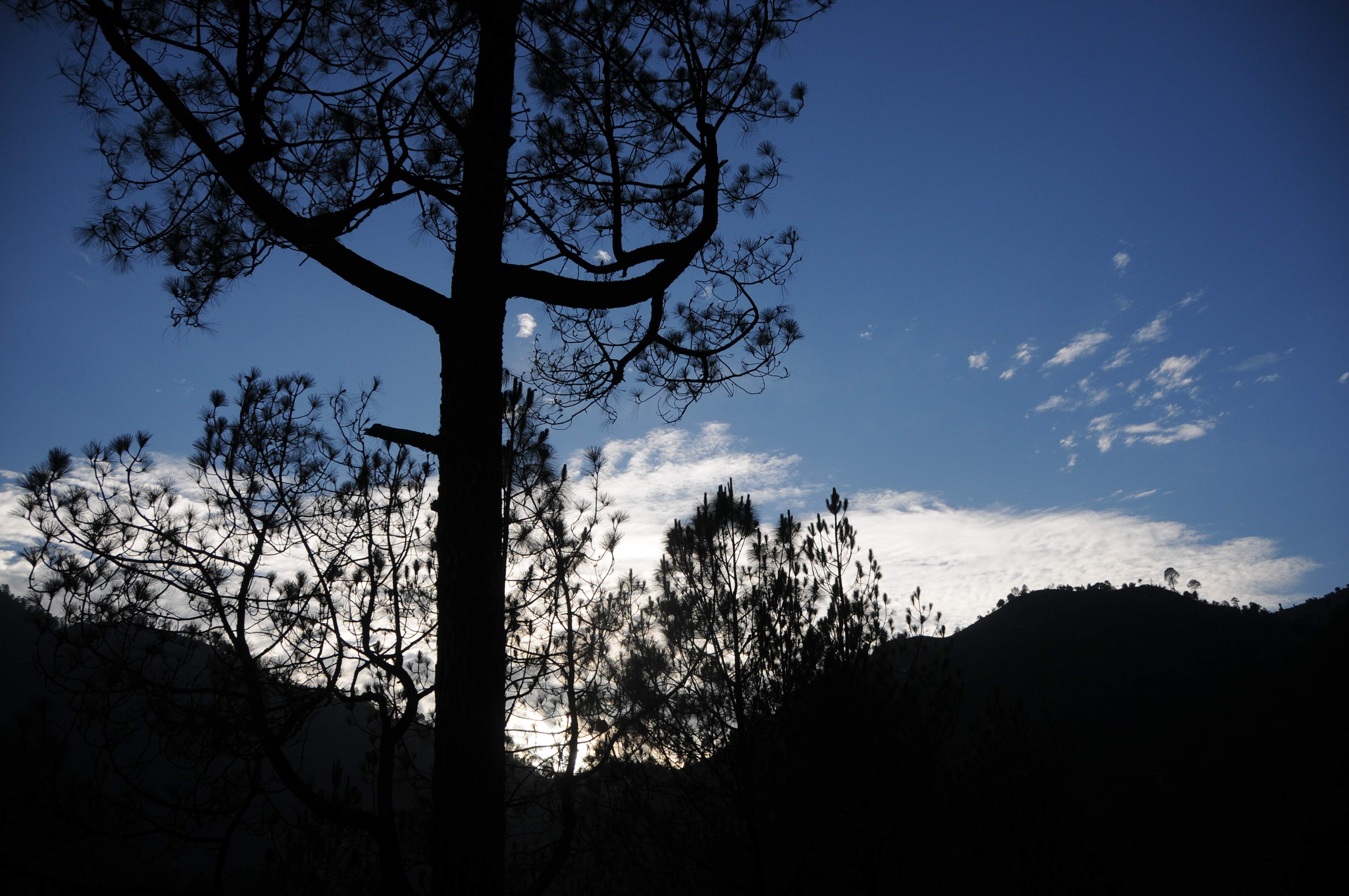
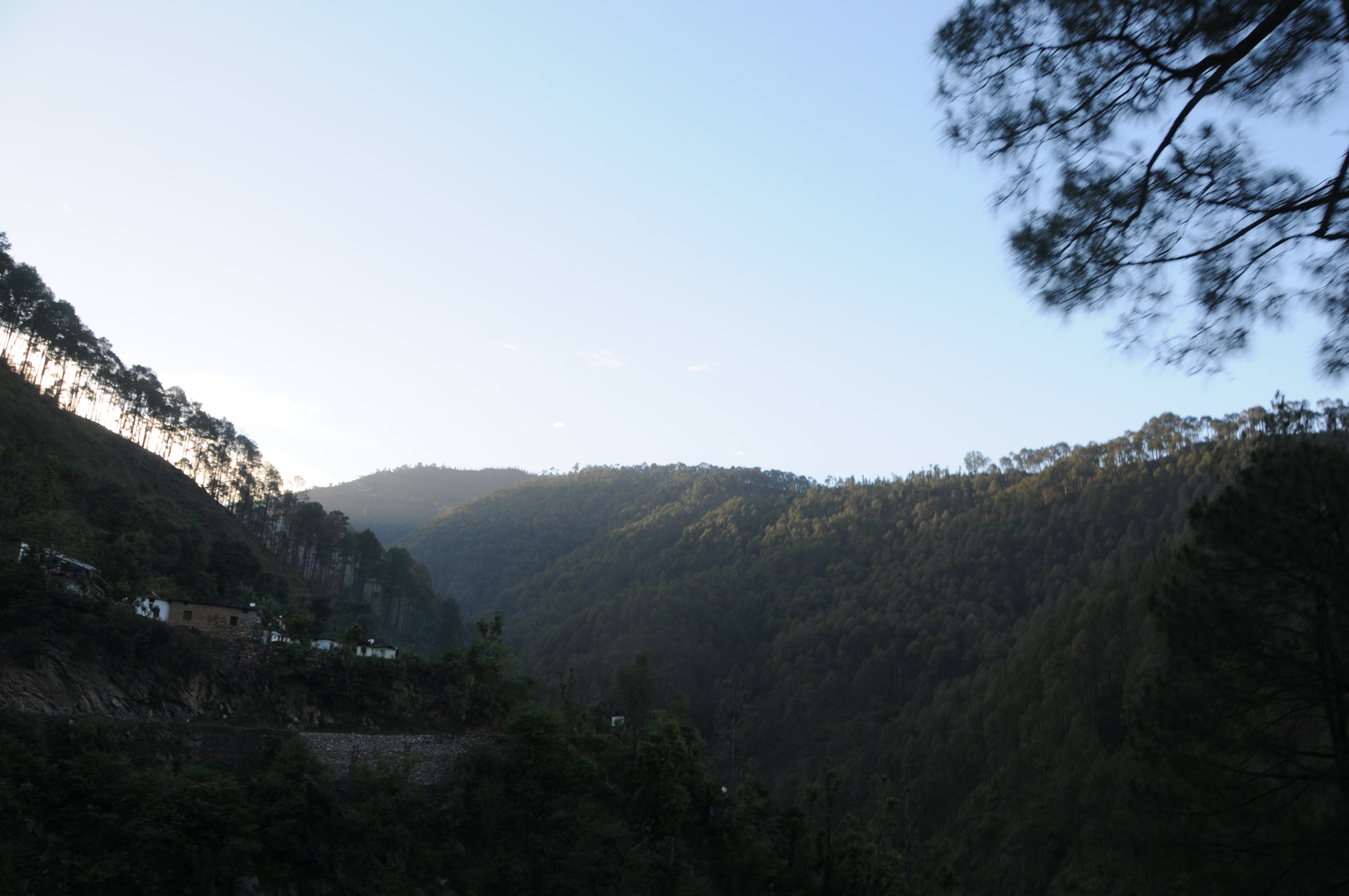
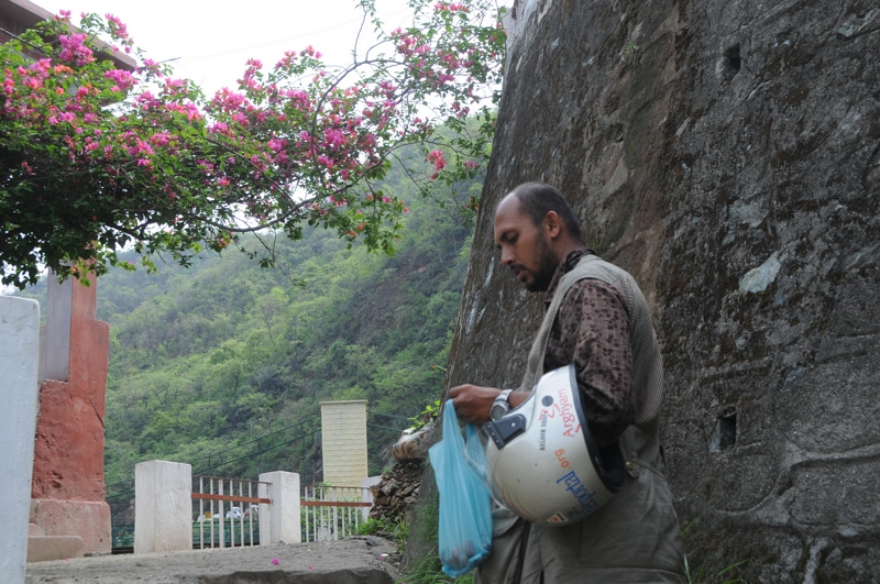
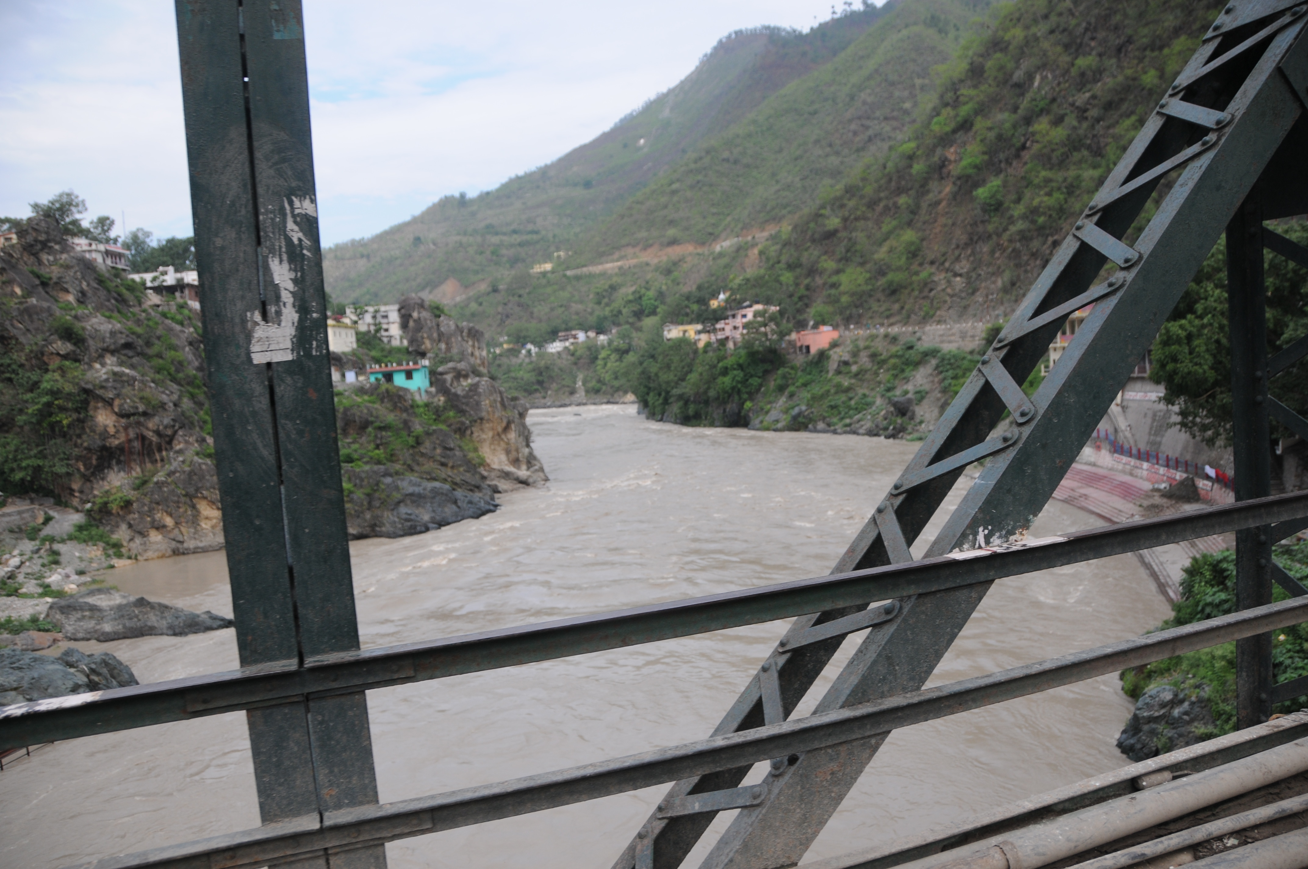
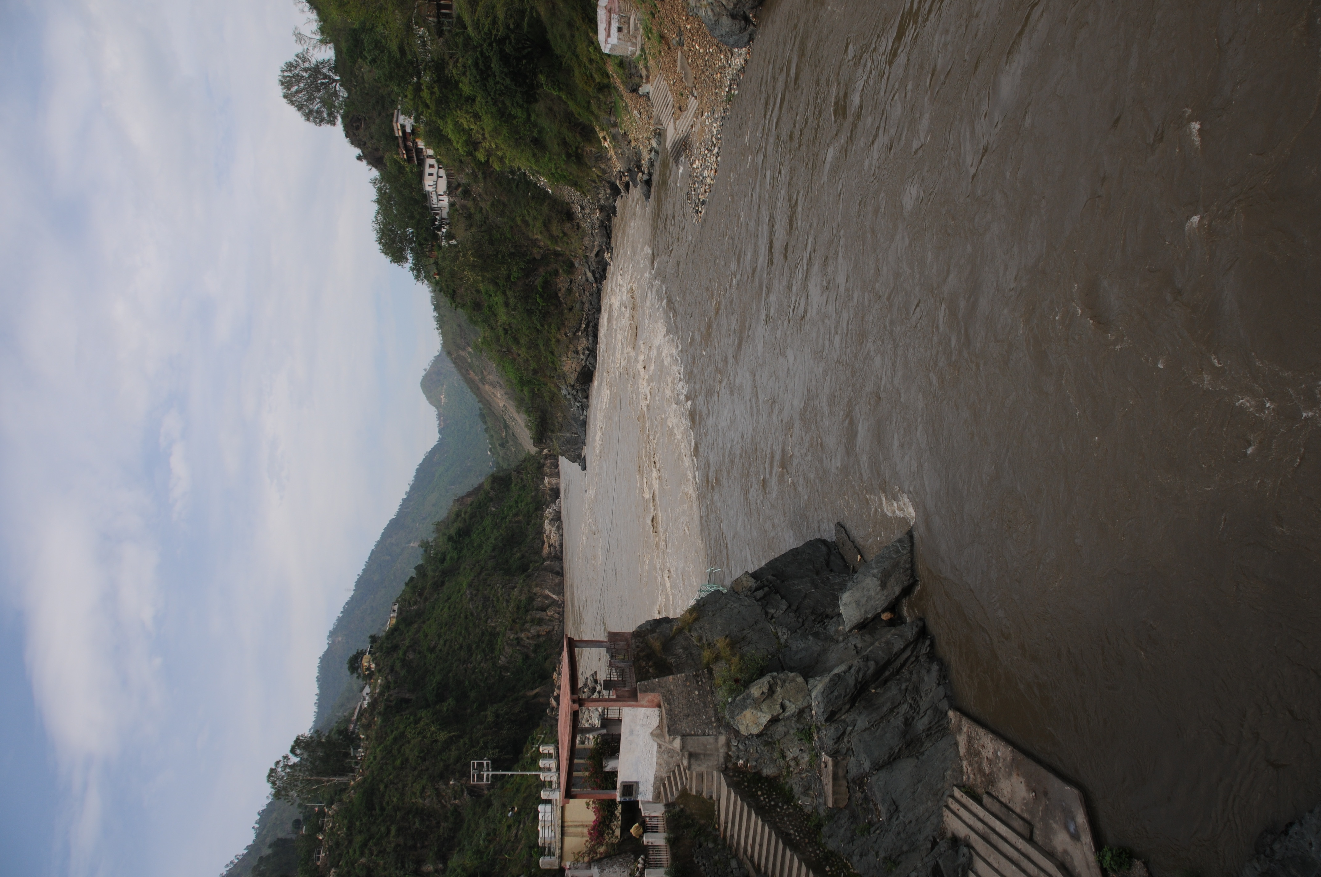
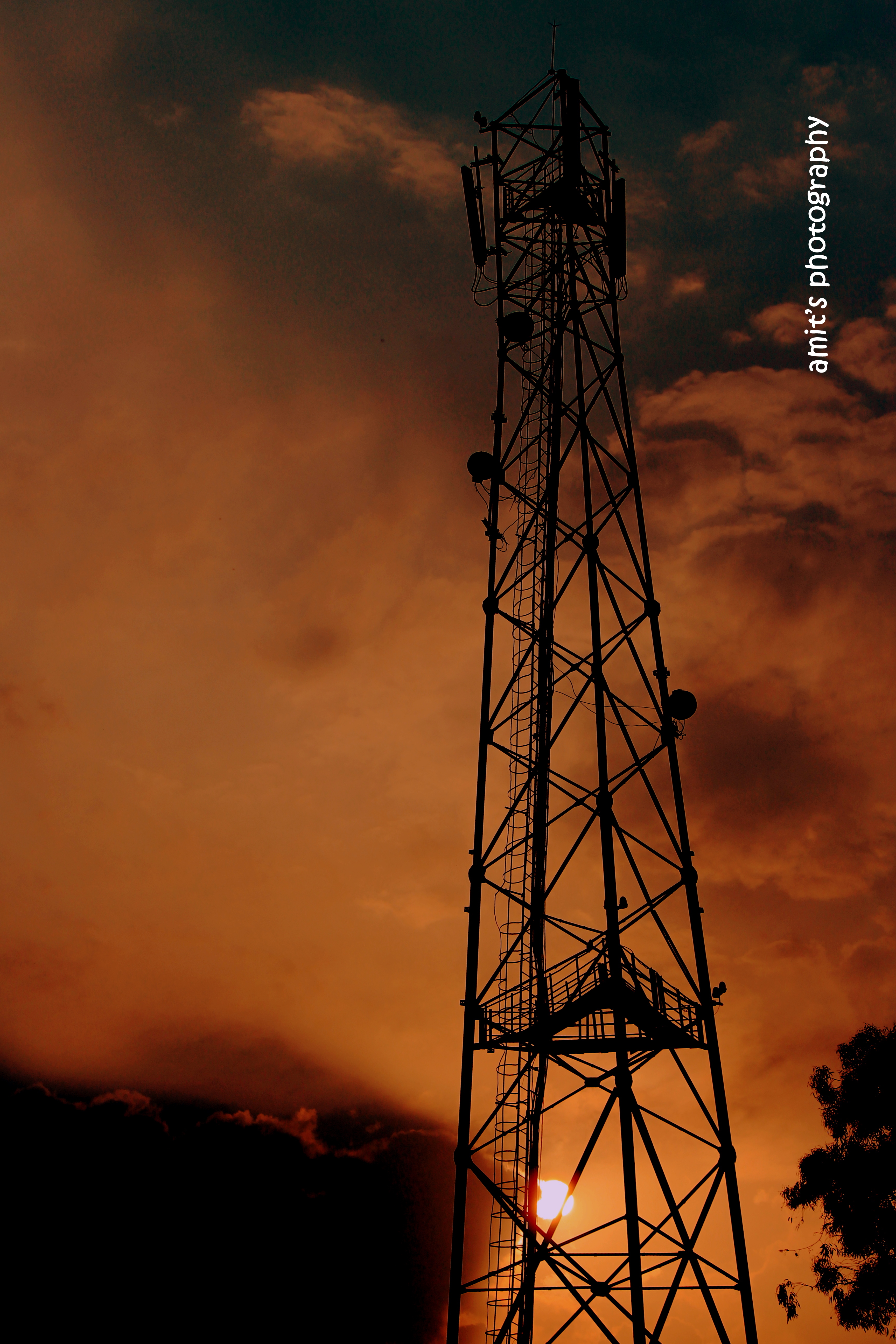
Rudraprayag, Uttarakhand
Rudraprayag, Uttarakhand

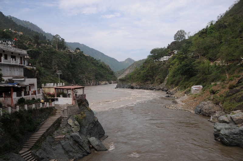
Rudraprayag, Uttarakhand

CSP_2970.JPG
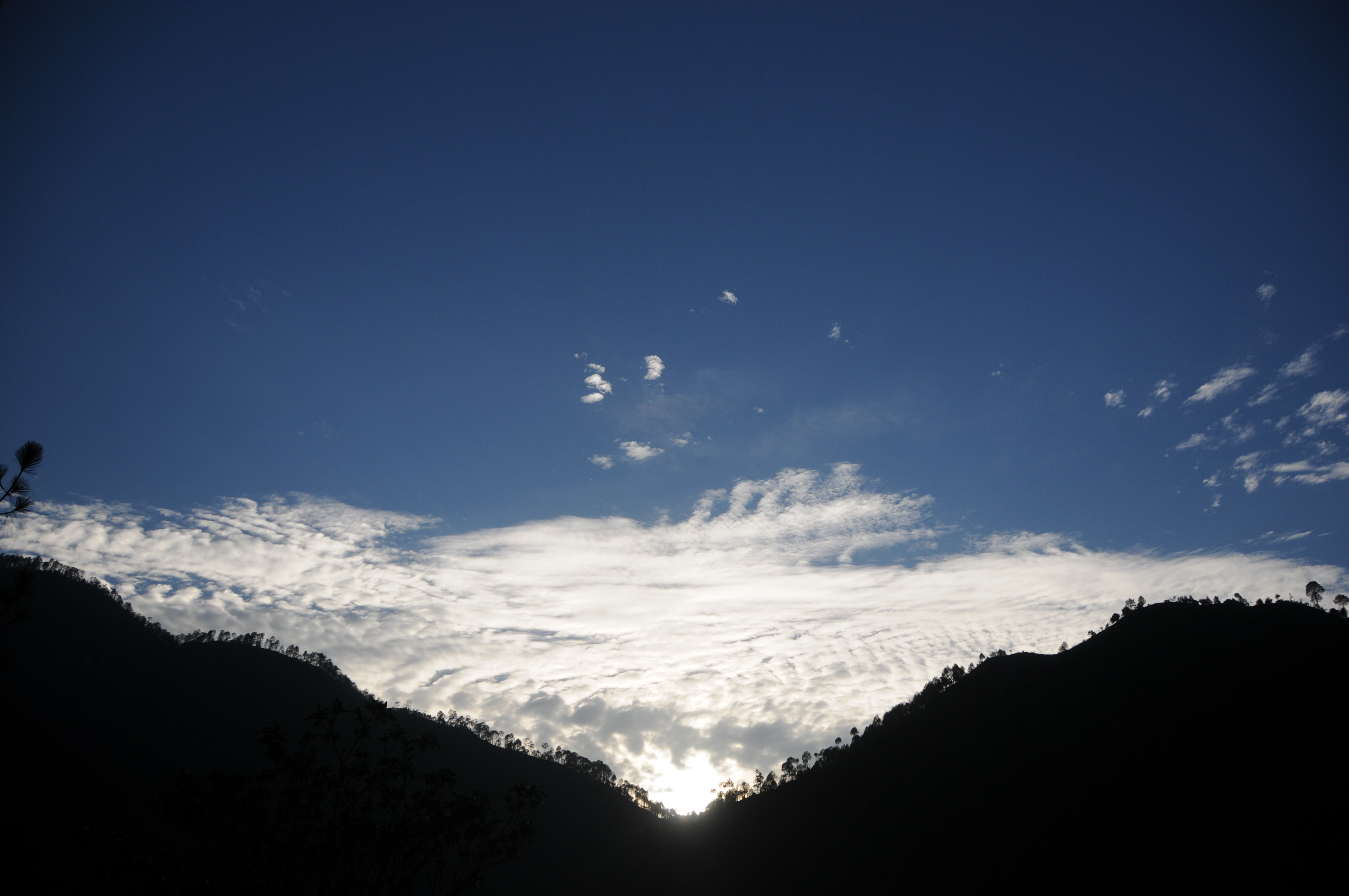
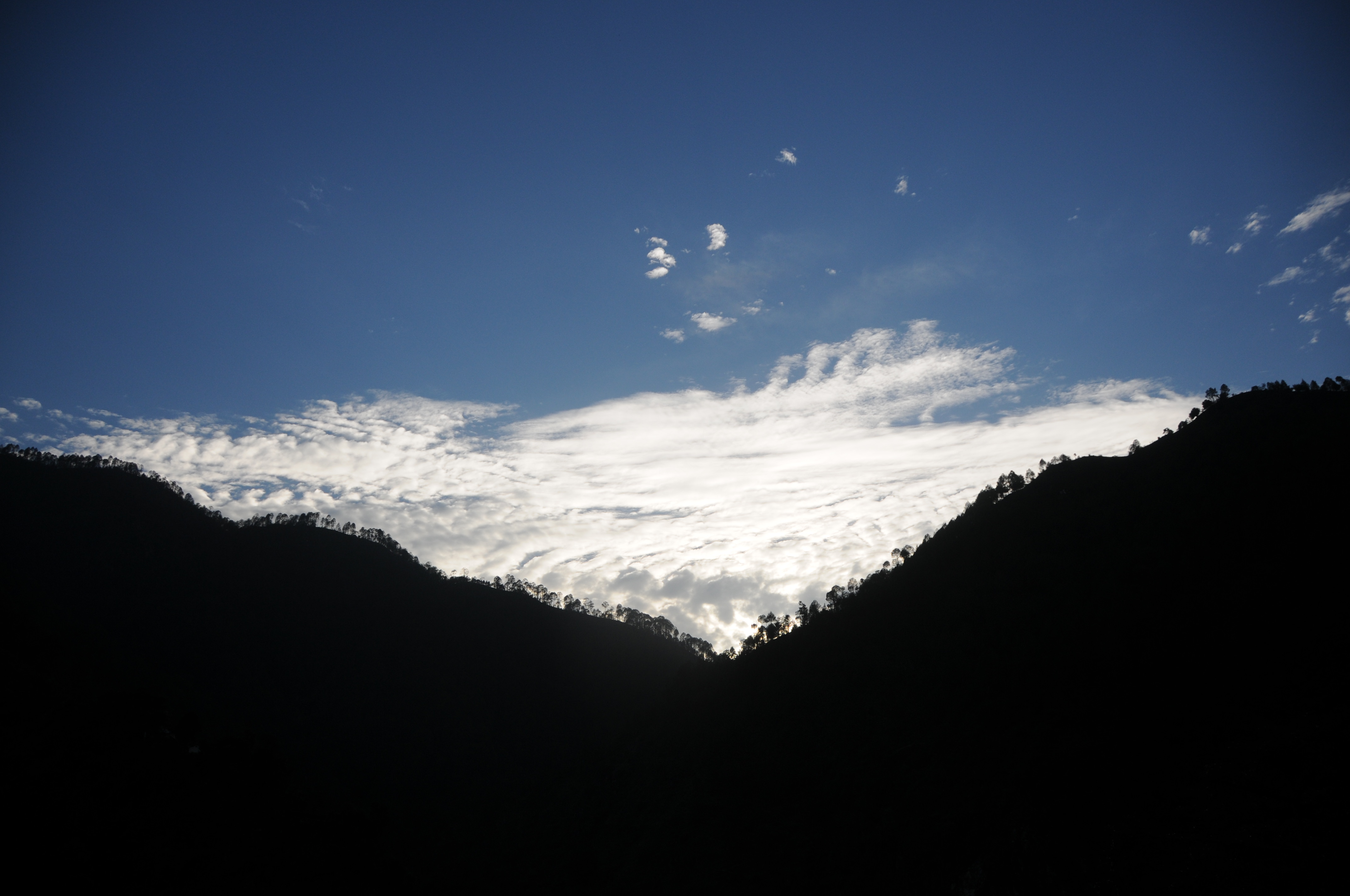
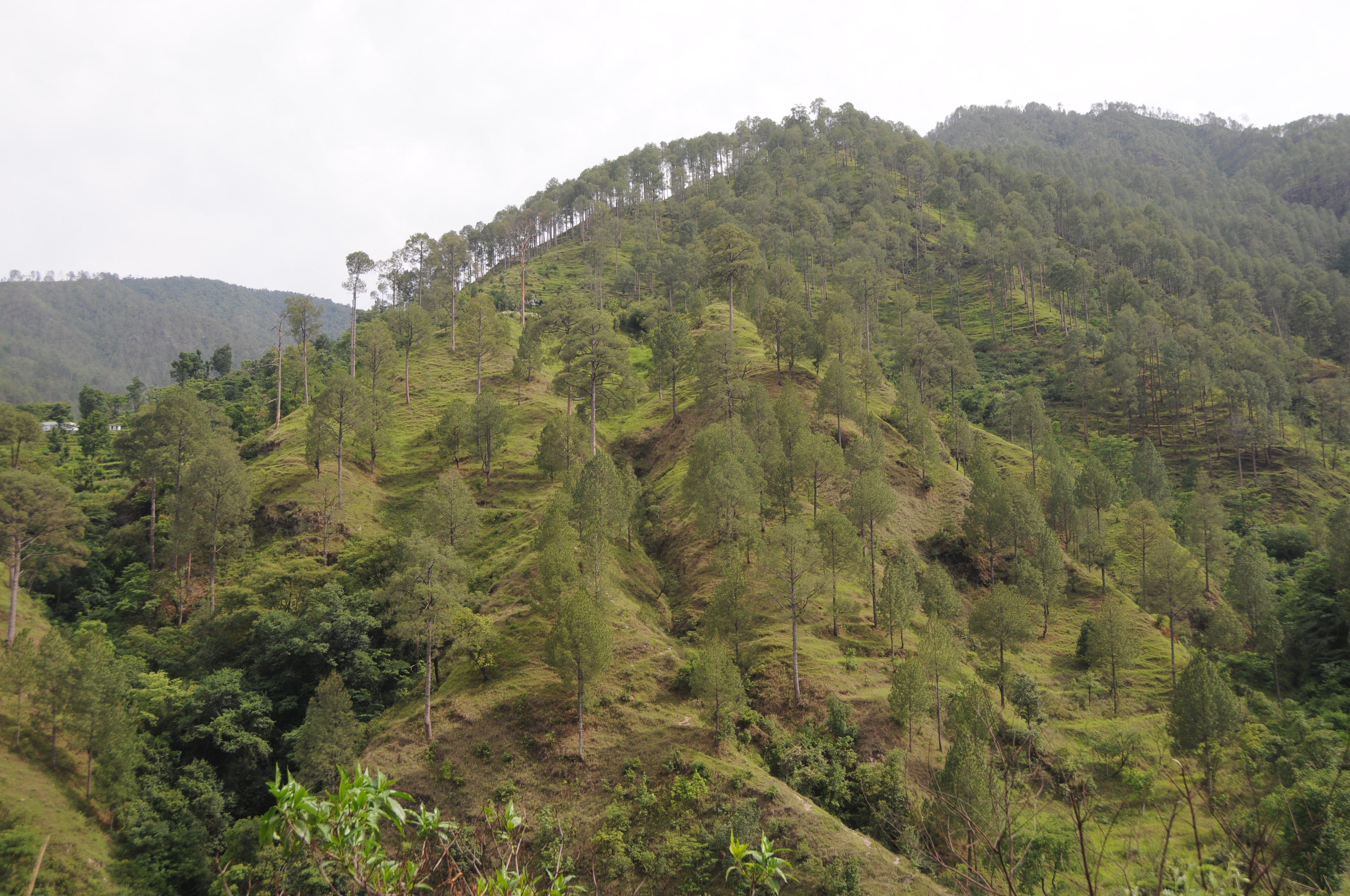
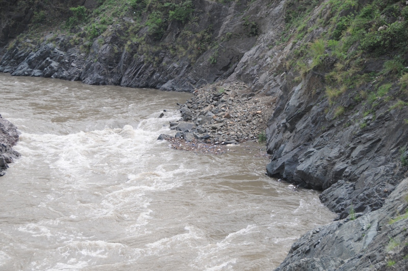
Rudraprayag, Uttarakhand

CSP_2969.JPG
Rudraprayag, Uttarakhand

CSP_3008.JPG
CSP_2945.JPG
CSP_2990.JPG
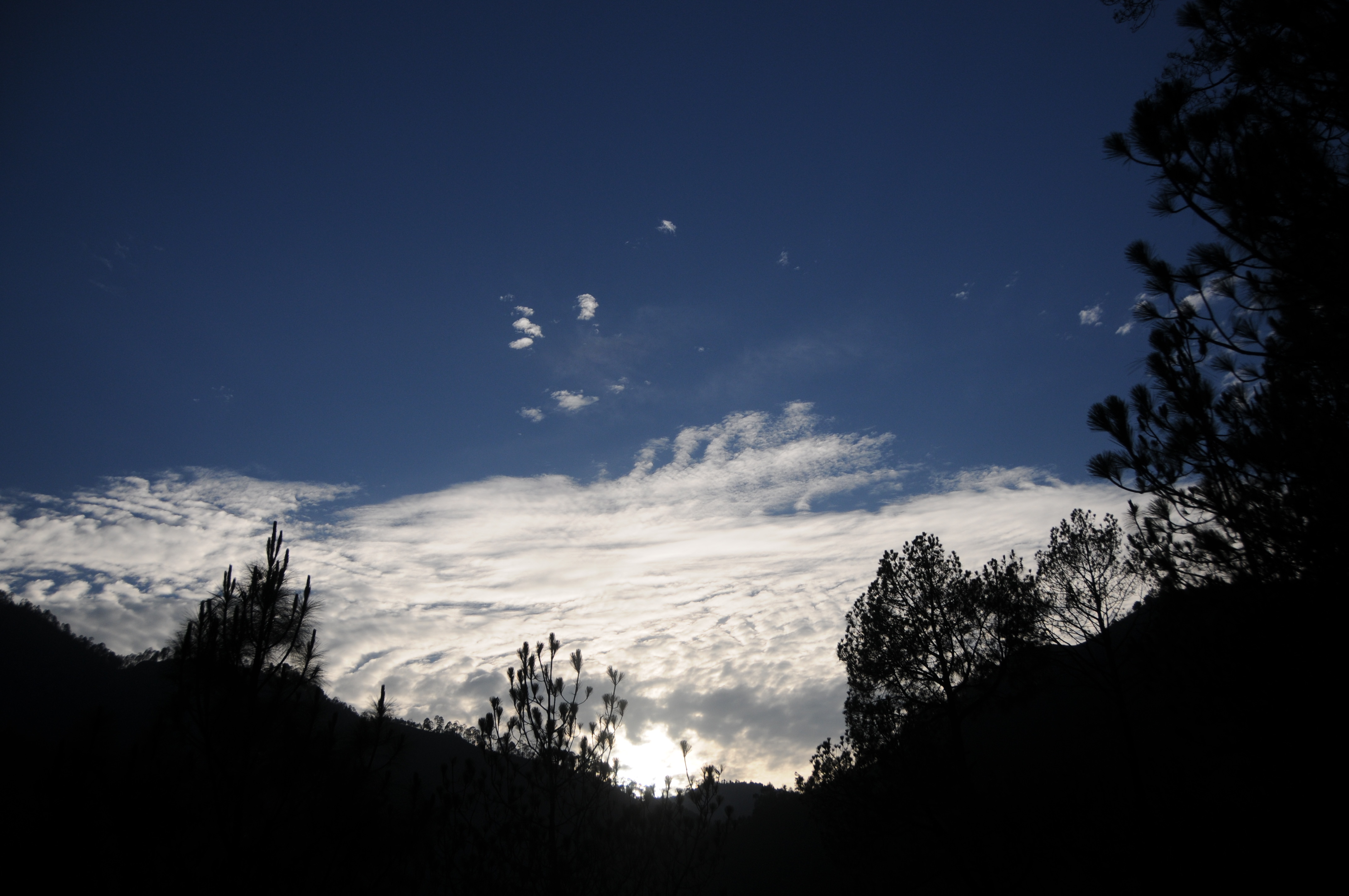
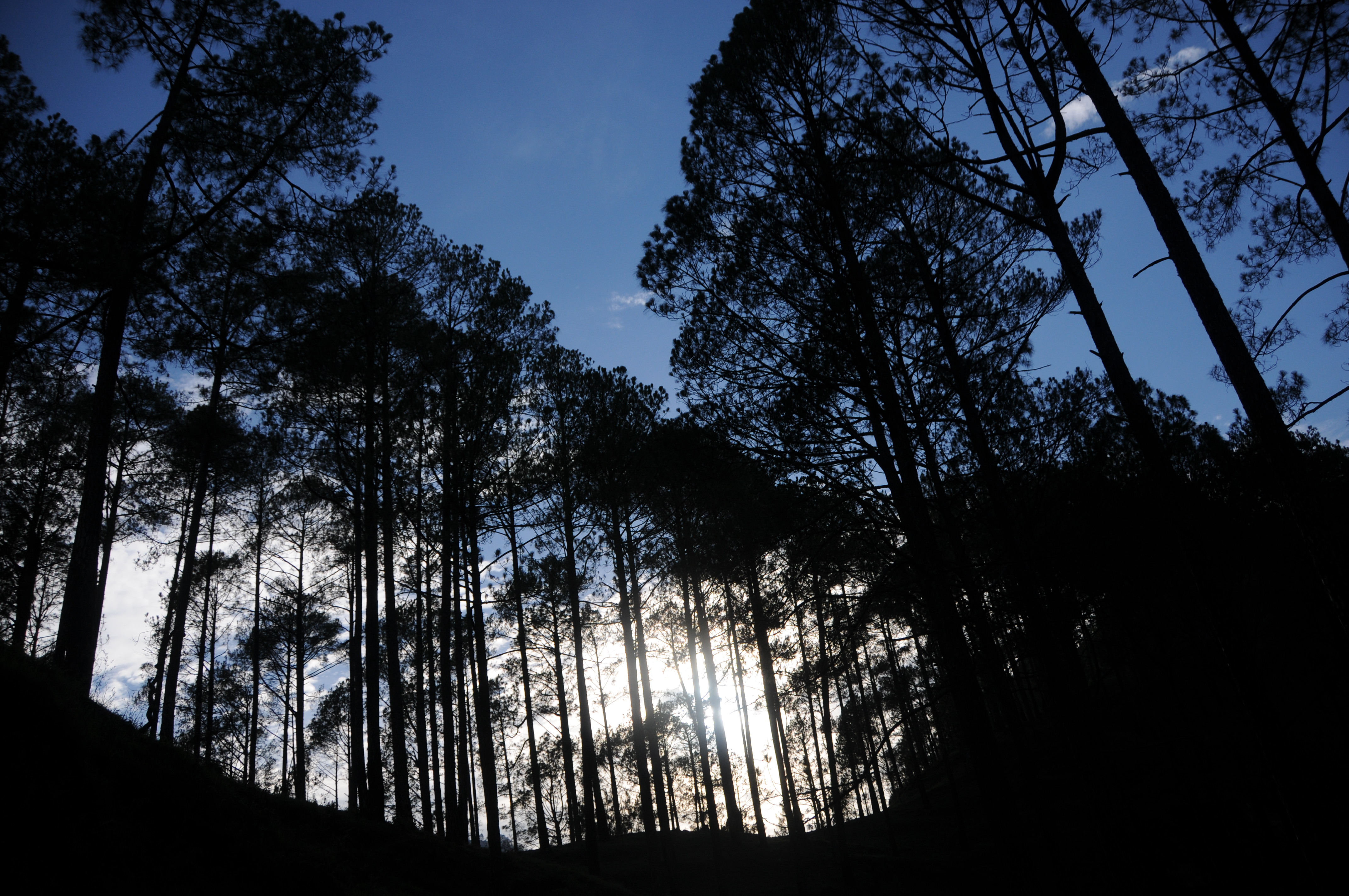
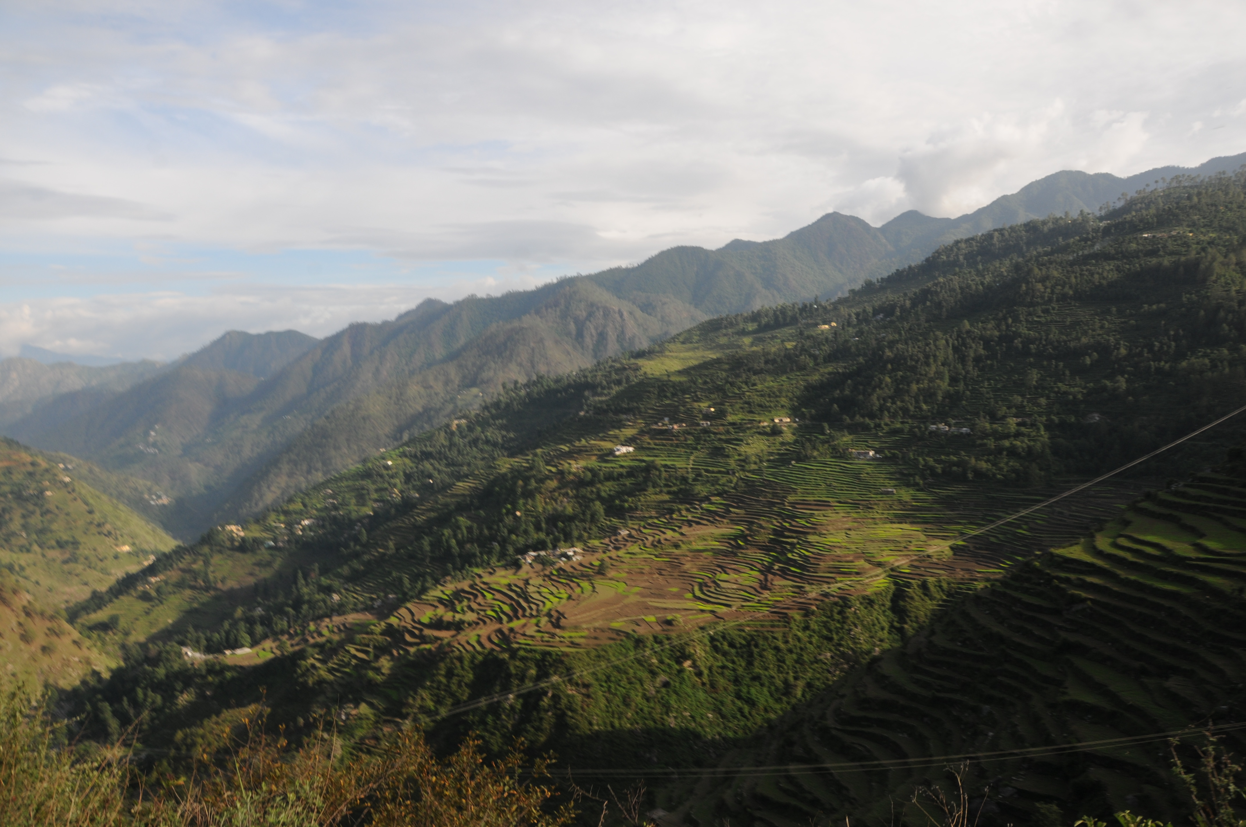
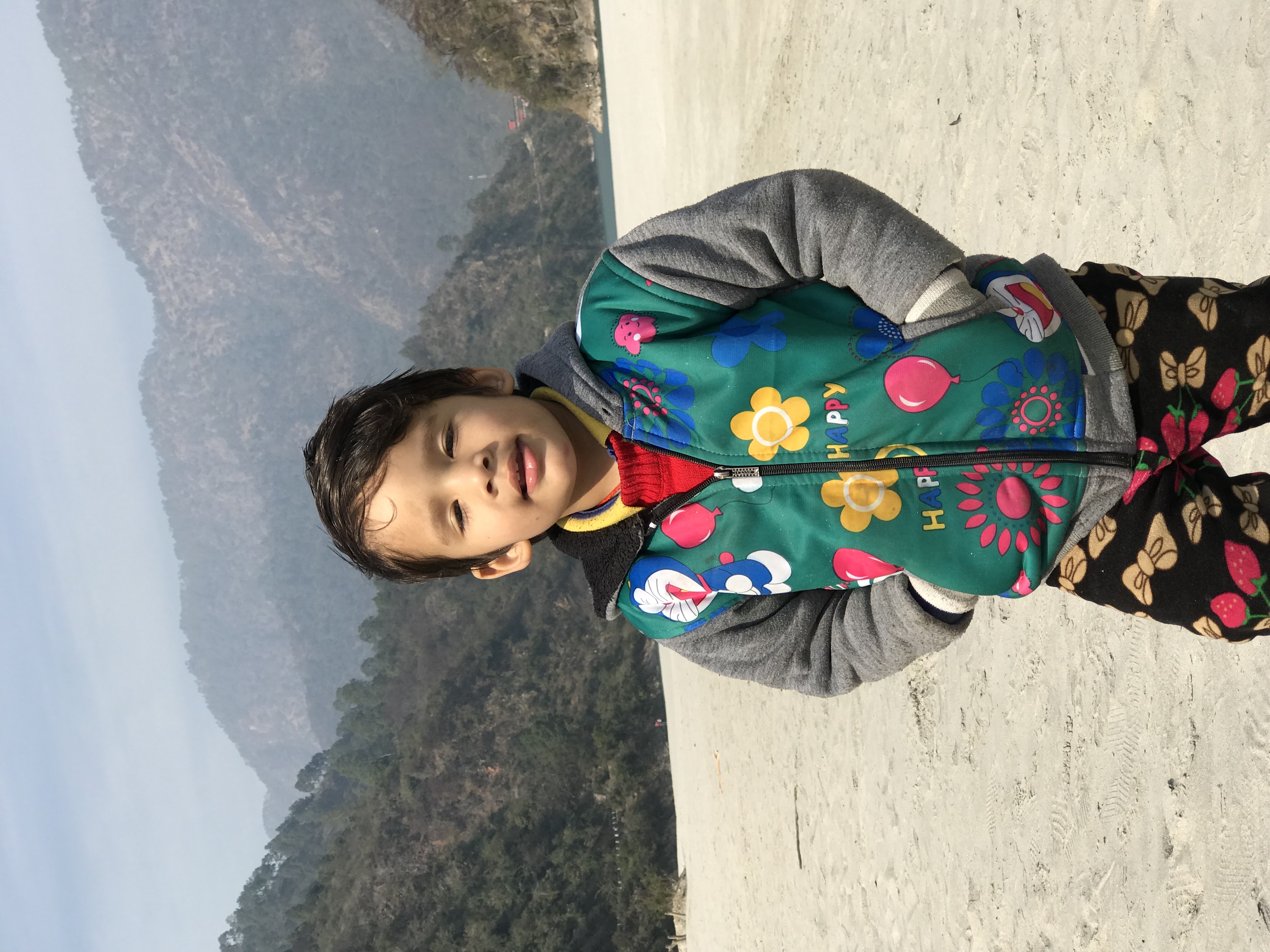
Rudraprayag, Uttarakhand

CSP_3005.JPG
CSP_2948.JPG

Rudraprayag, Uttarakhand
Rudraprayag, Uttarakhand
CSP_2994.JPG

CSP_3004.JPG
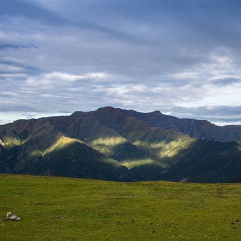
Asia's biggest grassland - Bedni Bugyal at 12000+ feet. The views were just spectacular!!!!

CSP_2995.JPG
CSP_2981.JPG

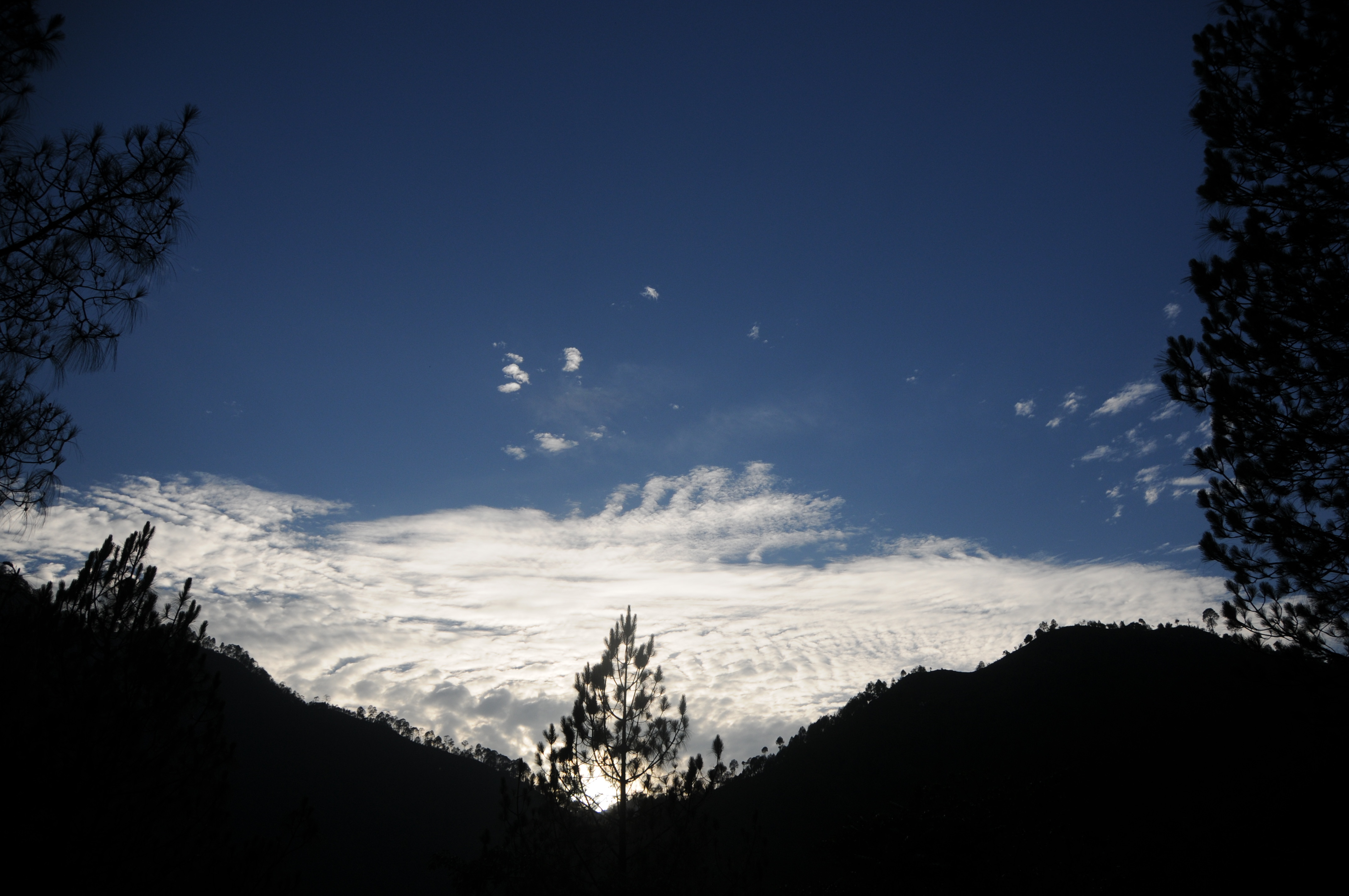
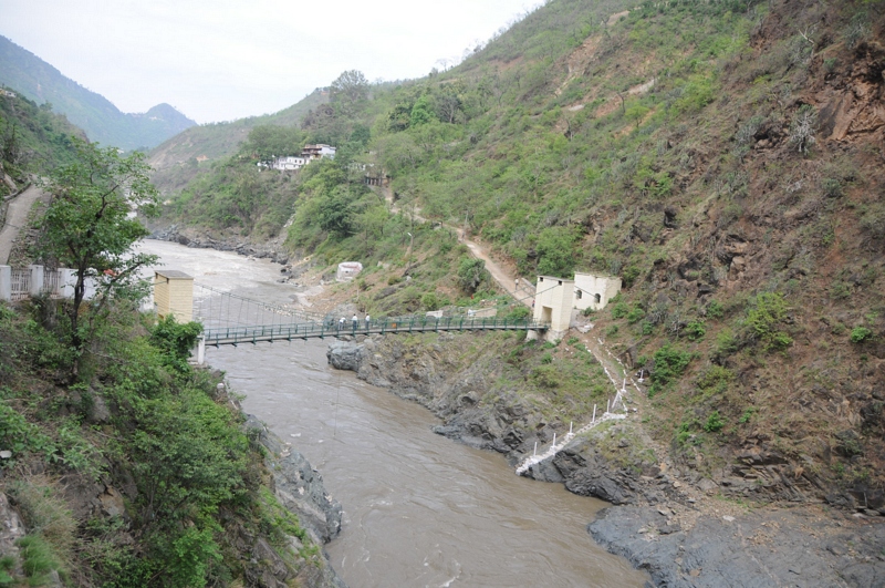
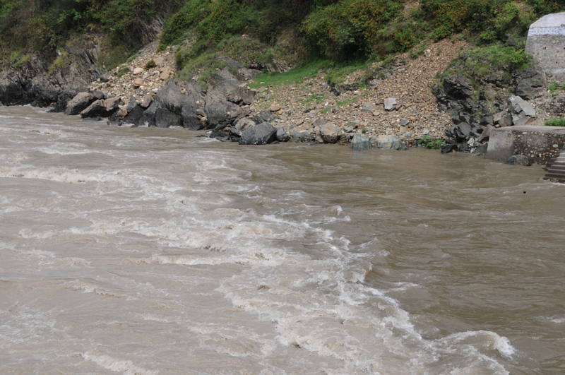
Rudraprayag, Uttarakhand
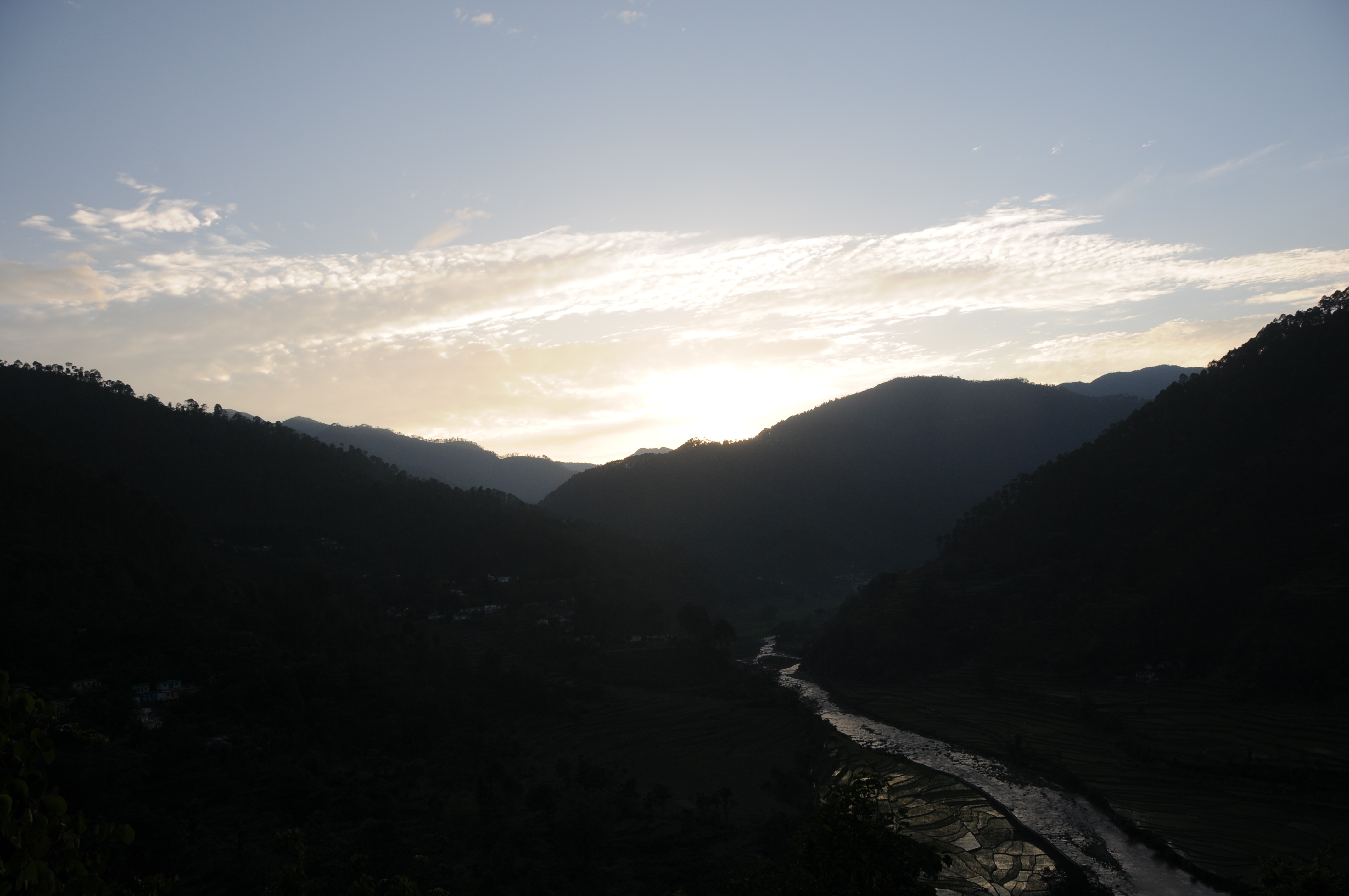
Good morning, from Rudraprayag
Picture 099
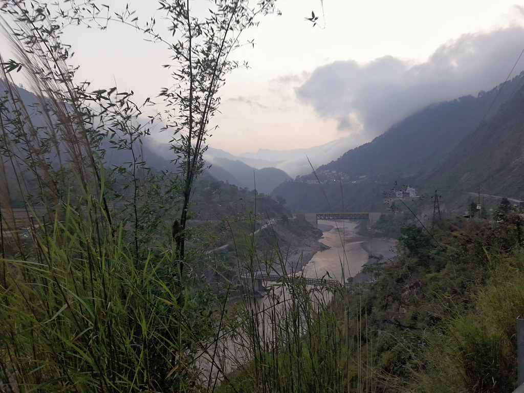
Chopta ,Uttarakhand
Topographic Map of Manjuli, Uttarakhand, India
Find elevation by address:

Places near Manjuli, Uttarakhand, India:
Chirbatiya Forest Rest House
Tuneta
Bazeera
Tilwara
Devalgarh Road
Rudraprayag
Srinagar
Karndhar
Koteshwar Mahadev Mandir
Ssb
Ctc Ssb
Batoli
Anthrag Dang
Khirsu
Durgadhar
Surari
Agastmuni
Ratura
Chopta
Maniguh
Recent Searches:
- Elevation of Village Point Dr, Daphne, AL, USA
- Elevation map of Kabardino-Balkarian Republic, Russia
- Elevation of Tyrnyauz, Kabardino-Balkarian Republic, Russia
- Elevation of Sunset Dr, Hernando, MS, USA
- Elevation of Lake Rotoroa, Tasman, New Zealand
- Elevation of George St, New Bern, NC, USA
- Elevation of Cove Rd, Jasper, GA, USA
- Elevation of Cove Rd, Jasper, GA, USA
- Elevation of South Yankee Meadow Road, Forest Road, Paragonah, UT, USA
- Elevation of SW Elderview Dr, Sherwood, OR, USA