Elevation of Thimmapuram, Andhra Pradesh, India
Location: India > Andhra Pradesh > Guntur >
Longitude: 80.2053647
Latitude: 16.1472957
Elevation: 32m / 105feet
Barometric Pressure: 101KPa
Elevation Map:
Satellite Map:
Related Photos:

Jyurangali Pass stands tall at 5k meters. While the 7 thousander Trishul massif in the background. Roopkund Trek offers the stunning views of Greater Himalayas. It's a must do trek cos of the stunning views and mystery of the skeletons found in Roopkund L
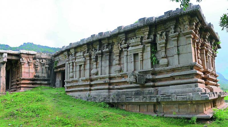
Kondaveedu Fort Guntur Andhra Pradesh

Riding along NH 45!

Sriharish Krishna on a long ride at National Highway 5!

Naveen Prathapaneni with Rural School Students during EWeek 2011
Topographic Map of Thimmapuram, Andhra Pradesh, India
Find elevation by address:

Places near Thimmapuram, Andhra Pradesh, India:
Poluru
Pusuluru
Guntur
Mallikarjuna Swamy Temple
Uppalapadu
Tenali
Amaravathi
Andhra Pradesh Legislative Assembly
Vijayawada
Madduru
Nandigama
Aeroplane Hotel
Vuyyuru
Krishna
Venkatapuram
Avanigadda
Challapalli
Nagayalanka
Pamarru
Gullalamoda
Recent Searches:
- Elevation of Leguwa, Nepal
- Elevation of County Rd, Enterprise, AL, USA
- Elevation of Kolchuginsky District, Vladimir Oblast, Russia
- Elevation of Shustino, Vladimir Oblast, Russia
- Elevation of Lampiasi St, Sarasota, FL, USA
- Elevation of Elwyn Dr, Roanoke Rapids, NC, USA
- Elevation of Congressional Dr, Stevensville, MD, USA
- Elevation of Bellview Rd, McLean, VA, USA
- Elevation of Stage Island Rd, Chatham, MA, USA
- Elevation of Shibuya Scramble Crossing, 21 Udagawacho, Shibuya City, Tokyo -, Japan